Wicklow Hills Road Adventure
A road cycling route starting from Dundrum
Conquer the challenging Wicklow Hills on this epic road adventure
Map
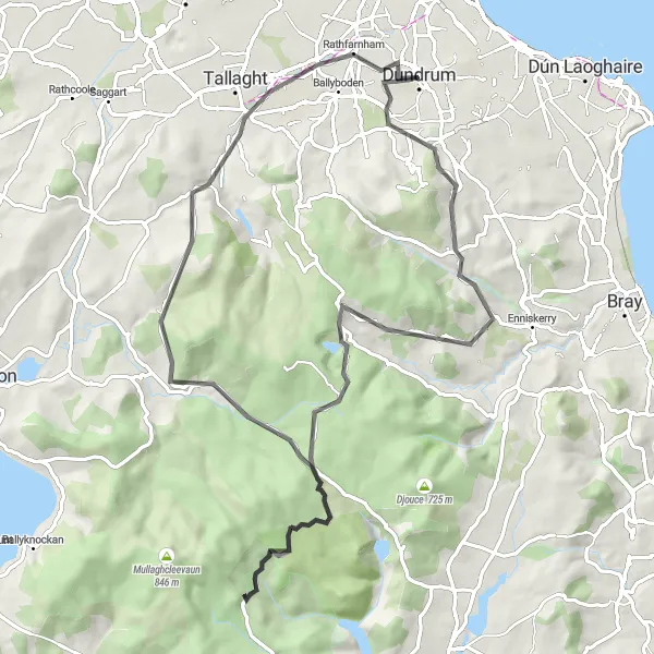
Embark on a thrilling road adventure through the picturesque Wicklow Hills. With a distance of 80 km and an ascent of 1,131 m, this route is recommended for experienced cyclists. Highlights along the way include the stunning Glencullen Valley and the majestic Black Hill.
road
80 km
1131 m
Savage
Route profile
Highlights on the route
0 km
0 km
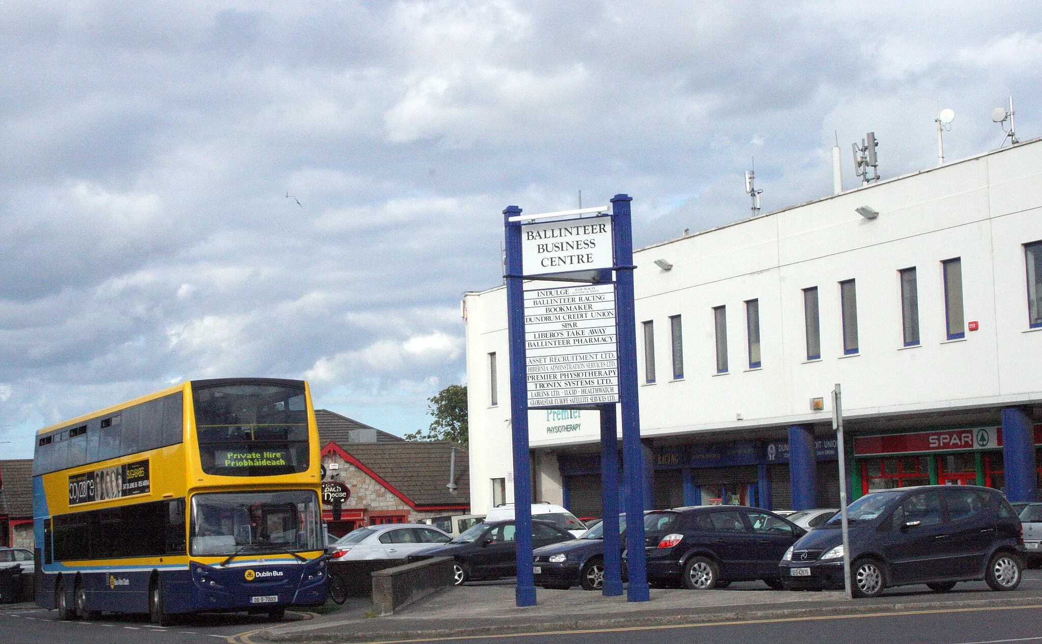
Start: Dundrum City centerDundrum: Conquer the Wicklow Gap and explore Dundrum's diverse cycling terrain.
Dundrum is a locality located in the Eastern and Midland region of Ireland. From a cyclist's perspective, Dundrum offers varied terrain with a mix of rural and suburban roads. The town itself has a pleasant atmosphere and is conveniently located near Dublin Mountains. Cyclists can enjoy challenging climbs and scenic routes within the region. One prominent cycling spot nearby is the spectacular Wicklow Gap, known for its demanding ascent. Dundrum serves as a suitable base for exploring both urban and natural landscapes, making it an attractive destination for cyclists.11 km
11 km
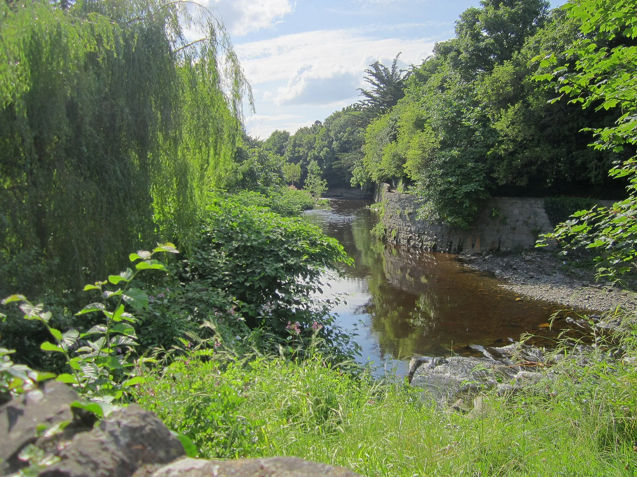
GlencullenVillageGlencullen Valley is a breathtaking natural wonder, with lush green landscapes and panoramic views.
17 km
17 km
Knockree342 mPeakKnockree is a scenic spot surrounded by the stunning Wicklow Mountains and Glencree Valley.
28 km
28 km
Spot 538538 mPeakSpot 538 offers a breathtaking vista of the Wicklow Mountains, perfect for photo enthusiasts.
65 km
65 km
Black Hill470 mPeakBlack Hill is a challenging climb that rewards cyclists with stunning views of County Wicklow.
76 km
76 km
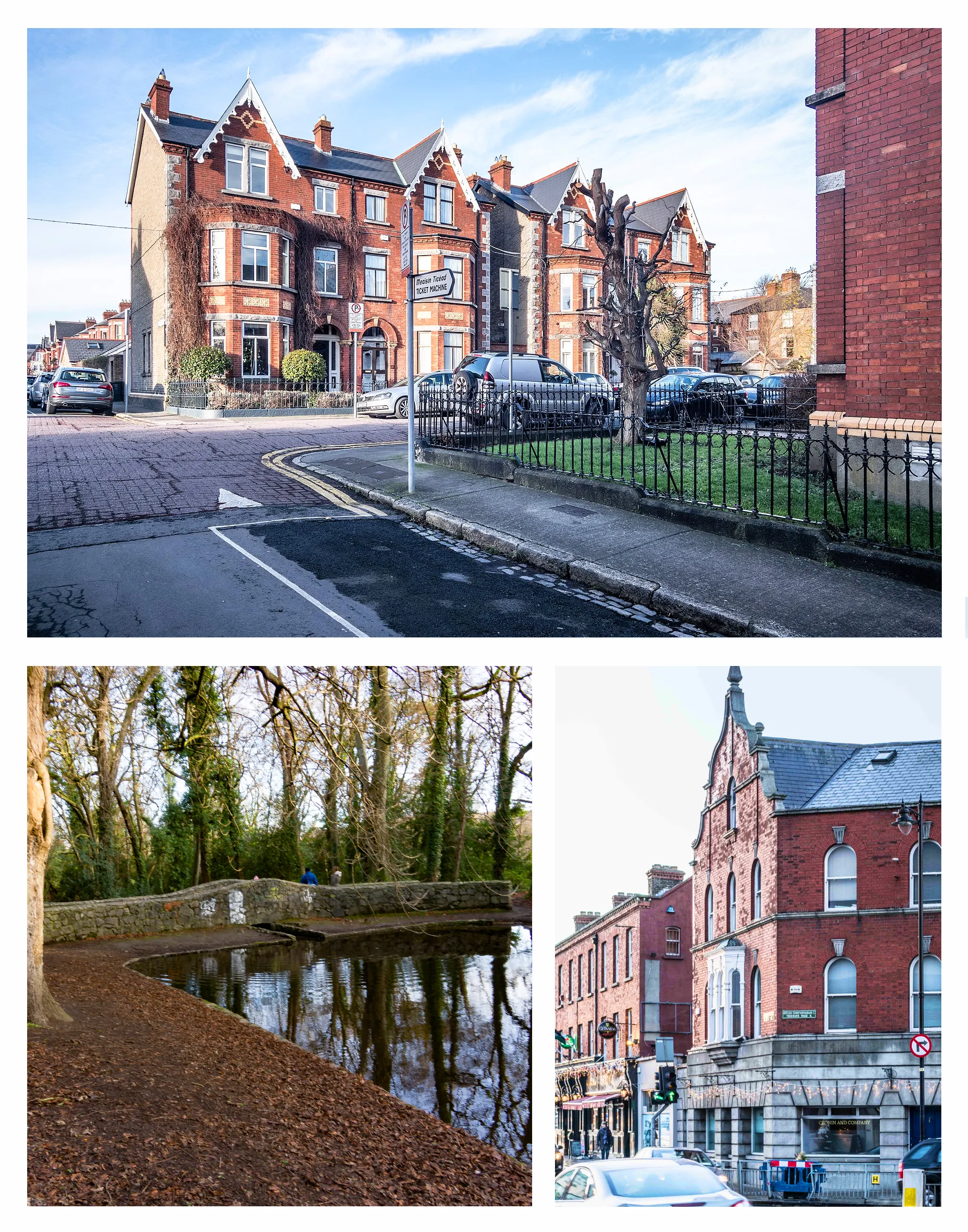
RathfarnhamVillageRathfarnham is a charming suburb with historic sites and picturesque parks, ideal for a rest stop.
80 km
80 km
Finish: Dundrum City centerDundrum: Conquer the Wicklow Gap and explore Dundrum's diverse cycling terrain.
Cycling routes nearby: