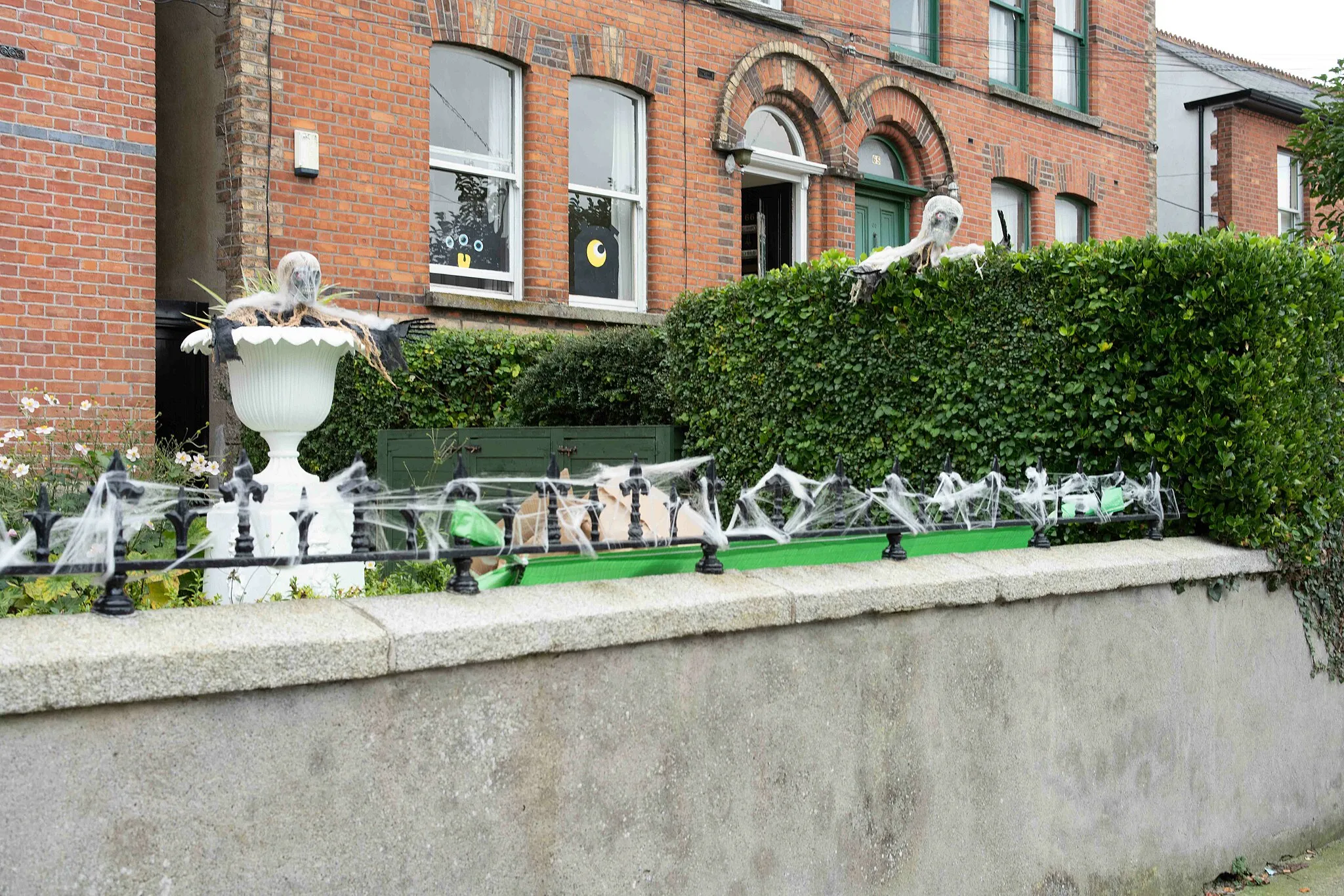
Experience challenging climbs and diverse landscapes in Ballinteer.
Cycling routes from Ballinteer
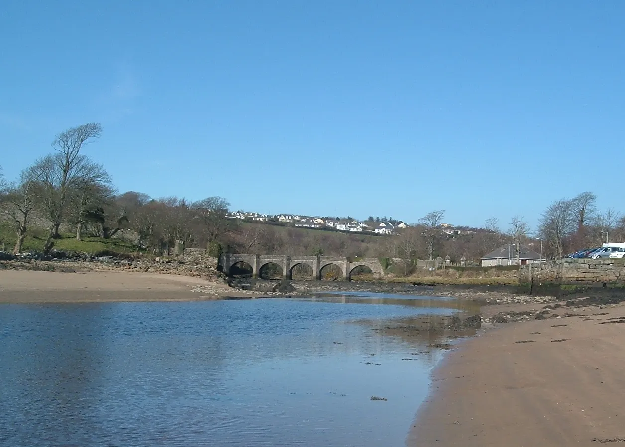
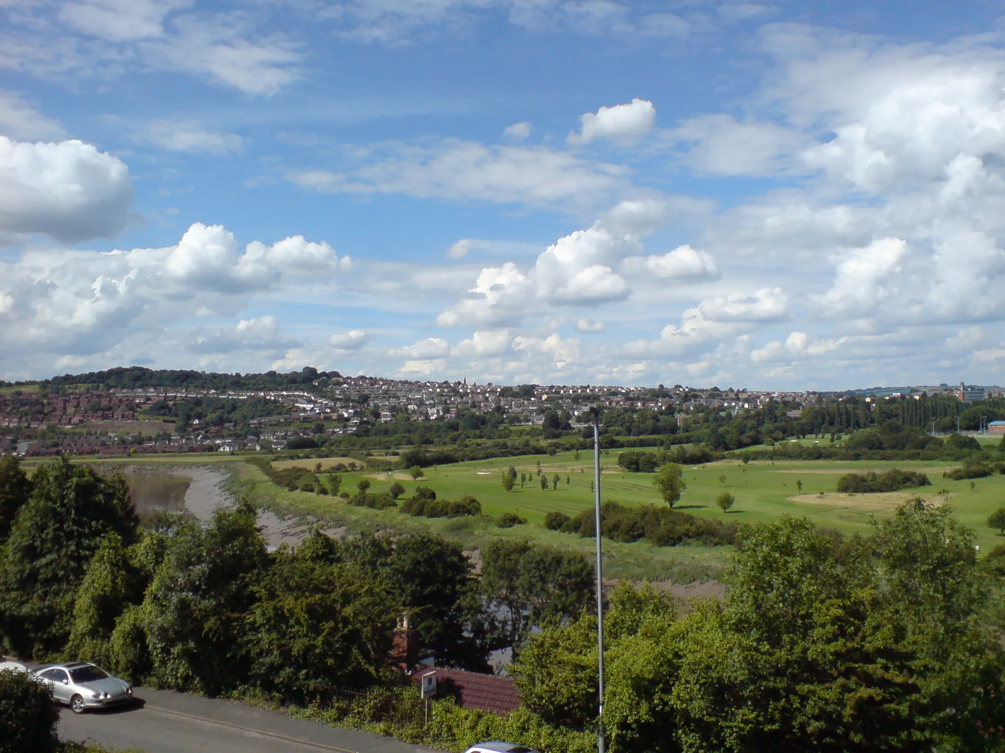
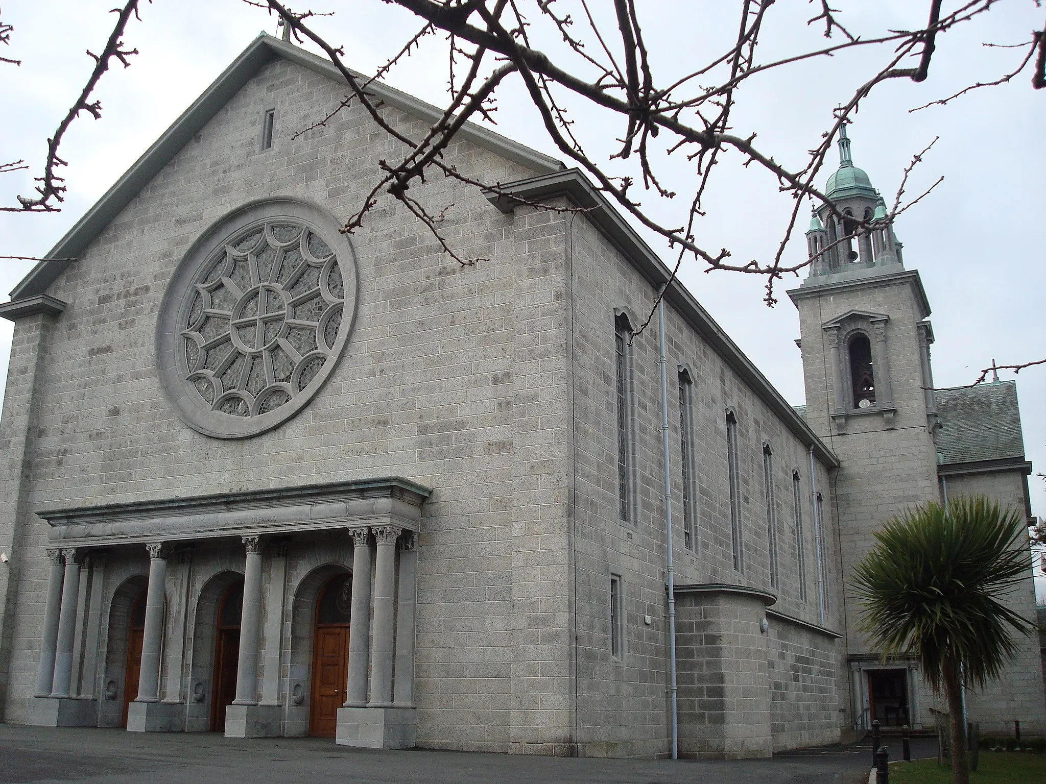
Ballinteer, located in Eastern and Midland Ireland, offers a variety of cycling options for road and gravel cyclists. The area features both urban and countryside routes, giving cyclists the chance to explore diverse landscapes. Ballinteer is home to the well-known climb, Montpelier Hill, also known as the Hellfire Club. This challenging ascent is popular among cyclists looking for a demanding climb. As a cyclist, you can enjoy the scenic beauty of the area while tackling interesting routes. With its mix of urban and countryside routes, Ballinteer ranks at 4 for cyclists.
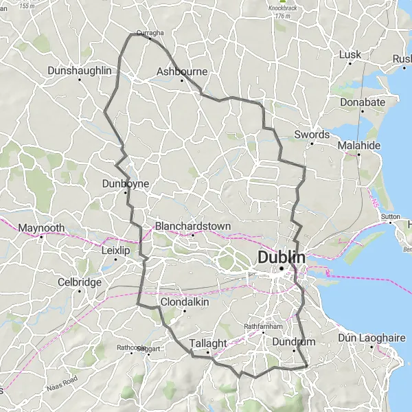
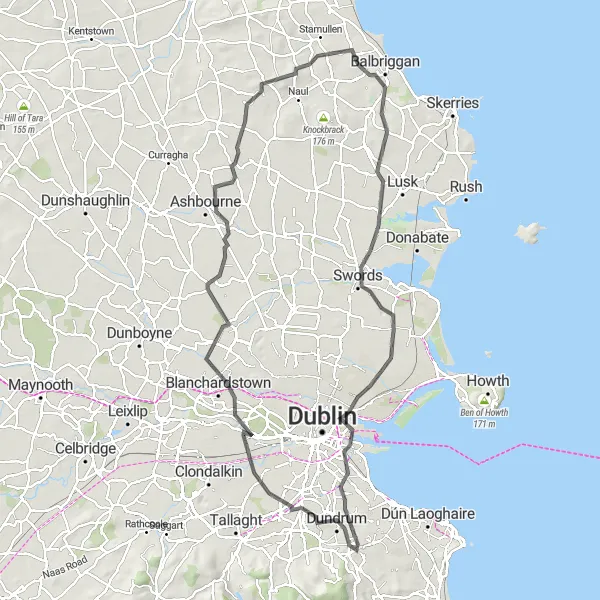
An extensive road cycling route for exploring the diverse landscapes of Dublin
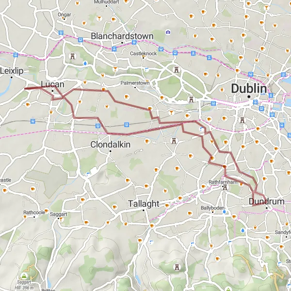
The Dublin Exploration Road Cycling route is perfect for experienced cyclists looking to discover the diverse landscapes of Dublin. With an ascent of 436 meters and a distance of 96 kilometers, this route takes you through charming villages, lush countryside, and historical landmarks. Starting near Ballinteer, the route winds its way through Lucan, Dunboyne, and Ashbourne, offering stunning views of the Dublin Mountains and the Valley of the River Liffey. Highlights along the route include the picturesque Lucan Village, Dunboyne Castle, and the serene Santry Demesne Park. This route is rated 3 out of 5 in difficulty and 4 out of 5 in epicness.
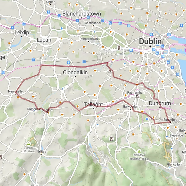
Embark on a challenging road adventure through County Dublin's scenic landscapes
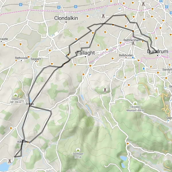
The County Dublin Road Adventure is a challenging route for road cyclists who are looking for an immersive riding experience through scenic countryside. With an ascent of 534 meters and a distance of 62 kilometers, this route offers a mix of flats, descents, and climbs that will put your fitness and skills to the test. Starting in Ballinteer, the route takes you through picturesque villages and historic landmarks, such as the majestic Belgard Castle and Tallaght's iconic Three Castles. This route is rated 4 out of 5 in difficulty and 4 out of 5 in epicness.
Dublin Outskirts Gravel Ride
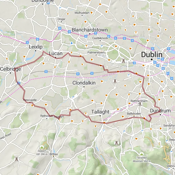
Explore the beautiful outskirts of Dublin on this scenic gravel ride
The Dublin Outskirts Gravel Ride offers a scenic journey through the outskirts of Dublin, suitable for all levels of gravel riders. With a distance of 55 kilometers and an ascent of 187 meters, this route provides a leisurely ride with some minor climbs. Starting near Ballinteer, the route takes you through charming villages and picturesque countryside. Highlights along the way include the historic Kilmainham Gaol, where you can learn about Ireland's history, and the quaint town of Celbridge, known for its beautiful Castletown House. This route is rated 2 out of 5 in difficulty and 3 out of 5 in epicness.
Scenic Gravel Escape
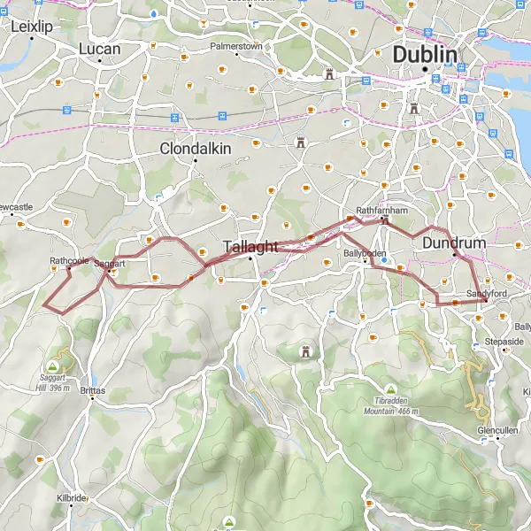
Embark on a scenic gravel escape from Ballinteer
Escape the hustle and bustle of the city with this scenic gravel route from Ballinteer. Immerse yourself in the beauty of the surrounding countryside and enjoy the peacefulness of nature. This route offers stunning views and a refreshing change of pace, perfect for a relaxing weekend ride.
Ballinteer Gravel Adventure
Embark on a thrilling gravel adventure from Ballinteer
Gear up for an exciting off-road gravel adventure starting from Ballinteer. This route offers a thrilling ride through rugged terrain and natural landscapes, perfect for gravel enthusiasts. Enjoy the challenge and adrenaline of exploring the untamed wilderness along the way.
Explore the scenic countryside from Ballinteer to Clonskeagh
Embark on a picturesque journey from Ballinteer to Clonskeagh, taking in the beautiful countryside along the way. This route offers stunning views of the surrounding hills and valleys, as well as charming villages and historical landmarks.
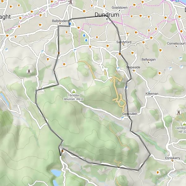
Experience an exhilarating ride in Glencullen
Embark on an exhilarating cycling adventure in Glencullen. This route takes you through challenging terrain and offers breathtaking views of the surrounding mountains. Enjoy the thrill of twisting roads and conquer the ascent to Killakee Mountain for a truly unforgettable experience.
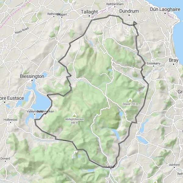
Conquer the Dublin Mountains on this epic road cycling challenge
The Dublin Mountain Challenge is an epic road cycling route for experienced riders seeking the ultimate challenge. With an astonishing ascent of 1,878 meters and a distance of 100 kilometers, this route takes you on a journey through the rugged and picturesque landscapes of the Dublin Mountains. Starting near Ballinteer, the route includes iconic climbs such as Glencullen, Long Hill, and Glendalough Monastic Site. Highlights along the way include the stunning Glendalough Valley, home to ancient monastic ruins, and the scenic Ballyboden area, with its panoramic views of Dublin City. This route is rated 5 out of 5 in difficulty and 5 out of 5 in epicness.
Uncover the historical gems on this gravel loop
Venture onto the historical gravel loop and uncover the hidden gems of the region. This route takes you through fascinating historical sites and charming villages, providing a unique insight into the area's rich heritage. Take some time to explore the historic landmarks and immerse yourself in the stories of the past.
Glencullen Loop
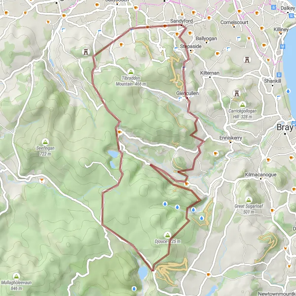
A thrilling gravel route with stunning landscapes and challenging ascents
The Glencullen Loop offers an exhilarating gravel route with breathtaking scenery and varied terrain. With a total ascent of 1330 meters and a distance of 60 kilometers, it is perfect for adventure-seeking cyclists. The route starts near Ballinteer and takes you through the picturesque Glencullen village, offering panoramic views of the Dublin Mountains. Highlights along the route include the historic Glencullen Pub, which dates back to the 18th century, and the stunning Powerscourt Waterfall, the highest waterfall in Ireland. This challenging route is rated 3 out of 5 in difficulty and 4 out of 5 in epicness.
Cycling routes nearby:

Nearby regions: