Ballinteer Gravel Adventure
A gravel cycling route starting from Ballinteer
Embark on a thrilling gravel adventure from Ballinteer
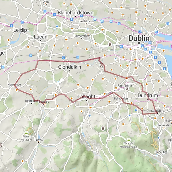
Map
Gear up for an exciting off-road gravel adventure starting from Ballinteer. This route offers a thrilling ride through rugged terrain and natural landscapes, perfect for gravel enthusiasts. Enjoy the challenge and adrenaline of exploring the untamed wilderness along the way.
gravel
50 km
200 m
Tough
Route profile
Highlights on the route
0 km
0 km
Start: Sandyford Village centerBallinteer: Experience challenging climbs and diverse landscapes in Ballinteer.
Ballinteer, located in Eastern and Midland Ireland, offers a variety of cycling options for road and gravel cyclists. The area features both urban and countryside routes, giving cyclists the chance to explore diverse landscapes. Ballinteer is home to the well-known climb, Montpelier Hill, also known as the Hellfire Club. This challenging ascent is popular among cyclists looking for a demanding climb. As a cyclist, you can enjoy the scenic beauty of the area while tackling interesting routes. With its mix of urban and countryside routes, Ballinteer ranks at 4 for cyclists.6 km
6 km
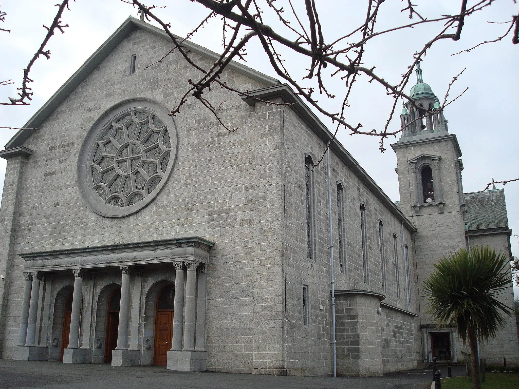
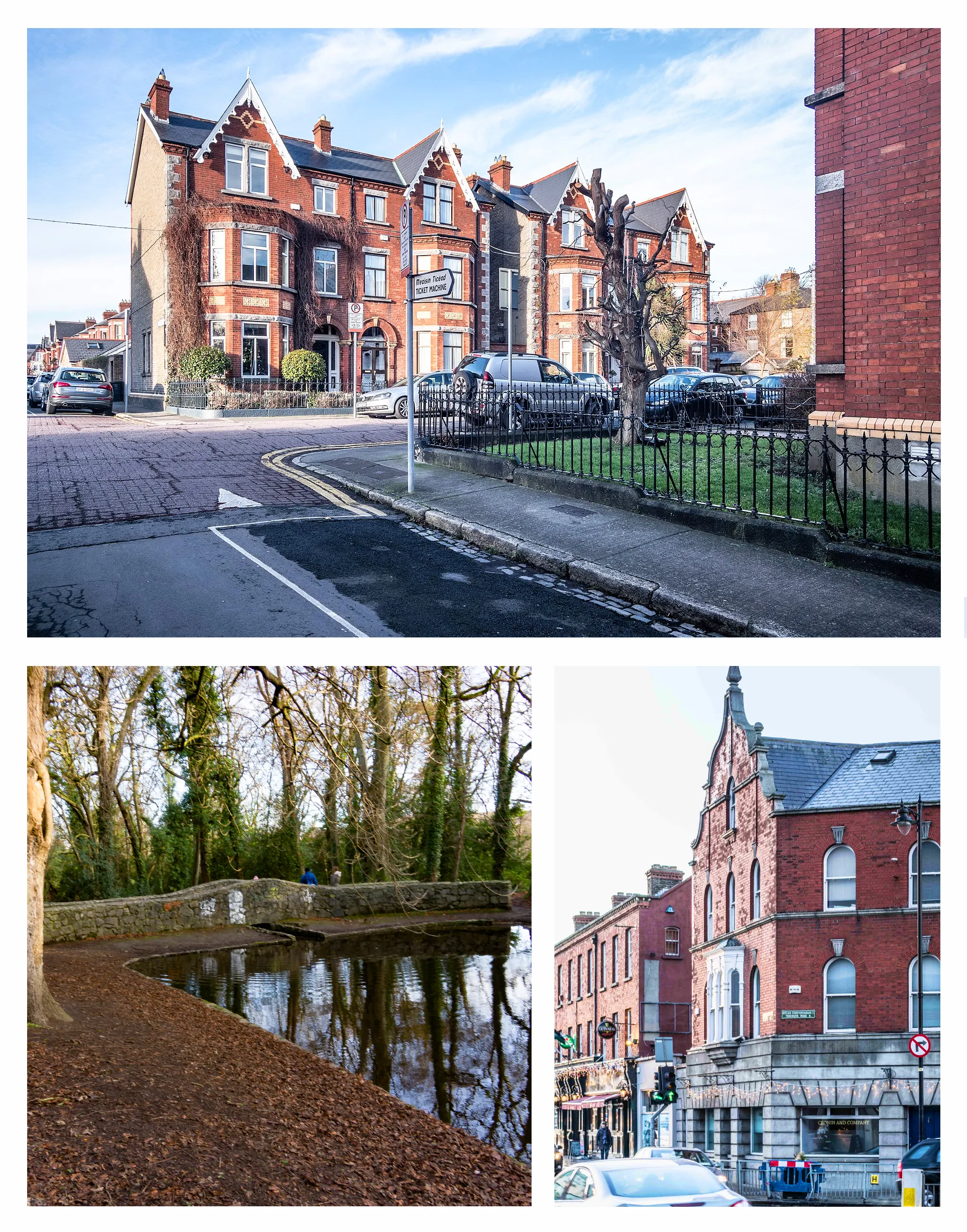
RathgarSub-urbRide through Rathgar, a charming suburb known for its beautiful Victorian architecture.
16 km
16 km
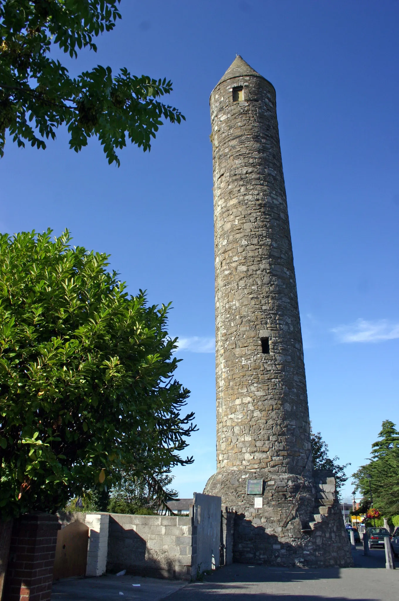
ClondalkinTownExplore Clondalkin, a historic village with an ancient round tower.
31 km
31 km
SaggartVillagePass by Saggart, a quaint village surrounded by stunning natural scenery.
44 km
44 km
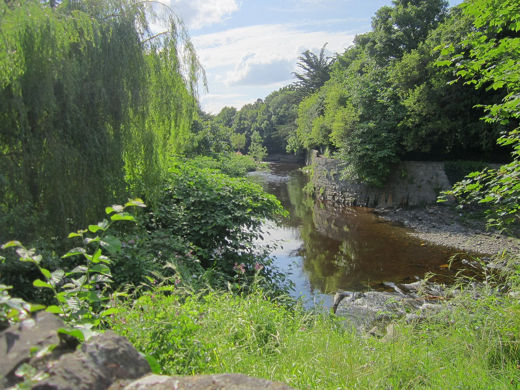
BallybodenVillageCycle through Ballyboden, known for its picturesque landscapes and panoramic views.
50 km
50 km
SandyfordVillageEnjoy the countryside scenery in Sandyford, a picturesque village nestled in the Dublin Mountains.
50 km
50 km
Finish: Sandyford Village centerBallinteer: Experience challenging climbs and diverse landscapes in Ballinteer.
Cycling routes nearby: