Glencullen Adventure Ride
A road cycling route starting from Ballinteer
Experience an exhilarating ride in Glencullen
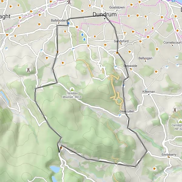
Map
Embark on an exhilarating cycling adventure in Glencullen. This route takes you through challenging terrain and offers breathtaking views of the surrounding mountains. Enjoy the thrill of twisting roads and conquer the ascent to Killakee Mountain for a truly unforgettable experience.
road
37 km
644 m
Savage
Route profile
Highlights on the route
0 km
0 km
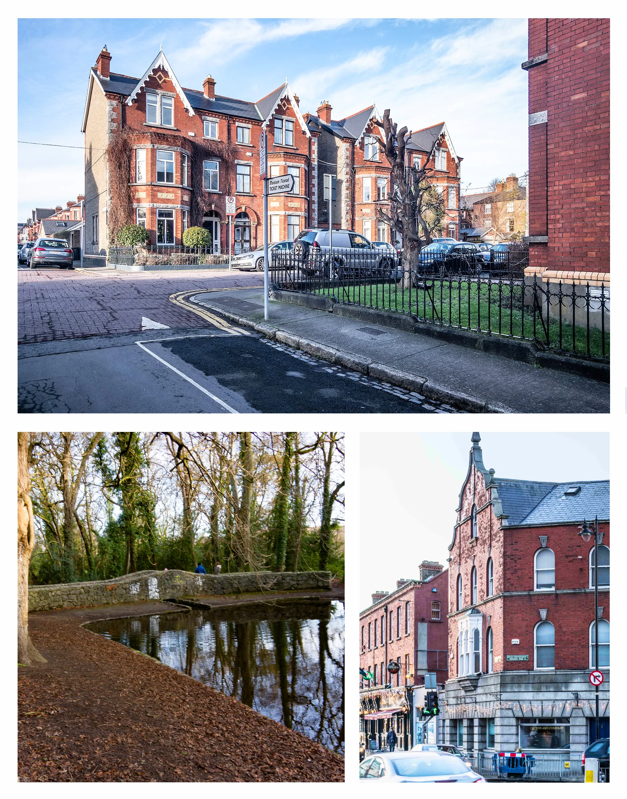
Start: Dundrum City centerBallinteer: Experience challenging climbs and diverse landscapes in Ballinteer.
Ballinteer, located in Eastern and Midland Ireland, offers a variety of cycling options for road and gravel cyclists. The area features both urban and countryside routes, giving cyclists the chance to explore diverse landscapes. Ballinteer is home to the well-known climb, Montpelier Hill, also known as the Hellfire Club. This challenging ascent is popular among cyclists looking for a demanding climb. As a cyclist, you can enjoy the scenic beauty of the area while tackling interesting routes. With its mix of urban and countryside routes, Ballinteer ranks at 4 for cyclists.8 km
8 km
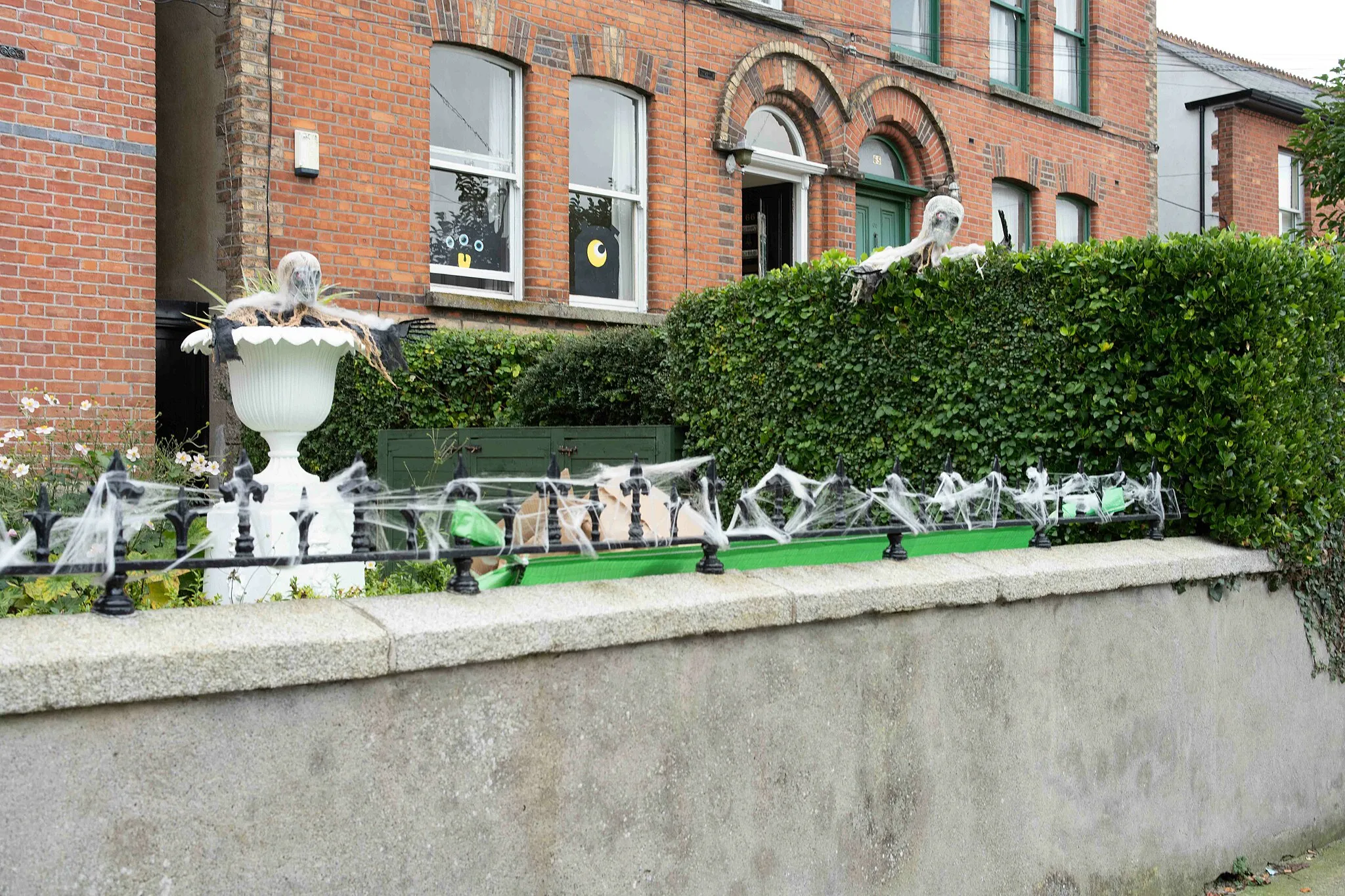
GlencullenVillageExplore Glencullen, a charming village situated in the stunning Dublin Mountains.
19 km
19 km
Glencree German War CemeteryAttractionVisit the Glencree German War Cemetery, a solemn memorial dedicated to German soldiers.
25 km
25 km
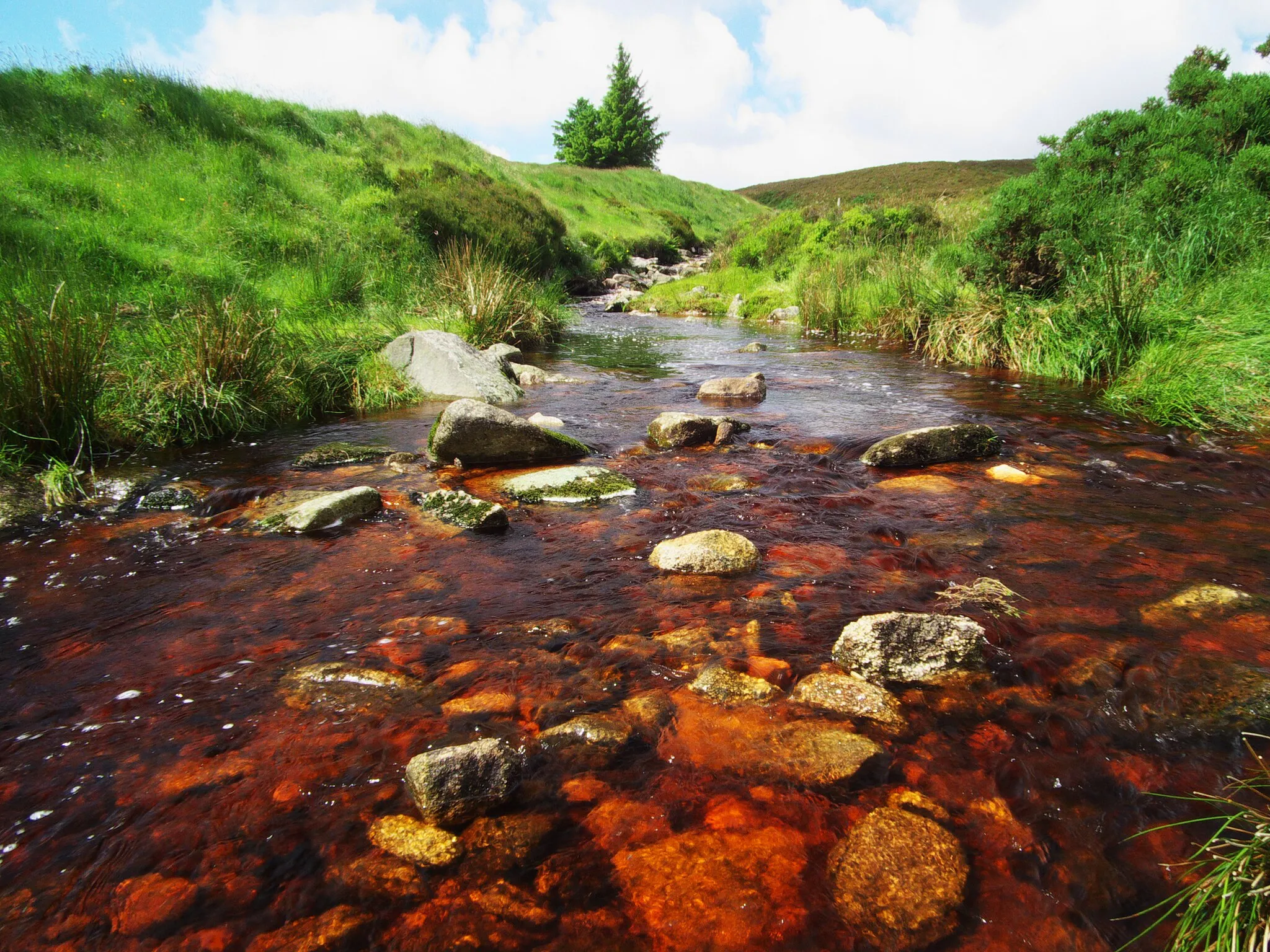
Killakee Mountain529 mPeakConquer the challenging ascent to Killakee Mountain and enjoy panoramic views from the top.
33 km
33 km
BallybodenVillageCycle through Ballyboden and appreciate the natural beauty of this picturesque area.
37 km
37 km
Finish: Dundrum City centerBallinteer: Experience challenging climbs and diverse landscapes in Ballinteer.
Cycling routes nearby: