Dublin Exploration Road Cycling
A road cycling route starting from Ballinteer
An extensive road cycling route for exploring the diverse landscapes of Dublin
Map
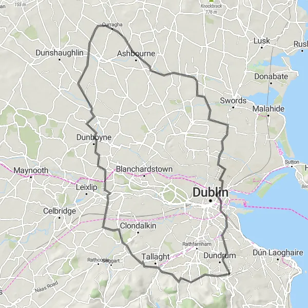
The Dublin Exploration Road Cycling route is perfect for experienced cyclists looking to discover the diverse landscapes of Dublin. With an ascent of 436 meters and a distance of 96 kilometers, this route takes you through charming villages, lush countryside, and historical landmarks. Starting near Ballinteer, the route winds its way through Lucan, Dunboyne, and Ashbourne, offering stunning views of the Dublin Mountains and the Valley of the River Liffey. Highlights along the route include the picturesque Lucan Village, Dunboyne Castle, and the serene Santry Demesne Park. This route is rated 3 out of 5 in difficulty and 4 out of 5 in epicness.
road
96 km
436 m
Tough
Route profile
Highlights on the route
0 km
0 km
Start: Sandyford Village centerBallinteer: Experience challenging climbs and diverse landscapes in Ballinteer.
Ballinteer, located in Eastern and Midland Ireland, offers a variety of cycling options for road and gravel cyclists. The area features both urban and countryside routes, giving cyclists the chance to explore diverse landscapes. Ballinteer is home to the well-known climb, Montpelier Hill, also known as the Hellfire Club. This challenging ascent is popular among cyclists looking for a demanding climb. As a cyclist, you can enjoy the scenic beauty of the area while tackling interesting routes. With its mix of urban and countryside routes, Ballinteer ranks at 4 for cyclists.2 km
2 km
BallinteerSub-urbThe route starts and ends near Ballinteer, providing easy access and a convenient starting point for cyclists.
25 km
25 km
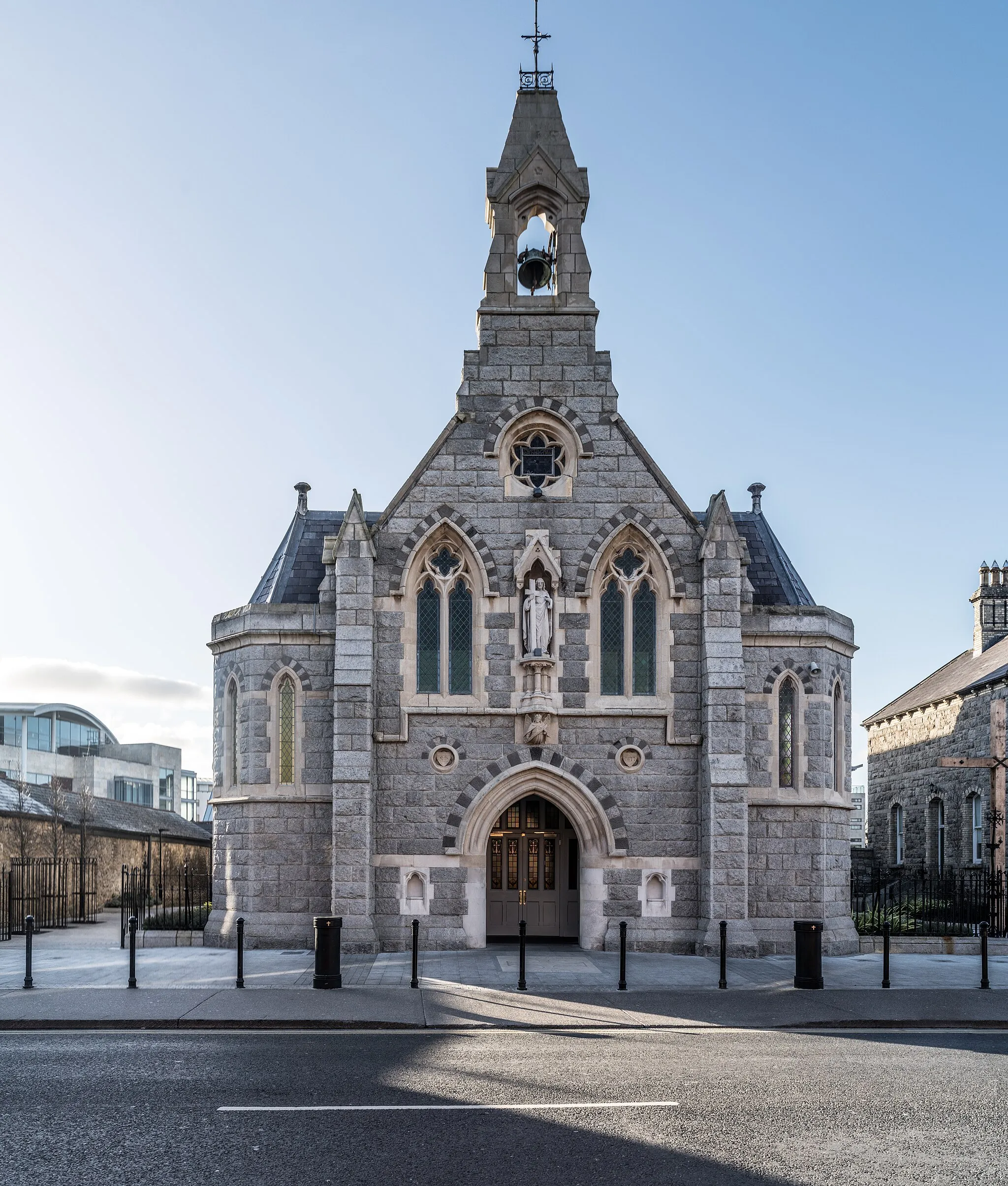
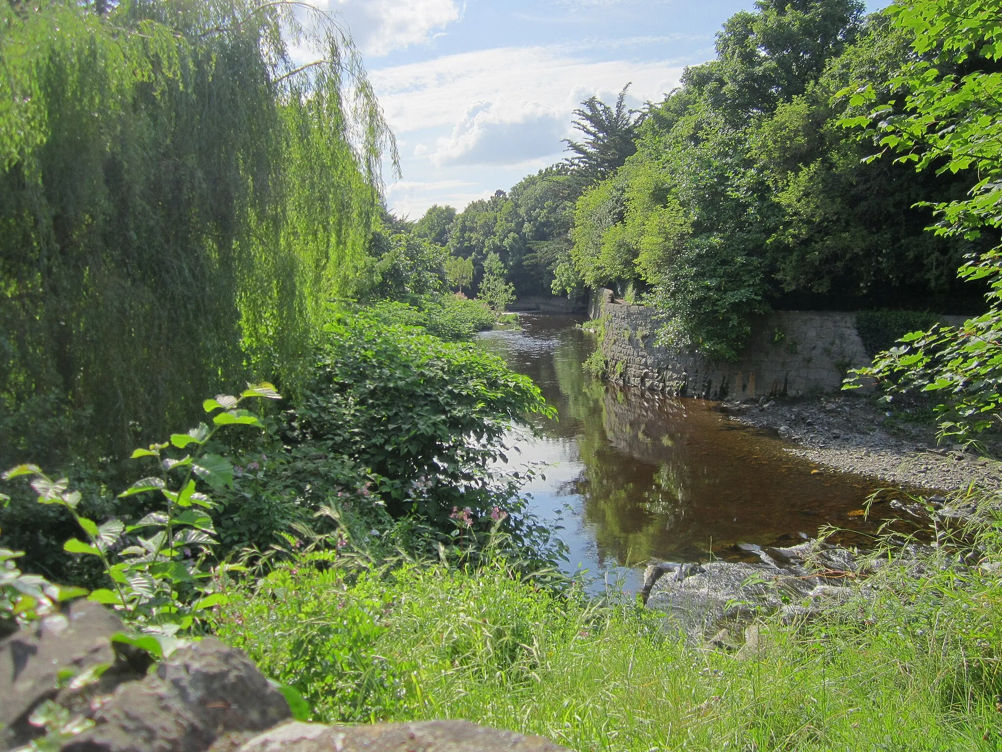
LucanTownLucan Village is a charming, historic village located along the banks of the River Liffey, offering plenty of amenities for cyclists.
34 km
34 km
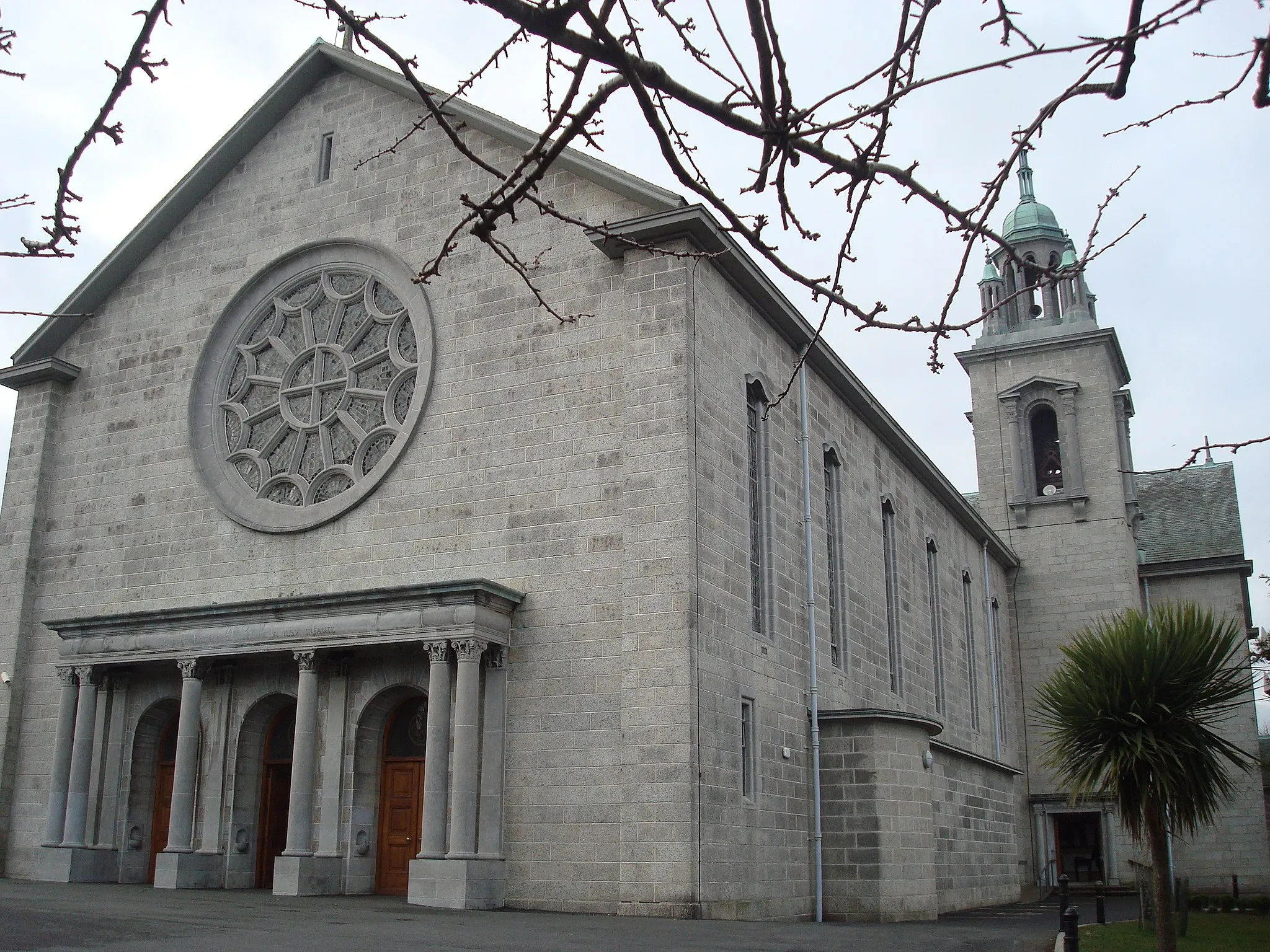
DunboyneTownVisit Dunboyne Castle, a well-preserved 18th-century castle with stunning grounds and a rich history.
57 km
57 km
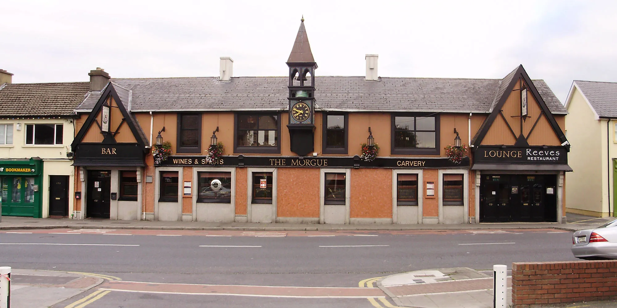
AshbourneTownAshbourne is a bustling town with a charming town center and a variety of shops, cafes, and restaurants.
79 km
79 km
SantrySub-urbSantry Demesne Park is a tranquil green oasis in the heart of Dublin, perfect for a relaxing break or a leisurely stroll.
91 km
91 km
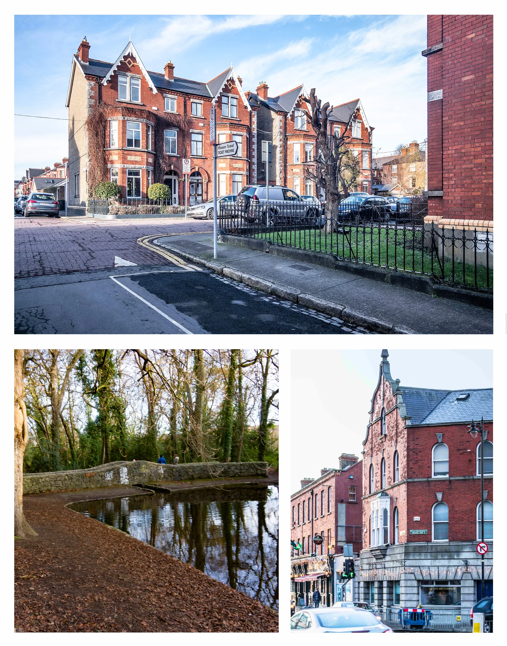
ClonskeaghSub-urbClonskeagh is a vibrant suburb of Dublin, known for its beautiful gardens, quaint streets, and friendly atmosphere.
96 km
96 km
Finish: Sandyford Village centerBallinteer: Experience challenging climbs and diverse landscapes in Ballinteer.
Cycling routes nearby: