Wicklow Mountains Loop
A road cycling route starting from Rathnew
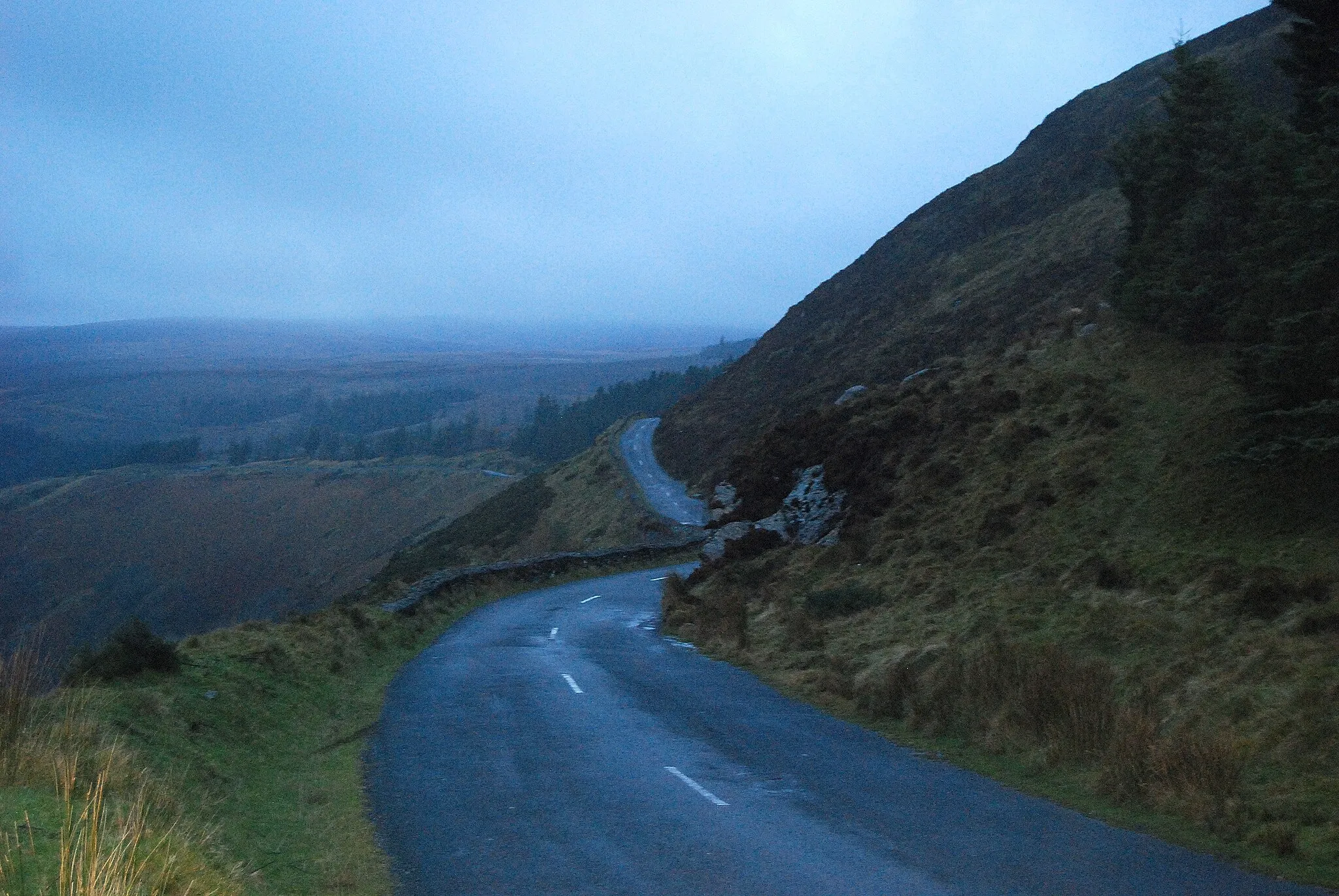
Cycling through picturesque Wicklow Mountains
Map
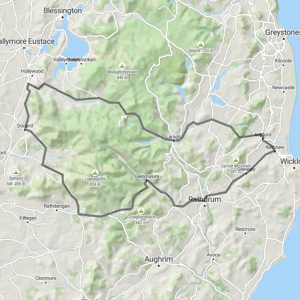
Embark on a challenging journey through the beautiful Wicklow Mountains. With a total distance of 106 km and an ascent of 1622 meters, this road cycling route takes you on a scenic adventure. You'll encounter breathtaking views of Rathdrum, Carrickashane Mountain, Aghavannagh, Toorboy Mountain, Slievecorragh, Glendalough, Ballinacorbeg, and Ashford.
road
106 km
1622 m
Tough
Route profile
Highlights on the route
0 km
0 km
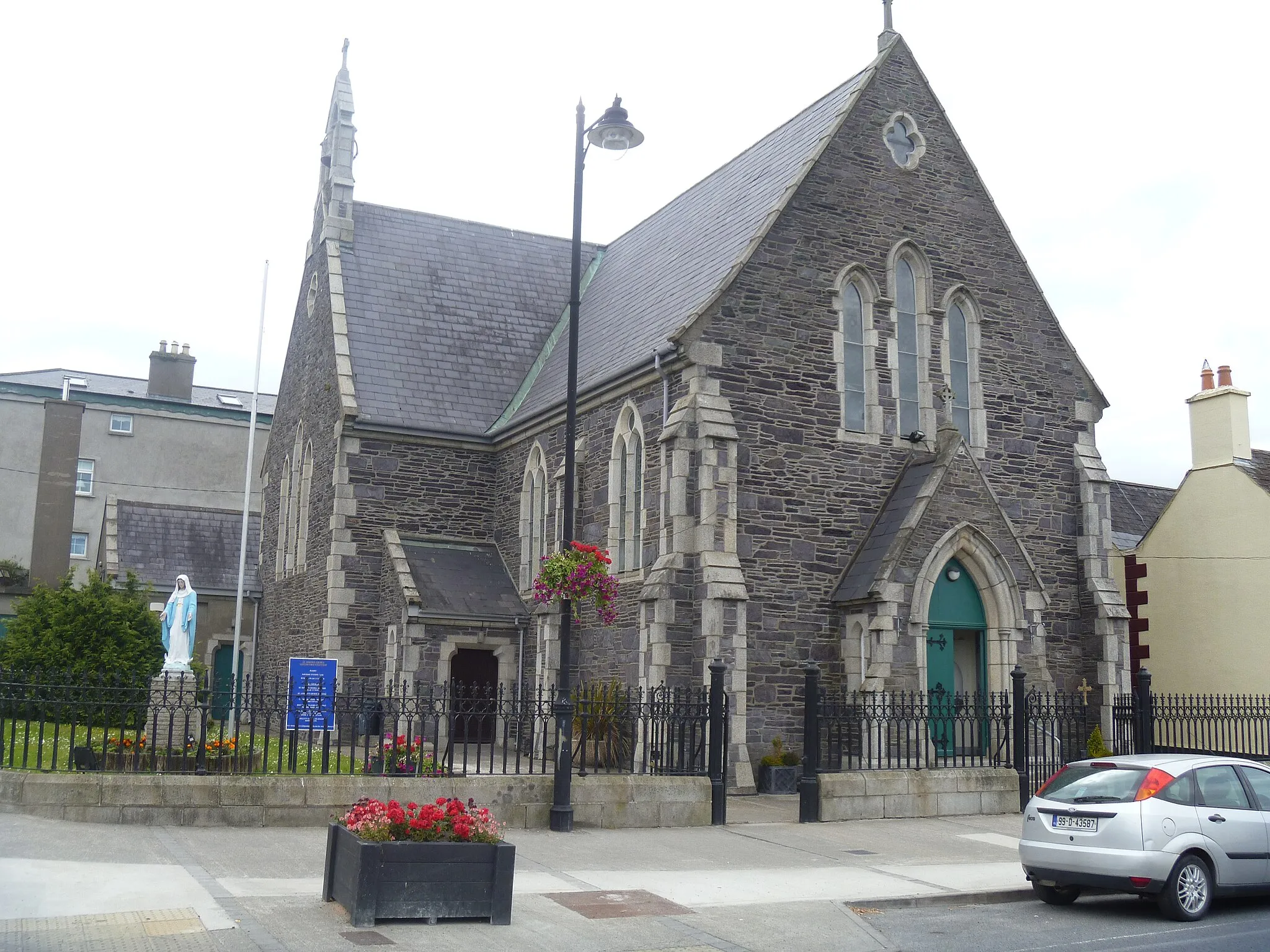
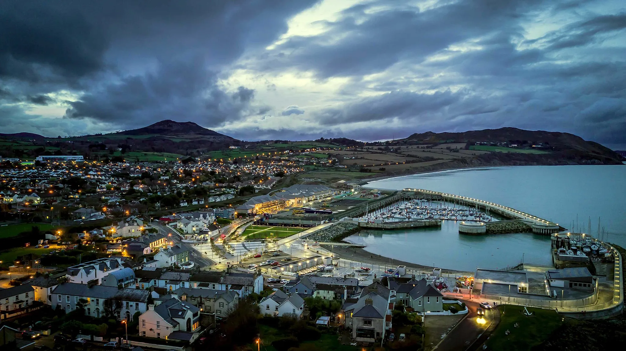
Start: Rathnew Village centerRathnew: Gateway to Wicklow's Cycling Paradise
Rathnew is a town situated in the Eastern and Midland region of Ireland. From a cyclist's perspective, Rathnew provides access to various cycling routes suitable for both leisurely rides and challenging climbs. If you're looking for a well-known climb nearby, the Wicklow Gap is close by and offers stunning views as you conquer its challenging ascent. With its proximity to the Wicklow Mountains, Rathnew is an excellent base for cycling enthusiasts who enjoy exploring scenic landscapes and tackling demanding climbs.13 km
13 km
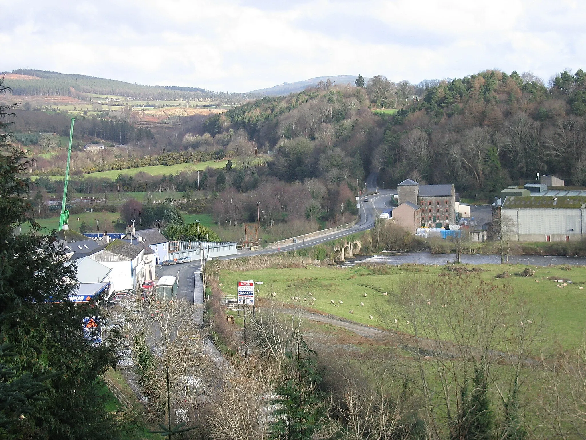
RathdrumTownMake a stop in Rathdrum, a charming town known for its historic railway station.
30 km
30 km
Carrickashane Mountain508 mPeakCarrickashane Mountain offers stunning panoramic views of the surrounding countryside.
31 km
31 km
AghavannaghHamletAghavannagh, a picturesque village nestled in the Wicklow Mountains, is worth a visit.
40 km
40 km
Toorboy Mountain394 mPeakConquer the challenging ascent to Toorboy Mountain and witness its majestic beauty.
63 km
63 km
Slievecorragh418 mPeakSlievecorragh is a popular destination for hikers and cyclists, offering rewarding views.
85 km
85 km
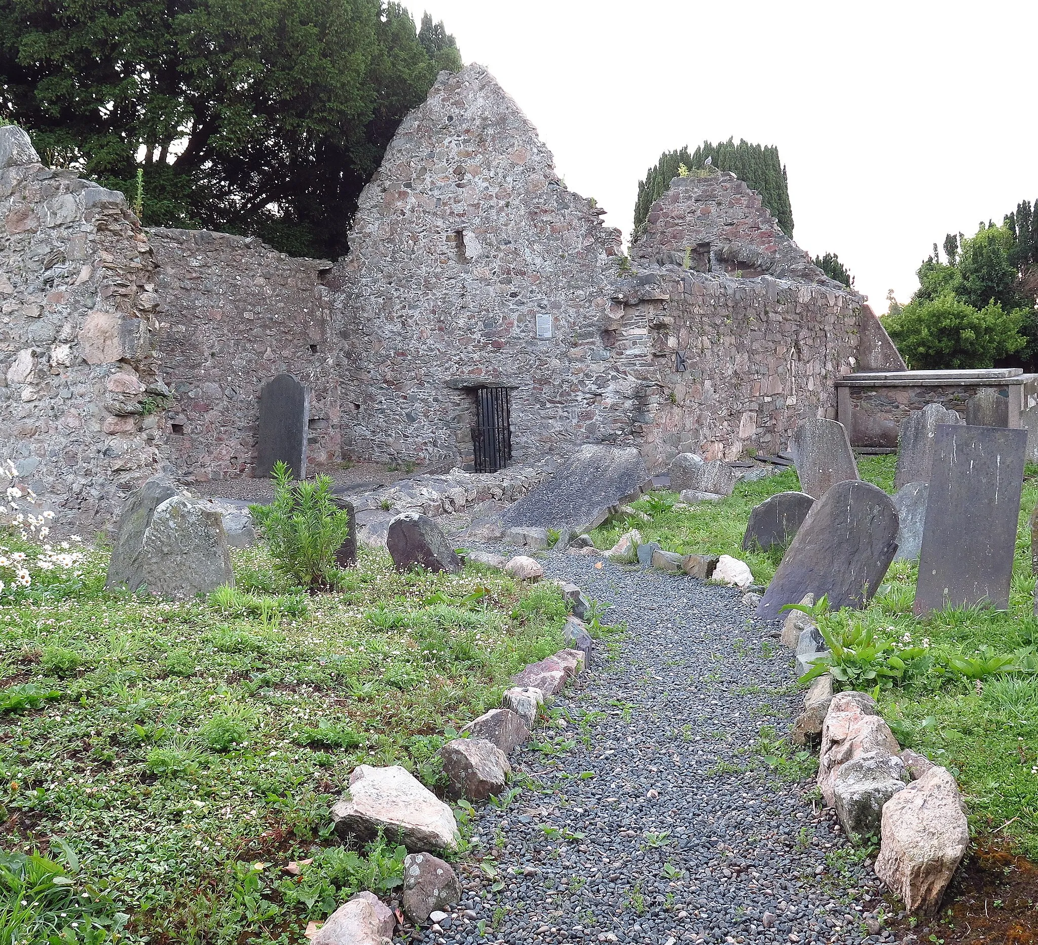
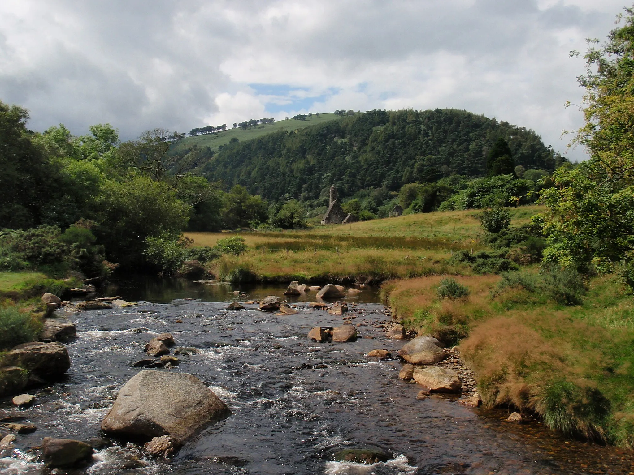
GlendaloughAttractionExplore the stunning Glendalough, an ancient monastic settlement surrounded by beautiful scenery.
93 km
93 km
Ballinacorbeg336 mPeakBallinacorbeg is a small village with a rich history, situated in the heart of the Wicklow Mountains.
103 km
103 km
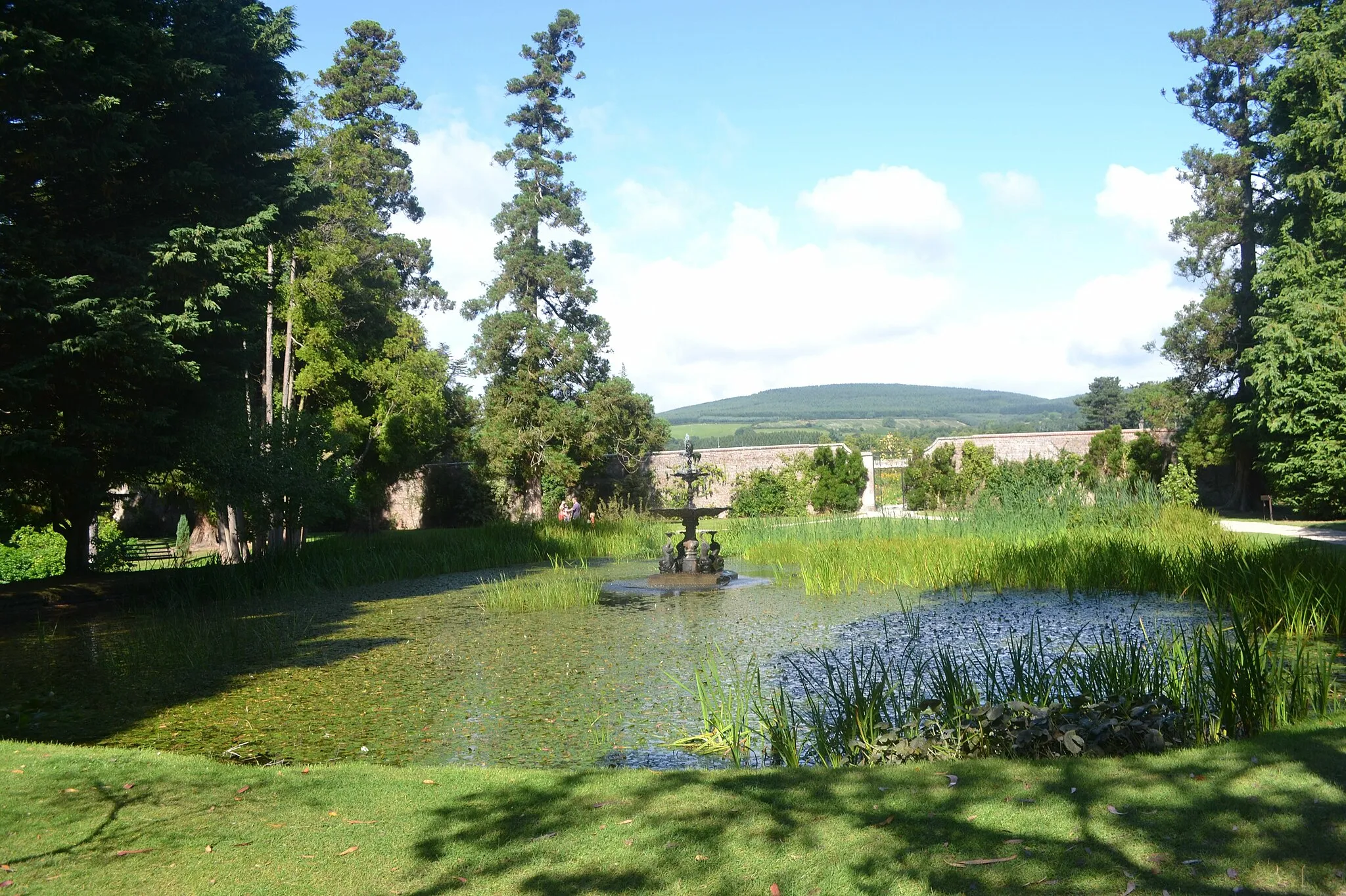
AshfordVillageFinish your journey in Ashford, a vibrant town known for its beautiful gardens and traditional Irish music.
106 km
106 km
Finish: Rathnew Village centerRathnew: Gateway to Wicklow's Cycling Paradise
Cycling routes nearby: