The Ballaghaderreen Loop
A road cycling route starting from Boyle
Pedal through scenic landscapes and charming villages
Map
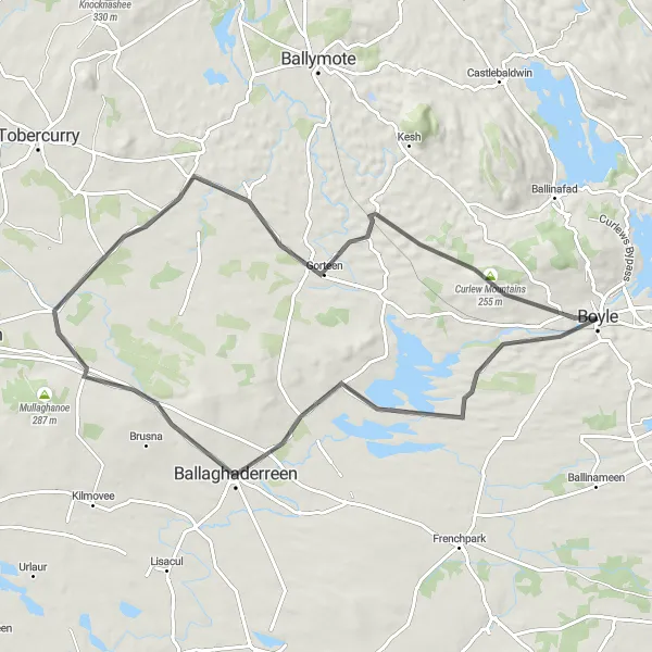
The Ballaghaderreen Loop is a scenic round-trip cycling route starting near Boyle. Covering a distance of 72 kilometers with an ascent of 349 meters, this road route takes you through picturesque countryside and charming villages. It offers a delightful combination of natural beauty and cultural attractions.
road
72 km
349 m
Tough
Route profile
Highlights on the route
0 km
0 km
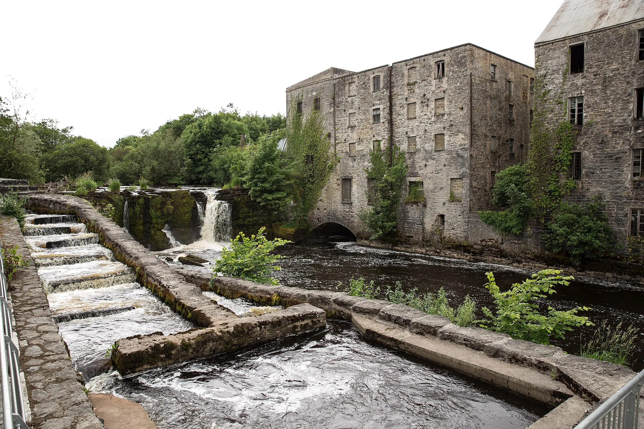
Start: Boyle City centerBoyle: Tranquil Cycling amidst Scenic Landscapes
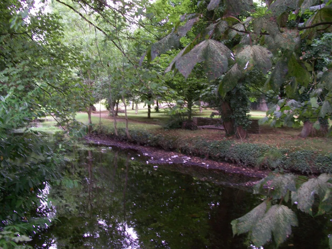
Boyle, part of the Northern and Western region of Ireland, provides cyclists with a tranquil setting amidst scenic landscapes. The town offers a range of road and gravel routes, suitable for cyclists looking for a peaceful ride. Boyle is in close proximity to the remarkable hilly region of Lough Key Forest Park, offering cyclists the chance to explore its numerous trails and climbs. With its serene atmosphere and access to natural beauty, Boyle obtains a rank of 4 out of 5 for cyclists.23 km
23 km
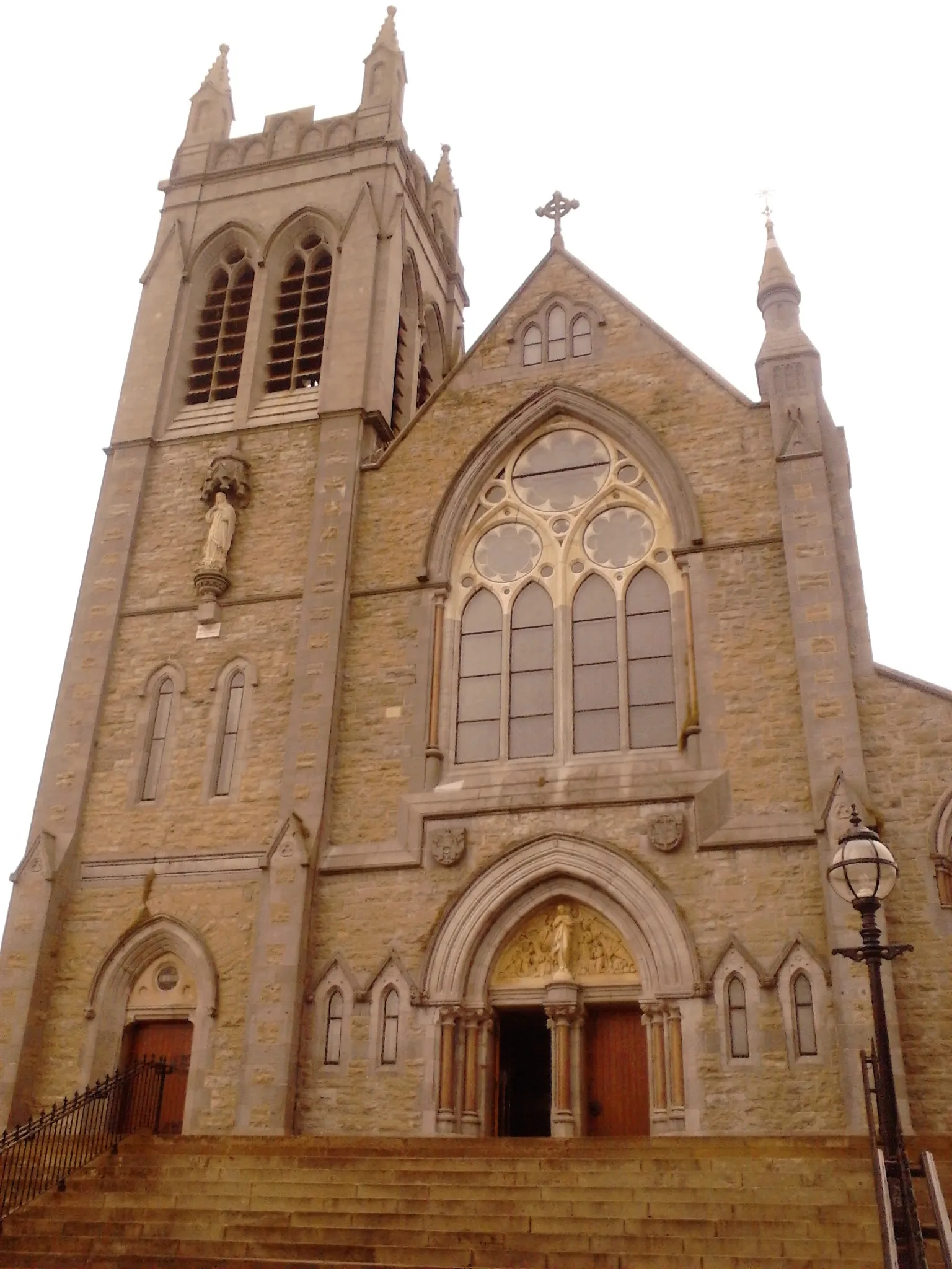
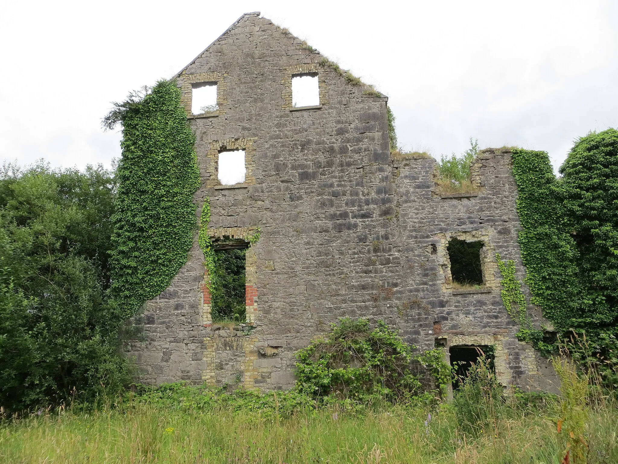
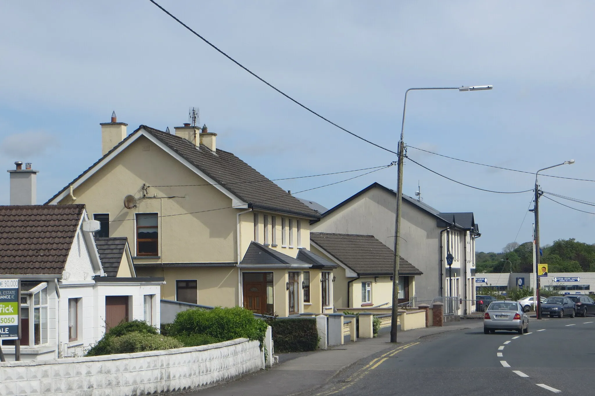
BallaghaderreenTownStop by Ballaghaderreen, known for its architectural landmarks and traditional Irish pubs.
55 km
55 km
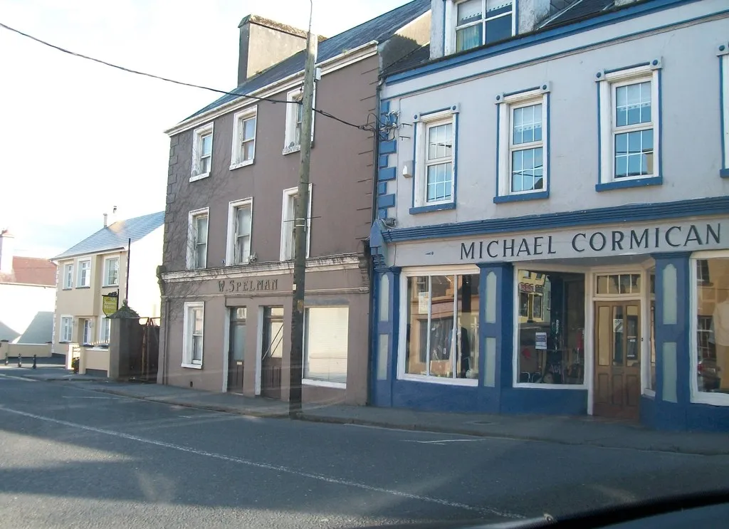
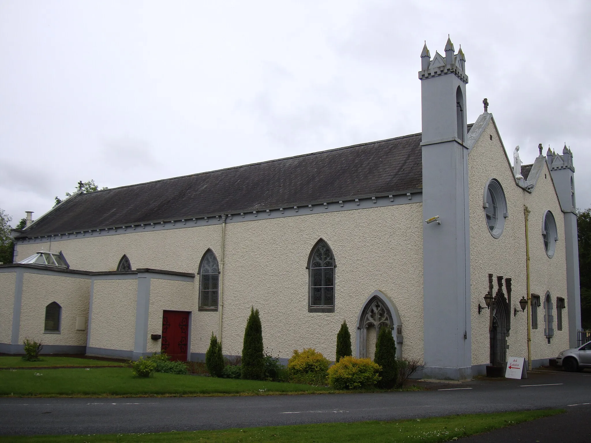
GorteenVillageGorteen is a quaint village with scenic countryside views and friendly locals.
66 km
66 km
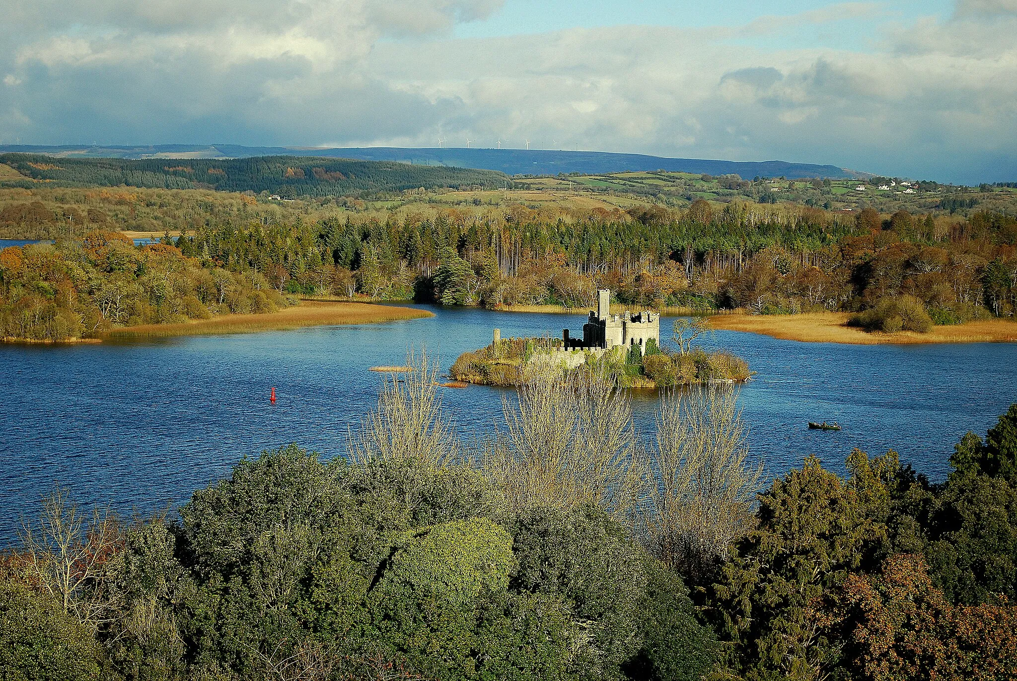
Curlew Mountains255 mPeakRide through the Curlew Mountains, a stunning range known for its rich biodiversity.
73 km
73 km
BoyleTownBoyle is a historic town with a beautiful waterfront and iconic landmarks like the King House.
72 km
72 km
Finish: Boyle City centerBoyle: Tranquil Cycling amidst Scenic Landscapes
Cycling routes nearby: