The Curlew Mountains Ride
A road cycling route starting from Boyle
Conquer challenging climbs and soak in breathtaking views
Map
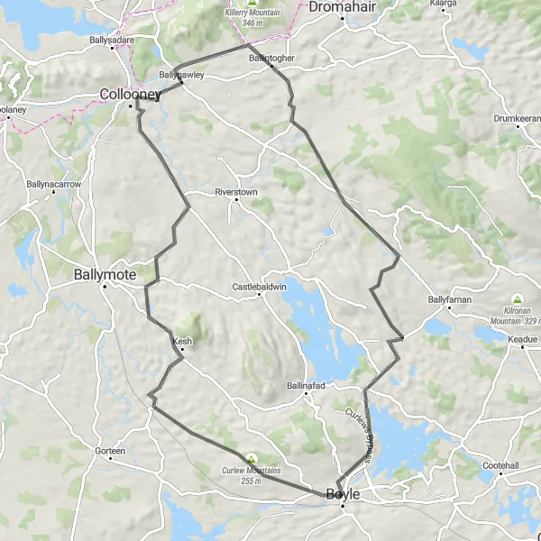
Embark on the Curlew Mountains Ride, an exhilarating 80-kilometer road cycling route starting near Boyle. With an ascent of 620 meters, this challenging route takes you through the majestic Curlew Mountains, offering stunning vistas at every turn. Prepare to be amazed by the rugged beauty of this route.
road
80 km
620 m
Savage
Route profile
Highlights on the route
0 km
0 km
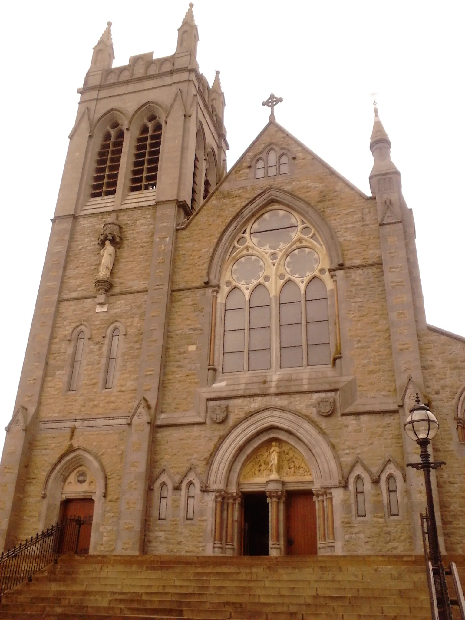
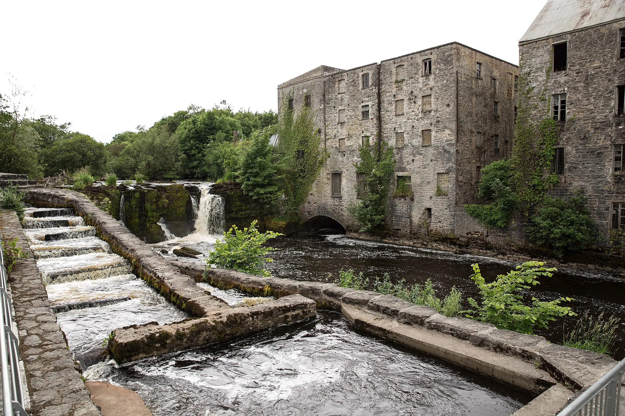
Start: Boyle City centerBoyle: Tranquil Cycling amidst Scenic Landscapes
Boyle, part of the Northern and Western region of Ireland, provides cyclists with a tranquil setting amidst scenic landscapes. The town offers a range of road and gravel routes, suitable for cyclists looking for a peaceful ride. Boyle is in close proximity to the remarkable hilly region of Lough Key Forest Park, offering cyclists the chance to explore its numerous trails and climbs. With its serene atmosphere and access to natural beauty, Boyle obtains a rank of 4 out of 5 for cyclists.6 km
6 km
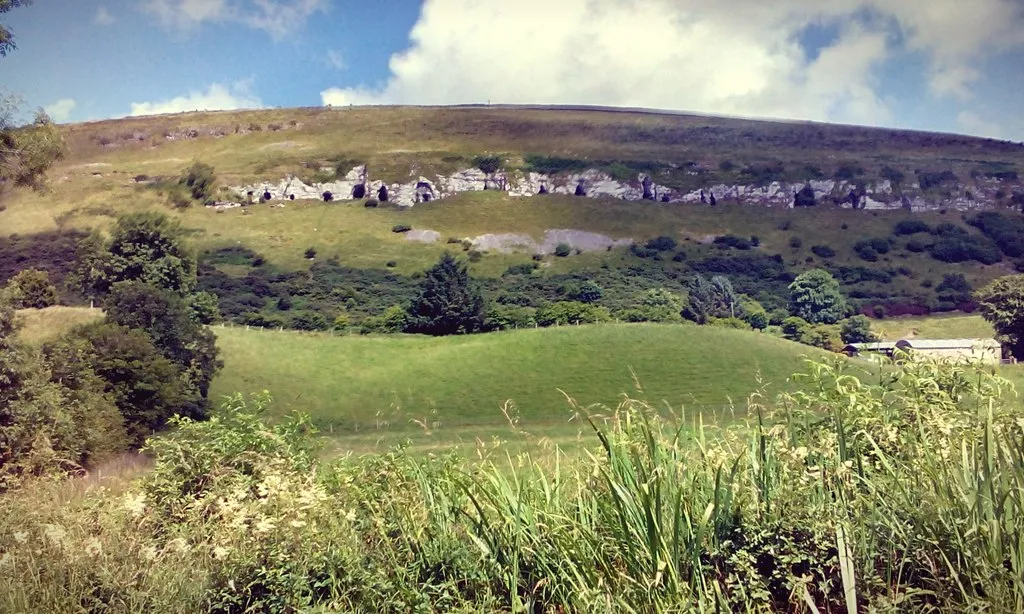
Curlew Mountains255 mPeakCycling through the Curlew Mountains provides an awe-inspiring experience, with steep crags and tranquil valleys.
17 km
17 km
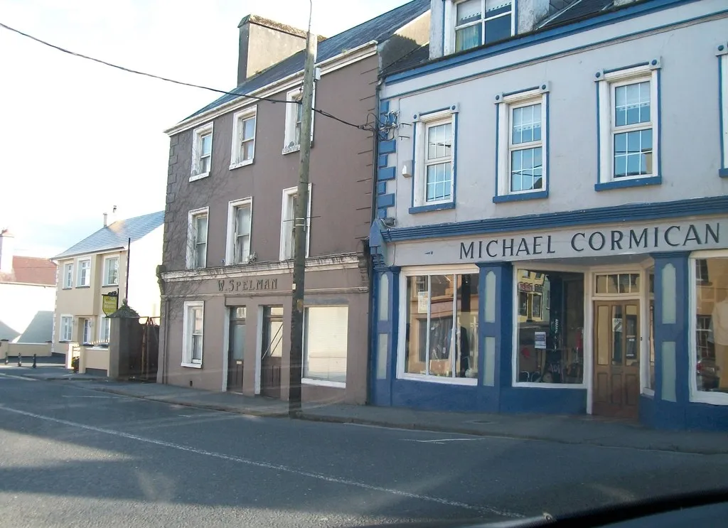
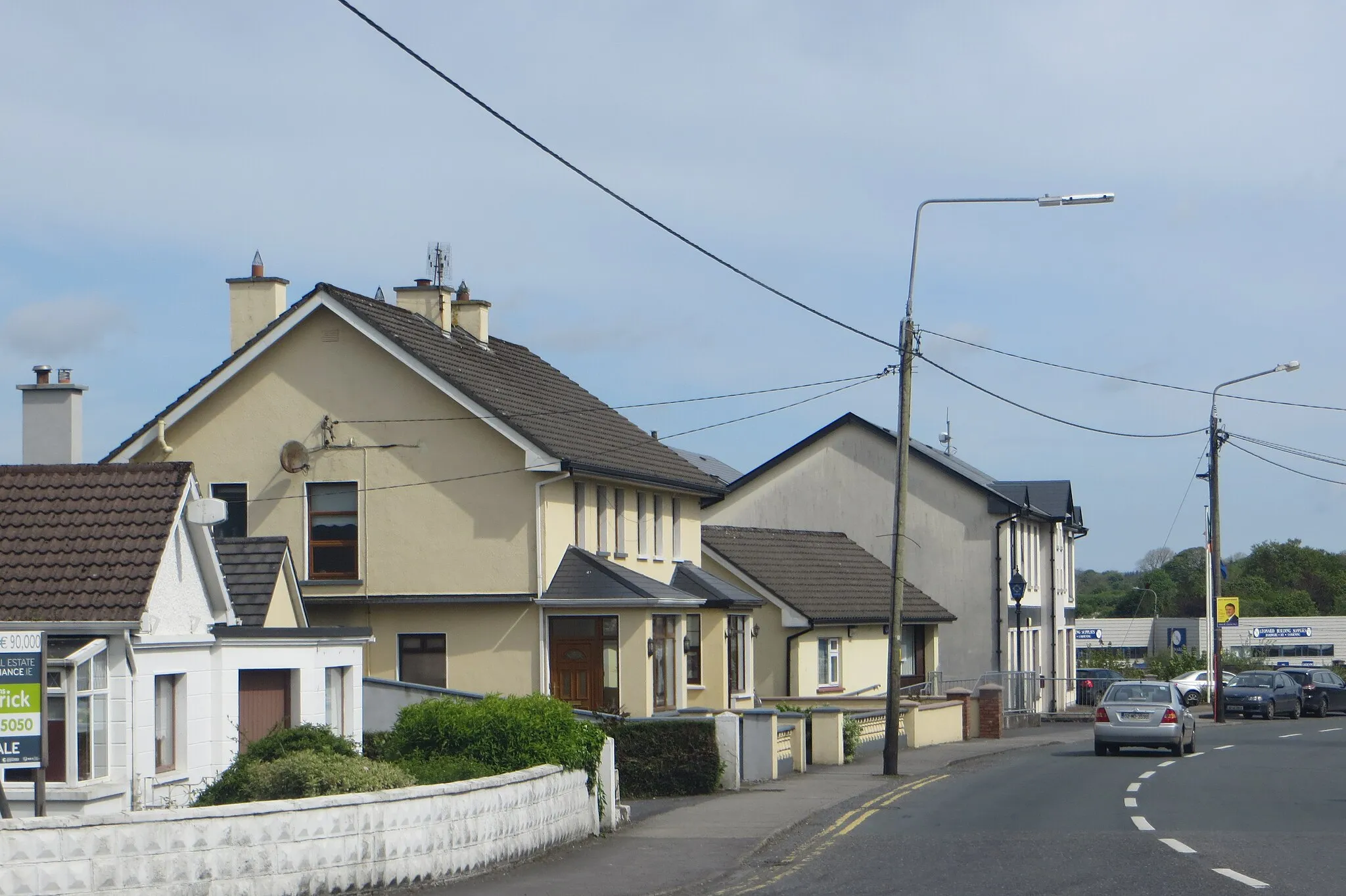
KeshVillageKesh, a small village nestled in the mountains, offers stunning views and a sense of tranquility.
37 km
37 km
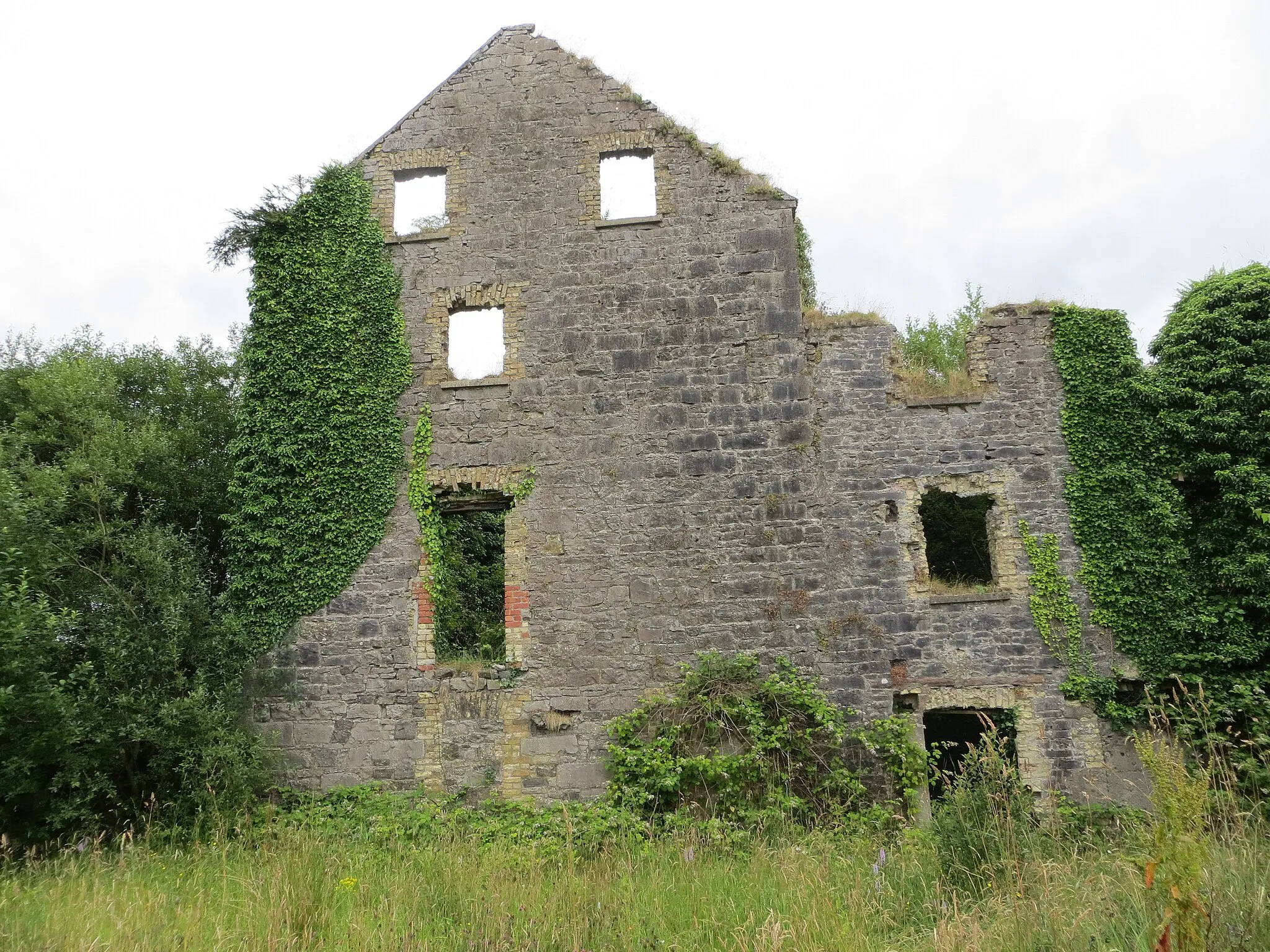
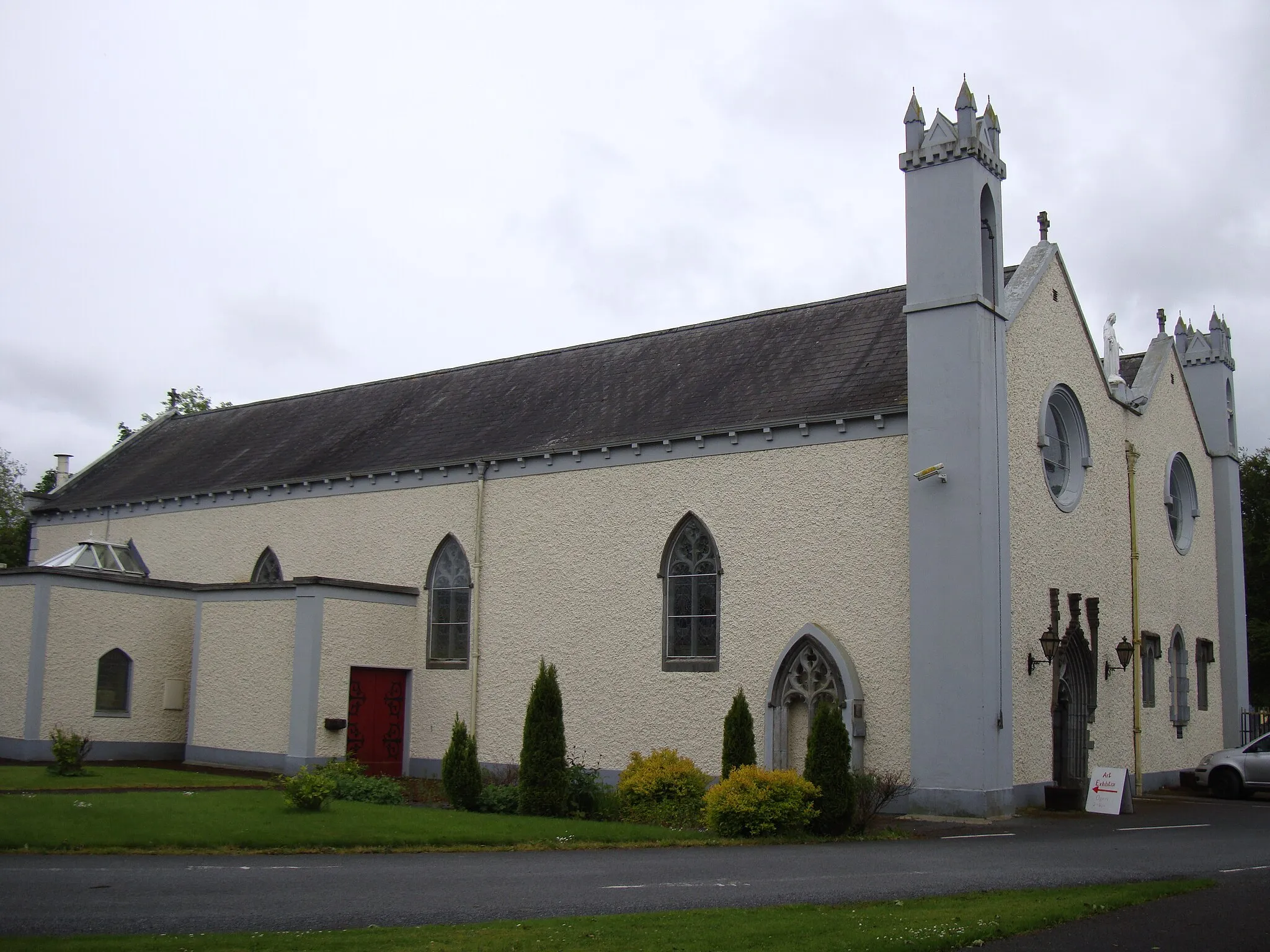
Markree CastleCastleMarkree Castle, a magnificent Gothic-style castle, stands proudly amidst beautiful parkland.
73 km
73 km
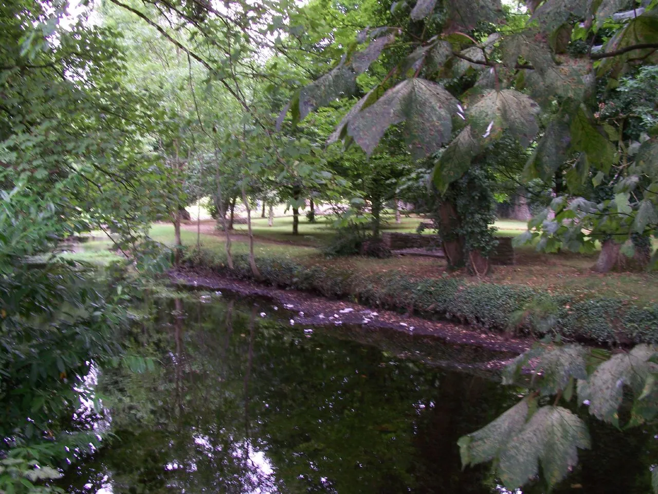
Lough KeyLakeLough Key, located within the historic Lough Key Forest and Parkland, offers serene waters and lovely picnic spots.
80 km
80 km
BoyleTownBoyle serves as both the start and finish point of this route, allowing cyclists to explore its charming streets and soak in breathtaking landscapes.
80 km
80 km
Finish: Boyle City centerBoyle: Tranquil Cycling amidst Scenic Landscapes
Cycling routes nearby: