The Bunclody to Camolin Loop
A road cycling route starting from Bunclody
Experience the stunning landscapes of Southern Ireland on this road cycling route from Bunclody to Camolin.
Map
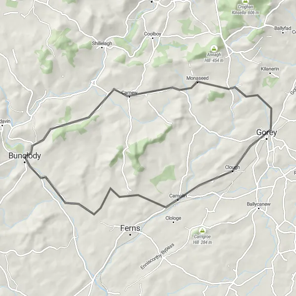
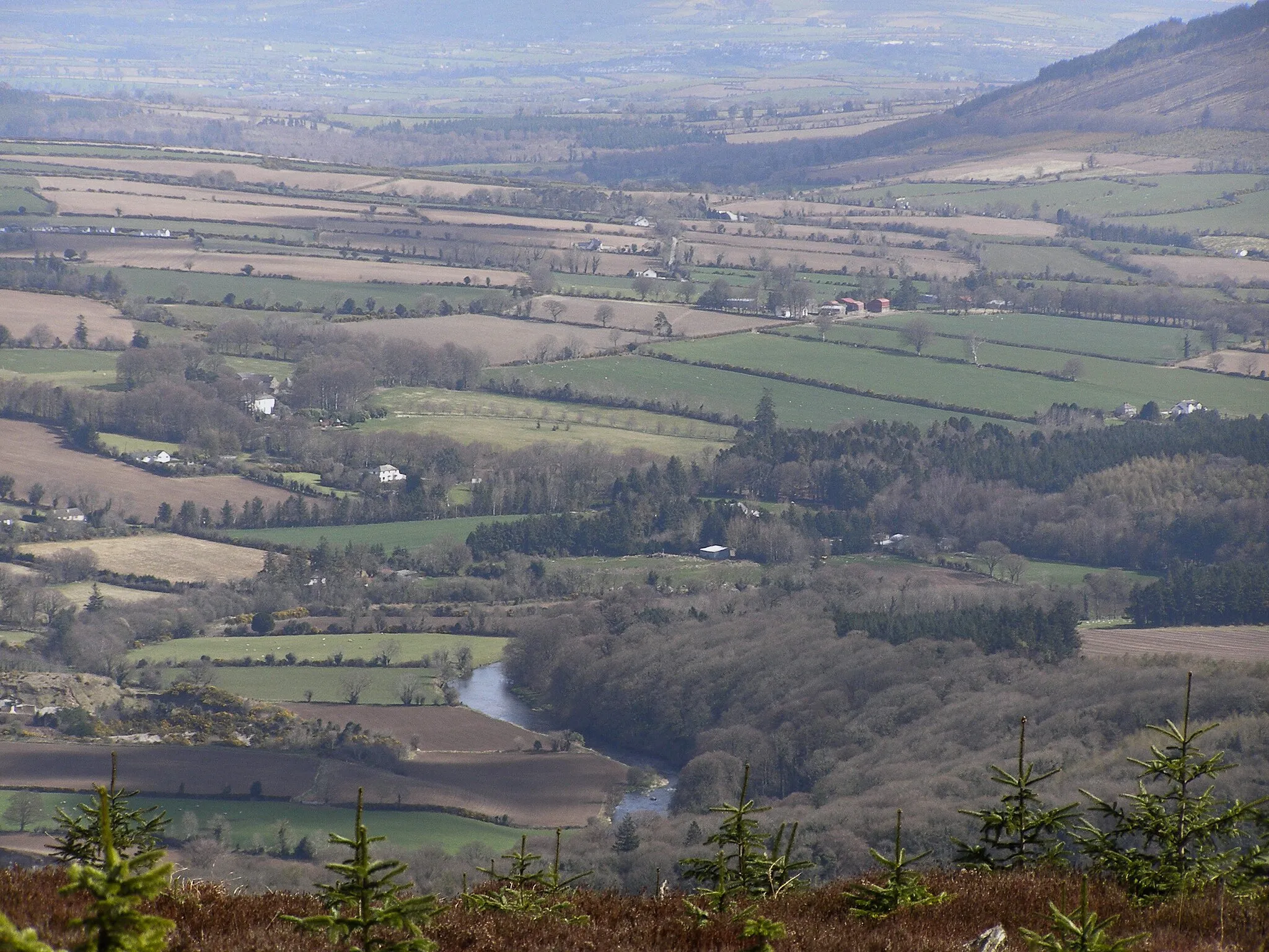
Embark on a scenic road cycling adventure from Bunclody to Camolin, taking in the picturesque countryside and charming villages along the way. This 65-kilometer route offers a moderate challenge with a total ascent of 584 meters. Highlights of the journey include Gibbet Hill, a prominent landmark offering breathtaking views, and Milshoge Rock, a geological wonder that dates back millions of years. With a difficulty rating of 3 and an epicness score of 3, this route is perfect for well-trained amateur cyclists looking for a memorable ride through stunning Irish landscapes.
road
65 km
584 m
Tough
Route profile
Highlights on the route
0 km
0 km
Start: Bunclody City centerBunclody: Tranquil and scenic cycling in Bunclody, Ireland.
Bunclody is situated in the Southern region of Ireland. It offers a mix of country lanes and rural cycling routes. Road cyclists can enjoy the peaceful roads with beautiful views of the countryside. Gravel cyclists can explore the off-road trails and paths in the surrounding area. Bunclody is a great destination for cyclists seeking a quiet and picturesque setting. Nearby, there is the Mount Leinster climb, a well-known challenge for experienced riders.0 km
0 km
BunclodyTownLocated in Bunclody, the starting point of the route, this charming town offers a glimpse into the local Irish culture with its traditional architecture and friendly atmosphere.
4 km
4 km
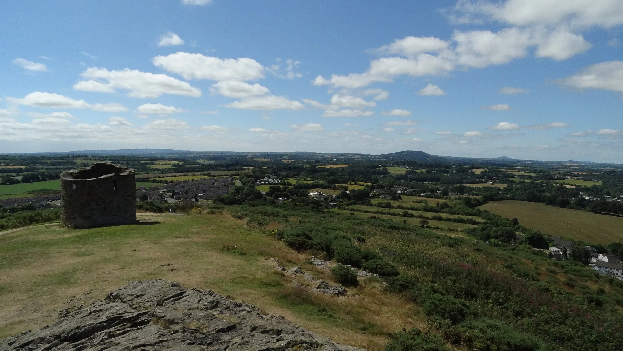
Gibbet Hill315 mPeakGibbet Hill, located along the route, provides mesmerizing panoramic views of the surrounding landscape, making it a perfect spot for a photo opportunity.
13 km
13 km
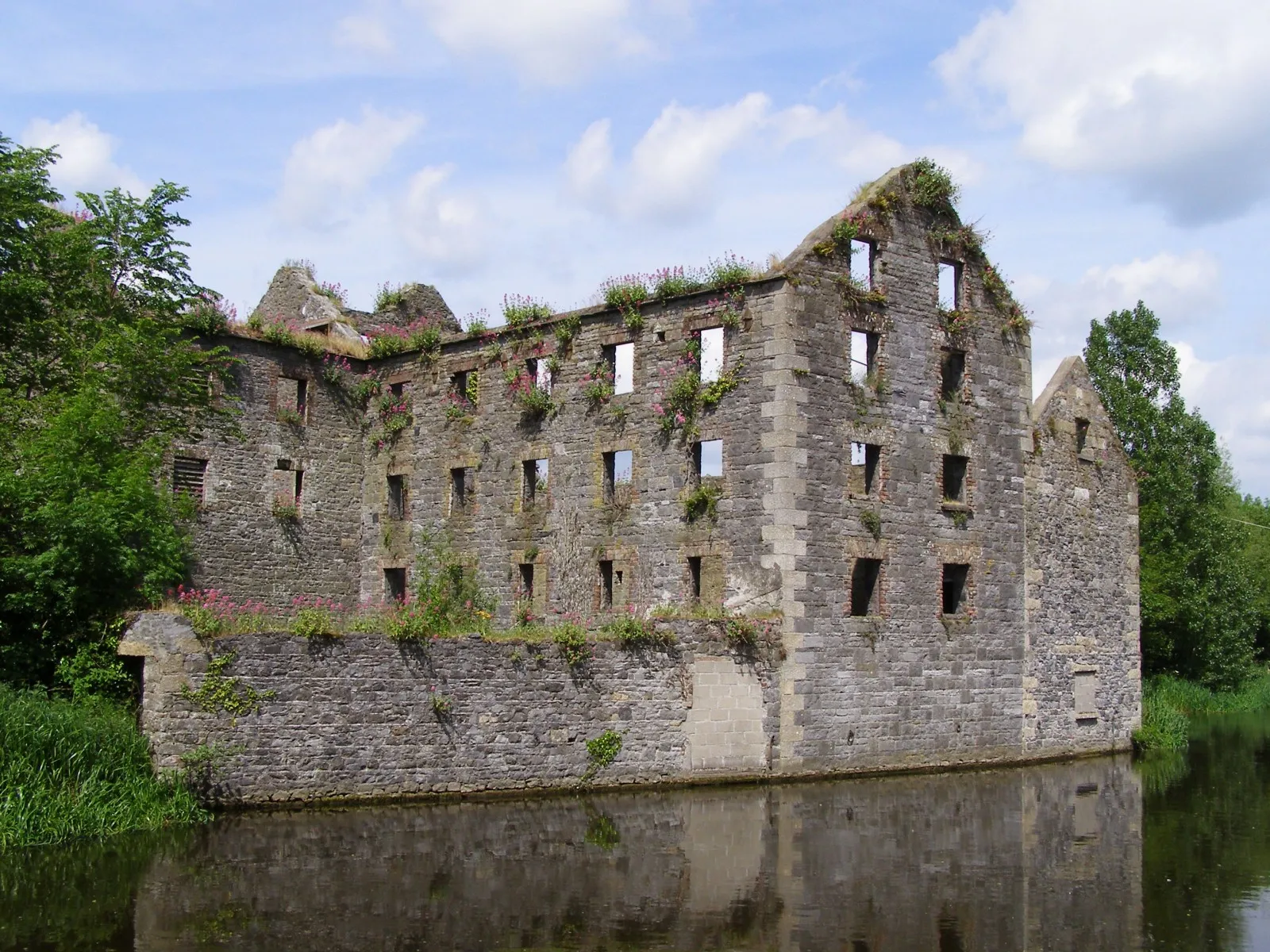
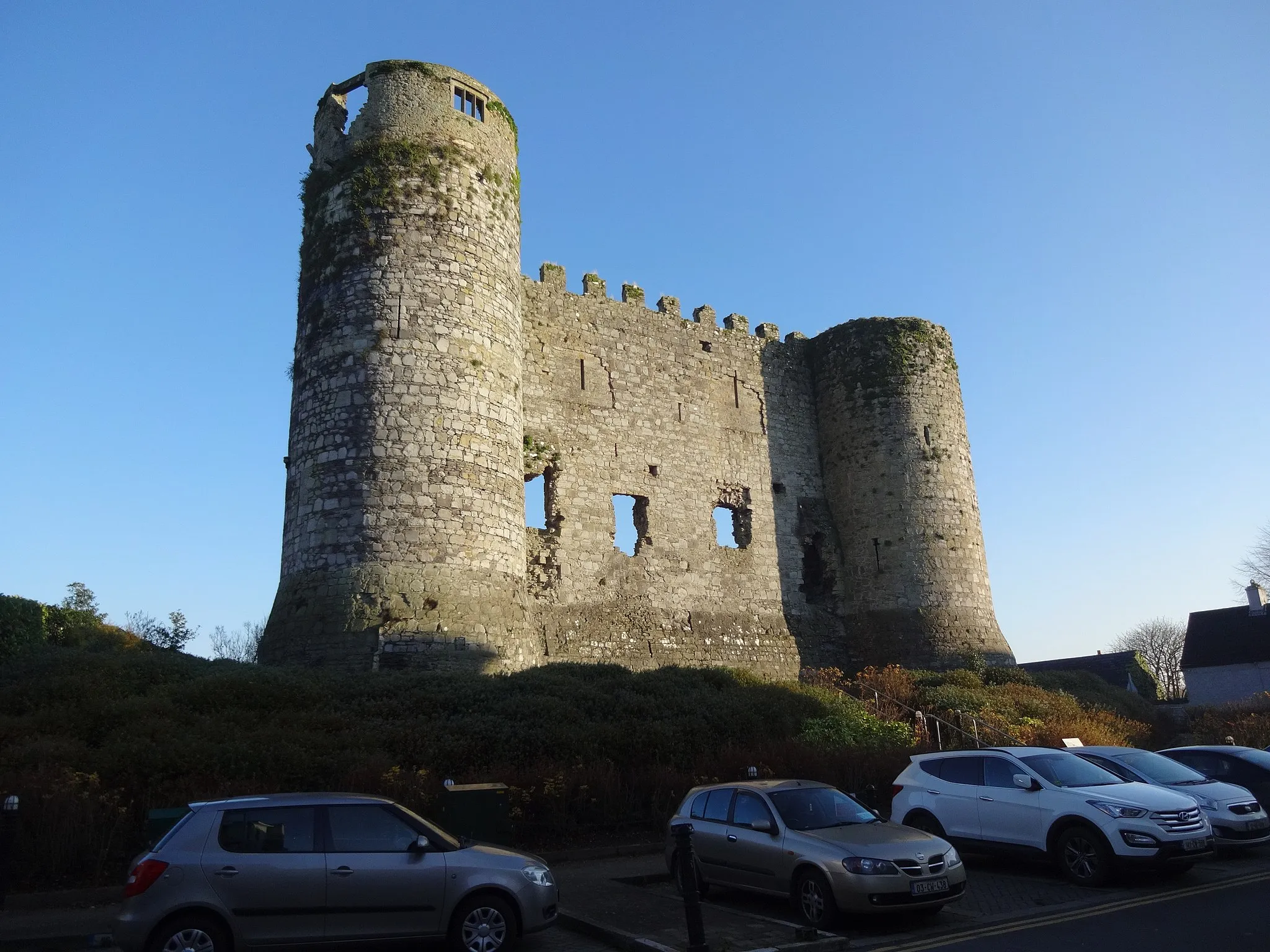
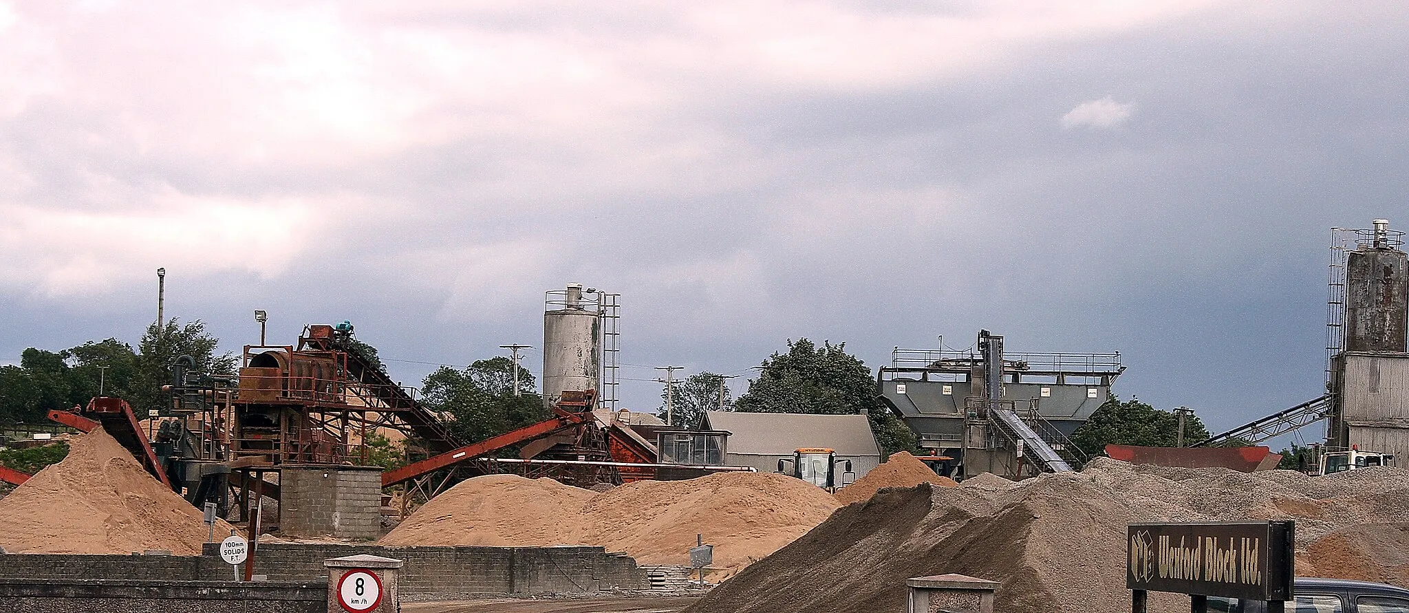
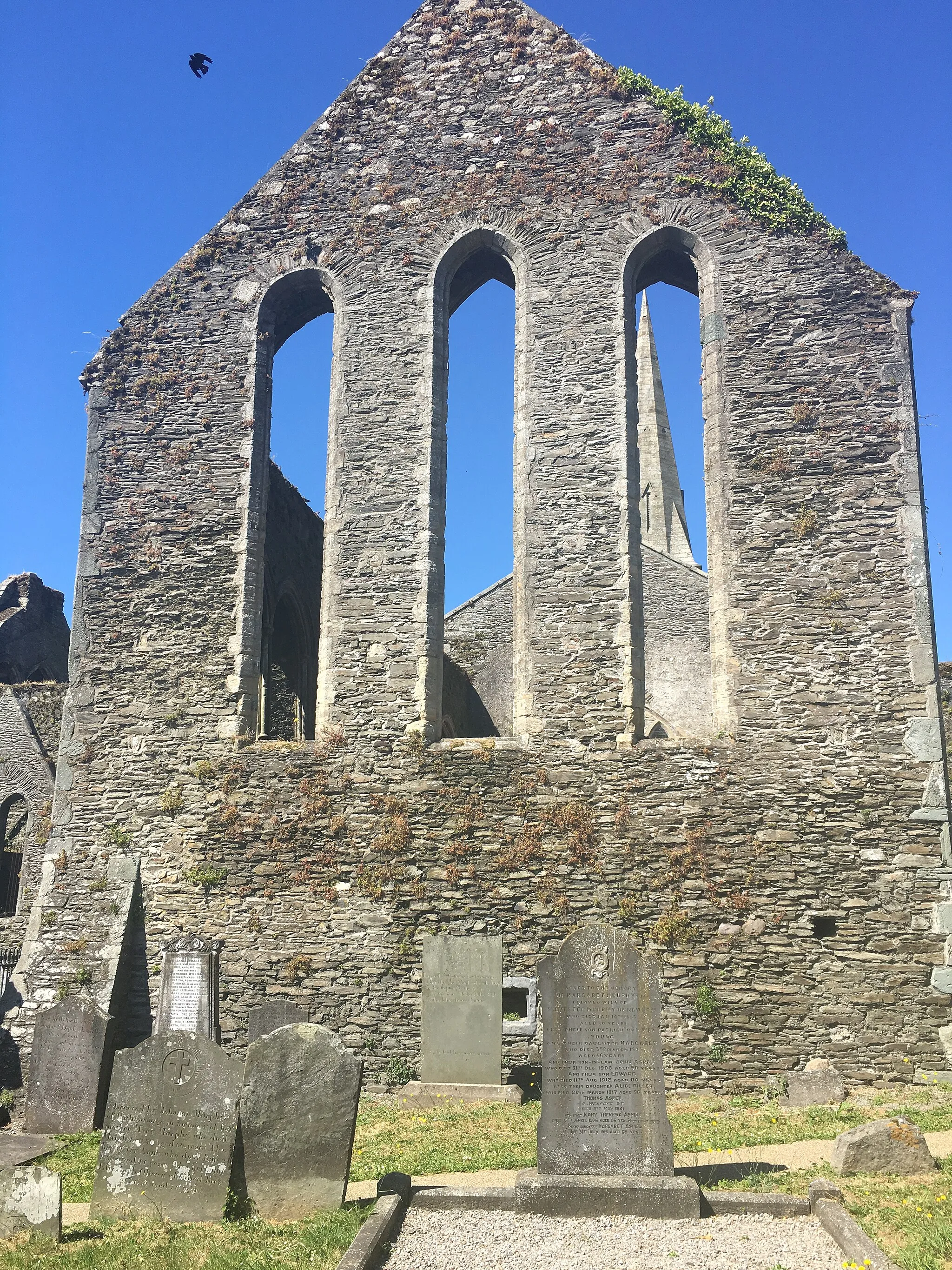
CarnewVillageCarnew, a quaint village along the route, is known for its historic buildings and serene atmosphere, making it a relaxing stop to explore and grab a bite to eat.
22 km
22 km
Kilmichael Hill269 mPeakKilmichael Hill is a popular destination for cyclists due to its challenging ascent and rewarding views from the summit, providing an epic riding experience.
34 km
34 km
Gorey Hill127 mPeakGorey Hill, located along the route, offers a thrilling climb and rewards cyclists with stunning vistas of the surrounding countryside.
43 km
43 km
Milshoge Rock81 mPeakMilshoge Rock, a unique geological formation along the route, provides an interesting stop to marvel at the wonders of nature and learn about the area's history.
44 km
44 km
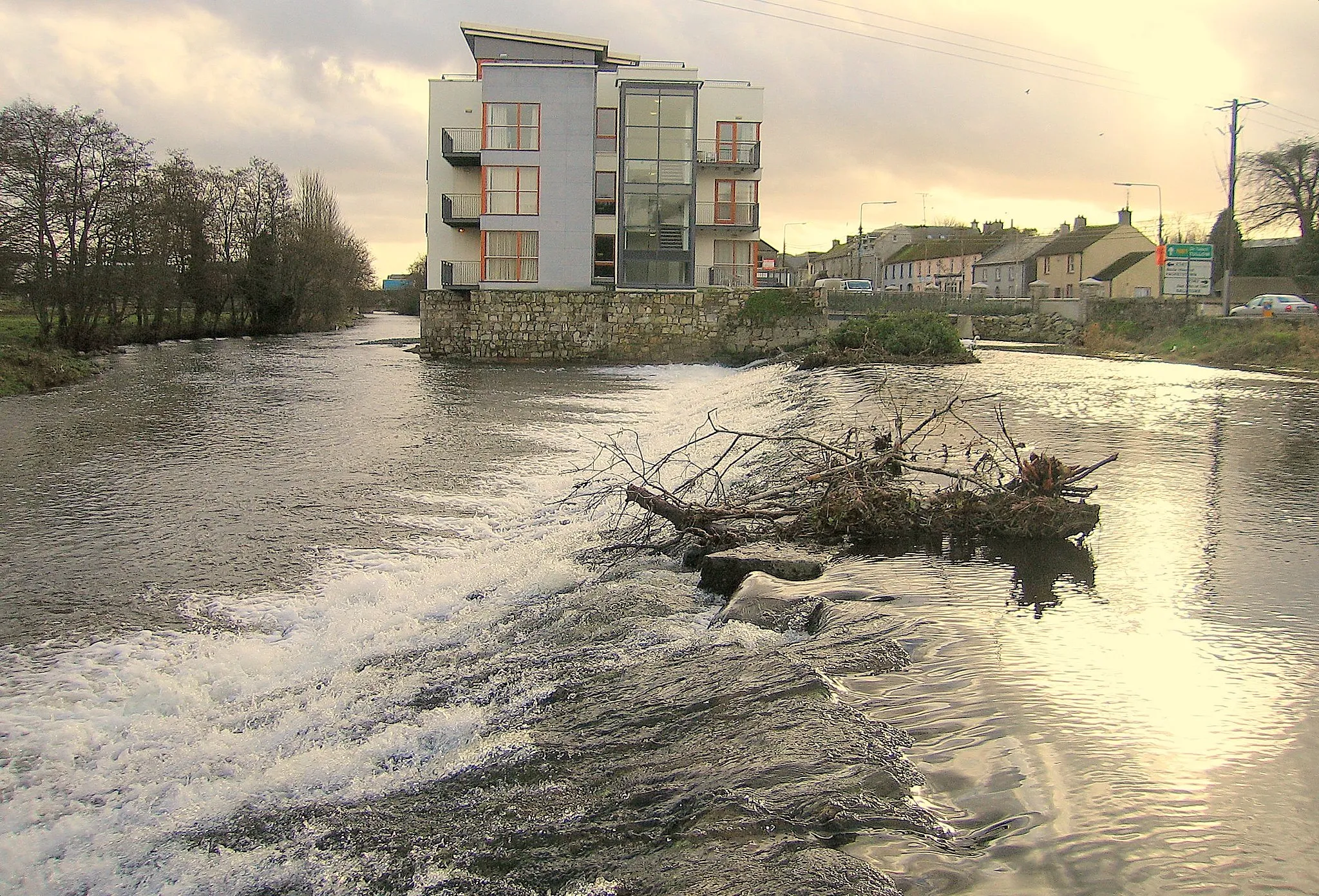
CamolinVillageCamolin is a charming village that showcases traditional Irish architecture and offers a variety of eateries and shops, inviting cyclists to take a break and soak in the local ambiance.
65 km
65 km
Finish: Bunclody City centerBunclody: Tranquil and scenic cycling in Bunclody, Ireland.
Cycling routes nearby: