Mountainous Circuit of Isolabona and Perinaldo
A road cycling route starting from Camporosso
A challenging route through the mountains with stunning views
Map
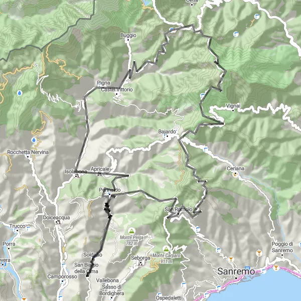
This mountainous cycling route takes you through the beautiful villages of Isolabona and Perinaldo. With a distance of 86 km and an ascent of 3162 m, it is a challenging ride that offers breathtaking views of the surrounding mountains and valleys. The highlights of this route include the medieval village of Isolabona, the panoramic views from Belvedere di Perinaldo, and the picturesque village of Castel Vittorio. Overall, this route is recommended for experienced cyclists looking for a challenging ride in a stunning mountainous landscape.
road
86 km
3162 m
Savage
Route profile
Highlights on the route
0 km
0 km
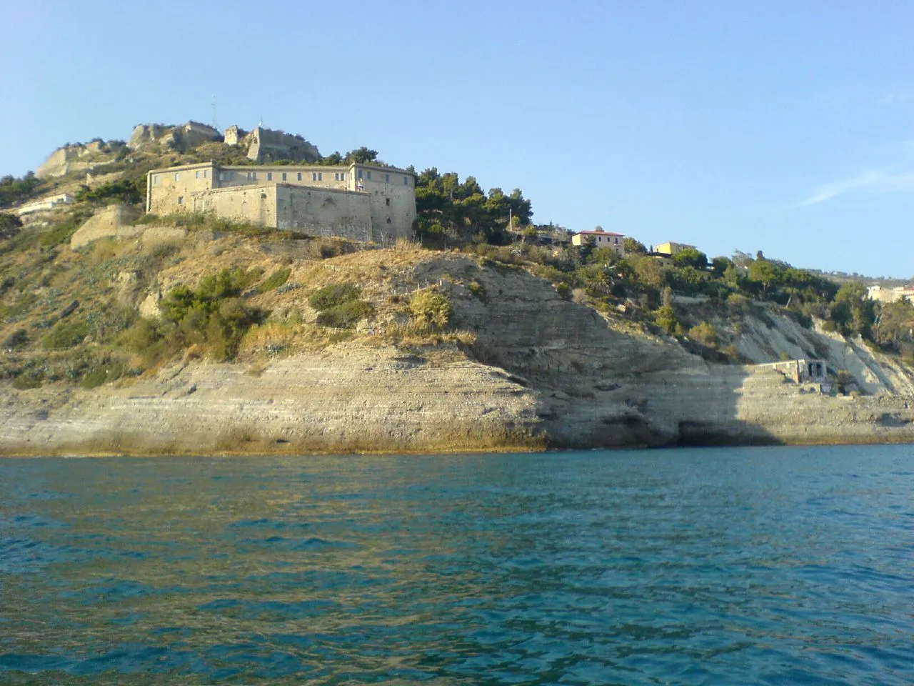
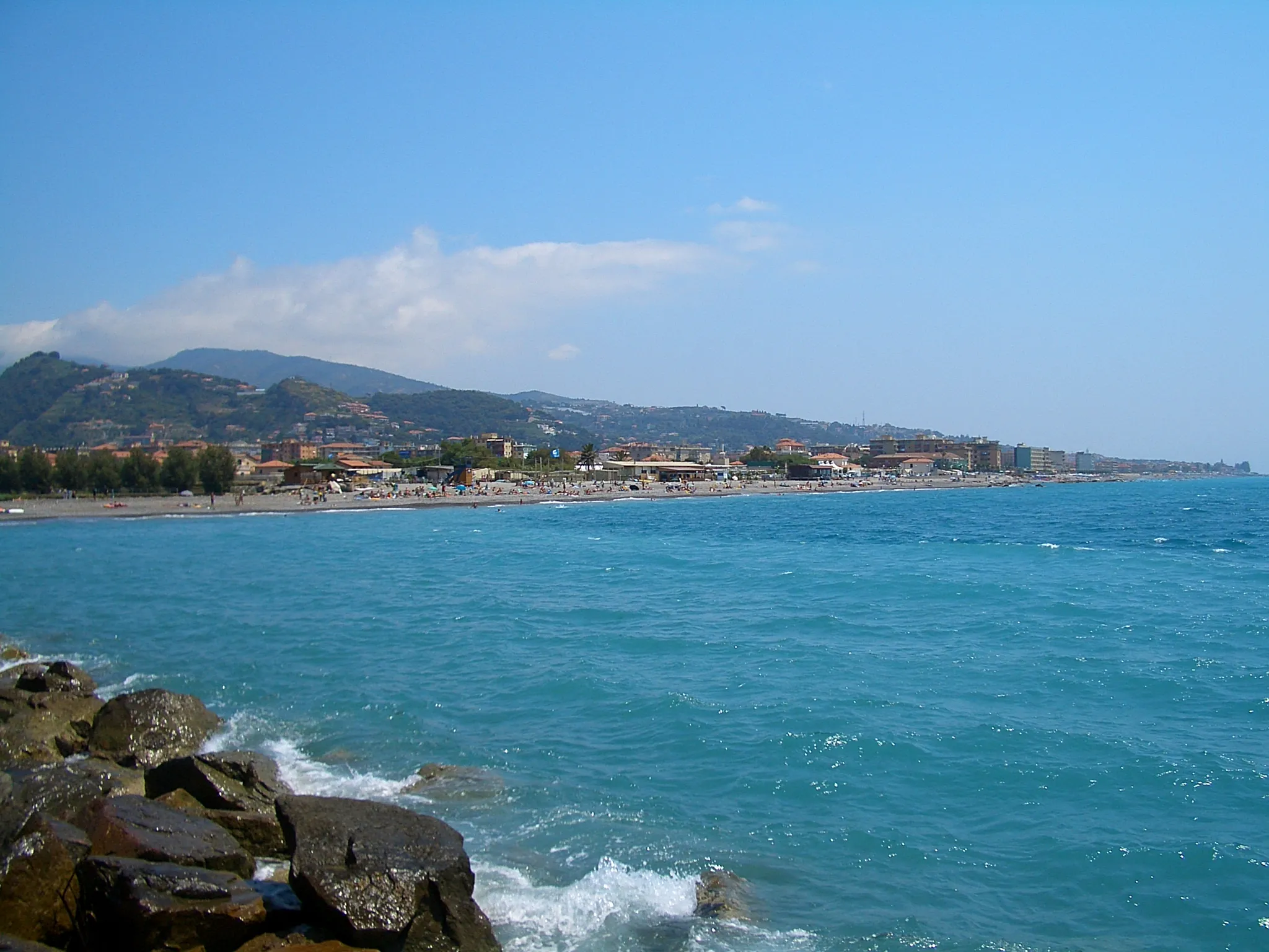
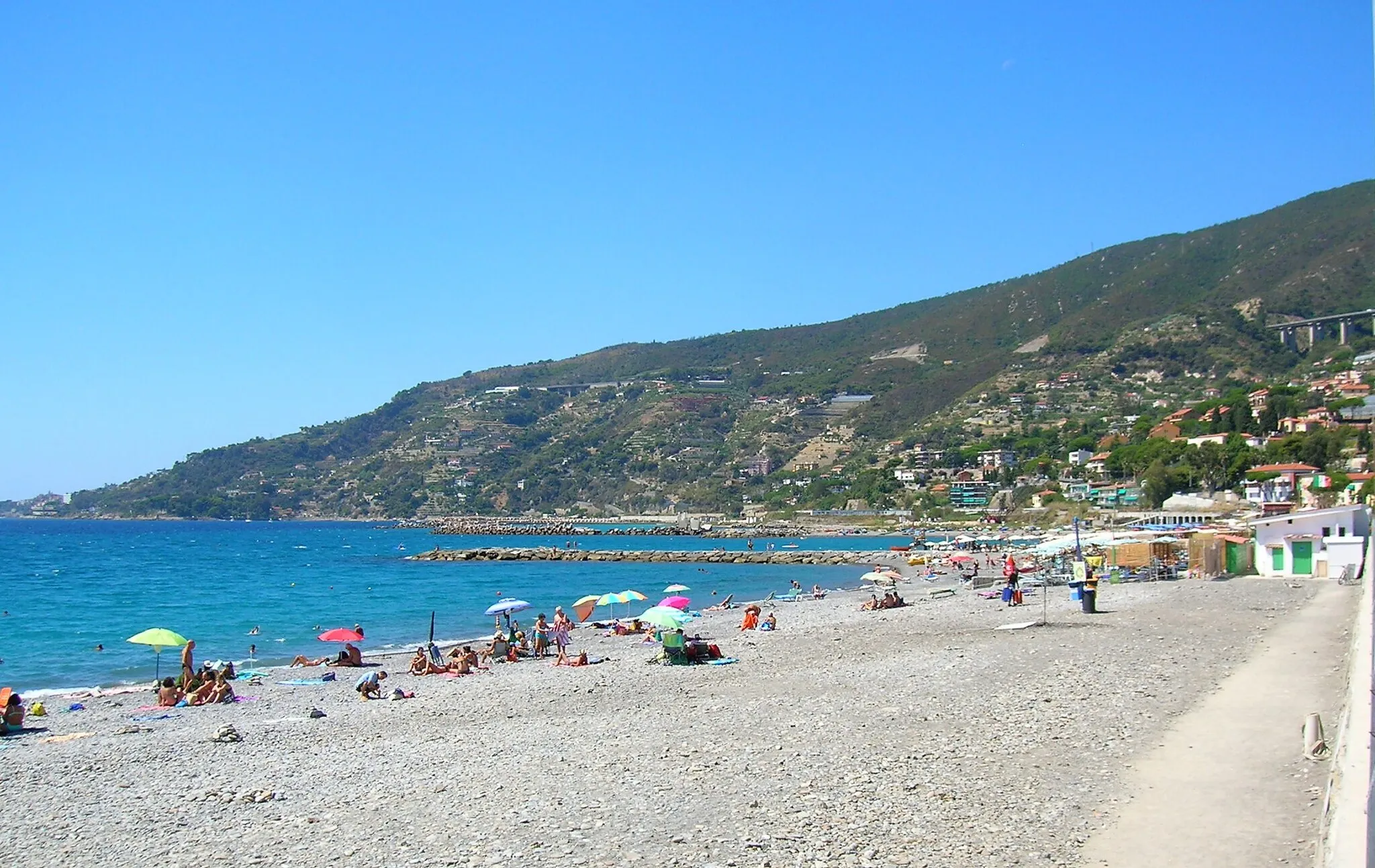
Start: San Biagio della Cima Village centerCamporosso: Tranquil locality with scenic routes
Camporosso is a small locality located in the Liguria region of Italy. As a cyclist, you will enjoy the tranquility and scenic beauty offered by this area. The locality features a mix of flat and moderately hilly routes, making it suitable for leisurely rides and moderate training. One notable spot nearby is the famous climb of Col de Tende. Overall, Camporosso provides a peaceful escape for cyclists seeking a relaxed and enjoyable riding experience.17 km
17 km
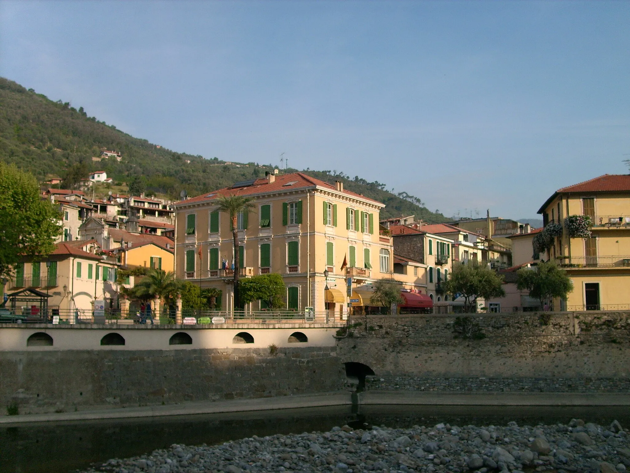
IsolabonaVillageIsolabona is a beautiful medieval village with narrow streets and charming stone houses.
26 km
26 km
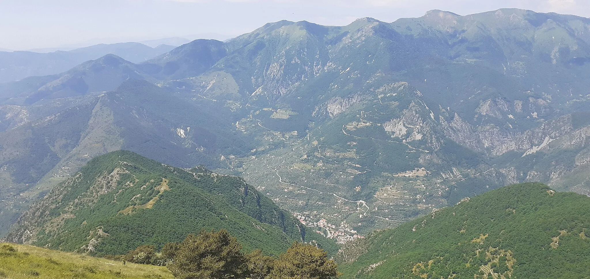
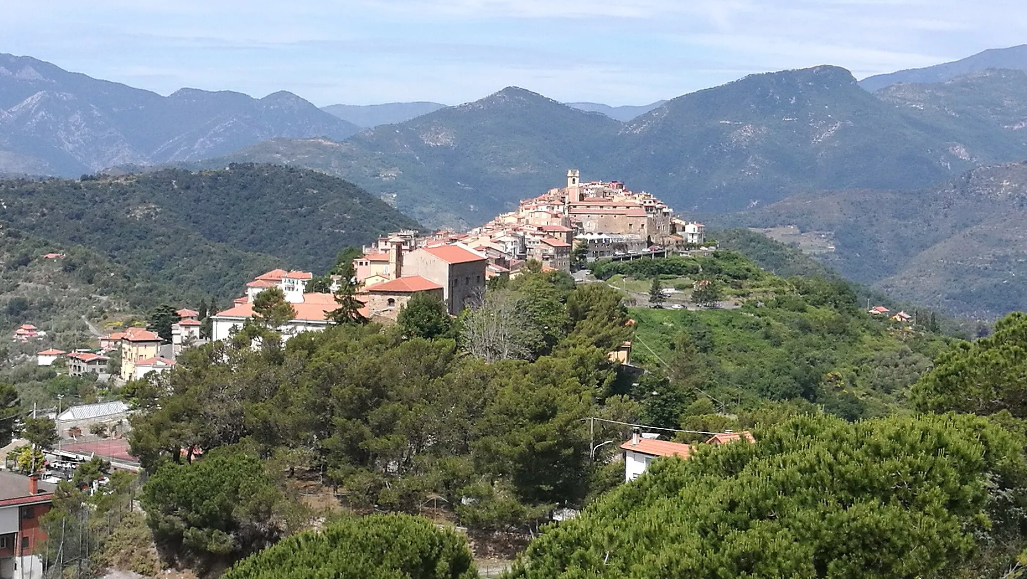
Castel VittorioVillageCastel Vittorio is a small village perched on a hilltop with panoramic views of the surrounding valleys.
37 km
37 km
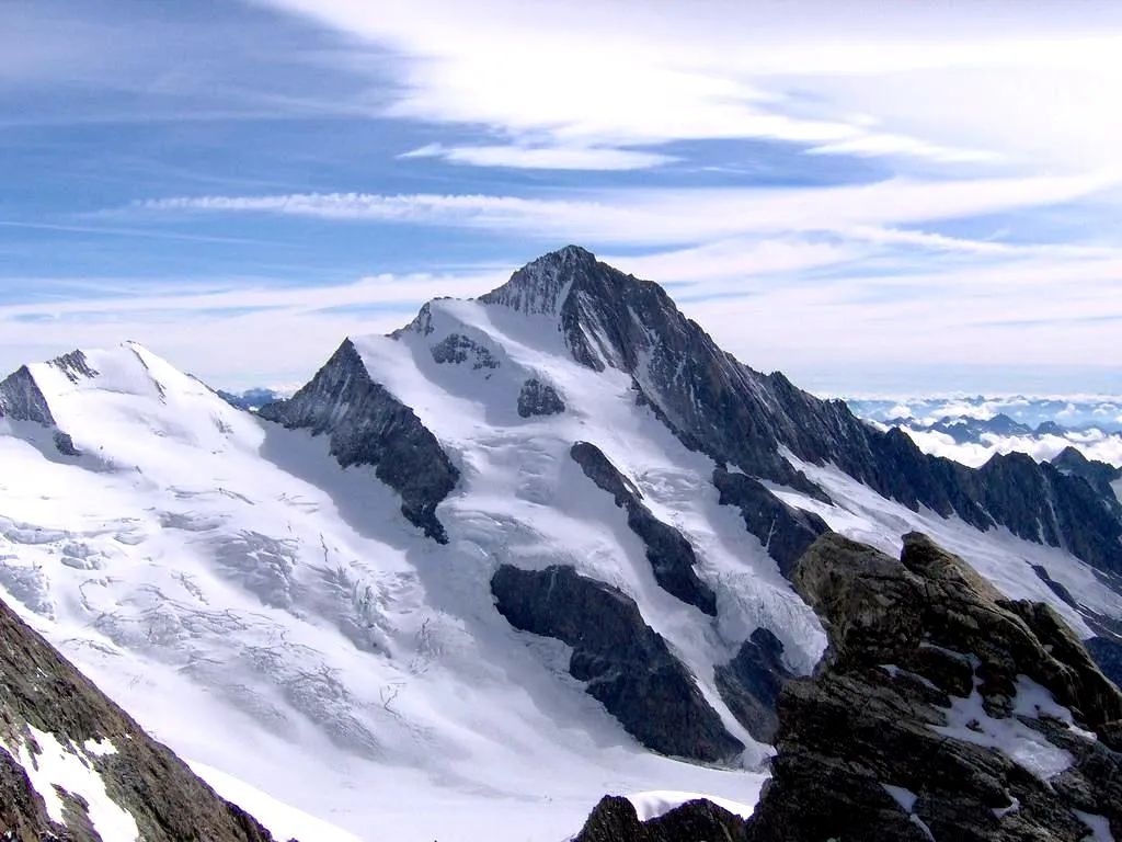
Colle Langan1227 mMountain PassColle Langan is a challenging climb that offers stunning views of the Ligurian Alps.
60 km
60 km
Monte Bignone1299 mPeakMonte Bignone is a 1,300 meter high mountain with spectacular views of the Mediterranean Sea.
76 km
76 km
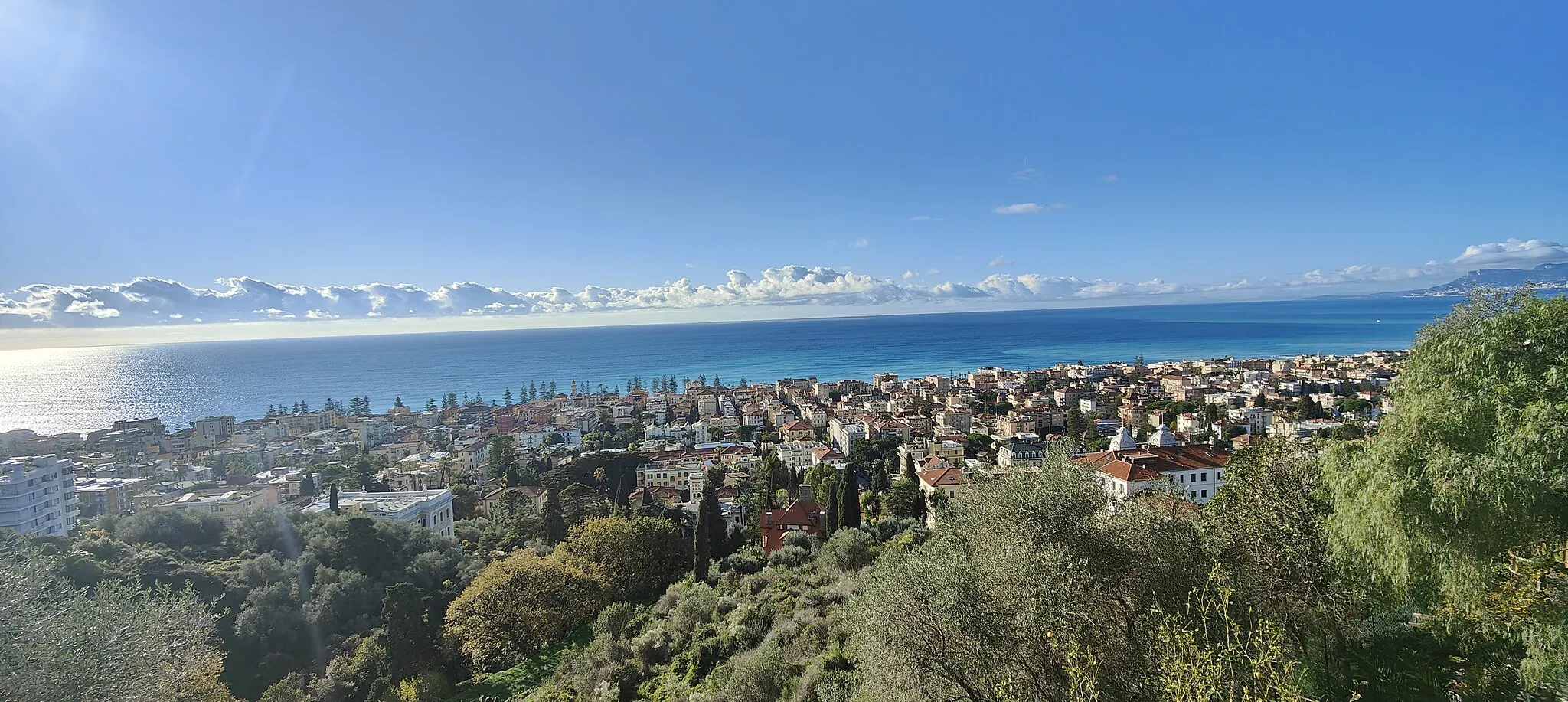
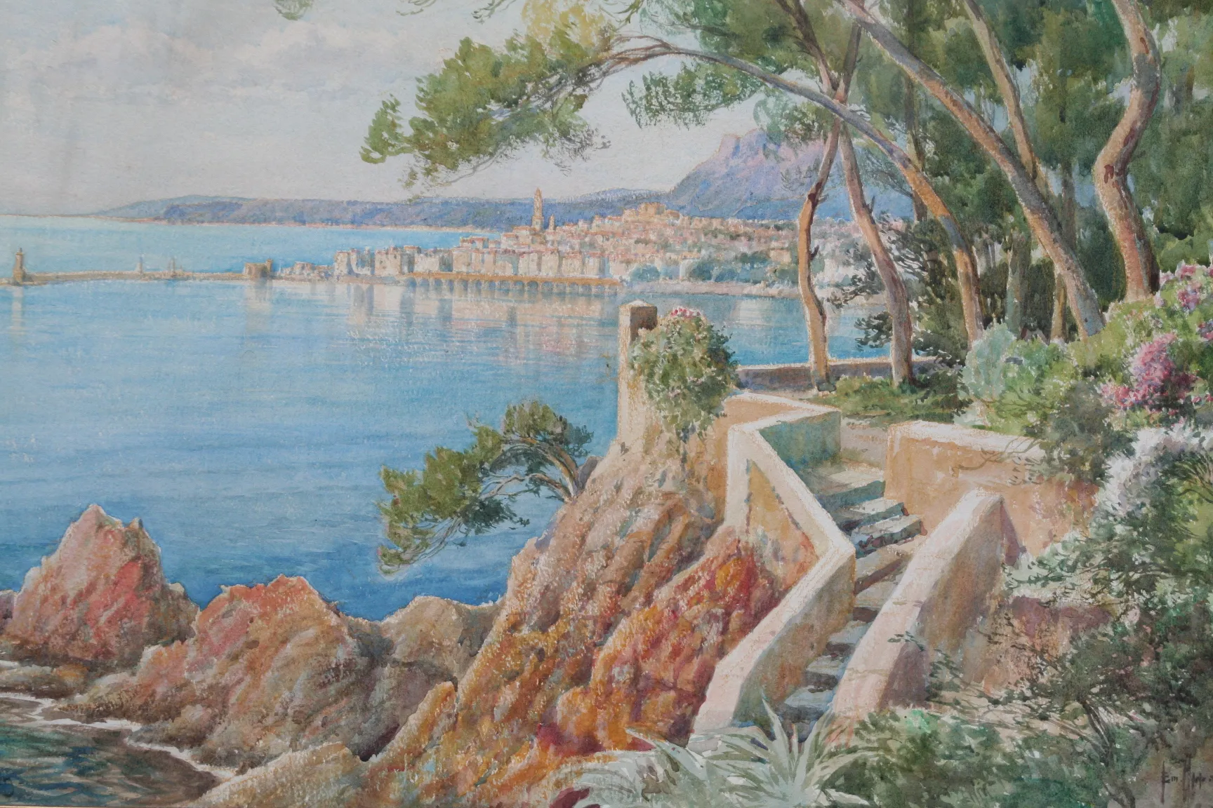
Belvedere di PerinaldoViewpointBelvedere di Perinaldo offers panoramic views of the Ligurian coast and the surrounding countryside.
84 km
84 km
SoldanoVillageSoldano is a charming village with narrow streets and traditional Ligurian architecture
86 km
86 km
Finish: San Biagio della Cima Village centerCamporosso: Tranquil locality with scenic routes
Cycling routes from Camporosso:
The Ligurian High Road The Ligurian Climbers' Challenge The Coastal Circuit The Mountain Majesty The Ligurian Peaks Circuit of Camporosso and Sanremo Mountainous Circuit of Isolabona and Perinaldo Scenic Loop of Dolceacqua and Pigna Mountain Challenge of Dolceacqua and San Romolo The Ligurian Adventure Camporosso to Ventimiglia via Castillon
Cycling routes nearby: