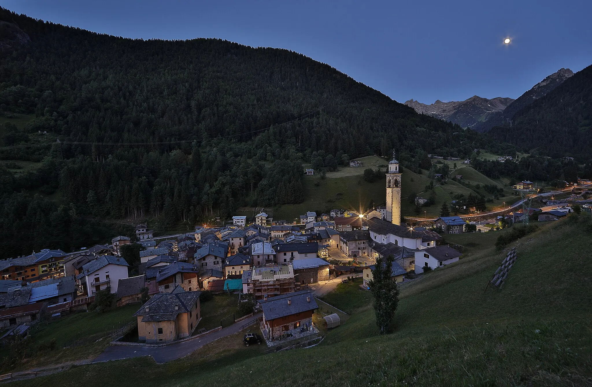
Valtellina Panorama
A road cycling route starting from Montagna in Valtellina
Explore the stunning beauty of Valtellina with breathtaking views of Sondrio.
Map
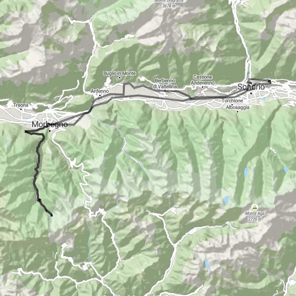
Valtellina Panorama is an epic cycling route that takes you through the picturesque landscapes of Valtellina. With a total distance of 100 km and an ascent of 2103 meters, this road cycling route offers a challenging yet rewarding experience for well-trained amateur cyclists. Along the way, you'll encounter several highlights including the charming town of Gerola Alta, the scenic Crap del Mezzodì, and the historic Castel Masegra. The route combines challenging climbs with exciting descents, providing a memorable journey for cycling enthusiasts.
road
100 km
2103 m
Tough
Route profile
Highlights on the route
0 km
0 km
Start: Montagna in Valtellina Village centerMontagna in Valtellina: Tranquil Cycling Experience in the Countryside
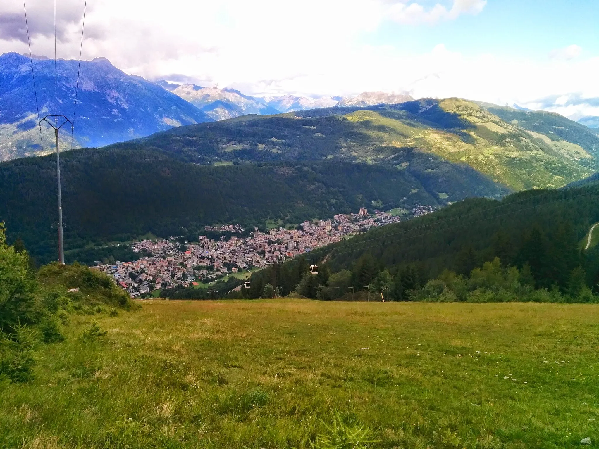
Montagna in Valtellina is a small locality nestled in the Lombardia region of Italy. Cyclists can expect quiet roads with rolling hills, picturesque vineyards, and charming villages along the way. While Montagna in Valtellina might not have any famous cycling spots or renowned climbs in the immediate vicinity, it still provides a peaceful and enjoyable cycling experience. The region is perfect for leisurely rides and exploring the surrounding countryside.3 km
3 km
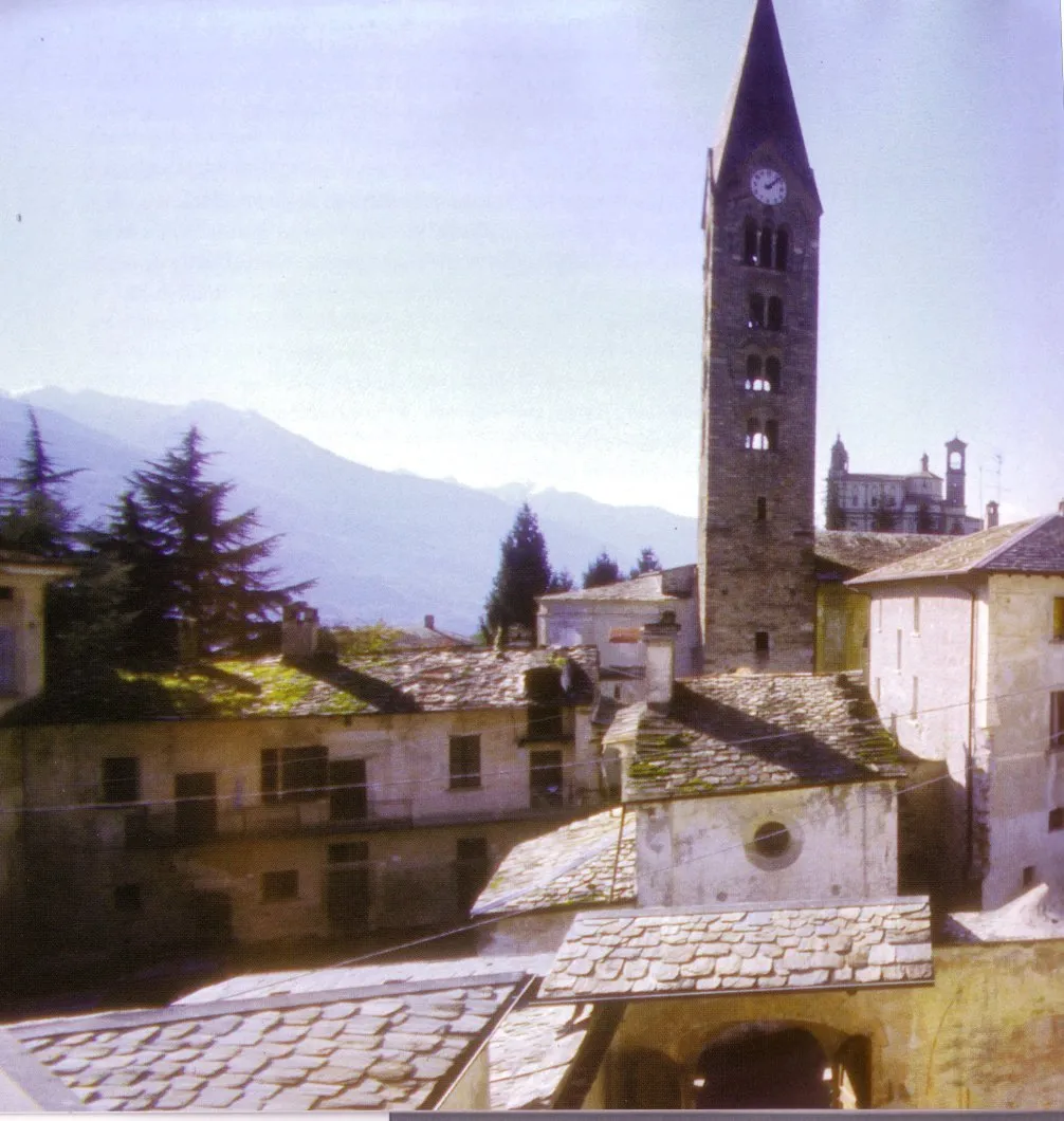
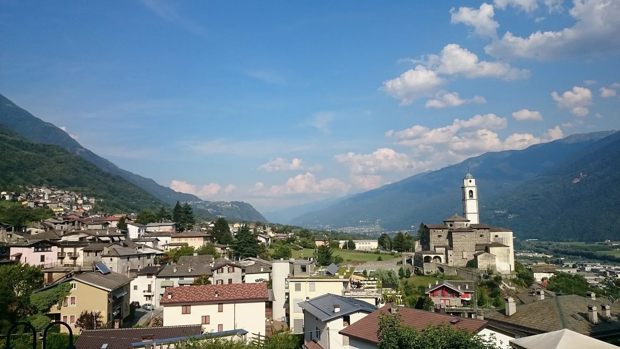
SondrioTownSondrio, the starting point of the route, is a charming town known for its historic buildings and vibrant atmosphere.
22 km
22 km
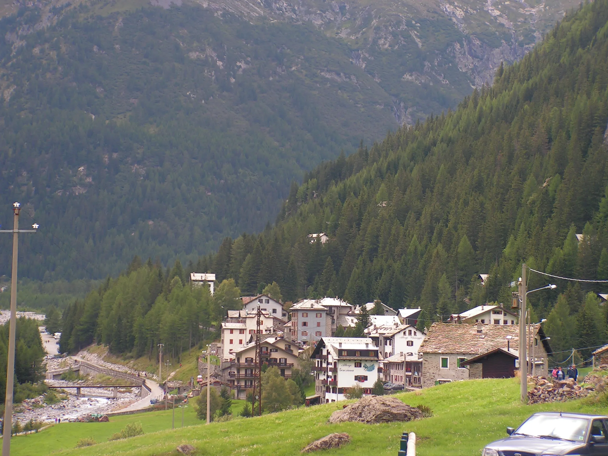
Crap del Mezzodì1040 mPeakCrap del Mezzodì offers panoramic views of the surrounding mountains and valleys, making it a must-see highlight along the route.
43 km
43 km
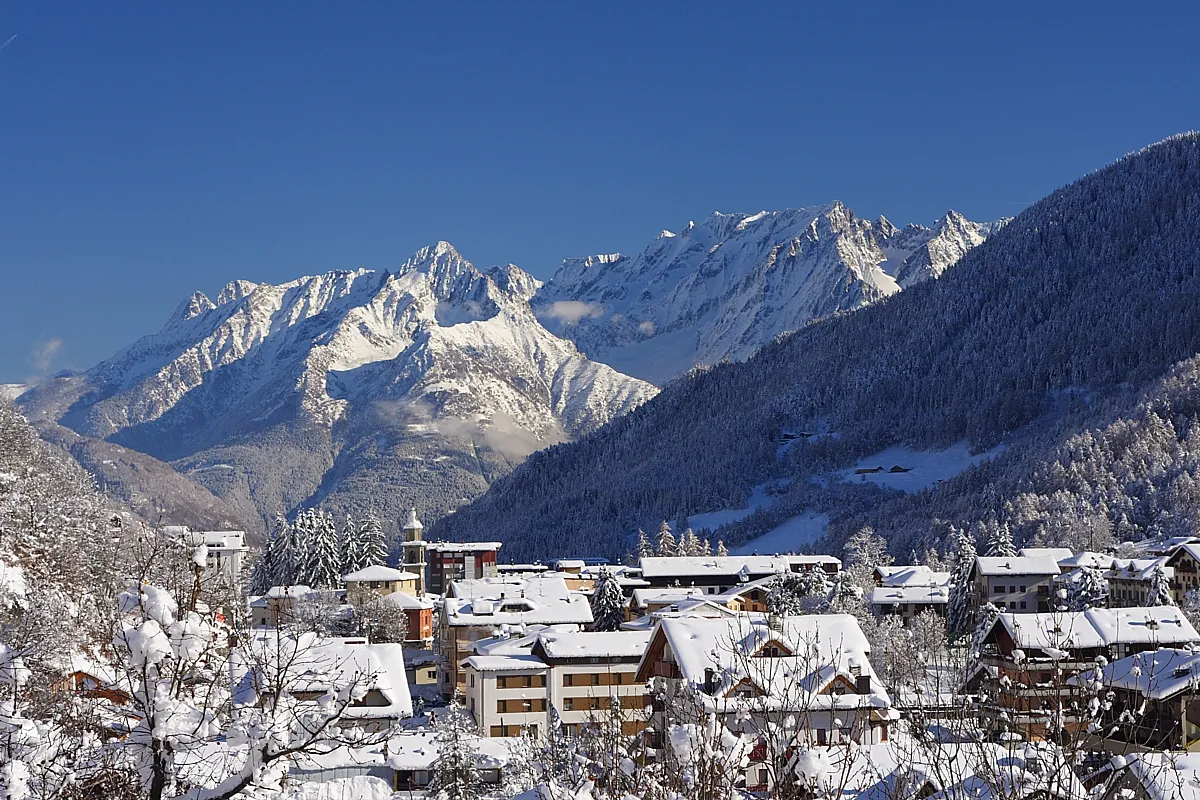
Gerola AltaHamletGerola Alta, a scenic town located at an elevation of 900 meters, showcases the beauty of Valtellina's mountainous landscapes.
51 km
51 km
Piic1867 mPeakPiic is a quaint village that provides a peaceful and picturesque stopover during the cycling journey.
73 km
73 km
Culmine di Dazio916 mPeakCulmine di Dazio, situated at an altitude of 1174 meters, offers stunning panoramic views and a refreshing break for cyclists.
74 km
74 km
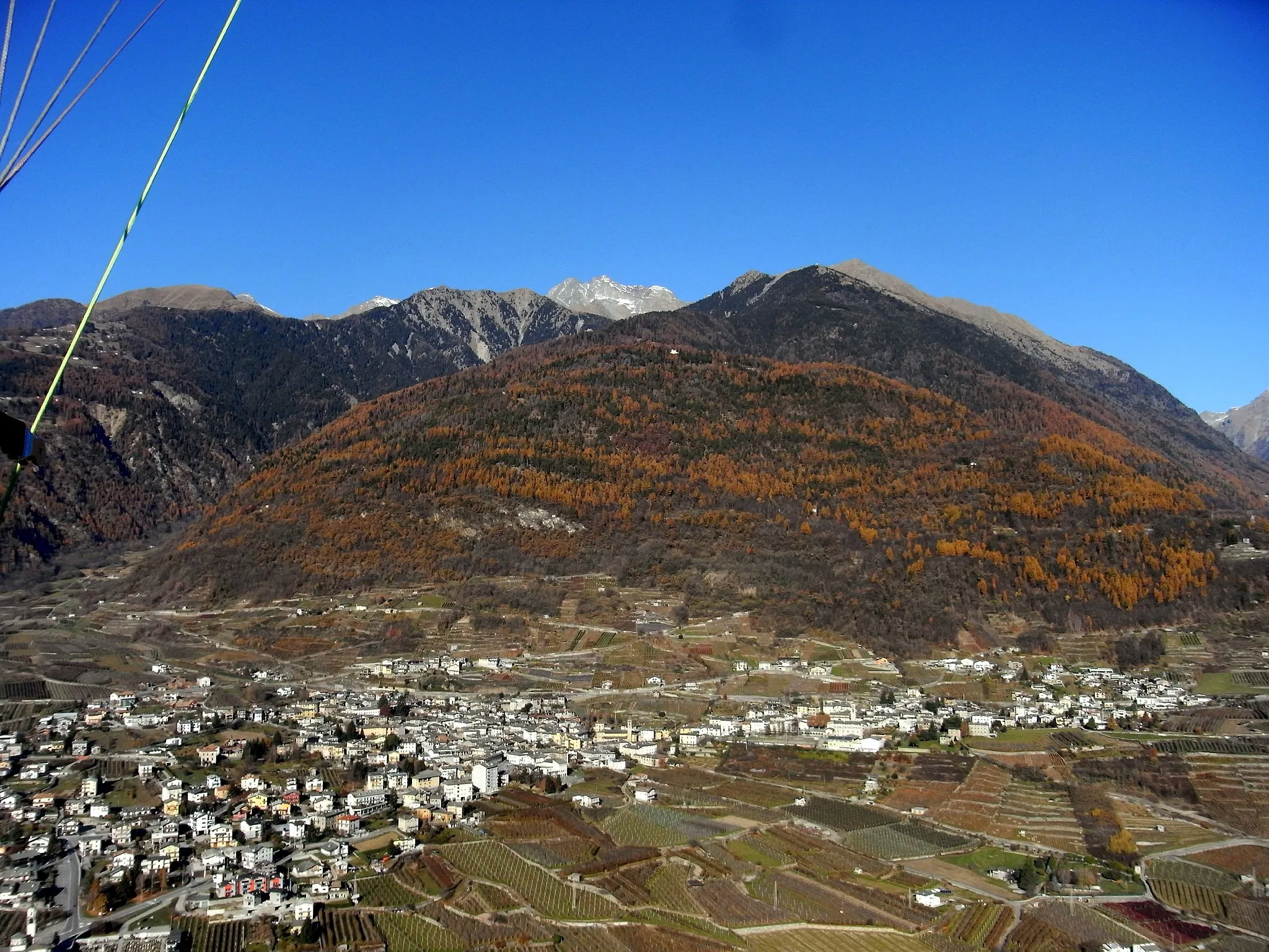
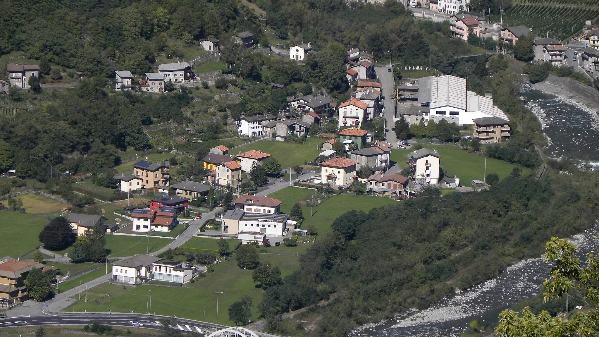
ArdennoVillageArdenno is a charming town that immerses cyclists in the rich history and architecture of Valtellina.
84 km
84 km
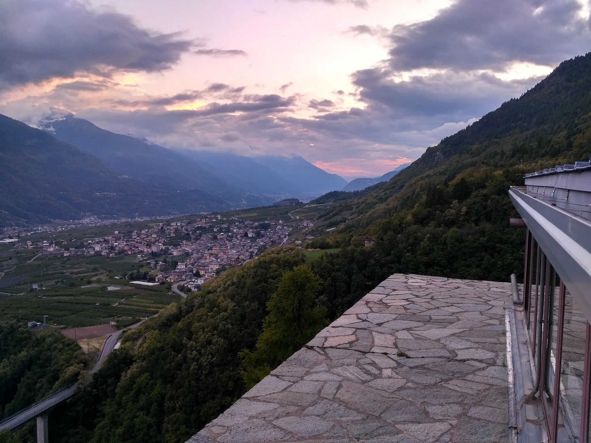
Berbenno di ValtellinaVillageBerbenno di Valtellina is a small village surrounded by picturesque vineyards, providing a pleasant stop along the route.
96 km
96 km
Castel MasegraCastleCastel Masegra is a medieval castle overlooking Sondrio, offering a fascinating glimpse into the region's history.
100 km
100 km
Finish: Montagna in Valtellina Village centerMontagna in Valtellina: Tranquil Cycling Experience in the Countryside
Cycling routes nearby: