Mountain Gravel Challenge
A gravel cycling route starting from Sant'Antonino di Susa
Conquer mountain gravel roads and enjoy stunning alpine views in this challenging gravel cycling route.
Map
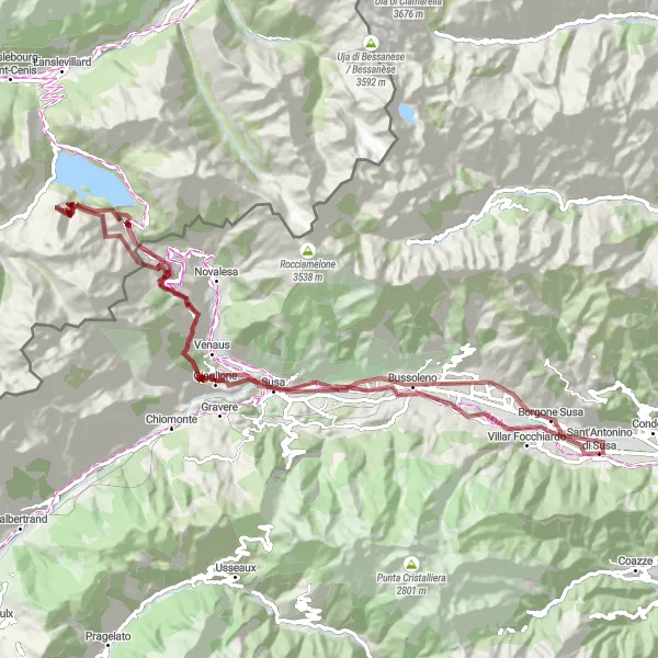
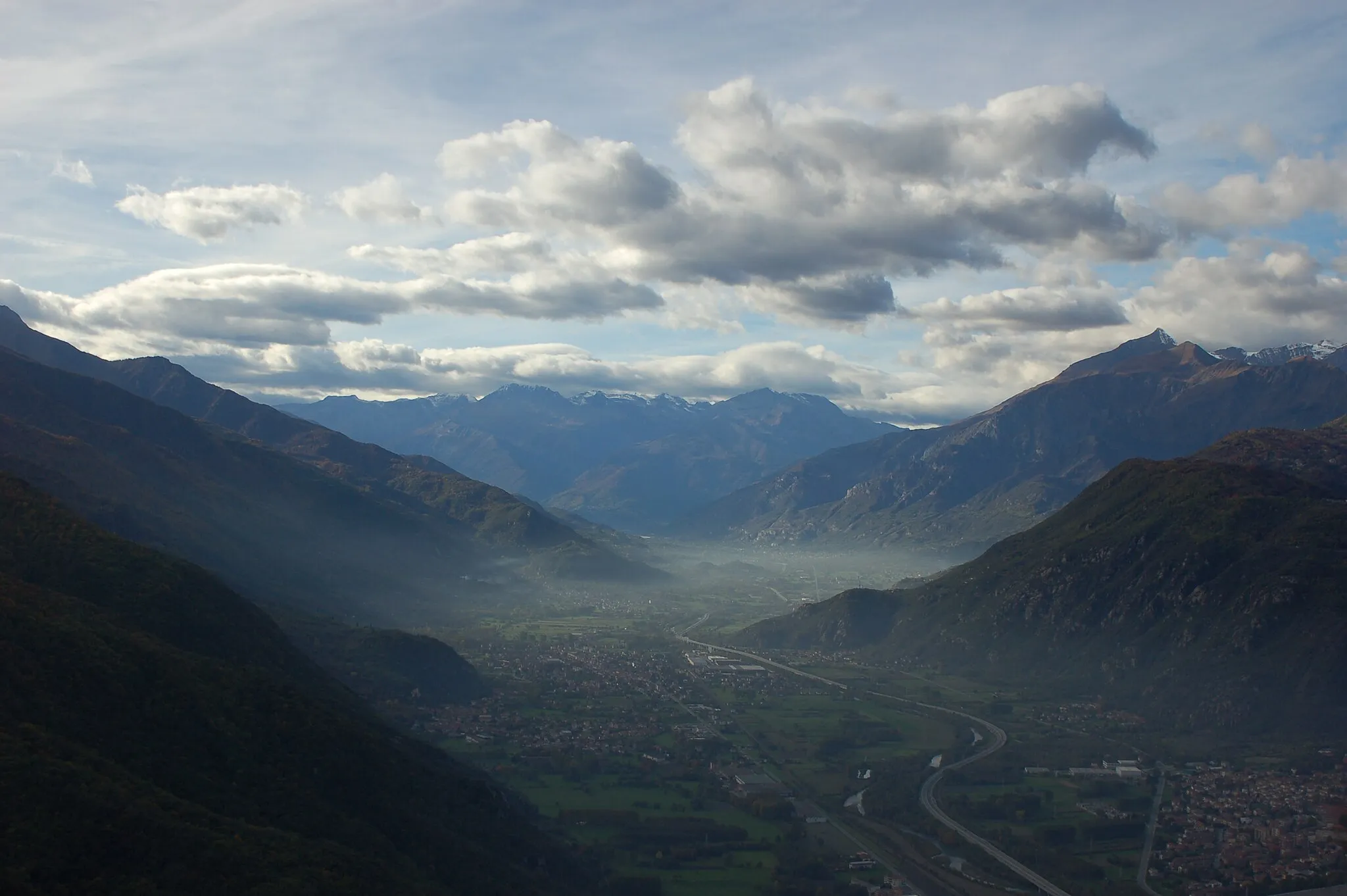
This gravel cycling route takes you through the beautiful alpine scenery near Sant'Antonino di Susa. With a total ascent of 2564 meters and a distance of 97 kilometers, this route is recommended for experienced and well-trained cyclists. Get ready to conquer challenging mountain gravel roads and enjoy breathtaking views of Giaglione and Bar Cenisio. The highlight of the route is the climb up to Moncenisio, offering stunning vistas of the surrounding mountains and lakes.
gravel
97 km
2564 m
Savage
Route profile
Highlights on the route
0 km
0 km
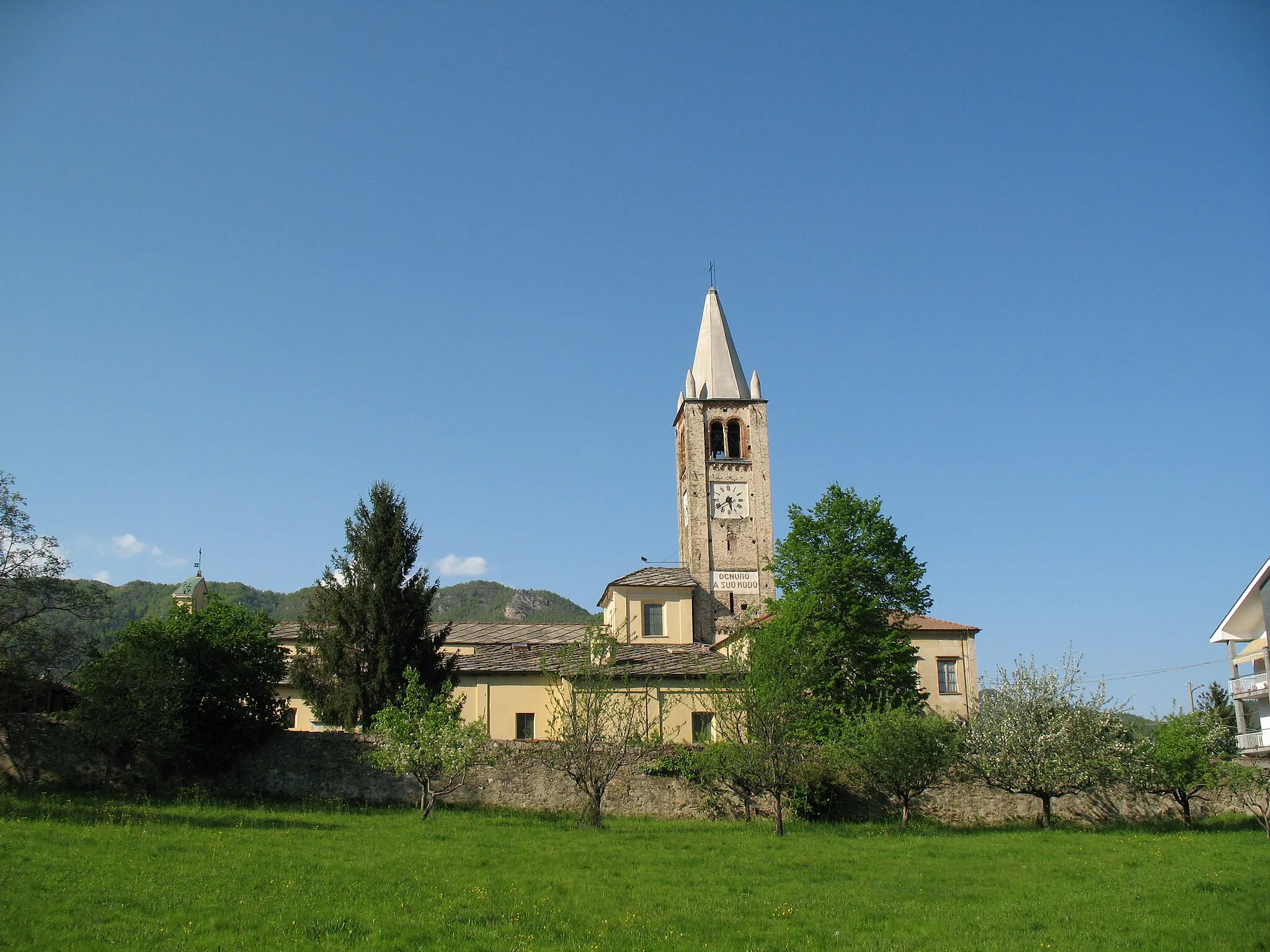
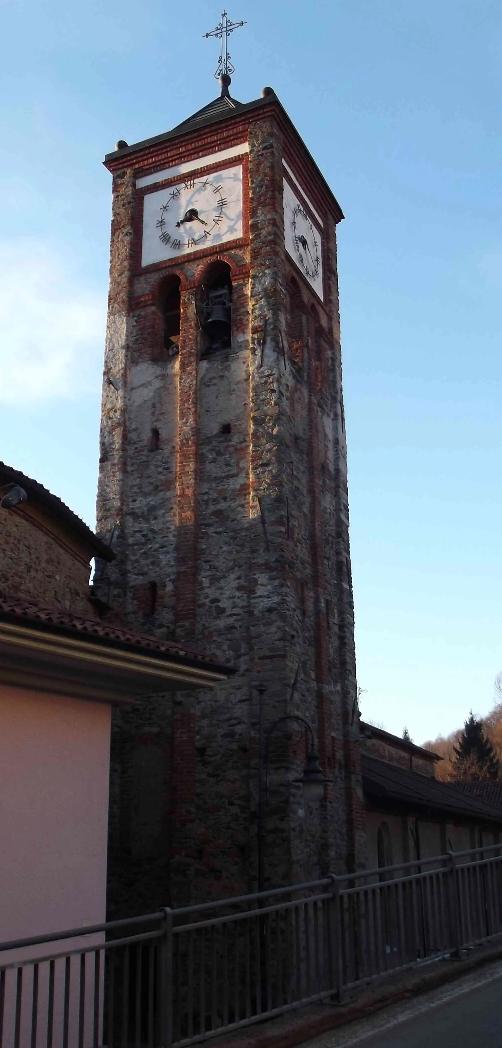
Start: Sant'Antonino di Susa Village centerSant'Antonino di Susa: Tranquil cycling getaway in the heart of nature's beauty
Sant'Antonino di Susa, located in Piemonte, Italy, is a hidden gem for road and gravel cyclists. The locality offers a mix of flat and rolling terrains, making it ideal for cyclists of all levels. Sant'Antonino di Susa is surrounded by beautiful nature, including the Susa Valley, providing cyclists with stunning views as they ride. While there are no famous climbs in the immediate area, the locality's cycling-friendly roads and peaceful atmosphere make it an excellent choice for exploring the region on two wheels.0 km
0 km
Sant'Antonino di SusaVillageSant'Antonino di Susa is a charming village known for its historic buildings and picturesque location.
24 km
24 km
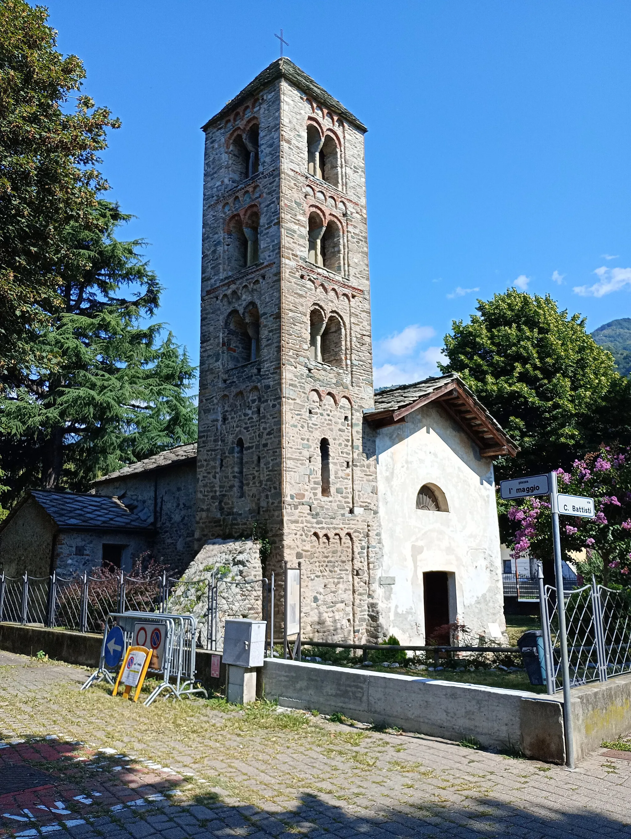
GiaglioneVillageGiaglione is a small alpine village surrounded by majestic mountains.
34 km
34 km
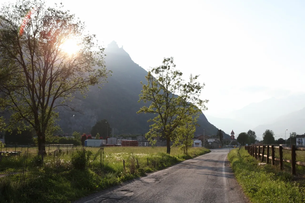
Bar CenisioHamletBar Cenisio is a stunning mountain pass on the border between Italy and France.
41 km
41 km
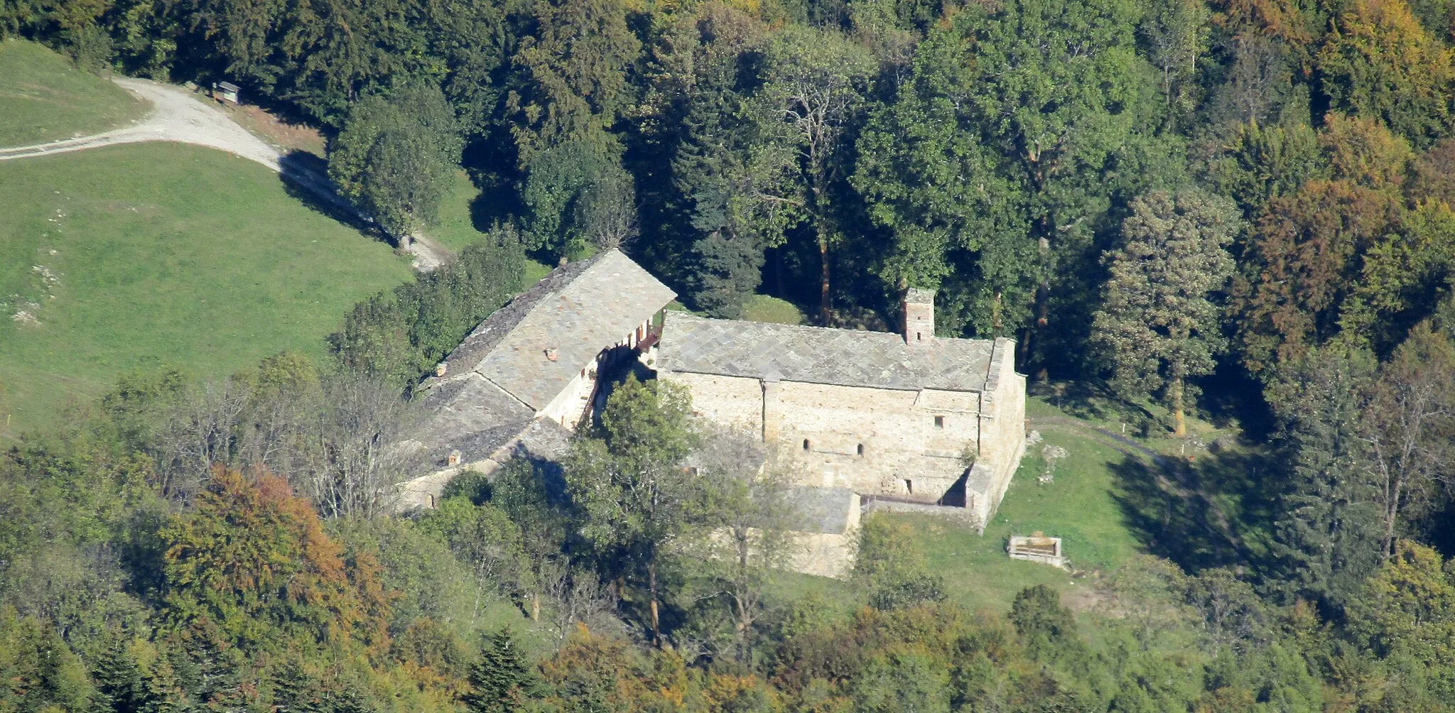
La Roche Forée2090 mPeakLa Roche Forée is a hidden gem, offering tranquility and natural beauty.
60 km
60 km
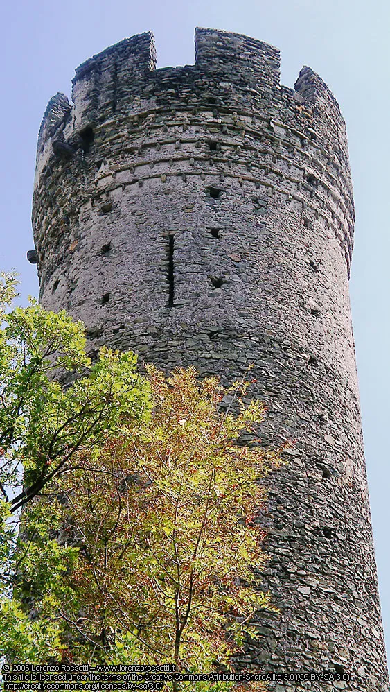
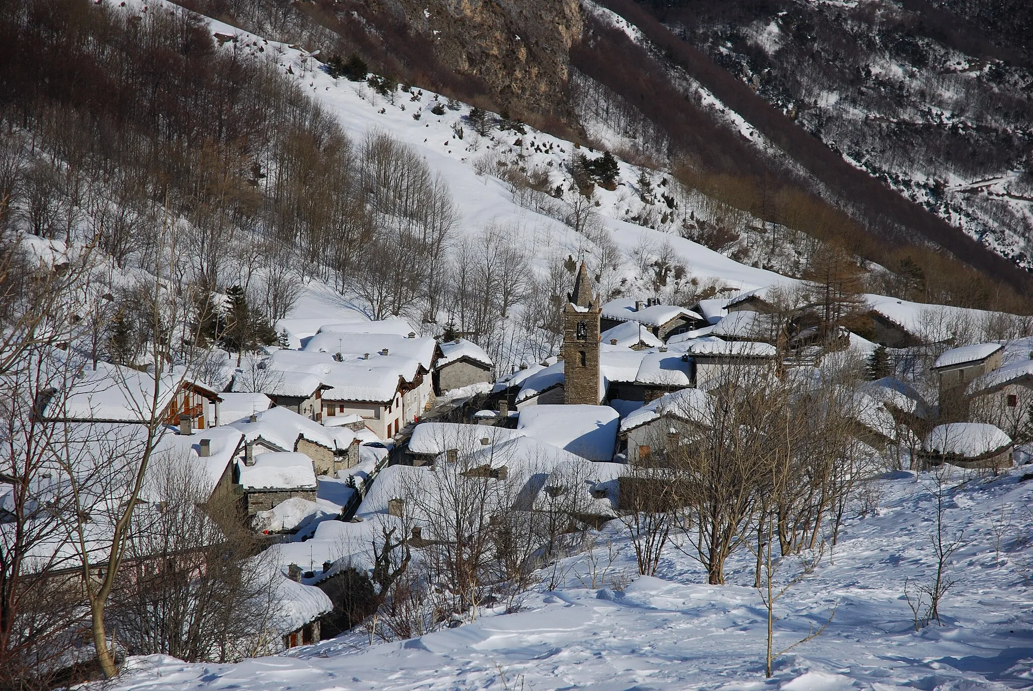
MoncenisioVillageMoncenisio is a famous mountain pass, known for its scenic beauty and challenging terrain.
76 km
76 km
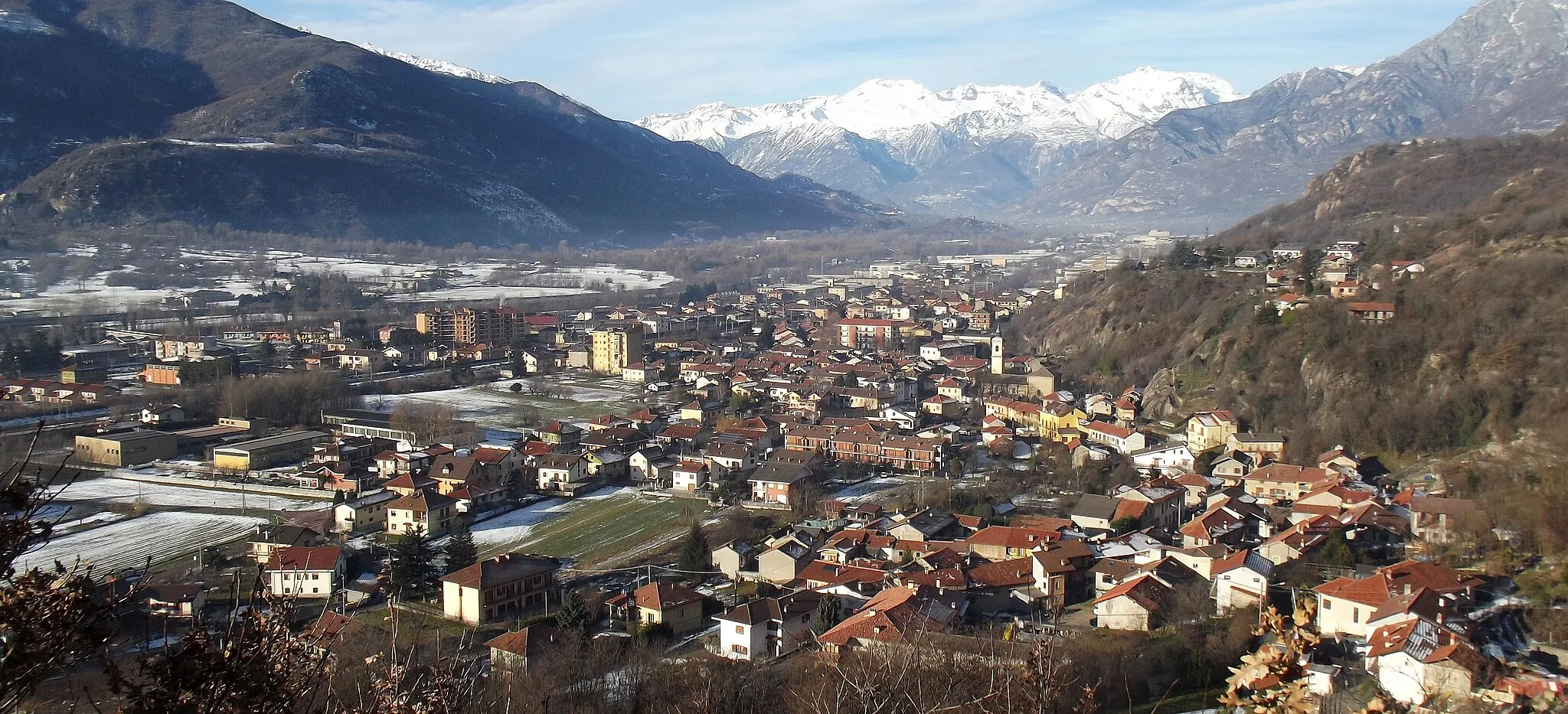
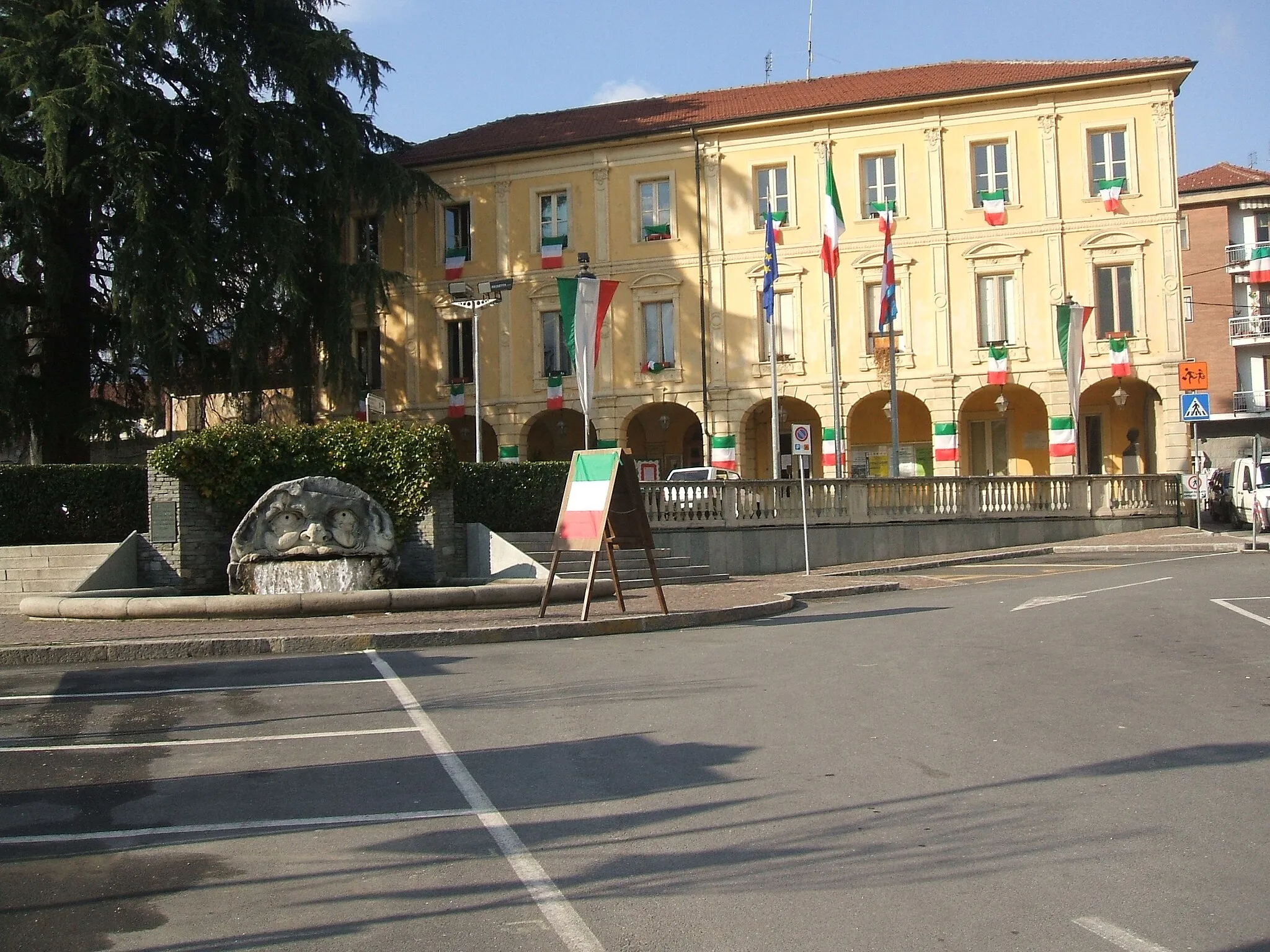
SusaVillageSusa is a historic town with ancient ruins and a charming atmosphere.
81 km
81 km
Truc San Martino872 mPeakTruc San Martino is a panoramic viewpoint overlooking the surrounding mountains.
89 km
89 km
San DideroVillageSan Didero is a small alpine village known for its peaceful atmosphere and beautiful views.
97 km
97 km
Truc Meizantera553 mPeakTruc Meizantera offers stunning panoramic views of the Susa Valley.
97 km
97 km
Finish: Sant'Antonino di Susa Village centerSant'Antonino di Susa: Tranquil cycling getaway in the heart of nature's beauty
Cycling routes nearby: