Rjukan Gravel Adventure
A gravel cycling route starting from Rjukan
Explore the rugged terrain around Rjukan on this exhilarating gravel adventure
Map

The Rjukan Gravel Adventure is a 94km route that takes you through the rugged and scenic terrain around Rjukan. With a total ascent of 1592m, this moderate difficulty route is perfect for gravel enthusiasts looking to explore the natural beauty of Agder og Sør-Østlandet. Highlights of the route include Finbergnuten, a mountain with sweeping views of the surrounding mountains and lakes, and Vøgårhovde, a hill with historical significance and stunning vistas. With its mix of challenging climbs and rugged gravel roads, the Rjukan Gravel Adventure is sure to satisfy adventure-seeking cyclists.
gravel
94 km
1592 m
Tough
Route profile
Highlights on the route
0 km
0 km
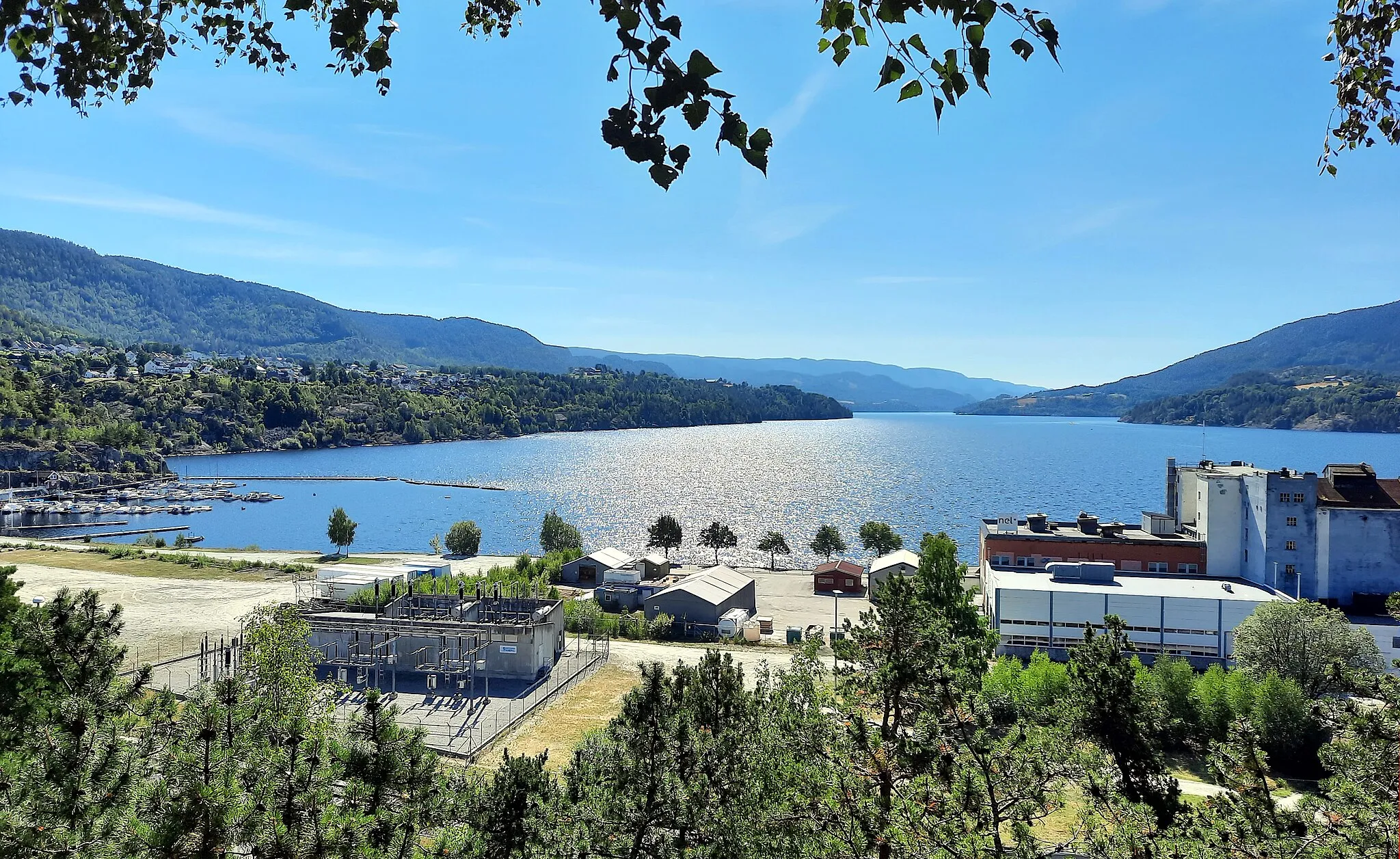
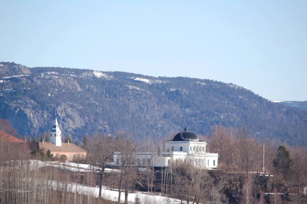
Start: Rjukan City centerRjukan: Exploring Rjukan's mix of history, natural beauty, and thrilling cycling routes.
Rjukan, nestled in Agder og Sør-Østlandet region of Norway, offers a unique cycling experience with its mix of roads and gravel paths. The town is surrounded by picturesque landscapes and offers plenty of opportunities for scenic cycling routes. One of the highlights for cyclists is the Rjukan-Notodden Industrial Heritage Site, a UNESCO World Heritage Site, which features well-paved roads and gravel paths for exploration. Additionally, Rjukan is famous for its proximity to Gaustatoppen, one of Norway's most iconic mountains, which offers cyclists a challenging ascent on its scenic roads. Overall, Rjukan provides a mix of history, natural beauty, and thrilling cycling routes for enthusiasts.0 km
0 km
RjukanTownRjukan, a historic town known for its industrial heritage and UNESCO-listed sites.
5 km
5 km
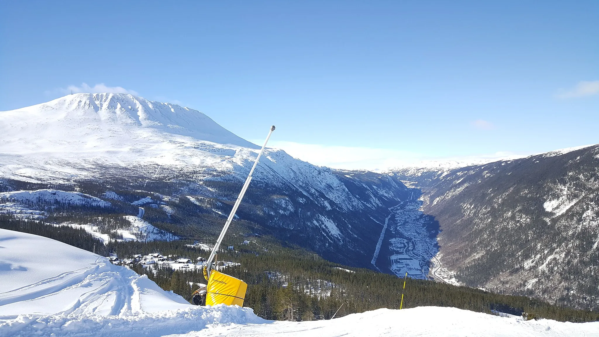
FinbergnutenViewpointFinbergnuten, a mountain with panoramic views of Hardangervidda National Park.
14 km
14 km
Nordre Olabunut1252 mPeakNordre Olabunut, a popular summit with breathtaking views of the surrounding landscape.
36 km
36 km
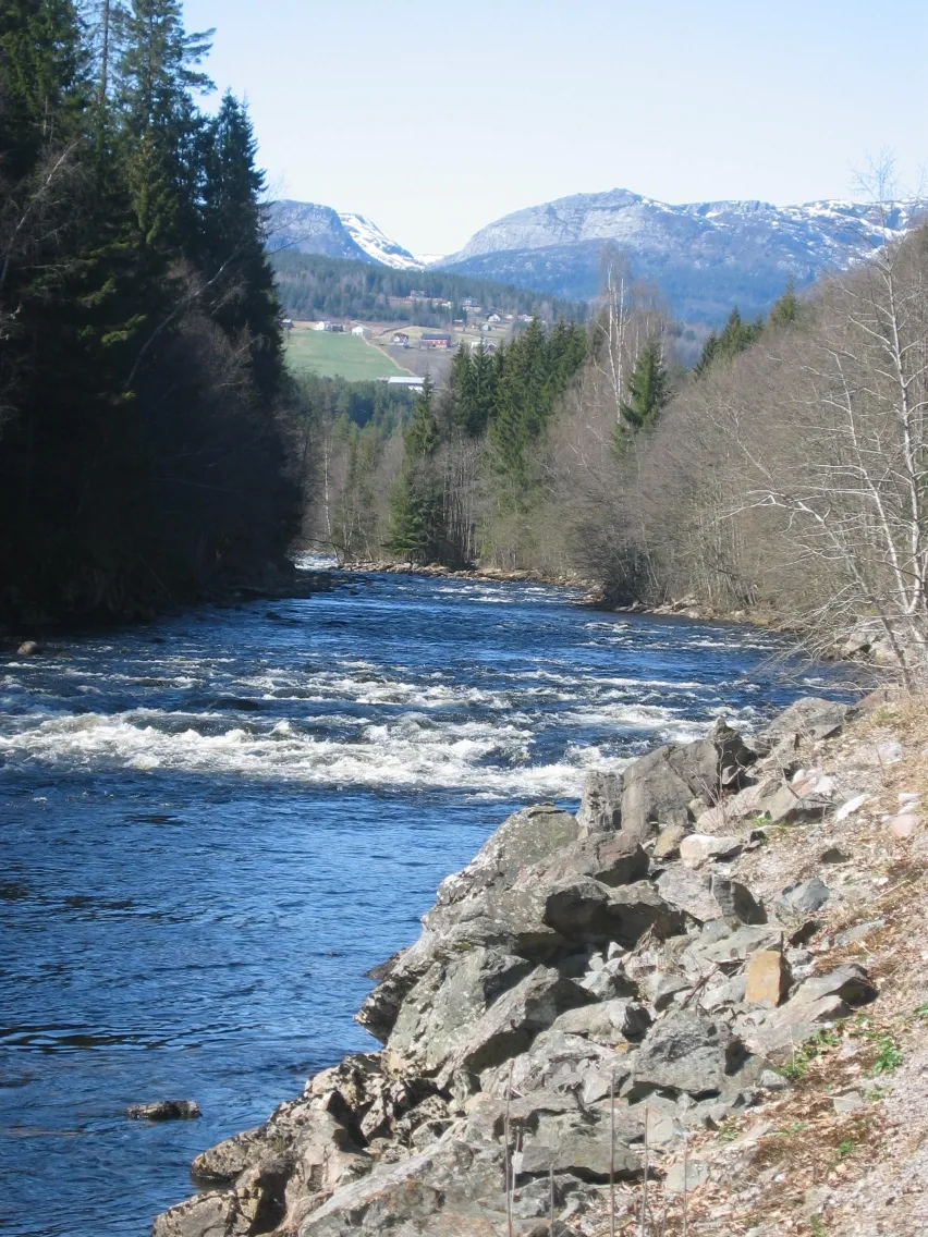
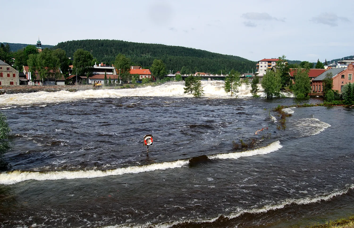
Vøgårhovde1260 mPeakVøgårhovde, a hill with commanding views of the Rjukanfossen waterfall and Vinje Lake.
82 km
82 km
MilandVillageMiland, a peaceful village surrounded by scenic forests and mountains.
92 km
92 km
TveitoSub-urbTveito, a charming hamlet with traditional Norwegian architecture and welcoming locals.
94 km
94 km
Finish: Rjukan City centerRjukan: Exploring Rjukan's mix of history, natural beauty, and thrilling cycling routes.
Cycling routes nearby: