Orava Adventure
A gravel cycling route starting from Podwilk
Embark on a gravel adventure exploring the idyllic countryside and historical treasures of Orava.
Map
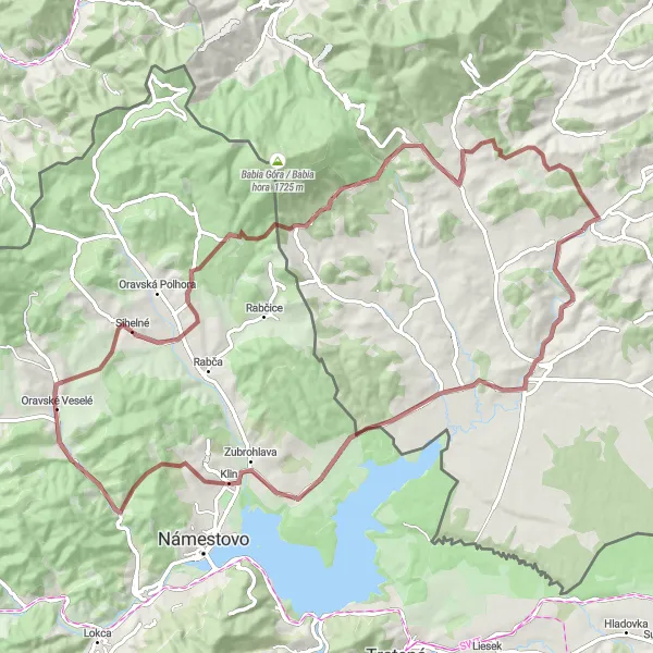
Discover the rich history and natural beauty of the Orava region on this 82-kilometer gravel cycling route. With an elevation gain of 1225 meters, this route takes you on a journey through picturesque landscapes and captivating historical sites. Starting at Podwilk, the route passes through Dział, Bobrov, Pálenica, Oravské Veselé, Rozhľadňa Trchovnica, Zubrzyca Górna, Przełęcz Nad Wąwozem, Nowoć, and ends at Podwilk Kościół. With a difficulty level of 4 and an epicness rating of 3, this route offers both challenges and cultural immersion. Highlights include the historic village of Podwilk, the natural beauty of Bobrov, and the panoramic views from Rozhľadňa Trchovnica.
gravel
82 km
1225 m
Tough
Route profile
Highlights on the route
0 km
0 km
Start: Podwilk Village centerPodwilk: Idyllic Cycling in Podwilk
Podwilk is a delightful locality situated in the Małopolskie region of Poland. From a cyclist's perspective, it offers a mix of quaint villages, open fields, and rolling hills, providing an enjoyable road and gravel cycling experience. Cyclists can discover charming routes through the countryside, taking in the scenic vistas along the way. Not far from Podwilk, cyclists can test their skills on the famous climb to Stępinka Mountains, known for its challenging gradients and rewarding views. With its idyllic surroundings and cycling opportunities, Podwilk is a great choice for leisurely rides and challenging climbs.0 km
0 km
PodwilkVillage3 km
3 km
Dział707 mPeakDział is a small village known for its tranquility and beautiful rolling countryside.
22 km
22 km
BobrovVillageBobrov provides a peaceful escape with its tranquil nature and picturesque landscapes.
32 km
32 km
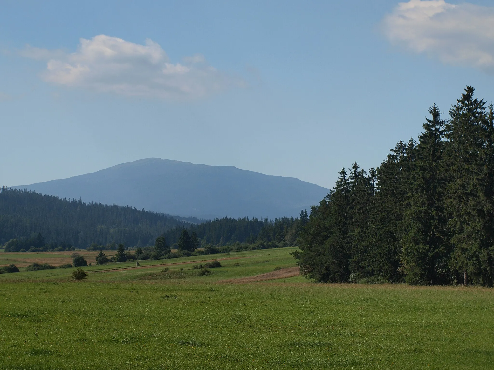
Pálenica860 mPeakPálenica is a popular hiking spot offering stunning panoramic views of the surrounding countryside.
40 km
40 km
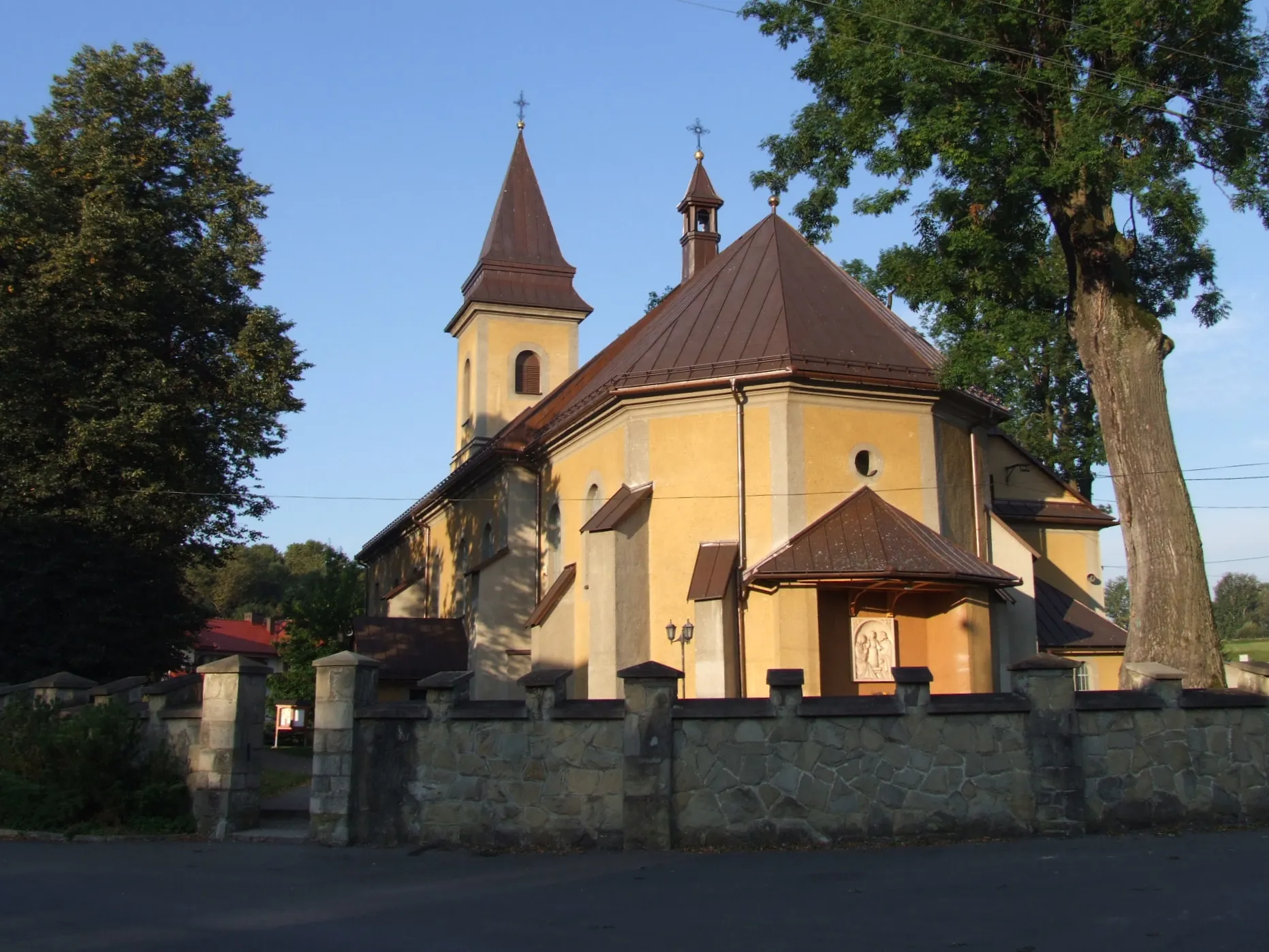
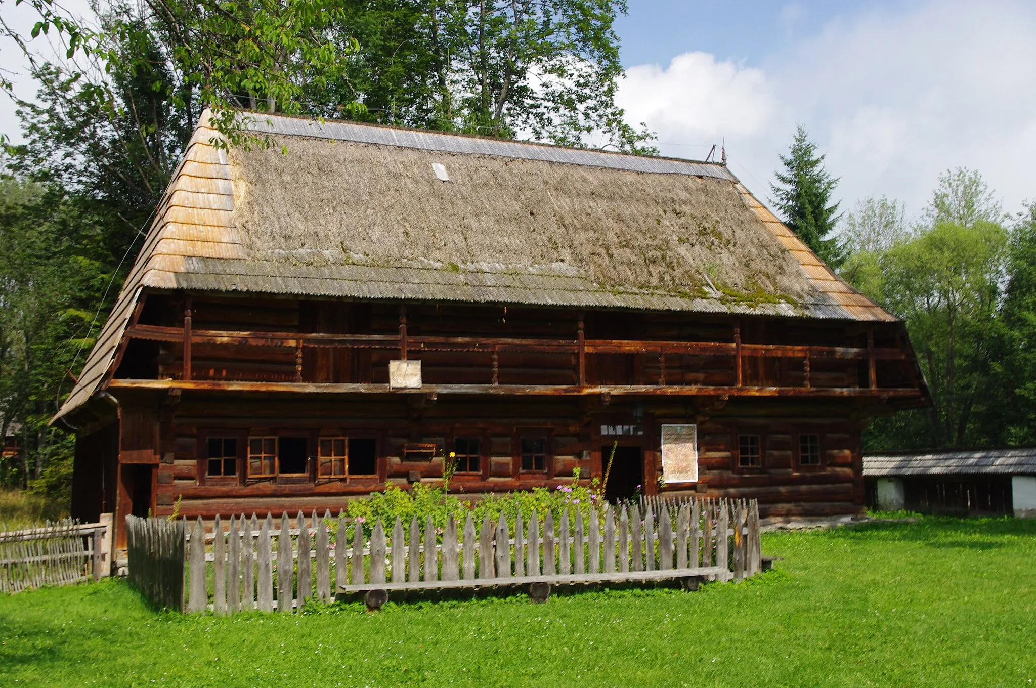
Oravské VeseléVillageOravské Veselé is a charming village known for its old wooden houses and peaceful atmosphere.
51 km
51 km
Rozhľadňa TrchovnicaViewpointRozhľadňa Trchovnica offers unobstructed views of the Orava region, blending natural beauty and historical significance.
53 km
53 km
Slaná VodaHamletSlaná Voda is a hidden gem with its enchanting forest and picturesque lake.
70 km
70 km
Zubrzyca GórnaVillageZubrzyca Górna is a small village nestled in the heart of nature and abundant tranquility.
73 km
73 km
Przełęcz Nad Wąwozem775 mMountain PassPrzełęcz Nad Wąwozem features breathtaking views of the wonderful landscapes of the Orava region.
81 km
81 km
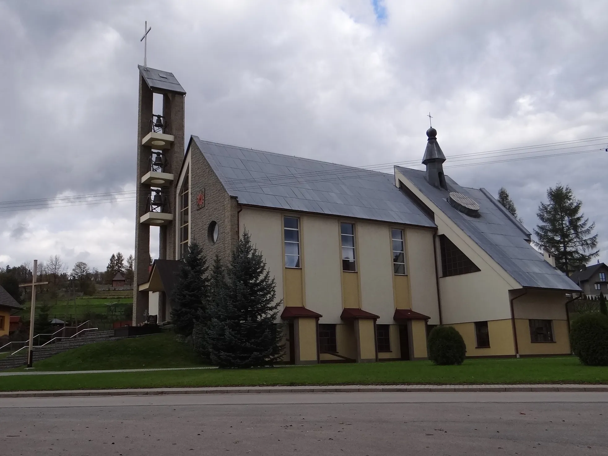
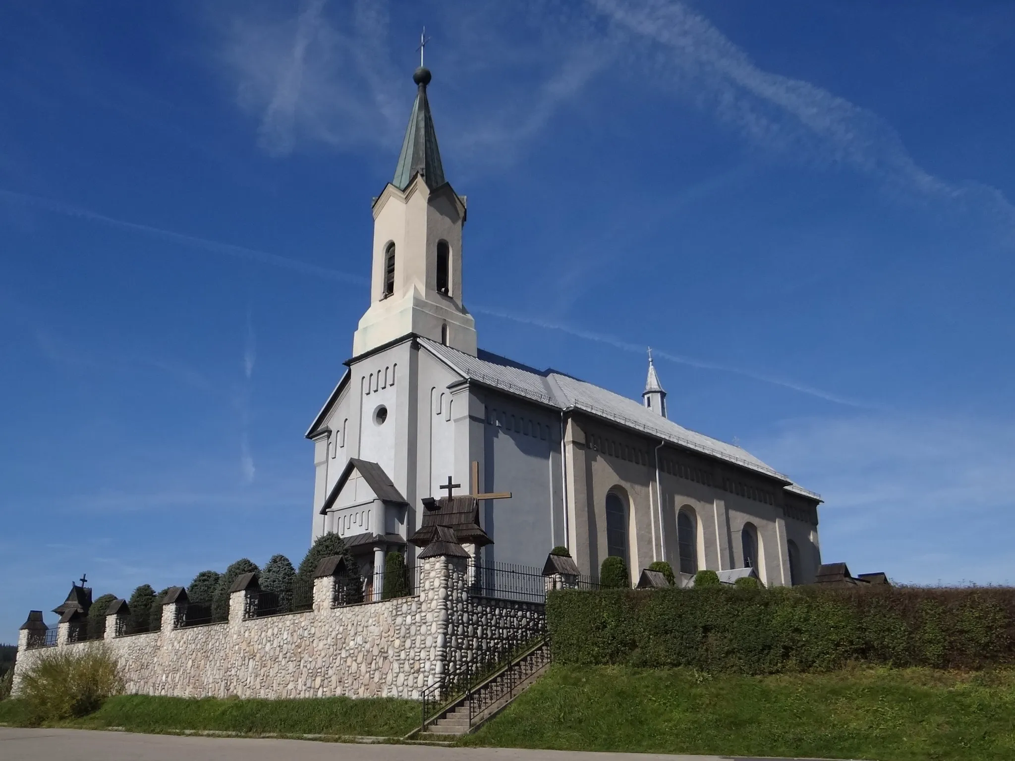
Podwilk KościółShelterPodwilk Kościół is a historic church adorned with beautiful architectural details.
82 km
82 km
Nowoć740 mPeakNowoć is a charming village known for its picturesque rural landscapes and quaint charm.
82 km
82 km
Finish: Podwilk Village centerPodwilk: Idyllic Cycling in Podwilk
Cycling routes nearby: