Pilsko Challenge
A road cycling route starting from Podwilk
Embark on an epic cycling adventure to conquer the famous Pilsko mountain.
Map
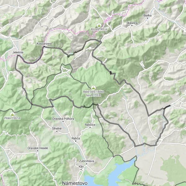
This challenging road cycling route starting near Podwilk takes you on an exhilarating journey to conquer the famous Pilsko mountain. With a distance of 104 kilometers and an ascent of 1676 meters, this route offers a true test of endurance and willpower. Highlights include Przełęcz Glinne, a mountain pass with stunning views of the surrounding peaks, and Zakopaniec, a picturesque village nestled at the foot of the Western Beskids. The difficulty of this route is rated 5 out of 5, suitable for highly trained cyclists with experience in climbing mountains. In terms of epicness, it scores a solid 4 out of 5, promising an unforgettable adventure amidst breathtaking scenery.
road
104 km
1676 m
Savage
Route profile
Highlights on the route
0 km
0 km
Start: Podwilk Village centerPodwilk: Idyllic Cycling in Podwilk
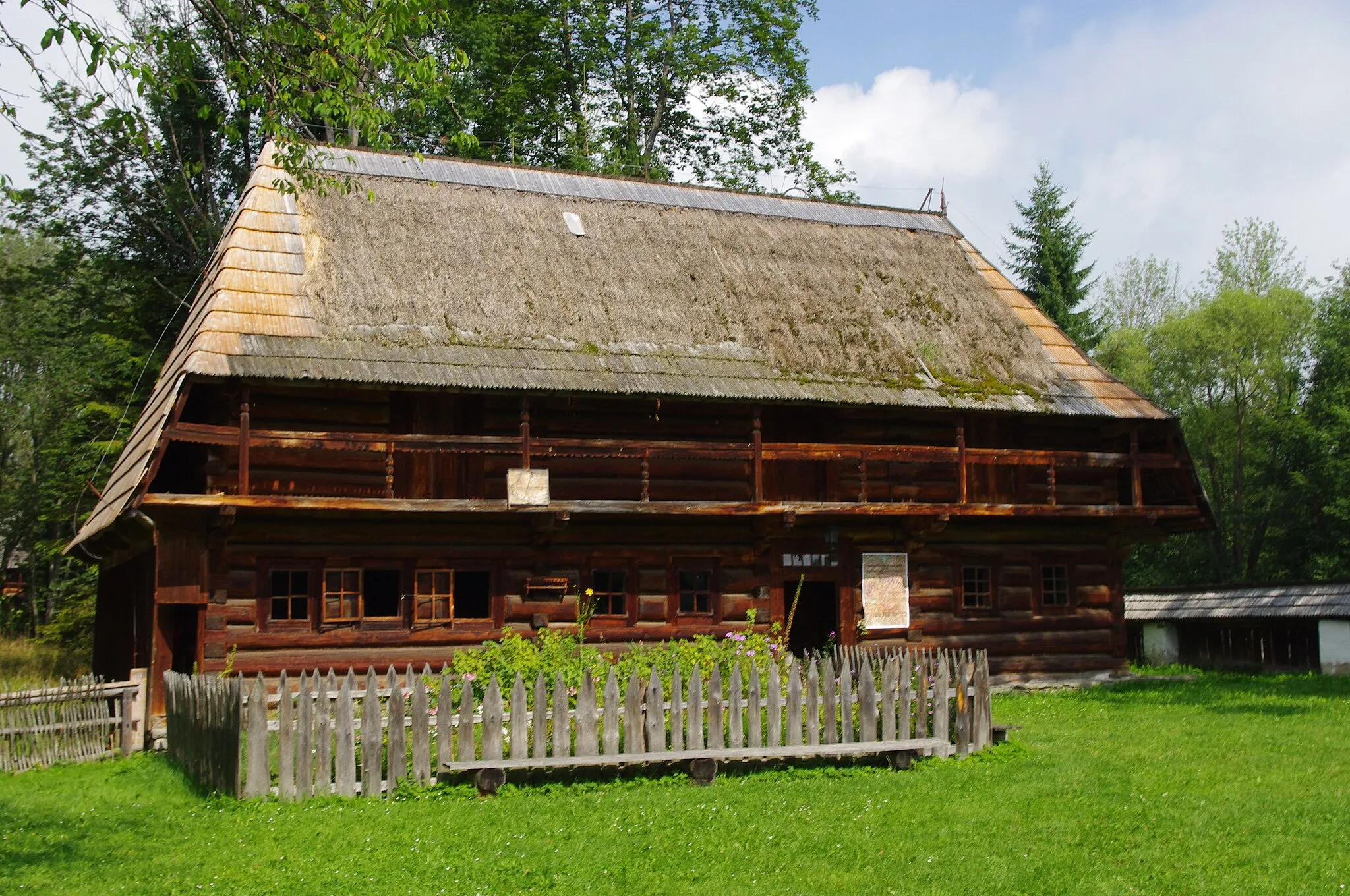
Podwilk is a delightful locality situated in the Małopolskie region of Poland. From a cyclist's perspective, it offers a mix of quaint villages, open fields, and rolling hills, providing an enjoyable road and gravel cycling experience. Cyclists can discover charming routes through the countryside, taking in the scenic vistas along the way. Not far from Podwilk, cyclists can test their skills on the famous climb to Stępinka Mountains, known for its challenging gradients and rewarding views. With its idyllic surroundings and cycling opportunities, Podwilk is a great choice for leisurely rides and challenging climbs.3 km
3 km
Dział707 mPeakDział is a small village surrounded by dense forests, offering a peaceful and serene atmosphere.
25 km
25 km
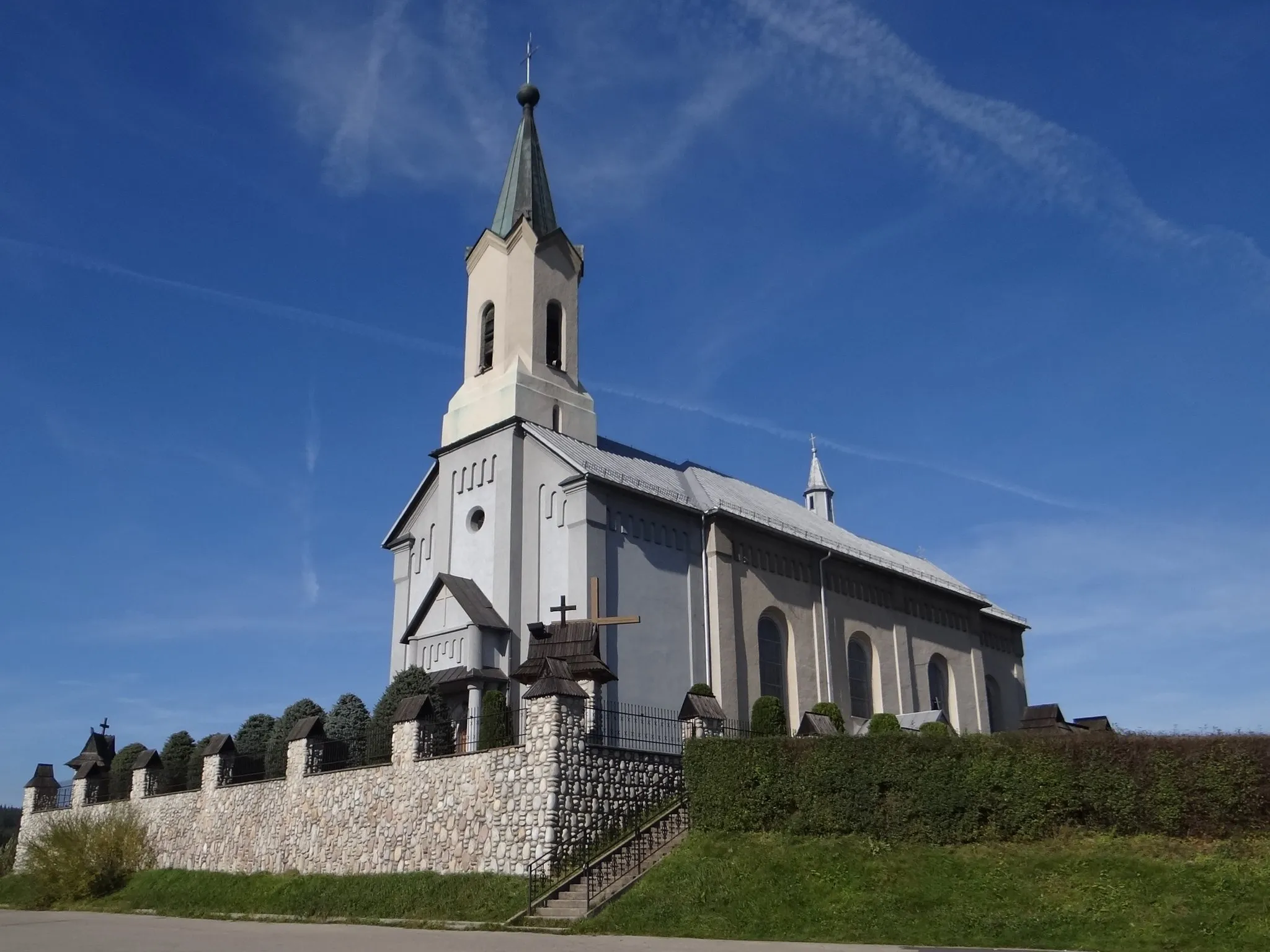
StańcowaHamletStańcowa is a village located on the slopes of the Skawa River valley, with panoramic views of the surrounding mountains.
26 km
26 km
Stańcowe Siodło907 mMountain PassStańcowe Siodło is a mountain pass connecting two scenic valleys, providing a challenging climb and rewarding views.
43 km
43 km
Przełęcz Glinne, PilskoViewpointPrzełęcz Glinne, also known as Pilsko Pass, is a popular spot among cyclists and hikers, offering spectacular views of the mountain ranges.
49 km
49 km
Krzyżowa723 mVillageKrzyżowa is a significant mountain pass known for its historical importance and panoramic vistas.
65 km
65 km
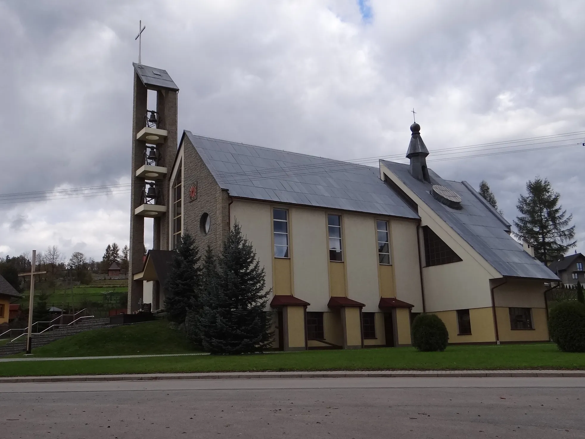
BystraHamletBystra is a charming village located in the Orava Valley, offering beautiful landscapes and traditional wooden architecture.
68 km
68 km
Przełęcz Klekociny894 mMountain PassPrzełęcz Klekociny is a mountain pass situated in the picturesque Gorce Mountain, providing breathtaking views of the surrounding countryside.
77 km
77 km
ZakopaniecHamletZakopaniec is a village renowned for its natural beauty and outdoor activities, including hiking and cycling.
87 km
87 km
Przełęcz Krowiarki1010 mMountain PassPrzełęcz Krowiarki is a mountain pass connecting the Orava Valley and Silesian Beskids, offering stunning views and challenging terrain.
98 km
98 km
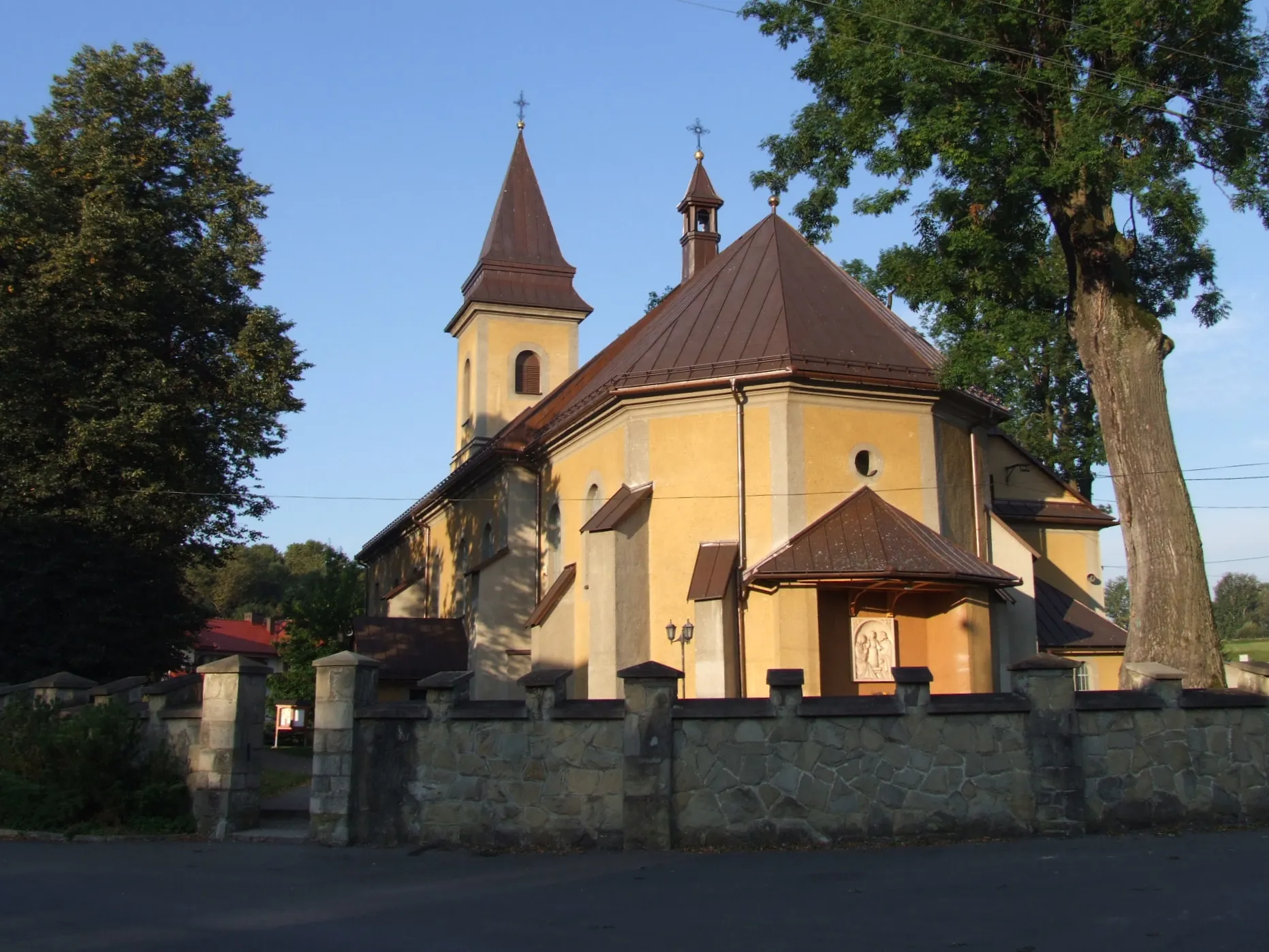
Zubrzyca DolnaVillageZubrzyca Dolna is a charming village surrounded by rolling hills and picturesque countryside, ideal for outdoor enthusiasts.
104 km
104 km
Finish: Podwilk Village centerPodwilk: Idyllic Cycling in Podwilk
Cycling routes nearby: