Estômbar - Monchique - Estômbar
A road cycling route starting from Estombar
Explore the scenic route from Estômbar to Monchique!
Map
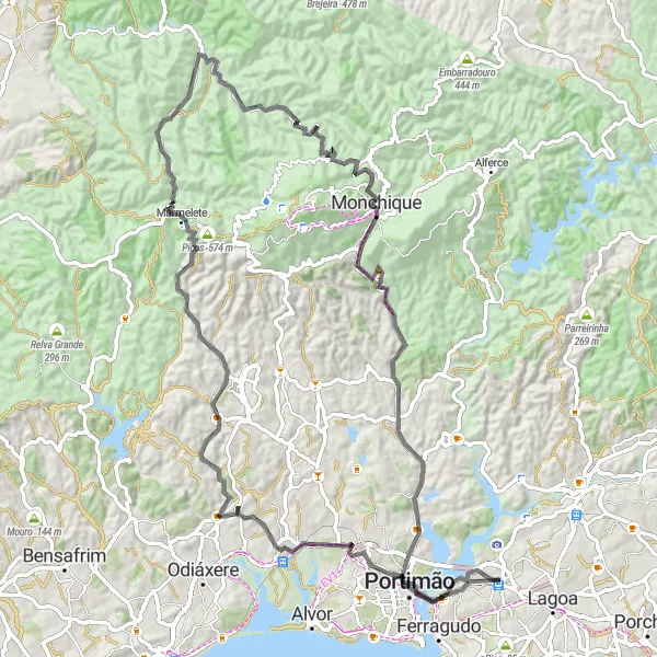
This round-trip cycling route starting from Estômbar takes you through beautiful landscapes and challenging terrains. With a total distance of 101km and an ascent of 1571m, this road route is suitable for experienced cyclists. The highlight of this route includes stopping by the historic Pelourinho de Monchique, located at a distance of 69km. This route is rated 4 in difficulty and 3 in epicness.
road
101 km
1571 m
Tough
Route profile
Highlights on the route
0 km
0 km
Start: Estômbar City centerEstômbar: Picturesque Cycling Routes in the Algarve with Alto de Foia
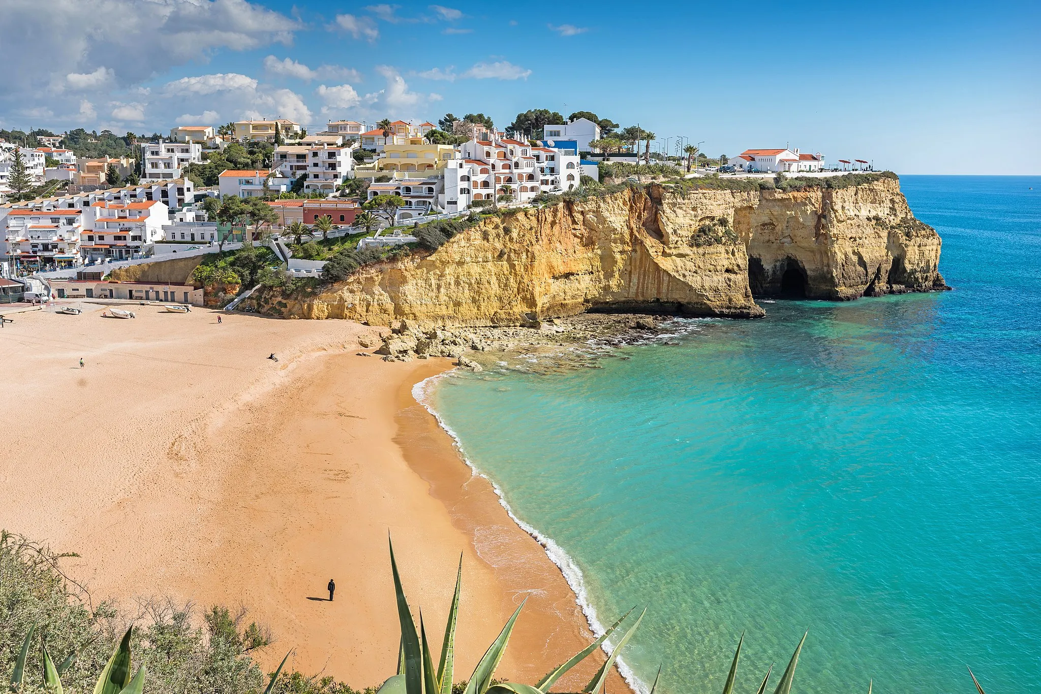
Estômbar, located in the Algarve region of Portugal, offers a unique cycling experience for both road and gravel cyclists. With its stunning coastal routes and scenic landscapes, Estômbar provides a picturesque backdrop for cyclists. The locality is famous for its challenging climbs, including Alto de Foia, a legendary ascent that has been part of the Volta ao Algarve route. Road cycling enthusiasts will particularly enjoy exploring the winding coastal roads while taking in the beauty of Estômbar.0 km
0 km
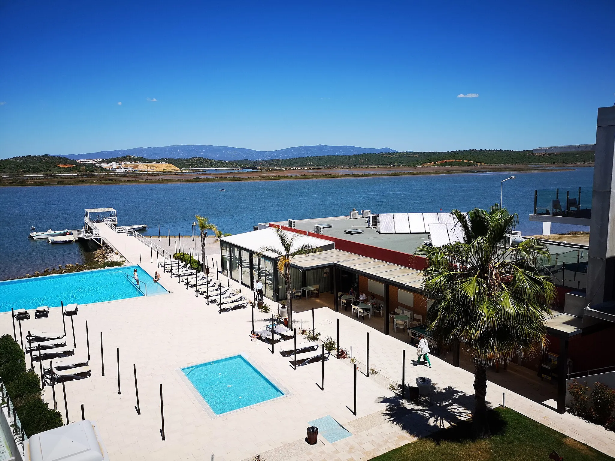
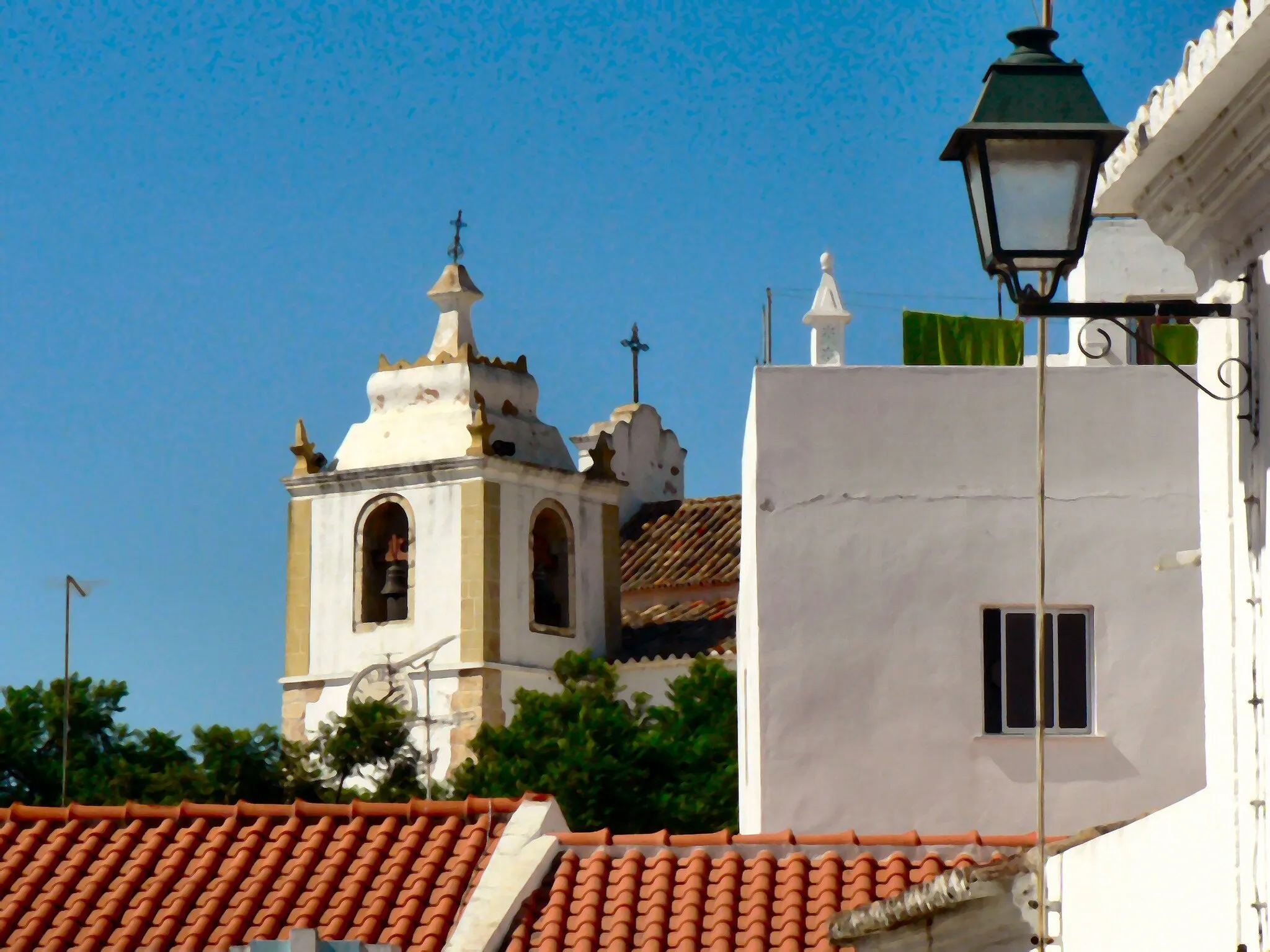
EstômbarTownMake sure to stop by Estômbar, where your cycling journey begins.
17 km
17 km
Moita Ladrões111 mPeakExperience the tranquility of Moita Ladrões as you cycle past it at the 17km mark.
37 km
37 km
Picos574 mPeakEnjoy the scenic views of Picos, located at a distance of 37km.
38 km
38 km
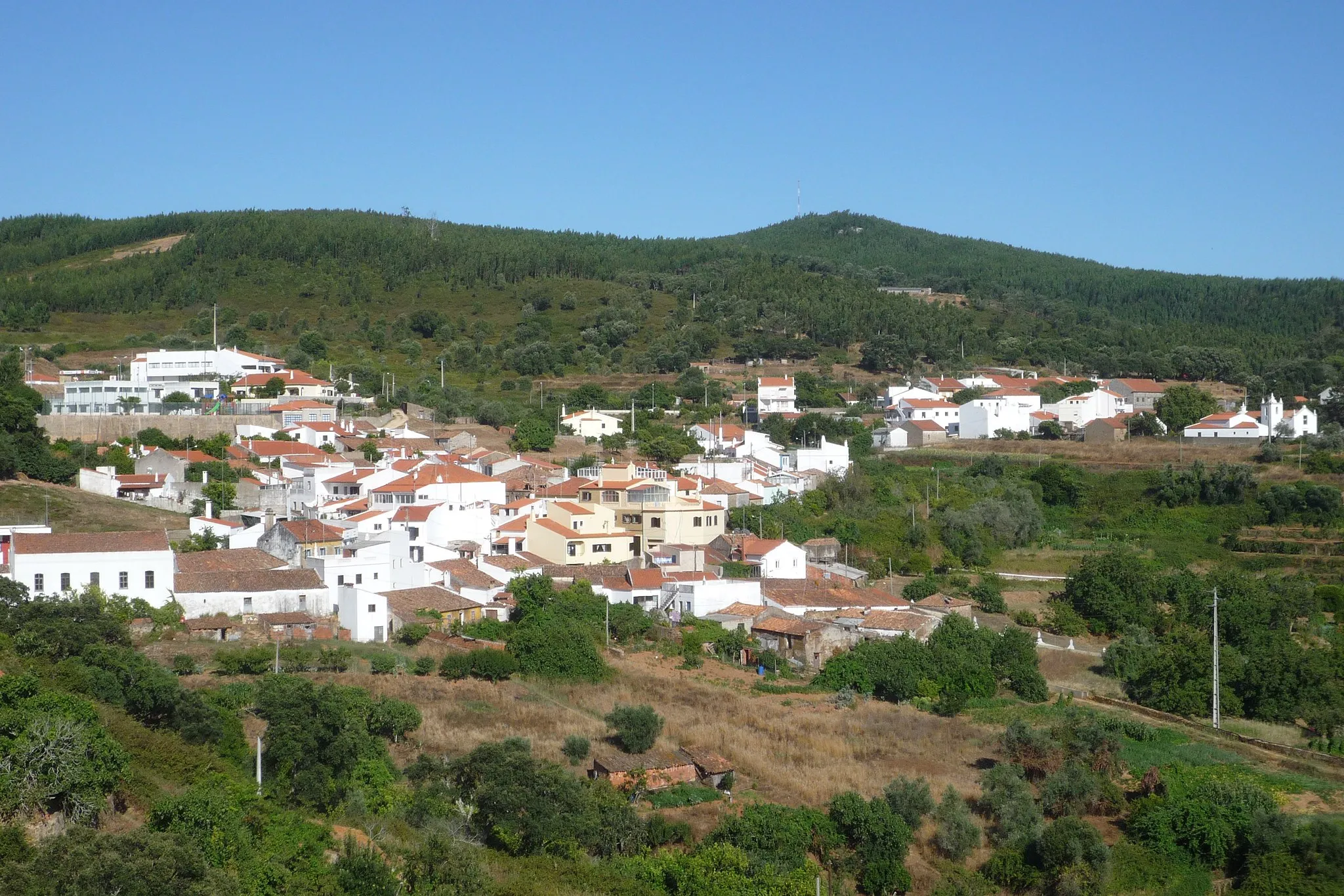
MarmeleteVillageAppreciate the natural beauty of Marmelete as you cycle through it at the 38km mark.
69 km
69 km
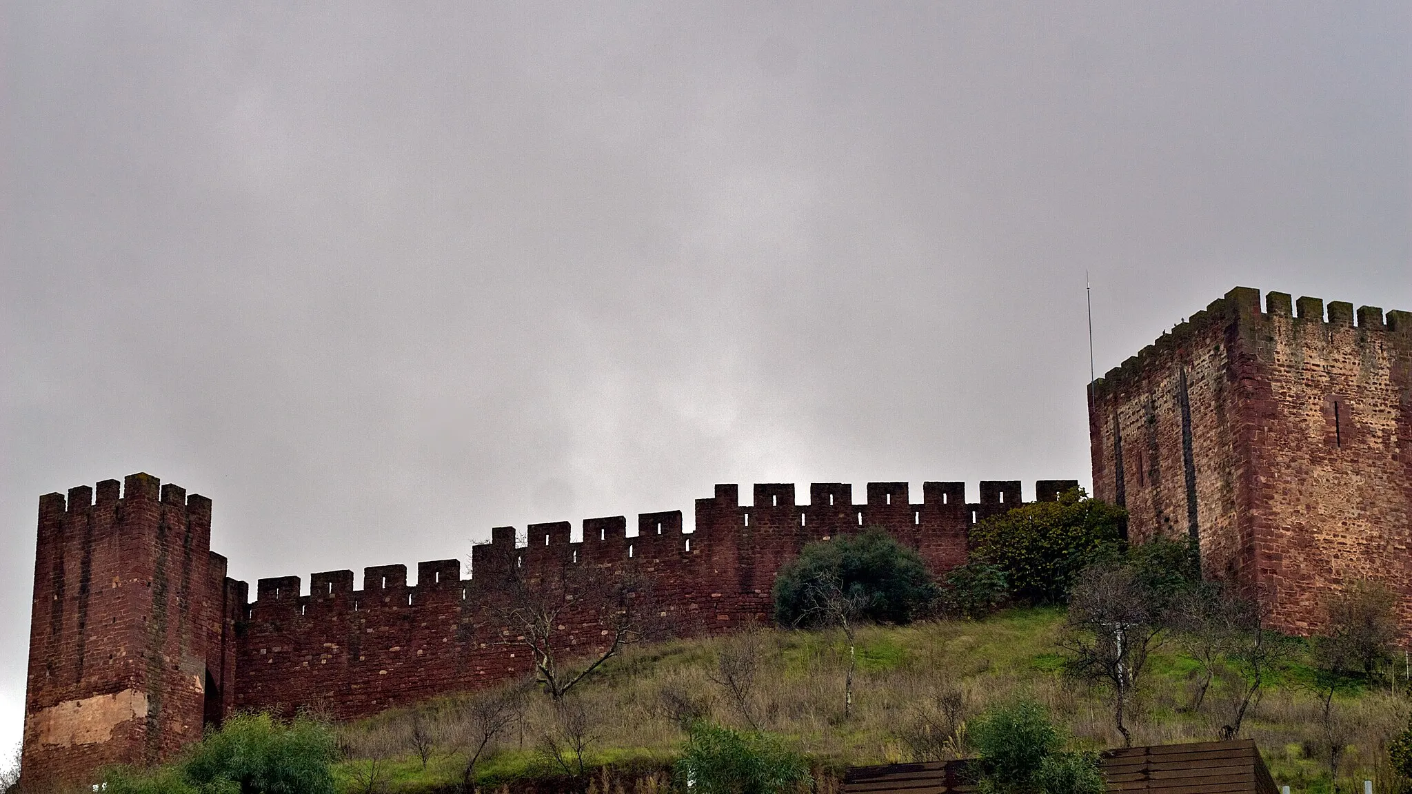
Pelourinho de MonchiqueAttractionDiscover the historic Pelourinho de Monchique, a symbol of local heritage, located at a distance of 69km.
80 km
80 km
Vale de Boi157 mPeakPass through Vale de Boi and admire its picturesque surroundings at the 80km mark.
96 km
96 km
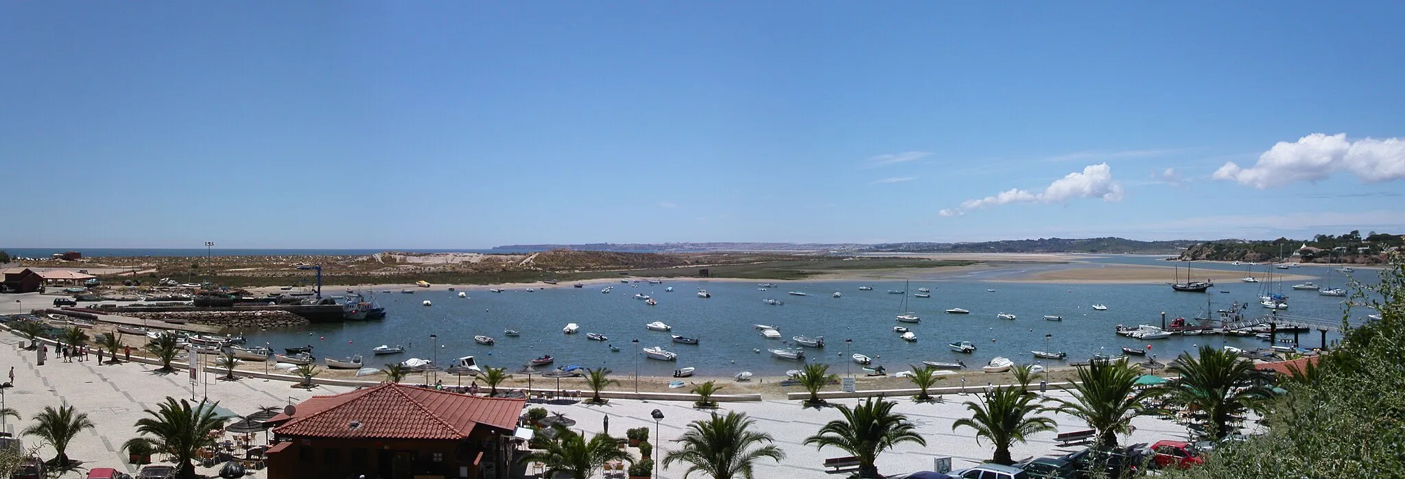
ParchalTownStop by Parchal on your way back to Estômbar and take in the beautiful riverside views at the 96km mark.
101 km
101 km
Finish: Estômbar City centerEstômbar: Picturesque Cycling Routes in the Algarve with Alto de Foia
Cycling routes from Estombar:
Cycling routes nearby: