Estômbar - Odiáxere - Ponta da Piedade - Estômbar
A road cycling route starting from Estombar
Embark on a coastal road adventure from Estômbar to Odiáxere and Ponta da Piedade!
Map
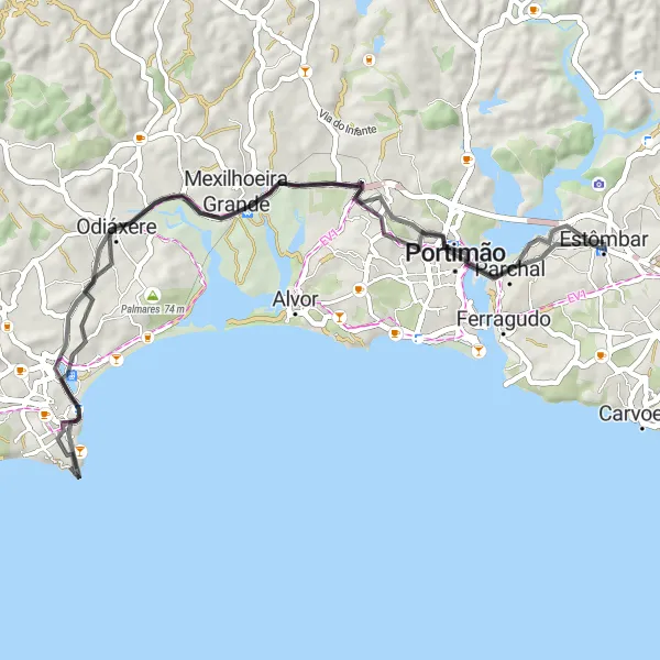
This round-trip road cycling route starting from Estômbar offers a unique exploration of the coastal beauty. With a total distance of 59km and an ascent of 451m, this route is suitable for riders who enjoy scenic coastal views. The highlight of this route includes visiting the historic Forte da Bandeira, located at a distance of 32km. This route is rated 2 in difficulty and 3 in epicness.
road
59 km
451 m
Chill
Route profile
Highlights on the route
0 km
0 km
Start: Estômbar City centerEstômbar: Picturesque Cycling Routes in the Algarve with Alto de Foia
Estômbar, located in the Algarve region of Portugal, offers a unique cycling experience for both road and gravel cyclists. With its stunning coastal routes and scenic landscapes, Estômbar provides a picturesque backdrop for cyclists. The locality is famous for its challenging climbs, including Alto de Foia, a legendary ascent that has been part of the Volta ao Algarve route. Road cycling enthusiasts will particularly enjoy exploring the winding coastal roads while taking in the beauty of Estômbar.0 km
0 km
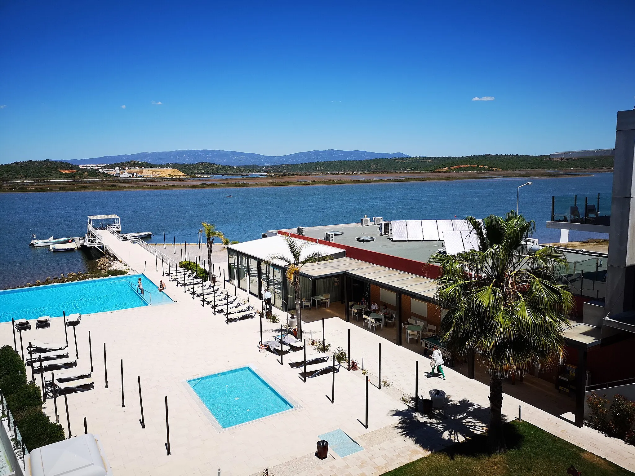
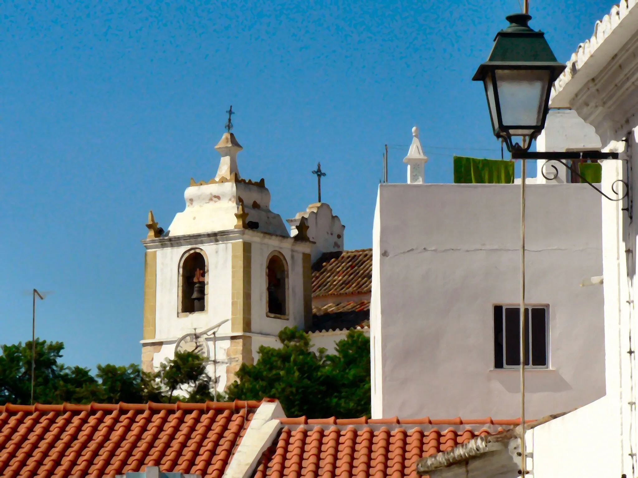
EstômbarTownBegin your coastal road adventure from Estômbar and soak in the beautiful surroundings.
19 km
19 km
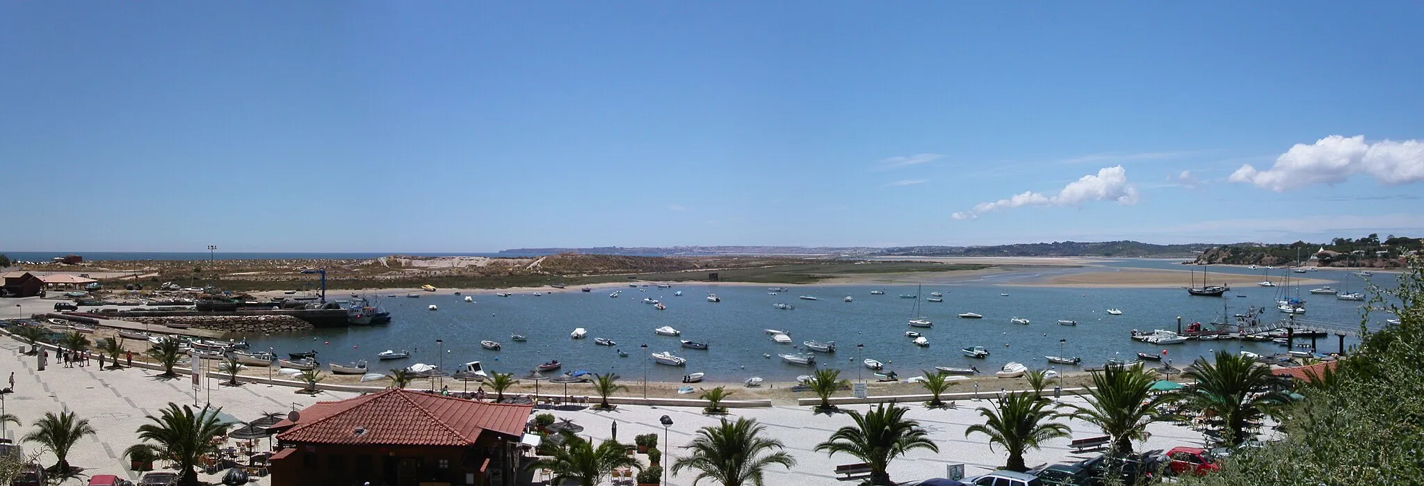
OdiáxereTownCycle through the charming village of Odiáxere and discover its local flavor at the 19km mark.
29 km
29 km
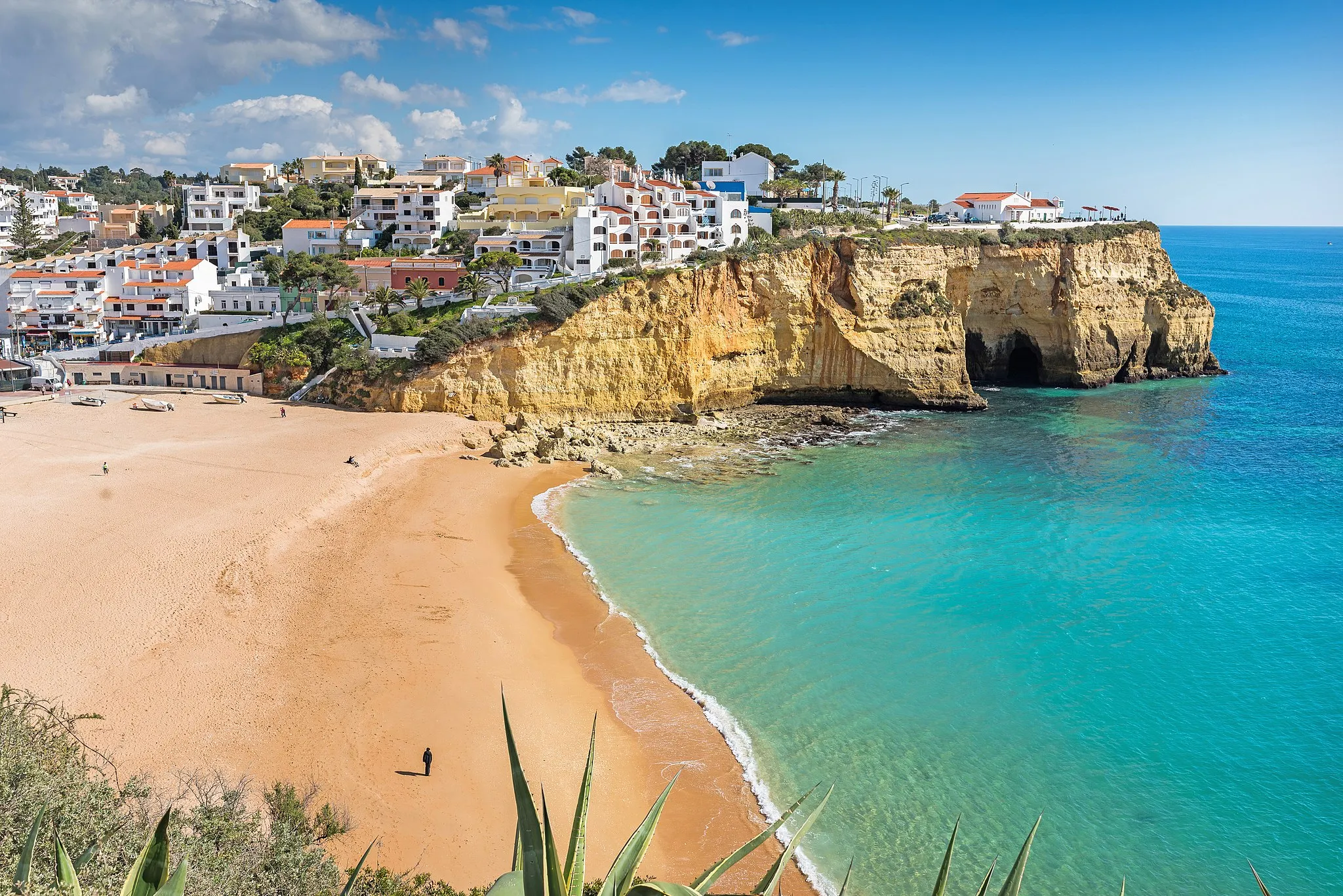
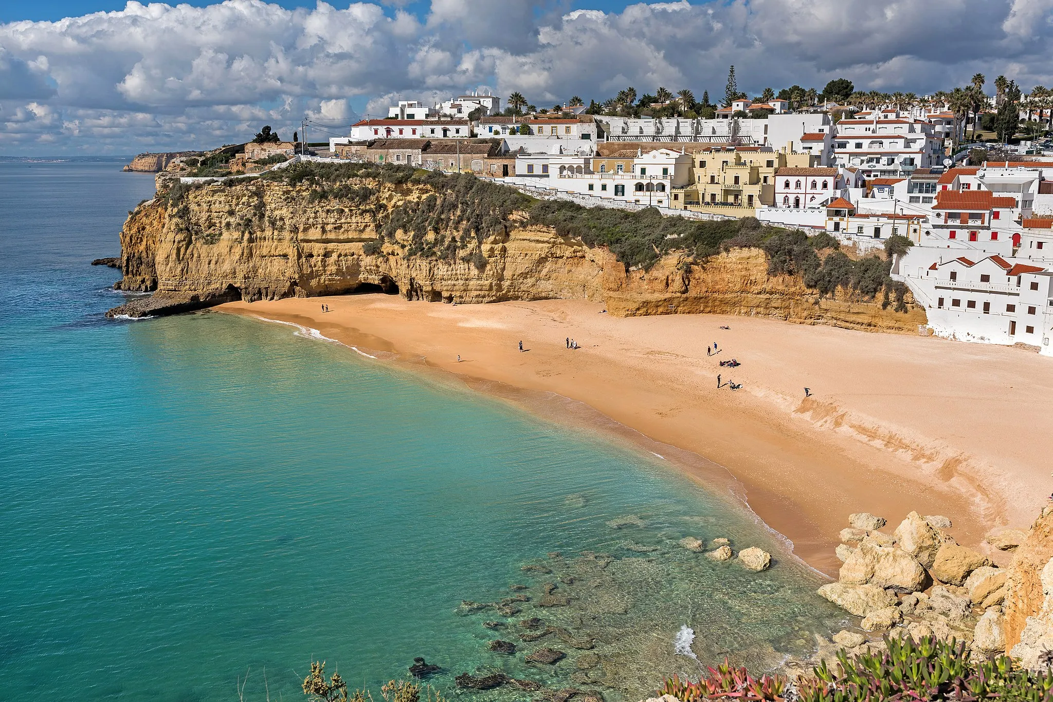
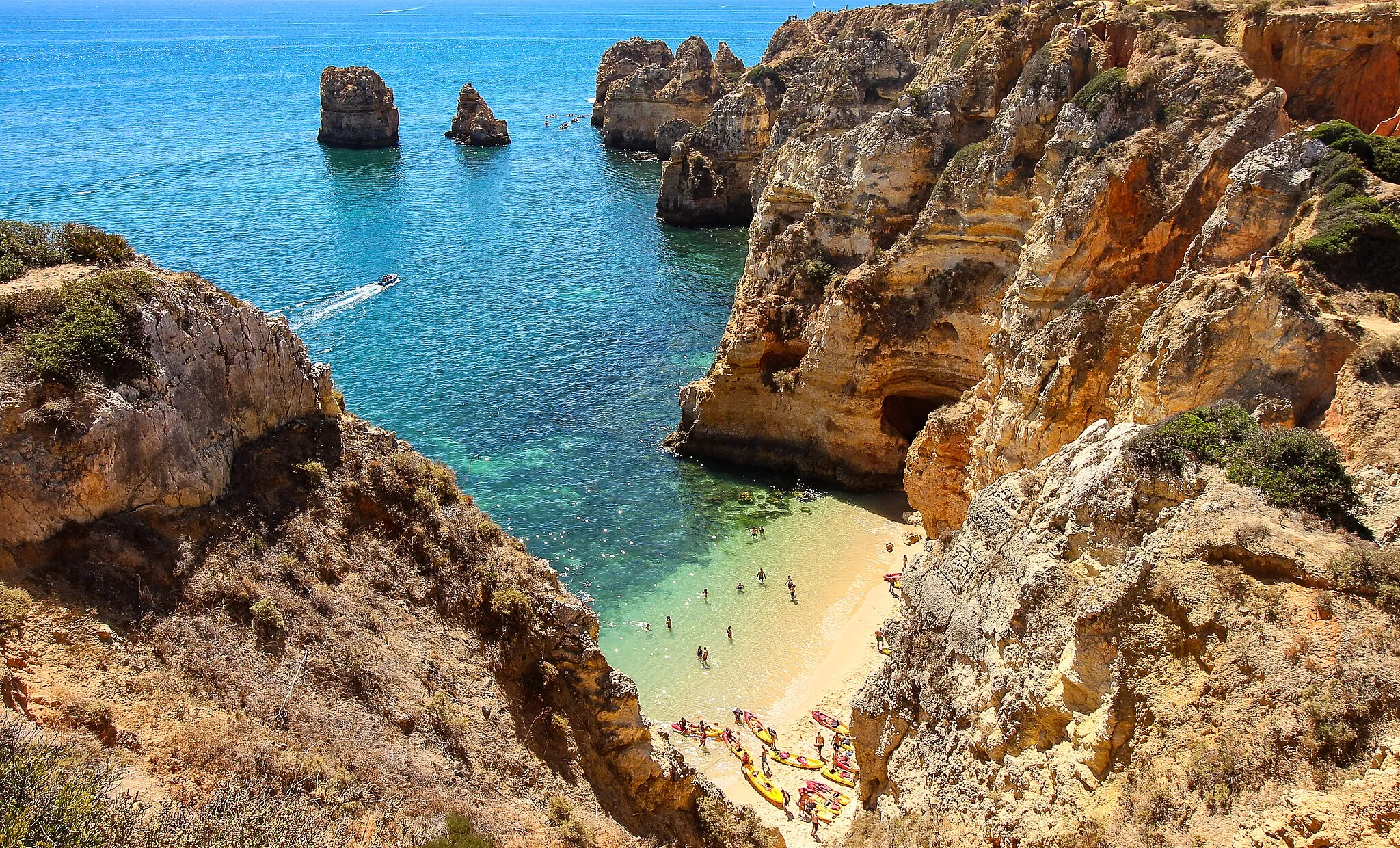
Ponta da PiedadeViewpointMake a stop at Ponta da Piedade and marvel at its stunning cliffsides and turquoise waters at the 29km mark.
32 km
32 km
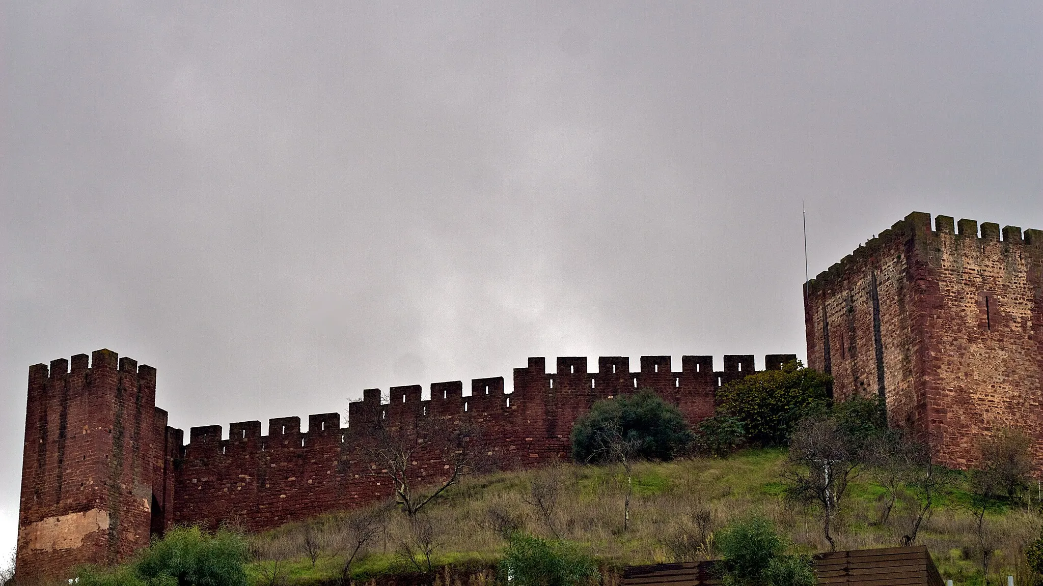
Forte da BandeiraCastleExplore the historic Forte da Bandeira that overlooks the coastline, located at a distance of 32km.
44 km
44 km
Estação Romana da Quinta da AbicadaAttractionTake a break at the Estação Romana da Quinta da Abicada, known for its archaeological significance, at the 44km mark.
54 km
54 km
ParchalTownAs you head back to Estômbar, enjoy the views along the river in Parchal at the 54km mark.
59 km
59 km
Finish: Estômbar City centerEstômbar: Picturesque Cycling Routes in the Algarve with Alto de Foia
Cycling routes from Estombar:
Cycling routes nearby: