Crna Bara Gravel Route
A gravel cycling route starting from Crna Bara
Experience the rugged beauty of Šumadije i Zapadne Srbije on this gravel cycling adventure.
Map
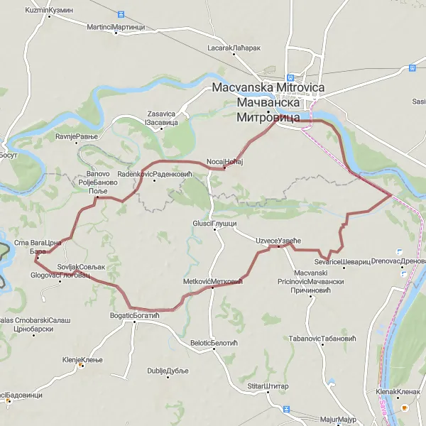
This 65 km gravel cycling route starts near Crna Bara and takes you through the stunning region of Šumadije i Zapadne Srbije. With a total ascent of 12 meters, this route is suitable for amateur cyclists looking for a moderate challenge. The route offers breathtaking views of the countryside and takes you through picturesque villages and lush green forests. Along the way, you'll encounter highlights such as Radenković, Nocaj, and Uzvece, which offer glimpses into the local culture and history. Don't miss the chance to stop by Savariver and Glogovac, two legendary spots that are not to be missed.
gravel
65 km
12 m
Tough
Route profile
Highlights on the route
0 km
0 km
Start: Црна Бара Village centerCrna Bara: Discover scenic countryside and tackle the challenging climbs of Avala Mountain.
Crna Bara, located in the region of Šumadije i Zapadne Srbije in Serbia, is a humble locality that can be enjoyable for road and gravel cyclists. The roads in the area are generally in decent condition and there are opportunities to explore the picturesque countryside. Nearby, cyclists can find the popular Avala Mountain, known for its breathtaking views and challenging climbs. Although it may not boast as many cycling amenities as some other destinations, Crna Bara provides an authentic and peaceful cycling experience.0 km
0 km
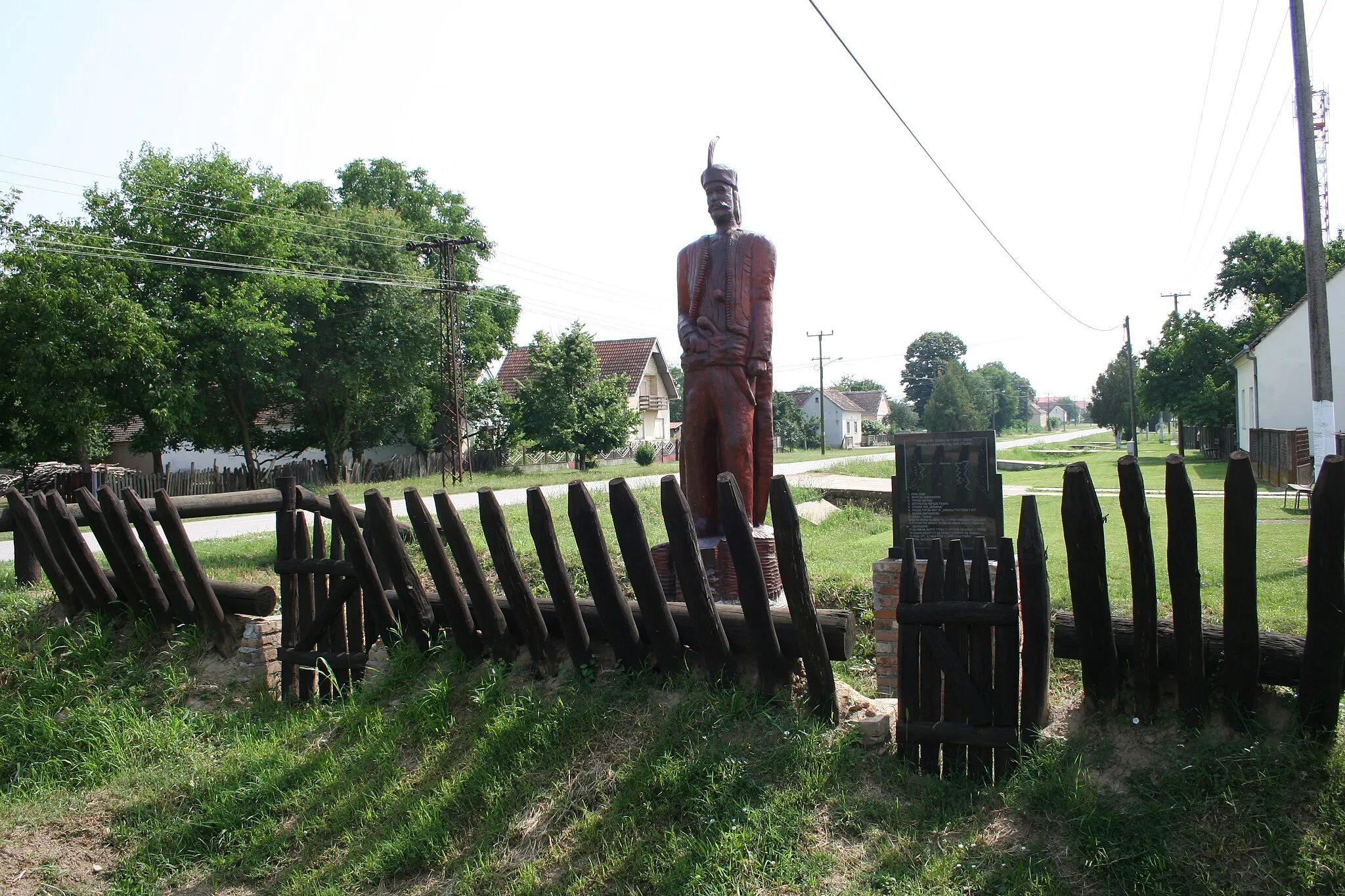
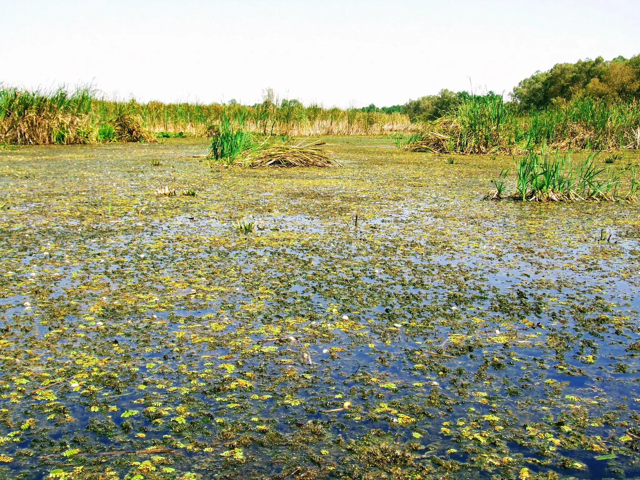
Crna BaraVillageCrna Bara is a small village known for its beautiful nature and diverse wildlife, making it a paradise for outdoor enthusiasts.
11 km
11 km
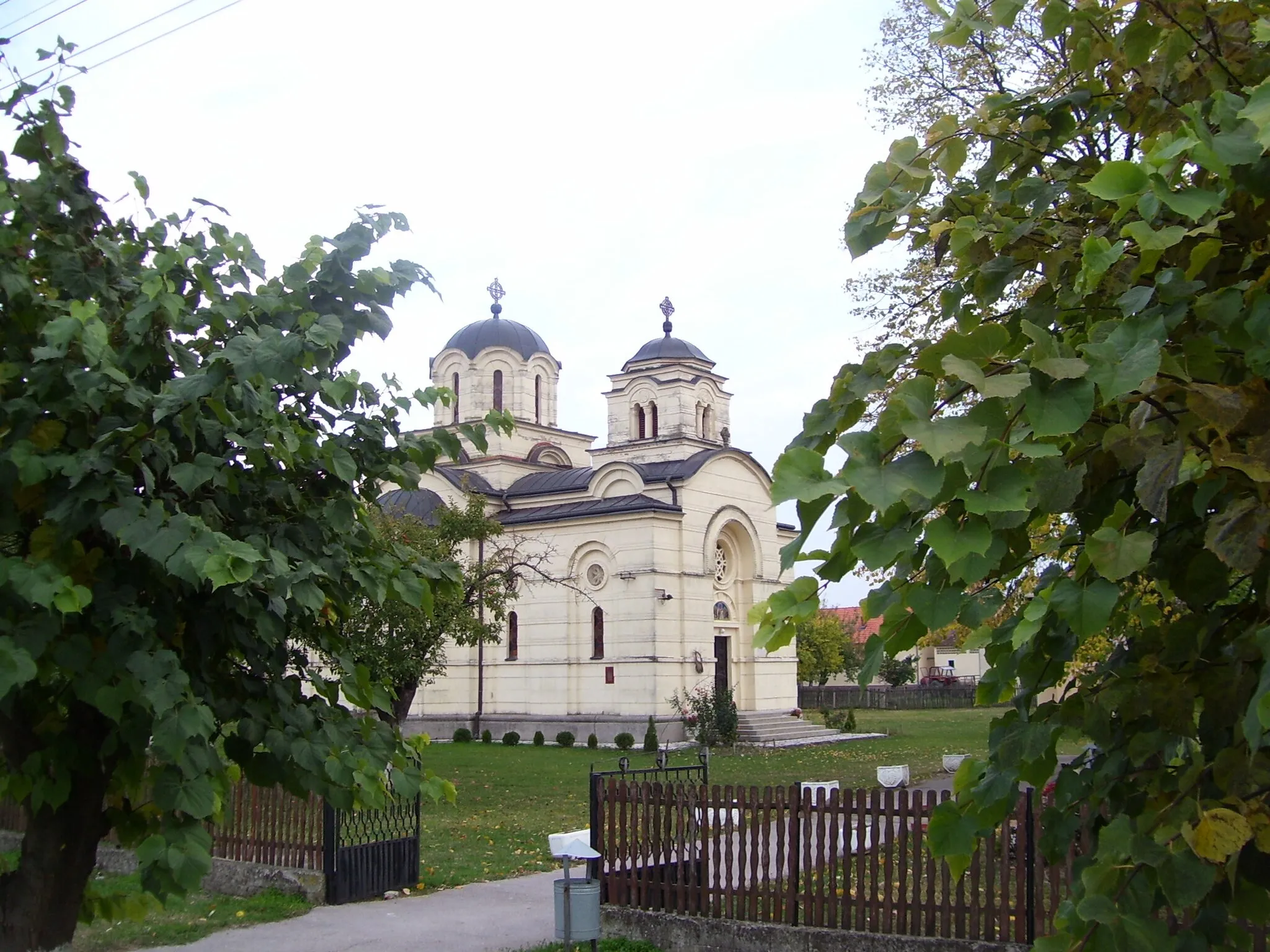
RadenkovicVillageRadenkovic is a charming village with traditional Croatian architecture and a rich history waiting to be discovered.
17 km
17 km
NocajVillageNocaj is famous for its Nocaj Cliff, offering stunning views of the surrounding landscape and the Vojvodina plain.
28 km
28 km
СаваLakeThe Sava River is Serbia's longest river and offers plenty of recreational activities, including boating and fishing.
44 km
44 km
UzveceVillageUzvece is a hidden gem, surrounded by dense forests and rolling hills, perfect for exploring on two wheels.
56 km
56 km
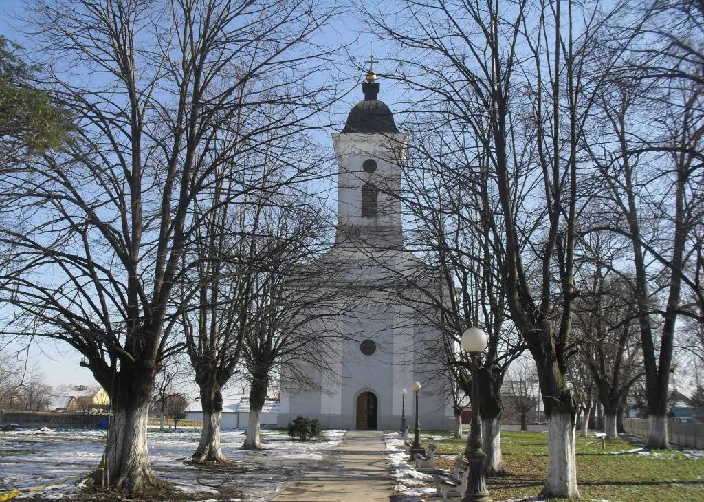
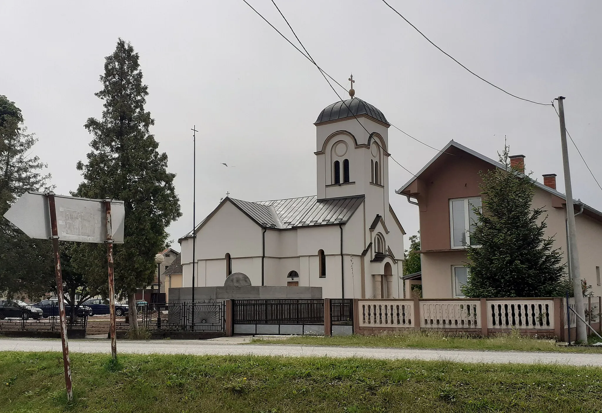
BogaticVillageBogatic is a historic town with traditional architecture and a relaxed atmosphere, making it the perfect spot to take a break.
62 km
62 km
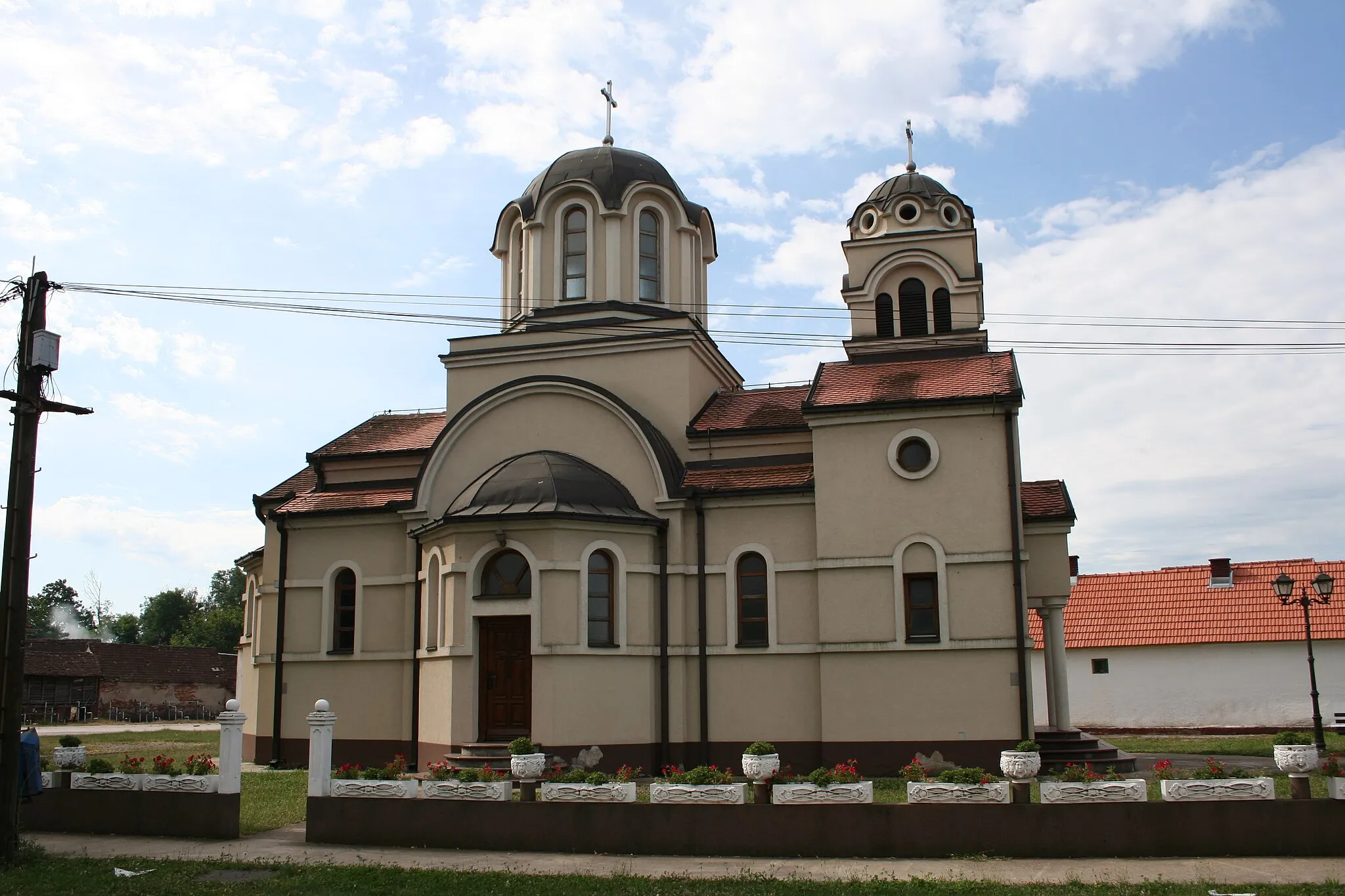
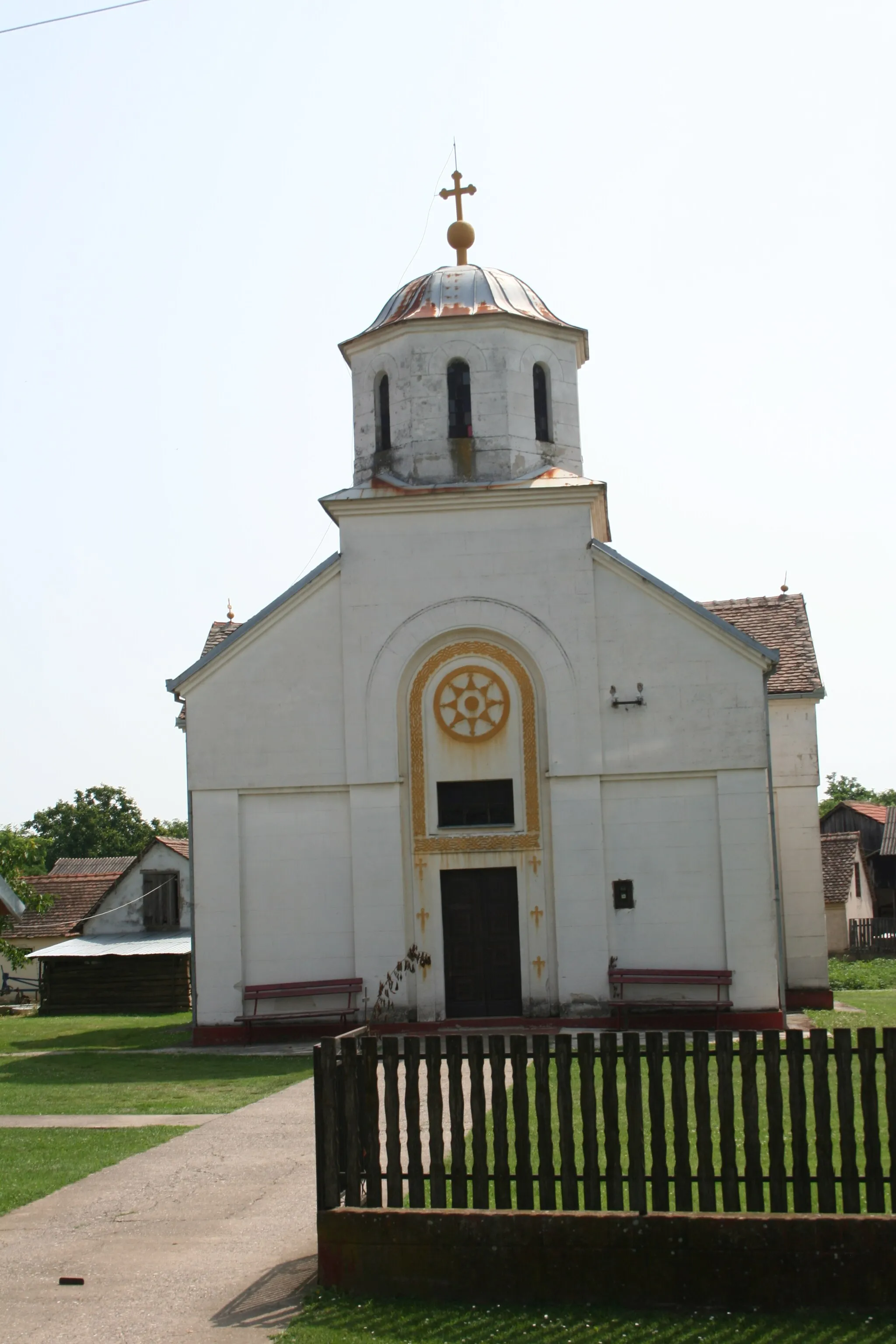
GlogovacVillageGlogovac is a quaint village known for its beautiful churches and traditional Serbian cuisine, offering a taste of the local culture.
65 km
65 km
Finish: Црна Бара Village centerCrna Bara: Discover scenic countryside and tackle the challenging climbs of Avala Mountain.
Cycling routes nearby: