Šumadija Countryside Road
A road cycling route starting from Crna Bara
Explore the rural charm of Šumadija region
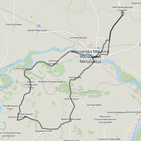
Map
Embark on a journey through the picturesque Šumadija countryside, where rolling hills and traditional villages await. This road route offers a perfect blend of peaceful landscapes and cultural heritage. With a moderate level of difficulty, it is suitable for experienced amateur cyclists. Discover highlights like Ravnje, a quaint village with traditional architecture, Zasavica II, a nature reserve rich in biodiversity, Veliki Radinci, home to historical landmarks, and Сирмијум, an ancient Roman city. The route culminates at Bogatic, where you can immerse yourself in the local hospitality and traditional cuisine.
road
81 km
66 m
Tough
Route profile
Highlights on the route
0 km
0 km
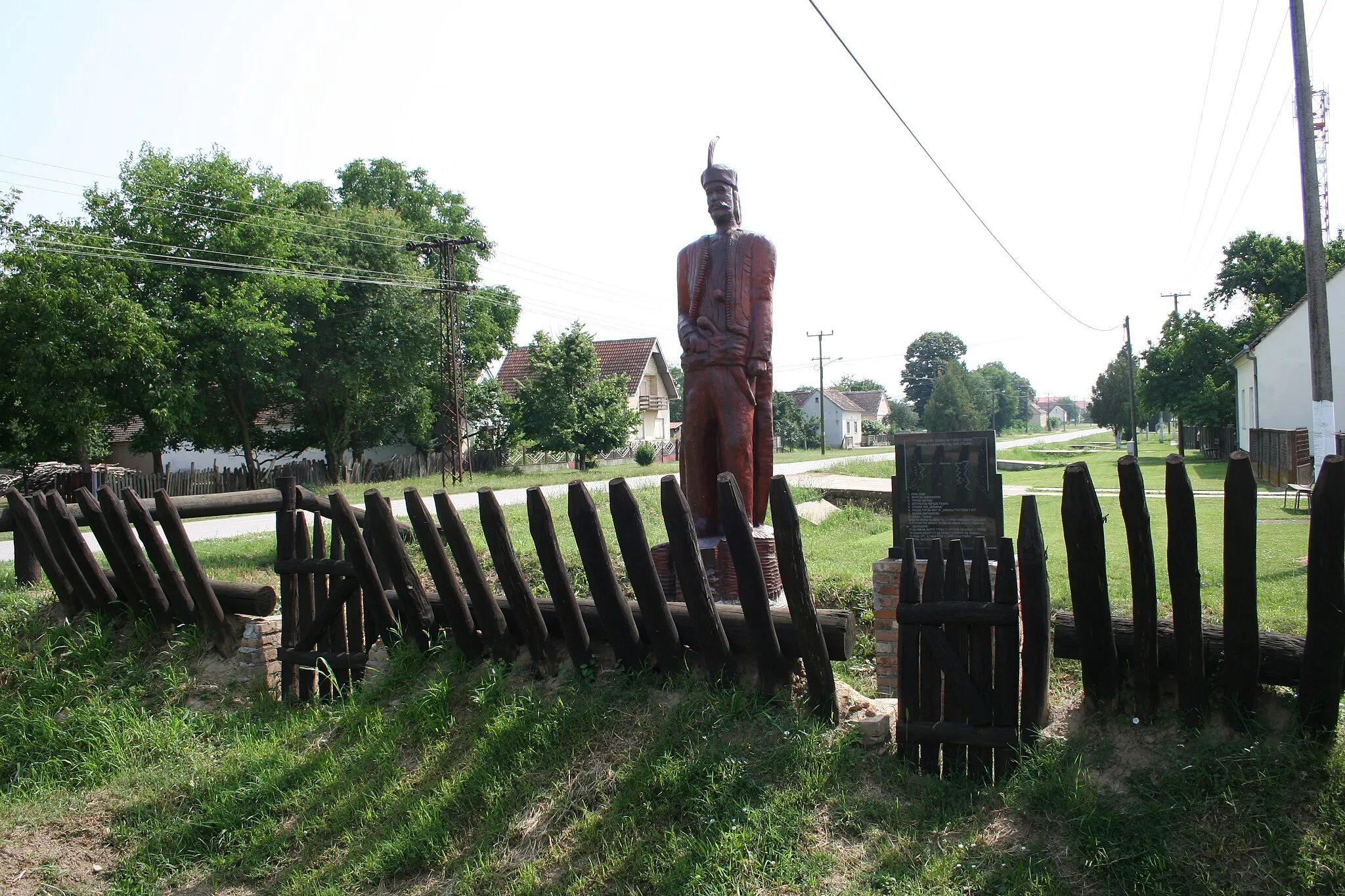
Start: Глоговац Village centerCrna Bara: Discover scenic countryside and tackle the challenging climbs of Avala Mountain.
Crna Bara, located in the region of Šumadije i Zapadne Srbije in Serbia, is a humble locality that can be enjoyable for road and gravel cyclists. The roads in the area are generally in decent condition and there are opportunities to explore the picturesque countryside. Nearby, cyclists can find the popular Avala Mountain, known for its breathtaking views and challenging climbs. Although it may not boast as many cycling amenities as some other destinations, Crna Bara provides an authentic and peaceful cycling experience.11 km
11 km
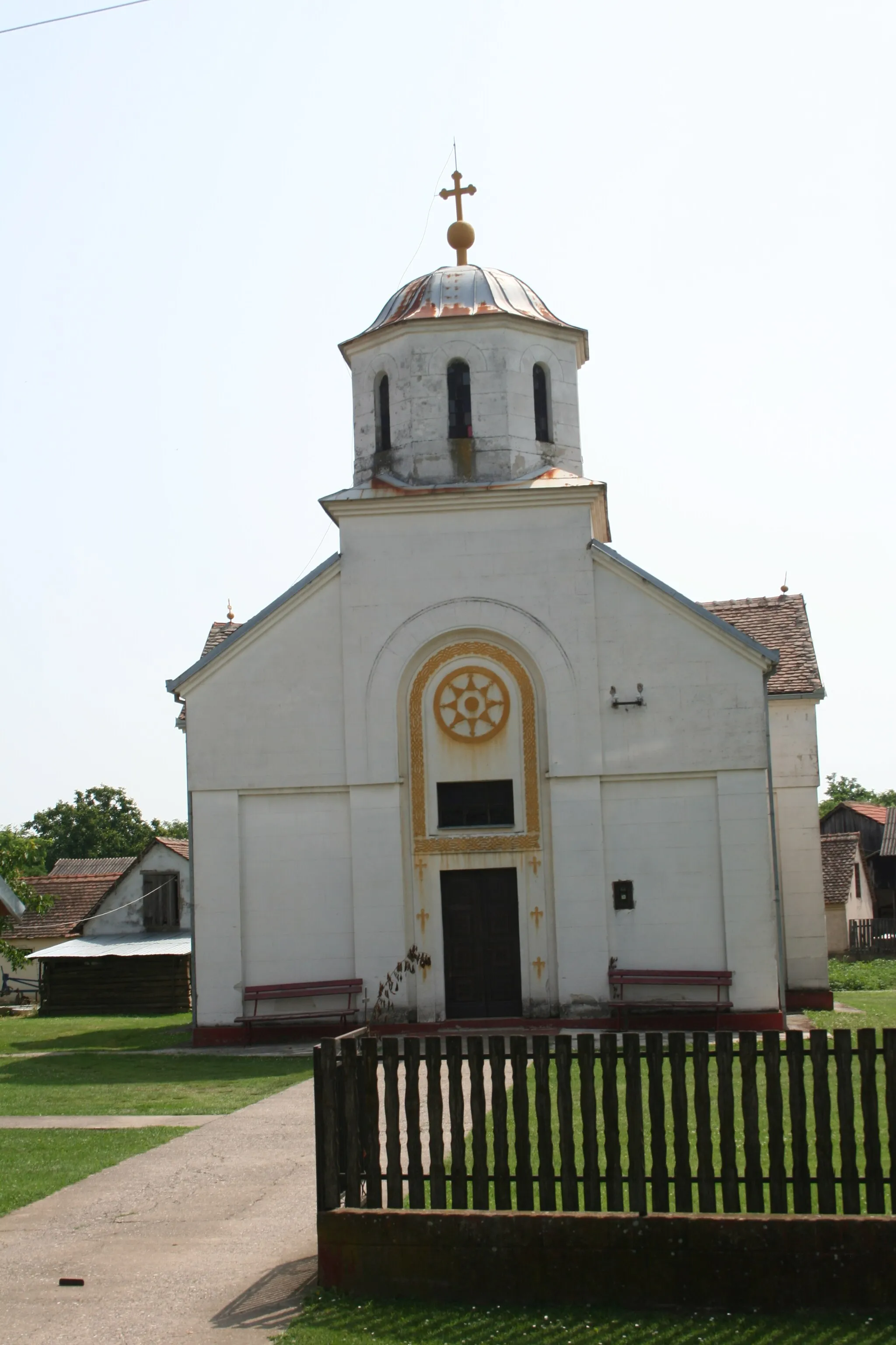
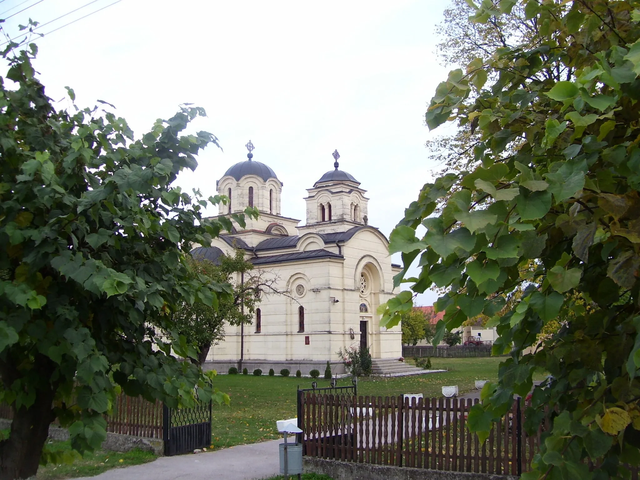
RavnjeVillageStop by Ravnje village to admire its well-preserved traditional houses and experience the hospitality of the locals.
21 km
21 km
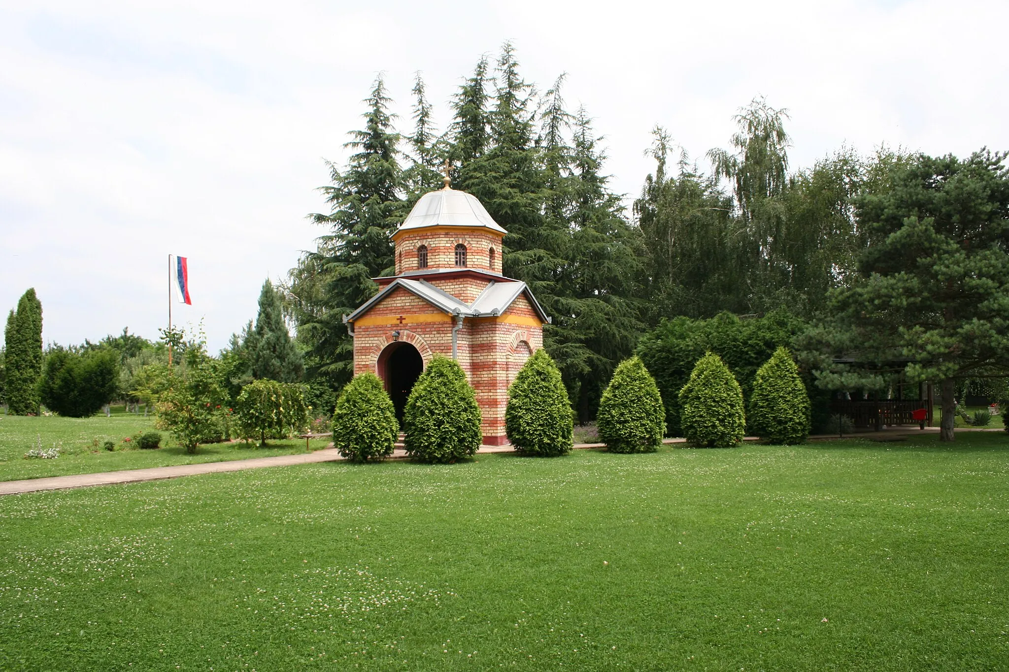
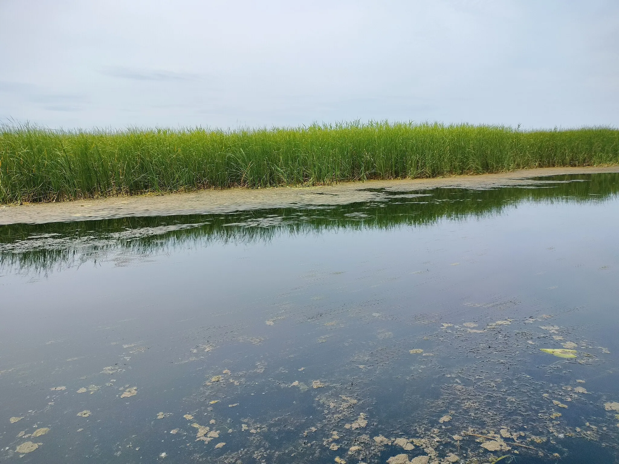
Zasavica IIVillageZasavica II is a nature reserve known for its wetlands, diverse bird species, and educational center where you can learn about the local ecosystem.
40 km
40 km
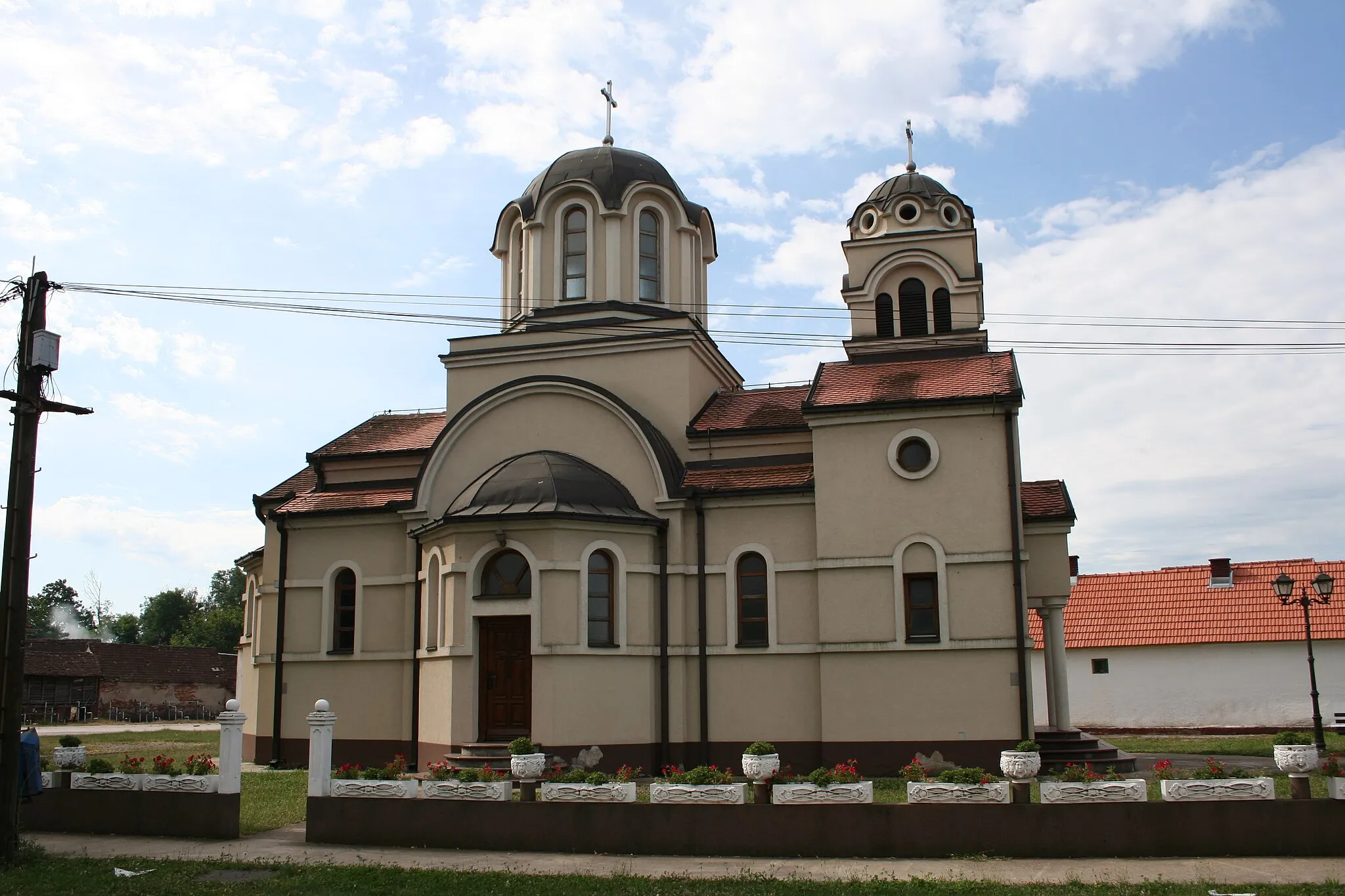
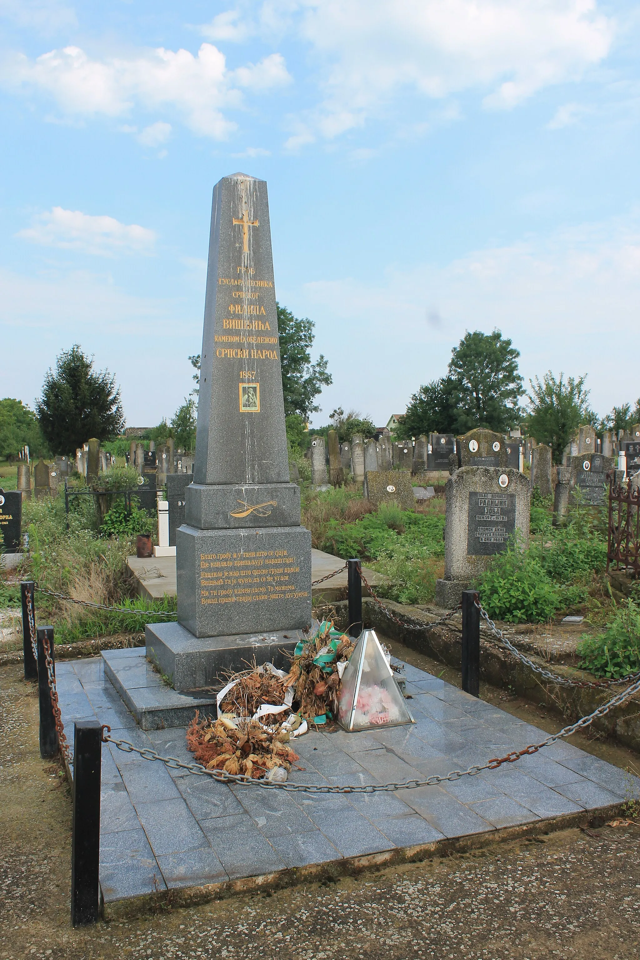
Veliki RadinciVillageExplore Veliki Radinci, an idyllic village with historical churches, traditional architecture, and charming streets.
50 km
50 km
СирмијумAttractionVisit Сирмијум, an archaeological site with the remains of an ancient Roman city, including a theater, baths, and villas.
74 km
74 km
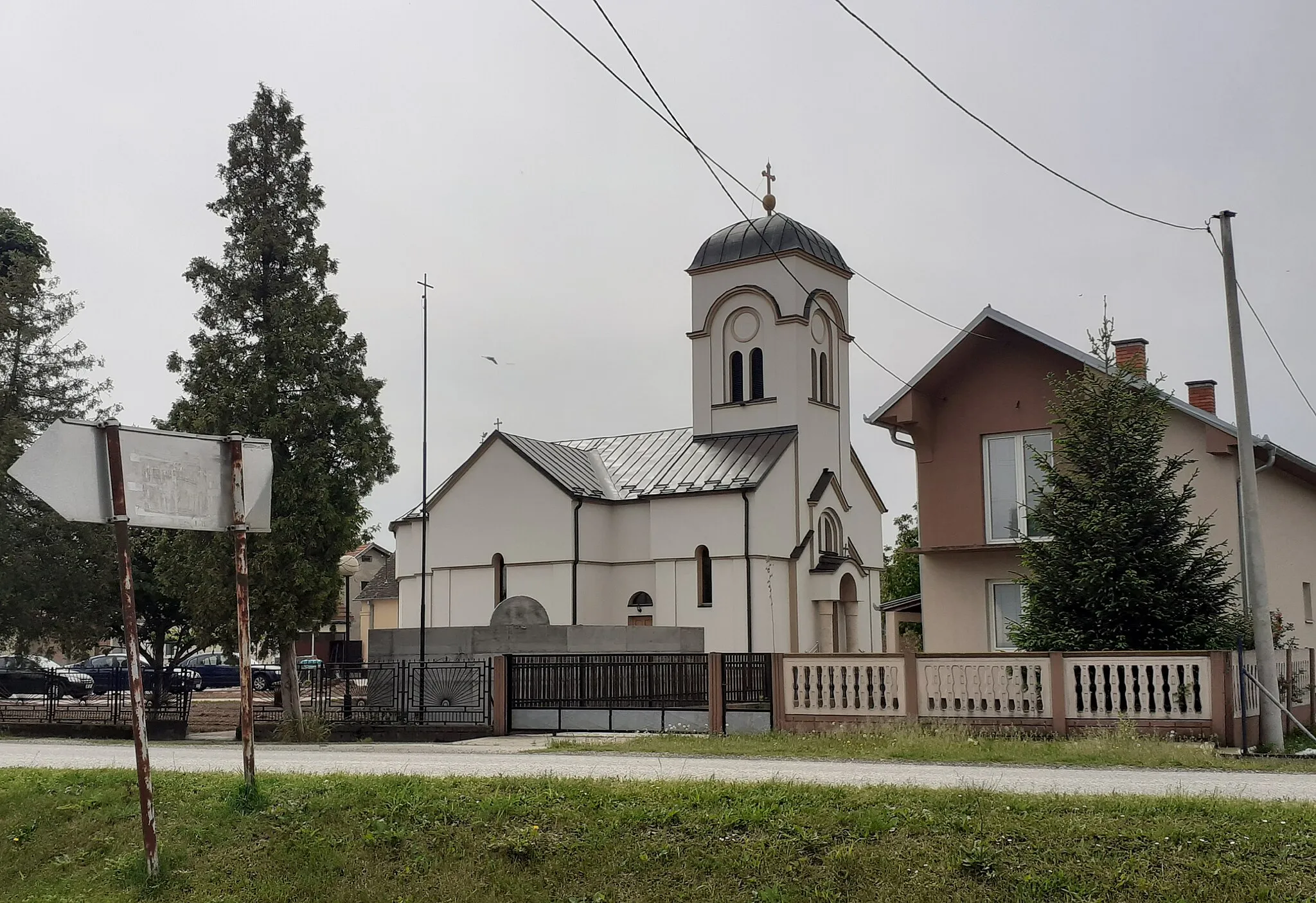
BogaticVillageDiscover Bogatic, a vibrant town famous for its locally-produced Rakija and warm hospitality.
81 km
81 km
Finish: Глоговац Village centerCrna Bara: Discover scenic countryside and tackle the challenging climbs of Avala Mountain.
Cycling routes nearby: