Varna Hills Challenge
A road cycling route starting from Sabac
Test your climbing skills on the challenging ascent to Varna.
Map
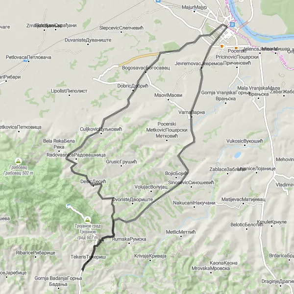
Calling all thrill-seekers and experienced cyclists! The Varna Hills Challenge will put your skills and endurance to the test. With a distance of 72 km and a challenging ascent of 820 meters, this road cycling route is not for the faint-hearted. Push yourself to new limits as you conquer the demanding climb to Varna, a hilltop village offering breathtaking views of the surrounding landscapes. Traverse through diverse terrain, including quaint villages, expansive fields, and lush forests. Prepare for an adrenaline-filled adventure through the remarkable landscapes of Šumadije i Zapadne Srbije.
road
72 km
820 m
Tough
Route profile
Highlights on the route
0 km
0 km
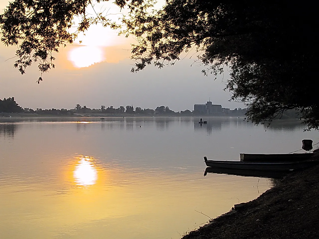
Start: Шабац City centerŠabac: Cycling Paradise in Region Šumadije i Zapadne Srbije
Šabac, situated in Region Šumadije i Zapadne Srbije, Serbia, offers diverse cycling opportunities for both road and gravel cyclists. The locality is surrounded by beautiful countryside and rural landscapes, providing scenic routes for cyclists to explore. Additionally, Šabac is close to the iconic Drina River, which is a popular spot for cycling along its banks. Despite some challenging hills in the region, Šabac is well-equipped with cycling infrastructure, including designated bike lanes and well-maintained roads. Tourists and cycling enthusiasts can also visit nearby cycling-friendly towns and experience the local culture. 9 km
9 km
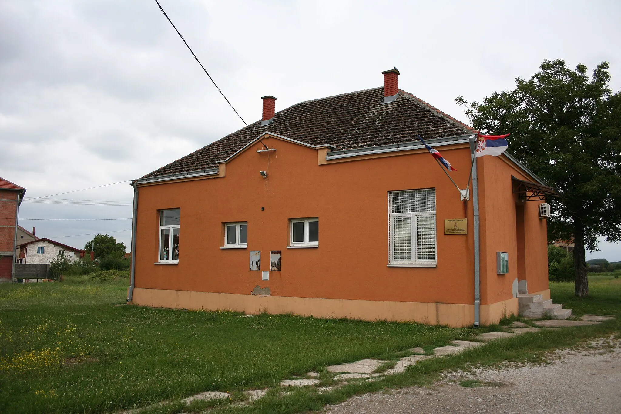
VarnaVillageTake a moment to appreciate Varna's stunning scenery and soak in the panoramic views from the hilltop.
33 km
33 km
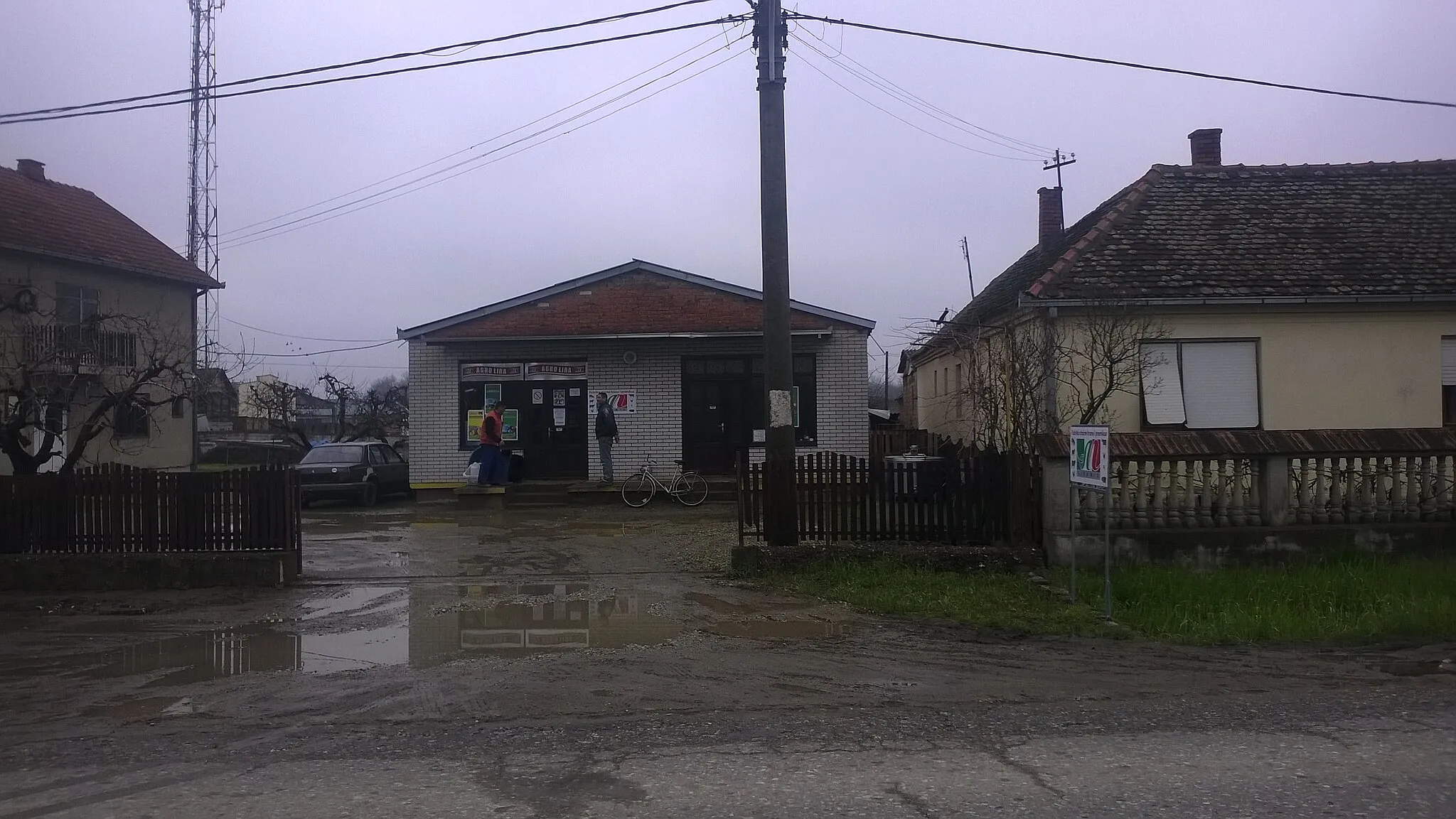
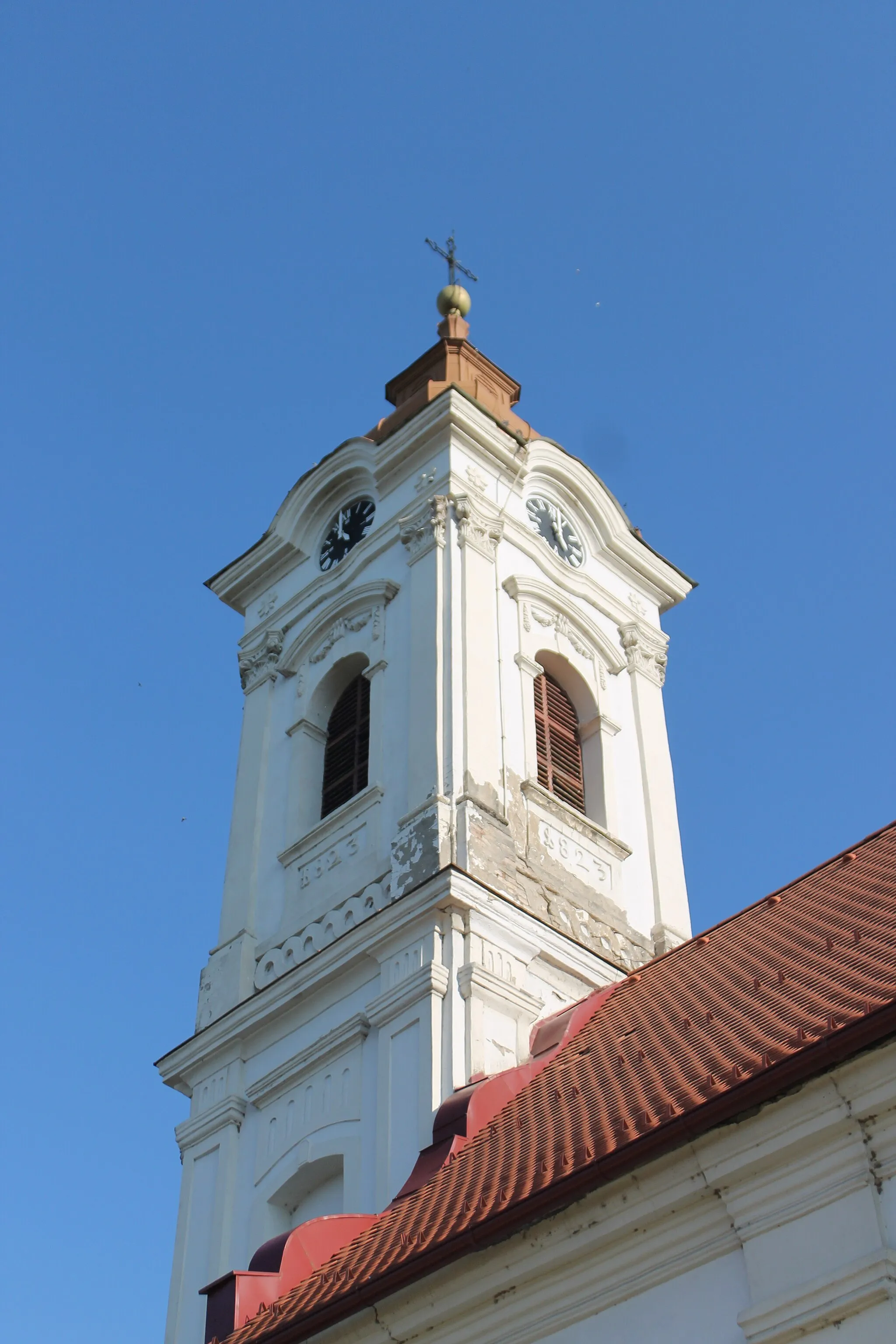
TekerisVillageTekeris is a hidden gem off the beaten path, offering a tranquil retreat amidst nature's beauty.
45 km
45 km
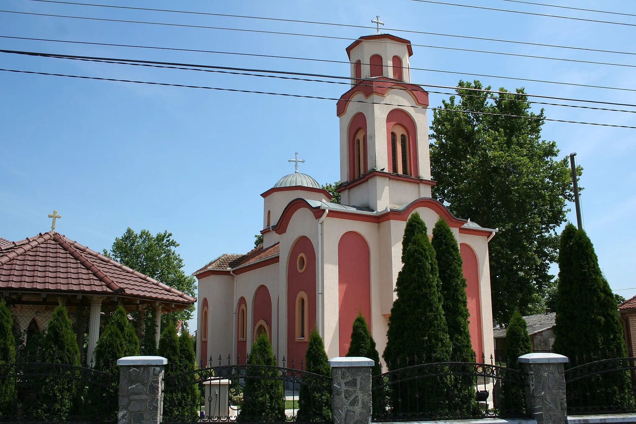
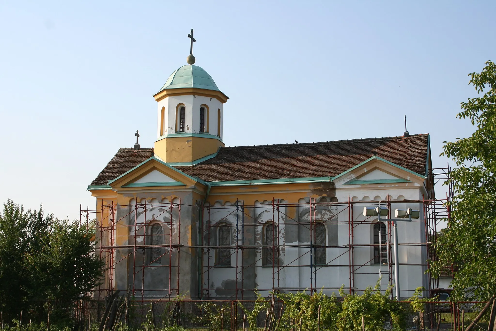
DesicVillageExplore the charming village of Desic, known for its traditional architecture and warm hospitality.
62 km
62 km
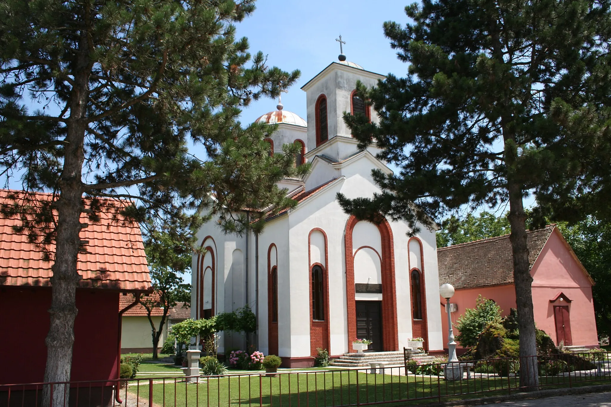
BogosavacVillageBogosavac's natural beauty and serene atmosphere make it a great spot to pause and enjoy the surroundings.
71 km
71 km
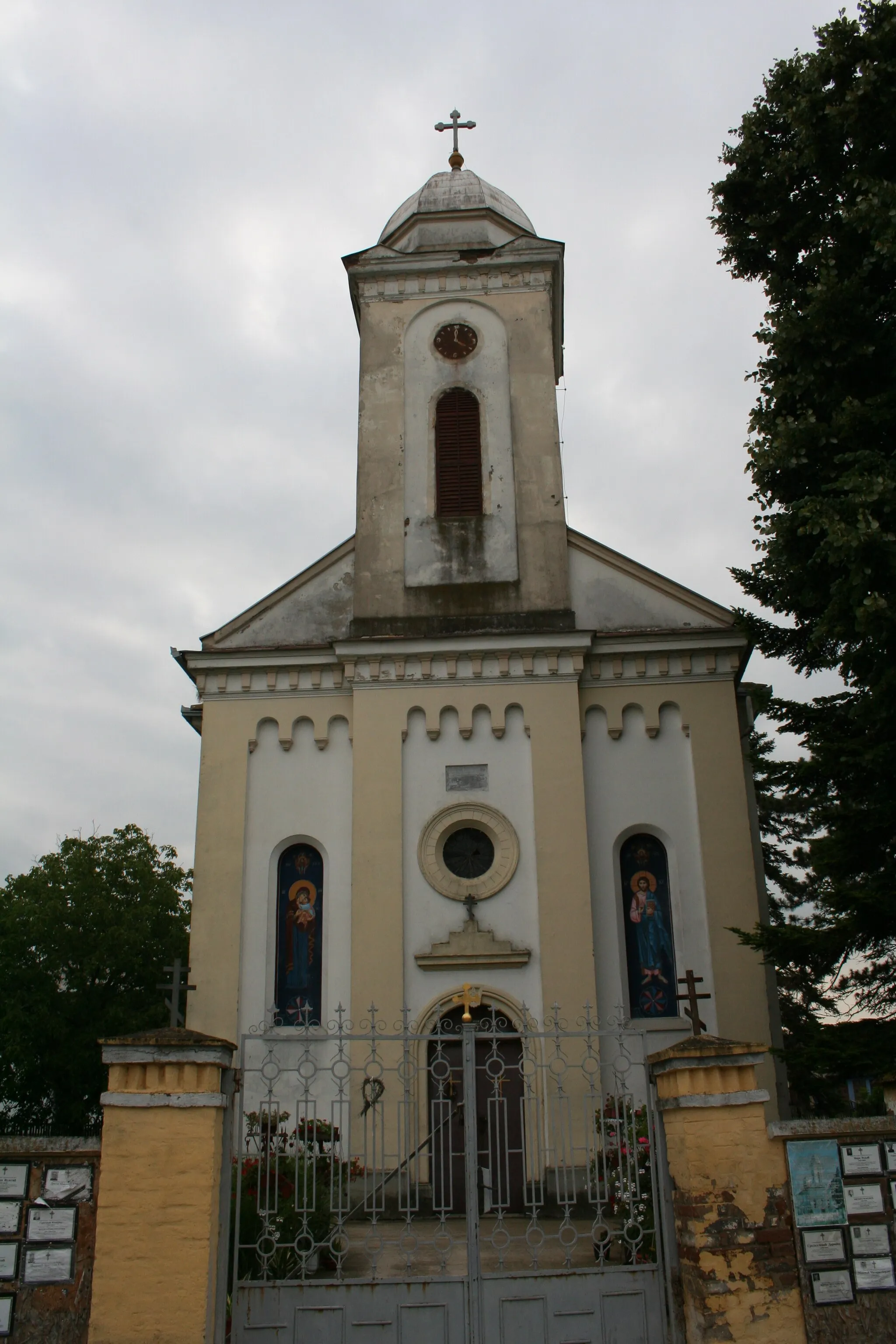
KamenjakSub-urbKamenjak, a challenging climb on the route, rewards cyclists with breathtaking views at the summit.
72 km
72 km
Finish: Шабац City centerŠabac: Cycling Paradise in Region Šumadije i Zapadne Srbije
Cycling routes nearby: