The Off-road Expedition
A gravel cycling route starting from Medzev
Embark on an off-road expedition through the untouched landscapes of eastern Slovakia.
Map
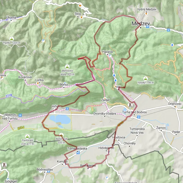
Get ready for an off-road cycling adventure in eastern Slovakia, where you'll experience the raw beauty of the region's untouched landscapes. With an ascent of 1920 meters and a distance of 72 kilometers, this route challenges even the most experienced cyclists. Highlights along the way include the charming Bereš village, the scenic Bódvalenke region, and the stunning Havrania skala. With a difficulty level of 5 and an epicness score of 4, this route guarantees extreme excitement and awe-inspiring scenery.
gravel
72 km
1920 m
Savage
Route profile
Highlights on the route
0 km
0 km
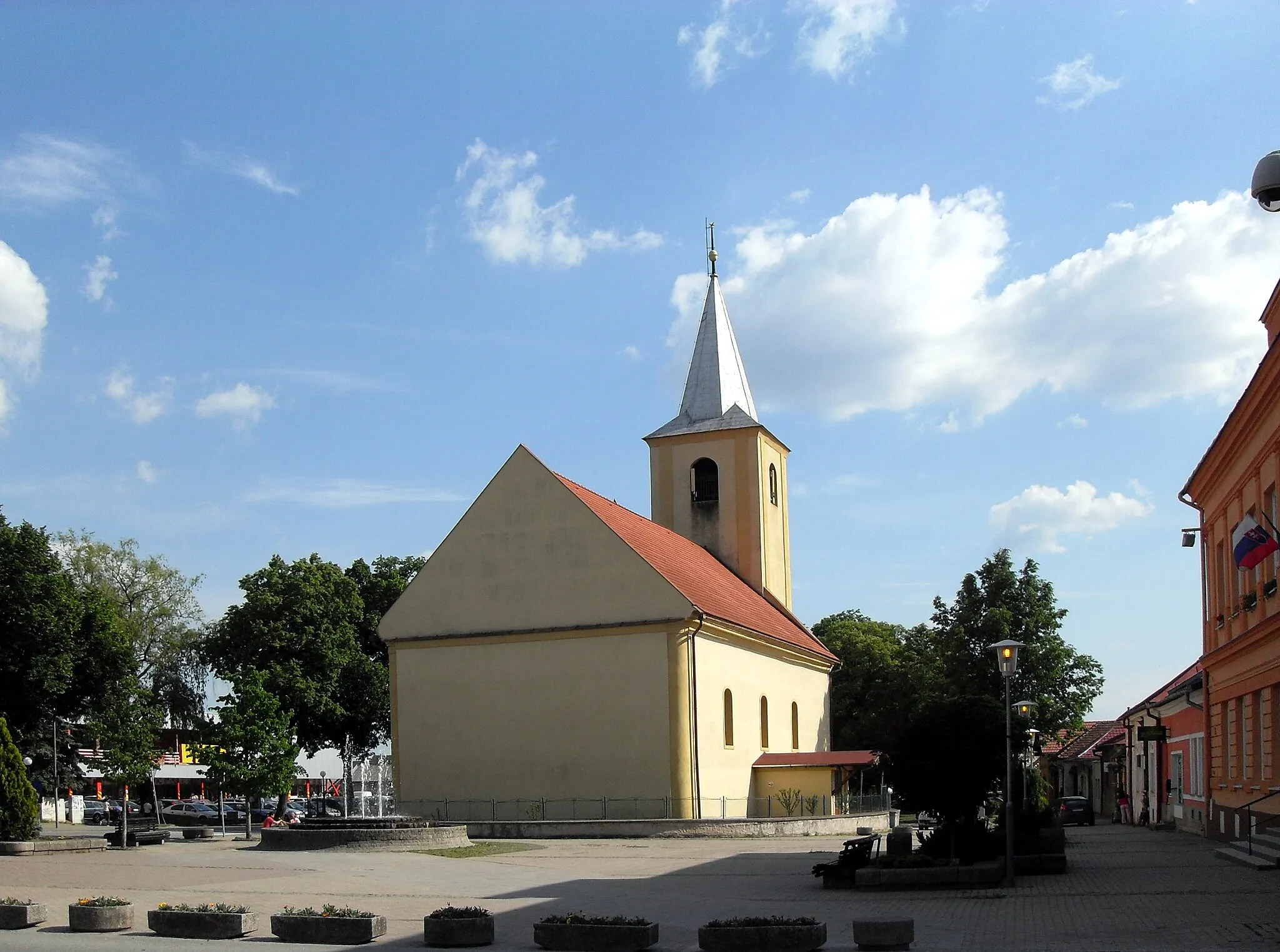
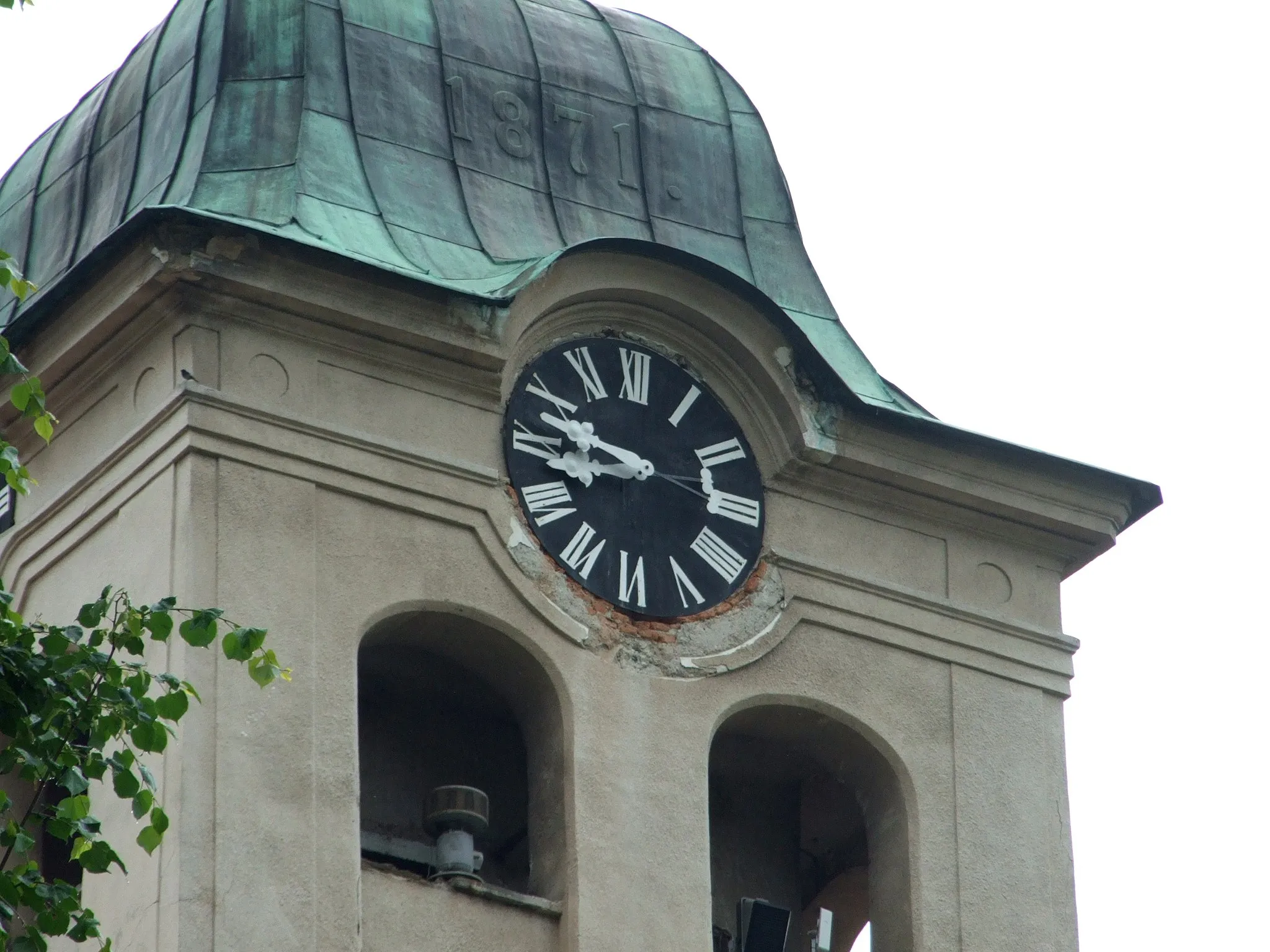
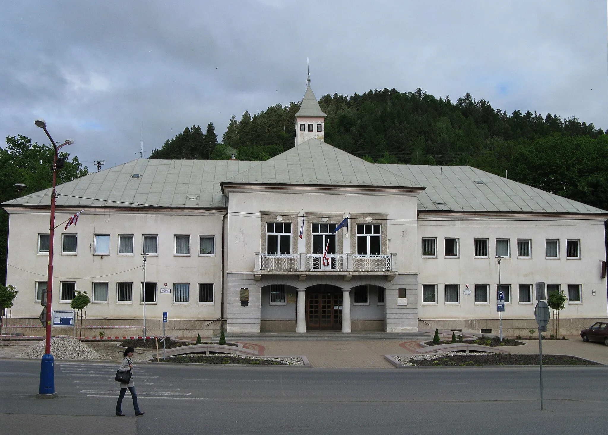
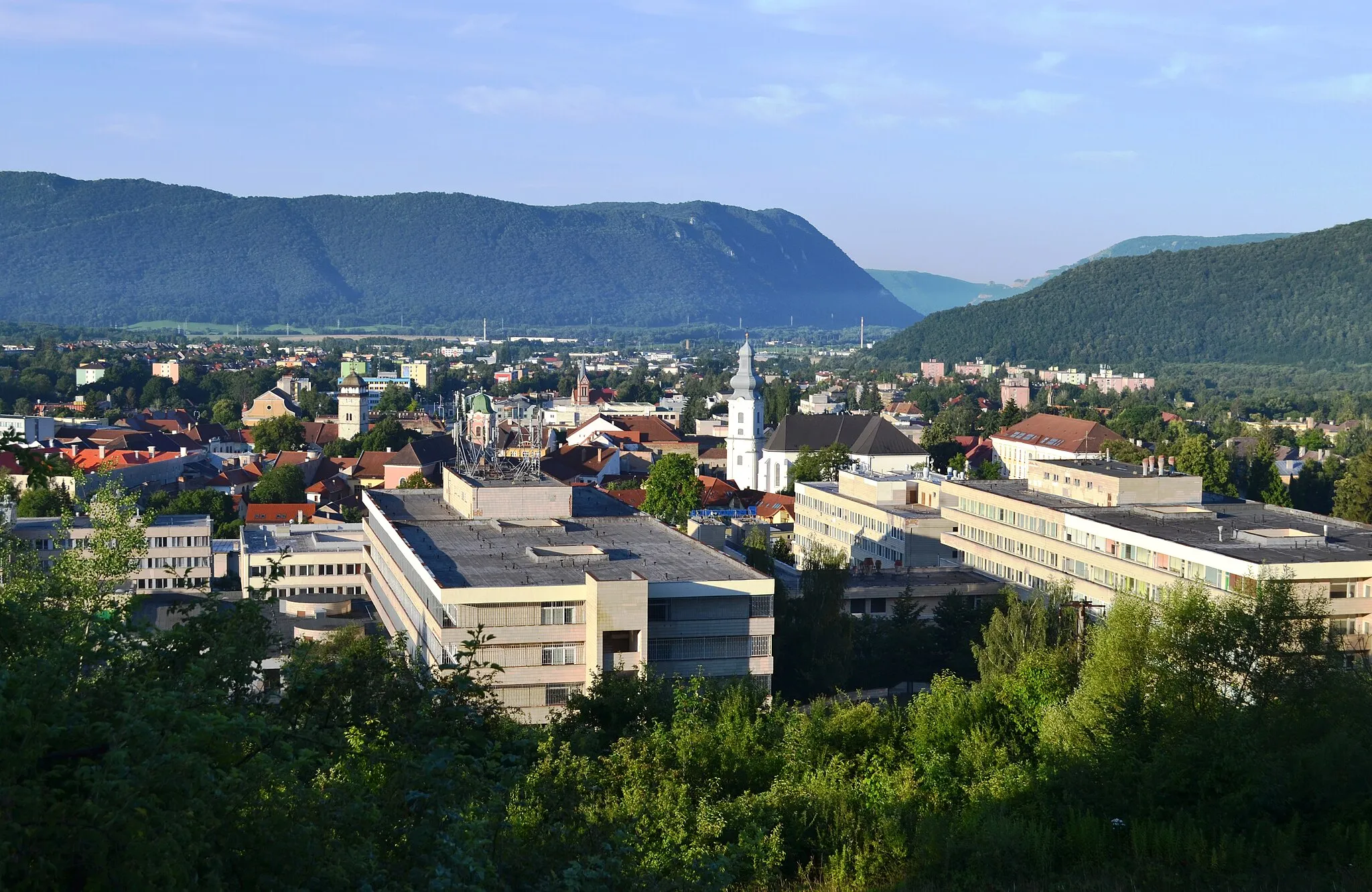
Start: Medzev City centerMedzev: Scenic rides and cultural exploration in Medzev.
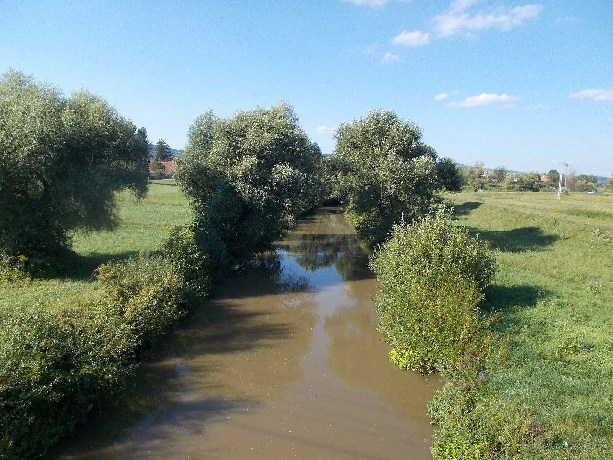
Medzev is a town situated in the eastern part of Slovakia, offering a moderate cycling experience. The area provides both on-road and gravel cycling options, with varied terrain and pleasant riding conditions. Medzev is known for its history and cultural heritage, making it an interesting destination for cyclists who enjoy combining their ride with sightseeing. One notable spot in Medzev is the Mining Museum, which offers a unique insight into the town's mining history. Overall, Medzev offers a mix of scenic rides and cultural exploration.10 km
10 km
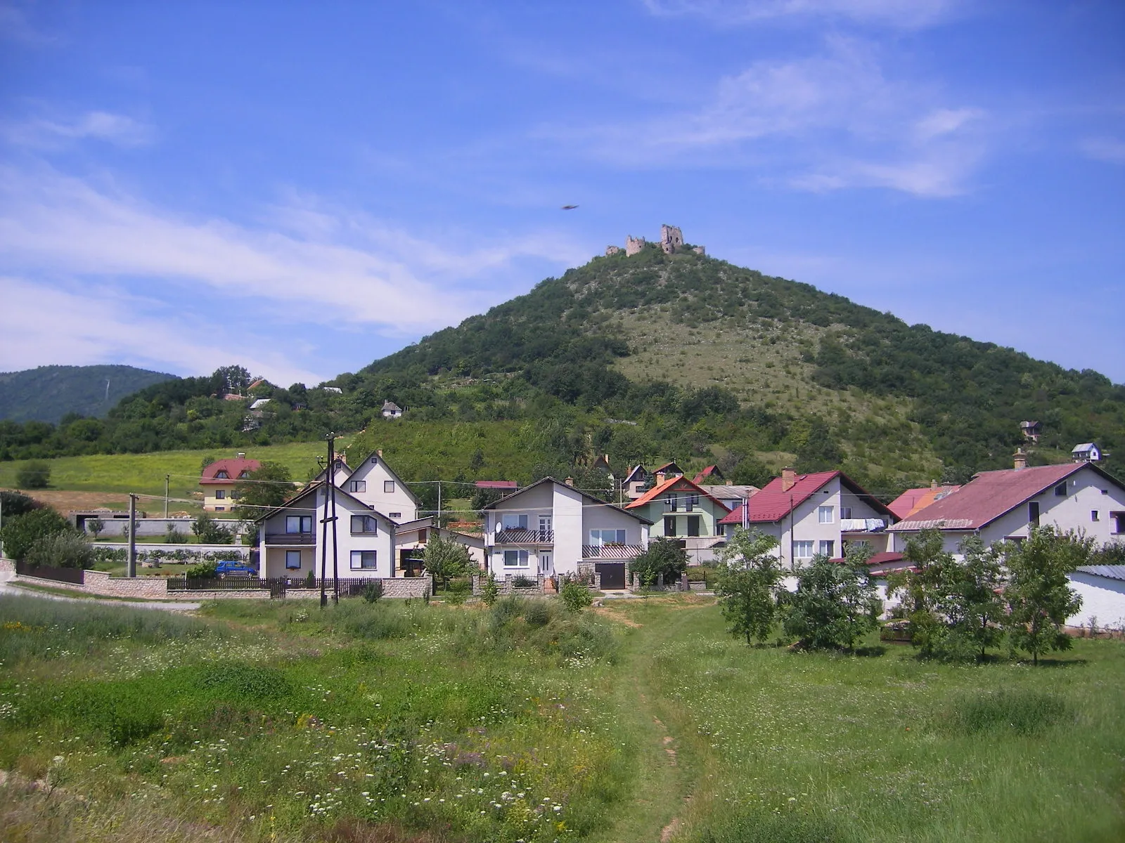
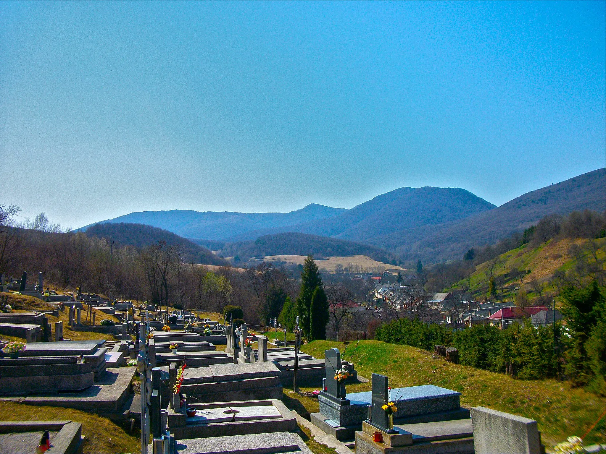
Bereš577 mPeakBereš is a small village known for its traditional charm and tranquil atmosphere, providing cyclists with a sense of escape and immersion in nature.
12 km
12 km
HájVillageHáj is a hidden gem with its unspoiled natural landscapes and breathtaking views, offering a thrilling adventure for off-road enthusiasts.
26 km
26 km
BódvalenkeVillageBódvalenke is a remote village nestled in the countryside, offering a glimpse into the region's rich cultural heritage through its traditional architecture and way of life.
36 km
36 km
Nižný vrch533 mPeakNižný vrch is a hill with its rugged terrain and stunning vistas that will test your off-road cycling skills and reward you with exhilarating experiences.
53 km
53 km
Havrania skala770 mPeakHavrania skala is a rocky cliff that offers impressive panoramic views of the surrounding landscape, providing an unforgettable stop along your off-road expedition.
69 km
69 km
Kauligov vrch580 mPeakKauligov vrch is a challenging climb that showcases the region's rugged beauty, rewarding cyclists with a sense of accomplishment upon reaching the top.
72 km
72 km
MedzevTownMedzev is your starting and ending point, a charming town with its rich history and a perfect location to begin your off-road adventure.
72 km
72 km
Finish: Medzev City centerMedzev: Scenic rides and cultural exploration in Medzev.
Cycling routes nearby: