Scenic rides and cultural exploration await cyclists in Gelnica.
Cycling routes from Gelnica
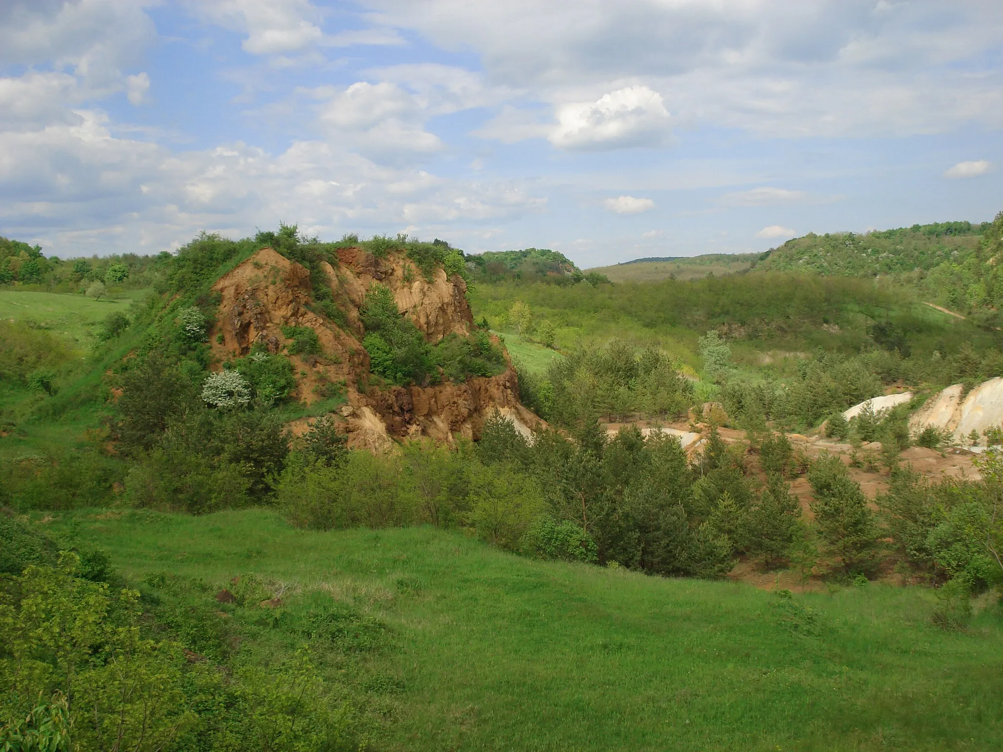
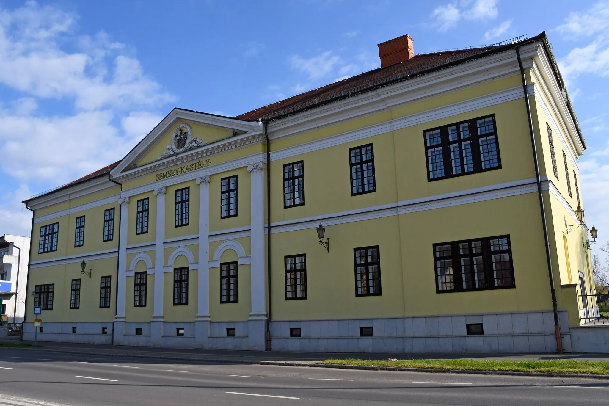
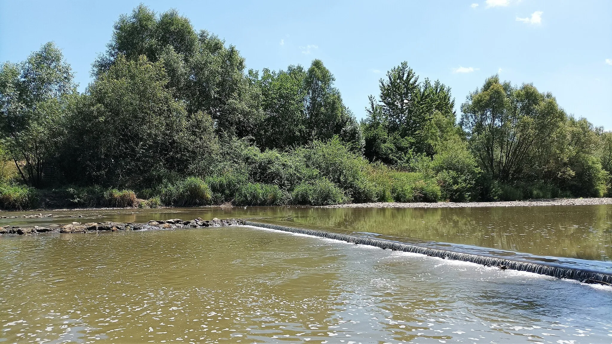
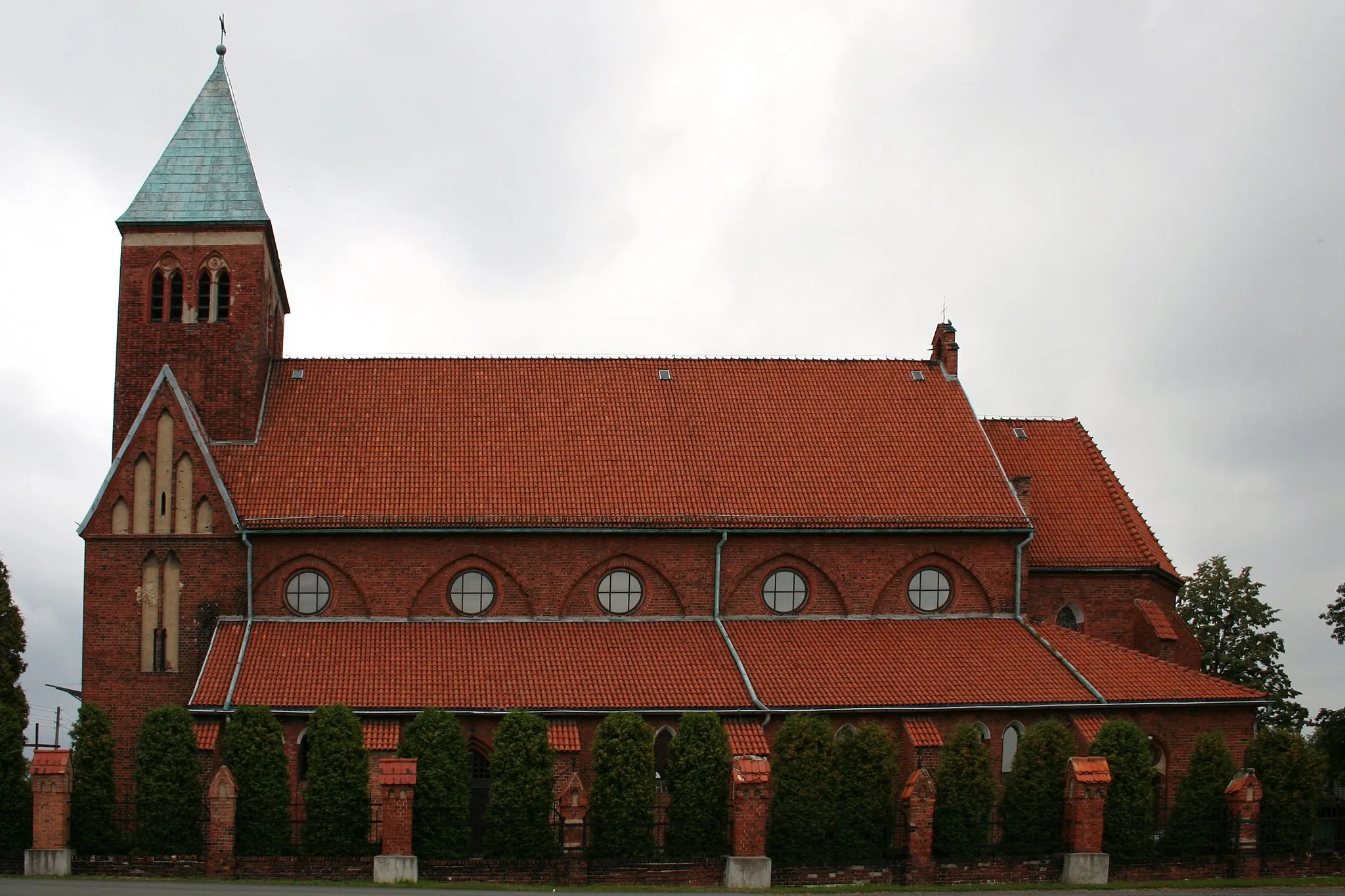
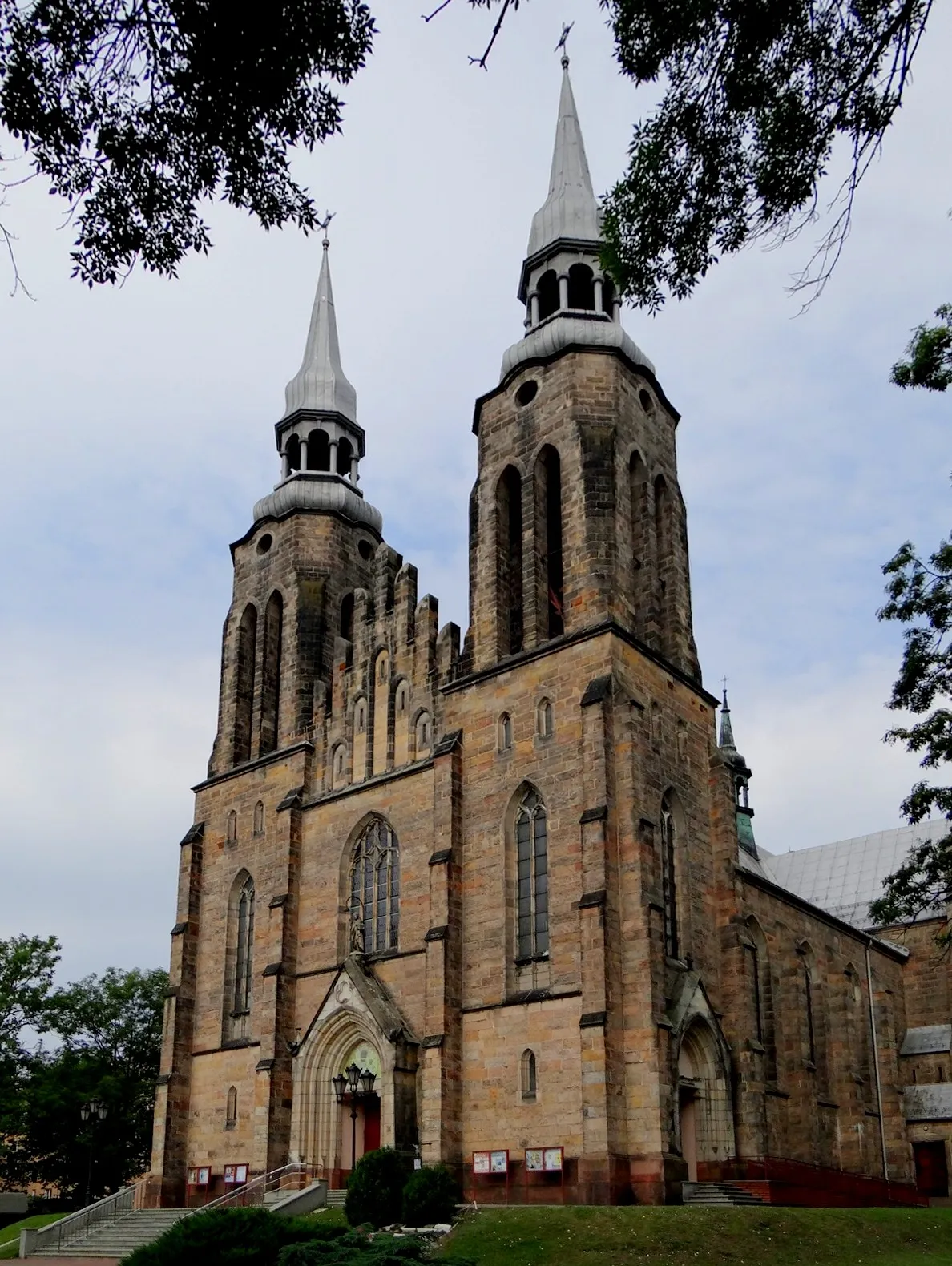
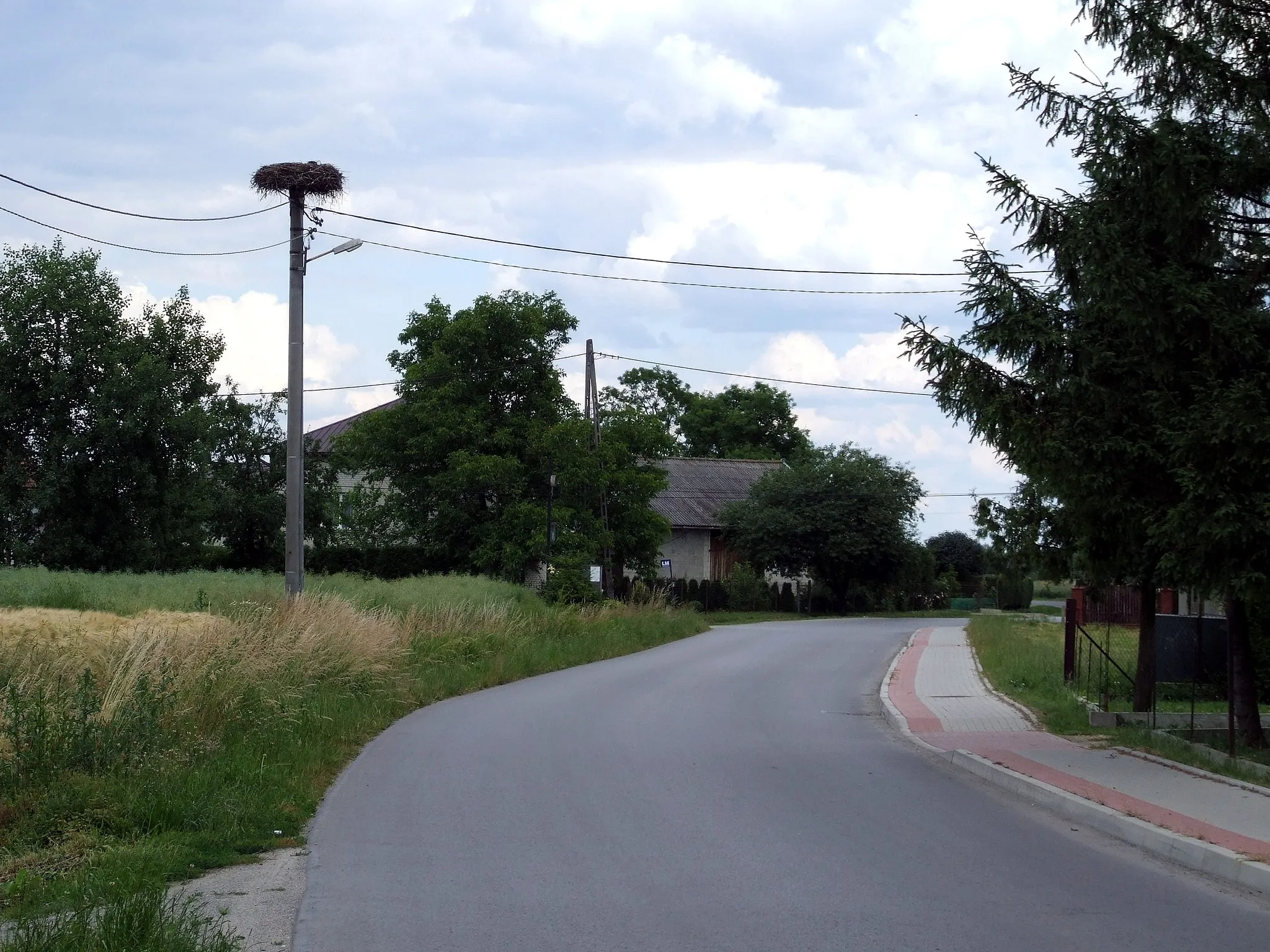
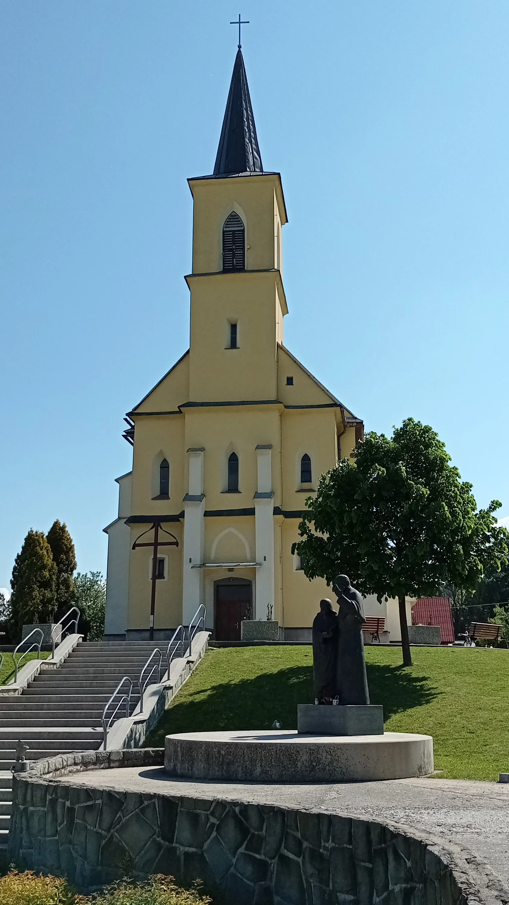
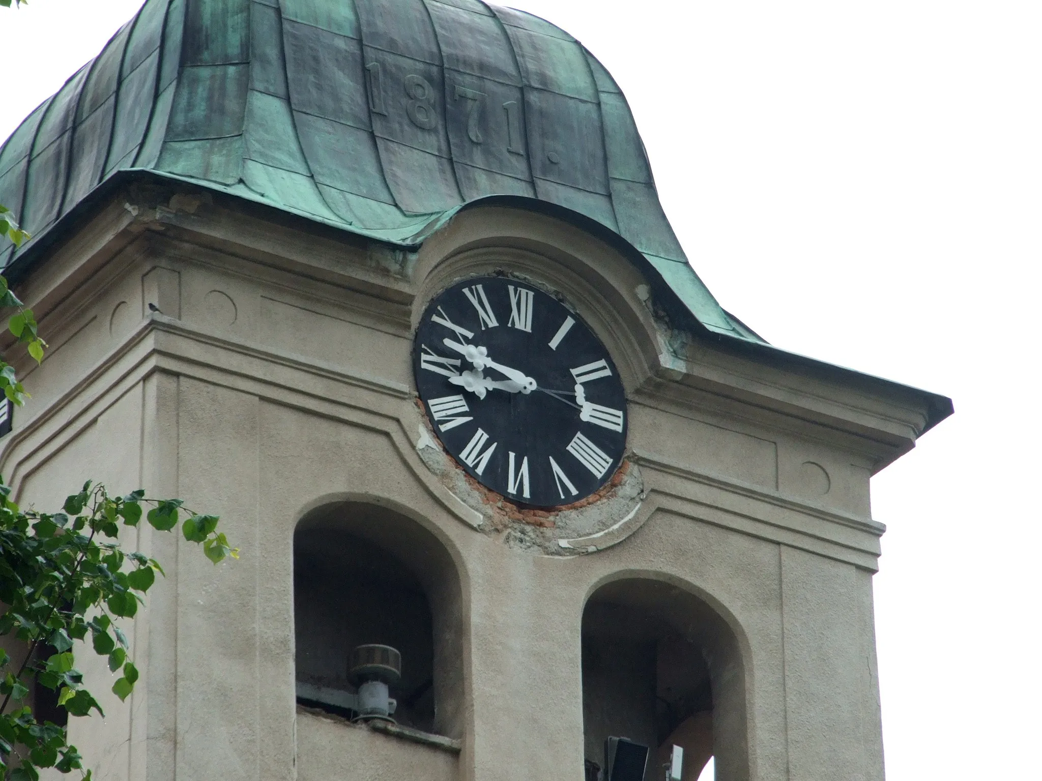
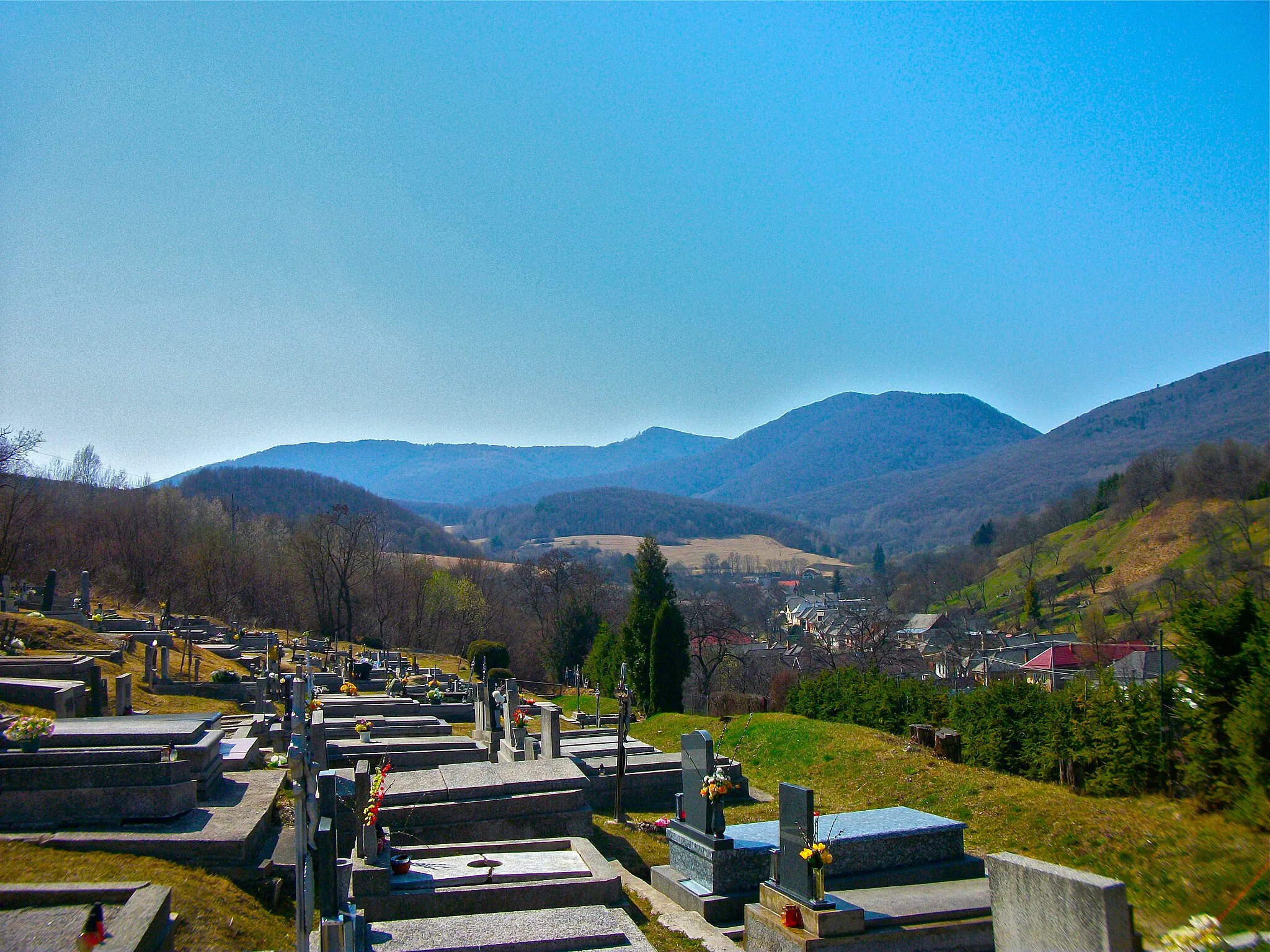
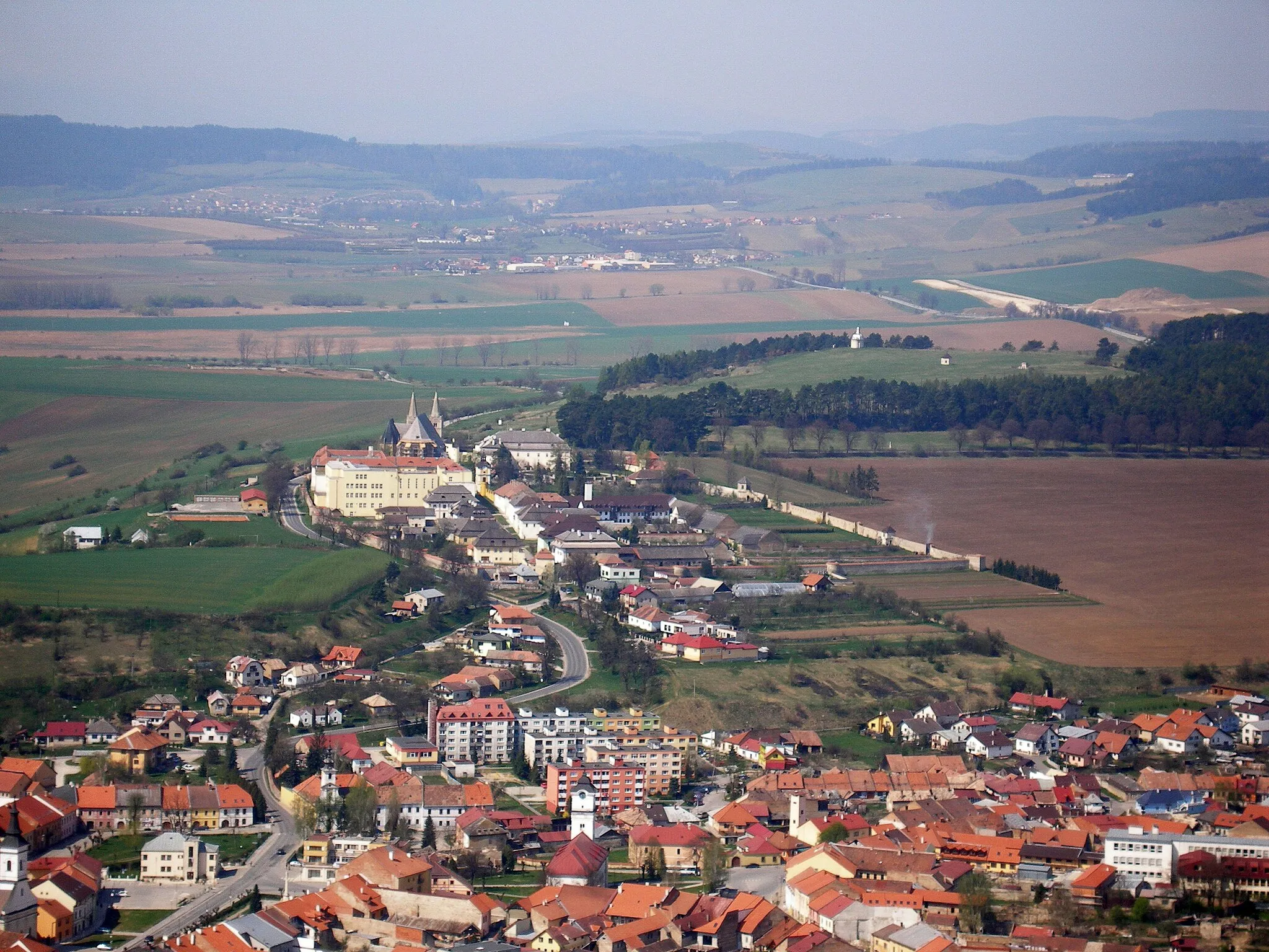
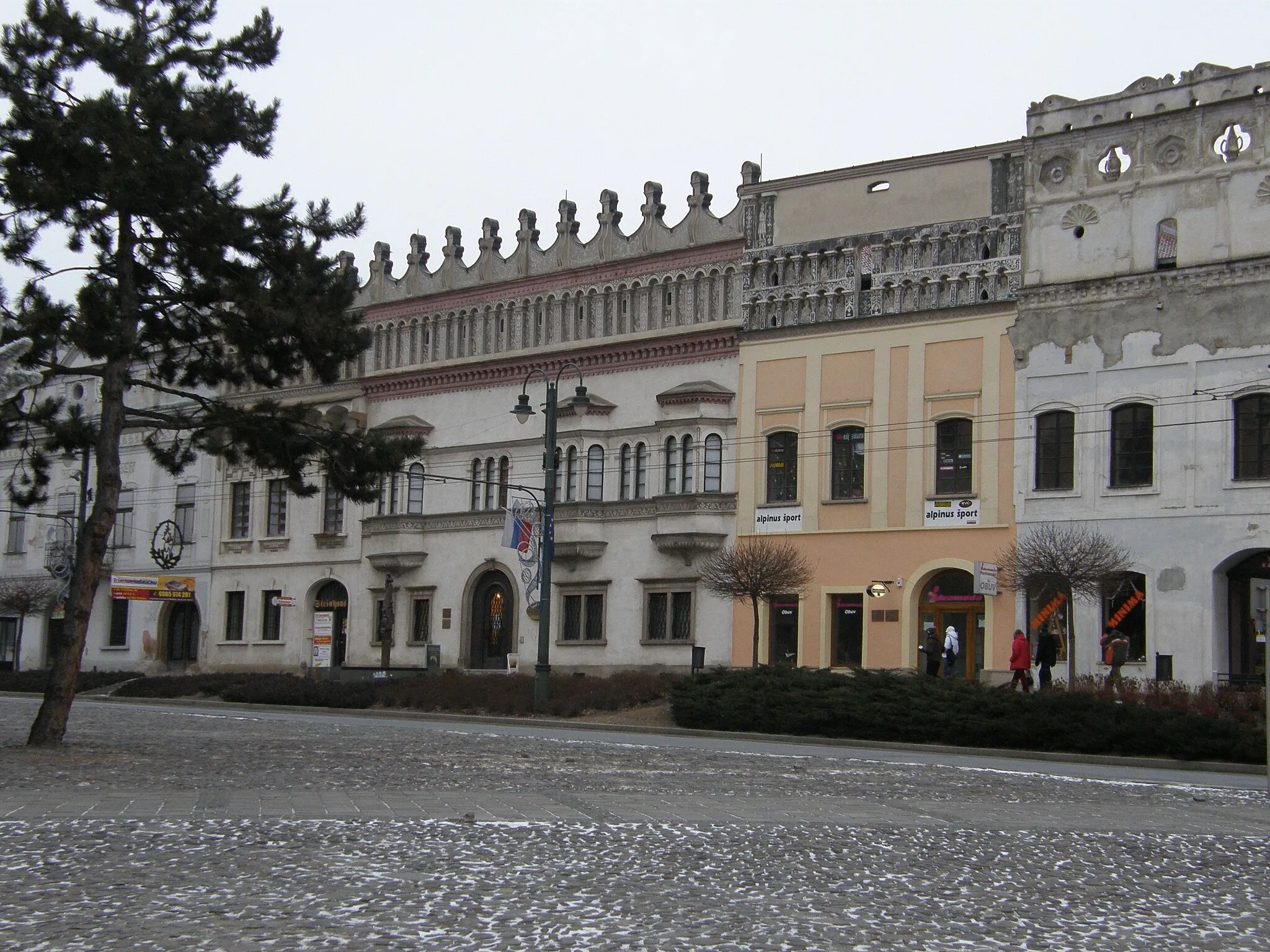
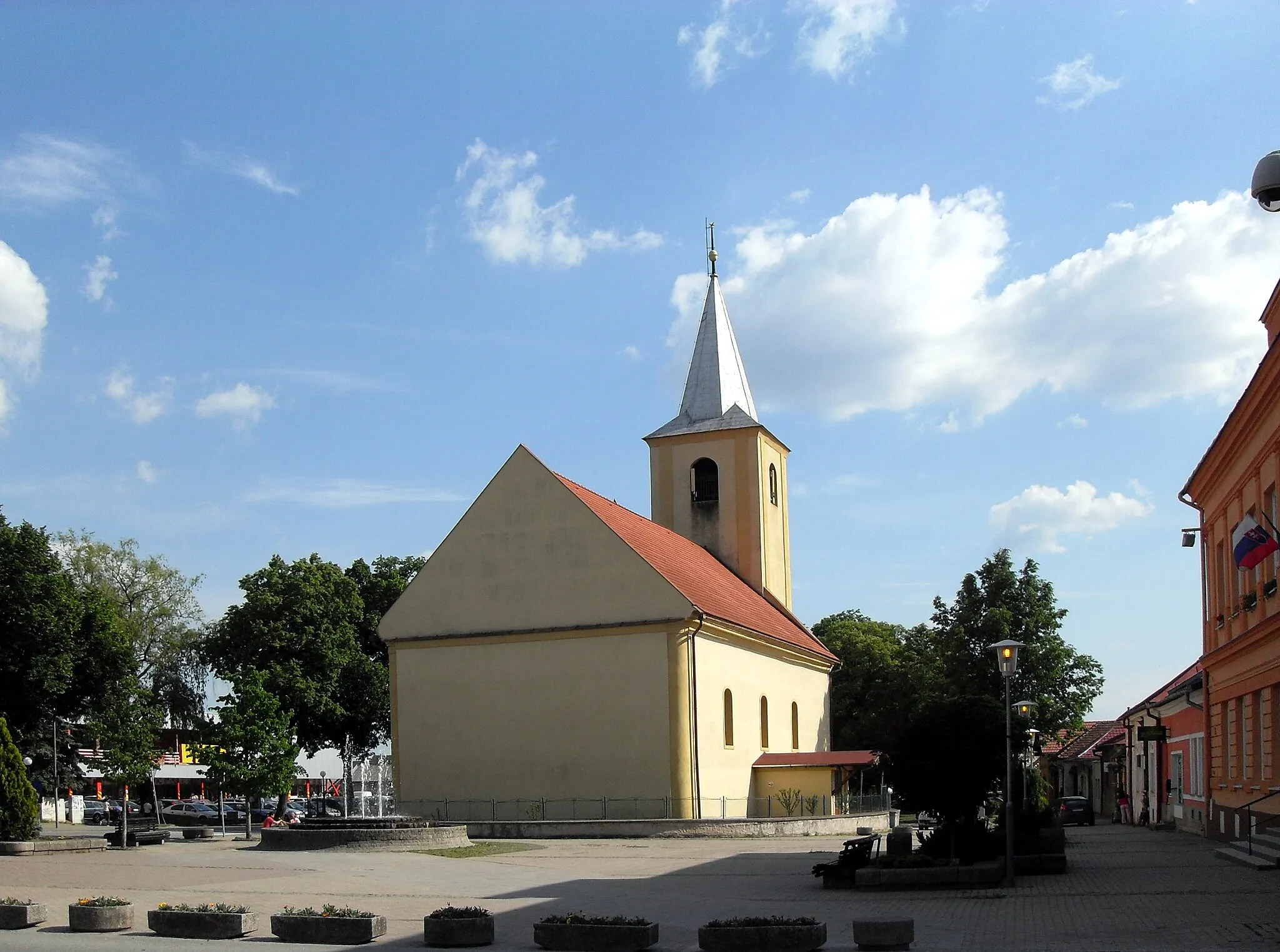
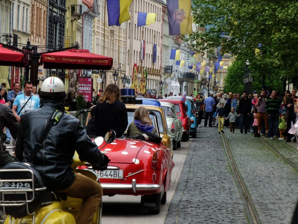
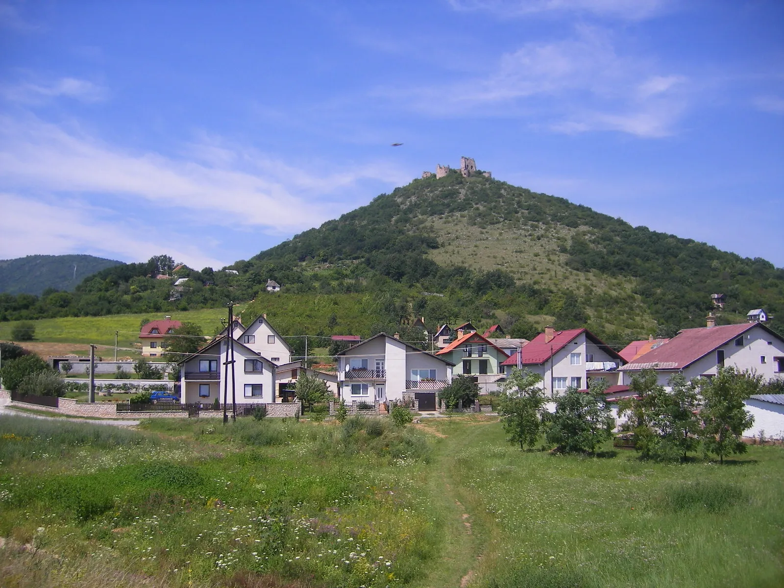
Gelnica, located in Východné Slovensko, Slovakia, offers moderate cycling opportunities. The local roads provide a mix of flat sections and some hilly terrain, suitable for both casual riders and more experienced cyclists. While Gelnica is not known for any famous cycling spots or well-known climbs nearby, the picturesque landscapes and peaceful atmosphere make it an enjoyable place for cycling excursions. Nearby attractions include the historic town center with various cultural sites and the nearby Slovak Paradise National Park, which offers additional outdoor activities for visitors.
Embark on an off-road gravel cycling adventure through Eastern Slovakia's stunning landscapes
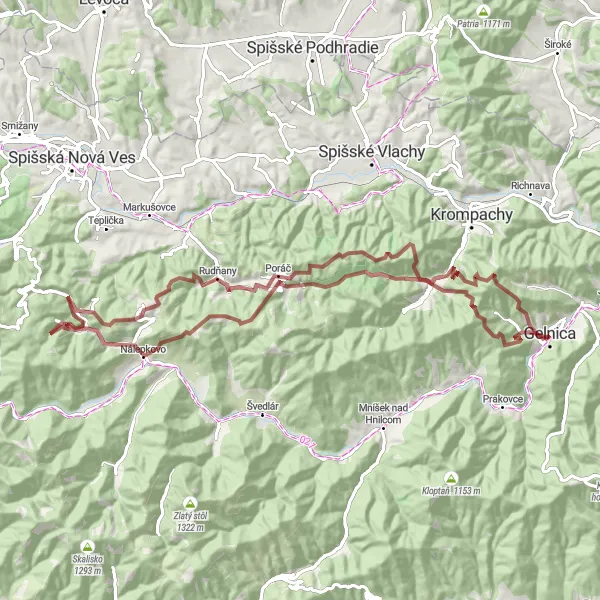
If you enjoy gravel cycling and picturesque scenery, then this 85-kilometer route is perfect for you. With a challenging ascent of 2,913 meters, this route will put your gravel cycling skills to the test. Highlights along the way include Biela skala, Nálepkovo, Holina, and Žakarovský vrch. The difficulty of this off-road route is rated 4 out of 5, ideal for experienced gravel cyclists seeking a thrilling adventure. The epicness of the route is rated 3 out of 5, thanks to its rugged terrain and stunning natural surroundings.
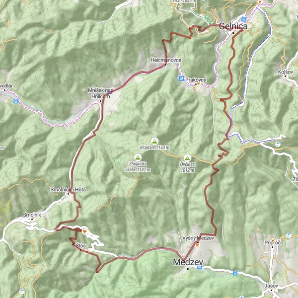
The Gravel Adventure

An exhilarating gravel route with stunning highlights
This picturesque round-trip gravel route near Gelnica offers a thrilling adventure for cyclists. With a total distance of 93 km and an ascent of 2656m, it is suitable for intermediate to advanced riders. The route takes you through scenic landscapes and charming villages, allowing you to explore the beautiful natural surroundings of Východné Slovensko.
A road cycling journey through scenic beauty
Embark on the road journey of a lifetime with this 70 km round-trip route. With an ascent of 1294m, it is suitable for experienced cyclists. Along the way, you'll encounter enchanting villages and captivating landscapes, providing you with a glimpse into the cultural and natural treasures of Východné Slovensko.

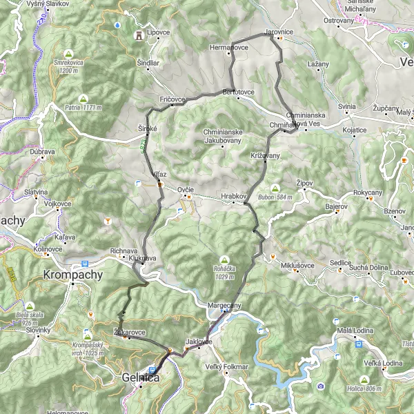
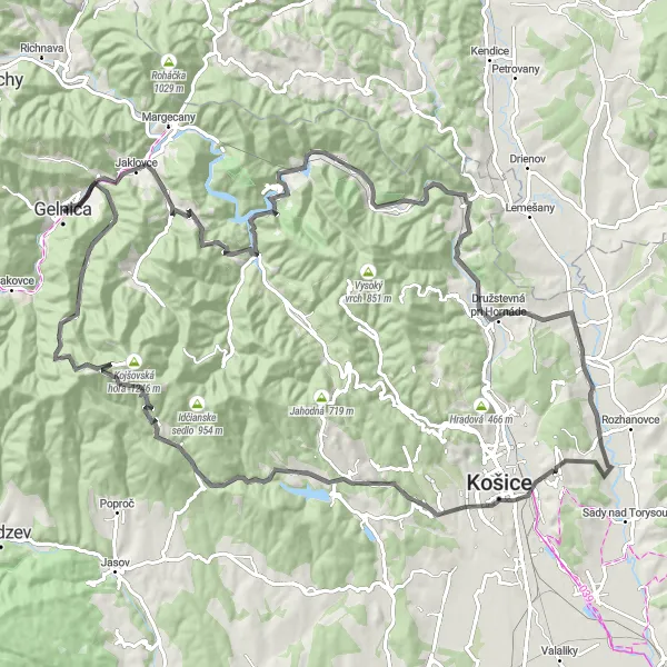
A scenic road trip exploring Gelnica and the nearby mountain peaks
Discover the beauty of Gelnica and its surrounding mountain peaks on this captivating road cycling route. With a total ascent of 1,605 meters and a distance of 127 kilometers, this route is ideal for intermediate to advanced cyclists. Highlights along the way include Folkmarský kopec, Jahodná, Čečejovce, and Smolník. The difficulty of this route is rated 3 out of 5, offering a good challenge for cyclists with moderate fitness levels. The epicness of the route is rated 4 out of 5, thanks to its diverse terrain and stunning views.

Embark on an exciting cycling journey through the scenic landscapes near Gelnica.
Experience the thrill of cycling through picturesque routes near Gelnica, Slovakia. With a distance of 151 km and an ascent of 2871m, this adventure is packed with breathtaking views and thrilling challenges. Test your cycling skills as you traverse the road or tackle the gravel paths, depending on your bike preference. Explore diverse highlights along the route, ranging from captivating gateways to tranquil lakes and historic sites. Discover hidden gems such as Brána, Buglovce, Jazerec, Krúžok, Torysky, Tok, Čistý diel, Tichý Potok, and many more. Immerse yourself in the natural beauty and rich cultural heritage of Východné Slovensko as you pedal your way through this distinctively captivating route.
The Scenic Road Circuit
A picturesque road cycling circuit with diverse highlights
Immerse yourself in the stunning landscapes and rich cultural heritage of Východné Slovensko with this 90 km road cycling circuit. With an ascent of 1165m, it is suitable for dedicated cyclists looking for a memorable journey. This route takes you through charming villages, rolling hills, and captivating natural wonders, providing a truly immersive experience.
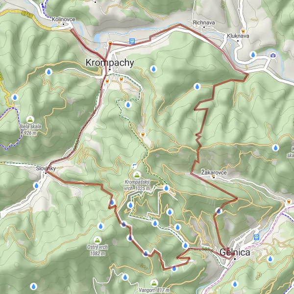
A thrilling gravel ride to the Gelnická hora
Discover the beauty of the Gelnická hora with this 38 km round-trip gravel route. With an ascent of 1129m, it is suitable for intermediate cyclists looking for a challenging ride. Enjoy the tranquility of the surrounding landscapes as you pedal your way through picturesque villages and rugged terrain, taking in the breathtaking views along the way.
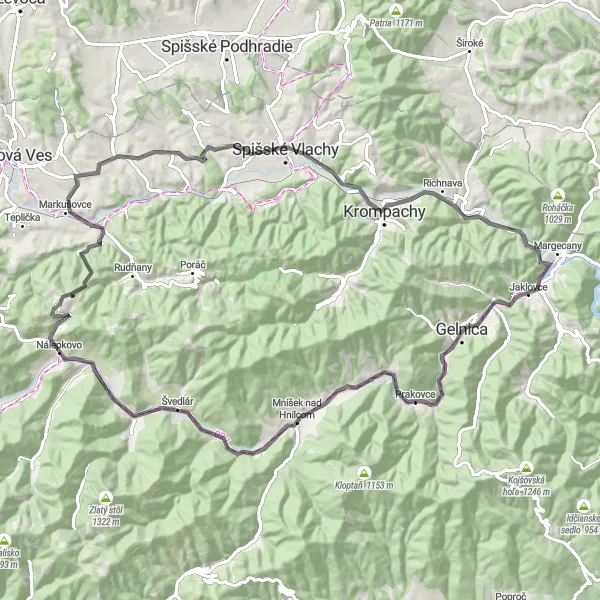
A thrilling gravel expedition with breathtaking highlights
Embark on a challenging 68 km gravel expedition through spectacular landscapes and hidden gems. With an ascent of 1981m, this route is suitable for experienced cyclists seeking an adrenaline-pumping adventure. From charming villages to awe-inspiring natural wonders, discover the hidden treasures of Východné Slovensko on this epic journey.
An epic road trip through Eastern Slovakia's stunning landscapes
This challenging road cycling route takes you through the beautiful region of Eastern Slovakia. With a total ascent of 1,935 meters and a distance of 112 kilometers, this route is perfect for experienced cyclists. You'll pass through several highlights, including Veľký Folkmar, Sivec, Budimír, and Zlatoidská hora, each offering its own unique charm. The difficulty of this route is rated 4 out of 5, making it suitable for very well-trained amateurs. The epicness of the route is rated 4 out of 5, thanks to its scenic beauty and challenging terrain.

Experience the thrill of gravel cycling on this exciting route in Eastern Slovakia
Immerse yourself in the natural beauty of Eastern Slovakia on this 91-kilometer gravel cycling adventure. With a demanding ascent of 2,943 meters, this route will test the endurance and skills of any gravel cyclist. Highlights along the way include Krompachy, Brána, Smrekovica, Vyšný Slavkov, and Špicatý vrch. The difficulty of this route is rated 5 out of 5, making it suitable for highly skilled and trained gravel cyclists. The epicness of the route is rated 4 out of 5, thanks to its diverse terrain and stunning vistas.
Cycling routes nearby:
Nearby regions: