Off-road Adventure: Gravel Cycling in Eastern Slovakia
A gravel cycling route starting from Gelnica
Embark on an off-road gravel cycling adventure through Eastern Slovakia's stunning landscapes
Map
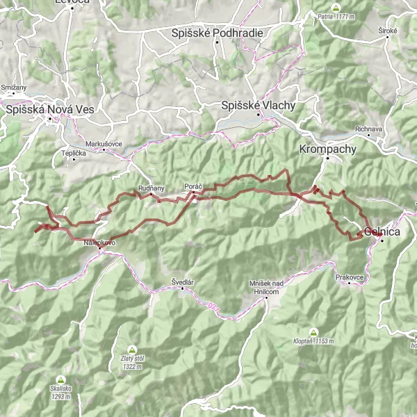
If you enjoy gravel cycling and picturesque scenery, then this 85-kilometer route is perfect for you. With a challenging ascent of 2,913 meters, this route will put your gravel cycling skills to the test. Highlights along the way include Biela skala, Nálepkovo, Holina, and Žakarovský vrch. The difficulty of this off-road route is rated 4 out of 5, ideal for experienced gravel cyclists seeking a thrilling adventure. The epicness of the route is rated 3 out of 5, thanks to its rugged terrain and stunning natural surroundings.
gravel
85 km
2913 m
Tough
Route profile
Highlights on the route
0 km
0 km
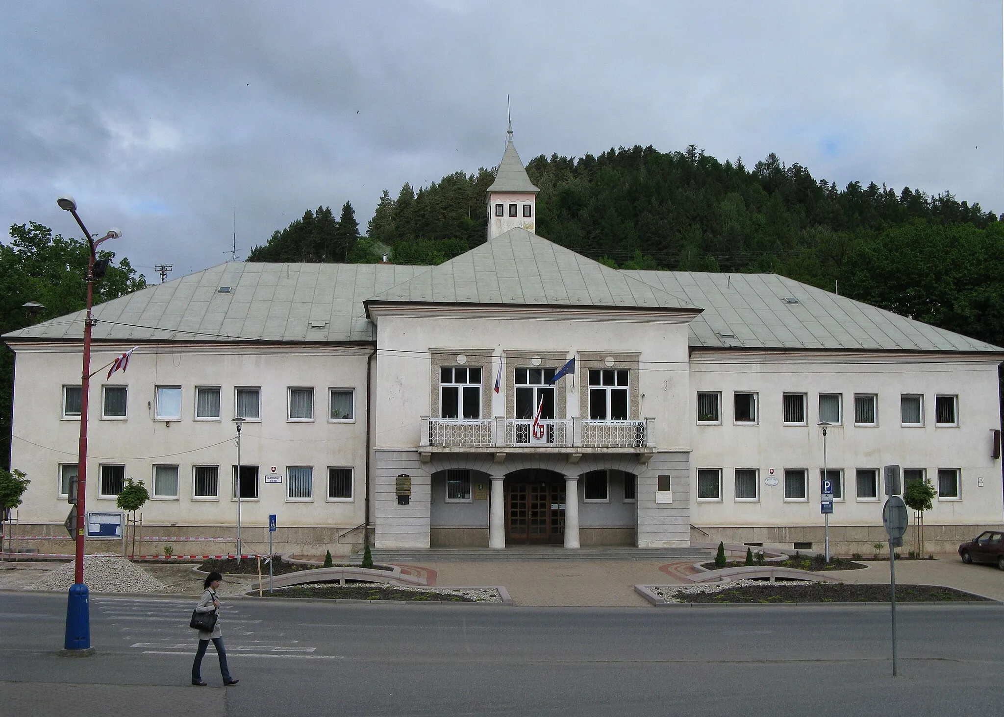
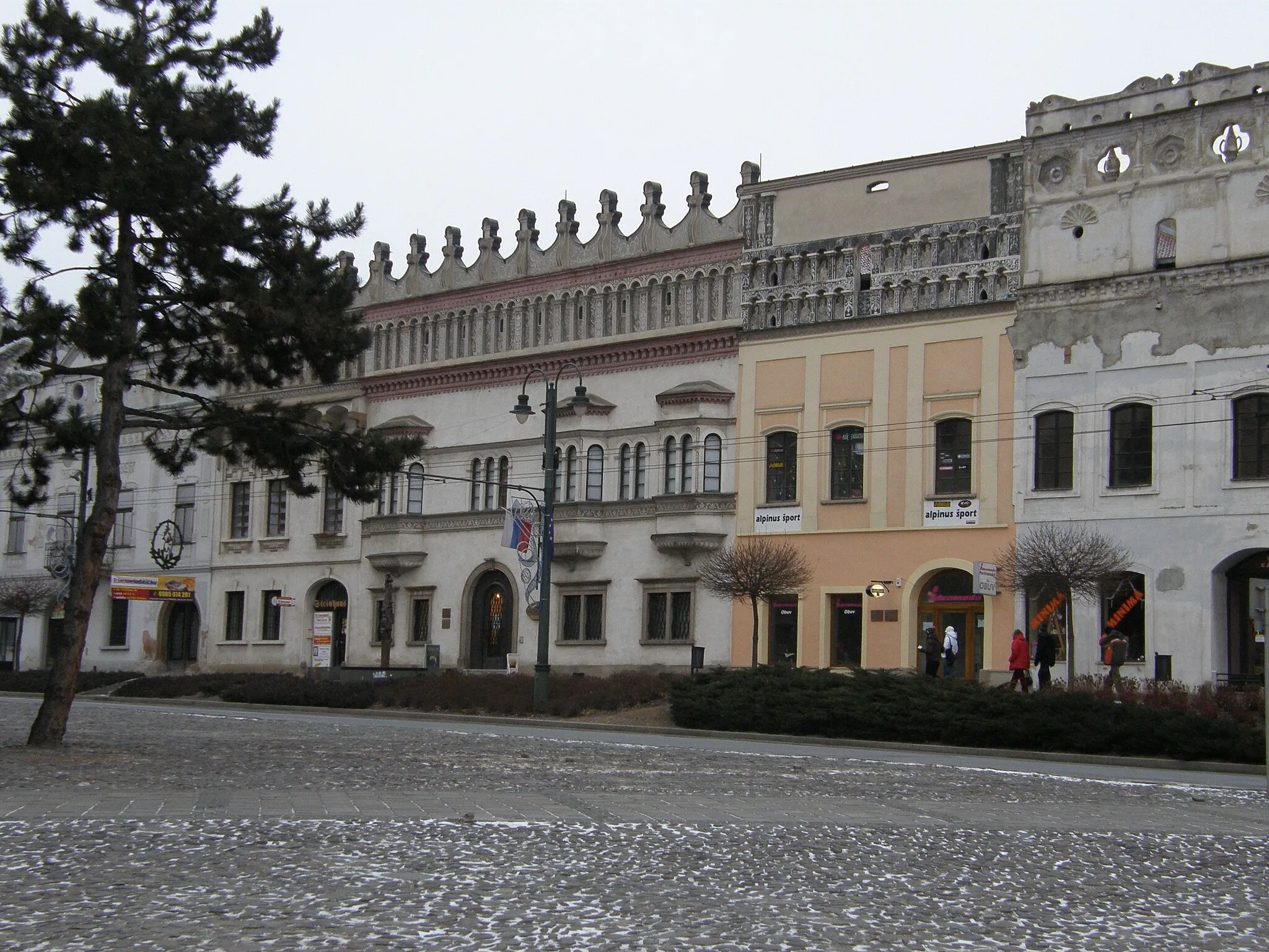
Start: Gelnica City centerGelnica: Scenic rides and cultural exploration await cyclists in Gelnica.
Gelnica, located in Východné Slovensko, Slovakia, offers moderate cycling opportunities. The local roads provide a mix of flat sections and some hilly terrain, suitable for both casual riders and more experienced cyclists. While Gelnica is not known for any famous cycling spots or well-known climbs nearby, the picturesque landscapes and peaceful atmosphere make it an enjoyable place for cycling excursions. Nearby attractions include the historic town center with various cultural sites and the nearby Slovak Paradise National Park, which offers additional outdoor activities for visitors.14 km
14 km
Biela skala926 mPeak ViewpointBiela skala, located at the 14-kilometer mark, is a striking rock formation that offers magnificent views of the surrounding landscape.
53 km
53 km
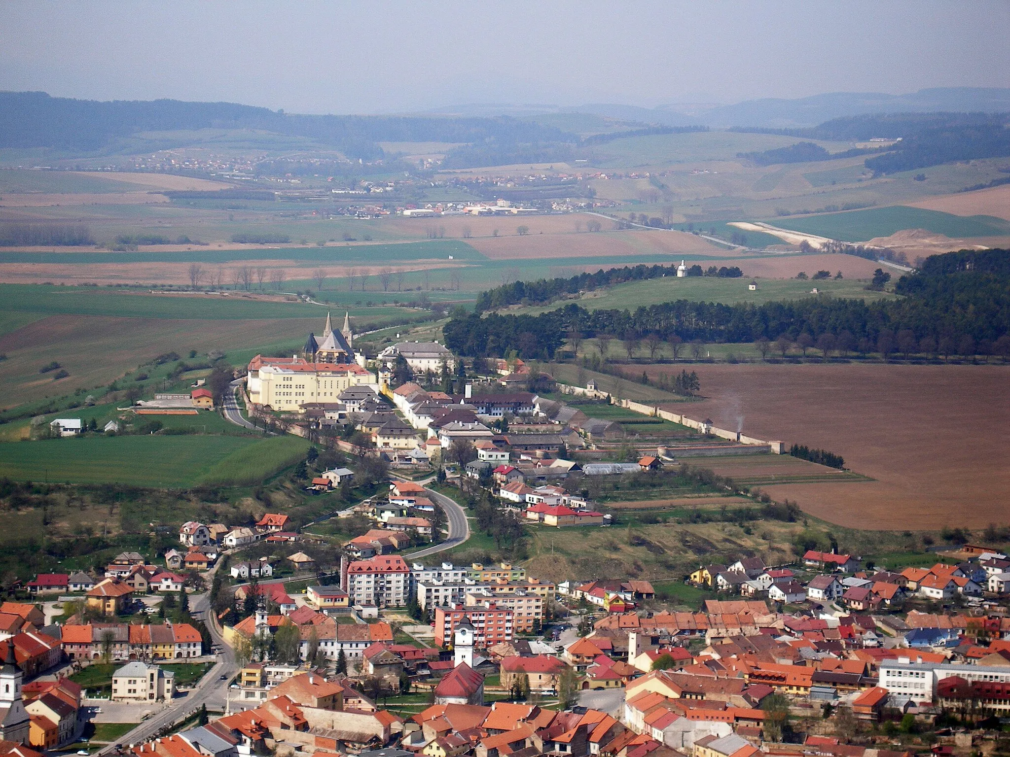
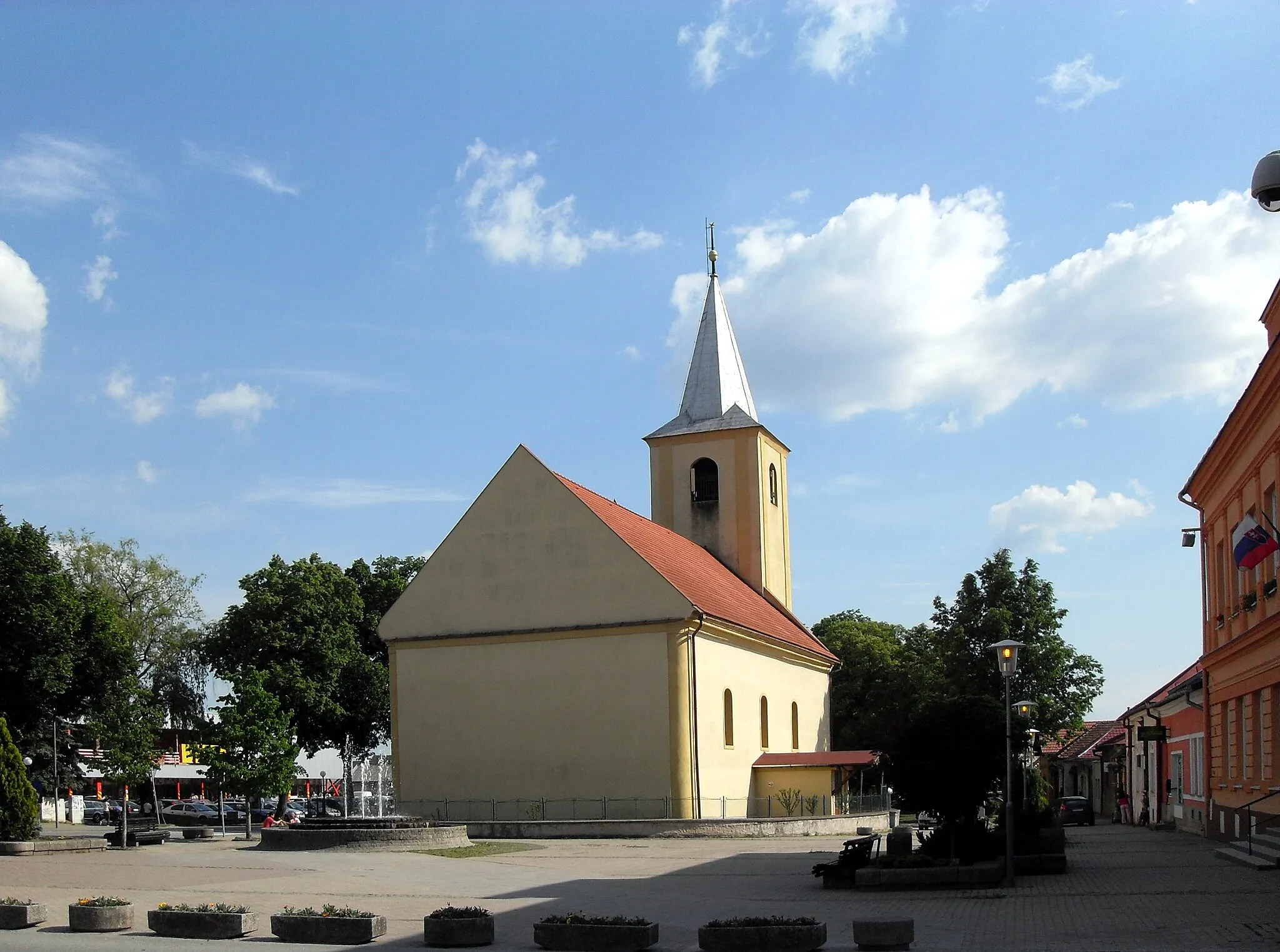
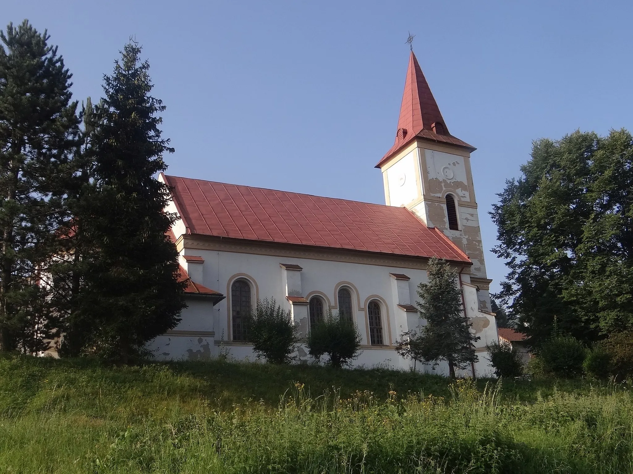
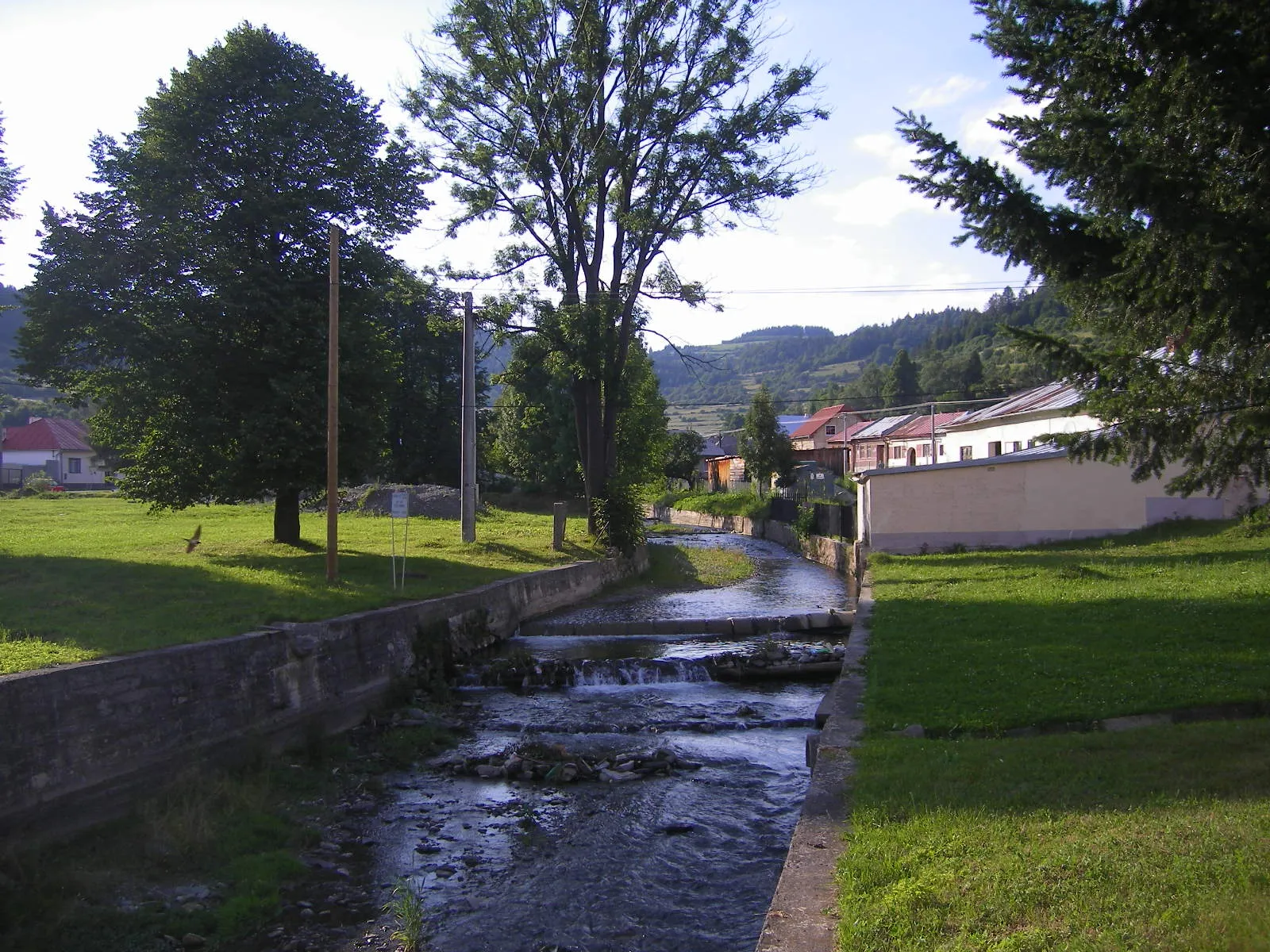
NálepkovoVillageNálepkovo, at the 53-kilometer mark, is a tranquil village set amidst dense forests and rolling meadows.
67 km
67 km
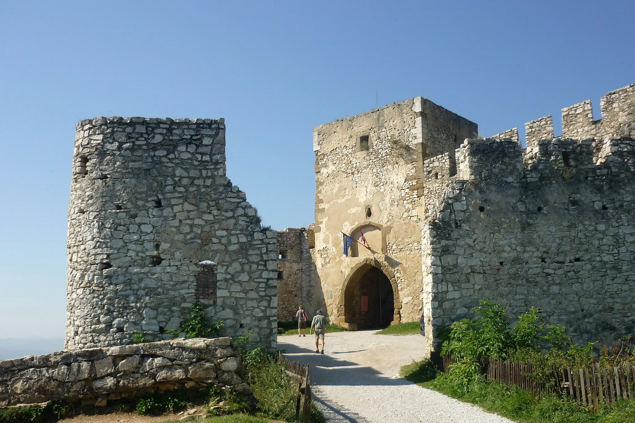
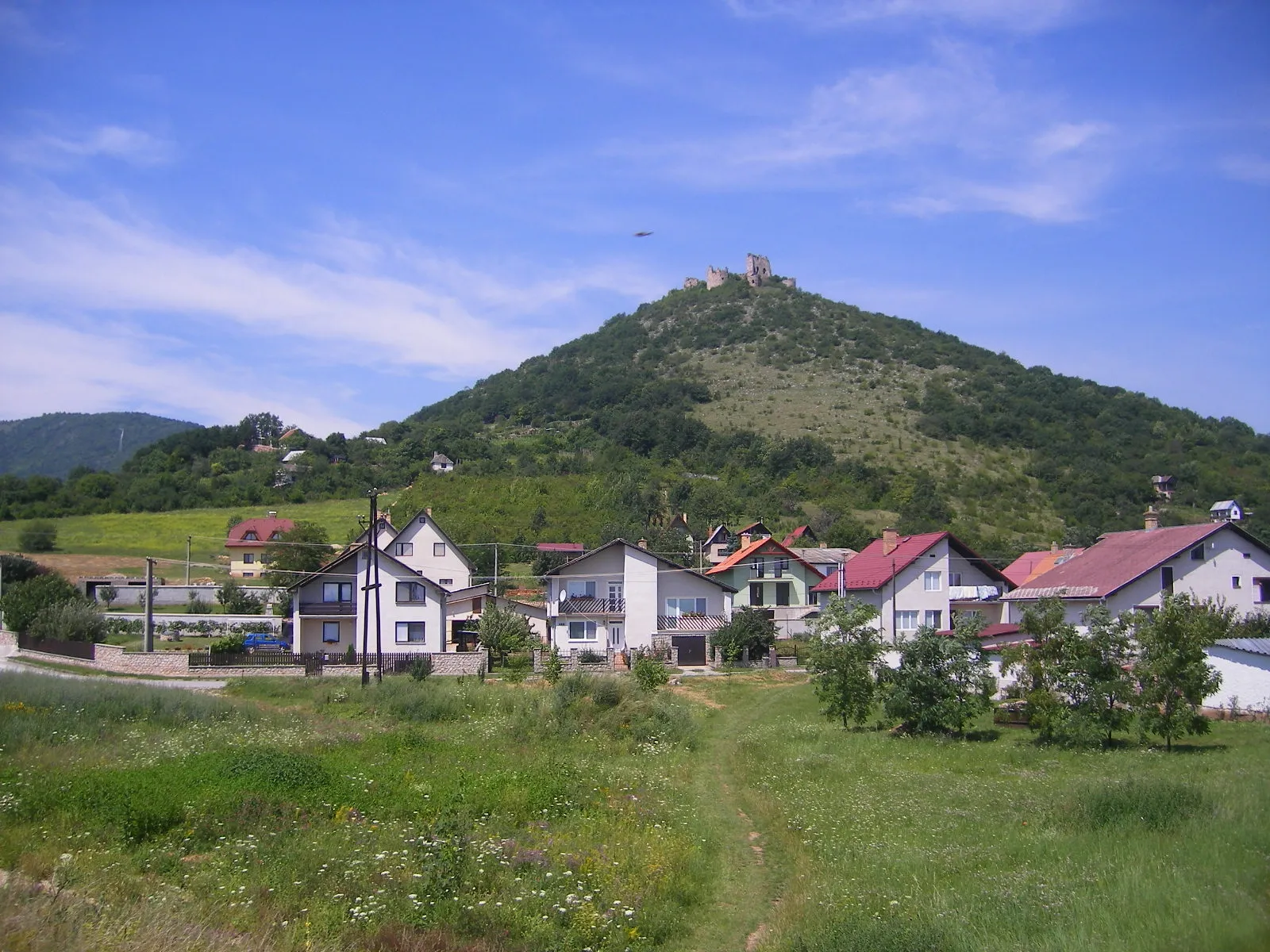
Holina880 mPeakHolina, located at the 67-kilometer mark, is a quiet village known for its traditional wooden houses and friendly locals.
82 km
82 km
Žakarovský vrch842 mPeakŽakarovský vrch, at the 82-kilometer mark, is a challenging climb that rewards cyclists with breathtaking panoramic views.
85 km
85 km
Finish: Gelnica City centerGelnica: Scenic rides and cultural exploration await cyclists in Gelnica.
Cycling routes from Gelnica:
Cycling routes nearby: