Gelnica and Mountain Peaks Road Trip
A road cycling route starting from Gelnica
A scenic road trip exploring Gelnica and the nearby mountain peaks
Map

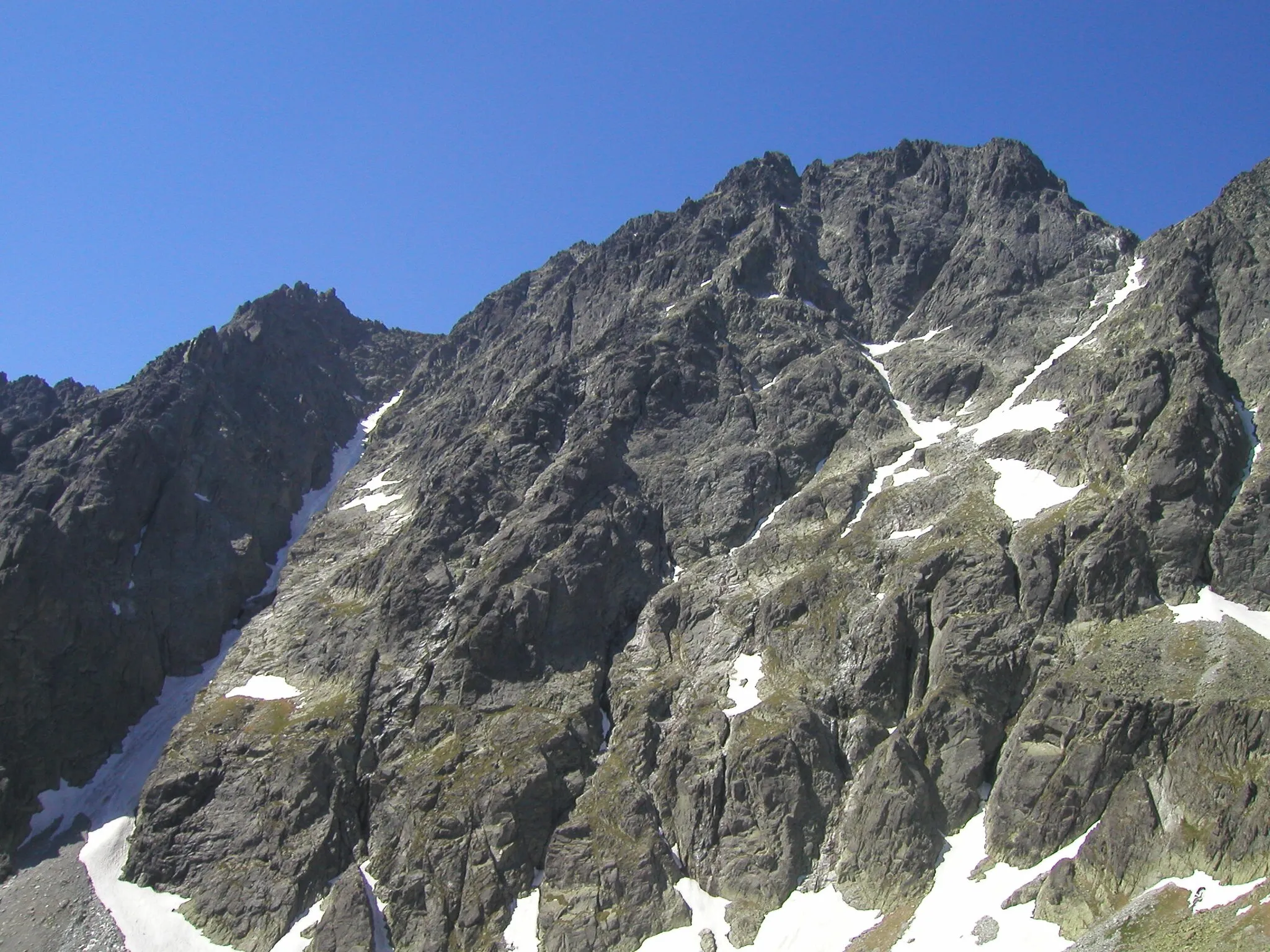
Discover the beauty of Gelnica and its surrounding mountain peaks on this captivating road cycling route. With a total ascent of 1,605 meters and a distance of 127 kilometers, this route is ideal for intermediate to advanced cyclists. Highlights along the way include Folkmarský kopec, Jahodná, Čečejovce, and Smolník. The difficulty of this route is rated 3 out of 5, offering a good challenge for cyclists with moderate fitness levels. The epicness of the route is rated 4 out of 5, thanks to its diverse terrain and stunning views.
road
127 km
1605 m
Tough
Route profile
Highlights on the route
0 km
0 km
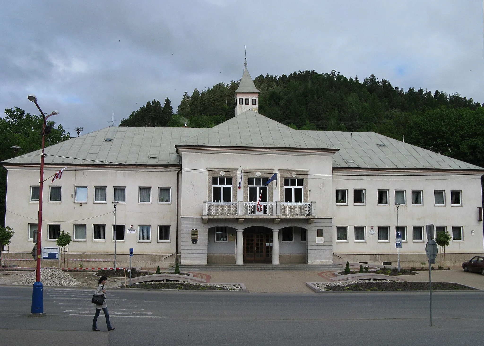
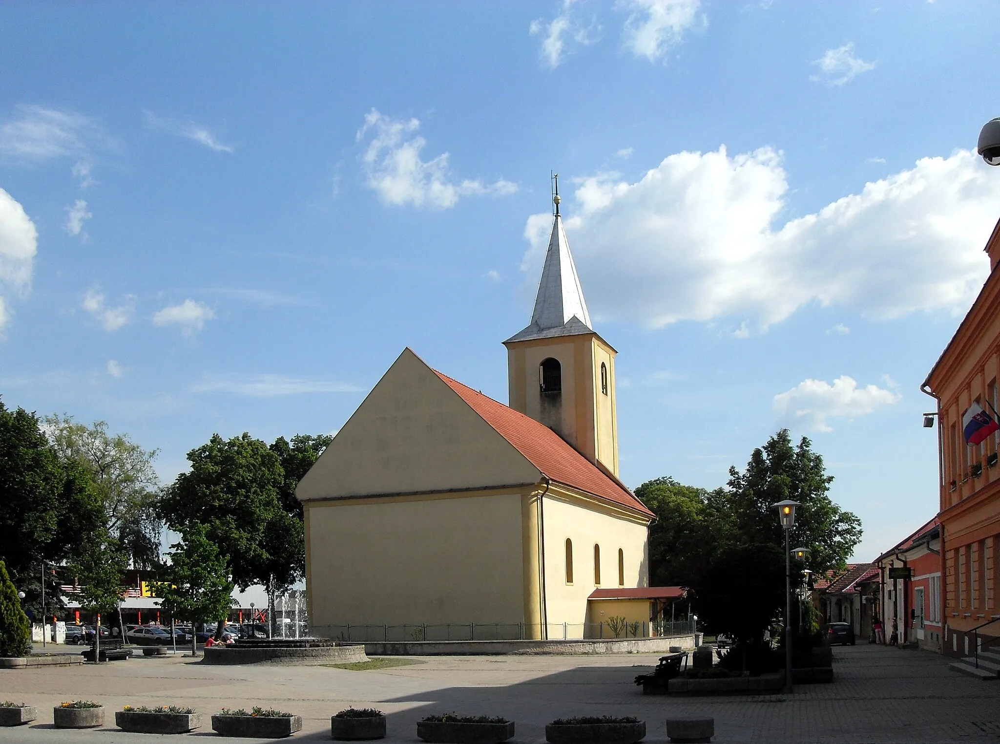
Start: Gelnica City centerGelnica: Scenic rides and cultural exploration await cyclists in Gelnica.
Gelnica, located in Východné Slovensko, Slovakia, offers moderate cycling opportunities. The local roads provide a mix of flat sections and some hilly terrain, suitable for both casual riders and more experienced cyclists. While Gelnica is not known for any famous cycling spots or well-known climbs nearby, the picturesque landscapes and peaceful atmosphere make it an enjoyable place for cycling excursions. Nearby attractions include the historic town center with various cultural sites and the nearby Slovak Paradise National Park, which offers additional outdoor activities for visitors.0 km
0 km
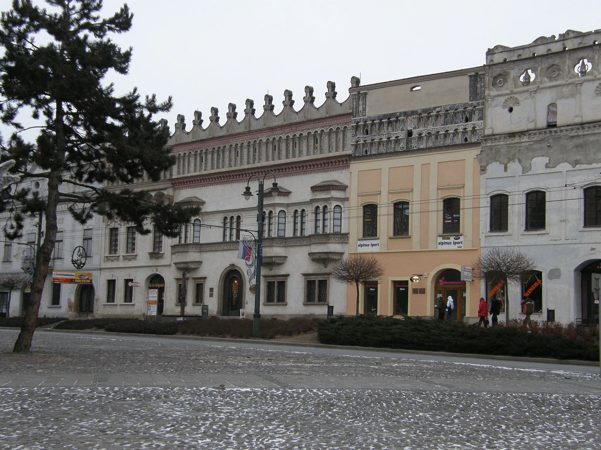
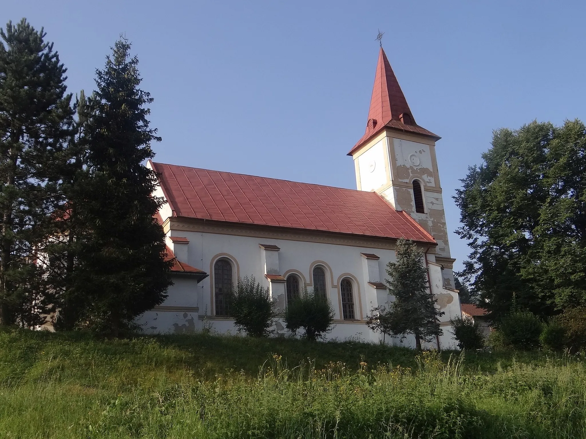
GelnicaCastleGelnica, the starting point of the route, is a historic town known for its mining heritage and charming architecture.
11 km
11 km
Folkmarský kopecViewpointClimb up Folkmarský kopec, located at the 11-kilometer mark, for sweeping views of the surrounding landscape.
28 km
28 km
Jahodná719 mPeakJahodná, at the 28-kilometer mark, is a popular hiking spot and offers breathtaking vistas of the Slovakian countryside.
42 km
42 km
Malá IdaVillageMalá Ida, at the 42-kilometer mark, is a picturesque village with traditional wooden houses.
58 km
58 km
ČečejovceVillageČečejovce, at the 58-kilometer mark, is a quaint village renowned for its hospitality and delicious local cuisine.
74 km
74 km
Lipovec364 mPeakLipovec, located at the 74-kilometer mark, is a hidden gem nestled amidst lush forests and rolling hills.
80 km
80 km
MedzevTownMedzev, at the 80-kilometer mark, is famous for its unique sandstone formations and open-air museum.
96 km
96 km
Štóske sedlo798 mMountain PassŠtóske sedlo, at the 96-kilometer mark, is a challenging pass offering stunning views of the surrounding mountains.
101 km
101 km
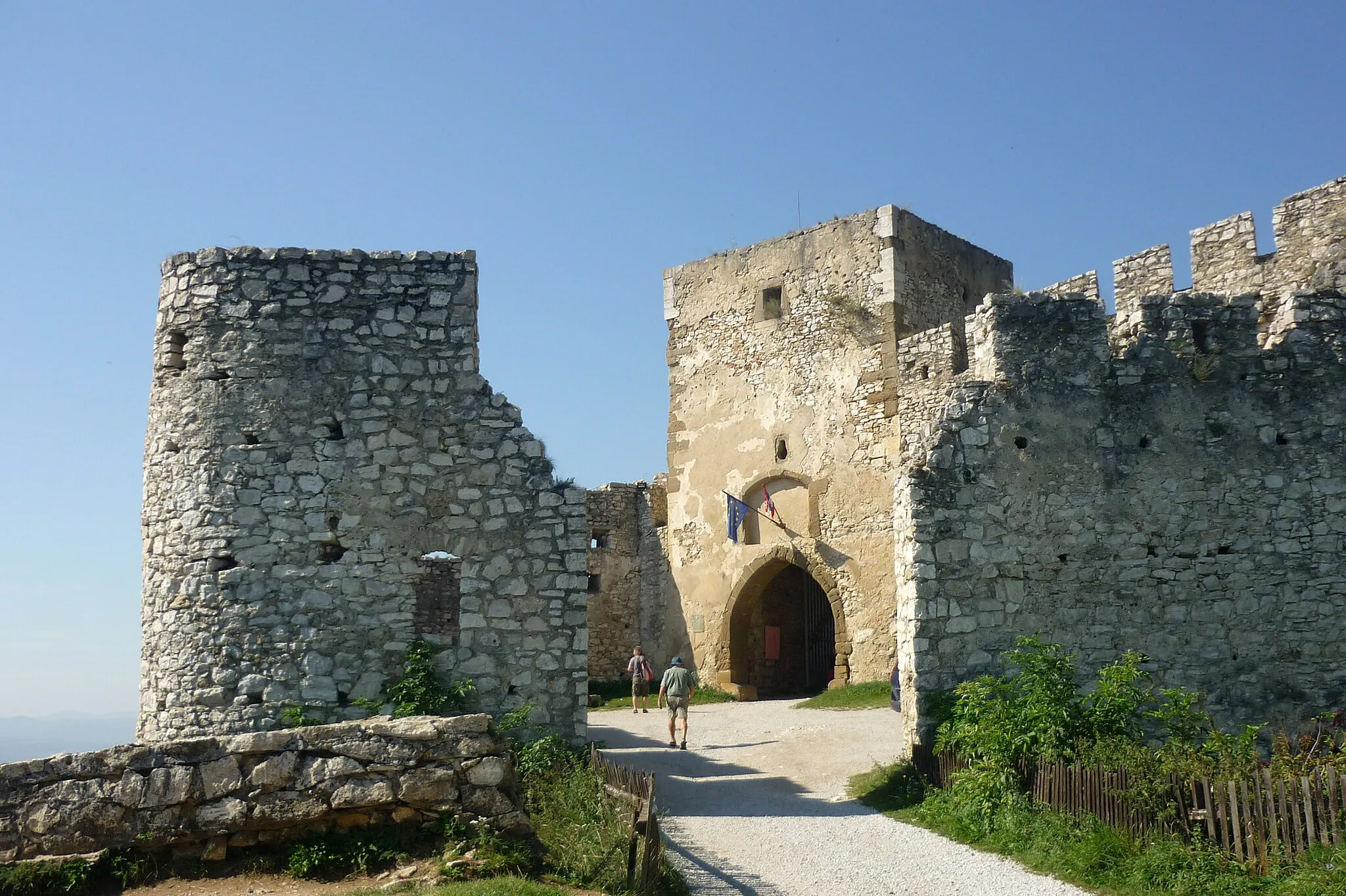
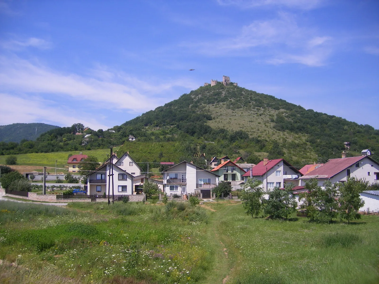
SmolníkVillageSmolník, located at the 101-kilometer mark, is a charming village with a well-preserved medieval fortress.
110 km
110 km
Ostrý vrch666 mPeakOstrý vrch, at the 110-kilometer mark, is a must-visit for its panoramic views of the entire region.
111 km
111 km
Mníšek nad HnilcomVillageMníšek nad Hnilcom, at the 111-kilometer mark, is a peaceful monastery surrounded by serene natural beauty.
121 km
121 km
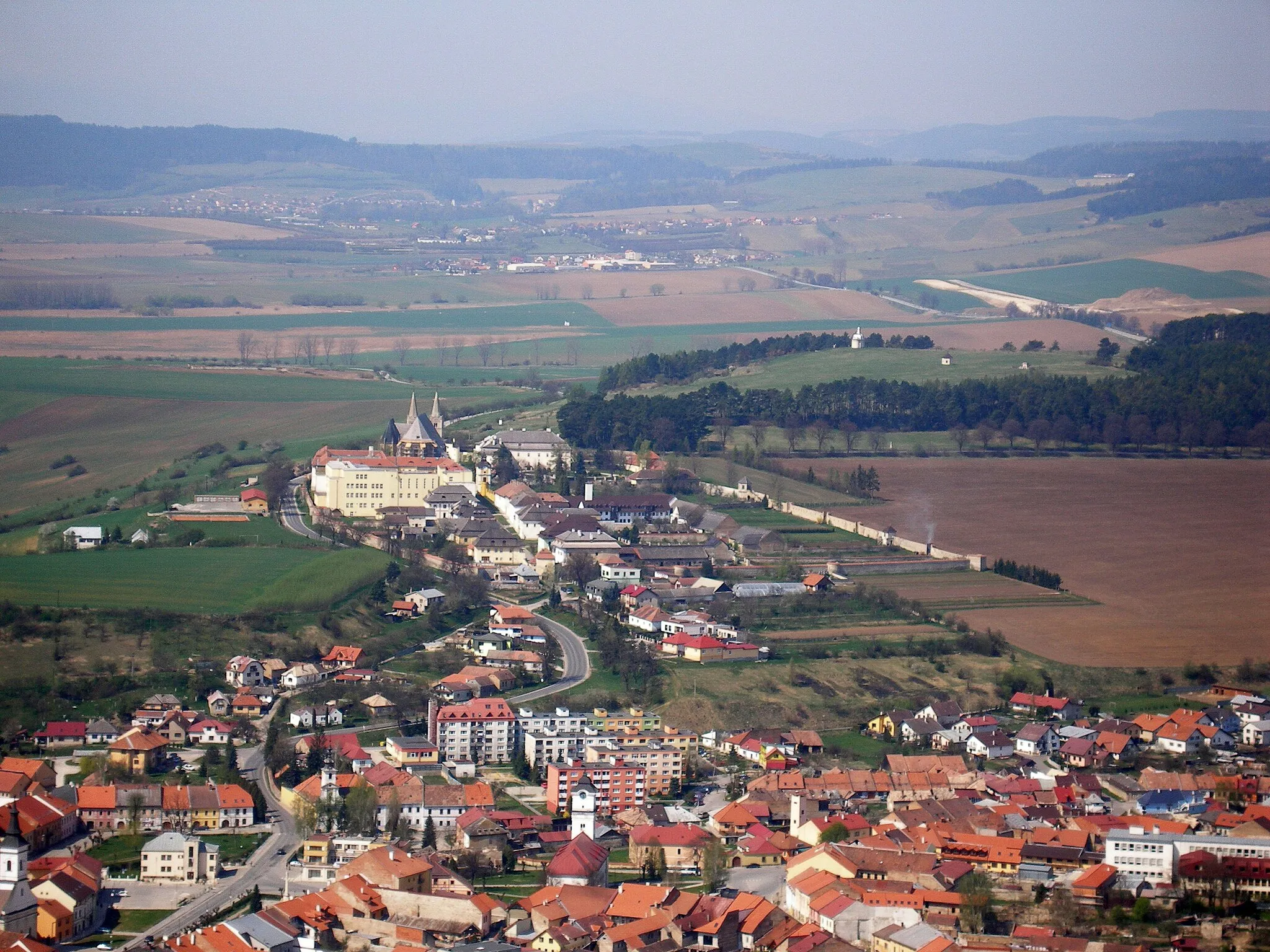
PrakovceVillagePrakovce, located at the 121-kilometer mark, is an idyllic village known for its historic churches and friendly locals.
127 km
127 km
Finish: Gelnica City centerGelnica: Scenic rides and cultural exploration await cyclists in Gelnica.
Cycling routes from Gelnica:
Cycling routes nearby: