The Road Explorer
A road cycling route starting from Gelnica
A road cycling journey through scenic beauty
Map
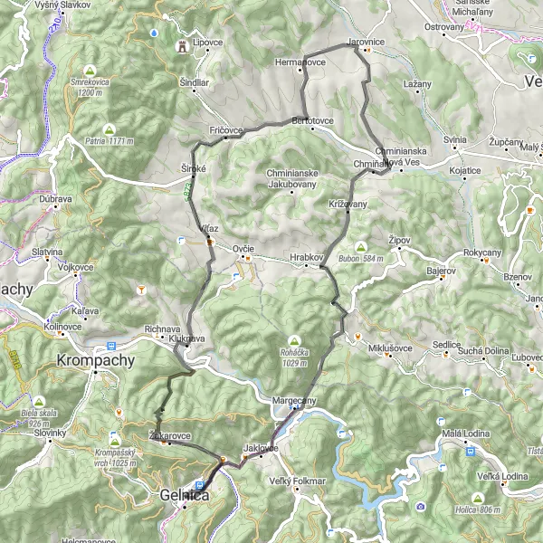
Embark on the road journey of a lifetime with this 70 km round-trip route. With an ascent of 1294m, it is suitable for experienced cyclists. Along the way, you'll encounter enchanting villages and captivating landscapes, providing you with a glimpse into the cultural and natural treasures of Východné Slovensko.
road
70 km
1294 m
Tough
Route profile
Highlights on the route
0 km
0 km
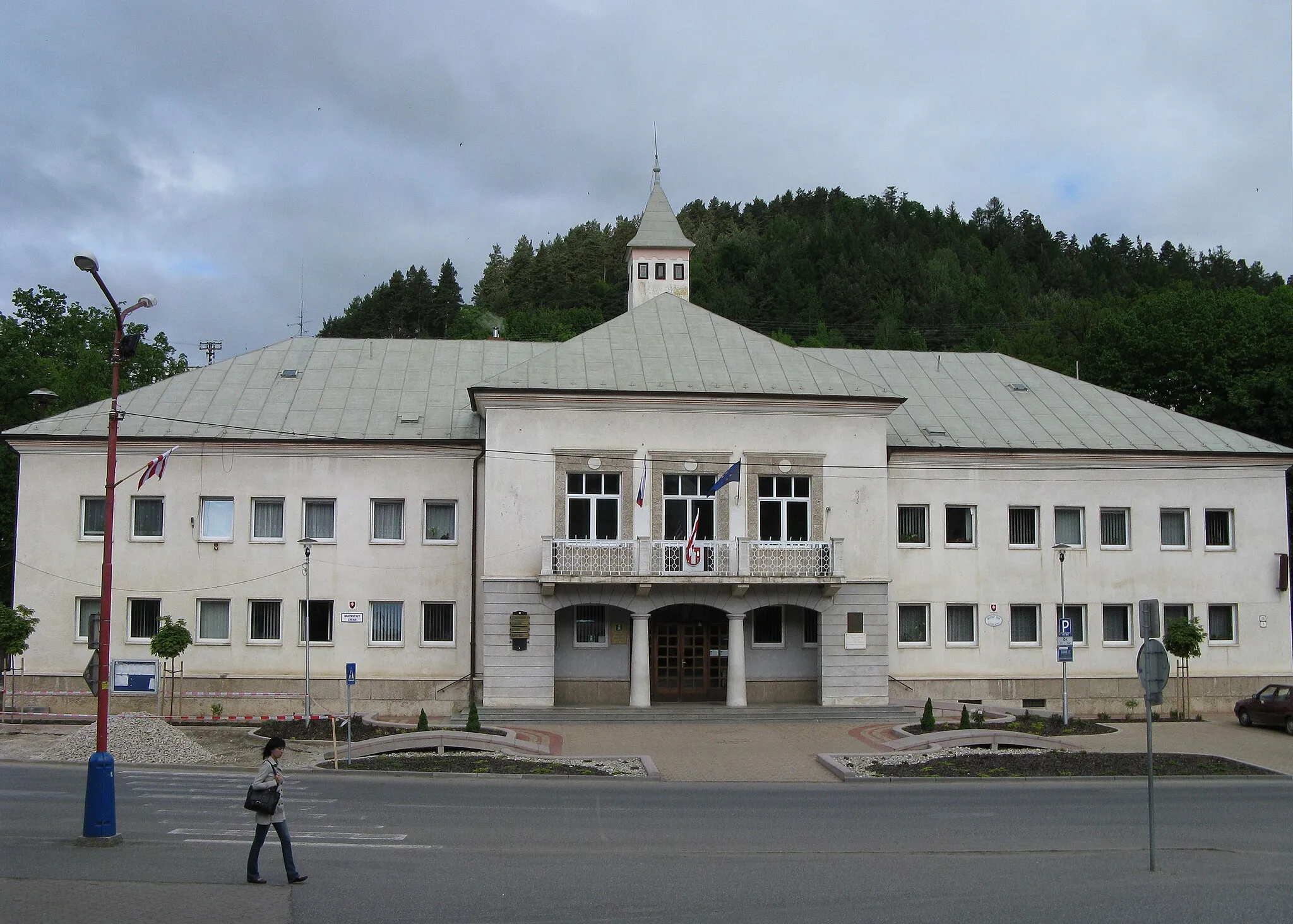
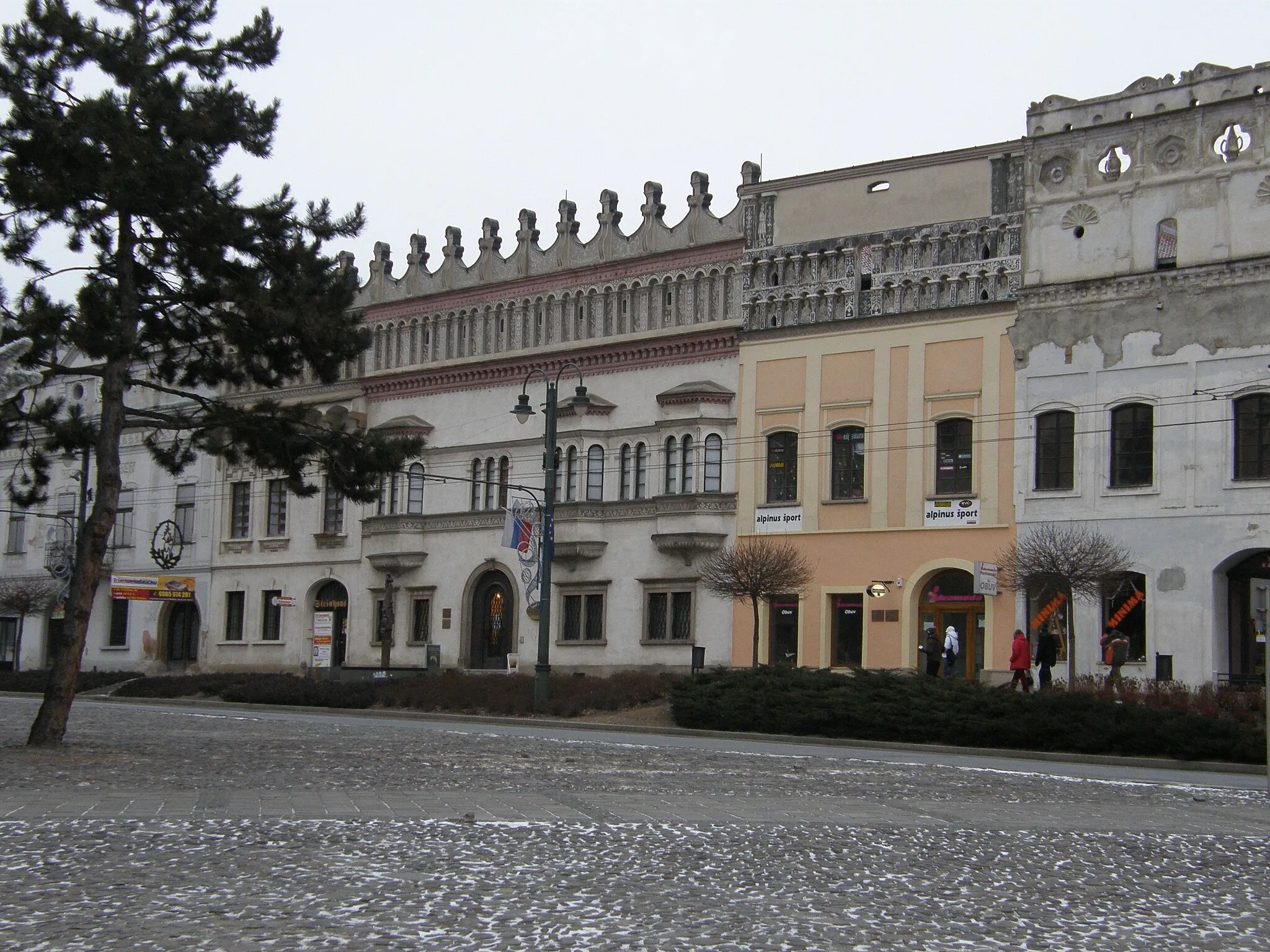
Start: Gelnica City centerGelnica: Scenic rides and cultural exploration await cyclists in Gelnica.
Gelnica, located in Východné Slovensko, Slovakia, offers moderate cycling opportunities. The local roads provide a mix of flat sections and some hilly terrain, suitable for both casual riders and more experienced cyclists. While Gelnica is not known for any famous cycling spots or well-known climbs nearby, the picturesque landscapes and peaceful atmosphere make it an enjoyable place for cycling excursions. Nearby attractions include the historic town center with various cultural sites and the nearby Slovak Paradise National Park, which offers additional outdoor activities for visitors.5 km
5 km
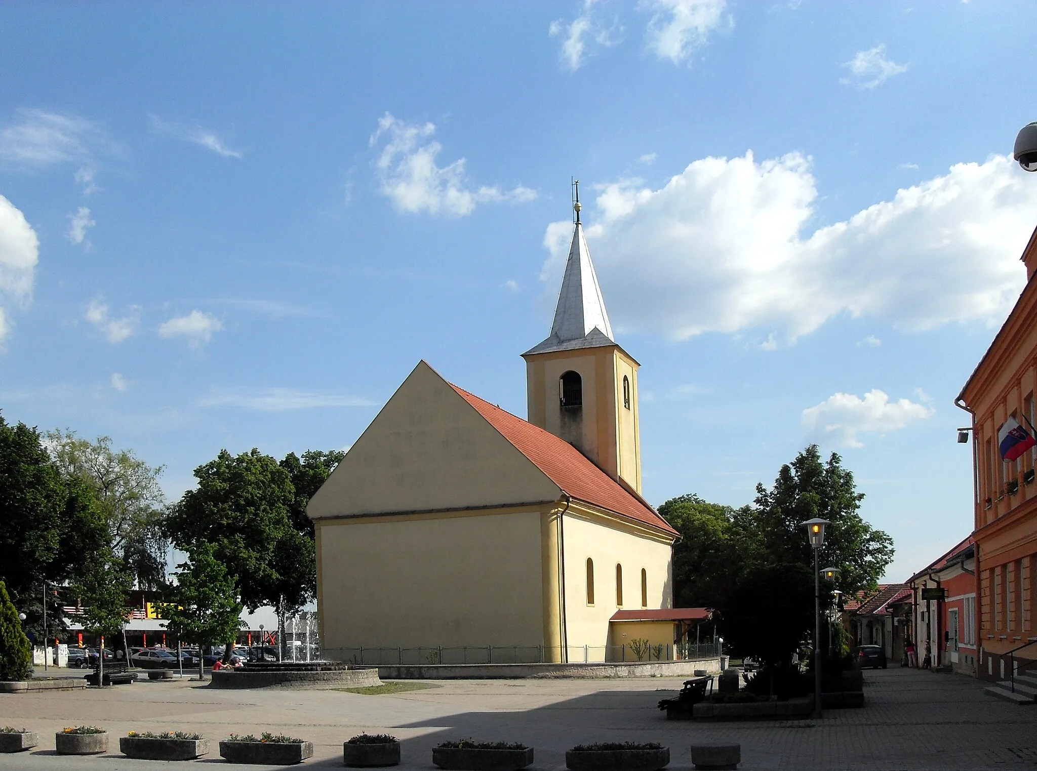
ŽakarovceVillageAt 5 km, Žakarovce charms visitors with its traditional rural architecture and friendly locals.
11 km
11 km
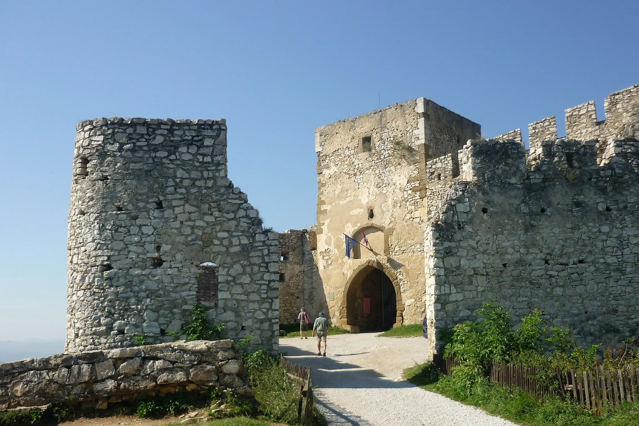
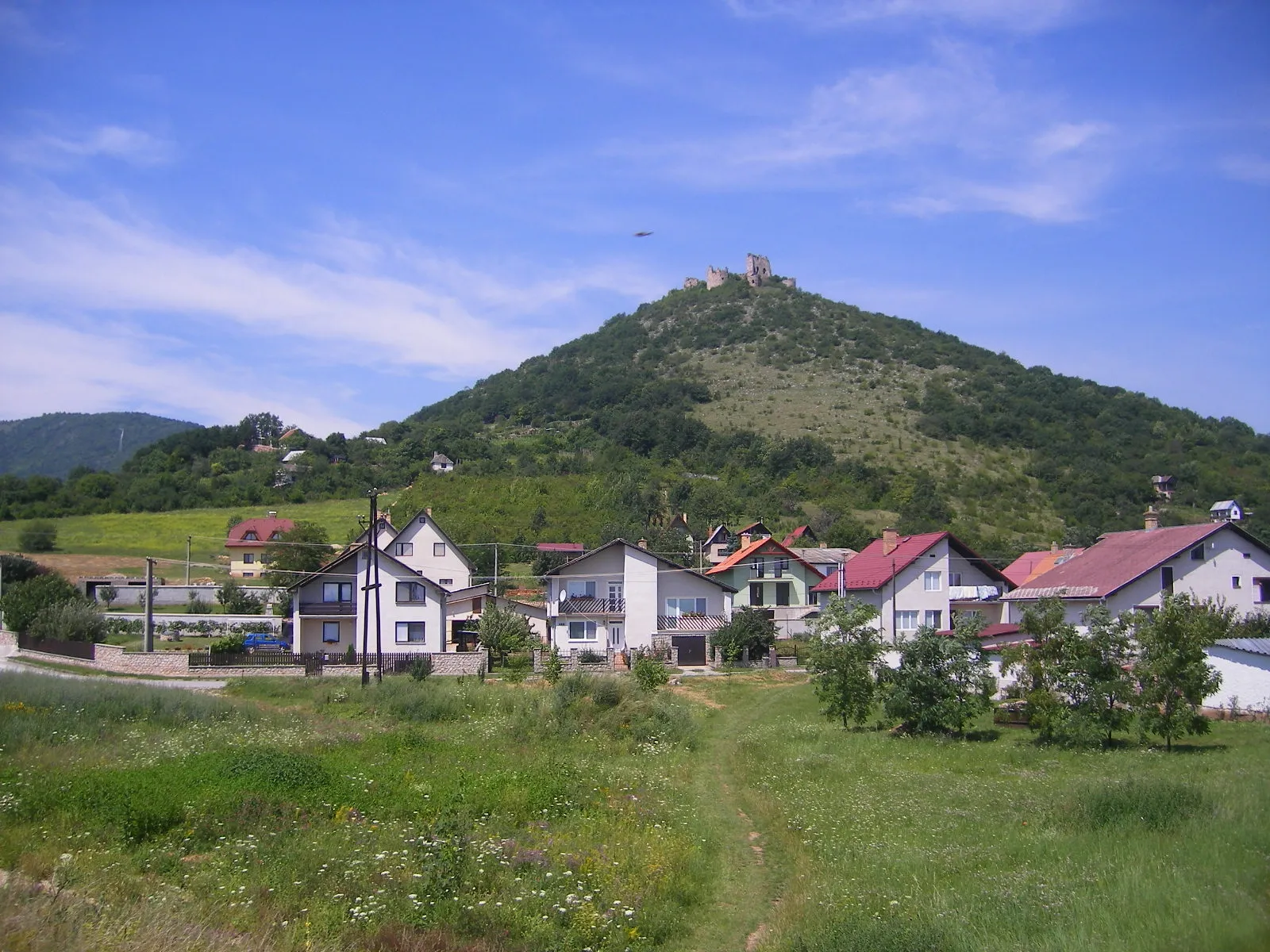
Petrova hora615 mPeakClimb the exhilarating Petrova hora at the 11 km mark to enjoy breathtaking views of the surrounding valleys and mountains.
27 km
27 km
FričovceVillageFričovce awaits you at the 27 km mark, offering a serene lakeside experience perfect for picnics.
34 km
34 km
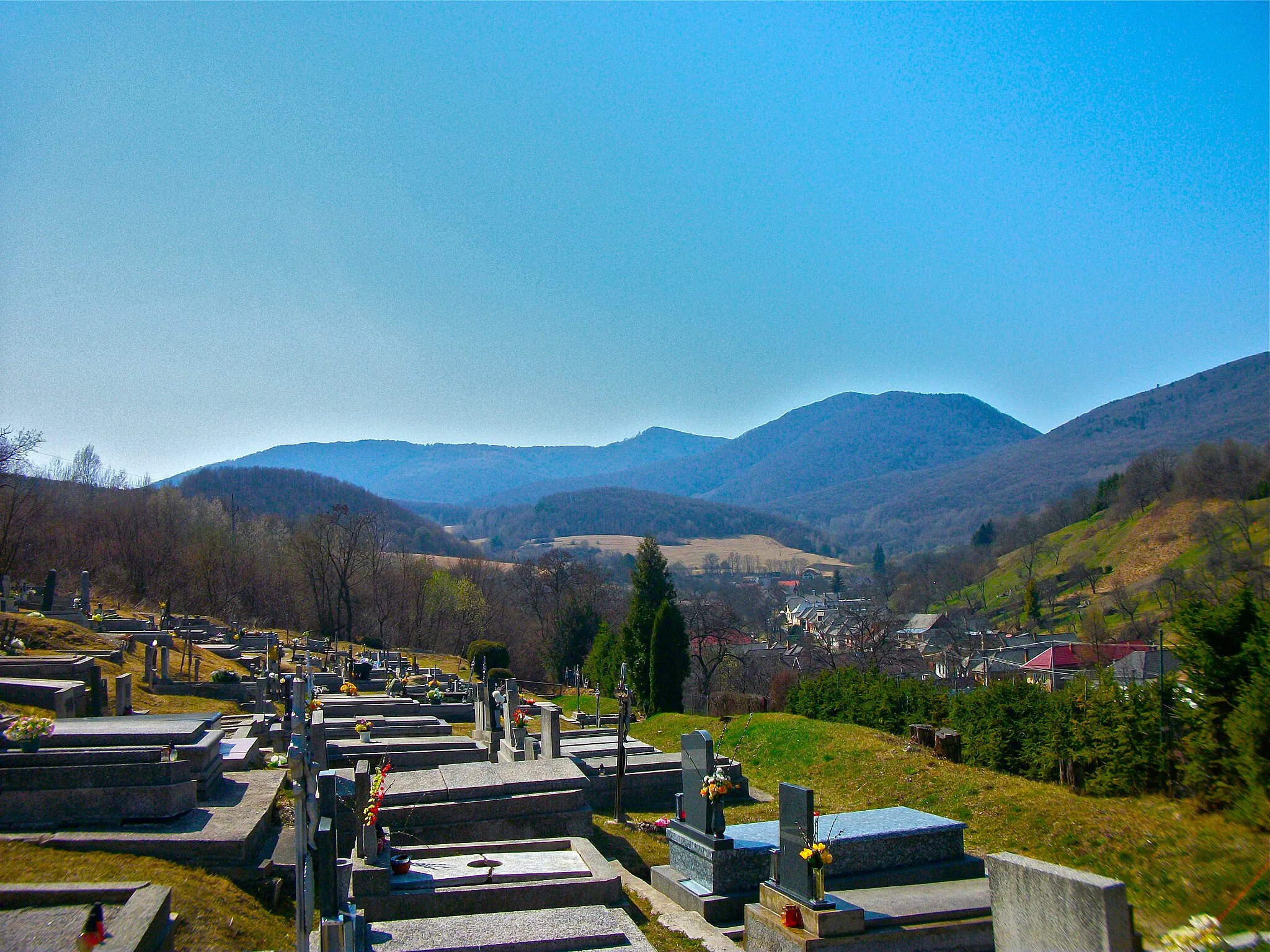
HermanovceVillageDiscover the enchanting village of Hermanovce at the 34 km mark, known for its historical landmarks and picturesque surroundings.
39 km
39 km
Sýkorov566 mPeakVisit Sýkorov at 39 km, a small village famous for its traditional handicrafts and vibrant folk culture.
46 km
46 km
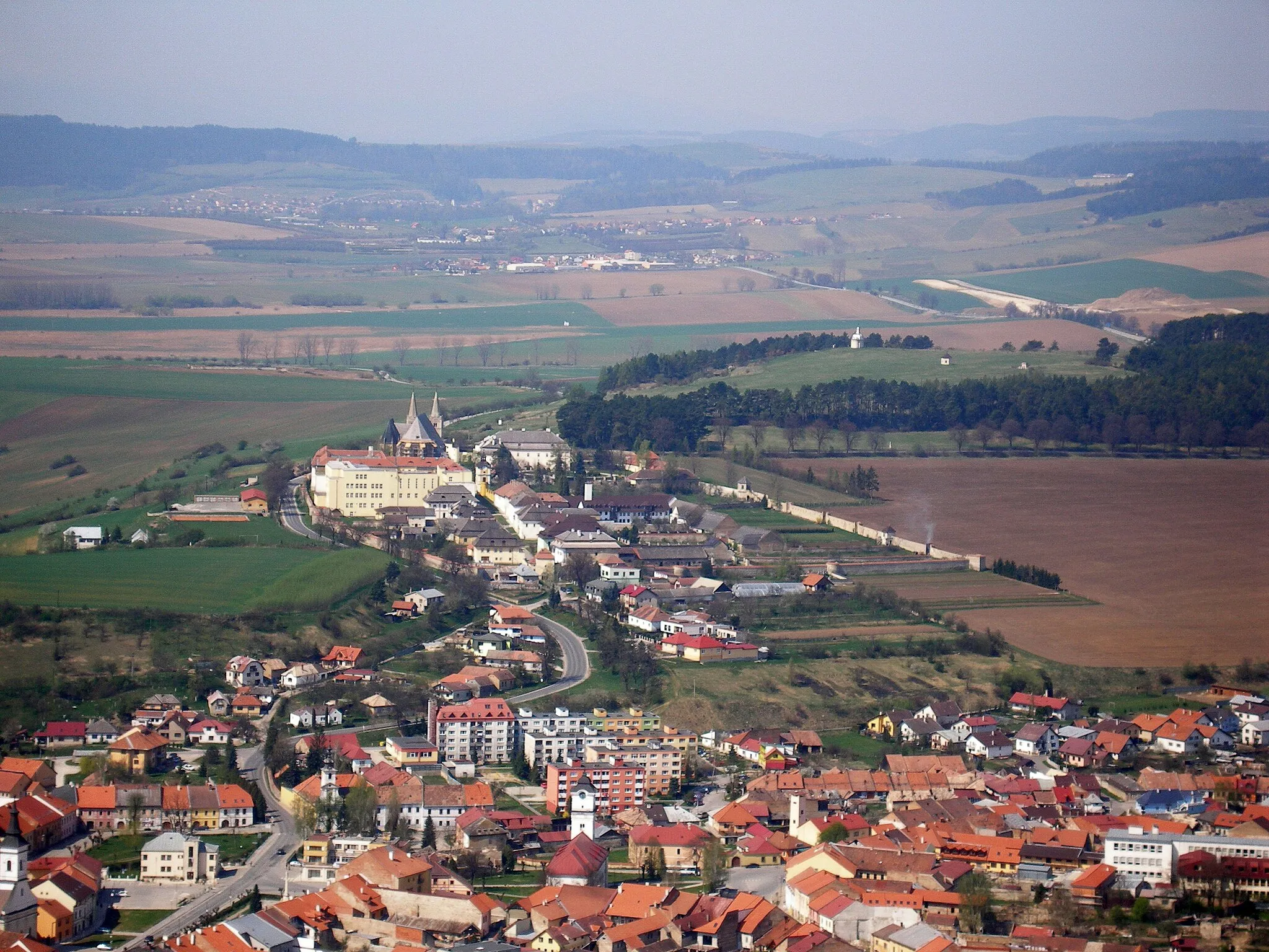
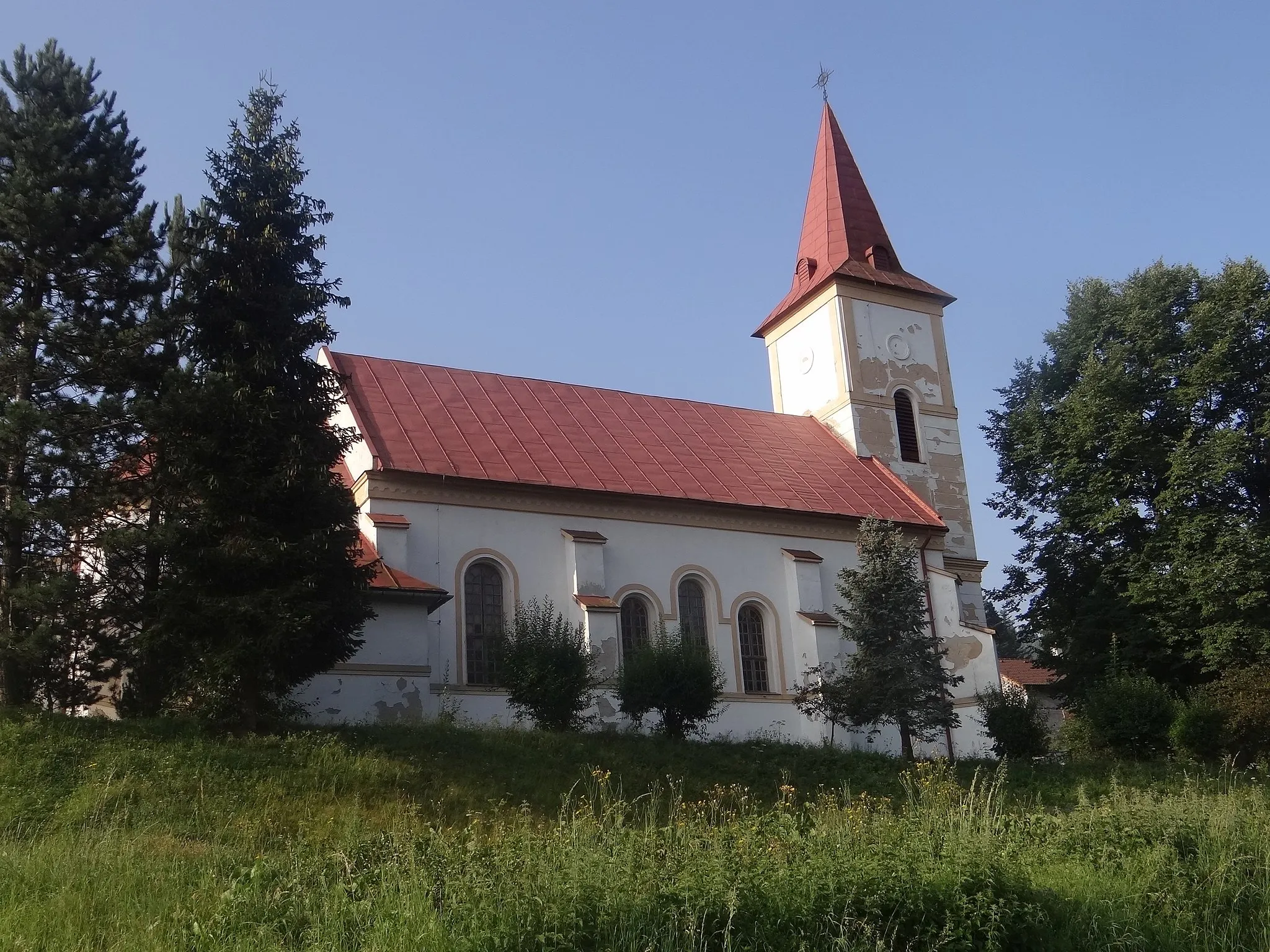
ChmiňanyVillageChmiňany, located at 46 km, is home to an ancient wooden church renowned for its intricate architectural details.
54 km
54 km
Kamenný laz711 mPeakExperience the breathtaking engineering marvel of Kamenný laz at 54 km, a stone arch bridge spanning a tranquil river.
62 km
62 km
MargecanyVillageMargecany, your final highlight at 62 km, offers beautiful nature trails and a glimpse into the region's rich history.
70 km
70 km
Finish: Gelnica City centerGelnica: Scenic rides and cultural exploration await cyclists in Gelnica.
Cycling routes from Gelnica:
Cycling routes nearby: