Eastern Slovakia Gravel Delight
A gravel cycling route starting from Gelnica
Experience the thrill of gravel cycling on this exciting route in Eastern Slovakia
Map

Immerse yourself in the natural beauty of Eastern Slovakia on this 91-kilometer gravel cycling adventure. With a demanding ascent of 2,943 meters, this route will test the endurance and skills of any gravel cyclist. Highlights along the way include Krompachy, Brána, Smrekovica, Vyšný Slavkov, and Špicatý vrch. The difficulty of this route is rated 5 out of 5, making it suitable for highly skilled and trained gravel cyclists. The epicness of the route is rated 4 out of 5, thanks to its diverse terrain and stunning vistas.
gravel
91 km
2943 m
Savage
Route profile
Highlights on the route
0 km
0 km
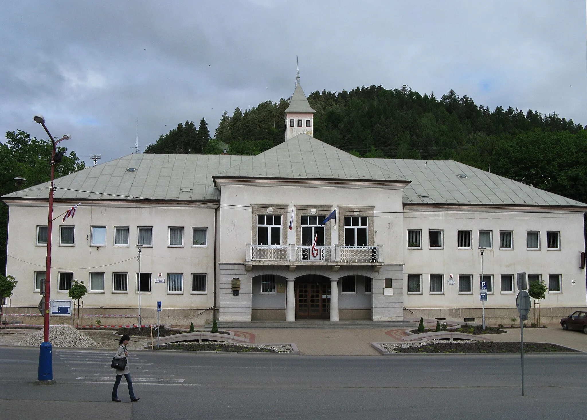
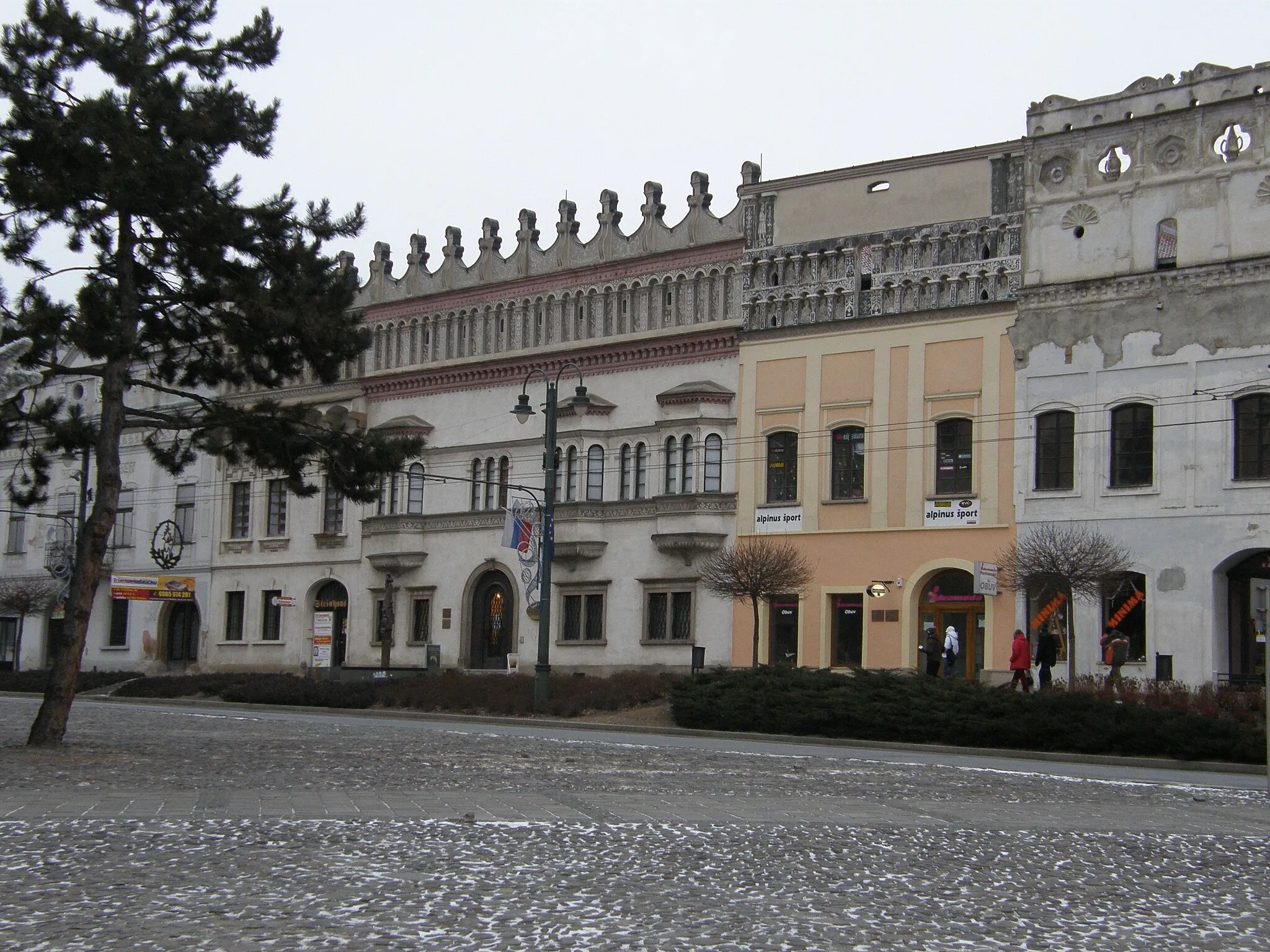
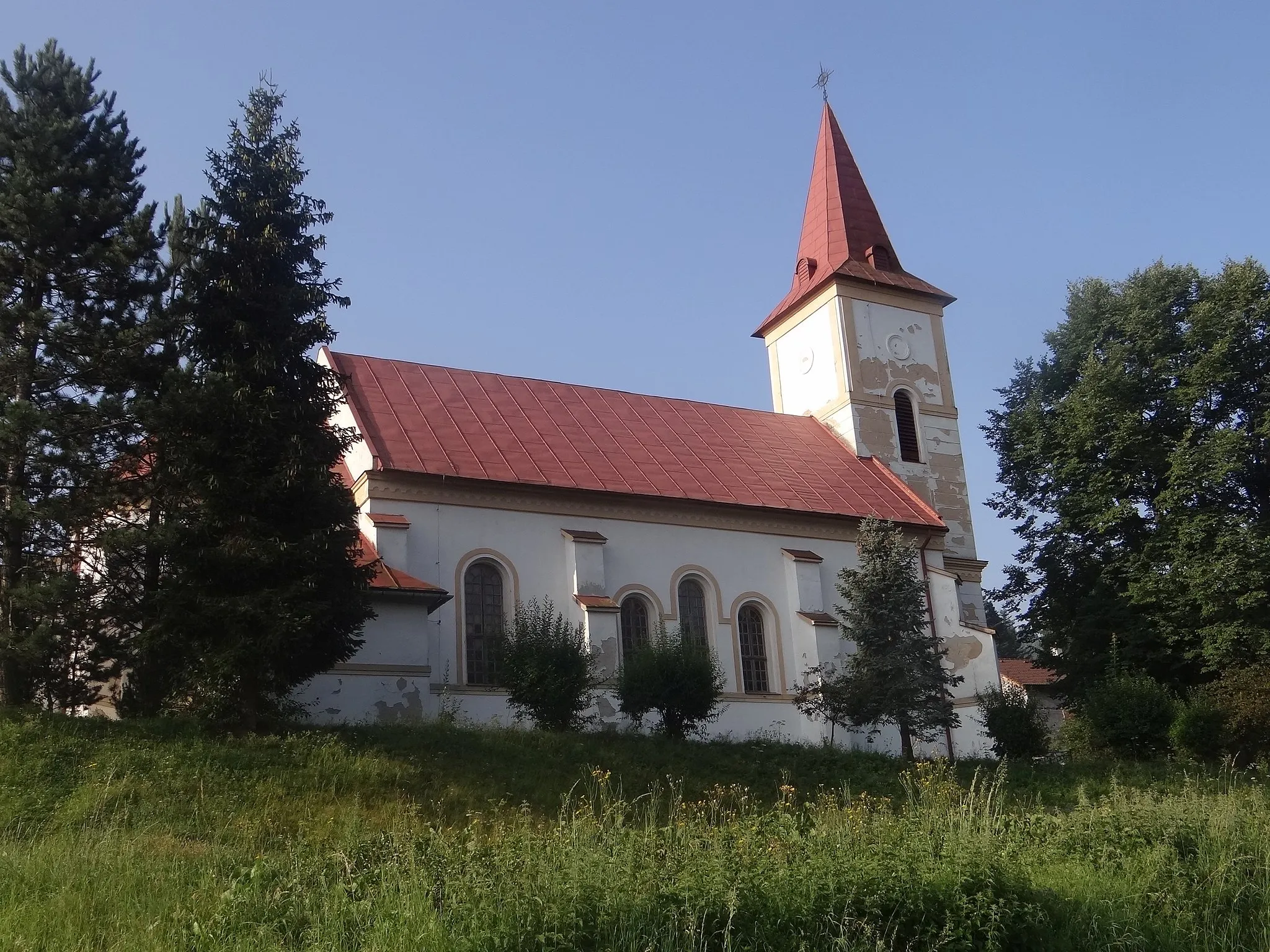
Start: Gelnica City centerGelnica: Scenic rides and cultural exploration await cyclists in Gelnica.
Gelnica, located in Východné Slovensko, Slovakia, offers moderate cycling opportunities. The local roads provide a mix of flat sections and some hilly terrain, suitable for both casual riders and more experienced cyclists. While Gelnica is not known for any famous cycling spots or well-known climbs nearby, the picturesque landscapes and peaceful atmosphere make it an enjoyable place for cycling excursions. Nearby attractions include the historic town center with various cultural sites and the nearby Slovak Paradise National Park, which offers additional outdoor activities for visitors.12 km
12 km
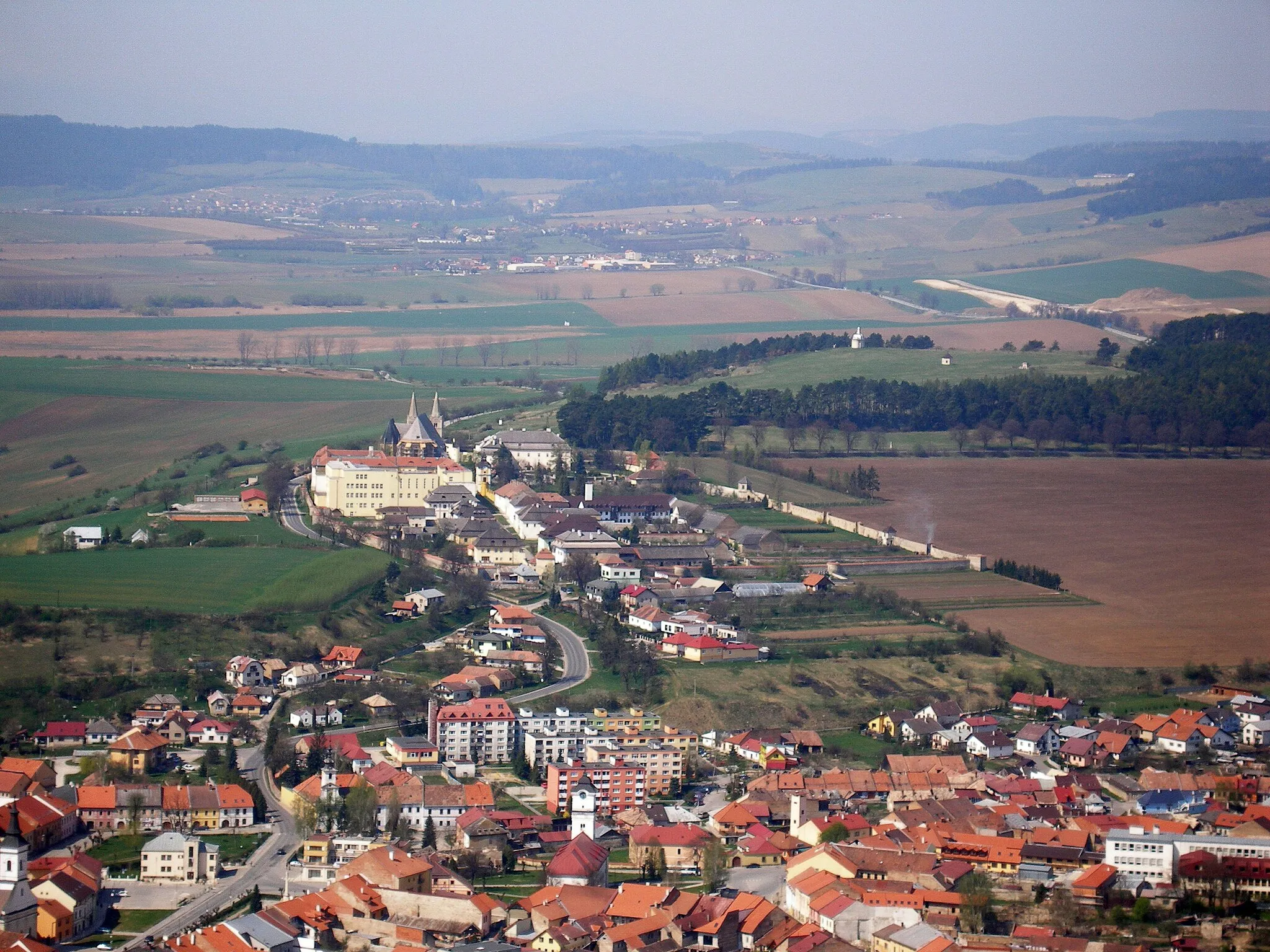
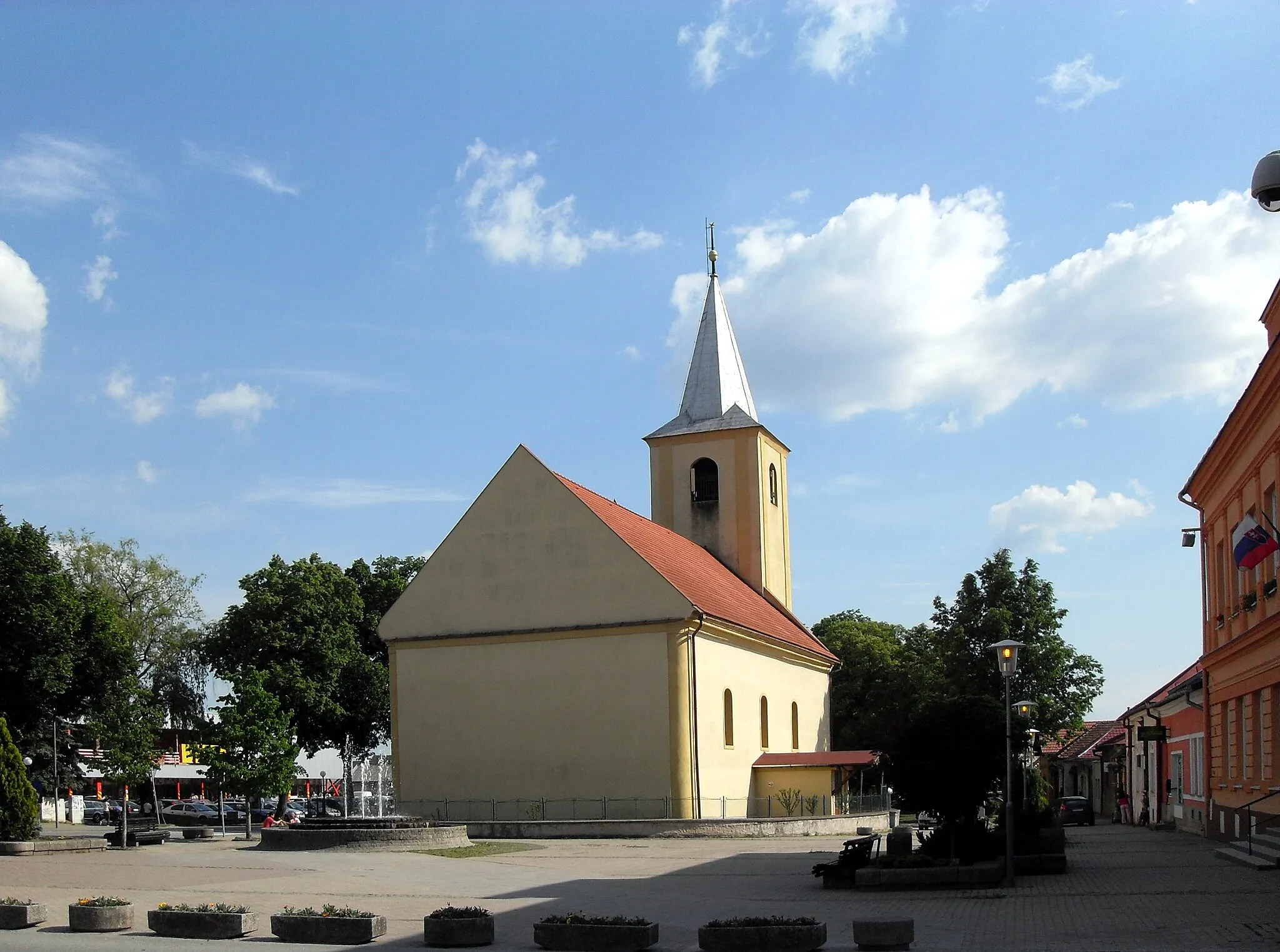
KrompachyTownKrompachy, located at the 12-kilometer mark, is a historic town with medieval roots and a rich cultural heritage.
15 km
15 km
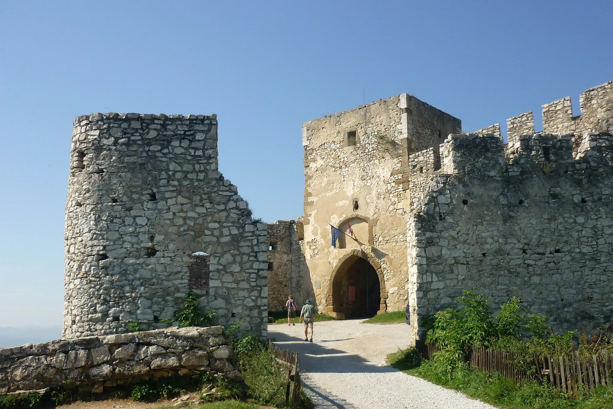
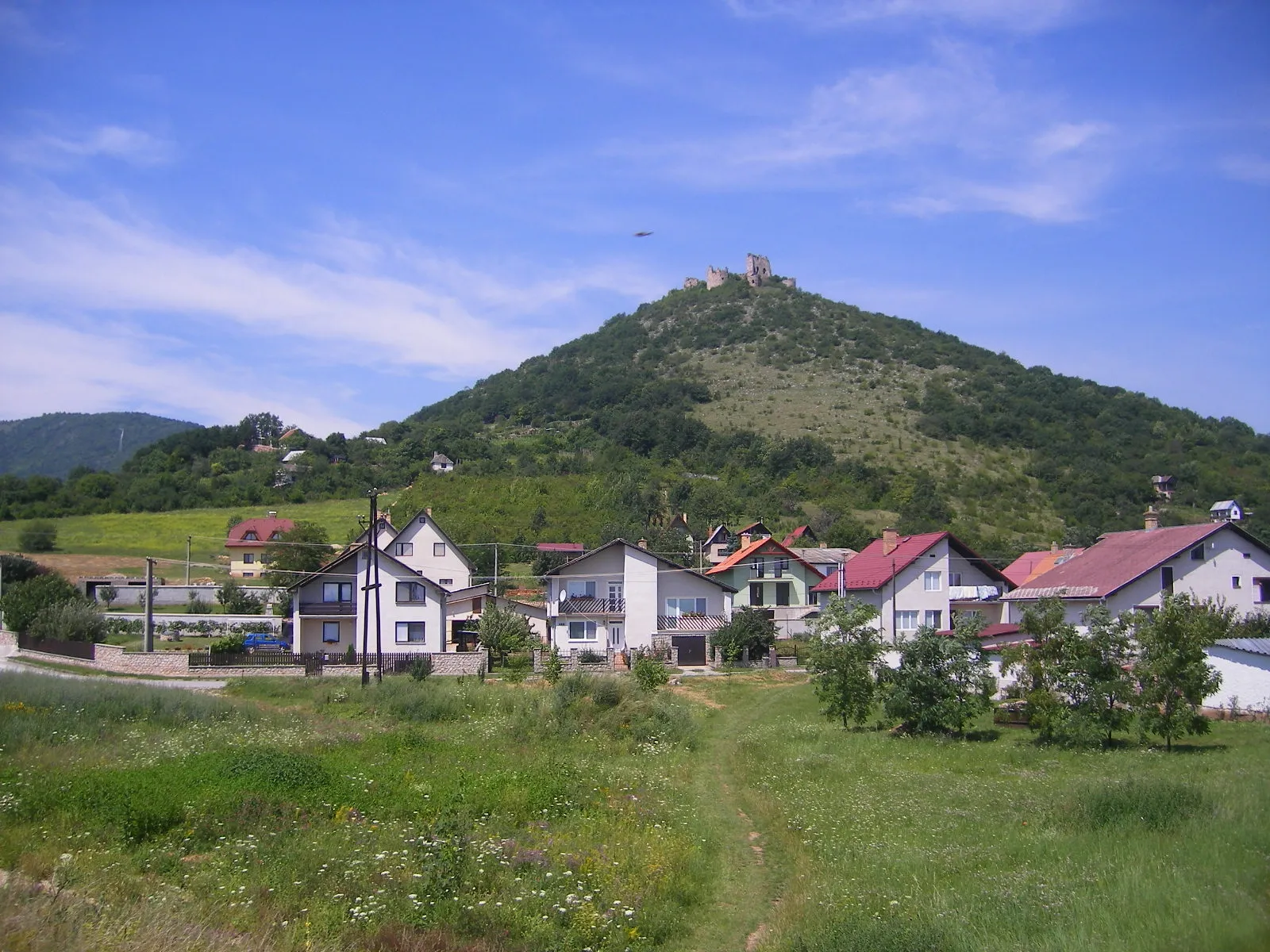
Brána552 mPeakBrána, at the 15-kilometer mark, is a breathtaking natural rock gate that marks the entrance to monumental landscapes.
37 km
37 km
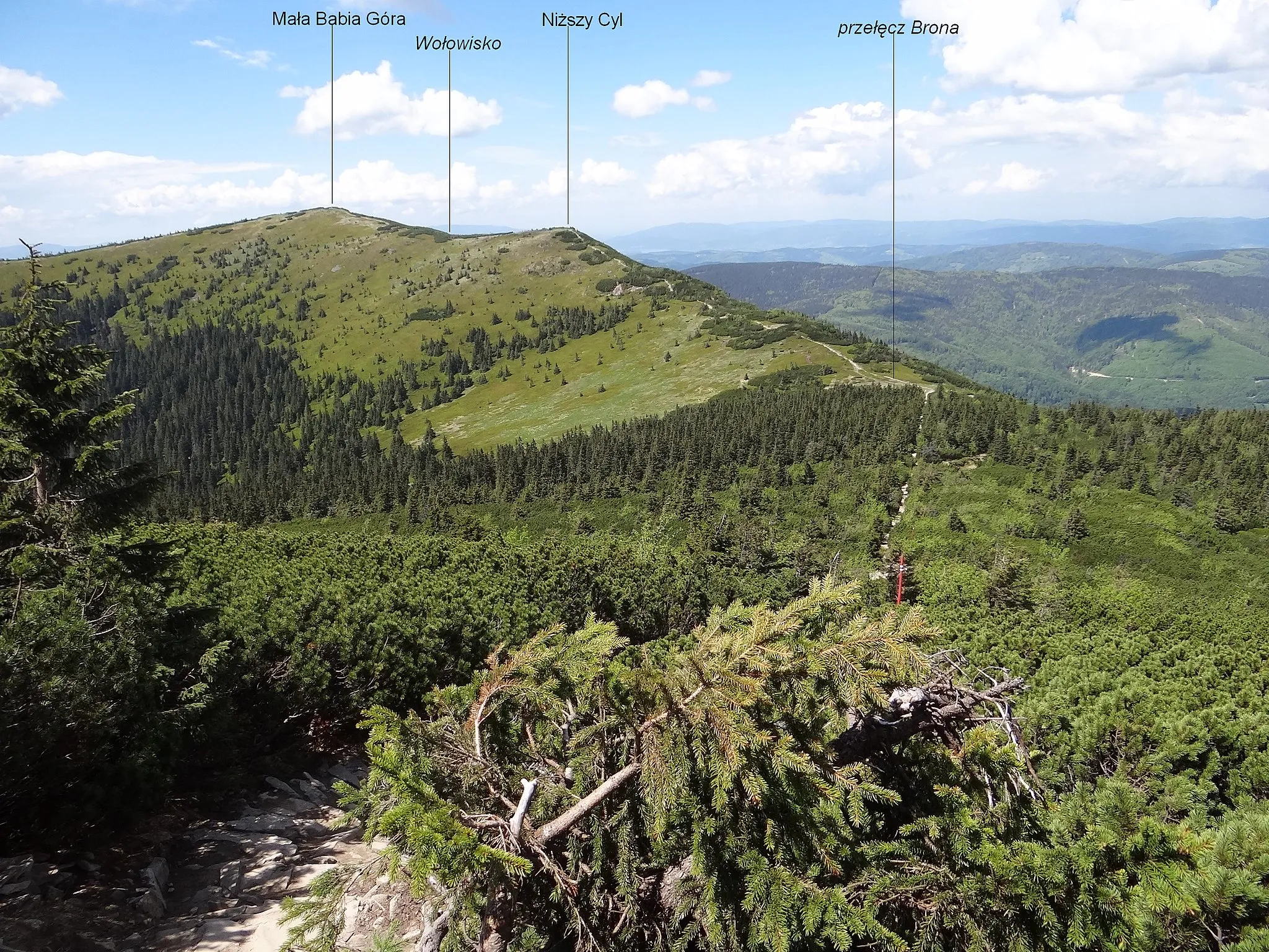
Smrekovica1200 mViewpointSmrekovica, at the 37-kilometer mark, is a charming mountain village famous for its traditional log cabins and pristine nature.
45 km
45 km
Vyšný SlavkovVillageVyšný Slavkov, located at the 45-kilometer mark, is a quaint town nestled amidst lush greenery and rolling hills.
58 km
58 km
Galia731 mPeakGalia, at the 58-kilometer mark, is a picturesque village known for its traditional crafts and warm hospitality.
68 km
68 km
VíťazVillageVíťaz, located at the 68-kilometer mark, offers panoramic views of the surrounding mountains and valleys.
76 km
76 km
Petrova hora615 mPeakPetrova hora, at the 76-kilometer mark, is a challenging climb that rewards cyclists with stunning vistas of the Slovakian landscape.
86 km
86 km
ŽakarovceVillageŽakarovce, at the 86-kilometer mark, is a quaint village known for its preserved folk traditions and traditional architecture.
88 km
88 km
Špicatý vrch783 mPeakŠpicatý vrch, located at the 88-kilometer mark, is a hidden gem offering magnificent views of the surrounding countryside.
91 km
91 km
Finish: Gelnica City centerGelnica: Scenic rides and cultural exploration await cyclists in Gelnica.
Cycling routes from Gelnica:
Cycling routes nearby: