The Gravel Adventure
A gravel cycling route starting from Gelnica
An exhilarating gravel route with stunning highlights
Map

This picturesque round-trip gravel route near Gelnica offers a thrilling adventure for cyclists. With a total distance of 93 km and an ascent of 2656m, it is suitable for intermediate to advanced riders. The route takes you through scenic landscapes and charming villages, allowing you to explore the beautiful natural surroundings of Východné Slovensko.
gravel
93 km
2656 m
Tough
Route profile
Highlights on the route
0 km
0 km
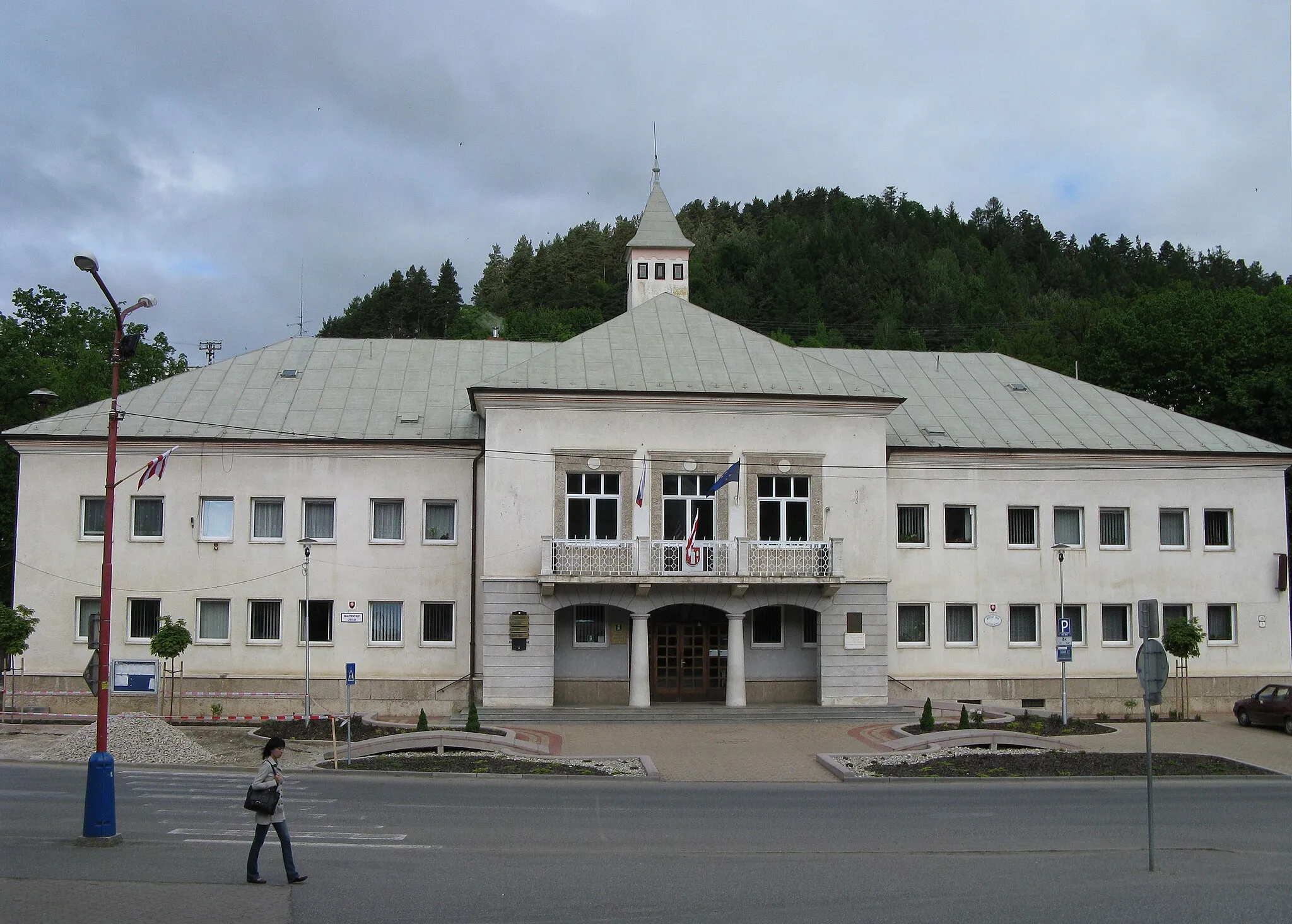
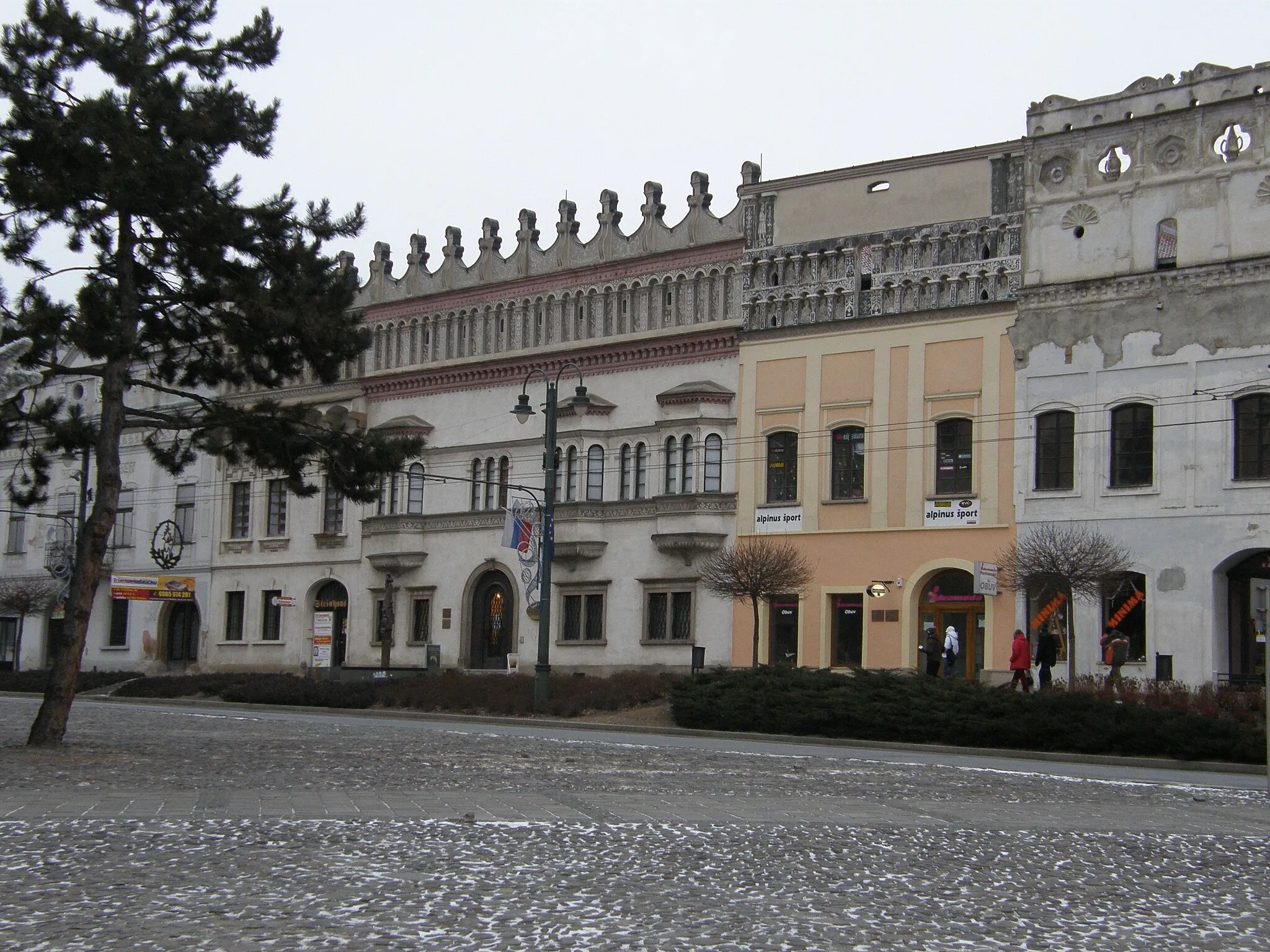
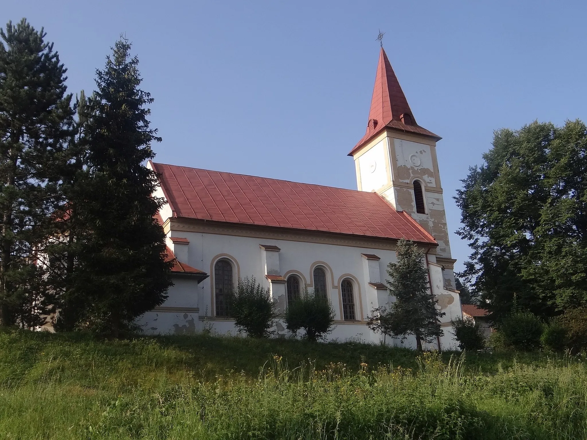
Start: Gelnica City centerGelnica: Scenic rides and cultural exploration await cyclists in Gelnica.
Gelnica, located in Východné Slovensko, Slovakia, offers moderate cycling opportunities. The local roads provide a mix of flat sections and some hilly terrain, suitable for both casual riders and more experienced cyclists. While Gelnica is not known for any famous cycling spots or well-known climbs nearby, the picturesque landscapes and peaceful atmosphere make it an enjoyable place for cycling excursions. Nearby attractions include the historic town center with various cultural sites and the nearby Slovak Paradise National Park, which offers additional outdoor activities for visitors.9 km
9 km
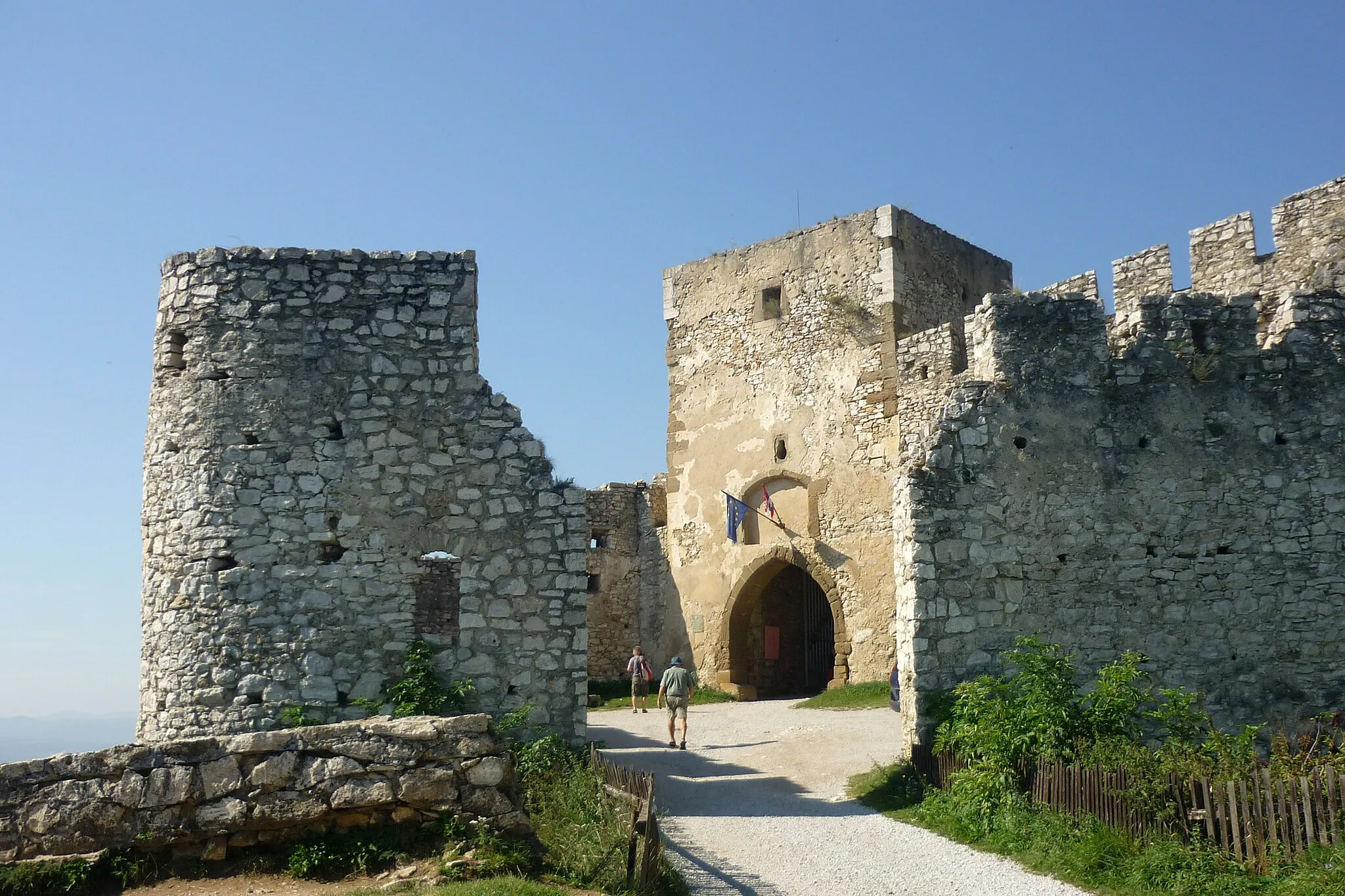
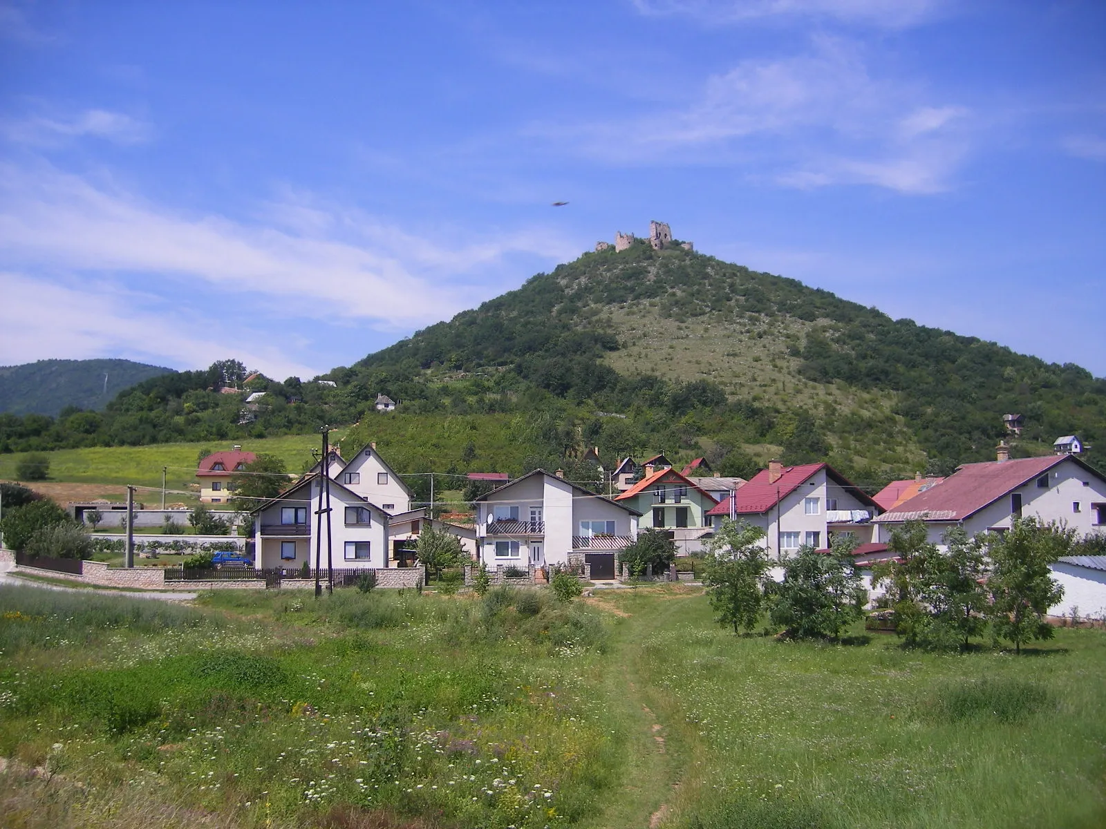
KojšovVillageLocated at 9 km along the route, Kojšov is known for its impressive medieval castle ruins and offers panoramic views of the surrounding countryside.
20 km
20 km
Holý vrch1054 mPeakAt the 20 km mark, Holý vrch awaits, showcasing a unique rock formation ideal for photography enthusiasts.
30 km
30 km
NováčanyVillageNováčany, located at the 30 km mark, is a quaint village famous for its traditional wooden architecture.
49 km
49 km
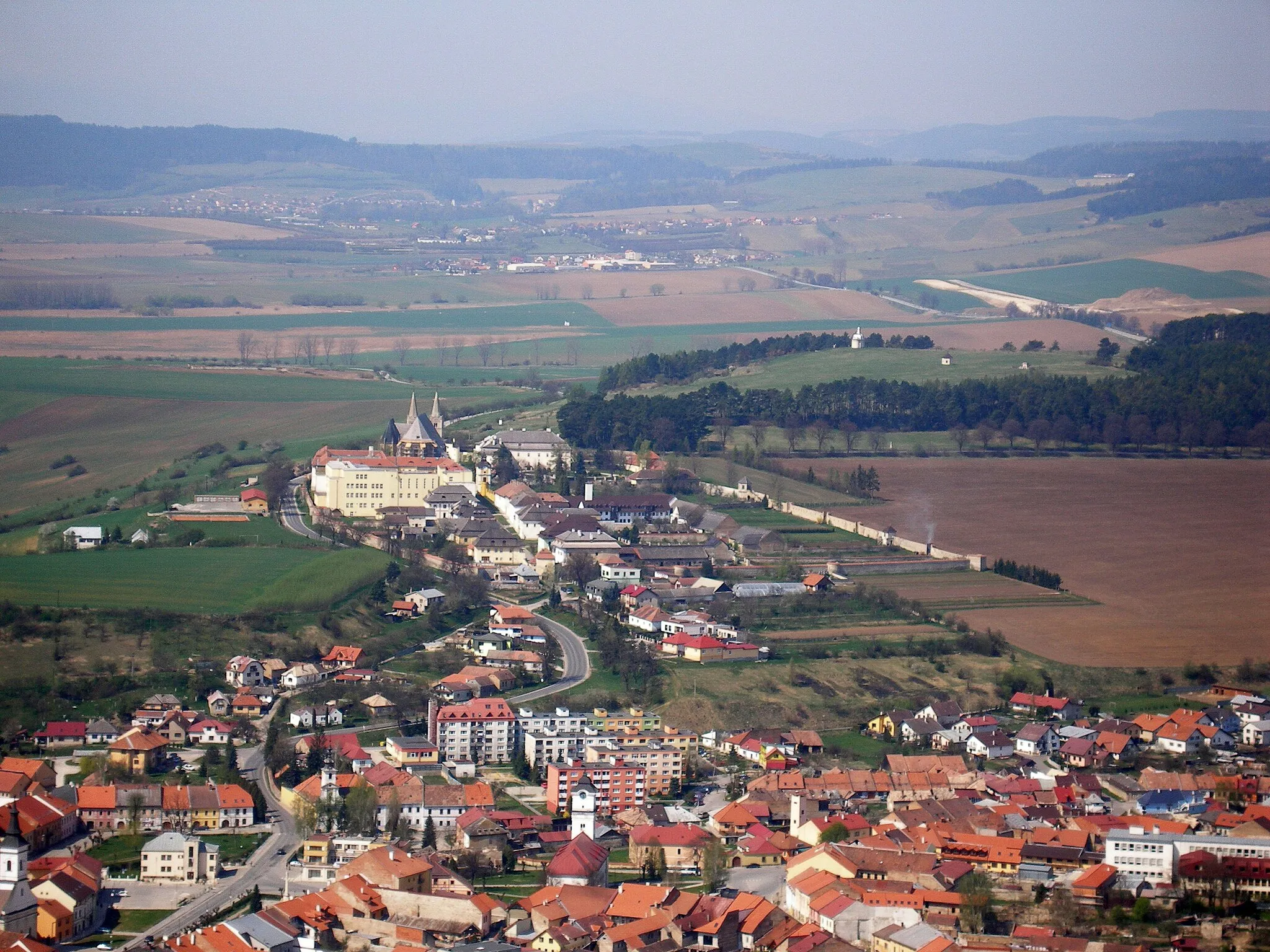
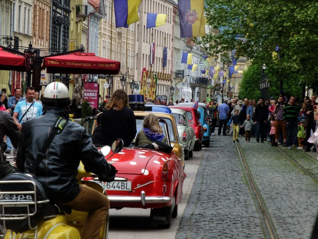
Moldava nad BodvouTownDon't miss the town of Moldava nad Bodvou, situated at 49 km. It is home to a majestic castle dating back to the 13th century.
55 km
55 km
Palanta366 mPeakPalanta, found at 55 km, charms visitors with its historical wooden churches and serene atmosphere.
70 km
70 km
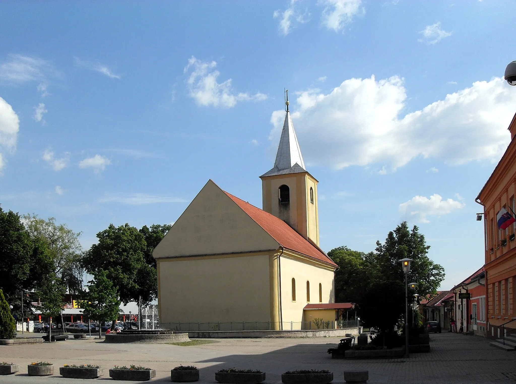
Vyšný MedzevVillageAs you reach 70 km, Vyšný Medzev welcomes you with its fascinating mining history and underground tunnels.
78 km
78 km
Tri studne969 mPeakAfter covering 78 km, make a stop at Tri studne and marvel at the three famous natural rock formations.
90 km
90 km
Cenderling789 mPeakCenderling, your final highlight at 90 km, offers a tranquil setting surrounded by beautiful meadows and forests.
93 km
93 km
Finish: Gelnica City centerGelnica: Scenic rides and cultural exploration await cyclists in Gelnica.
Cycling routes from Gelnica:
Cycling routes nearby: