The Gravel Expedition
A gravel cycling route starting from Gelnica
A thrilling gravel expedition with breathtaking highlights
Map
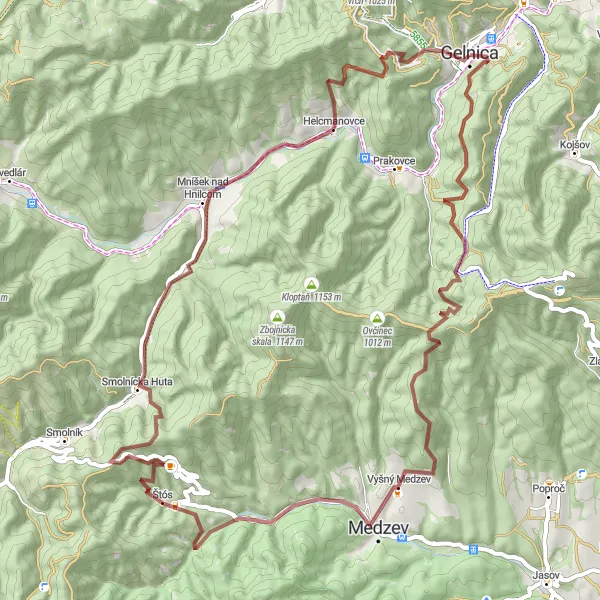
Embark on a challenging 68 km gravel expedition through spectacular landscapes and hidden gems. With an ascent of 1981m, this route is suitable for experienced cyclists seeking an adrenaline-pumping adventure. From charming villages to awe-inspiring natural wonders, discover the hidden treasures of Východné Slovensko on this epic journey.
gravel
68 km
1981 m
Savage
Route profile
Highlights on the route
0 km
0 km
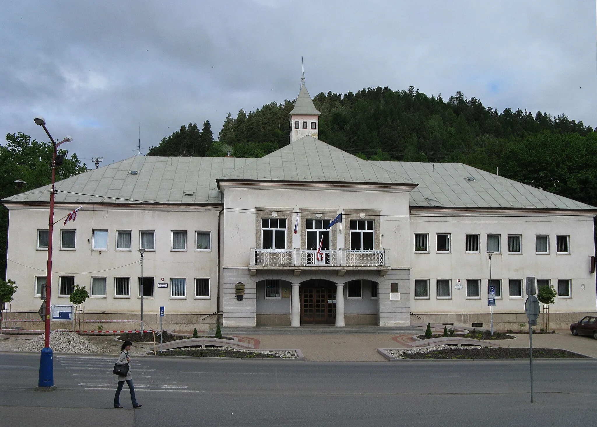
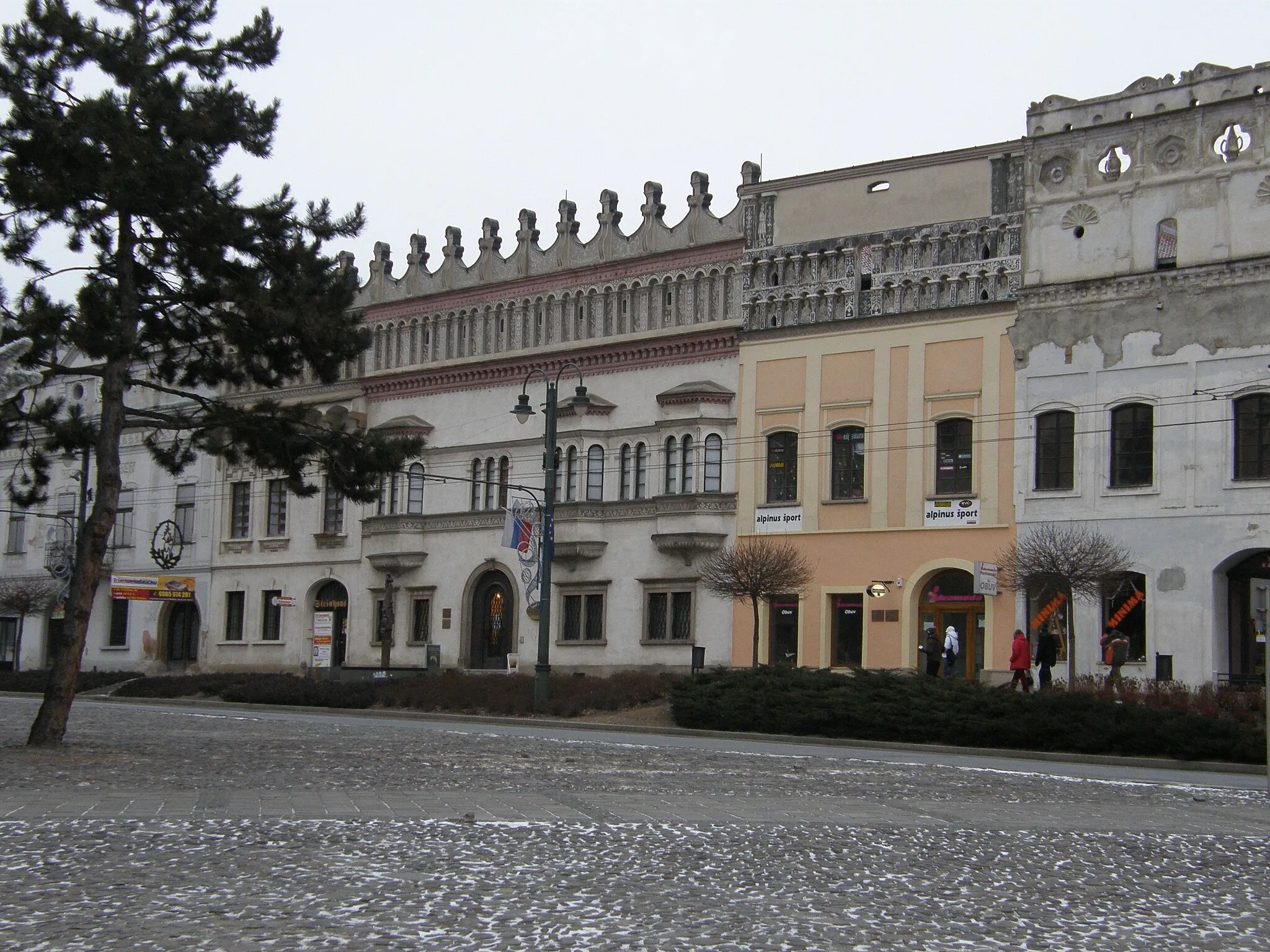
Start: Gelnica City centerGelnica: Scenic rides and cultural exploration await cyclists in Gelnica.
Gelnica, located in Východné Slovensko, Slovakia, offers moderate cycling opportunities. The local roads provide a mix of flat sections and some hilly terrain, suitable for both casual riders and more experienced cyclists. While Gelnica is not known for any famous cycling spots or well-known climbs nearby, the picturesque landscapes and peaceful atmosphere make it an enjoyable place for cycling excursions. Nearby attractions include the historic town center with various cultural sites and the nearby Slovak Paradise National Park, which offers additional outdoor activities for visitors.2 km
2 km
Cenderling789 mPeakCenderling, your first highlight at 2 km, is a peaceful retreat enveloped by dense forests and picturesque meadows.
15 km
15 km
Tri studne969 mPeakAfter covering 15 km, Tri studne awaits, a mesmerizing trio of natural rock formations that provide a unique spectacle.
25 km
25 km
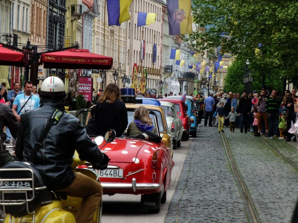
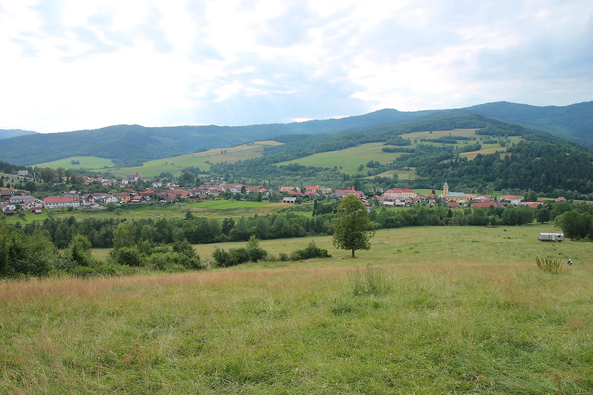
MedzevTownAt the 25 km mark, Medzev entices cyclists with its charming streets filled with traditional Slovakian architecture.
35 km
35 km
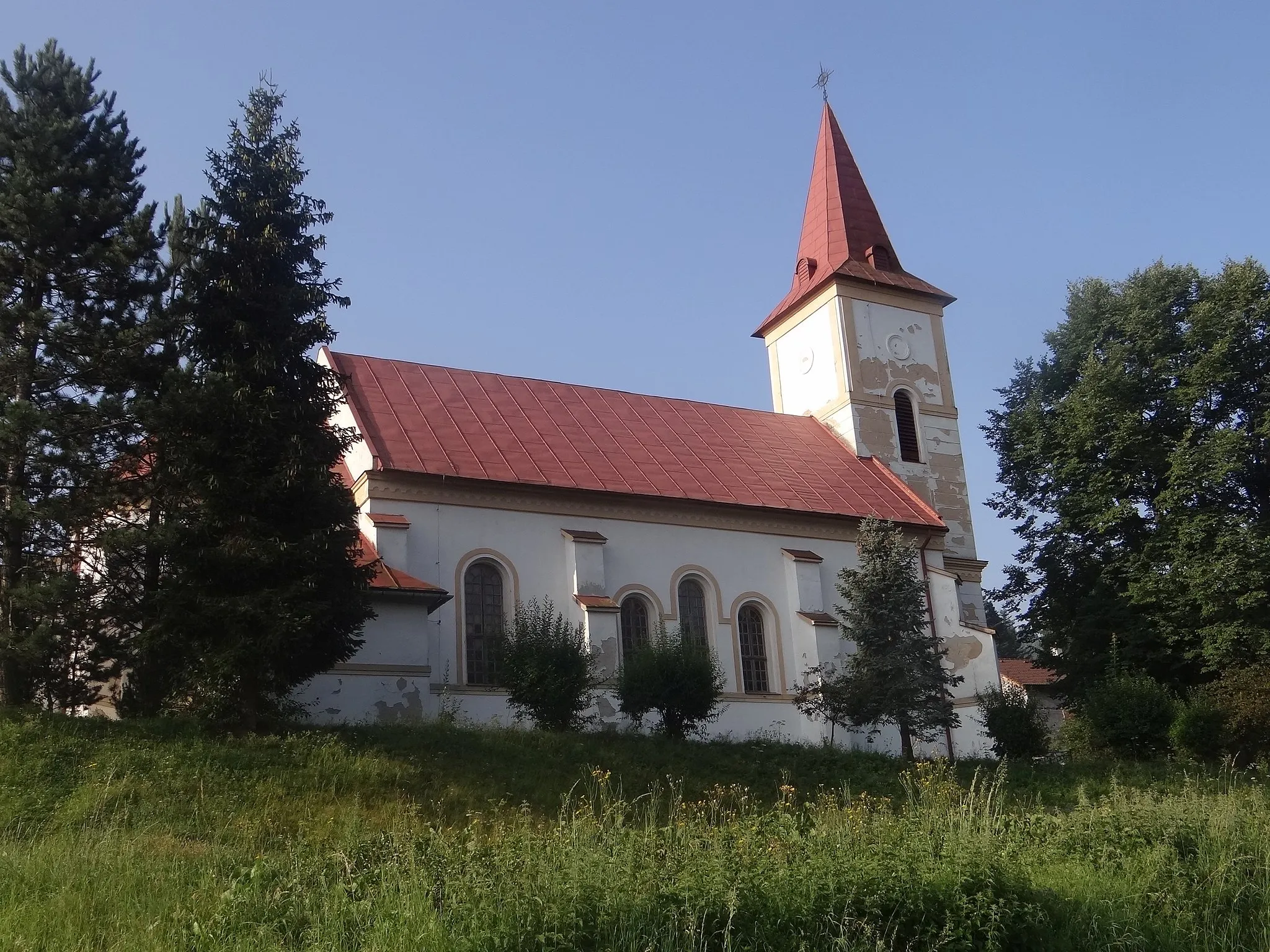
ŠtósVillagePrepare to be amazed by the stunning Štós natural monument at 35 km, an enchanting rocky peak nestled amidst pristine nature.
41 km
41 km
Štóske sedlo798 mMountain PassŠtóske sedlo offers a panoramic view of the surrounding mountains and valleys from its 41 km vantage point.
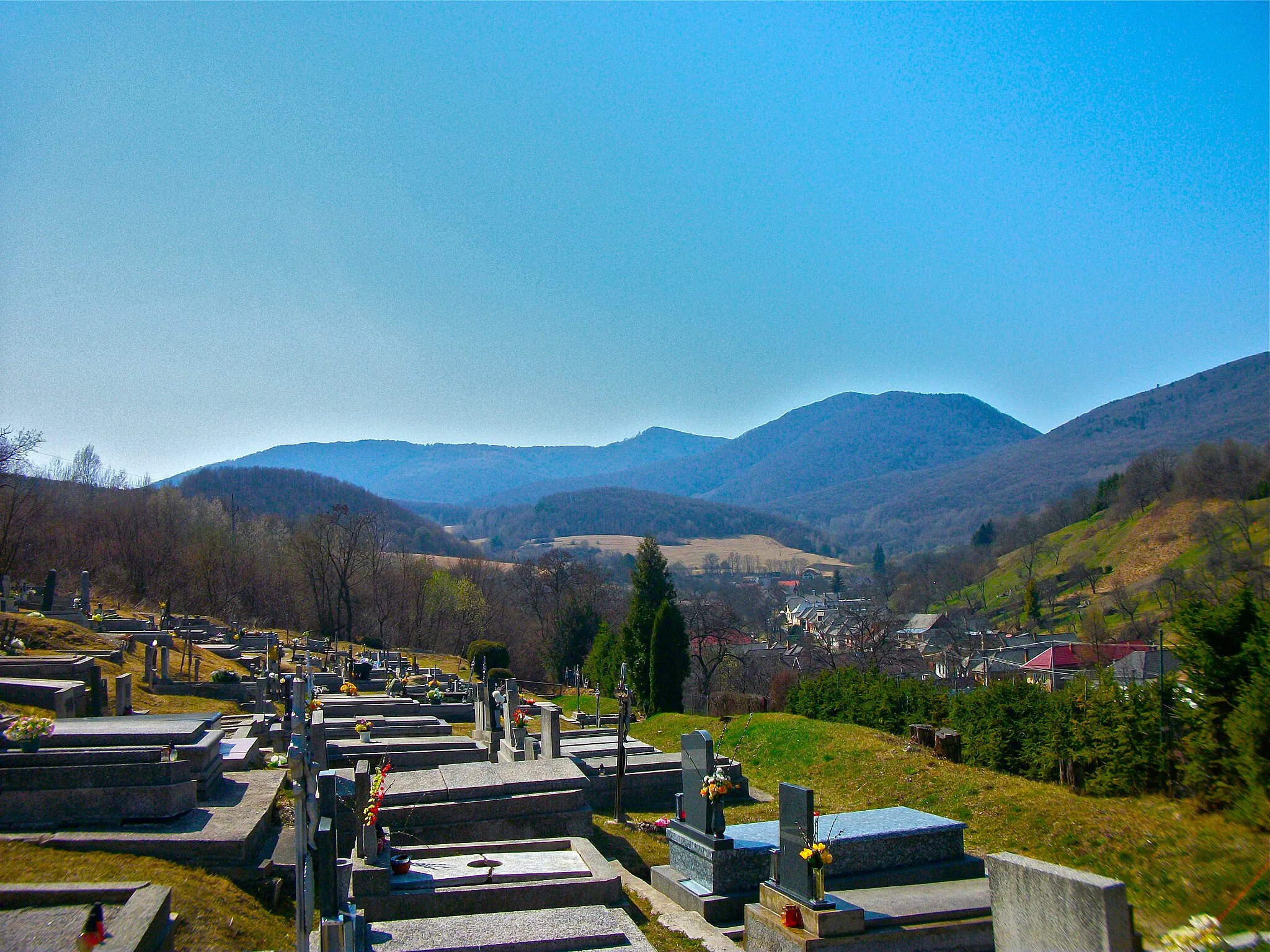
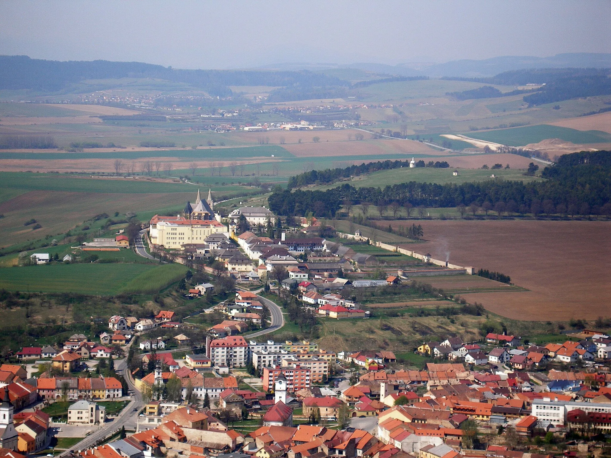
53 km
53 km
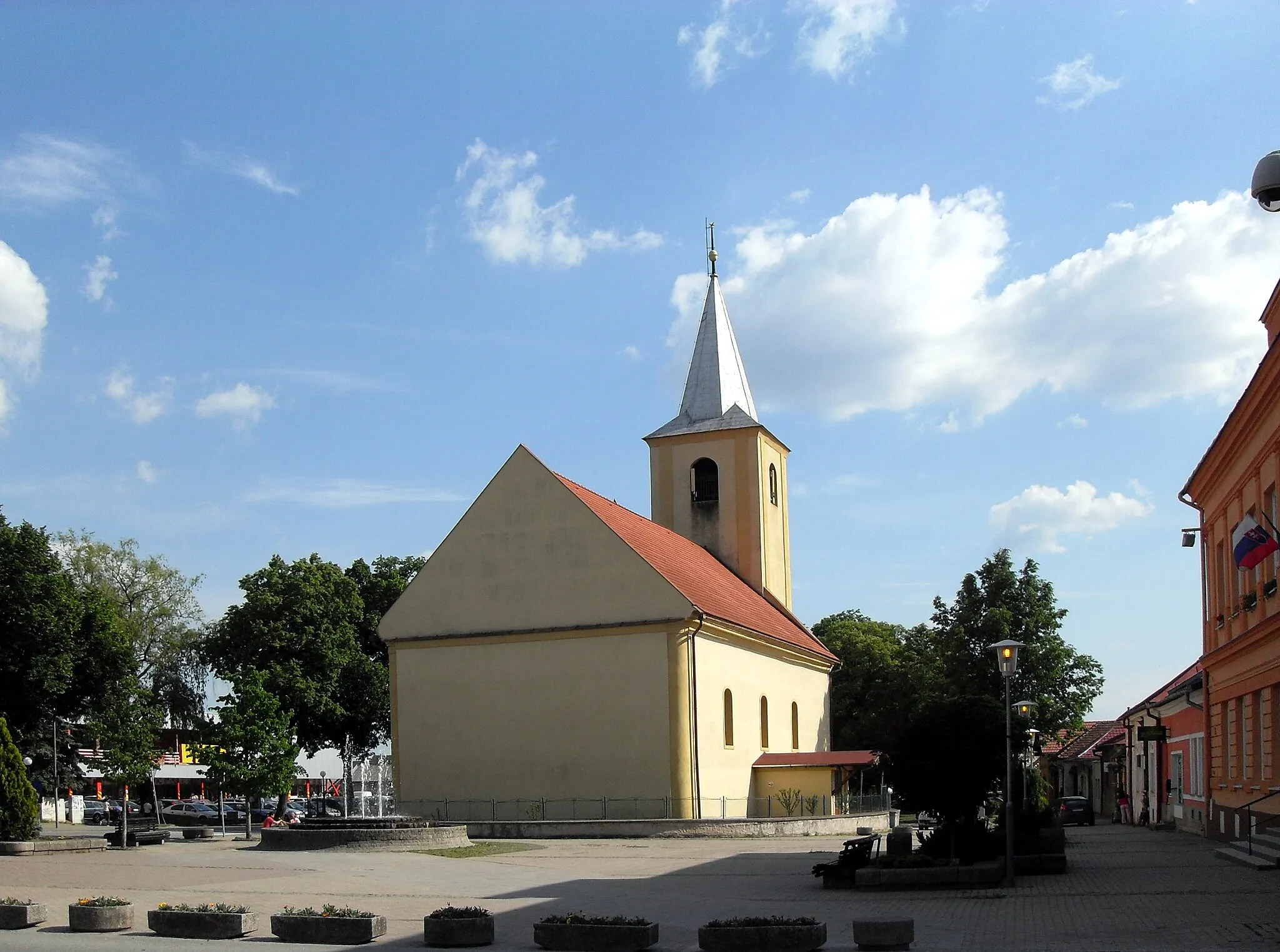
Mníšek nad HnilcomVillageMníšek nad Hnilcom, found at 53 km, is home to a historic monastery dating back to the tenth century.
63 km
63 km
Vangort817 mPeakVangort awaits at 63 km, a peaceful village known for its well-preserved traditional wooden houses.
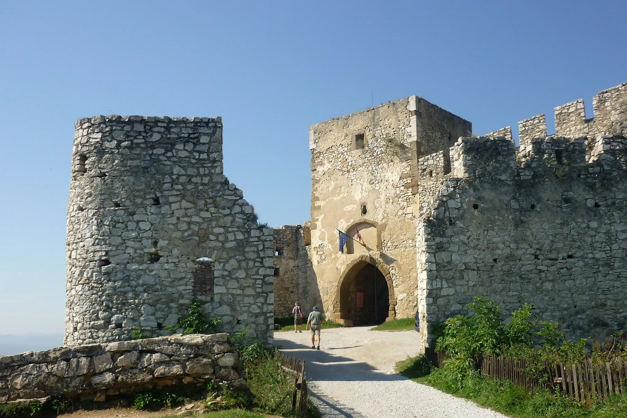
68 km
68 km
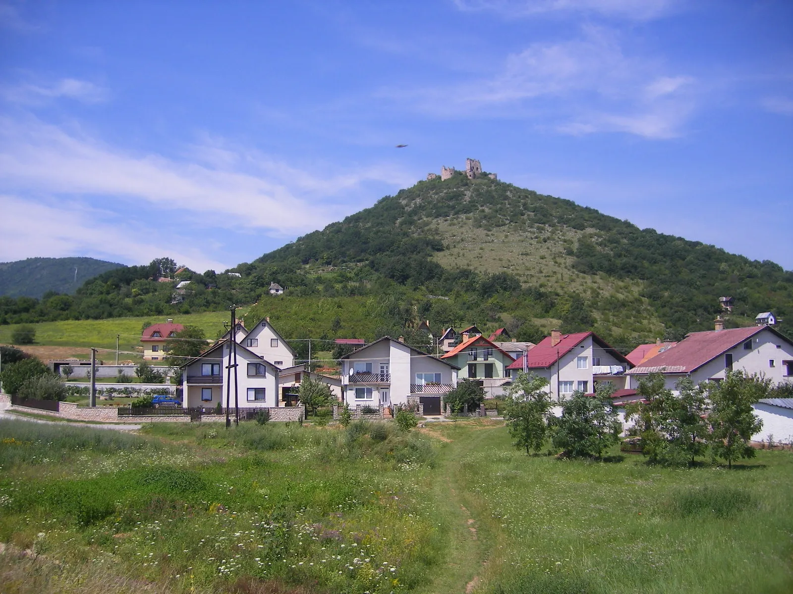
GelnicaCastleGelnica, your final highlight at 68 km, is a historical treasure trove with fascinating architecture and captivating history.
68 km
68 km
Finish: Gelnica City centerGelnica: Scenic rides and cultural exploration await cyclists in Gelnica.
Cycling routes from Gelnica:
Cycling routes nearby: