Gelnica Adventure
A road cycling route starting from Gelnica
Embark on an exciting cycling journey through the scenic landscapes near Gelnica.
Map

Experience the thrill of cycling through picturesque routes near Gelnica, Slovakia. With a distance of 151 km and an ascent of 2871m, this adventure is packed with breathtaking views and thrilling challenges. Test your cycling skills as you traverse the road or tackle the gravel paths, depending on your bike preference. Explore diverse highlights along the route, ranging from captivating gateways to tranquil lakes and historic sites. Discover hidden gems such as Brána, Buglovce, Jazerec, Krúžok, Torysky, Tok, Čistý diel, Tichý Potok, and many more. Immerse yourself in the natural beauty and rich cultural heritage of Východné Slovensko as you pedal your way through this distinctively captivating route.
road
151 km
2871 m
Tough
Route profile
Highlights on the route
0 km
0 km
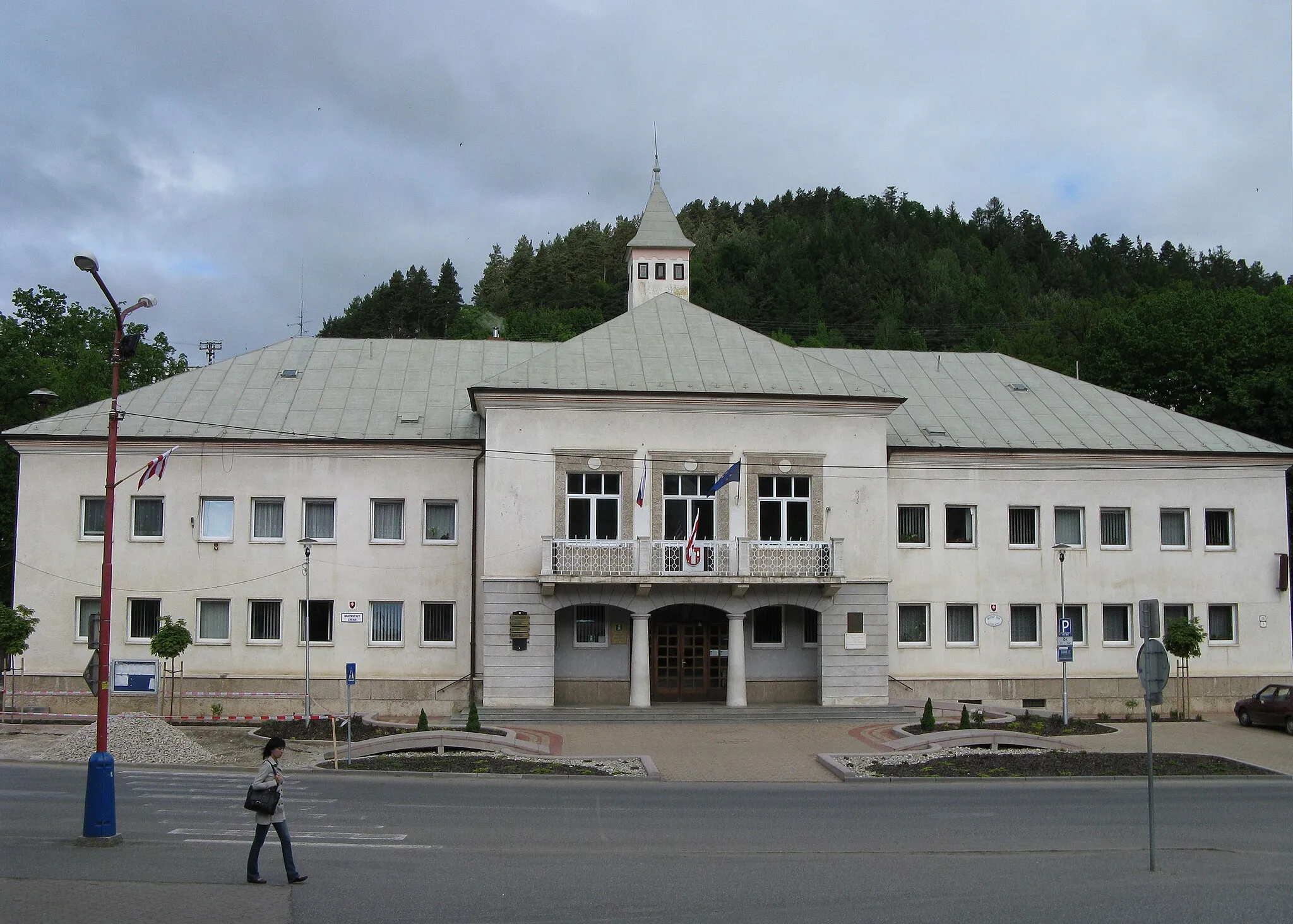
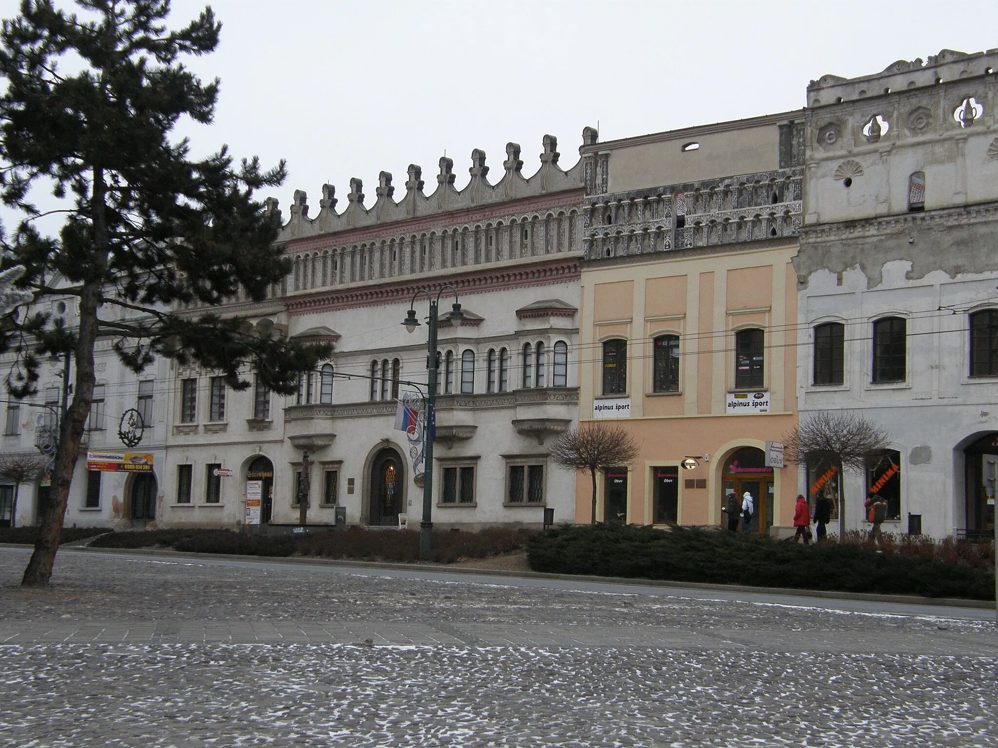
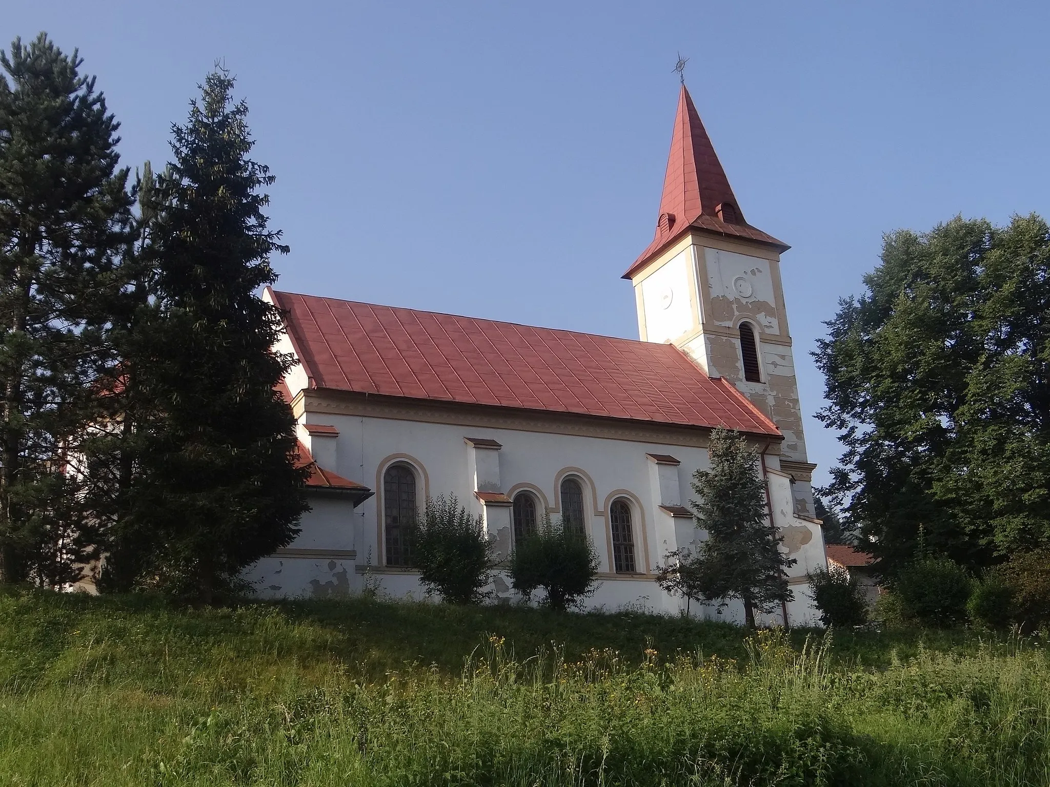
Start: Gelnica City centerGelnica: Scenic rides and cultural exploration await cyclists in Gelnica.
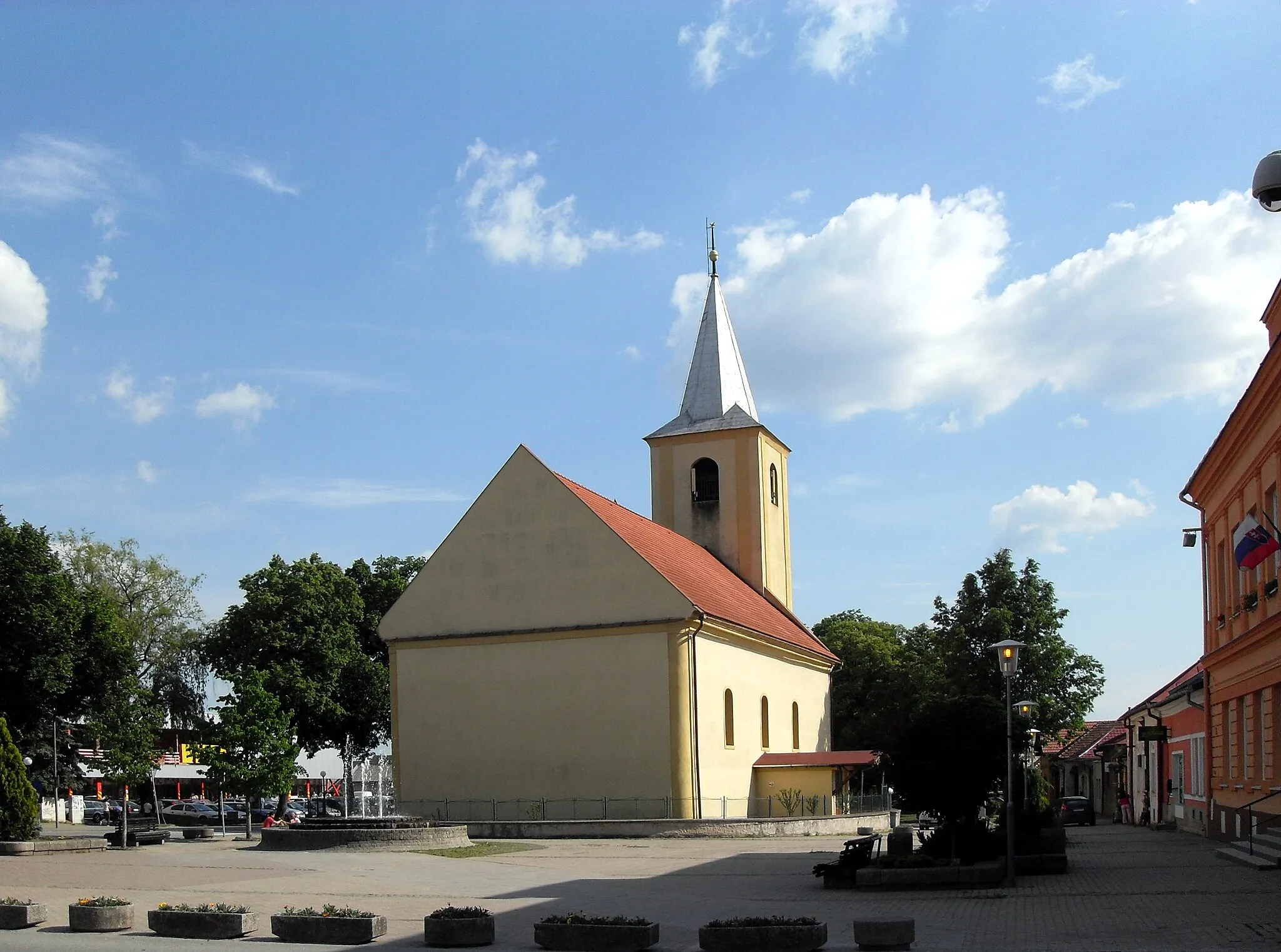
Gelnica, located in Východné Slovensko, Slovakia, offers moderate cycling opportunities. The local roads provide a mix of flat sections and some hilly terrain, suitable for both casual riders and more experienced cyclists. While Gelnica is not known for any famous cycling spots or well-known climbs nearby, the picturesque landscapes and peaceful atmosphere make it an enjoyable place for cycling excursions. Nearby attractions include the historic town center with various cultural sites and the nearby Slovak Paradise National Park, which offers additional outdoor activities for visitors.17 km
17 km
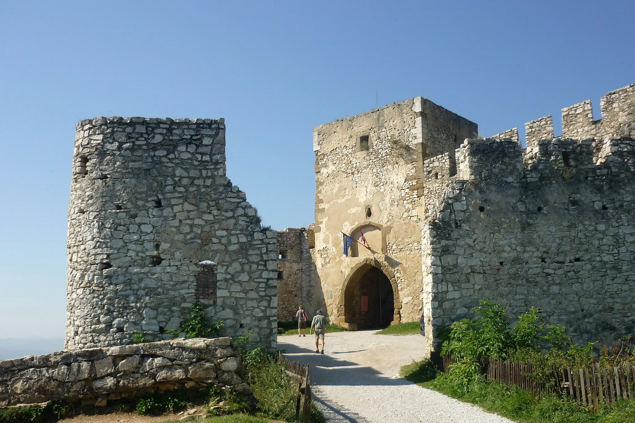
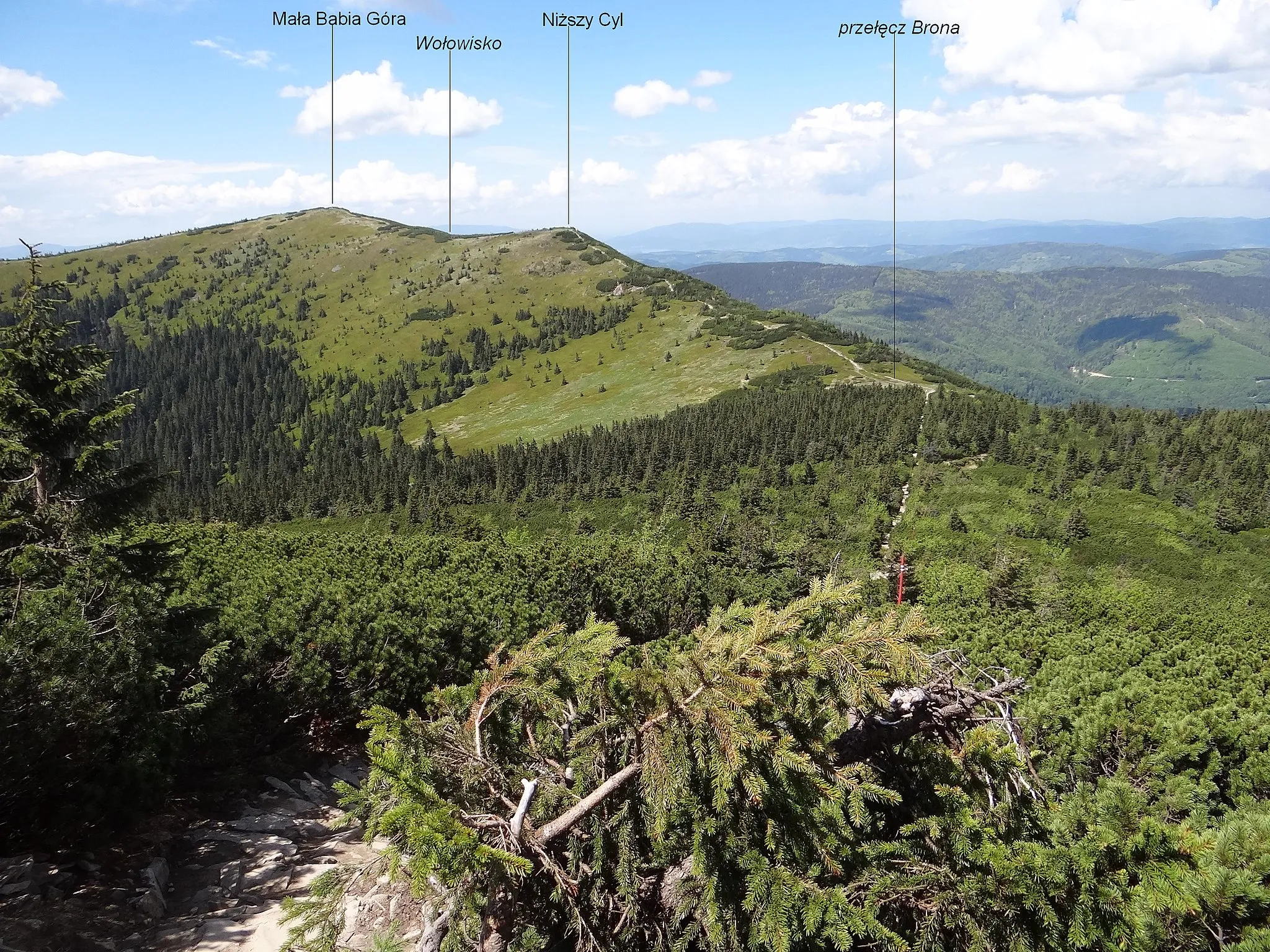
Brána552 mPeakStop by Brána, a captivating gateway that marks the beginning of your cycling adventure.
31 km
31 km
BuglovceVillageTake a break at Buglovce and enjoy the scenic views of the surrounding landscape.
37 km
37 km
Jazerec653 mPeakJazerec is a serene lake where you can relax and unwind amidst the natural beauty.
46 km
46 km
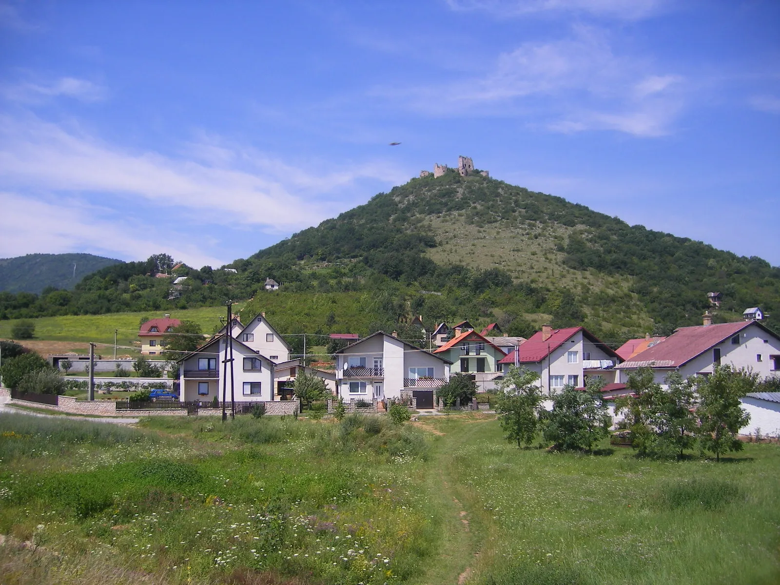
Krúžok976 mPeakVisit Krúžok, a historic site that offers insights into the region's rich cultural heritage.
53 km
53 km
ToryskyVillageTorysky offers stunning panoramic views and is a must-see spot along the route.
64 km
64 km
Tok1227 mPeakDiscover Tok, a charming village known for its traditional architecture and warm hospitality.
72 km
72 km
Čistý diel1134 mPeakČistý diel is a hidden gem with pristine natural surroundings and mesmerizing landscapes.
84 km
84 km
Tichý PotokVillagePause at Tichý Potok, a tranquil stream that adds to the peaceful ambiance.
92 km
92 km
BrezovičkaVillageExplore Brezovička, a quaint village renowned for its traditional folklore and customs.
101 km
101 km
Michalička784 mPeakVisit Michalička and learn about the region's rich history and cultural significance.
115 km
115 km
KorytnéVillageKorytné is a charming village with idyllic scenery and traditional architecture.
121 km
121 km
Zvolanská1065 mPeakZvolanská is a picturesque spot perfect for capturing stunning photographs.
129 km
129 km
VíťazVillageMake a stop at Víťaz and discover its fascinating history and local traditions.
136 km
136 km
Petrova hora615 mPeakPetrova hora offers panoramic views of the surrounding valleys and mountains.
143 km
143 km
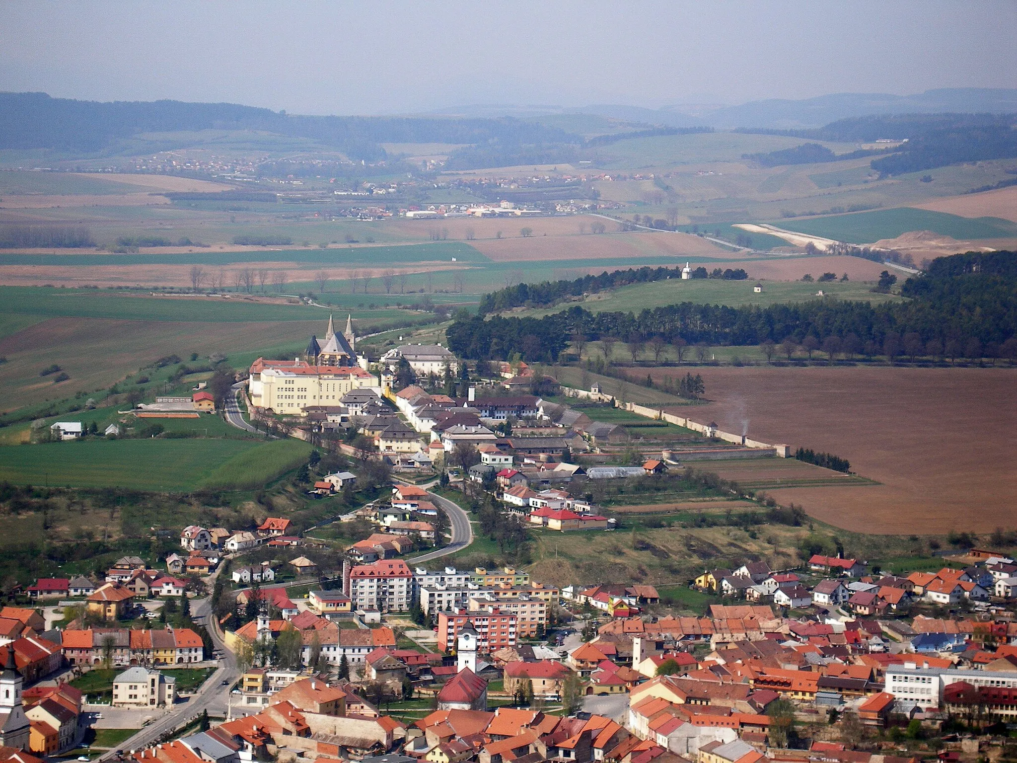
MargecanyVillageMargecany is a small town with a rich cultural heritage and historical sites.
151 km
151 km
Finish: Gelnica City centerGelnica: Scenic rides and cultural exploration await cyclists in Gelnica.
Cycling routes from Gelnica:
Cycling routes nearby: