Gemersky kras loop
A road cycling route starting from Roznava
A scenic road route through the beautiful landscapes of Gemer region
Map
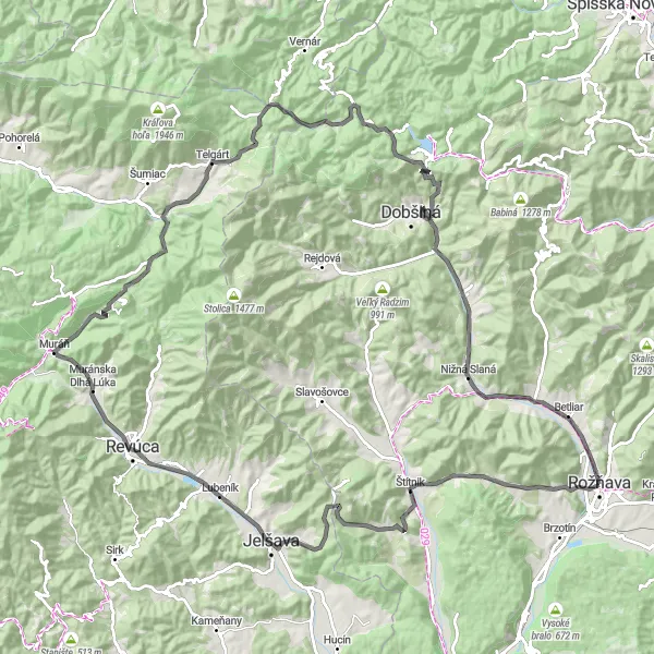
Gemersky kras loop is a picturesque road cycling route that takes you through the stunning landscapes of the Gemer region in Eastern Slovakia. With a total distance of 122 km and an ascent of 1939 meters, this route offers a challenging yet rewarding cycling experience. Starting in Rožňava, you will pass through several highlights along the way, including Gerlašská skala, Gočaltovo, and Revúca. The route also takes you to Pusté Pole, a small village known for its tranquil atmosphere and charming countryside. Overall, Gemersky kras loop is a must-try for cycling enthusiasts looking to explore the natural beauty of Východné Slovensko.
road
122 km
1939 m
Tough
Route profile
Highlights on the route
0 km
0 km
Start: Rožňava City centerRožňava: Journey through Picturesque Landscapes in Rožňava
Rožňava, located in Východné Slovensko region of Slovakia, is surrounded by beautiful natural landscapes and offers scenic cycling routes. The area features many picturesque villages and rolling hills, making it suitable for both road and gravel cyclists. Cyclists can explore the nearby Slovak Paradise National Park, which offers challenging climbs and unique outdoor experiences. Rožňava itself has attractions like the UNESCO-listed Betliar Castle and the Gothic-style St. Elizabeth Cathedral. Overall, Rožňava provides a charming locality for cyclists to enjoy the beauty of eastern Slovakia.0 km
0 km
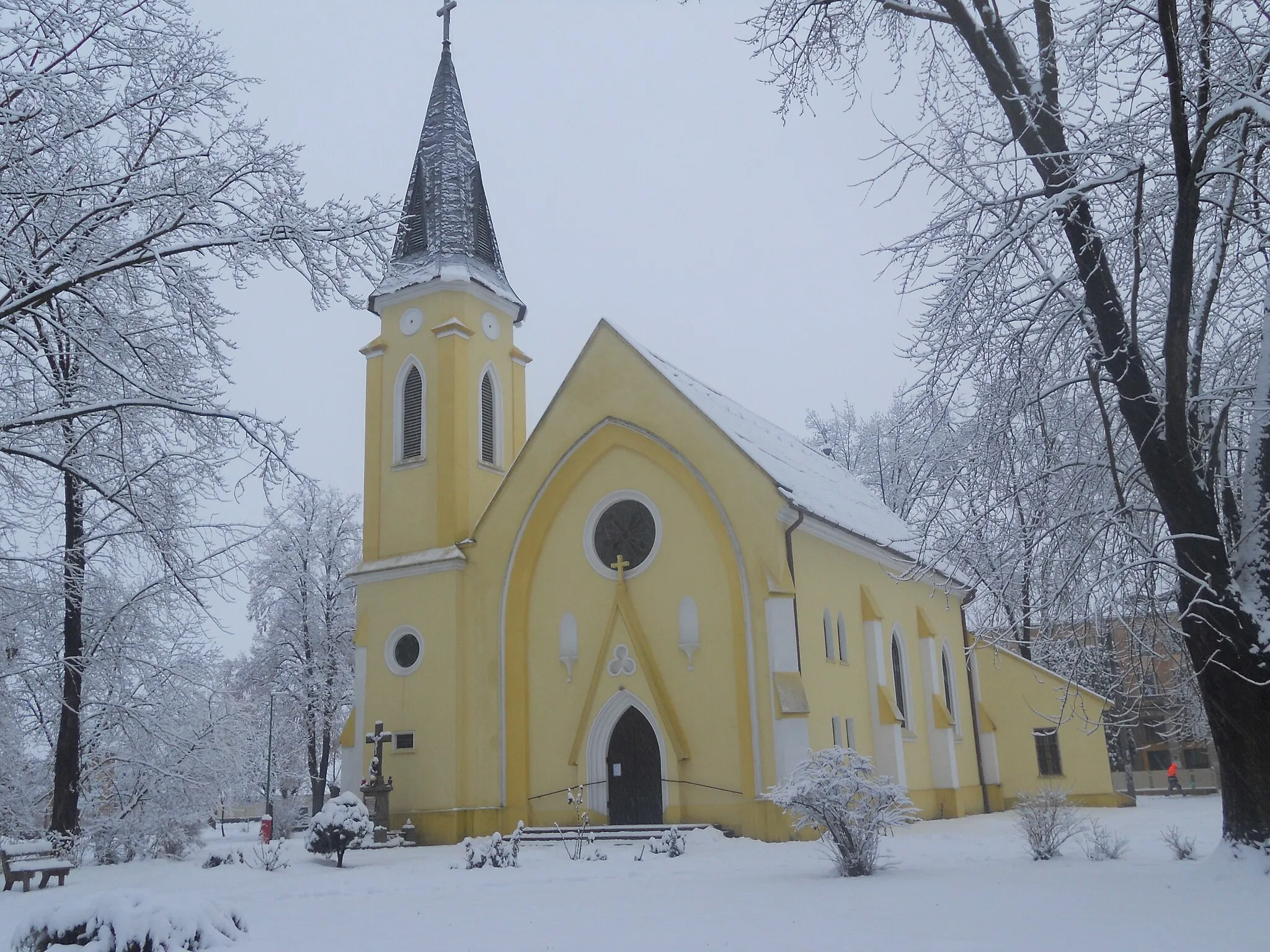
RožňavaTownRožňava, the starting point of the route, is a historic town with a well-preserved medieval center.
8 km
8 km
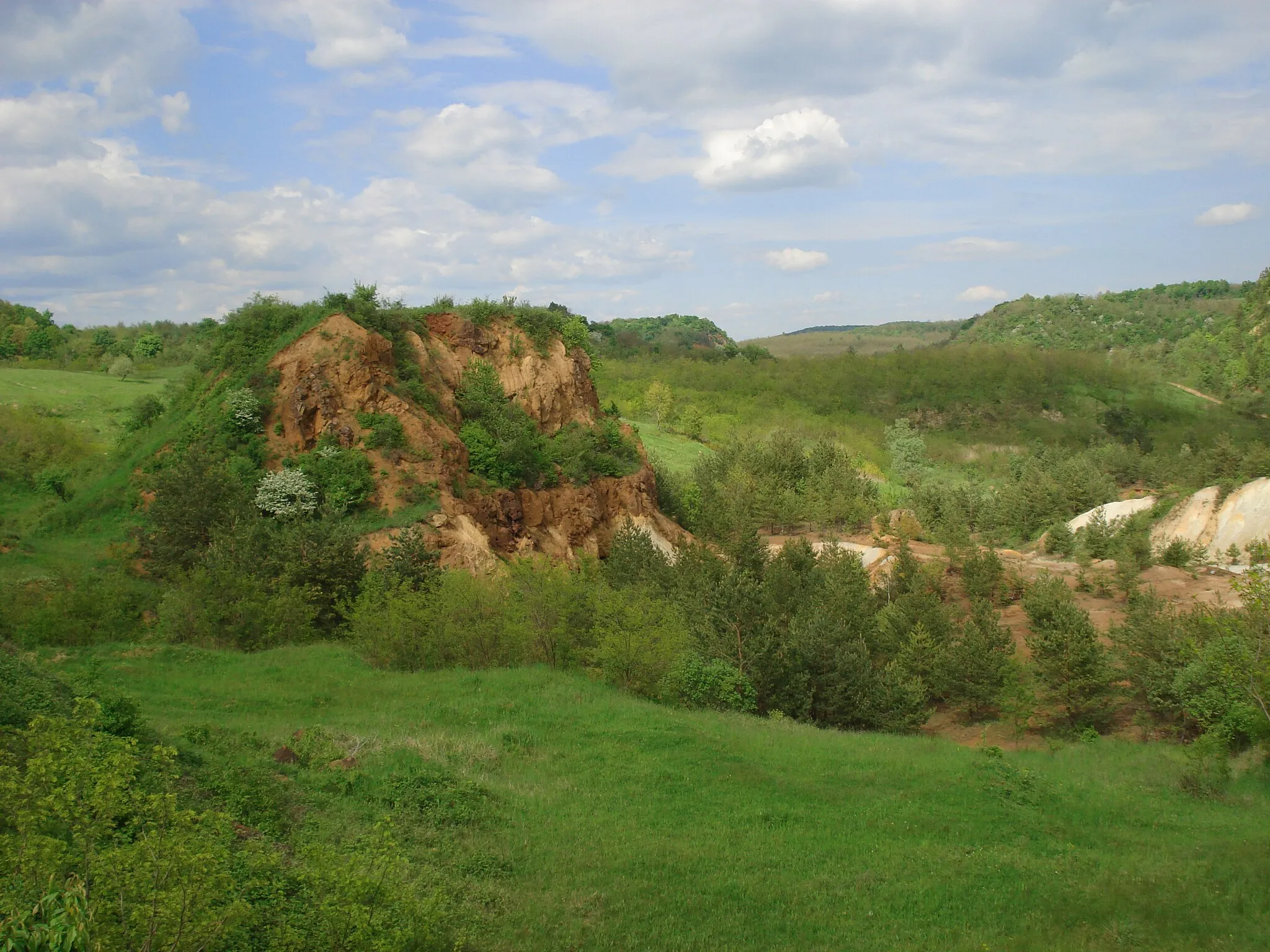
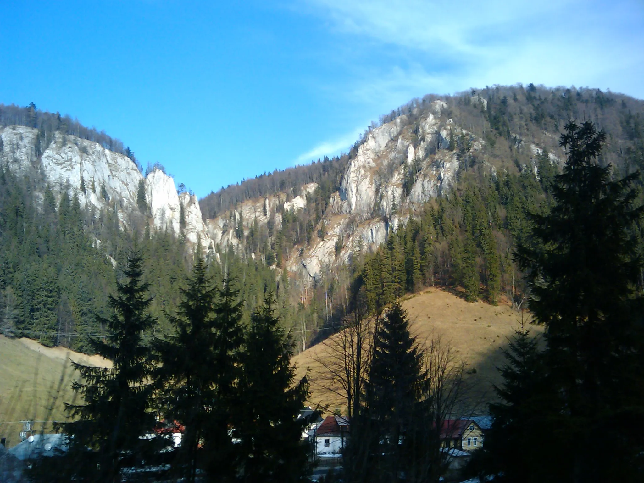
Gerlašská skala752 mPeakGerlašská skala offers breathtaking panoramic views of the surrounding countryside.
17 km
17 km
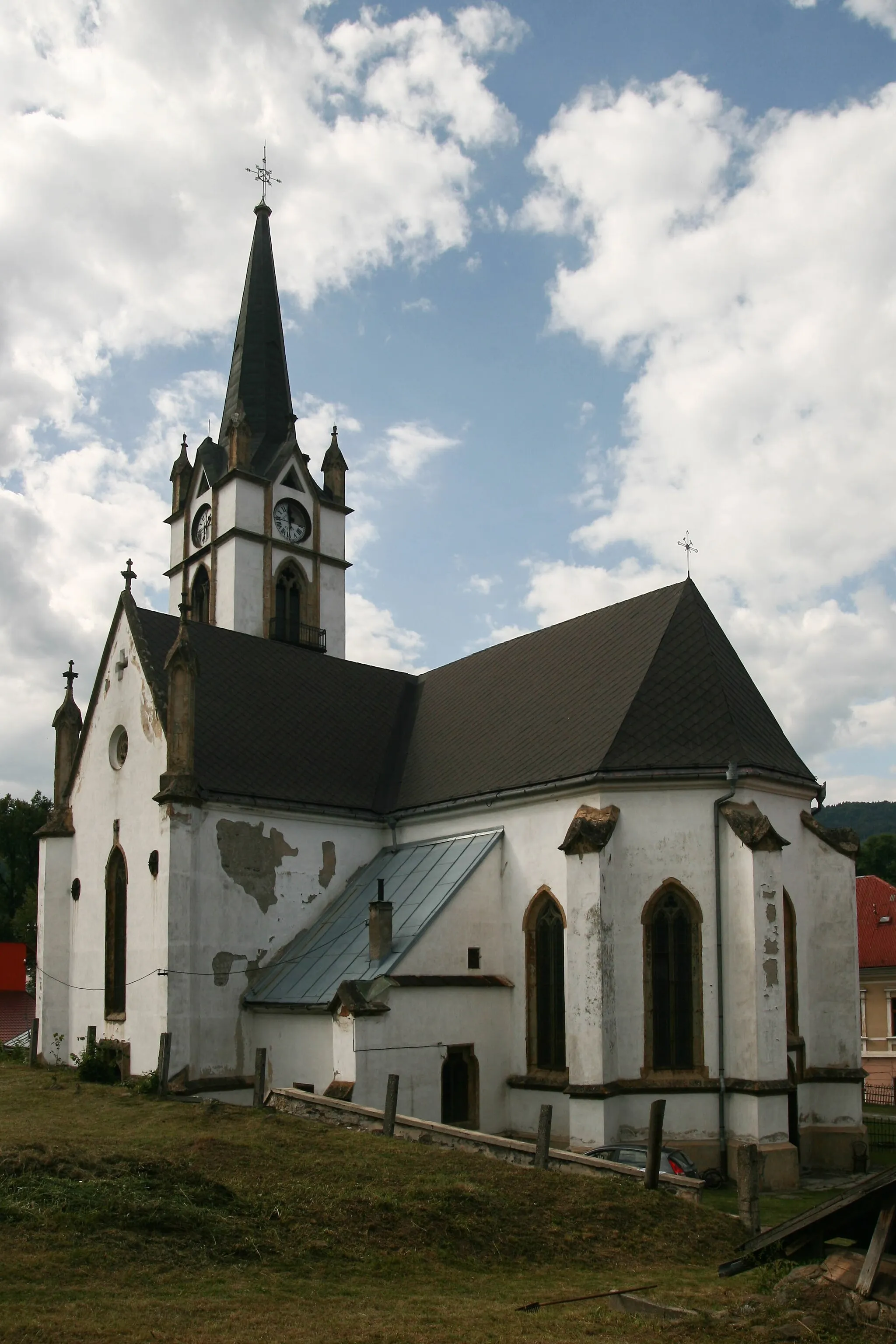
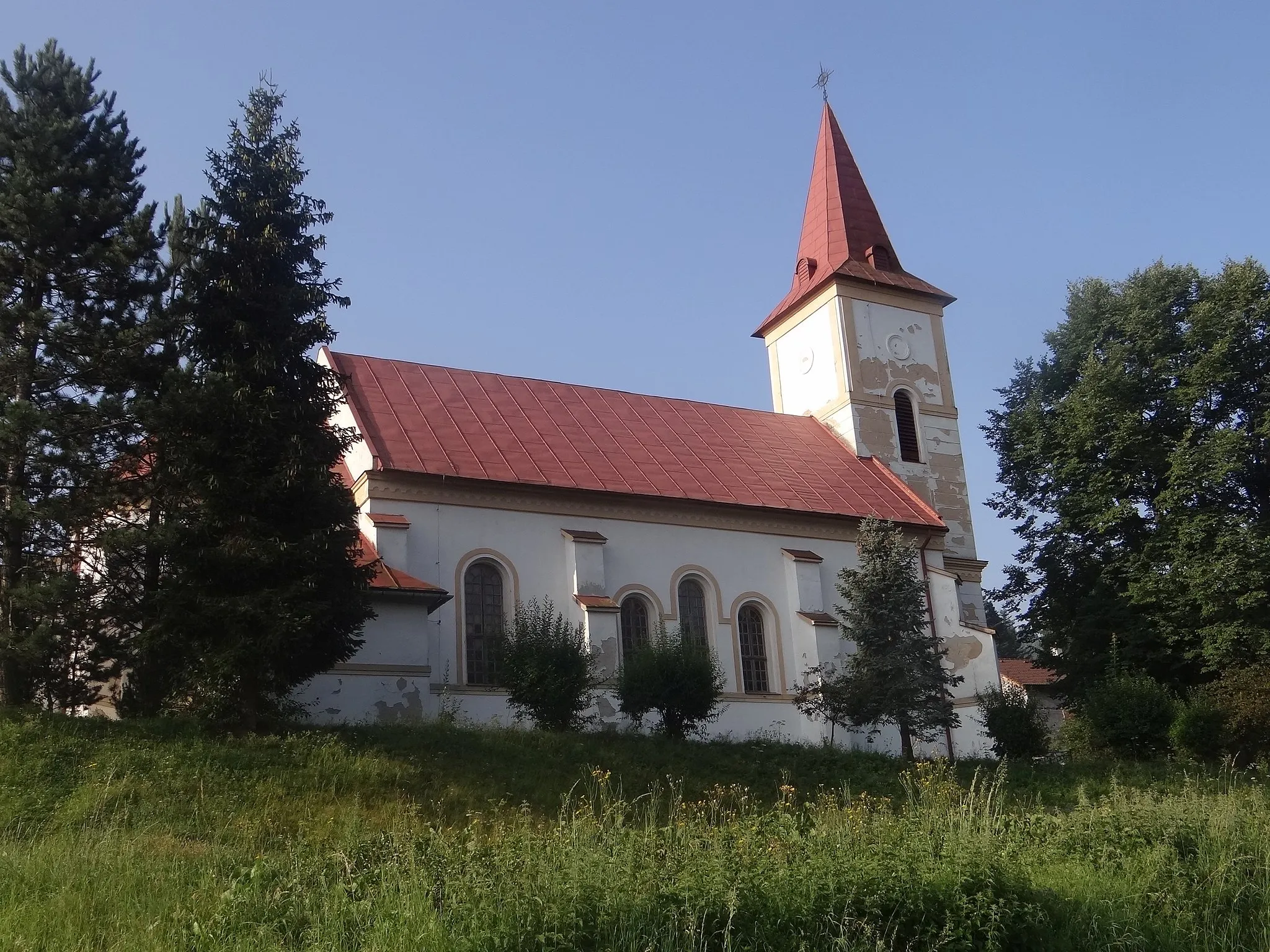
GočaltovoVillageGočaltovo is a small village known for its traditional wooden houses and folk traditions.
26 km
26 km
Slovenská skala621 mPeakSlovenská skala is a granite rock formation that stands proudly amidst the lush greenery.
41 km
41 km
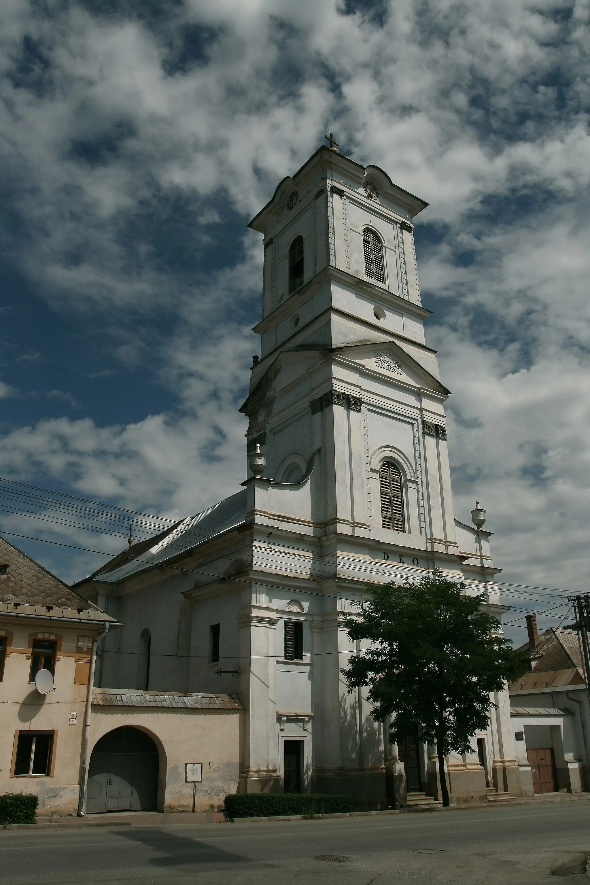
RevúcaTownRevúca is a quaint town with a rich history and beautiful architecture.
51 km
51 km
Ostrý vrch730 mPeakOstrý vrch is a hill offering panoramic views of the surrounding landscape.
60 km
60 km
Ploštiny1030 mPeakPloštiny is a small village with traditional wooden houses and rich cultural heritage.
75 km
75 km
Pusté PoleHamletPusté Pole is a charming village known for its peaceful ambiance and beautiful countryside.
84 km
84 km
Duča1141 mPeakDuča is a small village with a picturesque setting and winding roads.
86 km
86 km
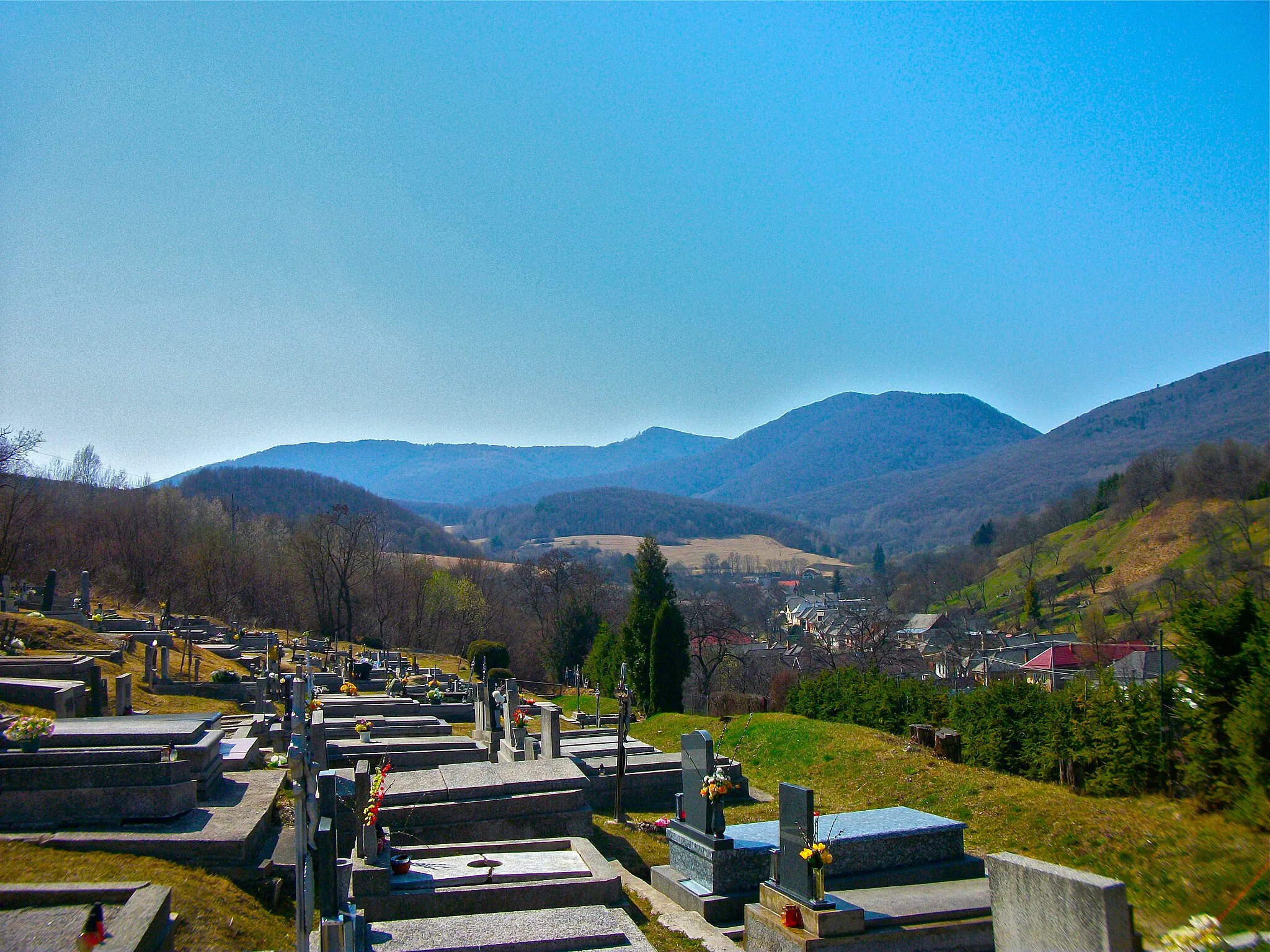
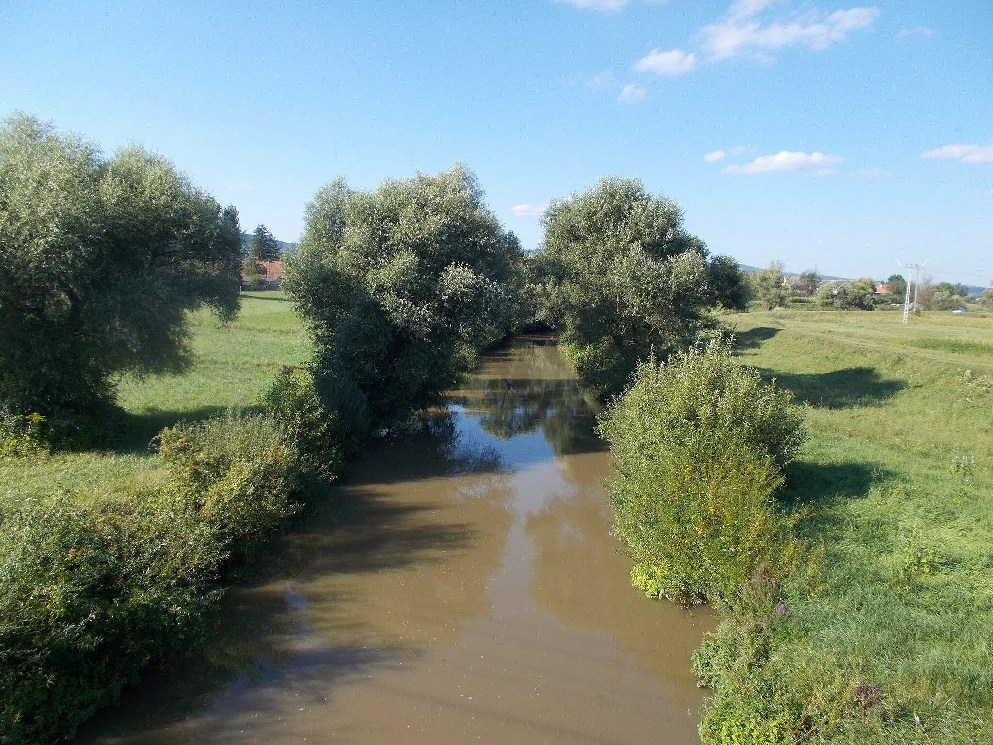
StratenáVillageStratená is a tranquil village located in a peaceful valley surrounded by hills.
102 km
102 km
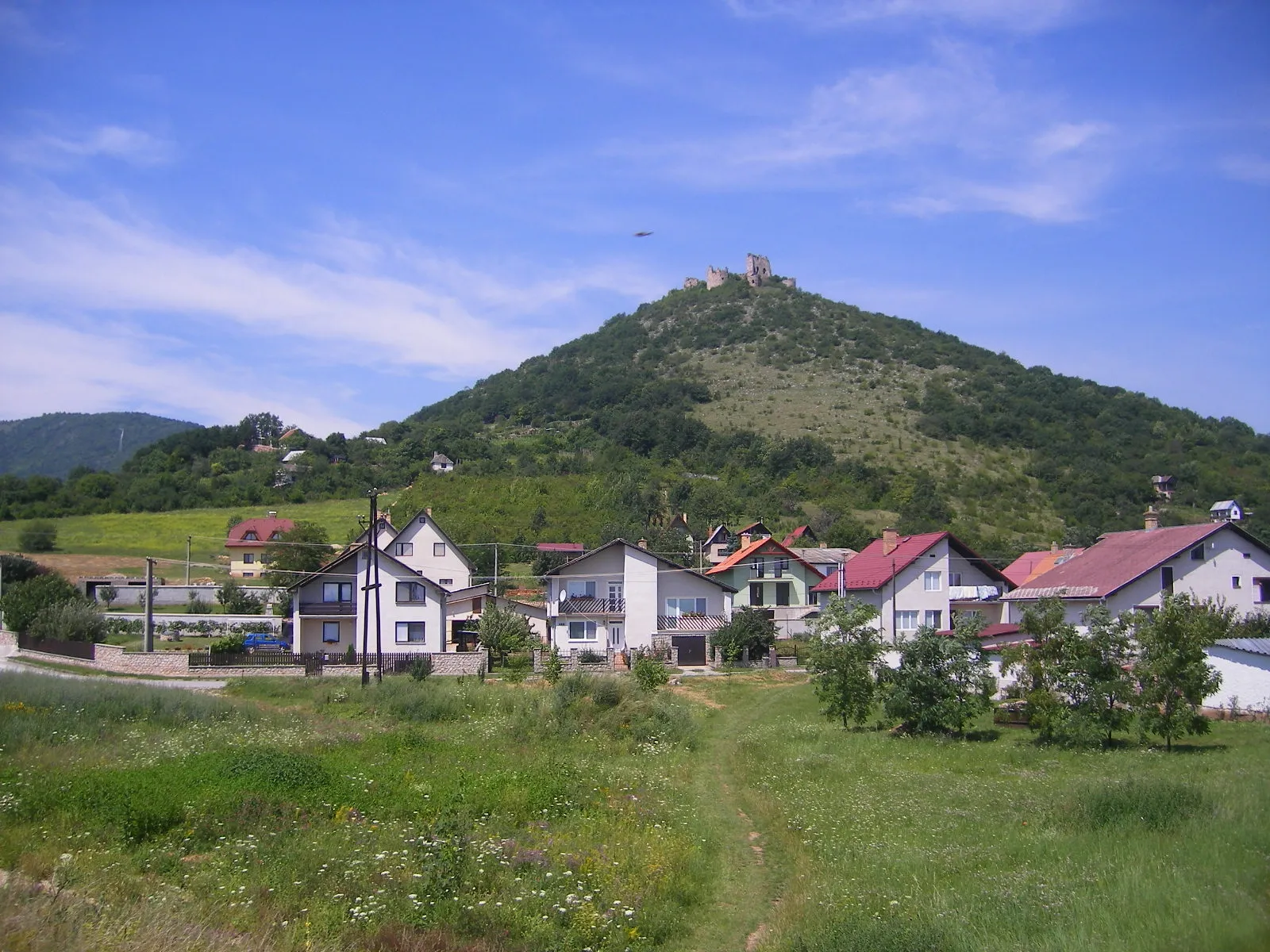
Krásna hôrka551 mPeakKrásna hôrka is a medieval castle perched on a hilltop offering commanding views over the surrounding areas.
105 km
105 km
GočovoVillageGočovo is a small village set amidst lush greenery with quaint houses and a tranquil atmosphere.
114 km
114 km
Gemerská PolomaVillageGemerská Poloma is a picturesque village known for its traditional wooden architecture and scenic beauty.
121 km
121 km
Kalvária478 mPeakKalvária is a popular pilgrimage site and a must-visit spot for its serene ambiance and religious significance.
122 km
122 km
Finish: Rožňava City centerRožňava: Journey through Picturesque Landscapes in Rožňava
Cycling routes from Roznava:
Rožňava - Gravel Adventure Rožňava - Adventures on Gravel Rožňava - Undulating Hills Challenge Rožňava - Kalvária Loop Slovak countryside gravel ride Exploring Kalvária by Bike Gemersky kras loop Lipovnik and Drnava gravel loop Gemer hillside adventure Gravel Mountain Madness Gravel V Way The Kalvária Challenge
Cycling routes nearby: