The Road Challenge
A road cycling route starting from Stara Lubovna
Take on the road challenge in Eastern Slovakia
Map
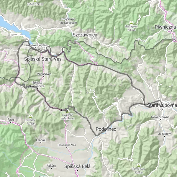
Test your endurance on this 92 km road cycling route through Eastern Slovakia. With an elevation gain of 1106 meters, this route offers climbs that will push you to your limits. Experience the rich history and culture of the region as you ride through charming towns and pass iconic landmarks. Enjoy the stunning mountain views and immerse yourself in the natural beauty of Eastern Slovakia.
road
92 km
1106 m
Tough
Route profile
Highlights on the route
0 km
0 km
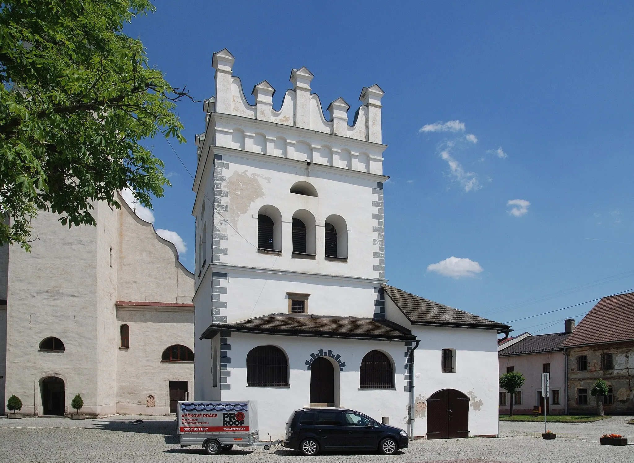
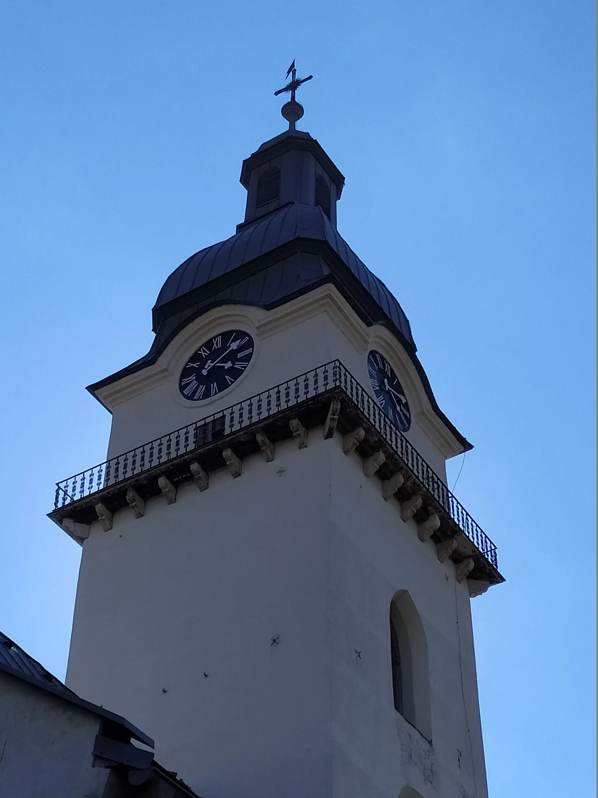
Start: Stará Ľubovňa City centerStará Ľubovňa: Cyclist's delight with remarkable views and the famous Spiš Castle nearby in Východné Slovensko region.
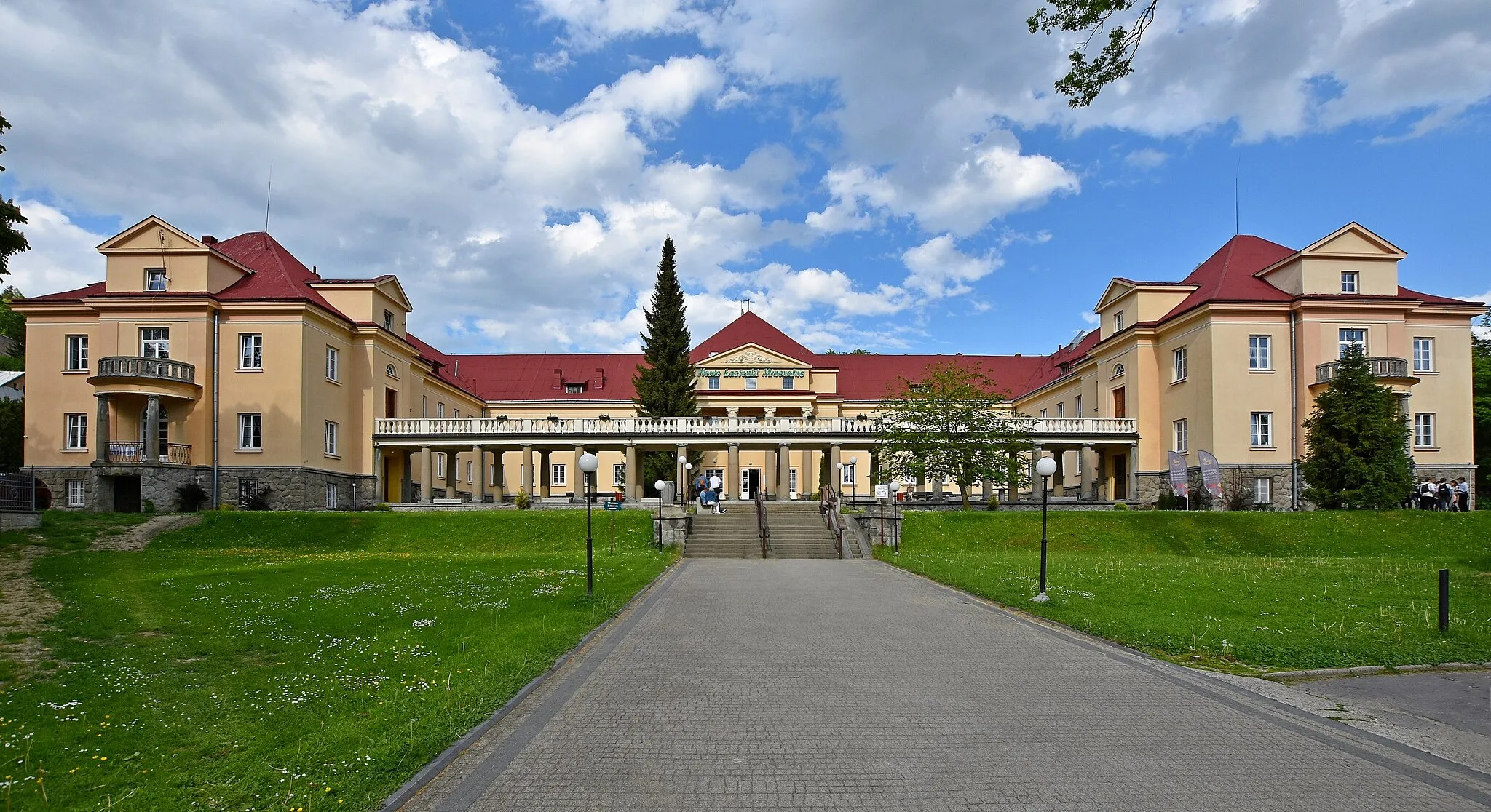
Stará Ľubovňa is a locality situated in the Východné Slovensko region of Slovakia. From a cyclist's standpoint, Stará Ľubovňa offers good cycling opportunities. The area is surrounded by picturesque landscapes and quiet rural roads, making it ideal for road and gravel cycling. Additionally, Stará Ľubovňa is close to the famous ascent of Spiš Castle, making it a popular destination for cycling enthusiasts. If you're looking for a challenging climb in a beautiful setting, Stará Ľubovňa is a must-visit locality.8 km
8 km
Hombarg705 mPeakHombarg offers breathtaking views of the Tatra Mountains.
16 km
16 km
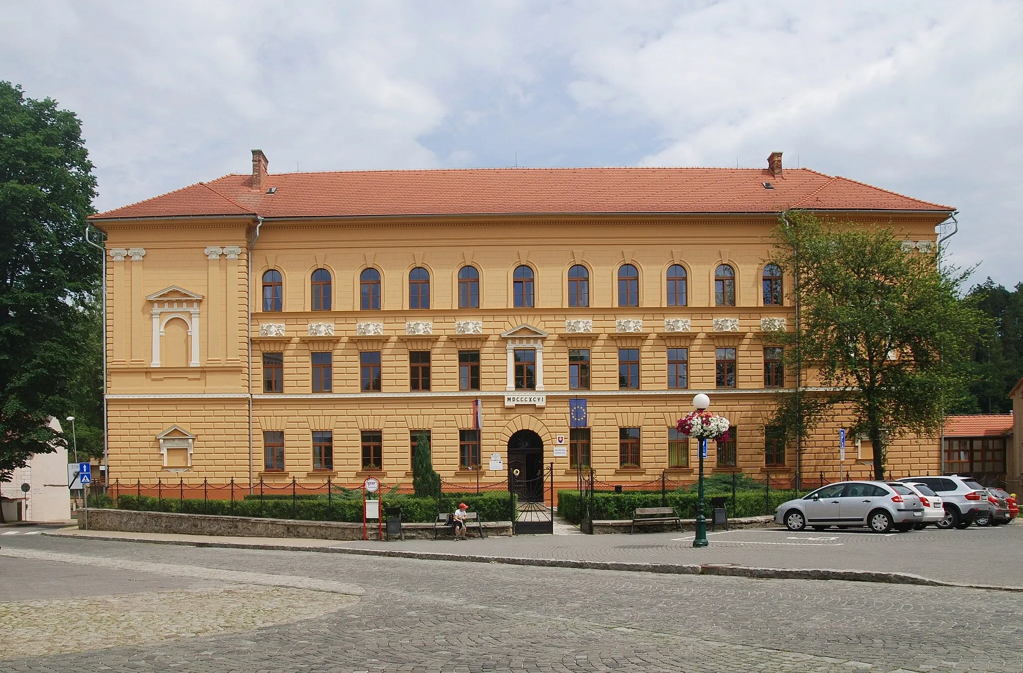
PodolínecTownPodolínec is a medieval town known for its well-preserved historic center.
33 km
33 km
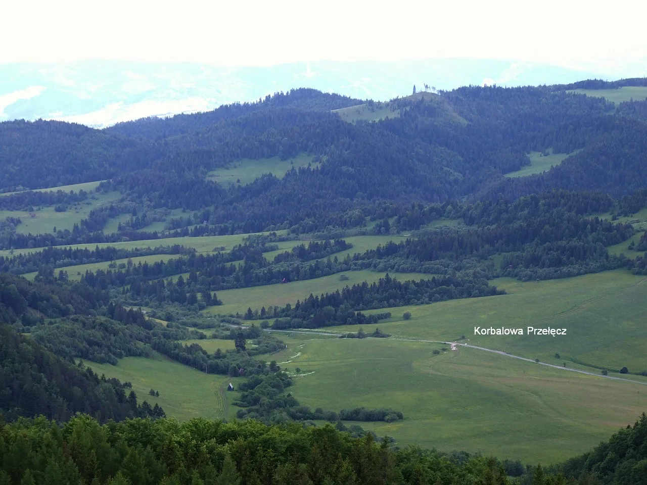
Hulok1003 mPeakHulok is a picturesque village nestled in the beautiful Spiš region.
35 km
35 km
ReľovVillageReľov is a small village with charming wooden houses and stunning views of the surrounding countryside.
45 km
45 km
Veľká FrankováVillageVeľká Franková is a peaceful village surrounded by scenic landscapes and rolling hills.
54 km
54 km
Biała Góra635 mPeakBiała Góra offers panoramic views of the surrounding mountains and valleys.
65 km
65 km
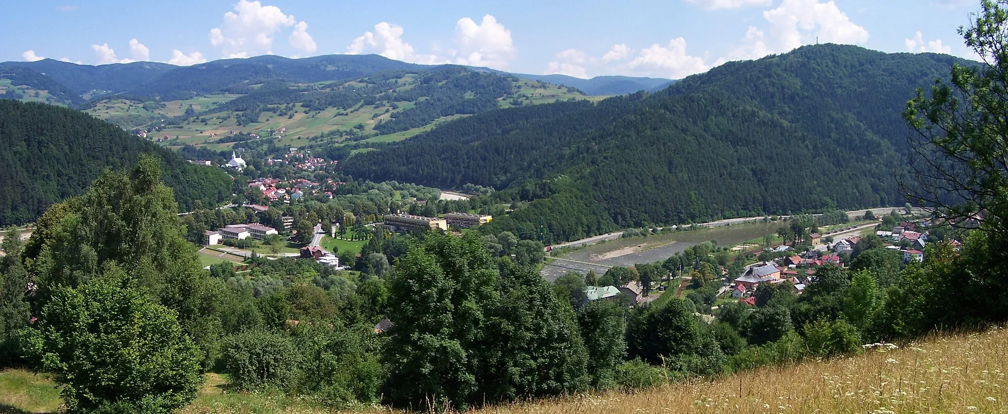
Červený KláštorVillageČervený Kláštor is home to a historic monastery and is located on the banks of the Dunajec River.
67 km
67 km
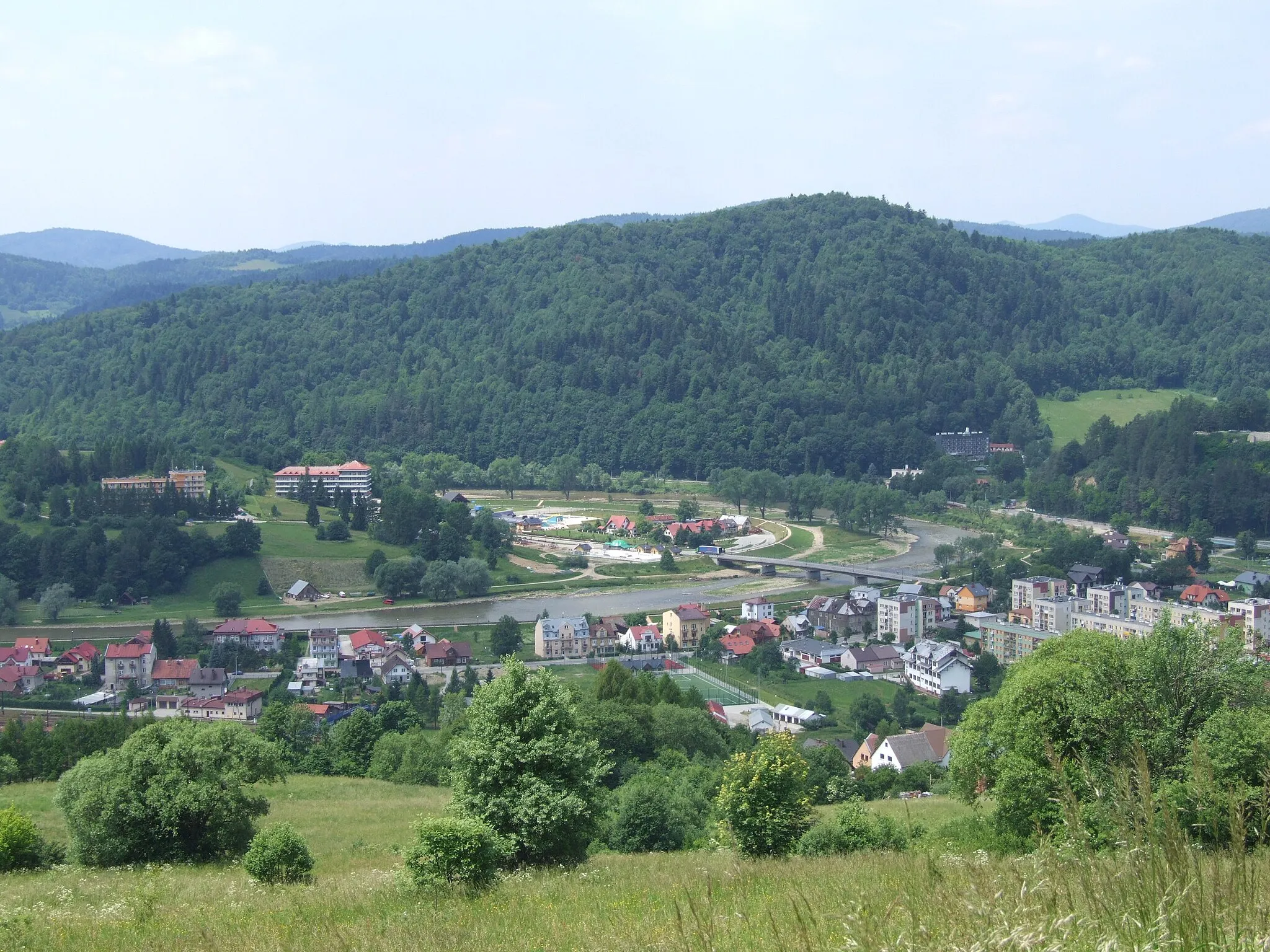
Kama622 mPeakKama is a scenic village located on the banks of the Poprad River.
76 km
76 km
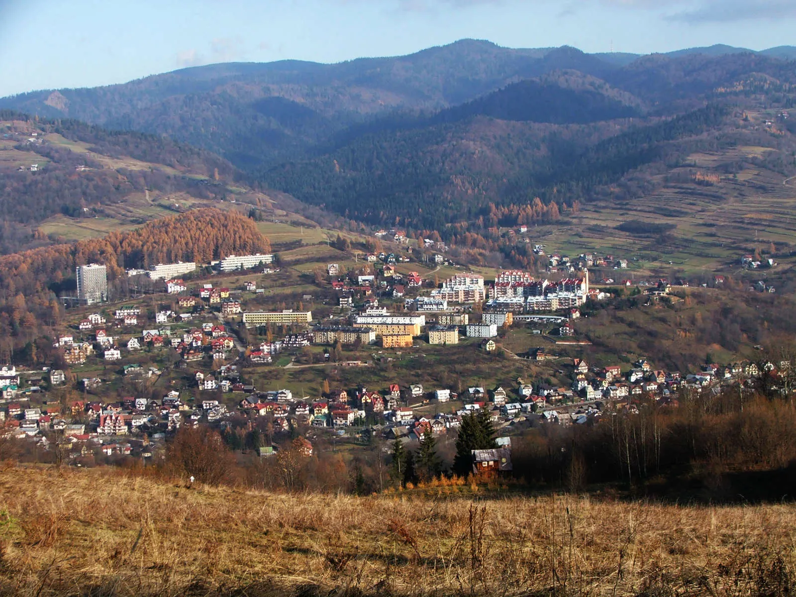
StráňanyVillageStráňany is a traditional Slovak village with beautiful wooden houses and a charming atmosphere.
78 km
78 km
Stráňanské sedlo730 mMountain PassStráňanské sedlo offers stunning views of the surrounding mountains and valleys.
92 km
92 km
Finish: Stará Ľubovňa City centerStará Ľubovňa: Cyclist's delight with remarkable views and the famous Spiš Castle nearby in Východné Slovensko region.
Cycling routes nearby: