The Mountain Challenge
A road cycling route starting from Stara Lubovna
Conquer the mountains of Eastern Slovakia on this epic road route
Map
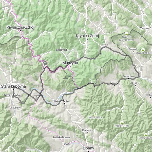
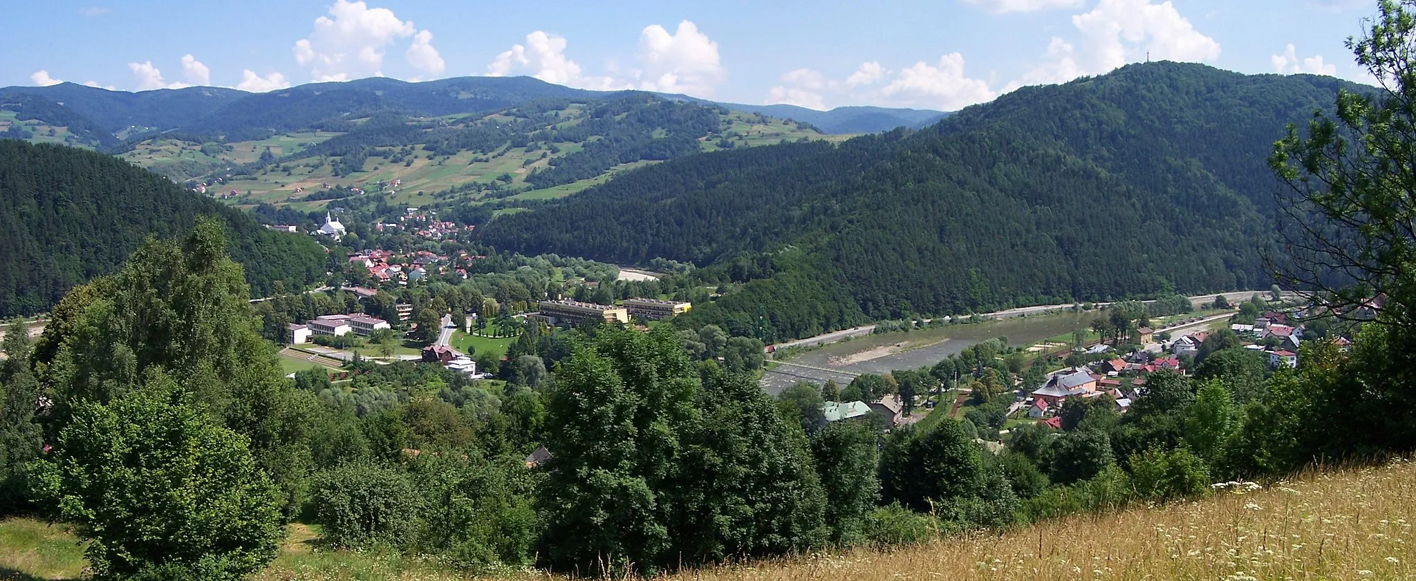
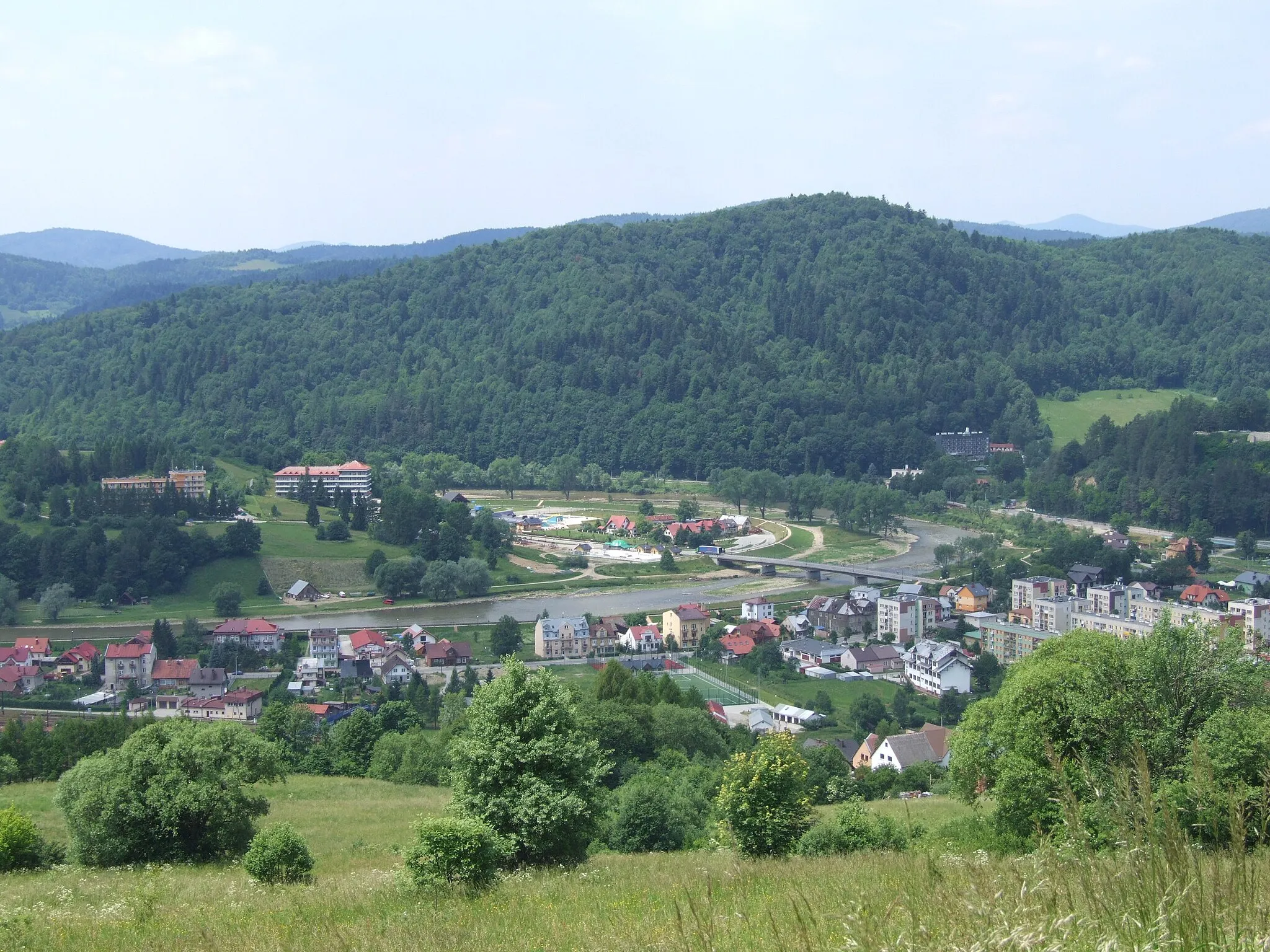
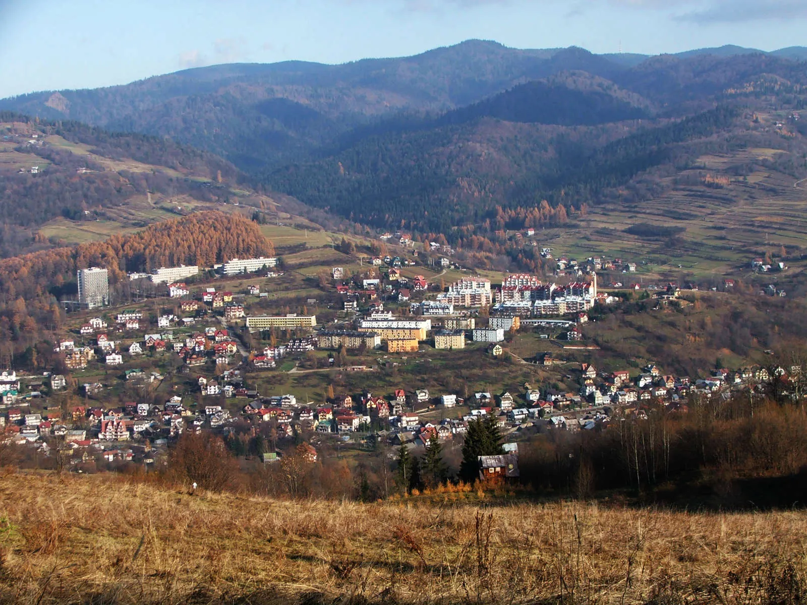
Take on the challenge of this 103 km road cycling route which takes you through some of Eastern Slovakia's most scenic mountain landscapes. With an elevation gain of 1289 meters, this route is perfect for cyclists who love climbing. Discover the rich history of the region as you pass through charming villages and iconic landmarks. Experience the thrill of conquering the mountain peaks and enjoy the breathtaking views from the top.
road
103 km
1289 m
Tough
Route profile
Highlights on the route
0 km
0 km
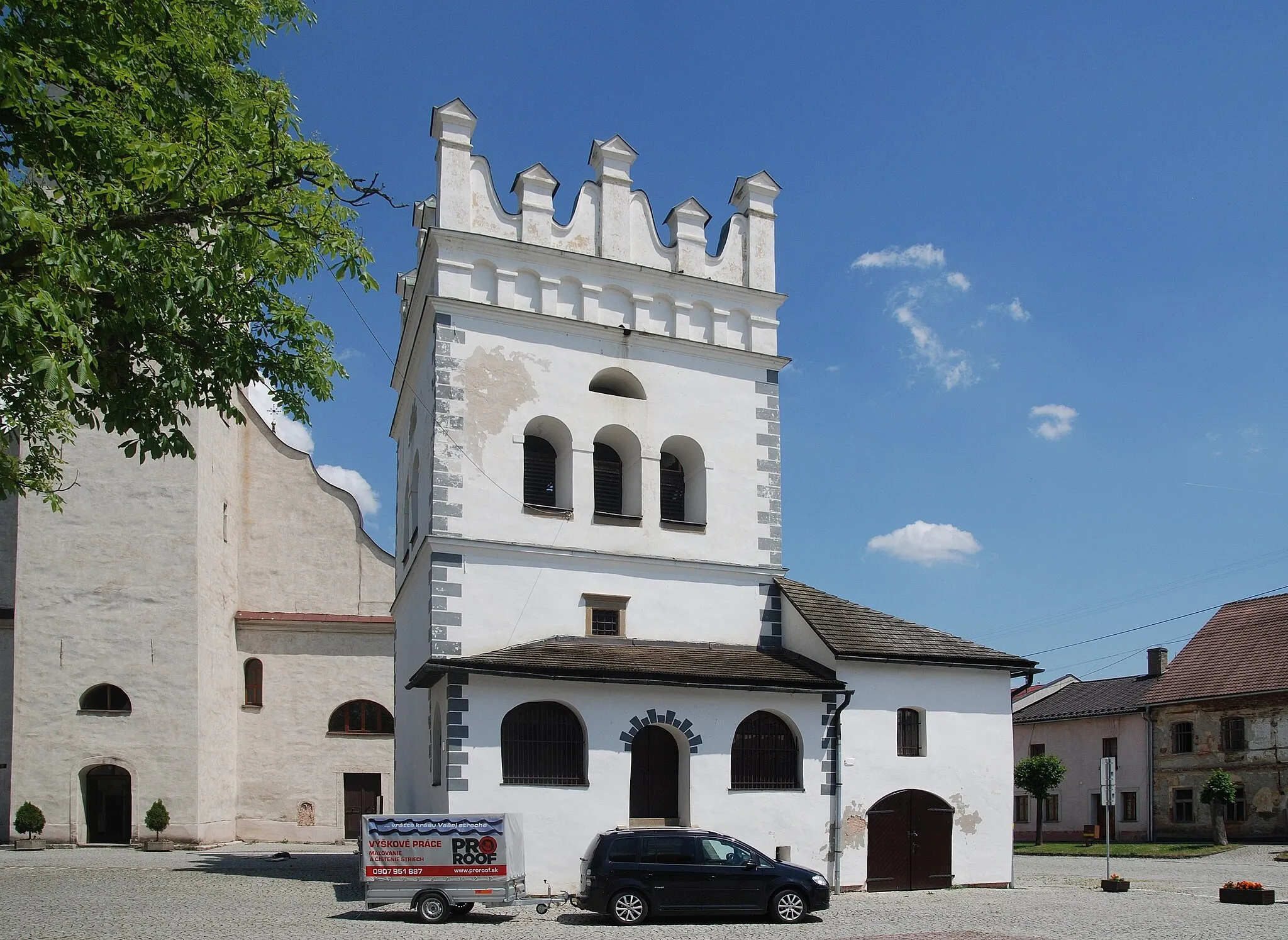
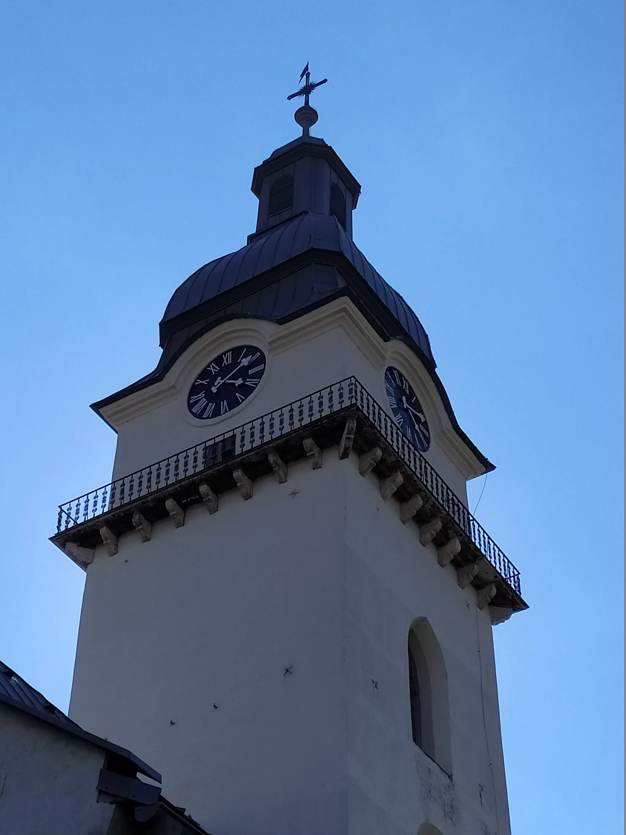
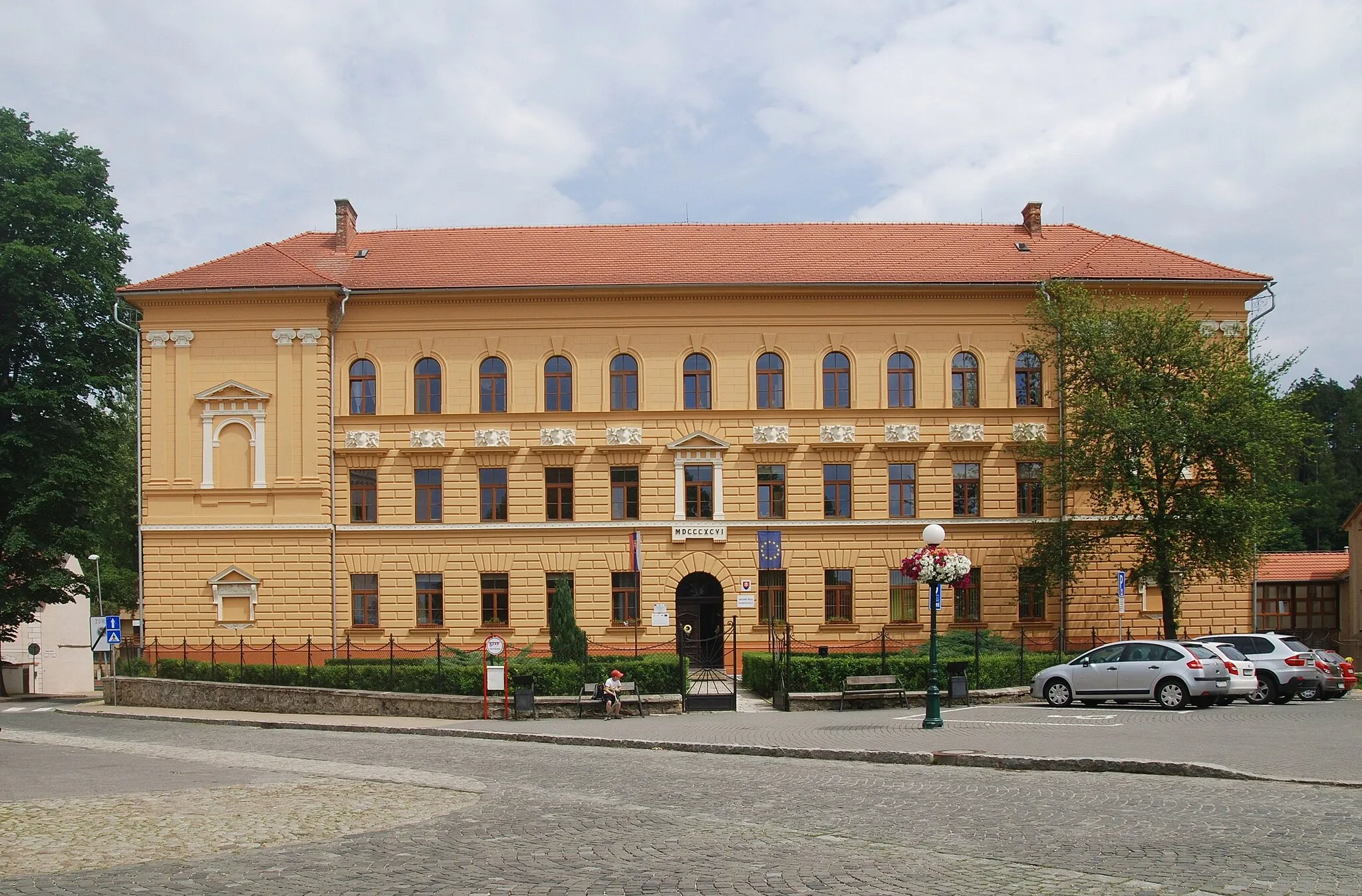
Start: Stará Ľubovňa City centerStará Ľubovňa: Cyclist's delight with remarkable views and the famous Spiš Castle nearby in Východné Slovensko region.
Stará Ľubovňa is a locality situated in the Východné Slovensko region of Slovakia. From a cyclist's standpoint, Stará Ľubovňa offers good cycling opportunities. The area is surrounded by picturesque landscapes and quiet rural roads, making it ideal for road and gravel cycling. Additionally, Stará Ľubovňa is close to the famous ascent of Spiš Castle, making it a popular destination for cycling enthusiasts. If you're looking for a challenging climb in a beautiful setting, Stará Ľubovňa is a must-visit locality.7 km
7 km
Bakuľa631 mPeakBakuľa is a popular hiking spot with stunning views of the surrounding mountains.
8 km
8 km
PlavnicaVillagePlavnica is a small village surrounded by lush forests and tranquil nature.
18 km
18 km
Kiczera561 mPeakKiczera is a mountain pass located on the border between Slovakia and Poland, offering breathtaking views.
27 km
27 km
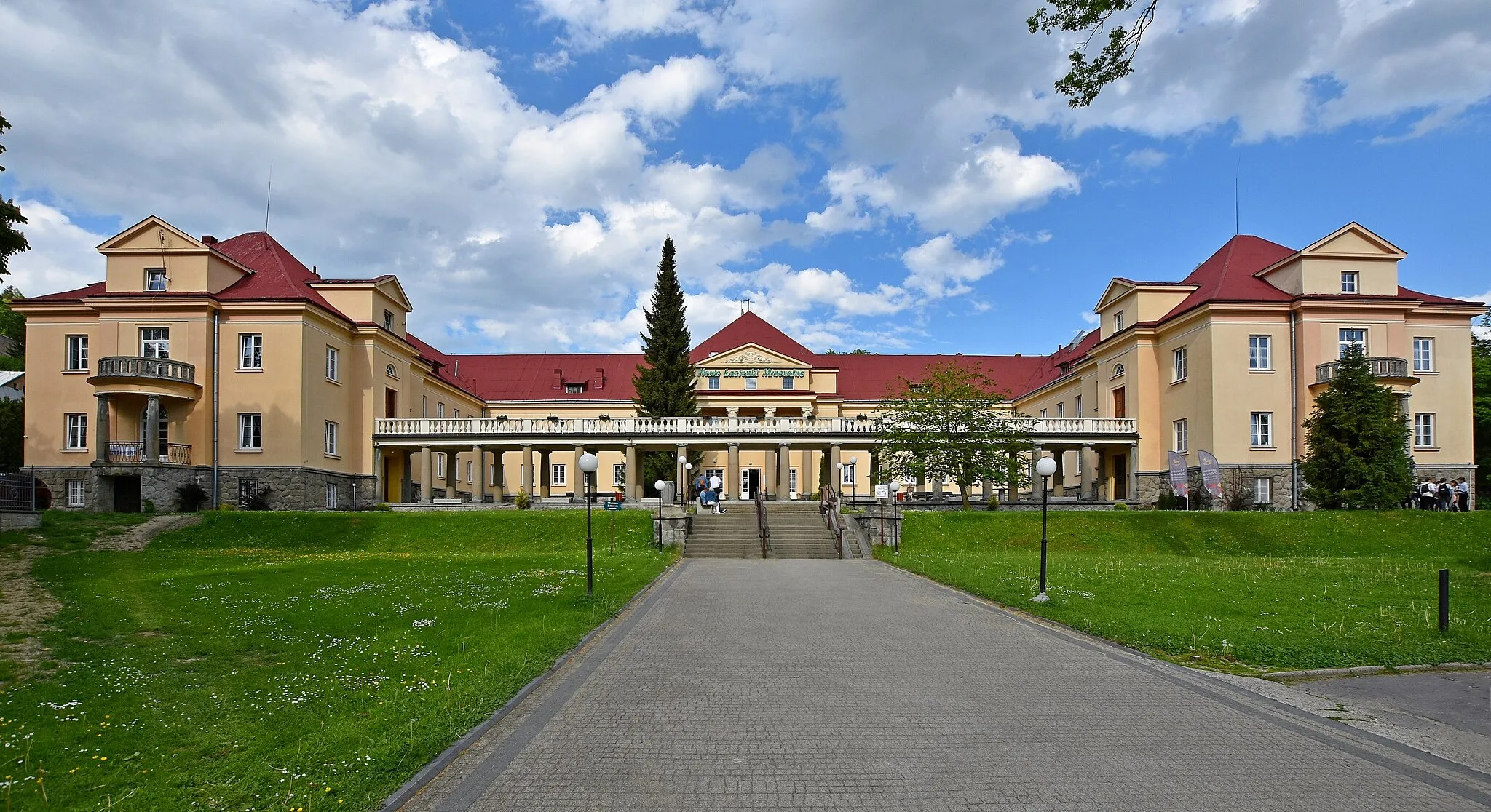
MuszynaTownMuszyna is a popular spa town famous for its mineral water springs.
40 km
40 km
Szubienica683 mPeakSzubienica offers stunning views of the surrounding mountains and valleys.
58 km
58 km
Ševcov vrch468 mPeakŠevcov vrch is a beautiful mountain peak with panoramic views of the surrounding area.
64 km
64 km
LenartovVillageLenartov is a village known for its traditional wooden houses and picturesque countryside.
78 km
78 km
OrlovVillageOrlov is a small village located in a peaceful and secluded area surrounded by forests.
81 km
81 km
Ľubotínska hora576 mPeakĽubotínska hora is a popular hiking destination with stunning views from the top.
97 km
97 km
Modrenina818 mPeakModrenina is a beautiful mountain peak that offers panoramic views of the surrounding landscape.
103 km
103 km
Finish: Stará Ľubovňa City centerStará Ľubovňa: Cyclist's delight with remarkable views and the famous Spiš Castle nearby in Východné Slovensko region.
Cycling routes nearby: