The Mountain Explorer
A gravel cycling route starting from Strba
Embark on an adventurous gravel journey through the spectacular mountains of Slovakia
Map
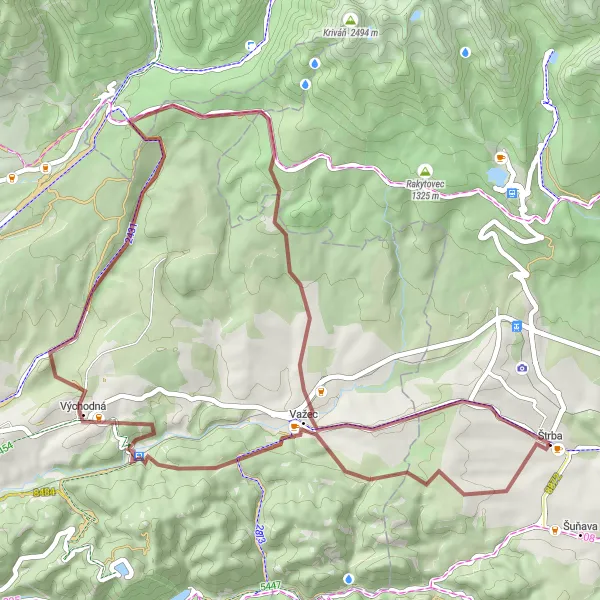
Get ready for a thrilling gravel adventure through the majestic mountains of Slovakia with this challenging route. With a total ascent of 1050 meters and a distance of 51 kilometers, this route is ideal for experienced gravel cyclists seeking a true mountain biking experience. As you pedal from Štrba to Východná, you'll encounter breathtaking landscapes, hidden natural wonders such as the Hybická tiesňava gorge, and cultural landmarks like the Rožňava view tower.
gravel
51 km
1050 m
Savage
Route profile
Highlights on the route
0 km
0 km
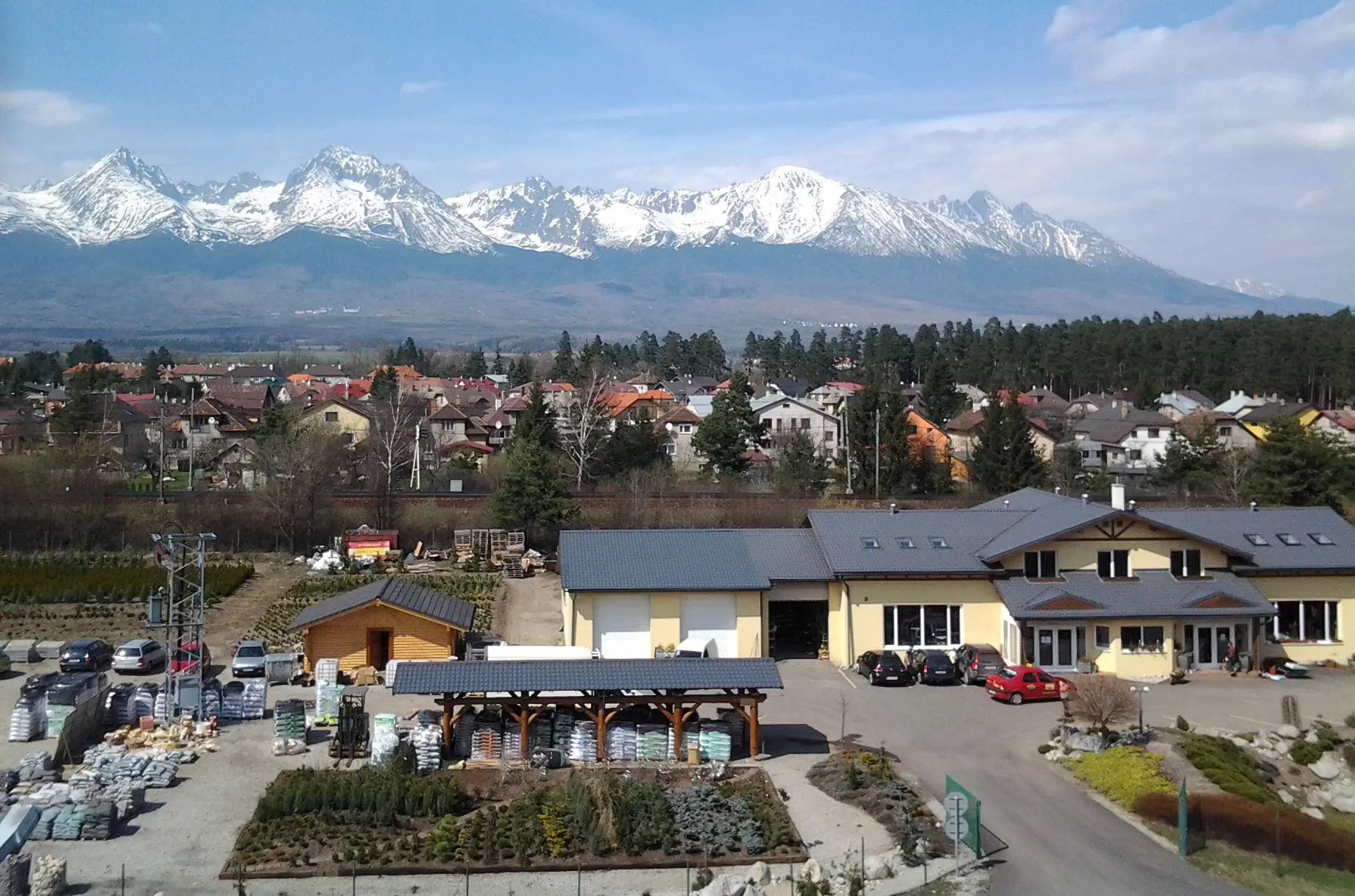
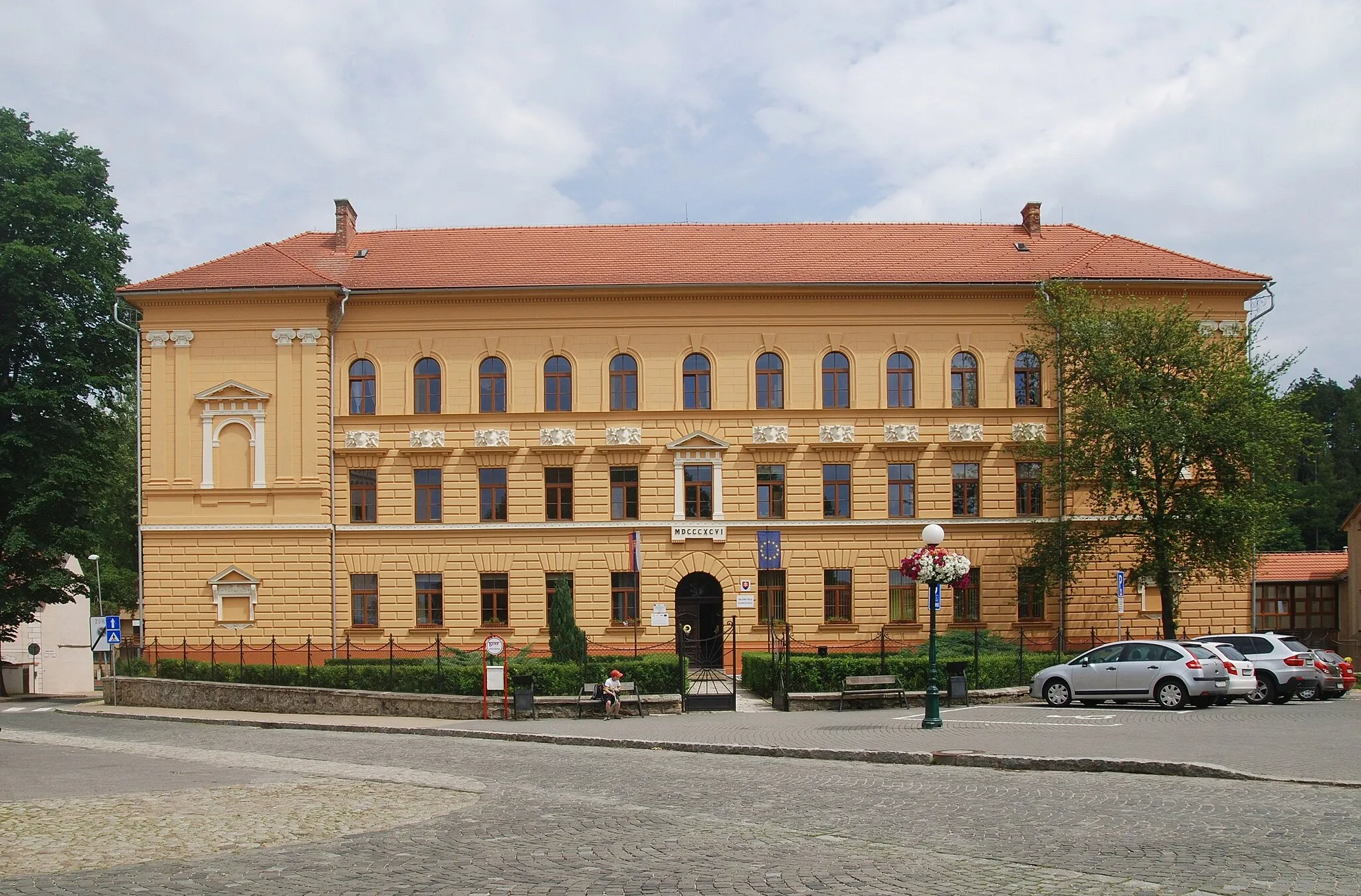
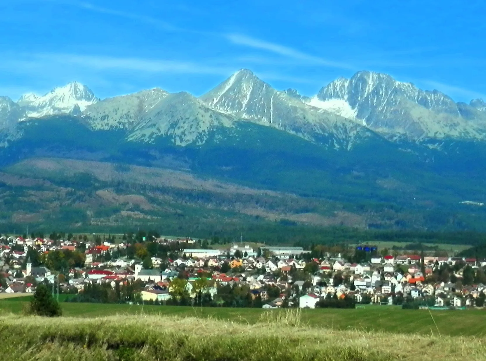
Start: Štrba Village centerŠtrba: Challenging climbs in the Slovakian mountains
Štrba is a small town situated in Východné Slovensko, Slovakia. From a cyclist's point of view, Štrba offers beautiful road and gravel cycling routes with stunning mountain views. The surrounding area is characterized by hilly terrain, making it suitable for cyclists who enjoy challenging climbs. One of the nearby famous cycling spots is the climb to Tatranská Lomnica, popular among road cyclists. This climb is known for its scenic views and challenging gradient. Therefore, Štrba is a great locality for cyclists who seek thrilling rides in the Slovakian mountains.4 km
4 km
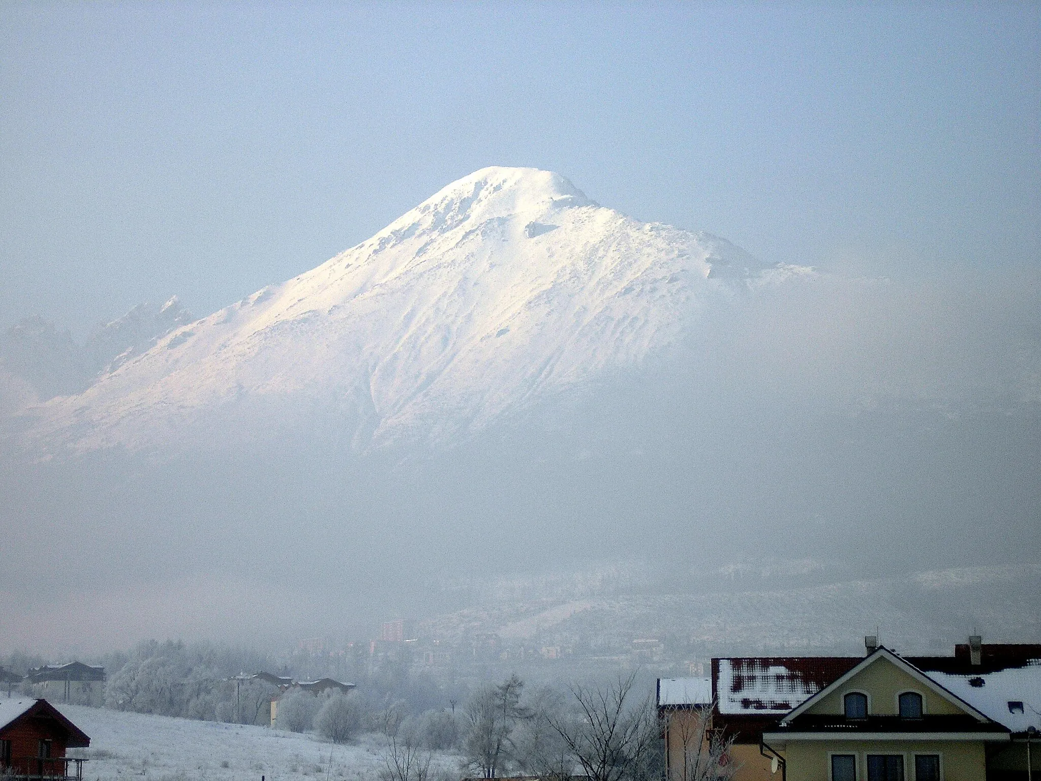
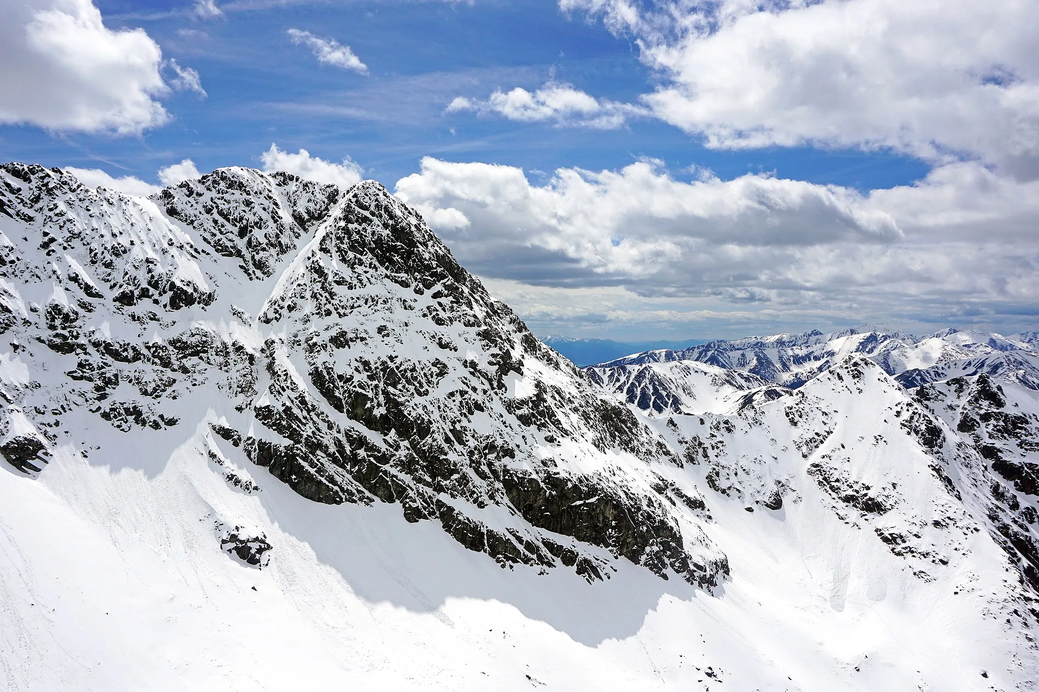
Konská hlava985 mPeakVisit Konská hlava, a rock formation that offers breathtaking panoramic views of the mountains.
9 km
9 km
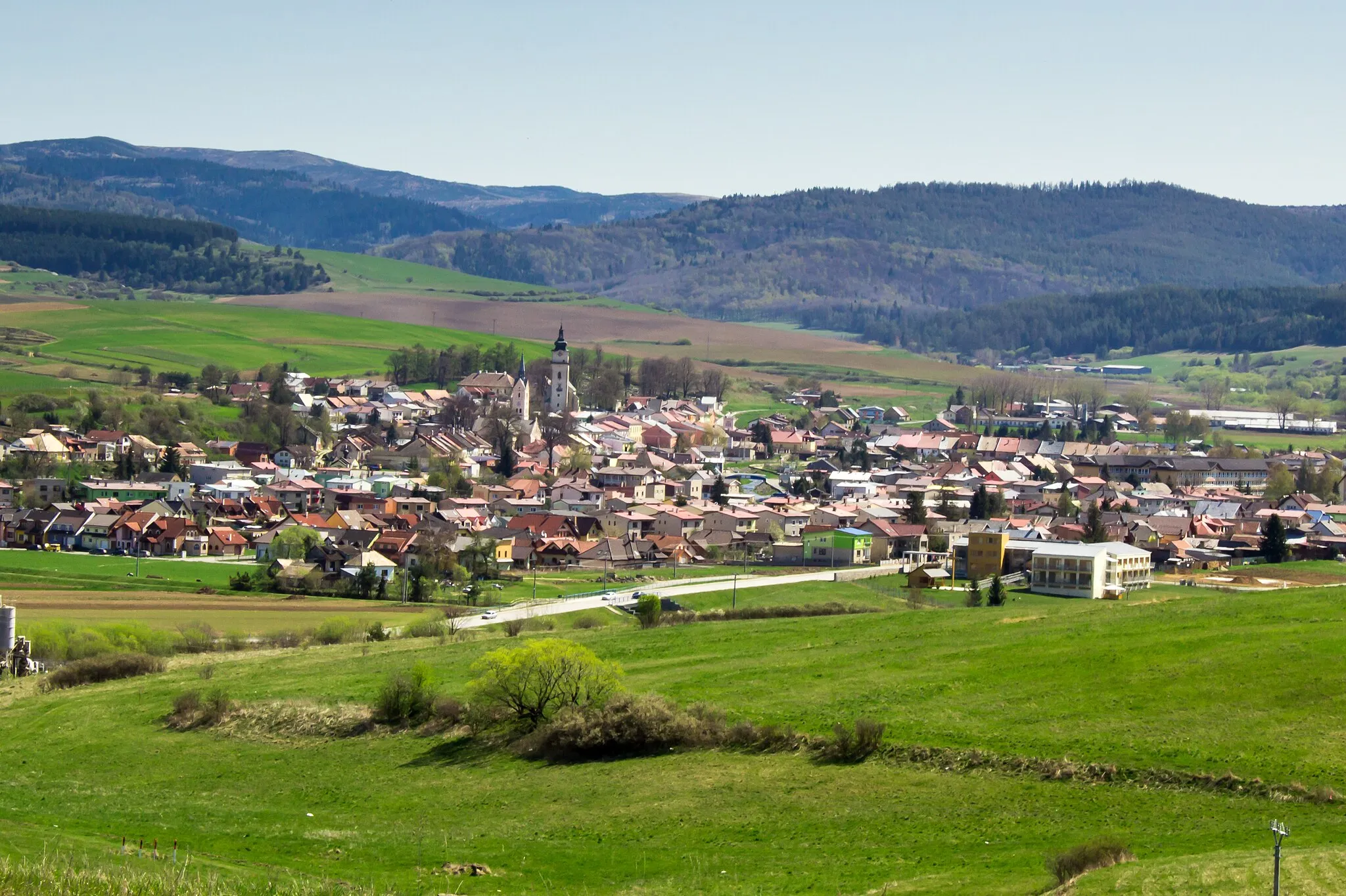
VažecVillageExplore Važec and its surrounding nature, known for its beautiful hiking trails and stunning vistas.
18 km
18 km
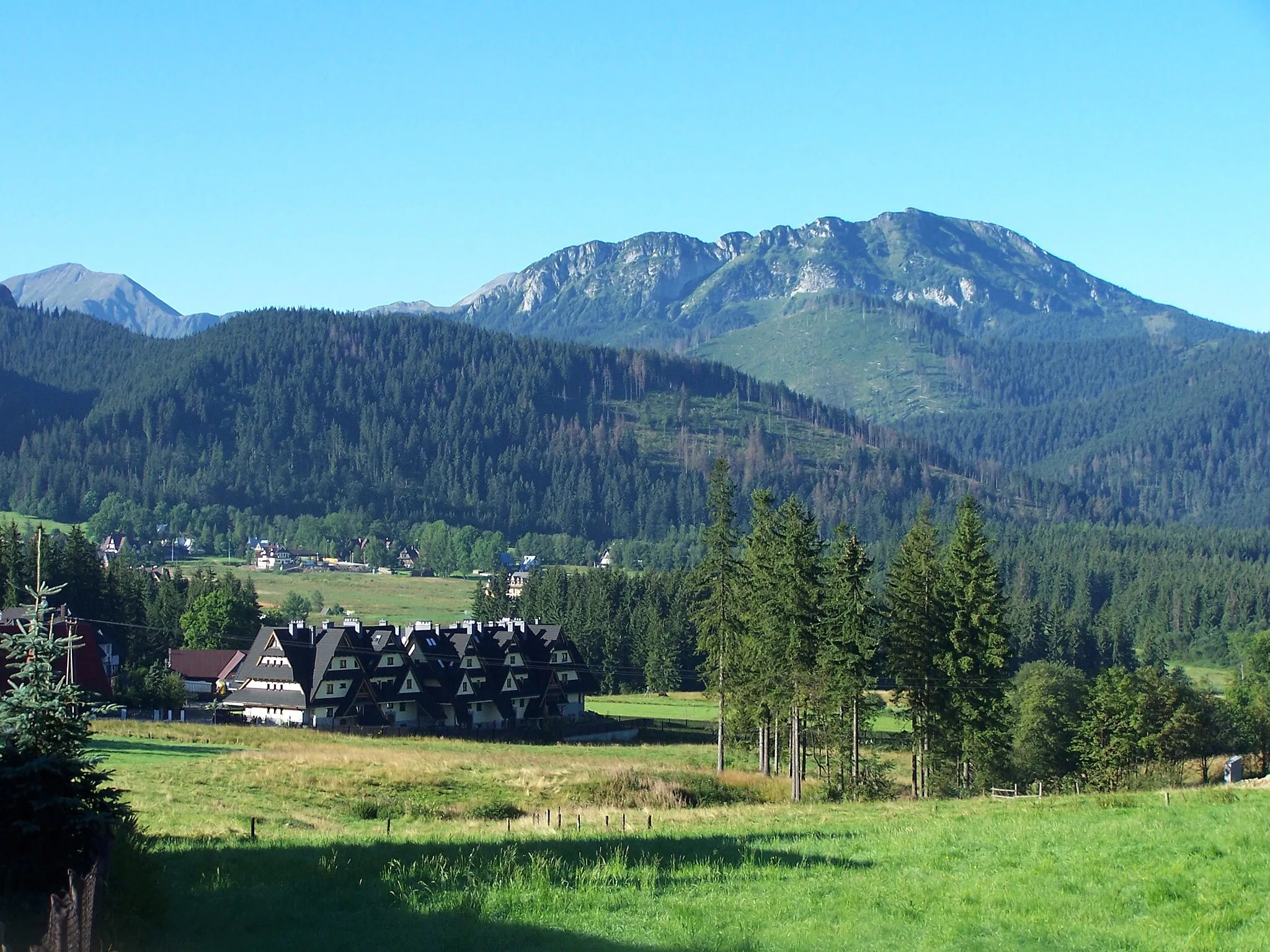
Rozhľadňa MájkaViewpointClimb the Rožňava view tower and enjoy panoramic views of the surrounding mountains.
19 km
19 km
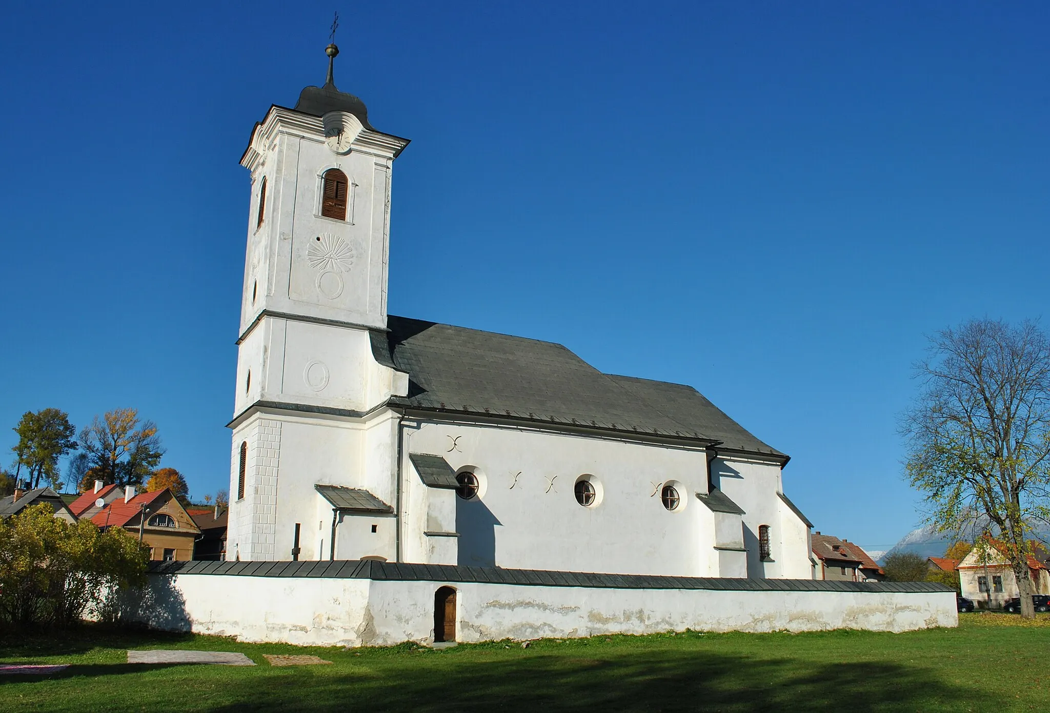
VýchodnáVillageDiscover Východná and its cultural heritage, including traditional folk architecture and local customs.
24 km
24 km
Hybická tiesňavaAttractionExplore the Hybická tiesňava gorge, a hidden gem with dramatic rock formations and stunning natural beauty.
49 km
49 km
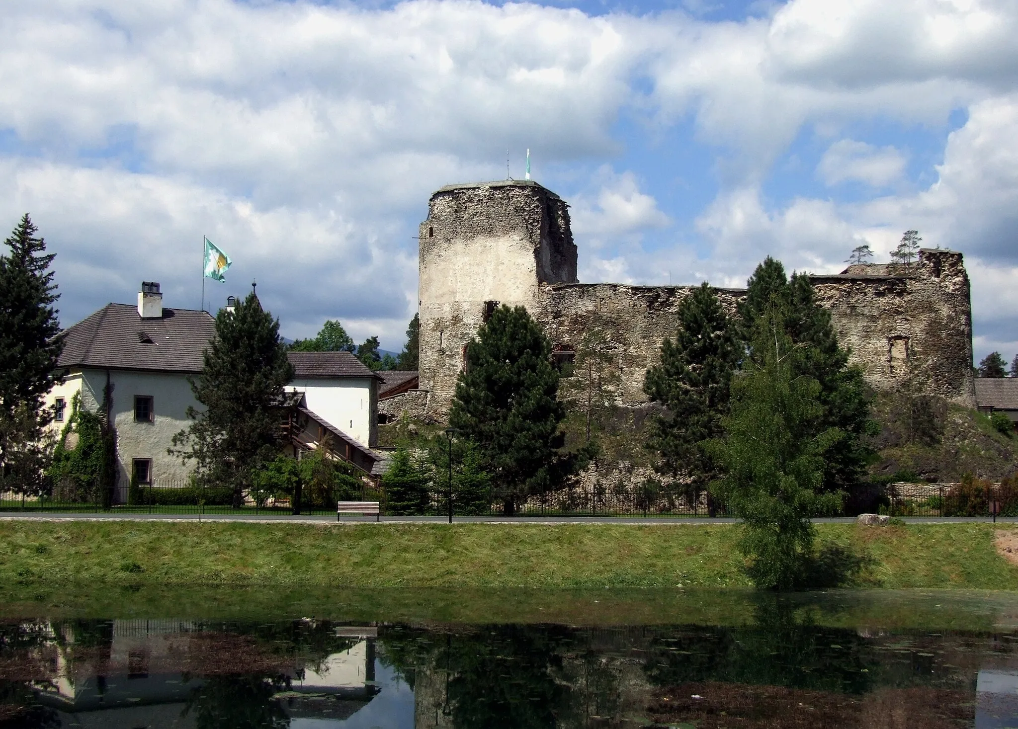
Stredoveká zaniknutá osada ŠoldovAttractionVisit the medieval settlement of Šoldov and immerse yourself in its intriguing history and mysterious atmosphere.
51 km
51 km
Finish: Štrba Village centerŠtrba: Challenging climbs in the Slovakian mountains
Cycling routes nearby: