The Martin Loop
A road cycling route starting from Strba
Experience the beauty of Martin and its surroundings on this road cycling route
Map
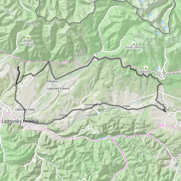
Get ready to explore the scenic Martin region in eastern Slovakia with this road cycling route. With a total ascent of 1314 meters and a distance of 87 kilometers, this route is perfect for intermediate cyclists looking for a moderate challenge. From the charming village of Važec to the historical site of Skalka, this route offers a mix of natural beauty and cultural discoveries. The highlights include Važec, a picturesque village with stunning views, and Surový hrádok, a historic site that will take you back in time.
road
87 km
1314 m
Tough
Route profile
Highlights on the route
0 km
0 km
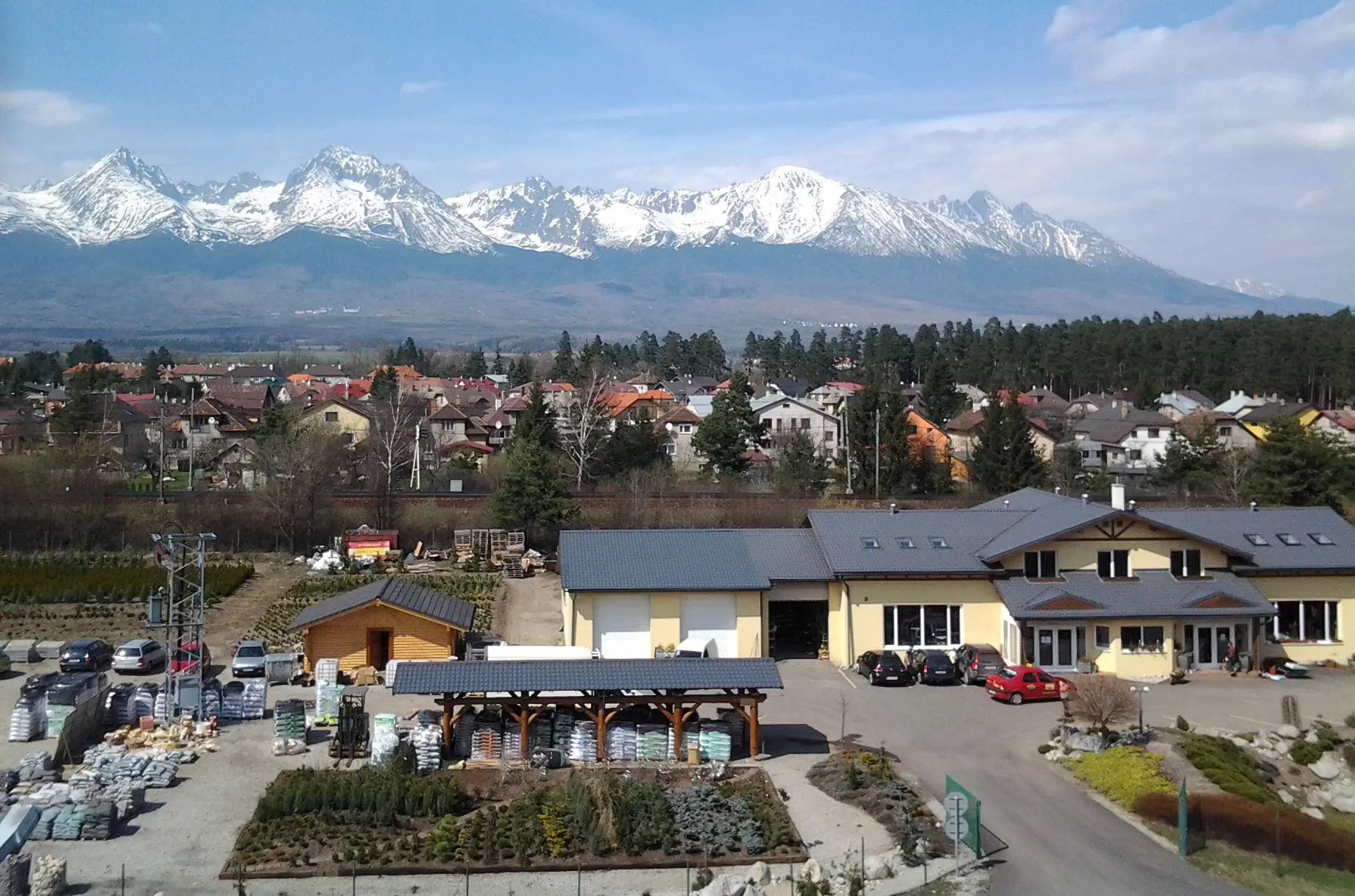
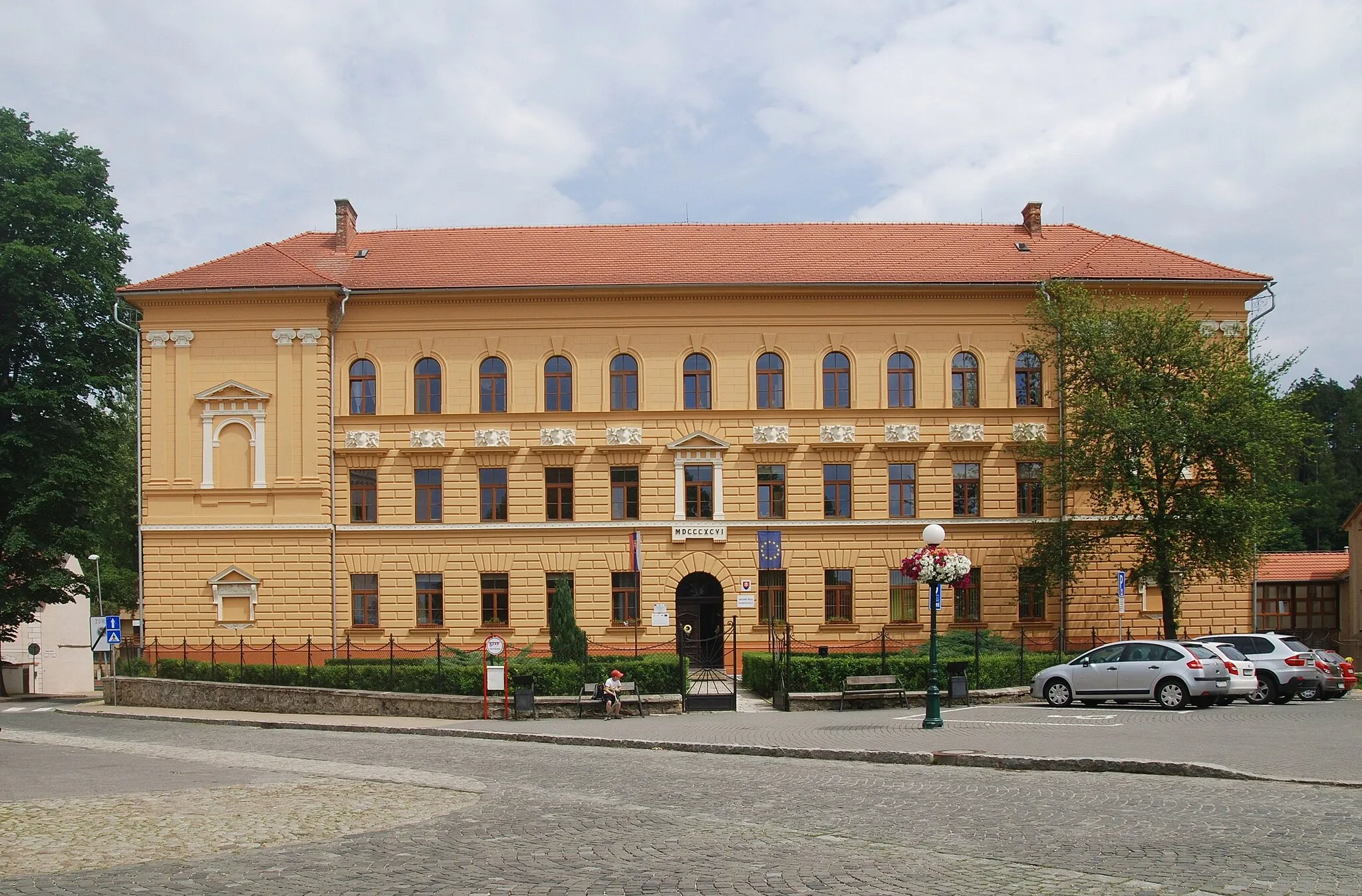
Start: Štrba Village centerŠtrba: Challenging climbs in the Slovakian mountains
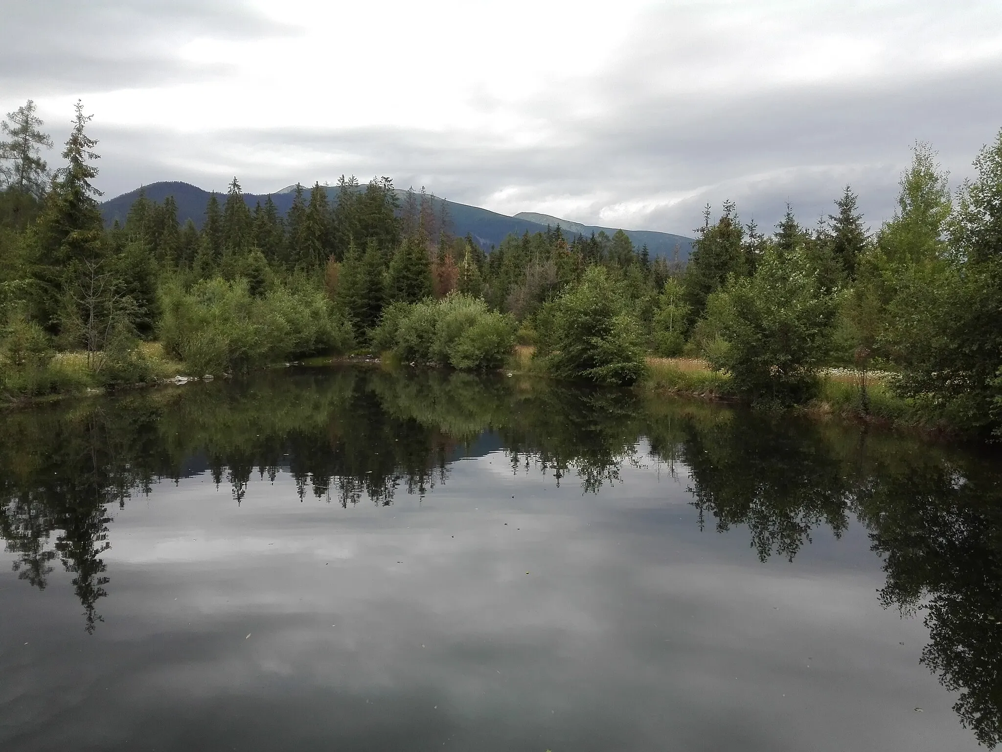
Štrba is a small town situated in Východné Slovensko, Slovakia. From a cyclist's point of view, Štrba offers beautiful road and gravel cycling routes with stunning mountain views. The surrounding area is characterized by hilly terrain, making it suitable for cyclists who enjoy challenging climbs. One of the nearby famous cycling spots is the climb to Tatranská Lomnica, popular among road cyclists. This climb is known for its scenic views and challenging gradient. Therefore, Štrba is a great locality for cyclists who seek thrilling rides in the Slovakian mountains.7 km
7 km
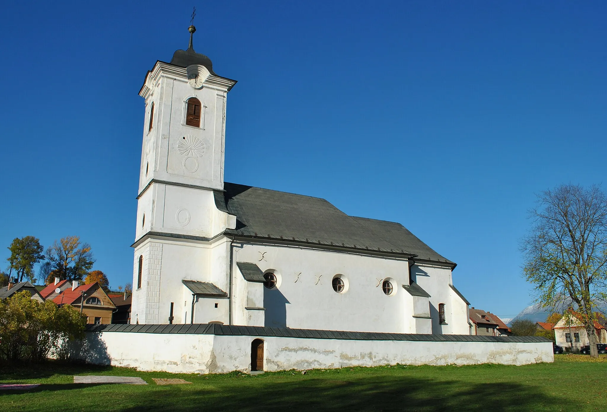
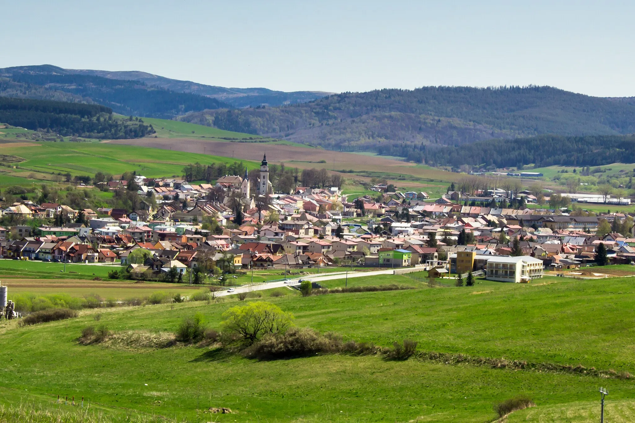
VažecVillageExplore the village of Važec and enjoy its natural beauty and picturesque surroundings.
15 km
15 km
Za Martinom826 mPeakDiscover Za Martinom and its fascinating history and culture.
28 km
28 km
SkalkaViewpointVisit Skalka, a historical site known for its striking rock formations.
29 km
29 km
Liptovský PeterVillageExperience the charm of Liptovský Peter and its beautiful surrounding nature.
44 km
44 km
JakubovanyVillageTake a break at Jakubovany, a village known for its traditional architecture and stunning views.
62 km
62 km
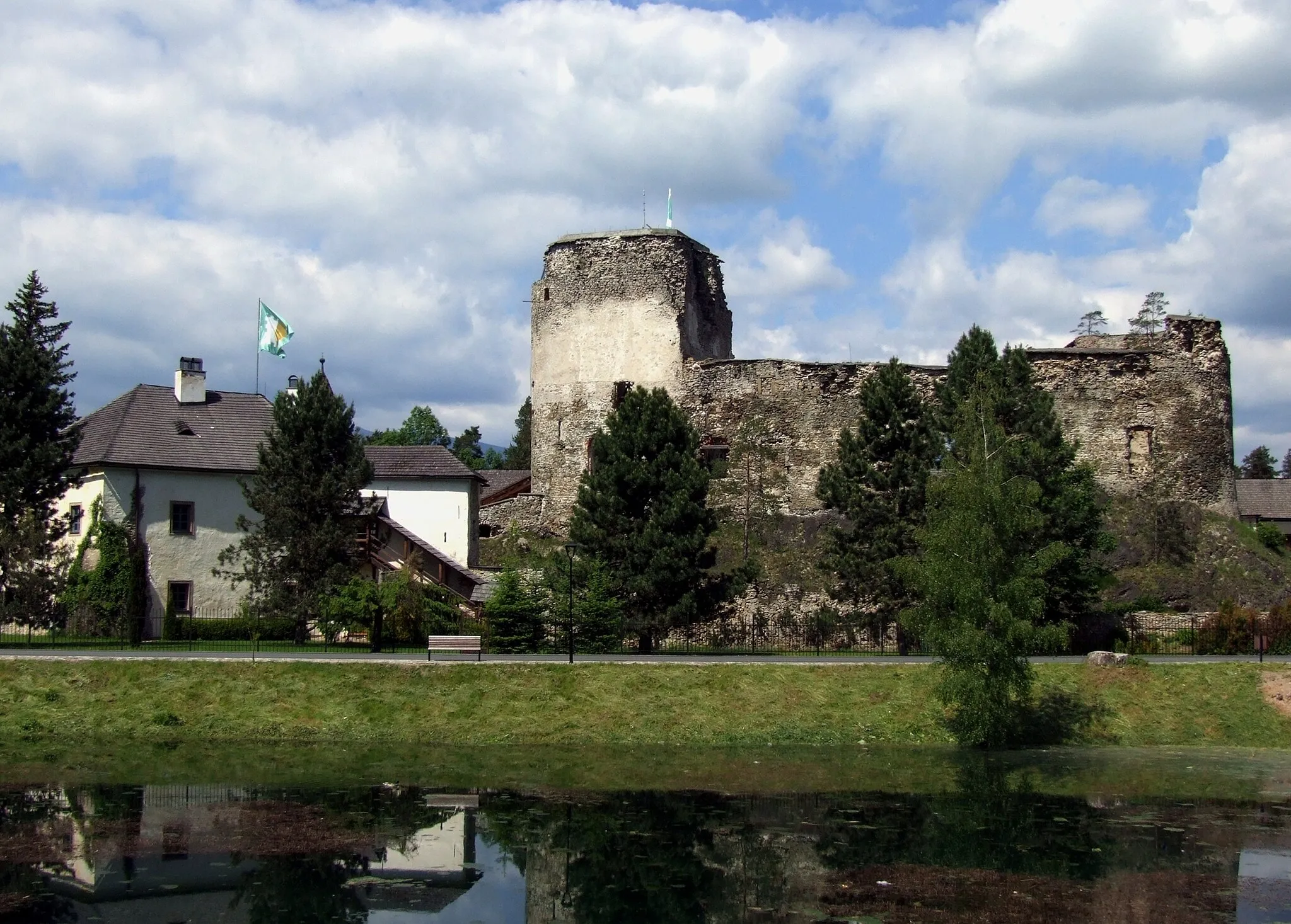
Surový hrádok1016 mPeakExplore Surový hrádok, a historic site that offers a glimpse into the past.
63 km
63 km
PodbanskéSub-urbVisit Podbanské, a popular tourist destination with breathtaking mountain scenery.
87 km
87 km
Finish: Štrba Village centerŠtrba: Challenging climbs in the Slovakian mountains
Cycling routes nearby: