Forest Discovery
A road cycling route starting from Polzela
Immerse yourself in the natural beauty of Eastern Slovenia on this forest-themed cycling route.
Map
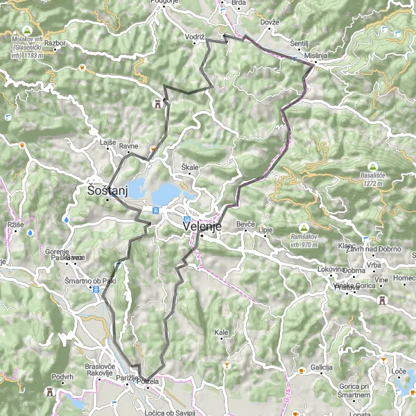
Venture into the heart of Eastern Slovenia's lush forests, which cover vast expanses of the region. This route offers a mix of smooth roads and challenging ascents, providing a taste of both leisurely cycling and thrilling off-road adventures. Along the way, you will encounter historic towns, breathtaking viewpoints, and forests teeming with diverse flora and fauna.
road
64 km
1491 m
Tough
Route profile
Highlights on the route
0 km
0 km
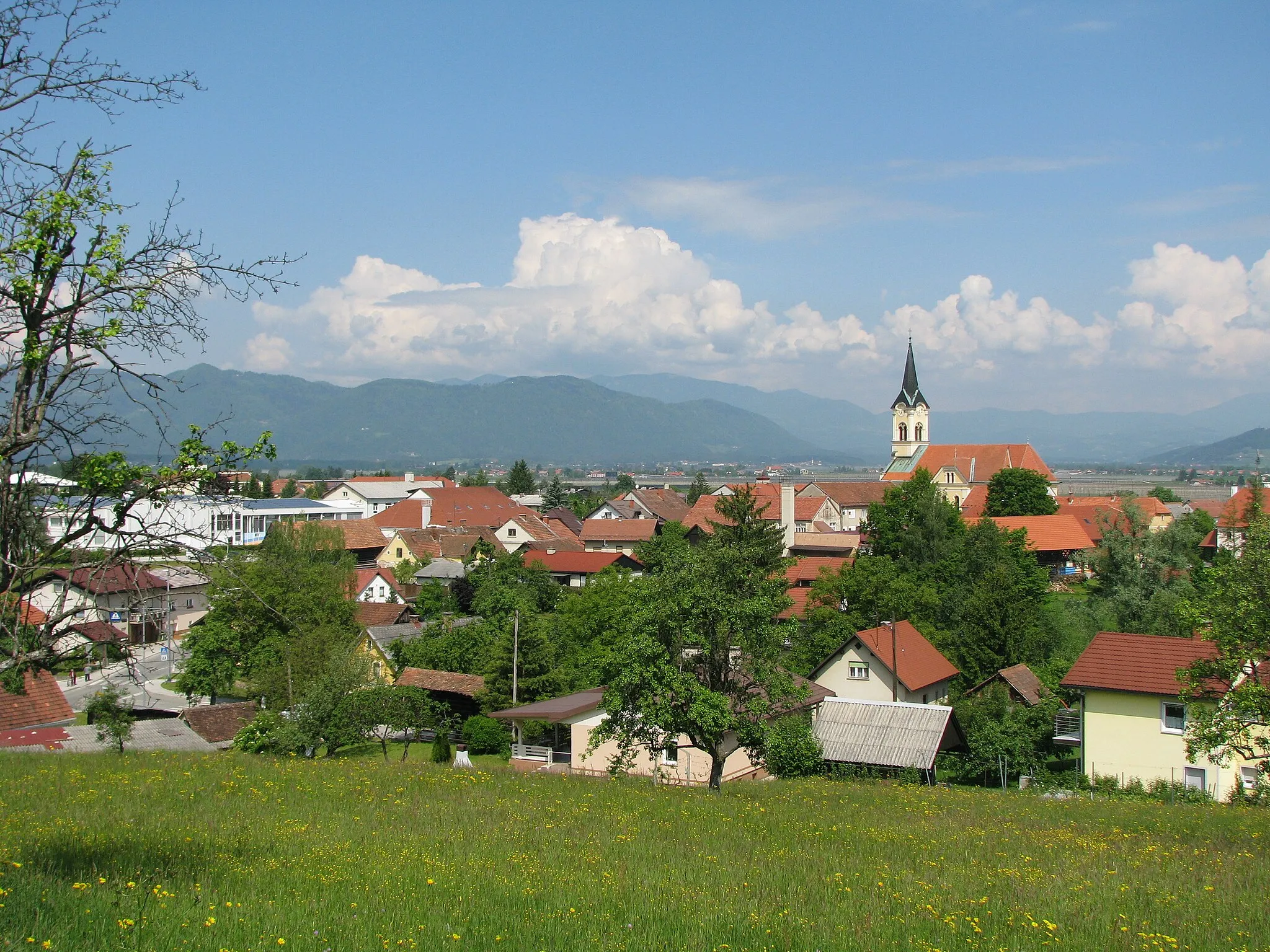
Start: Podvin pri Polzeli Village centerPolzela: Idyllic countryside for peaceful road and gravel cycling in Slovenia.
Polzela is a locality situated in Vzhodna Slovenija, Slovenia. From a cyclist's perspective, Polzela offers an idyllic and peaceful setting for road and gravel cycling. The region boasts picturesque landscapes, charming countryside, and well-maintained roads. Cyclists can enjoy exploring vineyards, rolling hills, and quaint Slovenian villages. While Polzela may not have any famous cycling spots or well-known climbs nearby, its scenic beauty and tranquility make it a pleasant spot for cycling enthusiasts.4 km
4 km
Krog679 mPeak14 km
14 km
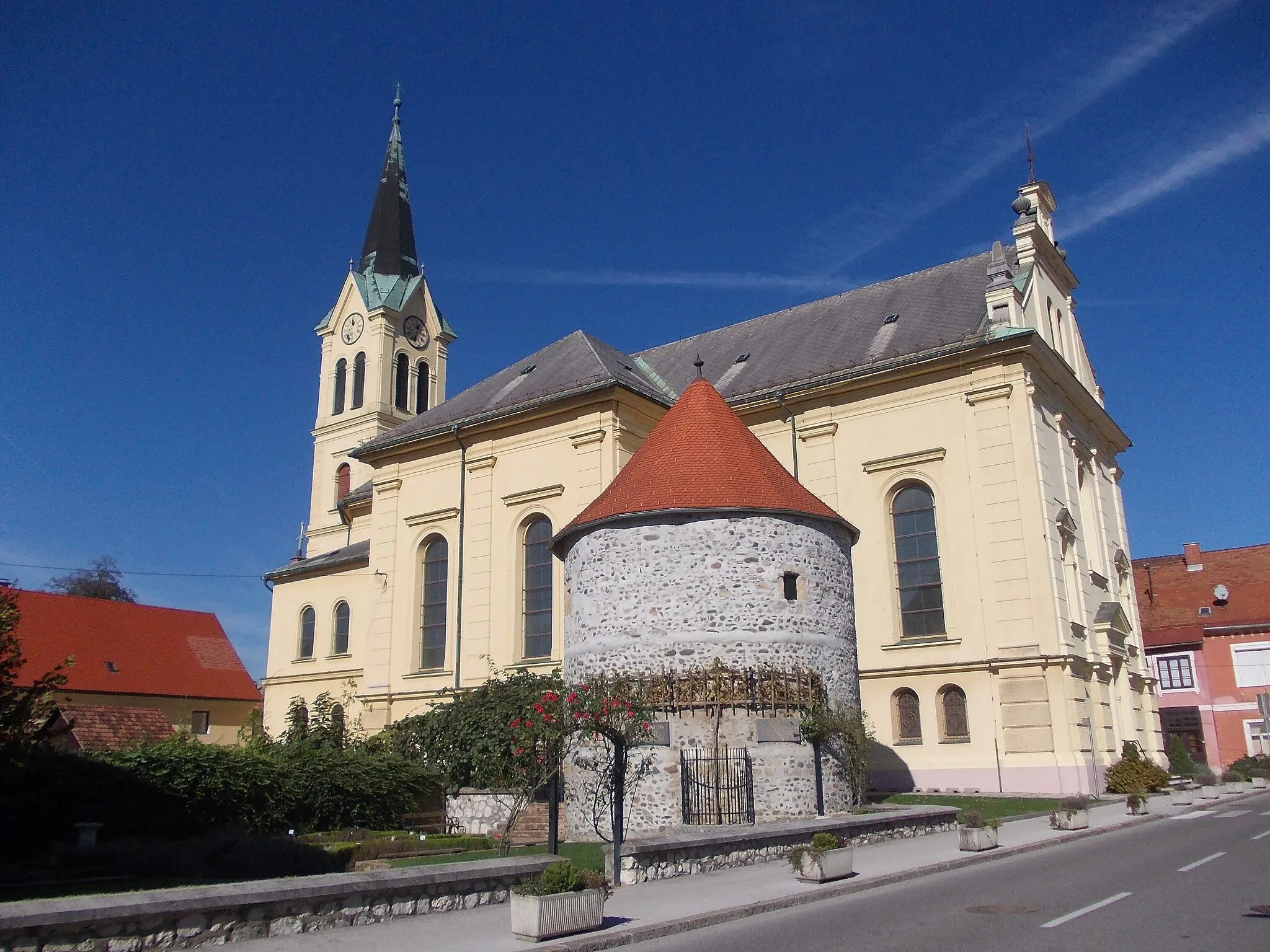
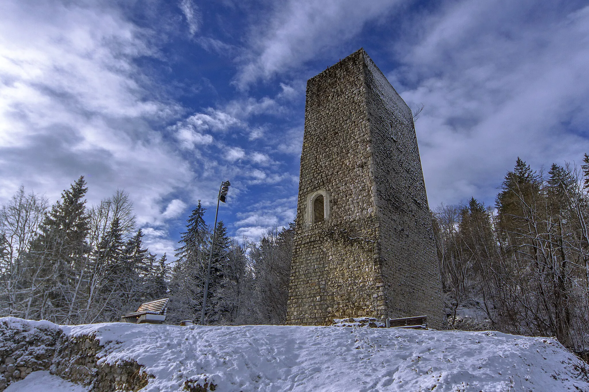
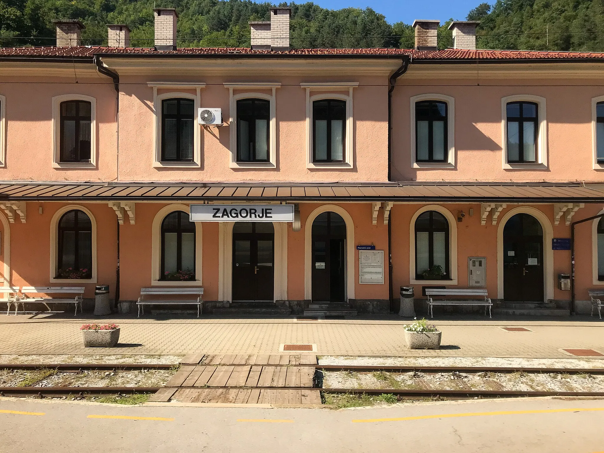
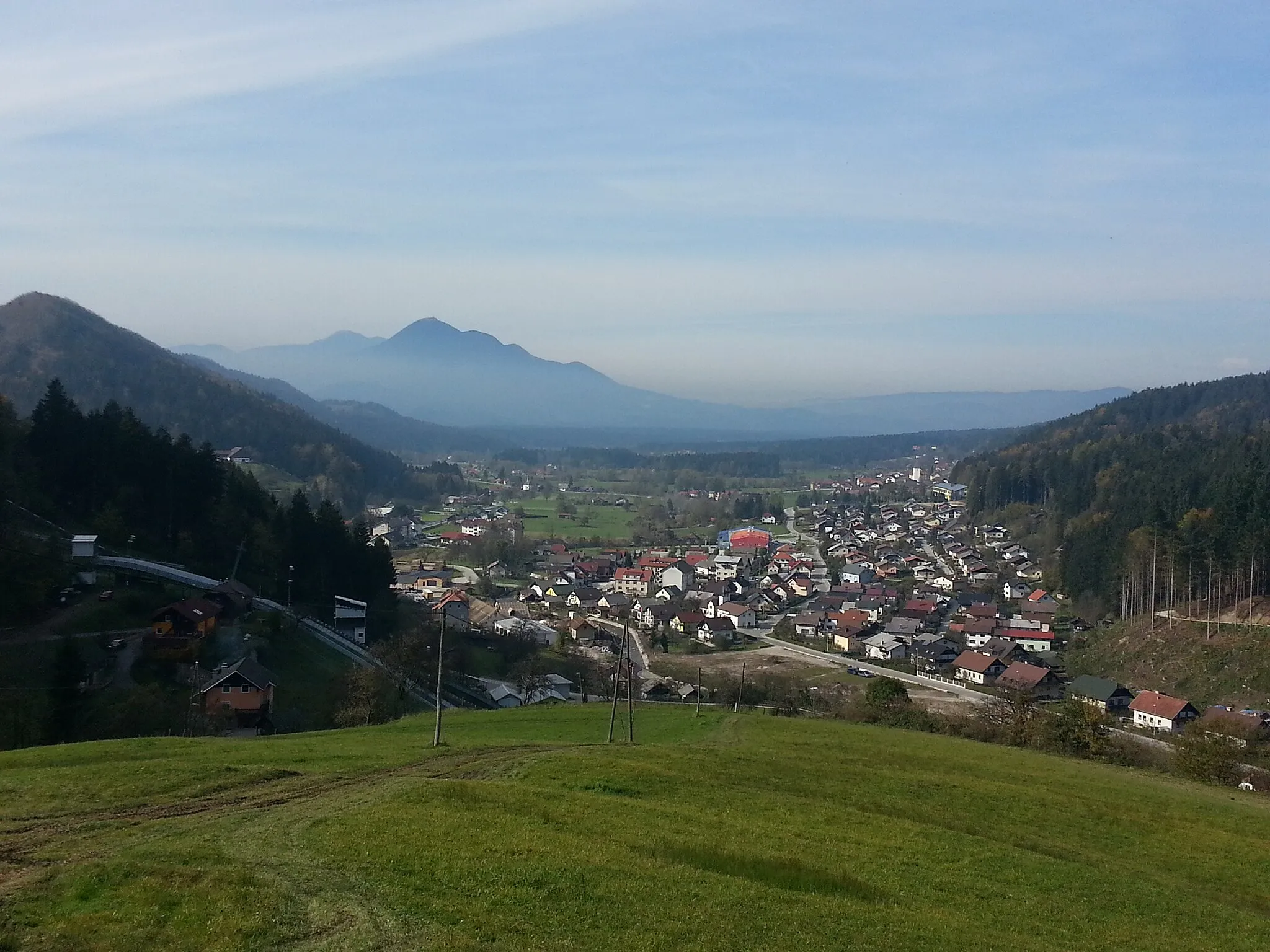
ŠoštanjTownExplore Šoštanj, a charming town surrounded by forests and home to the magnificent Šoštanj Castle.
21 km
21 km
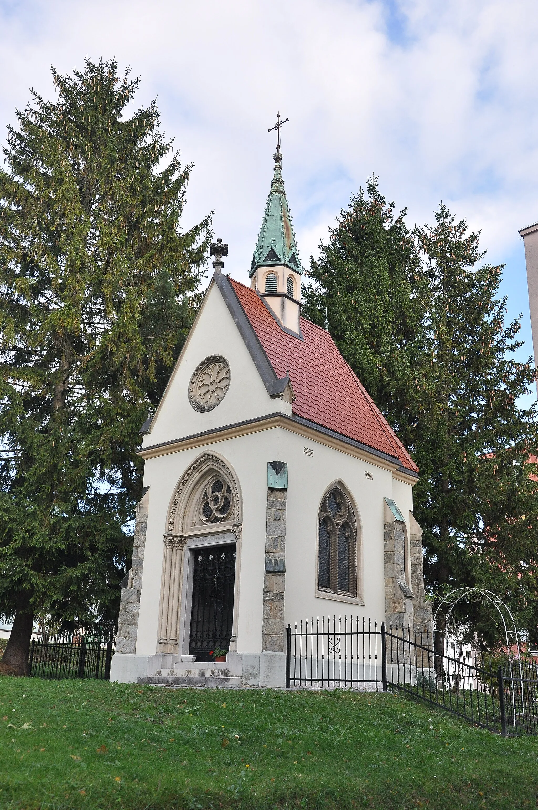
Tičnica604 mPeakTake a break at Tičnica, a peaceful hamlet surrounded by dense forests and home to a beautiful chapel.
30 km
30 km
VodrižVillageVisit Vodriž, a picturesque village with charming traditional houses and scenic countryside views.
38 km
38 km
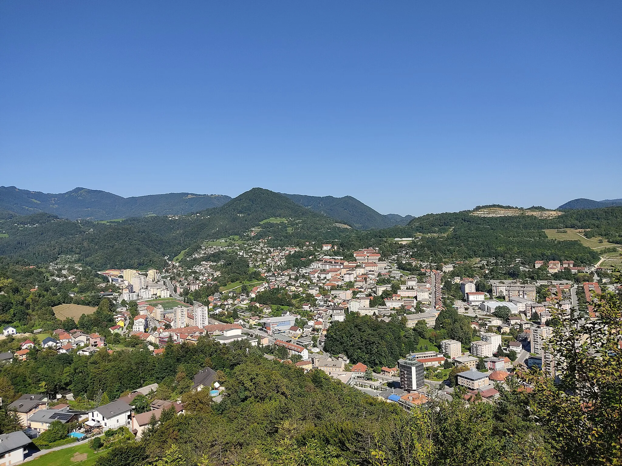
MislinjaVillageExplore Mislinja, rich in history and culture, known for its well-preserved medieval center.
46 km
46 km
Stropnik868 mPeak56 km
56 km
Kovačev hrib397 mPeakClimb Kovačev hrib, a scenic hill offering breathtaking views of the surrounding forested landscapes.
62 km
62 km
PolzelaVillageStart and end your journey in Polzela, a idyllic town located in the Savinja Valley, known for its long cycling traditions.
64 km
64 km
Finish: Podvin pri Polzeli Village centerPolzela: Idyllic countryside for peaceful road and gravel cycling in Slovenia.
Cycling routes nearby: