Cycling oasis with diverse routes in Žalec, Slovenia
Cycling routes from Zalec
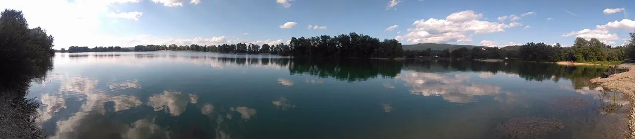
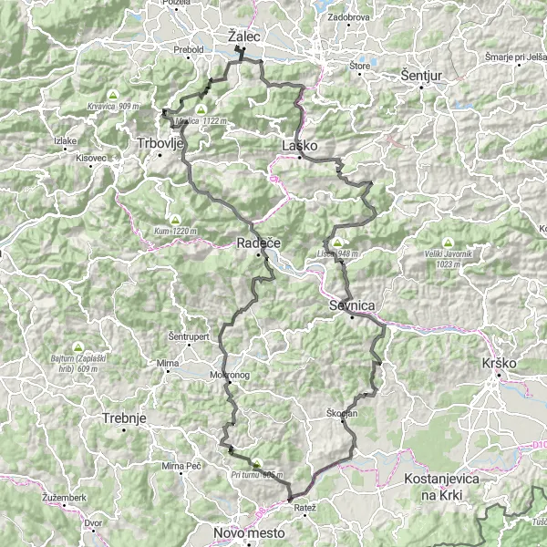
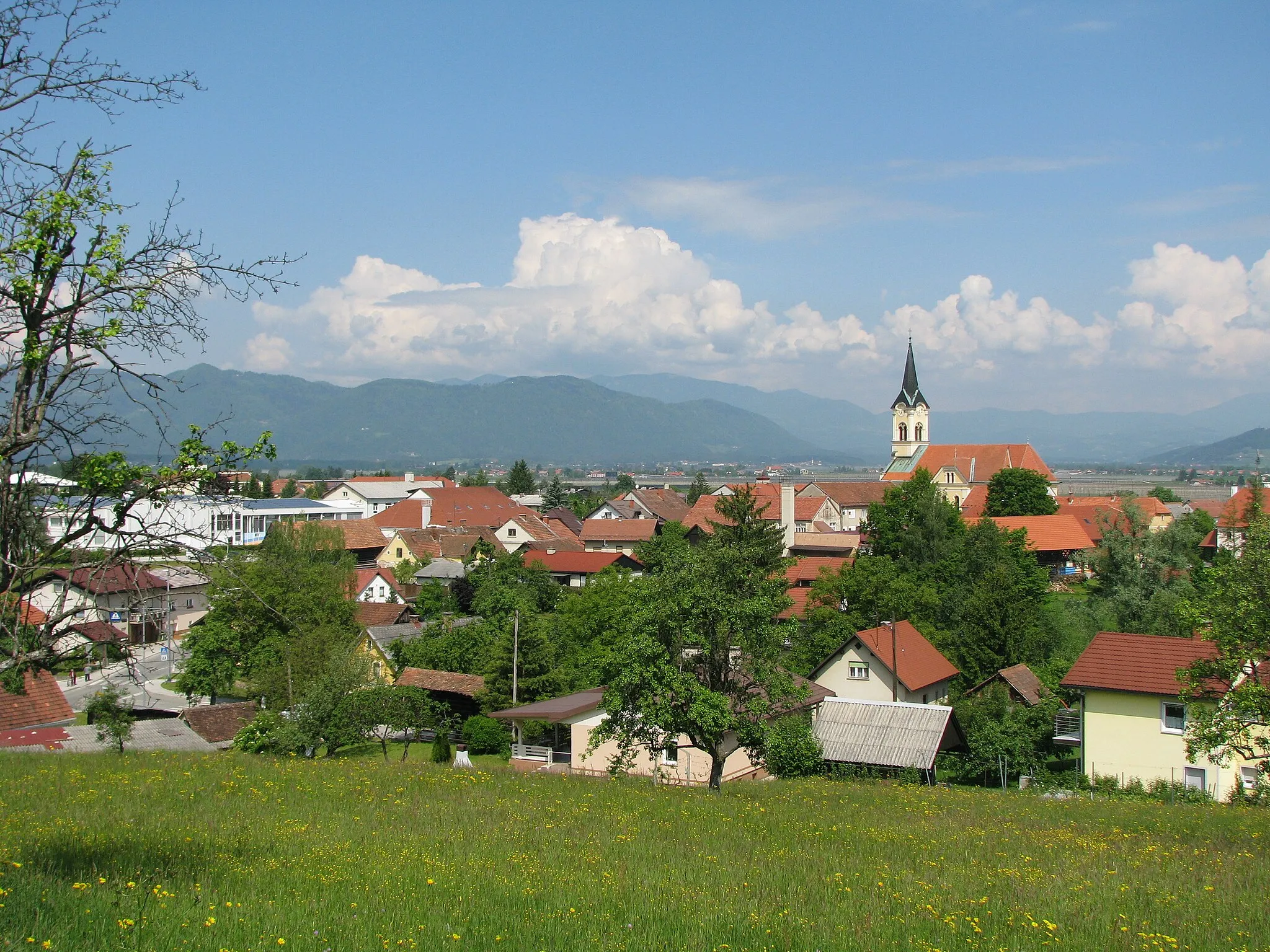
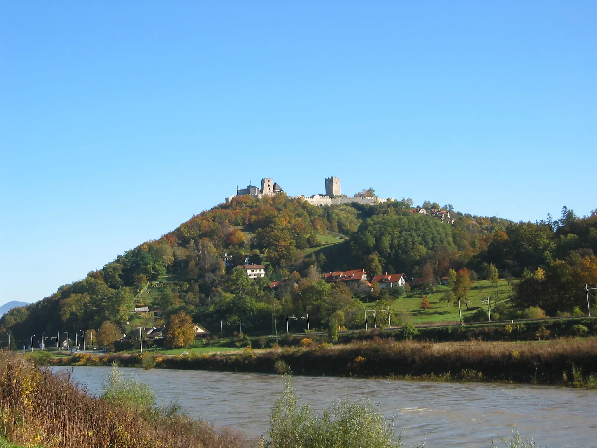
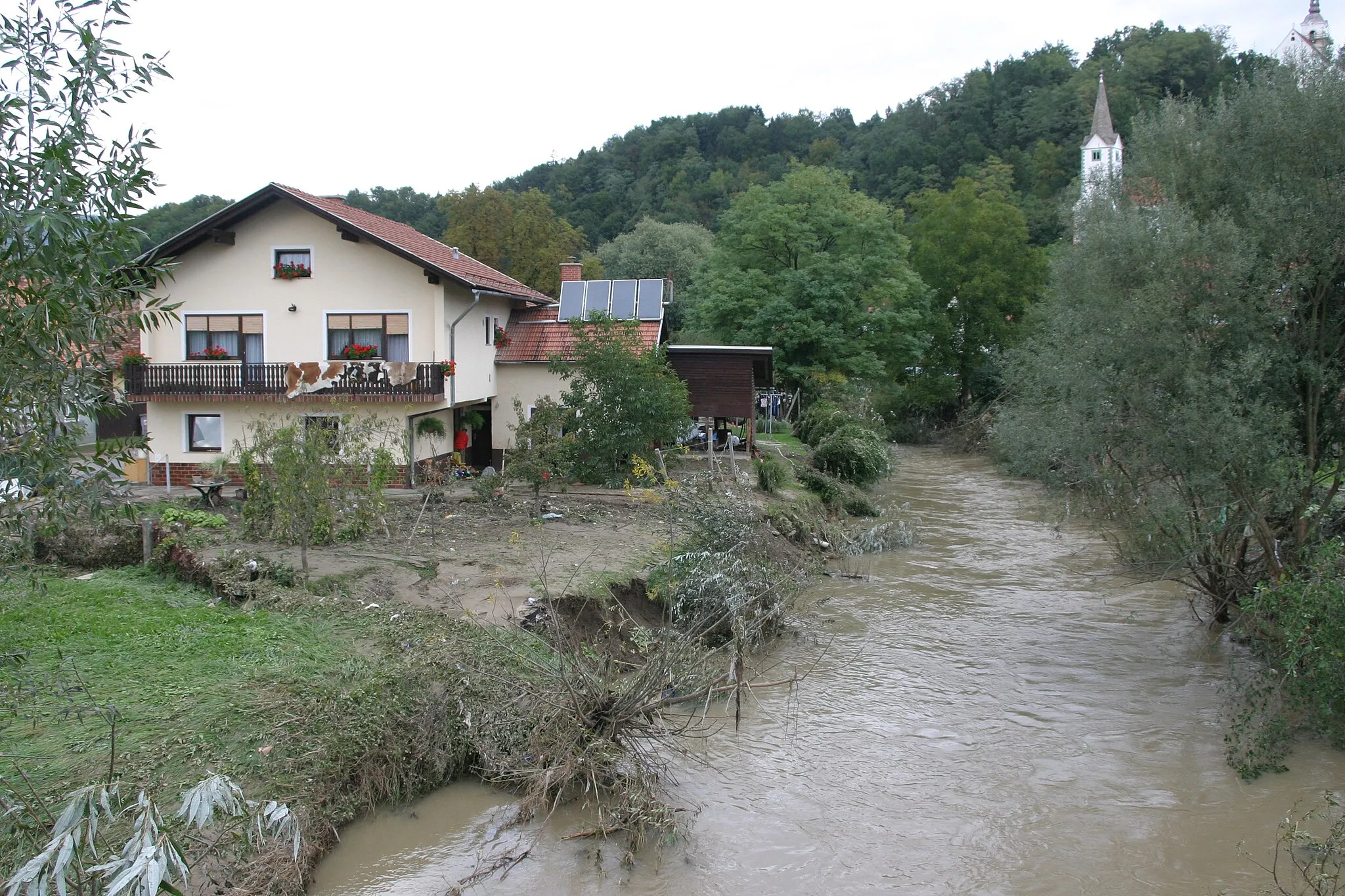
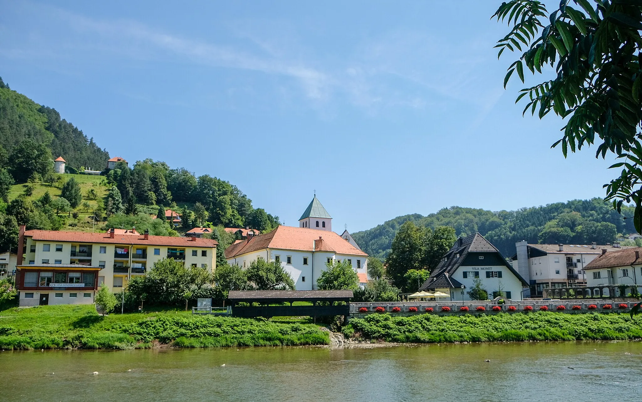
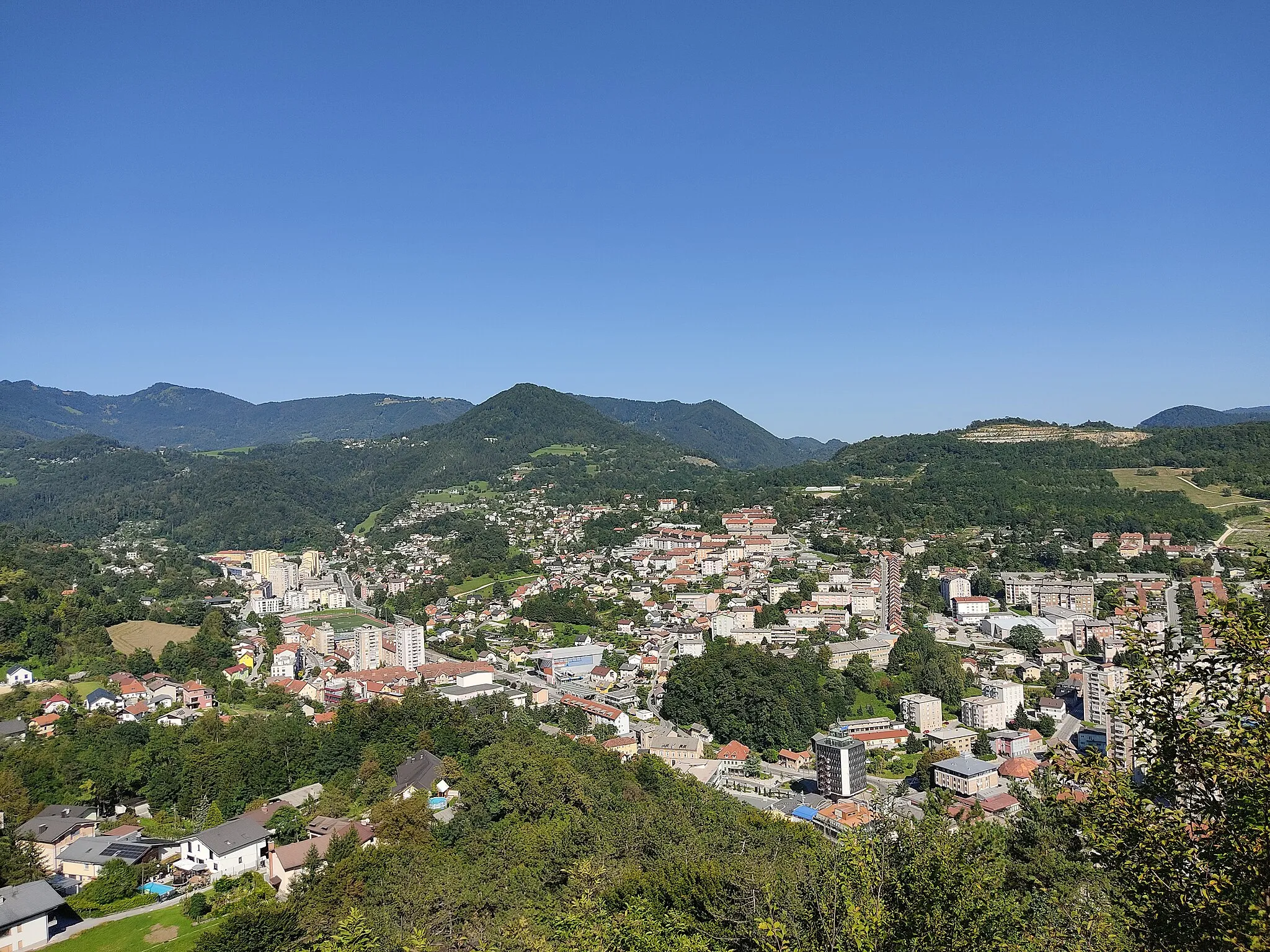
Žalec, situated in Vzhodna Slovenija region of Slovenia, is a gem for cycling enthusiasts. This locality offers diverse cycling routes, ranging from challenging mountain ascents to leisurely rides through vineyards and countryside. The well-signposted cycling paths and low traffic make it an ideal destination for road and gravel cycling. Žalec is famous for its nearby Celjska Koča, a popular destination for mountain bikers featuring thrilling descents and technical single tracks. Cyclists visiting Žalec can also enjoy the stunning views of the Savinja River and explore the rich cultural heritage of the region.
The Straža Challenge
Embark on a challenging road cycling adventure to Straža.
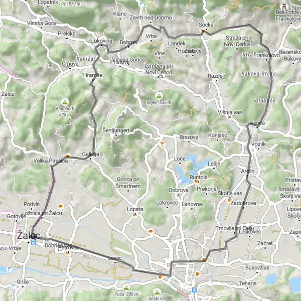
The Straža Challenge is a road cycling route that will test your endurance and climbing skills. With a distance of 47 km and an ascent of 583 m, this route is suitable for experienced cyclists looking for a challenging ride. Highlights of the route include the scenic village of Gorica, the historic town of Dobrna, and the picturesque village of Straža. This route offers breathtaking views of the Slovenian countryside and is a must-do for avid cyclists.
Embark on a thrilling gravel adventure near Žalec.
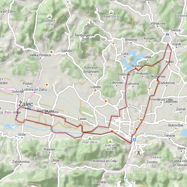
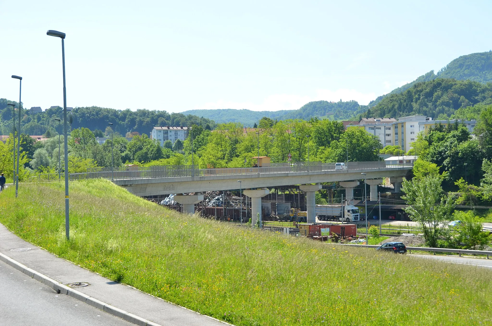
Experience the thrill of off-road cycling with this gravel adventure route near Žalec. Covering a distance of 38 km and an ascent of 223 m, this route offers a challenging and exhilarating ride. Highlights along the way include the scenic village of Lahovna and the beautiful city of Celje, known for its rich history and charming architecture. Suitable for experienced gravel cyclists, this route provides an opportunity to explore the diverse natural landscapes of Slovenia.
The Gorica Loop

Experience the scenic beauty of the Gorica region.
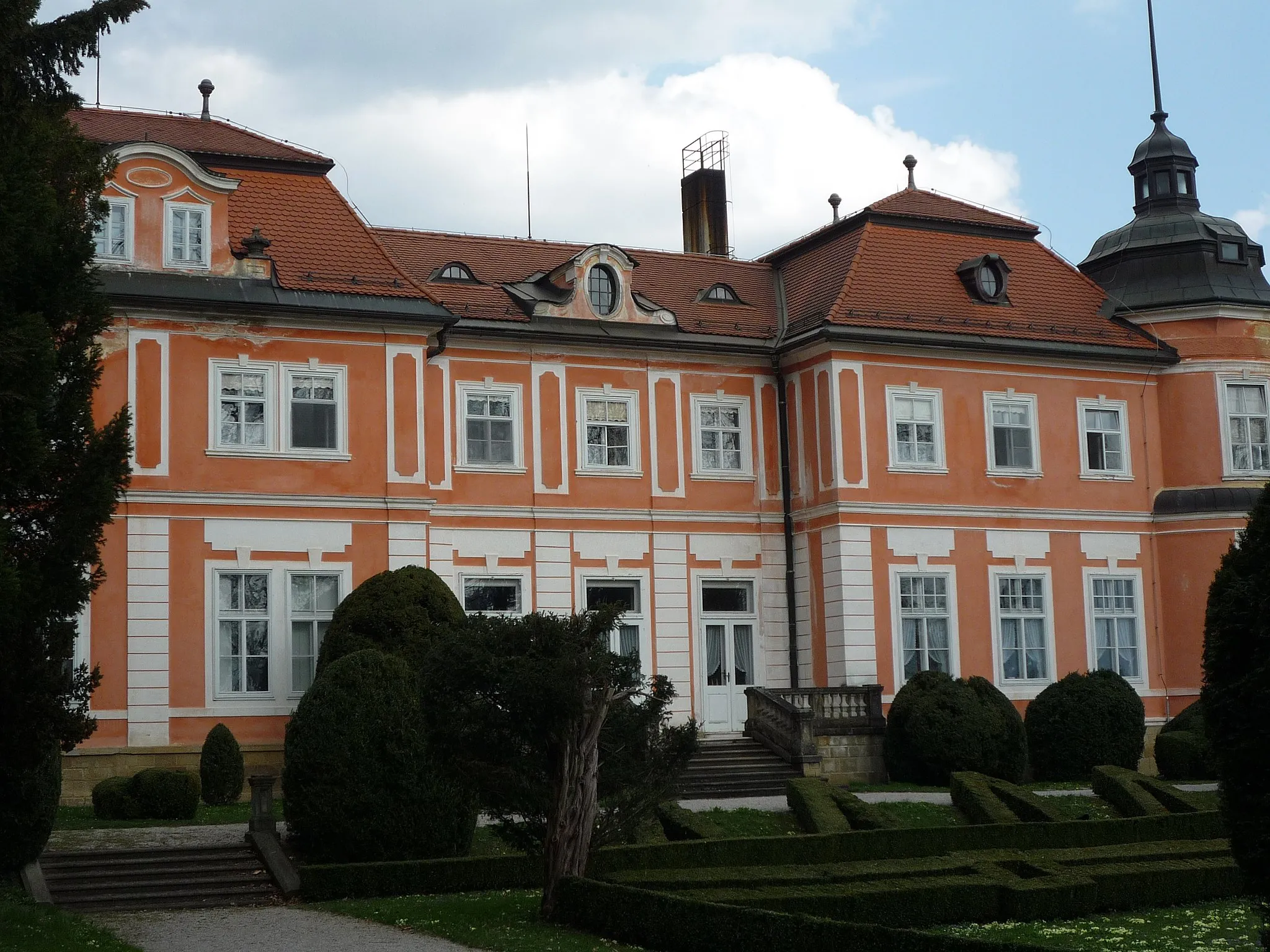
The Gorica Loop is a road cycling route that takes you through the picturesque landscapes of the Gorica region. With a total distance of 101 km and an ascent of 1475 m, this route offers a challenging yet rewarding experience for riders. Throughout the journey, you'll encounter several highlights, including the historic town of Celje and the charming village of Dobrna. The route is suitable for experienced cyclists who enjoy climbing and appreciate the beauty of the Slovenian countryside.
Enjoy a scenic loop ride through the charming landscapes of Gorica in eastern Slovenia
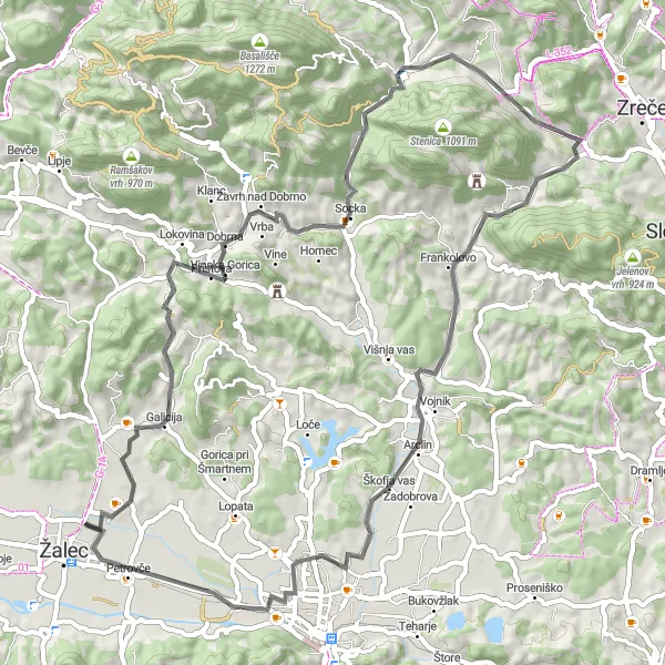
Take in the beauty of Gorica as you embark on a picturesque 60-kilometer road ride. With an ascent of 820 meters, this route will lead you through Gorica, Dobrna, Vitanje, Hrastje, Kamni vrh, Zadobrova, Puša, and Petrovče. Experience the tranquility of the Slovenian countryside and soak in the breathtaking views from the top of the hills.
Embark on a gravel adventure across the scenic landscapes of eastern Slovenia
This exciting gravel route covers a total distance of 100 kilometers with an ascent of 1300 meters, taking you through Žalec, Gradišče (Lurd), Vransko, Rigelj, Kozjak, Laze v Tuhinju, Bela Peč, Kreda, Dobrova, Rečica ob Savinji, and Šempeter v Savinjski dolini. Enjoy the thrill of off-road cycling as you make your way through rugged terrain and immerse yourself in the natural beauty of the region.
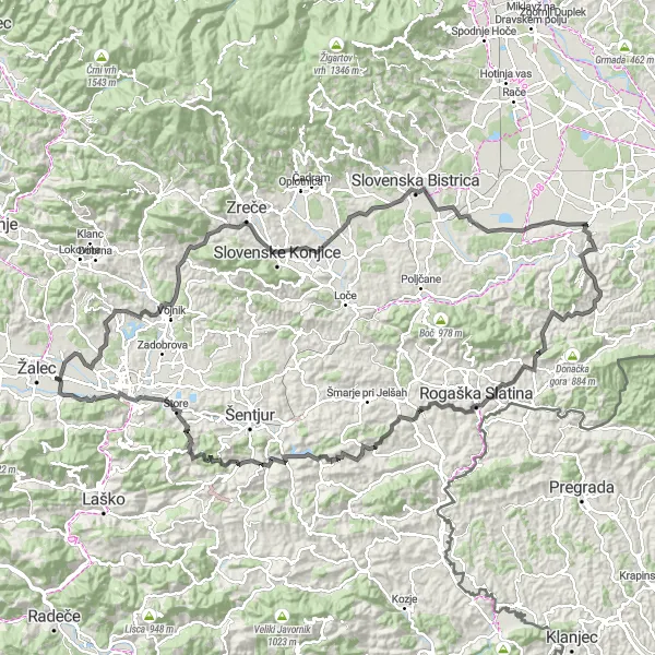
Conquer the hills of eastern Slovenia in this challenging cycling route
Embark on a thrilling journey through the hilly landscapes of eastern Slovenia with this 144-kilometer road cycling route. With a total ascent of 2359 meters, you will pass through Očnjak, Vojnik, Hrastje, Public park, Slovenska Bistrica, Sestrže, Krapina, Presek, Kristan Vrh, Rakita, Čiče, Teharje, and Puša. Experience the thrill of conquering steep climbs and enjoy the picturesque views that await you at the top.
The Šmatevž Adventure
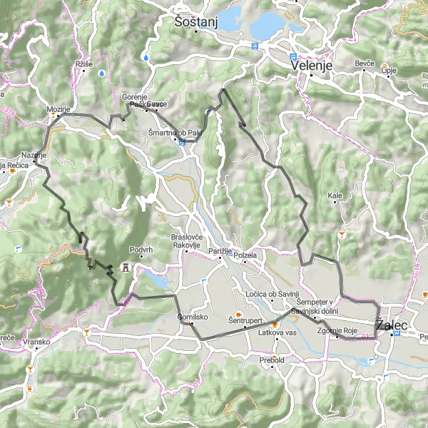
Embark on a thrilling cycling adventure through Šmatevž.
The Šmatevž Adventure is a road cycling route that offers a mix of challenging climbs and scenic landscapes. Covering a distance of 63 km and an ascent of 1230 m, this route is suitable for intermediate to advanced cyclists. Highlights along the way include the historic town of Žalec, the scenic village of Šmatevž, and the picturesque town of Šmartno ob Paki. This route provides an opportunity to explore the diverse landscapes of Slovenia and enjoy the natural beauty of the region.
Slovenian Hütel Road Ride
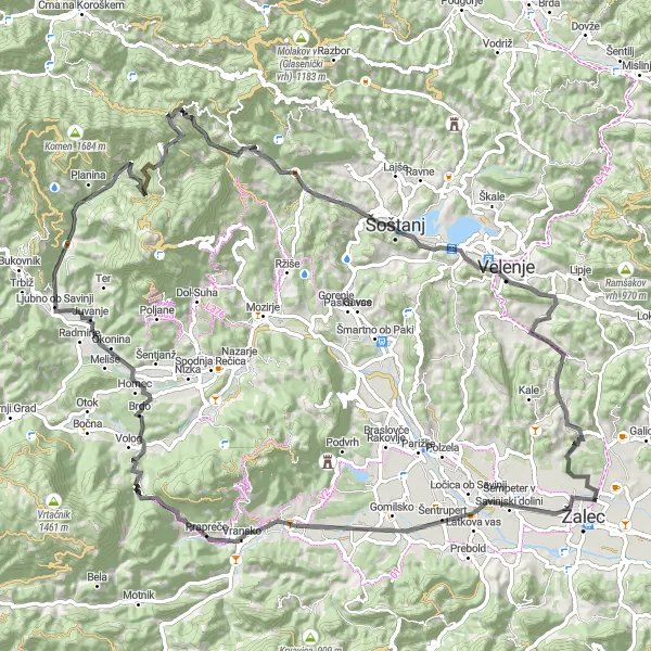
A challenging road ride through the picturesque hills of eastern Slovenia
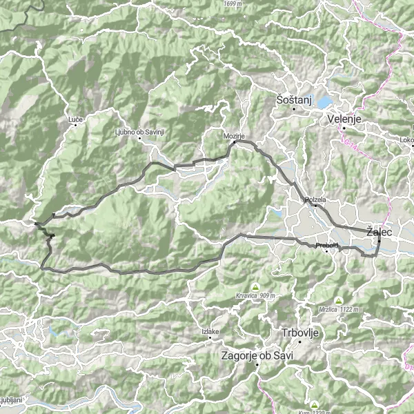
Explore the beautiful countryside of eastern Slovenia on this challenging road ride. With a total ascent of 2244 meters and a distance of 96 kilometers, this route will take you through Žalec, Vransko, Medvedica, Šmartno ob Dreti, Tiber, Črni vrh, Grad, Velenje, Ponikva pri Žalcu, and Veliki hrib. Feel the adrenaline pumping in your veins as you conquer steep ascents and enjoy the breathtaking views along the way.
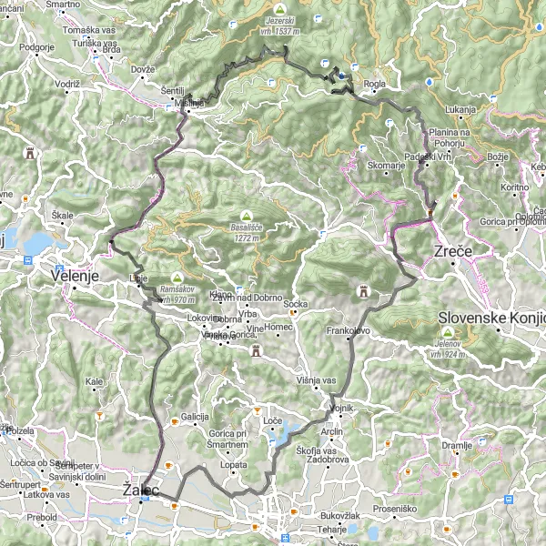
Embark on an epic climbing challenge near Žalec.
If you're up for a true cycling challenge, look no further than the Ultimate Climbing Challenge. With a distance of 100 km and an impressive ascent of 2652 m, this route is not for the faint-hearted. Highlights along the way include the historic town of Žalec, the picturesque village of Jesenik, and the famous ski resort of Rogla. This route offers stunning views of the Slovenian Alps and is a must-do for experienced climbers and adventurous cyclists.
An epic gravel expedition through the mountains and valleys of eastern Slovenia
Embark on an epic 165-kilometer gravel expedition through the stunning landscapes of eastern Slovenia. With a challenging ascent of 3850 meters, this route will lead you through Košnica pri Celju, Vipota, Handel, Dolenji Boštanj, Bučka, Peščenik, Otočec, Štrekelj, Štuk, Mokronog, Zidani Most, Pešnik, Boben, Krošnja, and Kamnik. Prepare to be awed by the magnificent beauty of the mountains and valleys along the way.
Cycling routes nearby:
Nearby regions: