The Straža Challenge
A road cycling route starting from Zalec
Embark on a challenging road cycling adventure to Straža.
Map
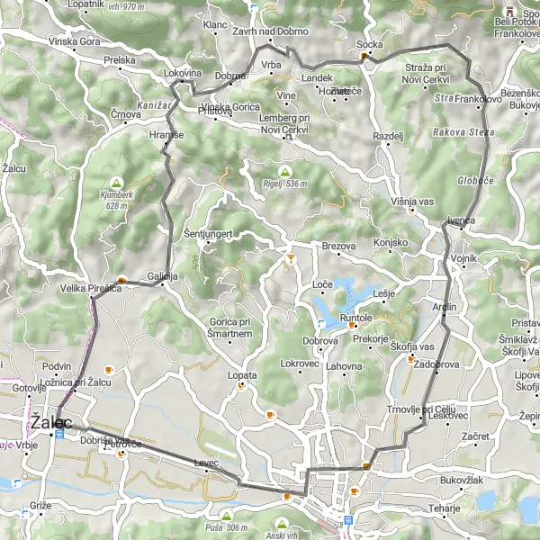
The Straža Challenge is a road cycling route that will test your endurance and climbing skills. With a distance of 47 km and an ascent of 583 m, this route is suitable for experienced cyclists looking for a challenging ride. Highlights of the route include the scenic village of Gorica, the historic town of Dobrna, and the picturesque village of Straža. This route offers breathtaking views of the Slovenian countryside and is a must-do for avid cyclists.
road
47 km
583 m
Tough
Route profile
Highlights on the route
0 km
0 km
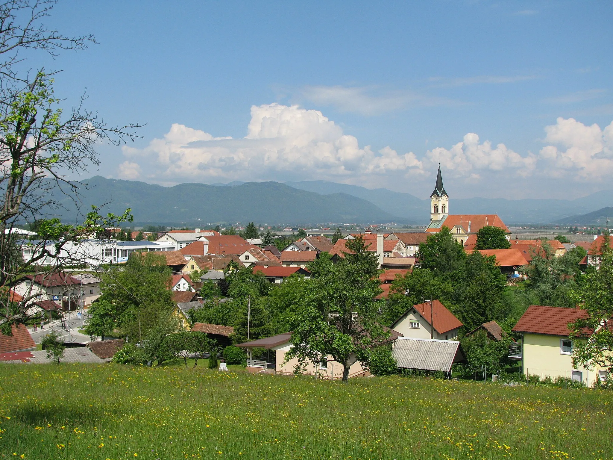
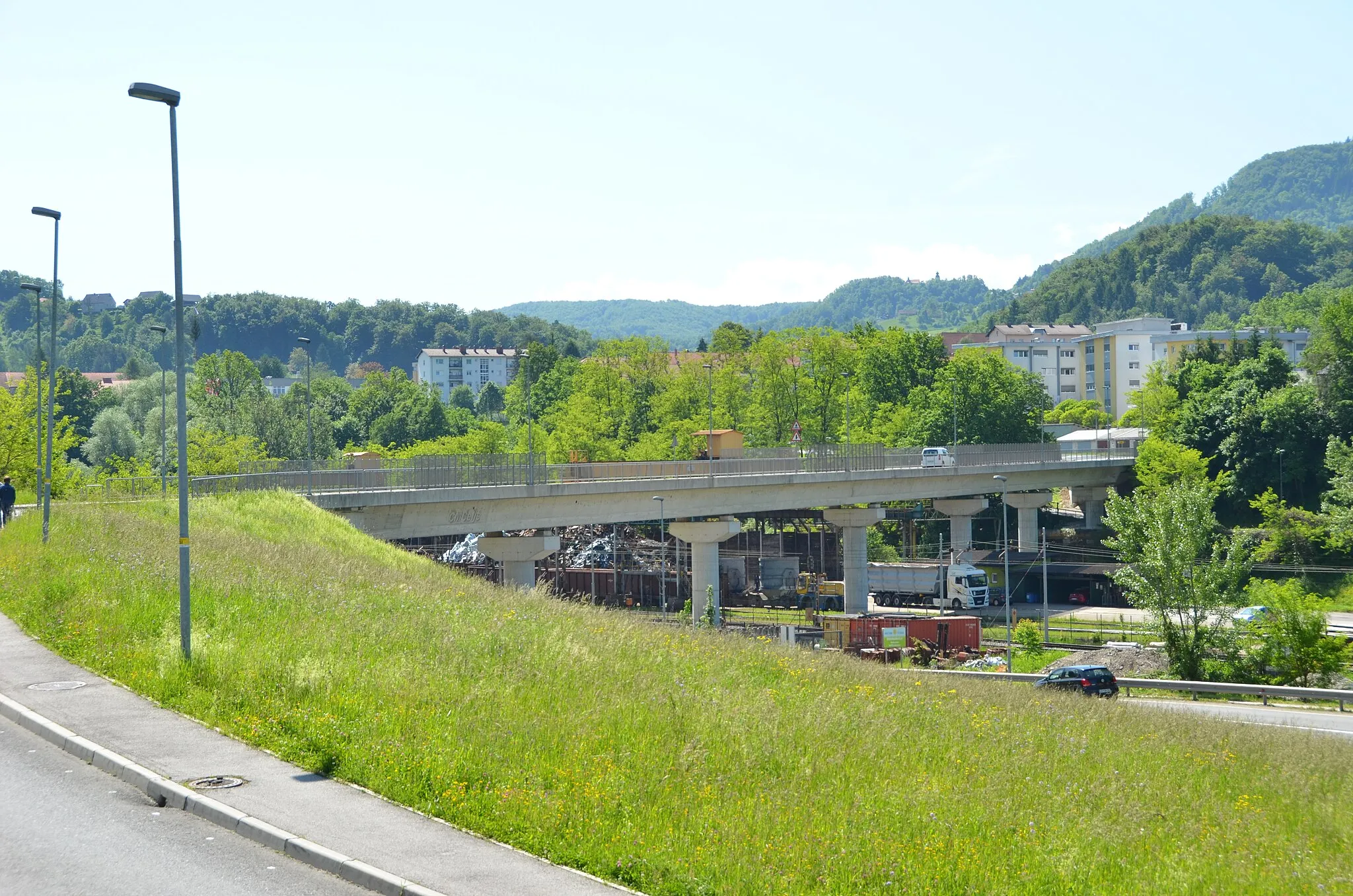
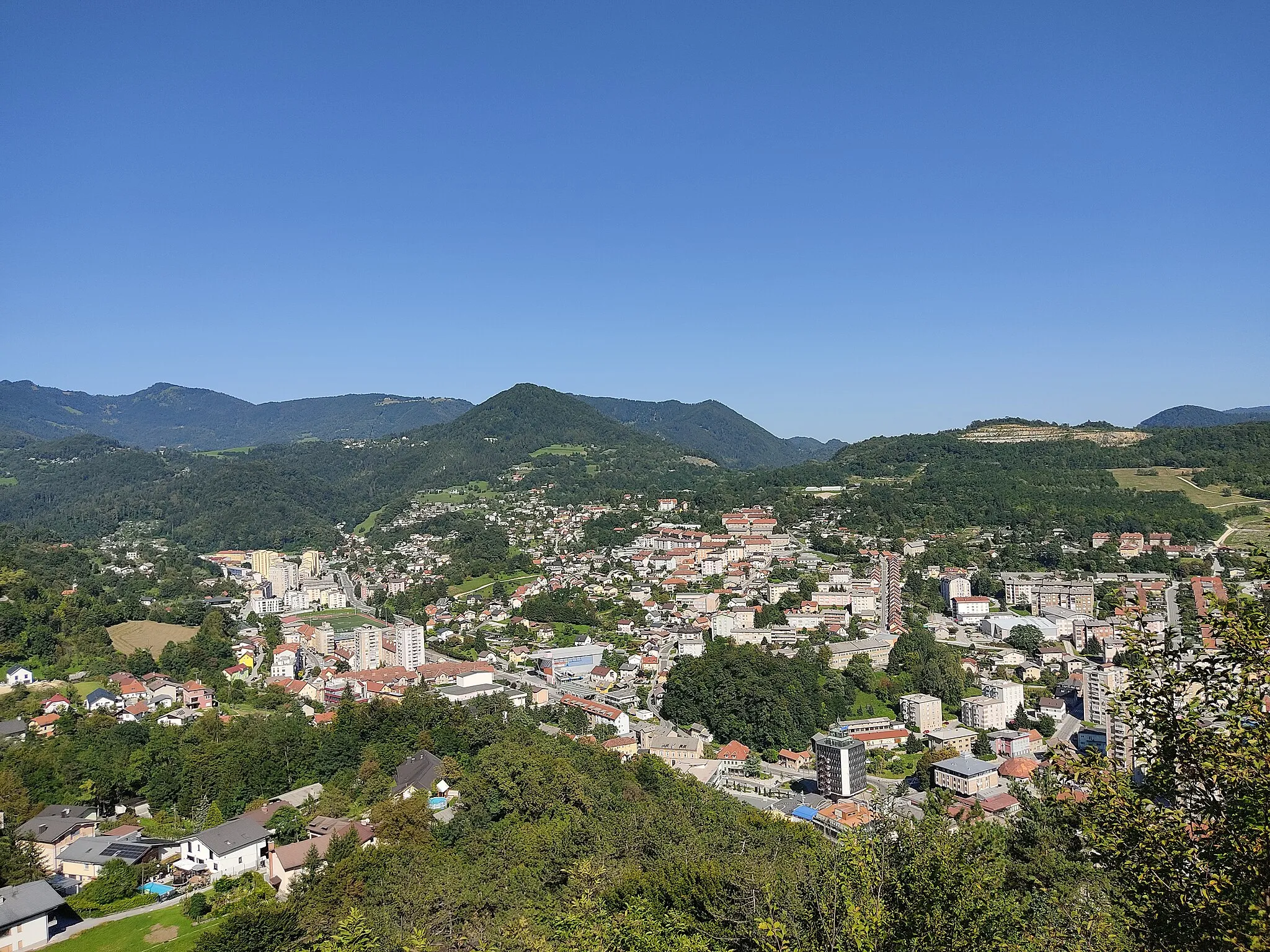
Start: Žalec City centerŽalec: Cycling oasis with diverse routes in Žalec, Slovenia
Žalec, situated in Vzhodna Slovenija region of Slovenia, is a gem for cycling enthusiasts. This locality offers diverse cycling routes, ranging from challenging mountain ascents to leisurely rides through vineyards and countryside. The well-signposted cycling paths and low traffic make it an ideal destination for road and gravel cycling. Žalec is famous for its nearby Celjska Koča, a popular destination for mountain bikers featuring thrilling descents and technical single tracks. Cyclists visiting Žalec can also enjoy the stunning views of the Savinja River and explore the rich cultural heritage of the region.5 km
5 km
Gorica356 mPeakDiscover the beauty of Gorica and its surrounding landscapes.
15 km
15 km
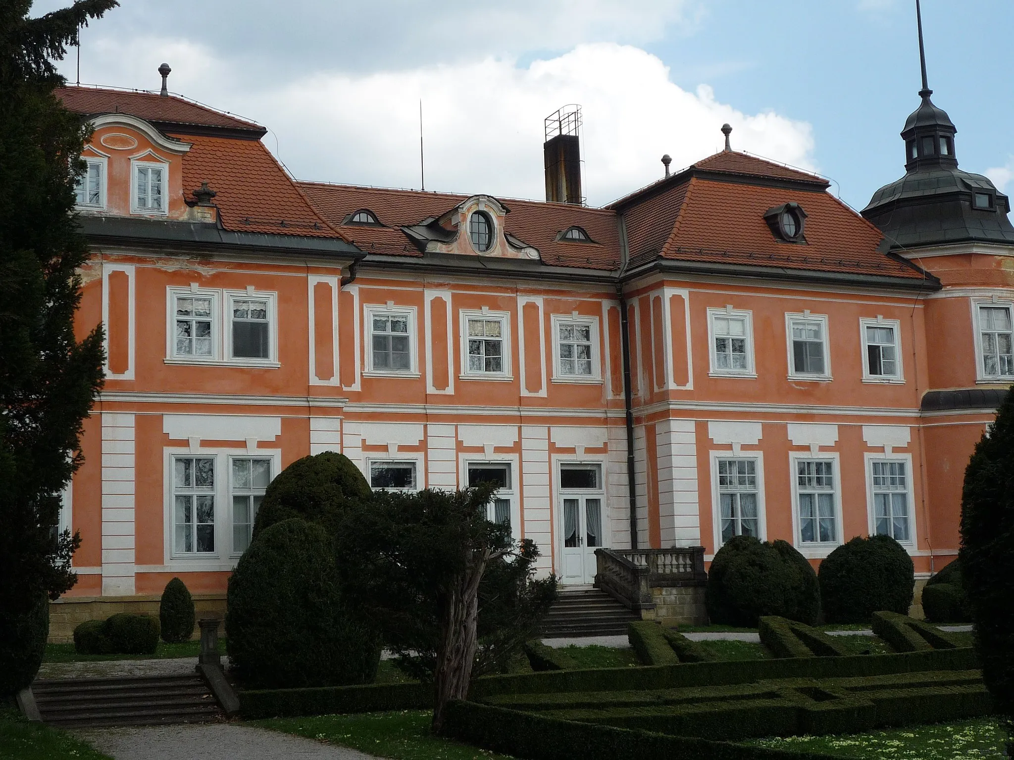
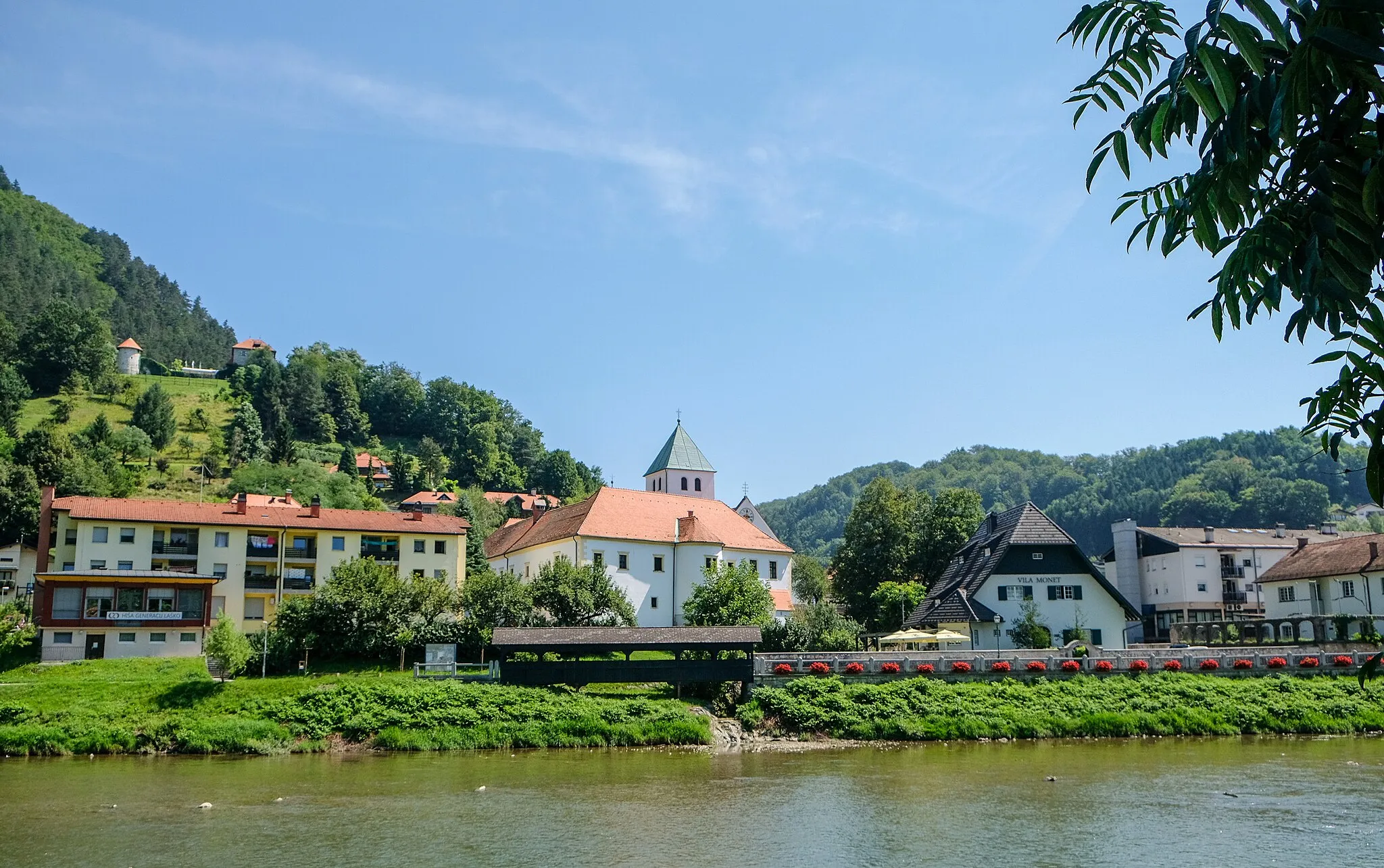
DobrnaVillageExplore the historic town of Dobrna and its famous spa resort.
22 km
22 km
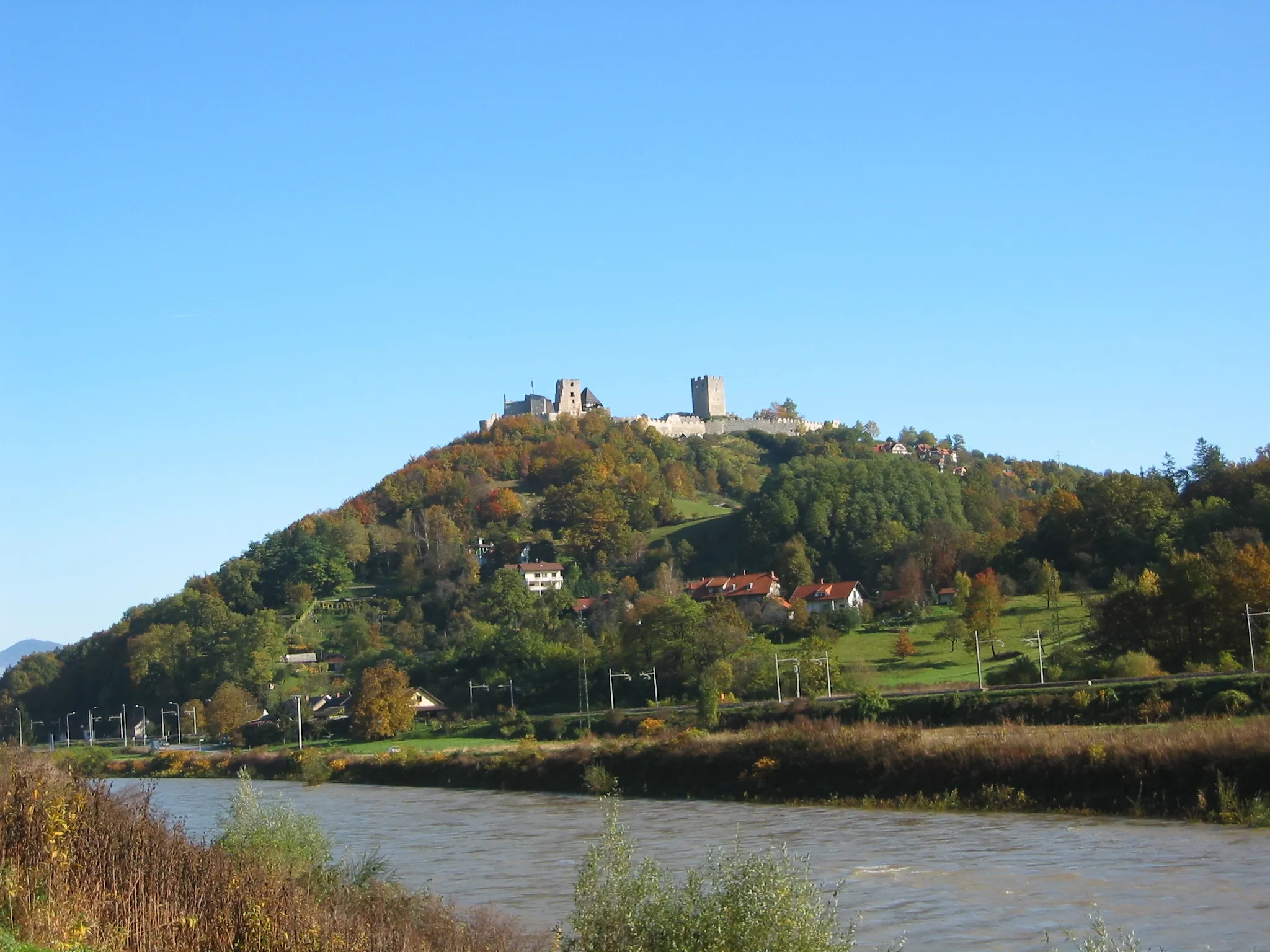
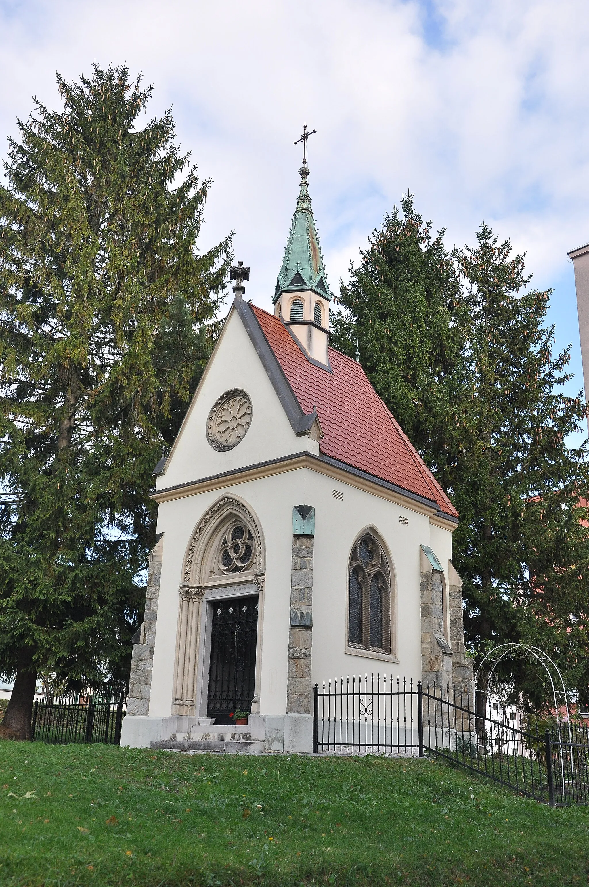
Straža566 mPeakPass through the charming village of Straža with its beautiful architecture.
39 km
39 km
CeljeCityVisit the historic city of Celje and immerse yourself in its rich history.
41 km
41 km
Puša306 mPeakTake a break in Puša and enjoy the tranquility of the area.
47 km
47 km
Zotlova kovačijaAttractionExperience the scenic beauty of Zotlova kovačija.
47 km
47 km
Finish: Žalec City centerŽalec: Cycling oasis with diverse routes in Žalec, Slovenia
Cycling routes nearby: