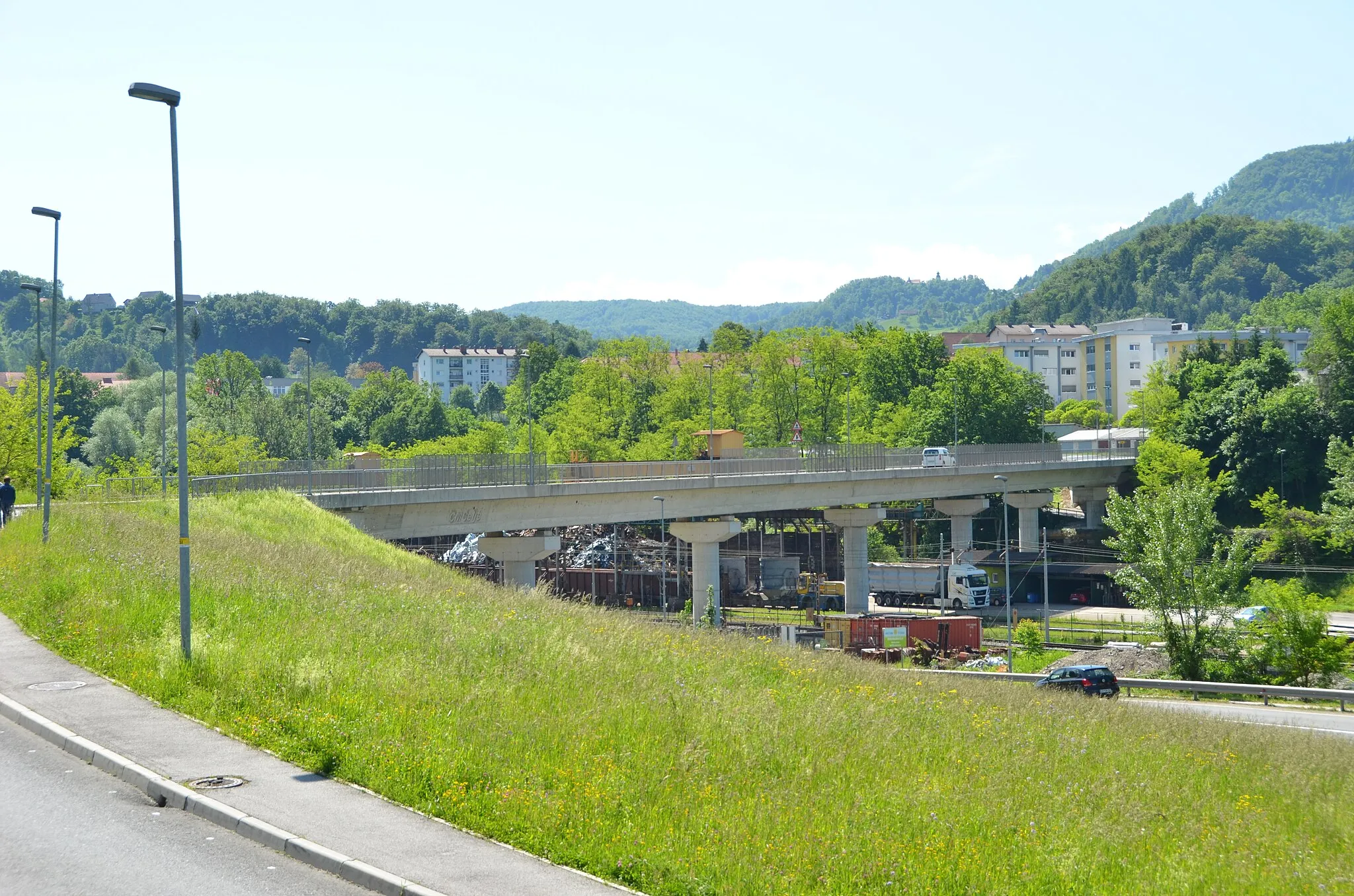
Explore the beautiful cycling terrain of Štore in Slovenia's Vzhodna Slovenija region.
Cycling routes from Store
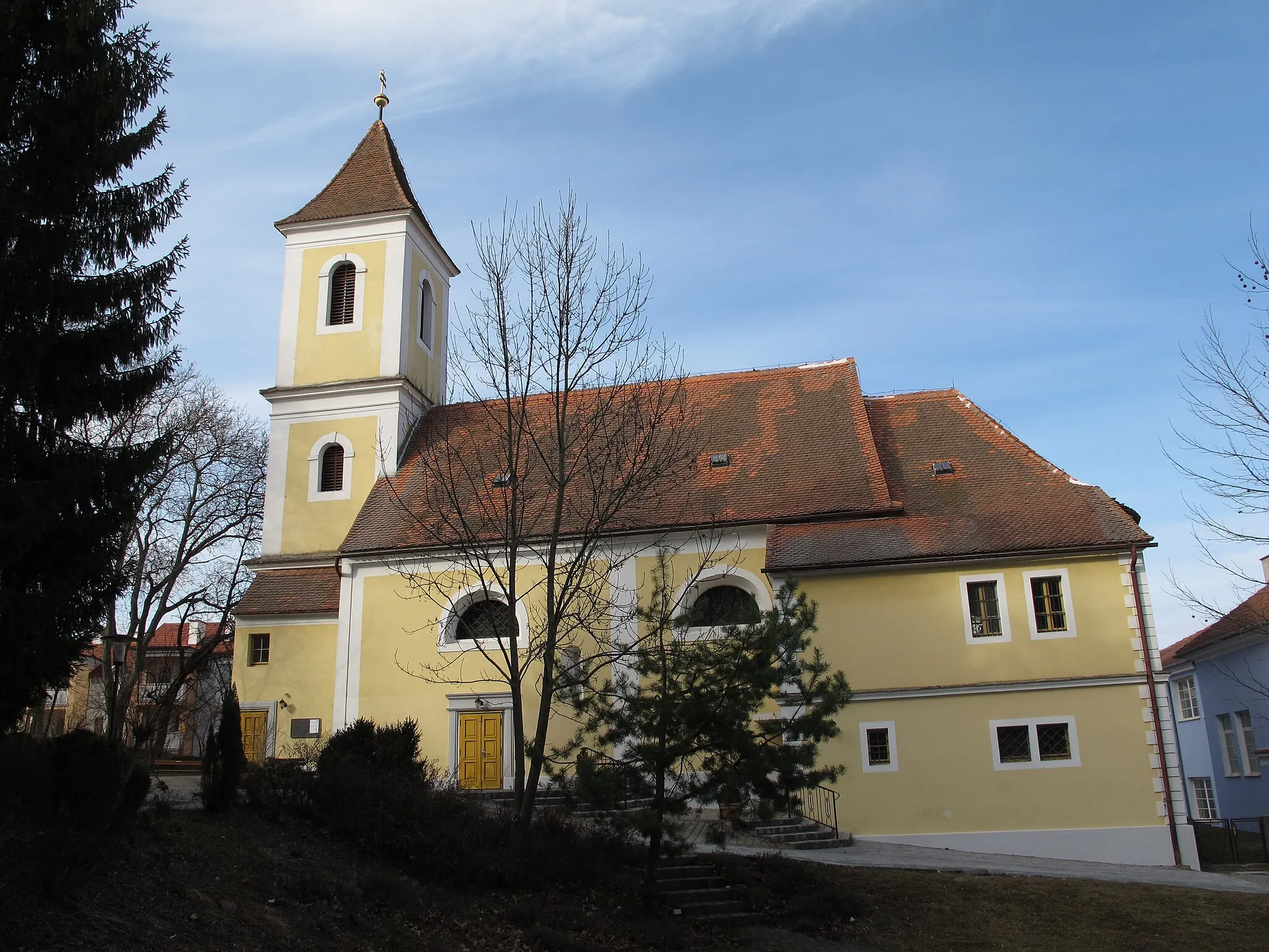
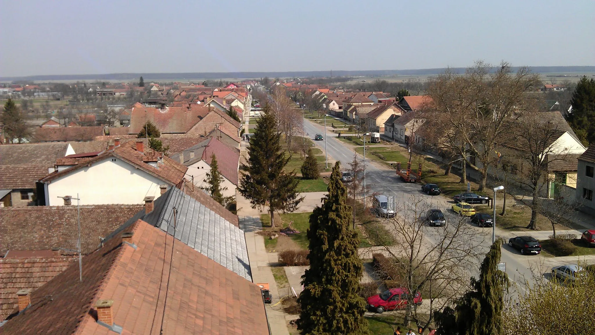
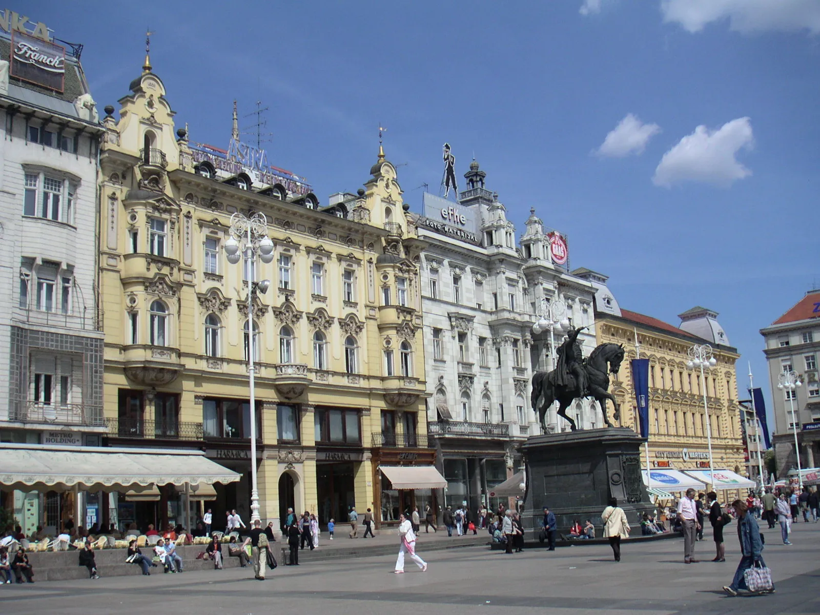
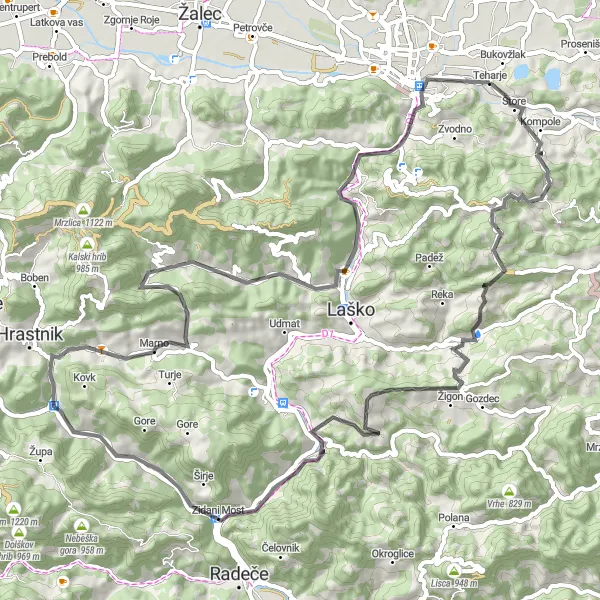
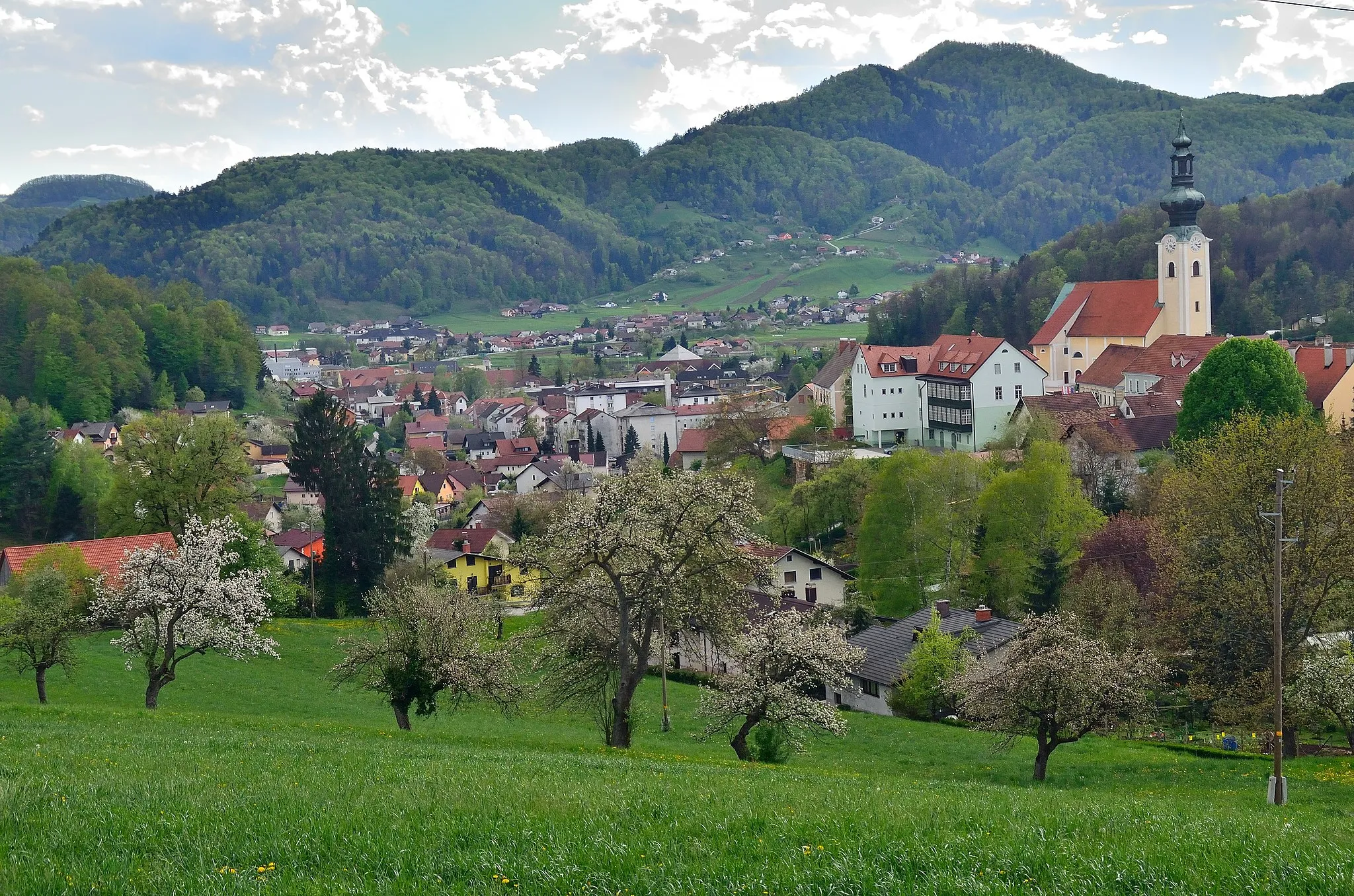
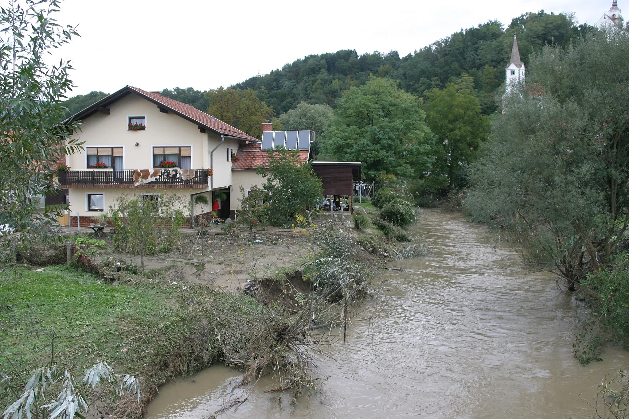
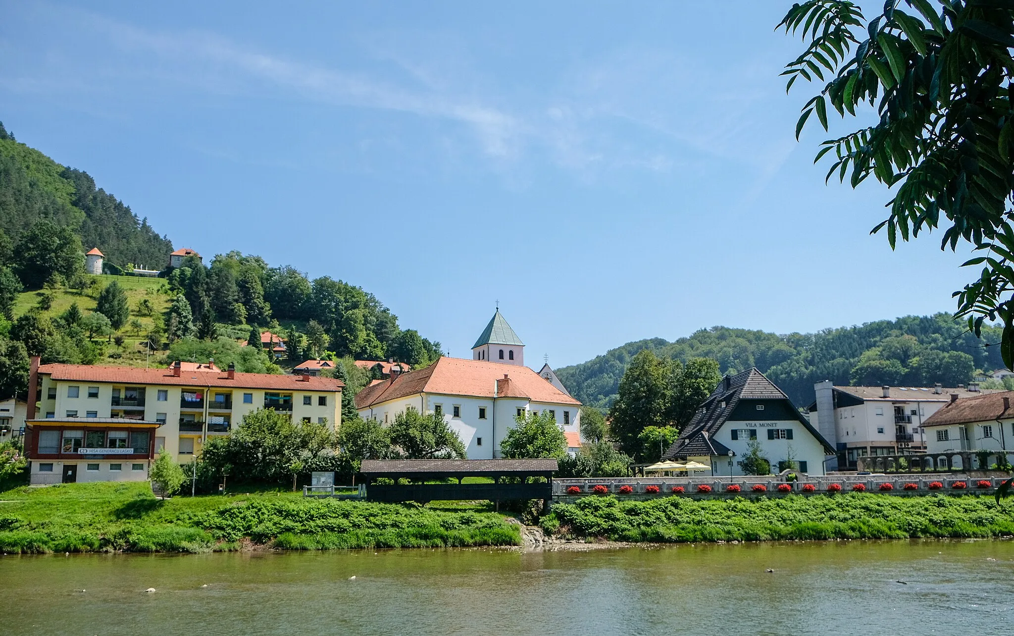
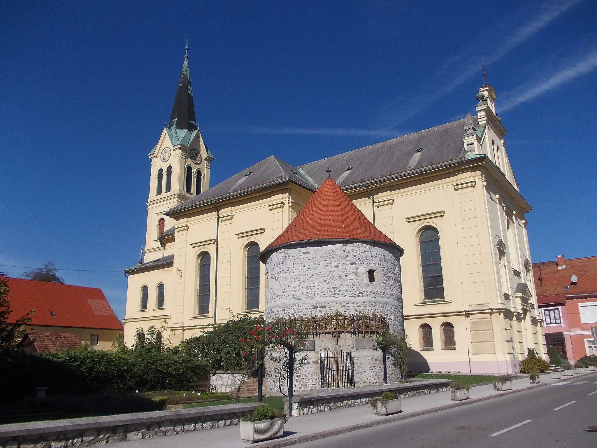
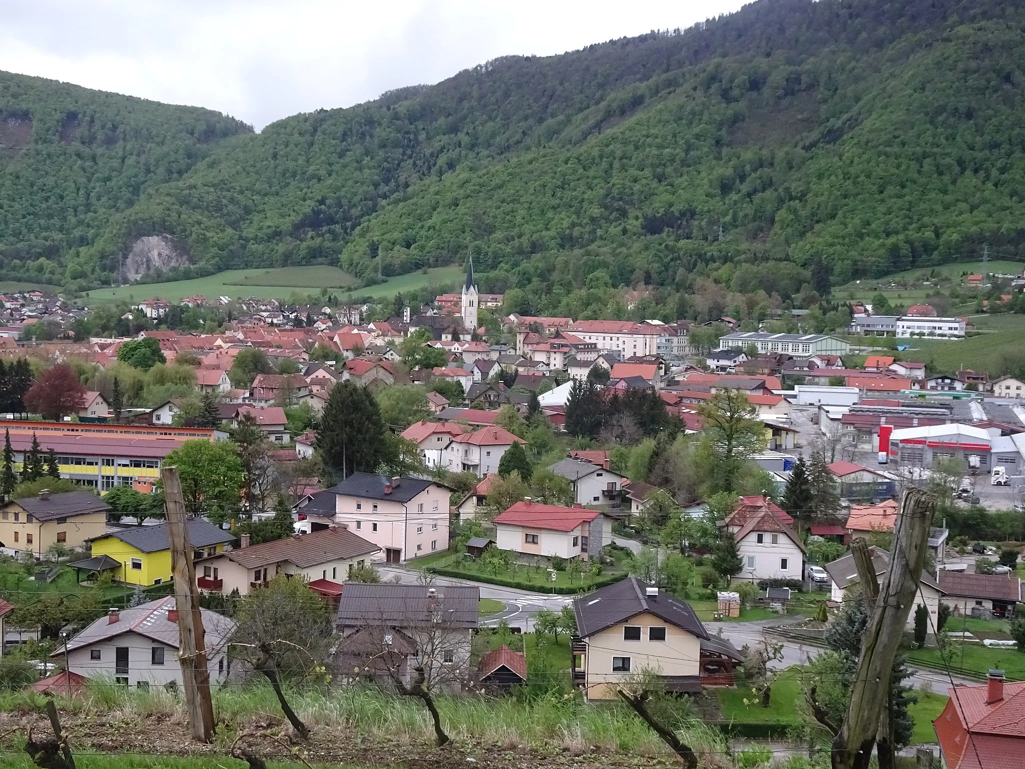
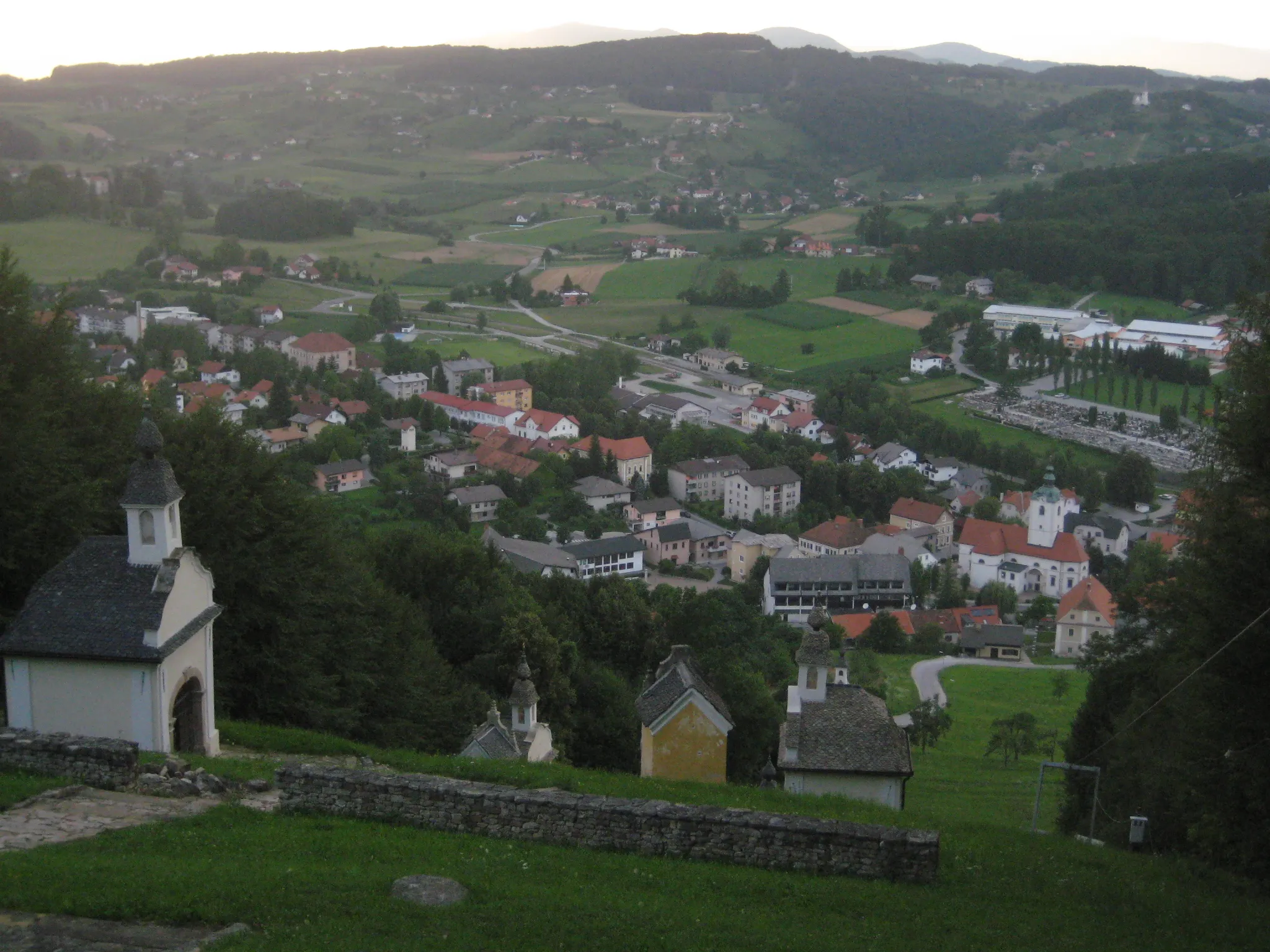
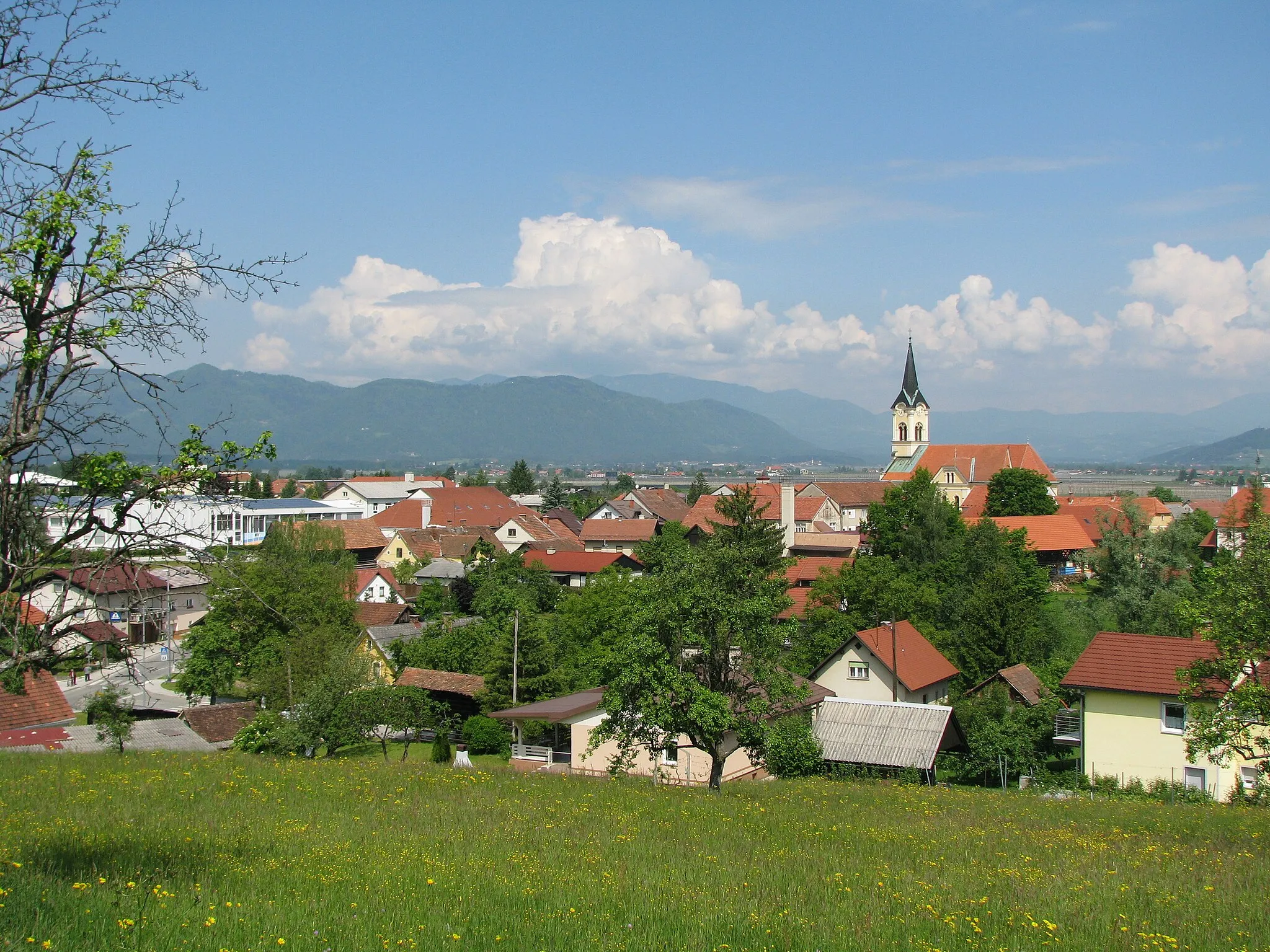
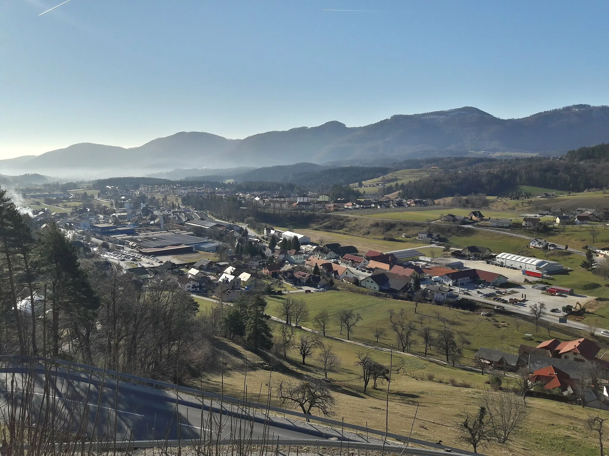
Štore, situated in Vzhodna Slovenija, Slovenia, offers a diverse landscape for road and gravel cyclists. The locality provides a mix of challenging climbs and rolling hills, ideal for those looking to test their endurance. Štore is positioned near the iconic climb of Ljubelj, which boasts stunning views and a demanding ascent. Cycling enthusiasts can also explore the scenic routes in the nearby vineyards and discover the charm of Slovenian countryside. With its cycling-friendly roads and captivating scenery, Štore is a hidden gem for cyclists of all levels.
The Puša Adventure
Embark on an adventurous journey through the scenic landscapes of Puša.
The Puša Adventure is an exciting cycling route that takes you through some of the most beautiful landscapes in eastern Slovenia. With a total distance of 91 kilometers and an elevation gain of 1266 meters, this route offers a moderate challenge for well-trained amateur cyclists. The highlight of the route is the Puša region, known for its breathtaking natural beauty and charming rural villages.
Embark on a thrilling ride through scenic landscapes and discover the hidden gem of Bukovžlak.
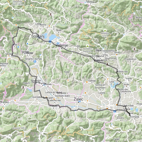
Experience the beauty of Vzhodna Slovenija with this 55-kilometer cycling route starting near Štore. The route features an ascent of 683 meters, making it suitable for moderately trained cyclists. The highlight of the route is the picturesque village of Bukovžlak, nestled amidst rolling hills and lush greenery. Other notable spots along the way include Puša, Šofta, Kicelj, and Lemberg pri Novi Cerkvi. With a difficulty level of 2 and an epicness rating of 2, this route is perfect for cyclists looking for a pleasant ride with scenic views.
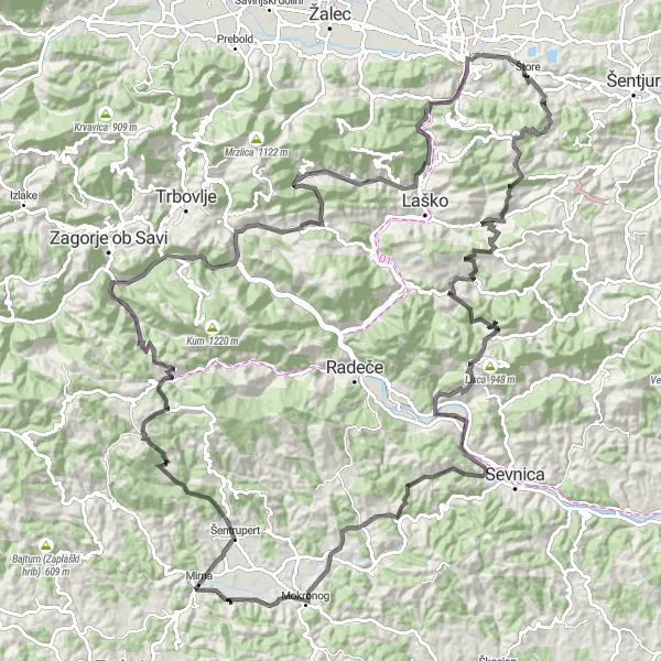
The Žusem Loop
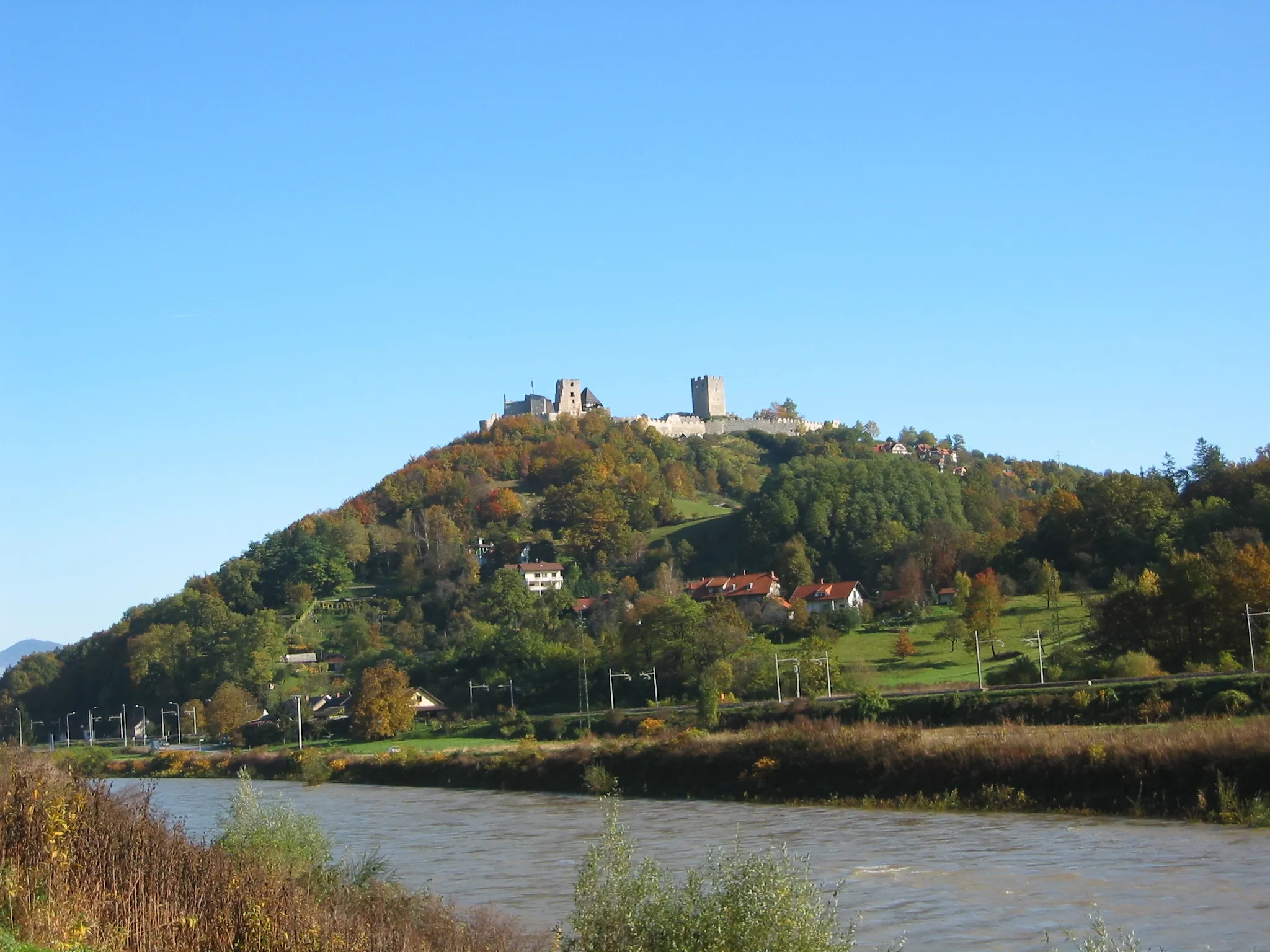
Cycle through the picturesque landscapes of Žusem and conquer the challenging climb to Turn castle.
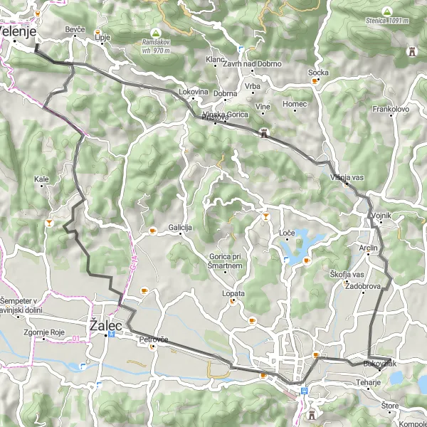
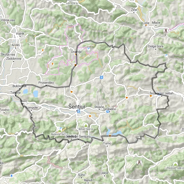
The Žusem Loop is a scenic cycling route that takes you through the beautiful countryside near Štore. With a total distance of 64 kilometers and an elevation gain of 1580 meters, this route offers a challenging but rewarding experience for cyclists. The highlight of the route is the climb to Turn castle, a historic fortress that offers panoramic views of the surrounding area.
Conquer the mountains and take on the thrilling climbs of Razkuže and Kozjak.
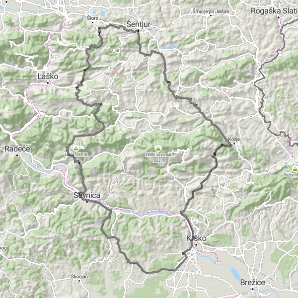
Gear up for an adrenaline-pumping adventure in Vzhodna Slovenija on this 124-kilometer cycling route. With a total ascent of 2970 meters, this challenging route is designed for experienced cyclists seeking an epic challenge. Highlights along the way include Razkuže, Kozjak, Armes, Velika vas pri Krškem, Jelenski vrh, Log, Grmašca, Polana, Turn, Kokotec, and Svetina. The difficulty level of this route is 5, while the epicness rating is 4, offering a thrilling and unforgettable experience.
Embark on an epic journey through mountains and valleys, and explore stunning locations along the way.
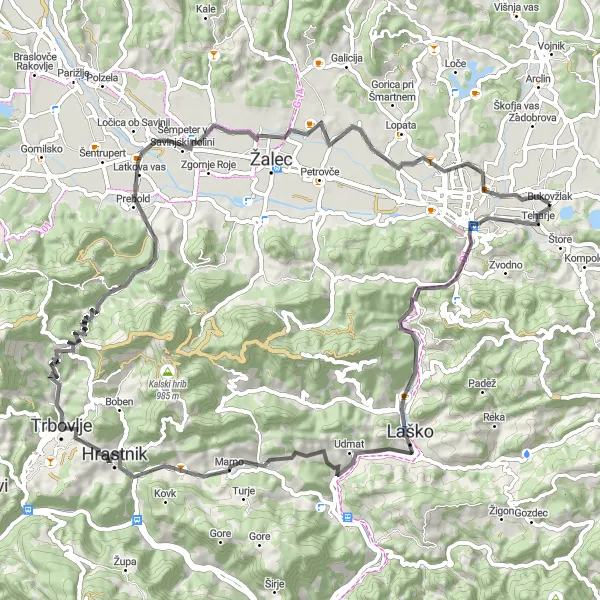
Discover the diverse landscapes and cultural heritage of Vzhodna Slovenija on this 142-kilometer cycling route. With a total ascent of 3694 meters, this challenging route is suitable for experienced cyclists seeking an epic adventure. Highlights of the route include Svetina, Kokotec, Turn, Polana, Kompolje, Gavge, Kres, Ostrožnik, Boršte, Podkum, Špičnik, Brnica, Zavrate, Vipota, and Teharje. The difficulty level of this route is 5, while the epicness rating is 4, offering a thrilling and rewarding cycling experience.
The Gorica Adventure
Experience the beauty of nature while riding through the charming village of Gorica and other scenic spots.
Get ready for an exciting cycling adventure in Vzhodna Slovenija. This 113-kilometer route offers a total ascent of 2779 meters, making it suitable for experienced cyclists. Explore the stunning natural beauty of the region while passing through highlights such as Gorica pri Slivnici, Rakita, Veternik, Trebež, Polana, Turn, Kokotec, Svetina, Straški vrh, and Slance. With a difficulty level of 4 and an epicness rating of 3, this route promises a memorable journey for those seeking a challenging yet rewarding cycling experience.
The Gravel Adventure

Embark on an epic gravel adventure through the rugged landscapes of eastern Slovenia.
The Gravel Adventure is a thrilling cycling route that takes you off the beaten path and onto the gravel roads of eastern Slovenia. With a total distance of 121 kilometers and an elevation gain of 3278 meters, this route is best suited for experienced cyclists looking for a challenge. The highlight of the route is the stunning natural beauty of the Pohorje Mountains and the diverse landscapes it offers.
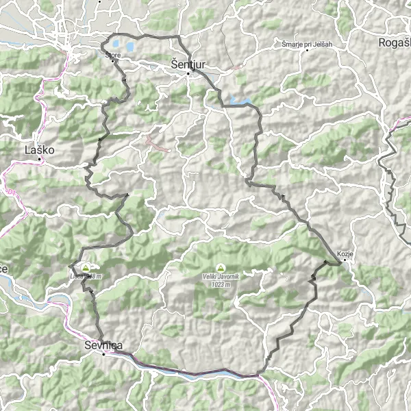
The Svetina Challenge
Ride through picturesque landscapes and conquer the challenging ascent to Svetina.
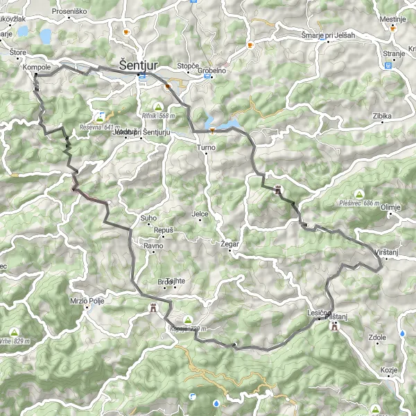
This route takes you on a scenic journey through the Vzhodna Slovenija region. Starting near Štore, you'll face a total ascent of 1795 meters over a distance of 74 kilometers. The highlight of this route is the climb to Svetina, offering breathtaking views of the surrounding mountains. The route also passes through stunning locations such as Kremen, Jelenka, Obrežje pri Zidanem Mostu, Brnica, Zavrate, Tremerje, and Vipota. With a difficulty level of 4 and an epicness rating of 3, this route is suitable for well-trained cyclists looking for a challenging ride with beautiful scenery.
Take on the challenge of cycling up the demanding slopes of Tičnica.
The Tičnica Challenge is a demanding cycling route that will test even the most experienced riders. With a total distance of 67 kilometers and an elevation gain of 1443 meters, this route is best suited for well-trained amateur cyclists. The highlight of the route is the climb up Tičnica, a challenging ascent that rewards cyclists with stunning views of the surrounding landscape.
The Štore Loop
Discover the scenic beauty of Vzhodna Slovenija on this challenging road cycling route.
The Štore Loop is a challenging road cycling route that takes you through the picturesque landscapes of Vzhodna Slovenija. With a total distance of 75 kilometers and an elevation gain of 1240 meters, this route is perfect for well-trained amateur cyclists looking for a thrilling adventure. The route starts near the town of Štore and takes you on a journey through various charming villages and countryside scenery. Along the way, you'll encounter highlights such as the Slance, Vipota, Gaj, and Brnica. These spots offer breathtaking views and unique cultural experiences.
Cycling routes nearby:
Nearby regions: