The Mountain Explorer
A road cycling route starting from Store
Embark on an epic journey through mountains and valleys, and explore stunning locations along the way.
Map
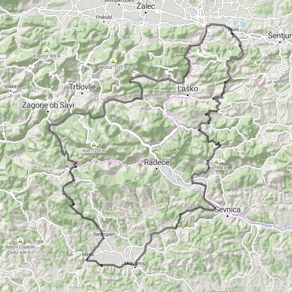
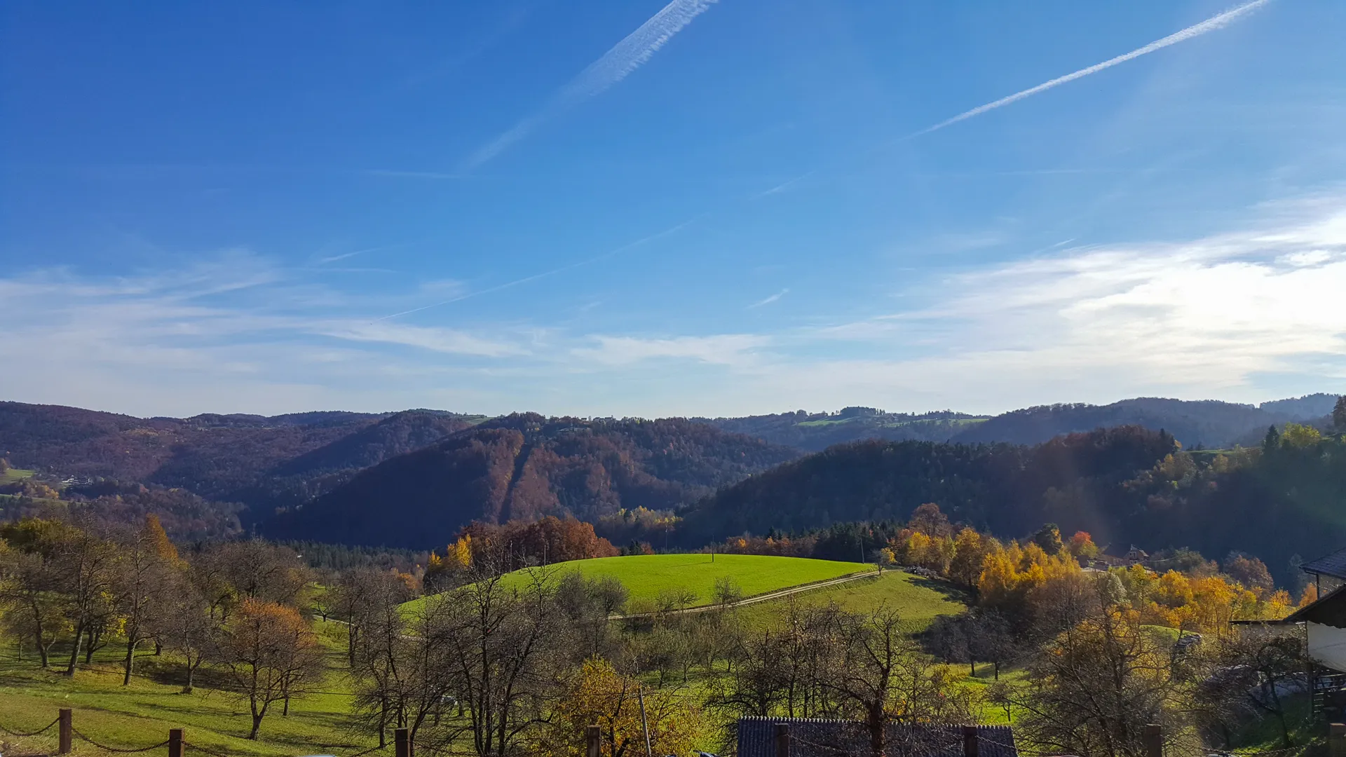
Discover the diverse landscapes and cultural heritage of Vzhodna Slovenija on this 142-kilometer cycling route. With a total ascent of 3694 meters, this challenging route is suitable for experienced cyclists seeking an epic adventure. Highlights of the route include Svetina, Kokotec, Turn, Polana, Kompolje, Gavge, Kres, Ostrožnik, Boršte, Podkum, Špičnik, Brnica, Zavrate, Vipota, and Teharje. The difficulty level of this route is 5, while the epicness rating is 4, offering a thrilling and rewarding cycling experience.
road
142 km
3694 m
Savage
Route profile
Highlights on the route
0 km
0 km
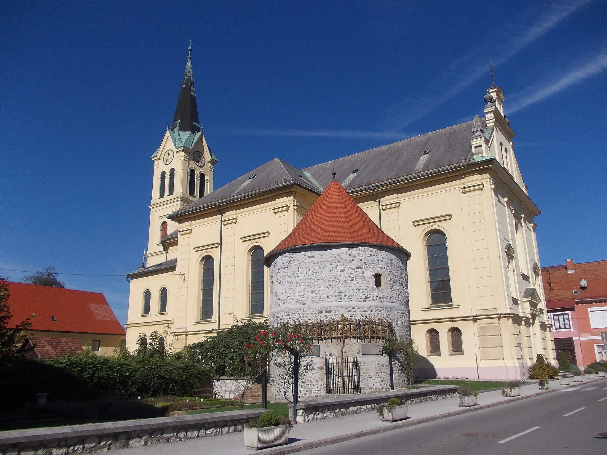
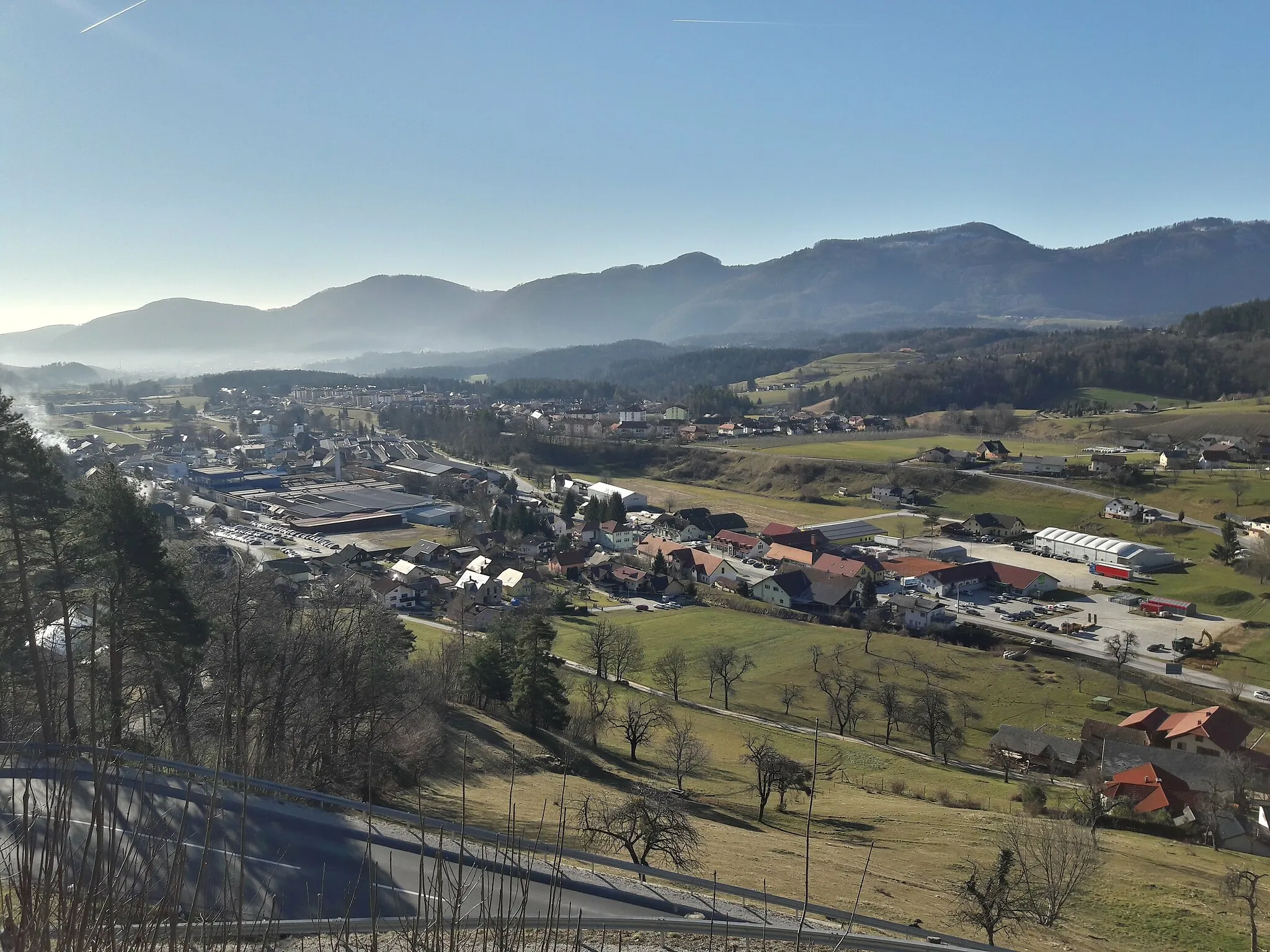
Start: Štore Village centerŠtore: Explore the beautiful cycling terrain of Štore in Slovenia's Vzhodna Slovenija region.
Štore, situated in Vzhodna Slovenija, Slovenia, offers a diverse landscape for road and gravel cyclists. The locality provides a mix of challenging climbs and rolling hills, ideal for those looking to test their endurance. Štore is positioned near the iconic climb of Ljubelj, which boasts stunning views and a demanding ascent. Cycling enthusiasts can also explore the scenic routes in the nearby vineyards and discover the charm of Slovenian countryside. With its cycling-friendly roads and captivating scenery, Štore is a hidden gem for cyclists of all levels.7 km
7 km
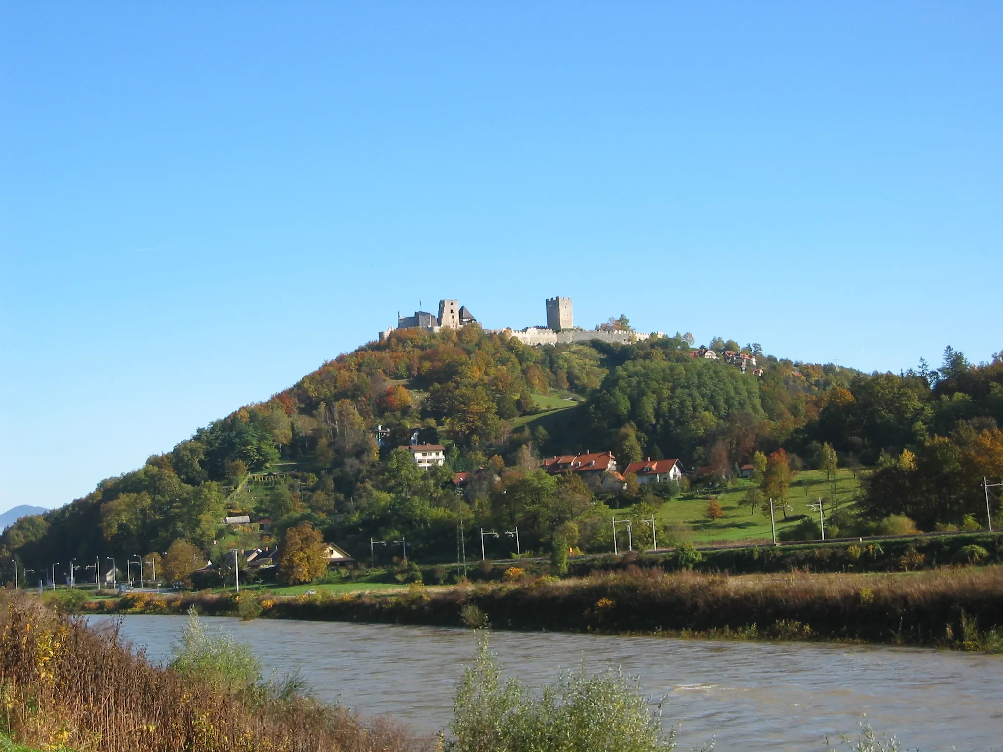
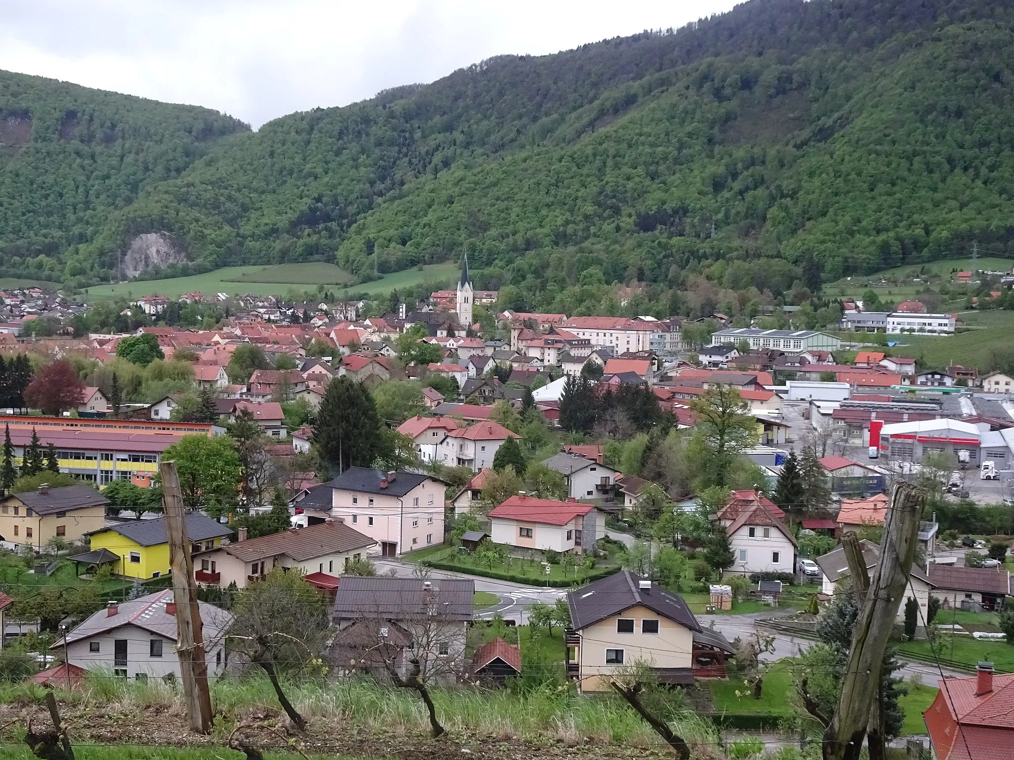
SvetinaVillageSvetina is a must-visit spot for its breathtaking mountain views and tranquil atmosphere.
10 km
10 km
Kokotec692 mPeakKokotec is a charming village known for its traditional wooden architecture and stunning natural surroundings.
31 km
31 km
Turn535 mPeakTurn offers picturesque landscapes and several historic landmarks.
32 km
32 km
PolanaVillagePolana is a small village situated in the mountains, offering panoramic views and serene hiking trails.
42 km
42 km
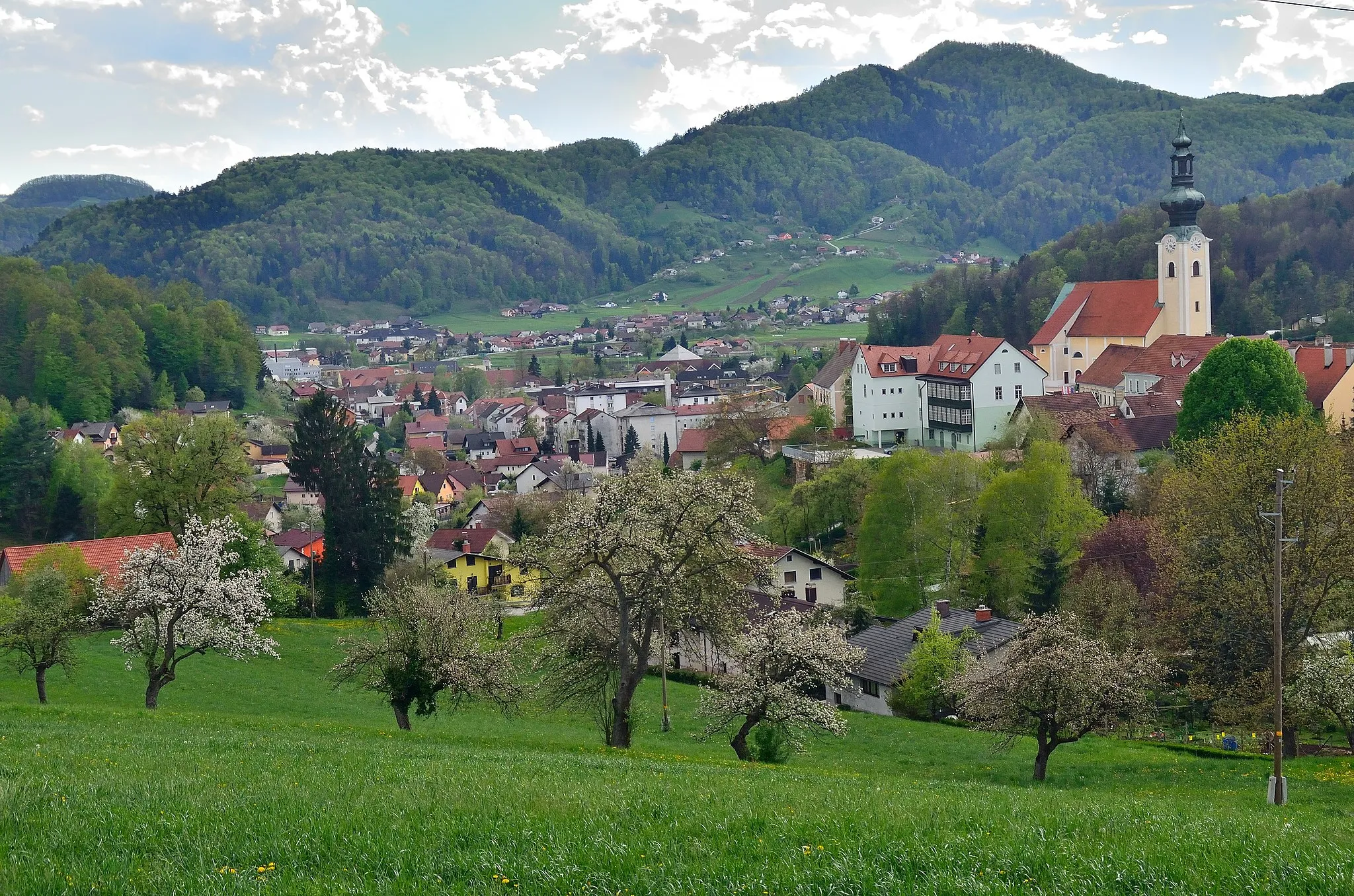
KompoljeVillageKompolje is a small and peaceful village known for its quaint countryside charm.
47 km
47 km
Gavge294 mPeakGavge is a hidden gem with beautiful meadows and traditional architecture.
57 km
57 km
Kres320 mPeakKres is a remote village surrounded by untouched nature and scenic beauty.
65 km
65 km
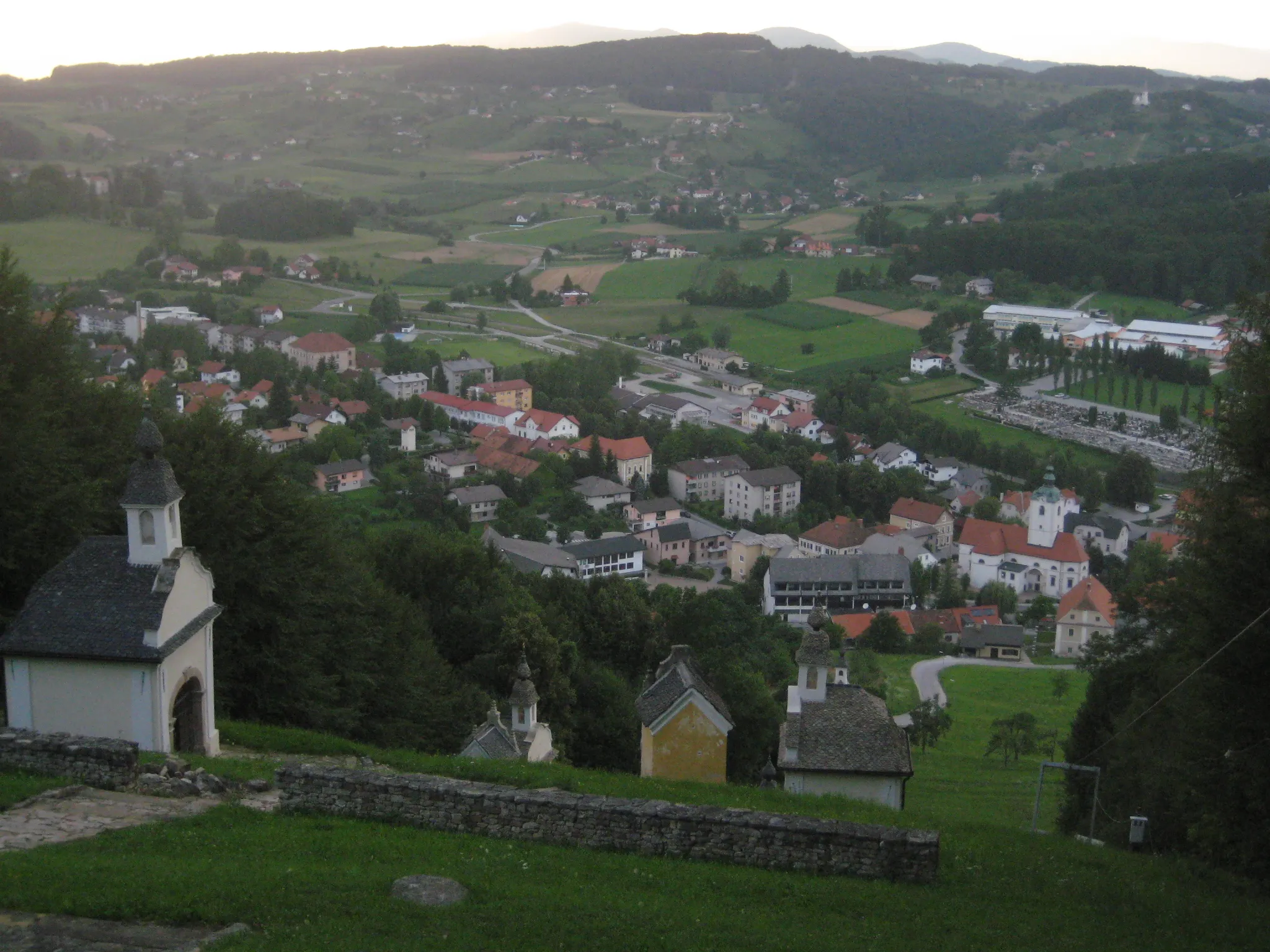
OstrožnikVillageOstrožnik is a scenic spot with stunning panoramic views of the surrounding mountains.
77 km
77 km
Boršte436 mPeakBoršte is a peaceful village famous for its well-preserved traditional houses and idyllic setting.
92 km
92 km
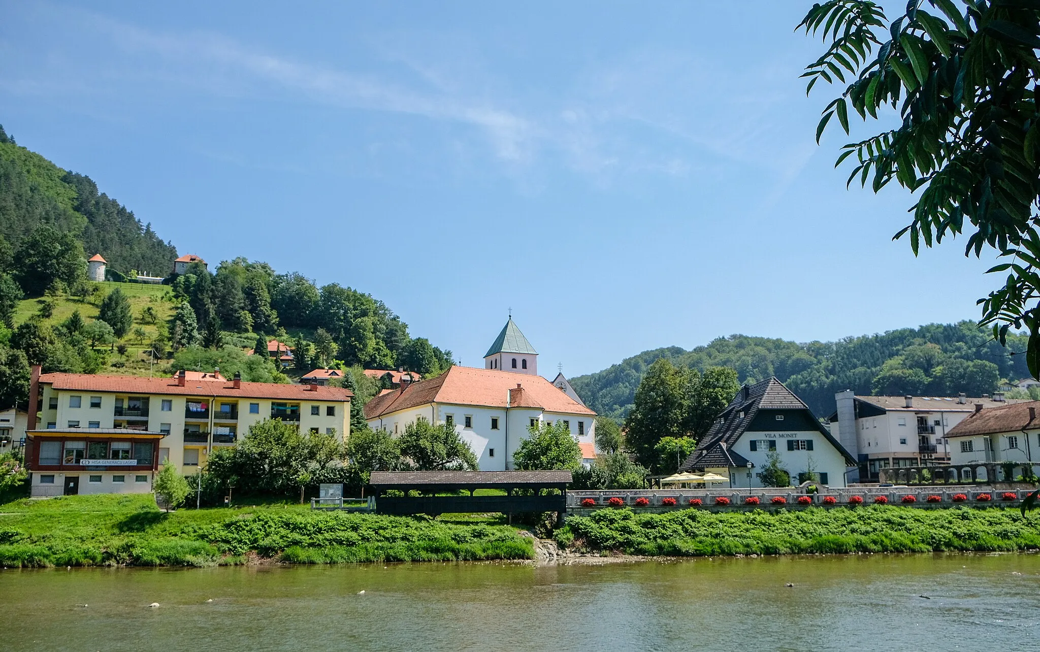
PodkumVillagePodkum is a picturesque village nestled among green hills and enchanting forests.
96 km
96 km
Špičnik628 mPeakŠpičnik offers spectacular mountain views and challenging hiking trails.
111 km
111 km
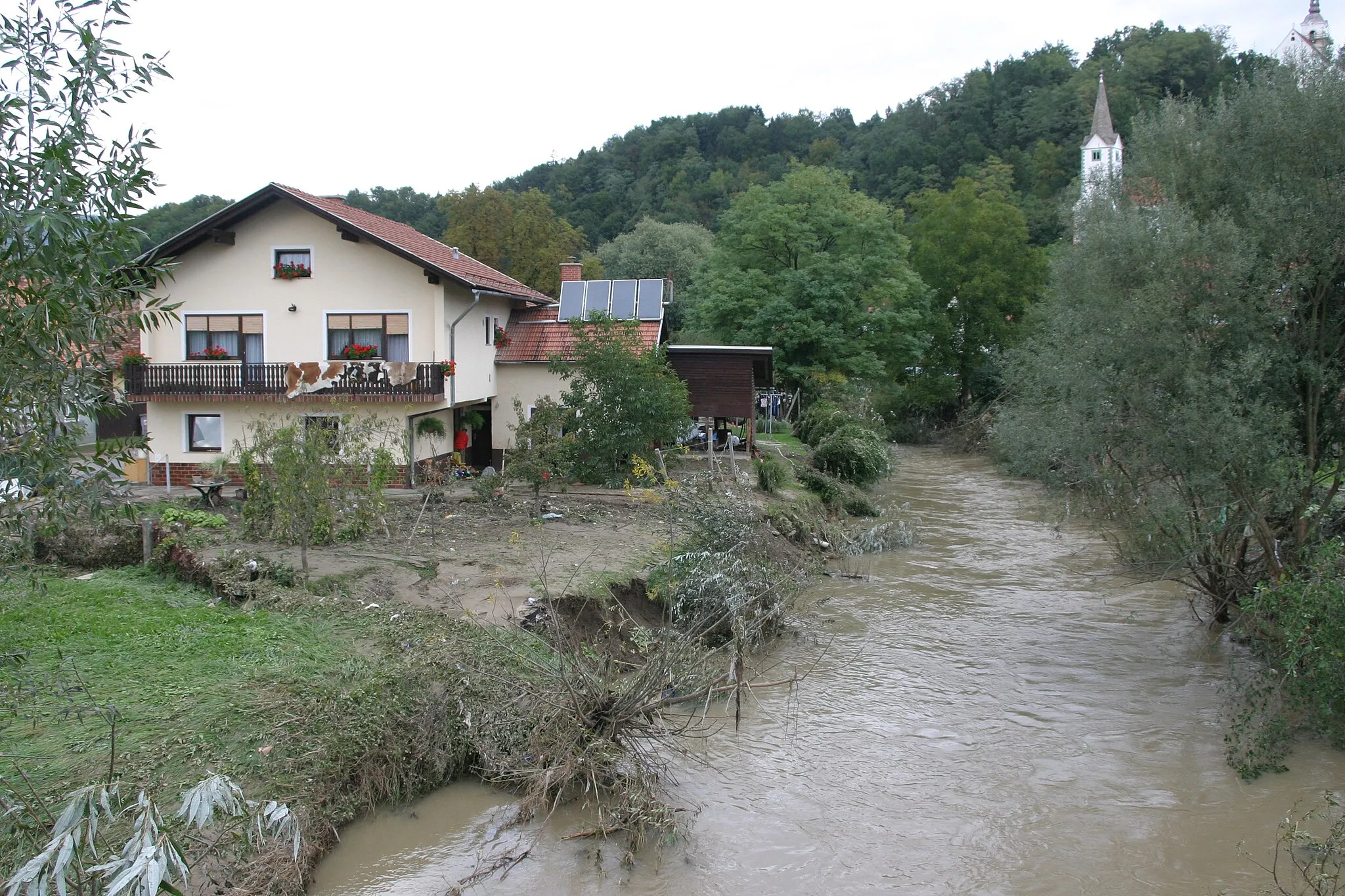
BrnicaVillageBrnica is a charming village known for its traditional wooden architecture and scenic countryside.
118 km
118 km
Zavrate552 mMountain PassZavrate is a quaint village surrounded by serene countryside and breathtaking landscapes.
134 km
134 km
Vipota392 mPeakVipota is a beautiful village perched on a hill, offering panoramic views of the region.
141 km
141 km
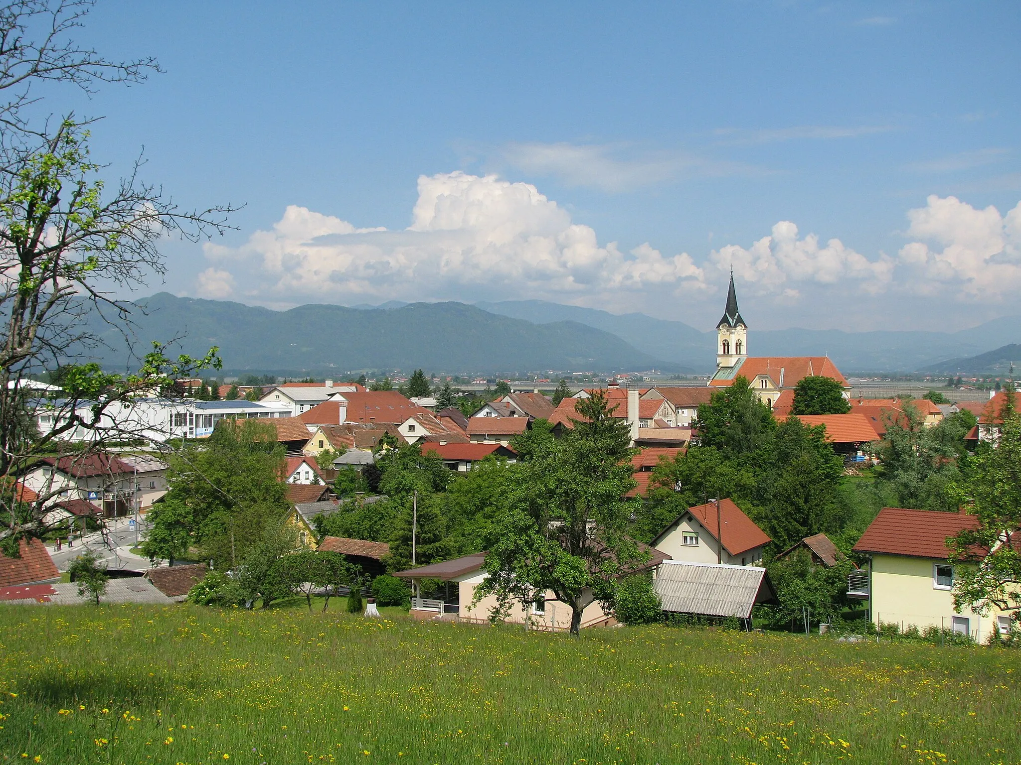
TeharjeVillageTeharje is a historic village with several preserved medieval buildings and a tranquil atmosphere.
142 km
142 km
Finish: Štore Village centerŠtore: Explore the beautiful cycling terrain of Štore in Slovenia's Vzhodna Slovenija region.
Cycling routes nearby: