The Puša Adventure
A road cycling route starting from Store
Embark on an adventurous journey through the scenic landscapes of Puša.
Map
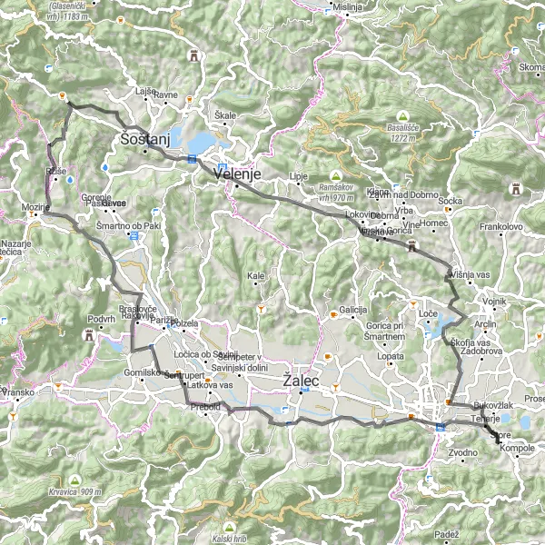
The Puša Adventure is an exciting cycling route that takes you through some of the most beautiful landscapes in eastern Slovenia. With a total distance of 91 kilometers and an elevation gain of 1266 meters, this route offers a moderate challenge for well-trained amateur cyclists. The highlight of the route is the Puša region, known for its breathtaking natural beauty and charming rural villages.
road
91 km
1266 m
Tough
Route profile
Highlights on the route
0 km
0 km
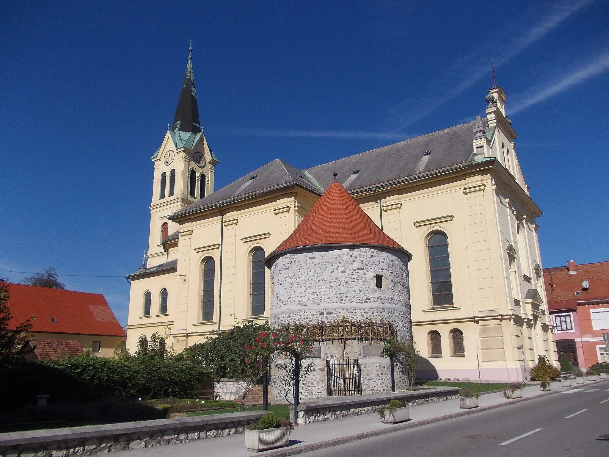
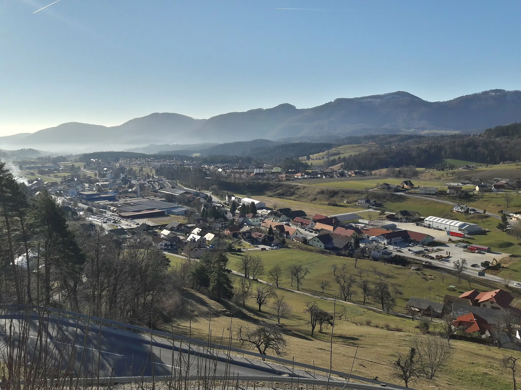
Start: Štore Village centerŠtore: Explore the beautiful cycling terrain of Štore in Slovenia's Vzhodna Slovenija region.
Štore, situated in Vzhodna Slovenija, Slovenia, offers a diverse landscape for road and gravel cyclists. The locality provides a mix of challenging climbs and rolling hills, ideal for those looking to test their endurance. Štore is positioned near the iconic climb of Ljubelj, which boasts stunning views and a demanding ascent. Cycling enthusiasts can also explore the scenic routes in the nearby vineyards and discover the charm of Slovenian countryside. With its cycling-friendly roads and captivating scenery, Štore is a hidden gem for cyclists of all levels.8 km
8 km
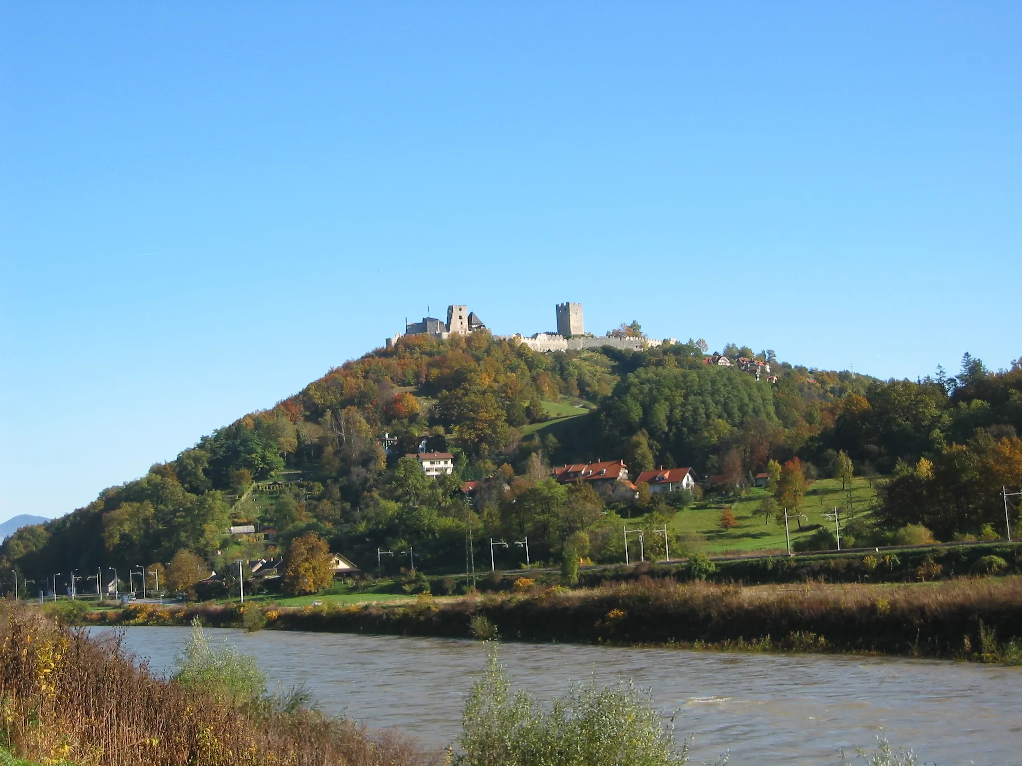
Puša306 mPeakExplore the Puša region and be amazed by its stunning natural landscapes and scenic viewpoints.
17 km
17 km
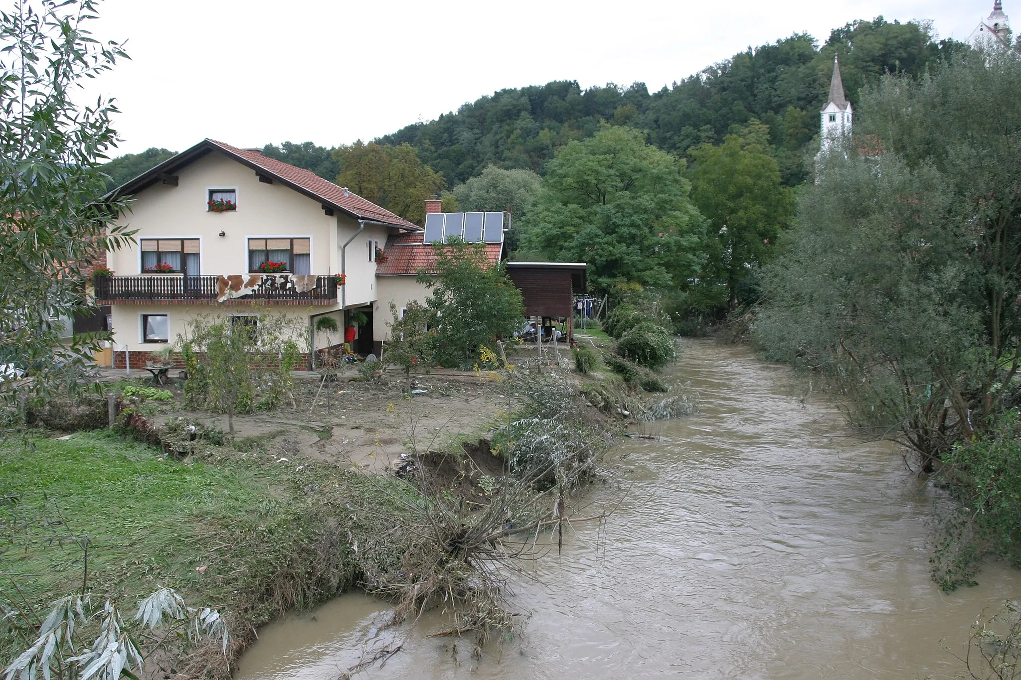
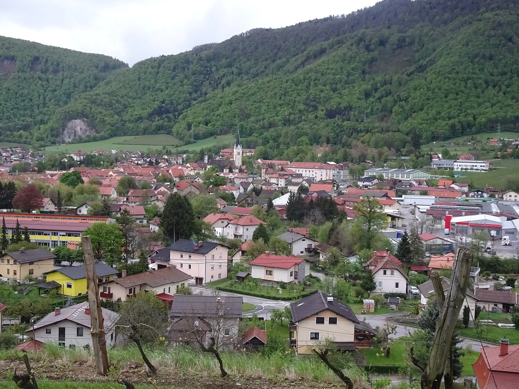
Šešče pri PrebolduVillagePass through the picturesque village of Šešče pri Preboldu and admire its traditional Slovenian architecture.
36 km
36 km
Podgorski hrib722 mPeakCycle to the top of Podgorski hrib and enjoy panoramic views of the surrounding countryside.
54 km
54 km
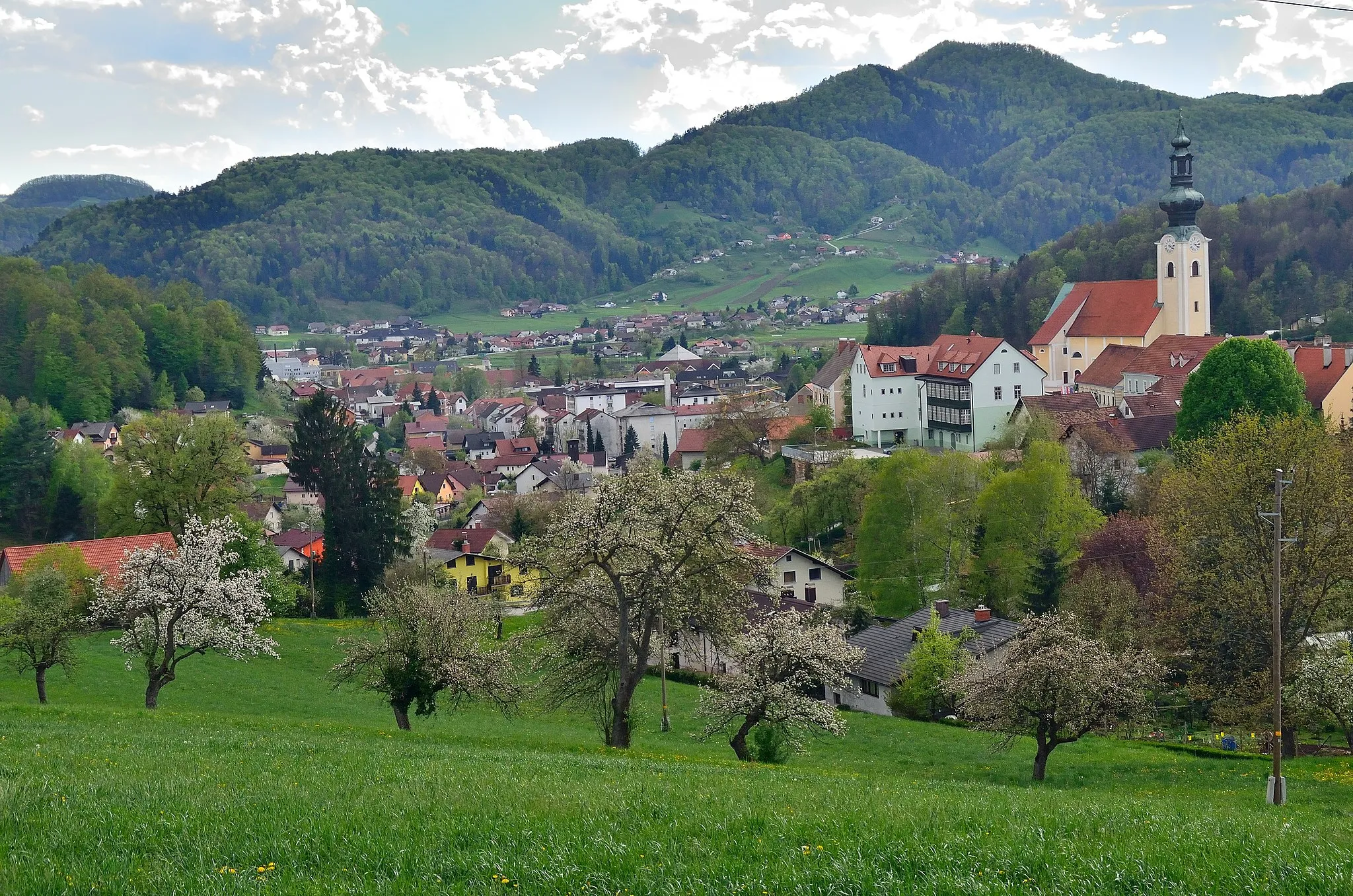
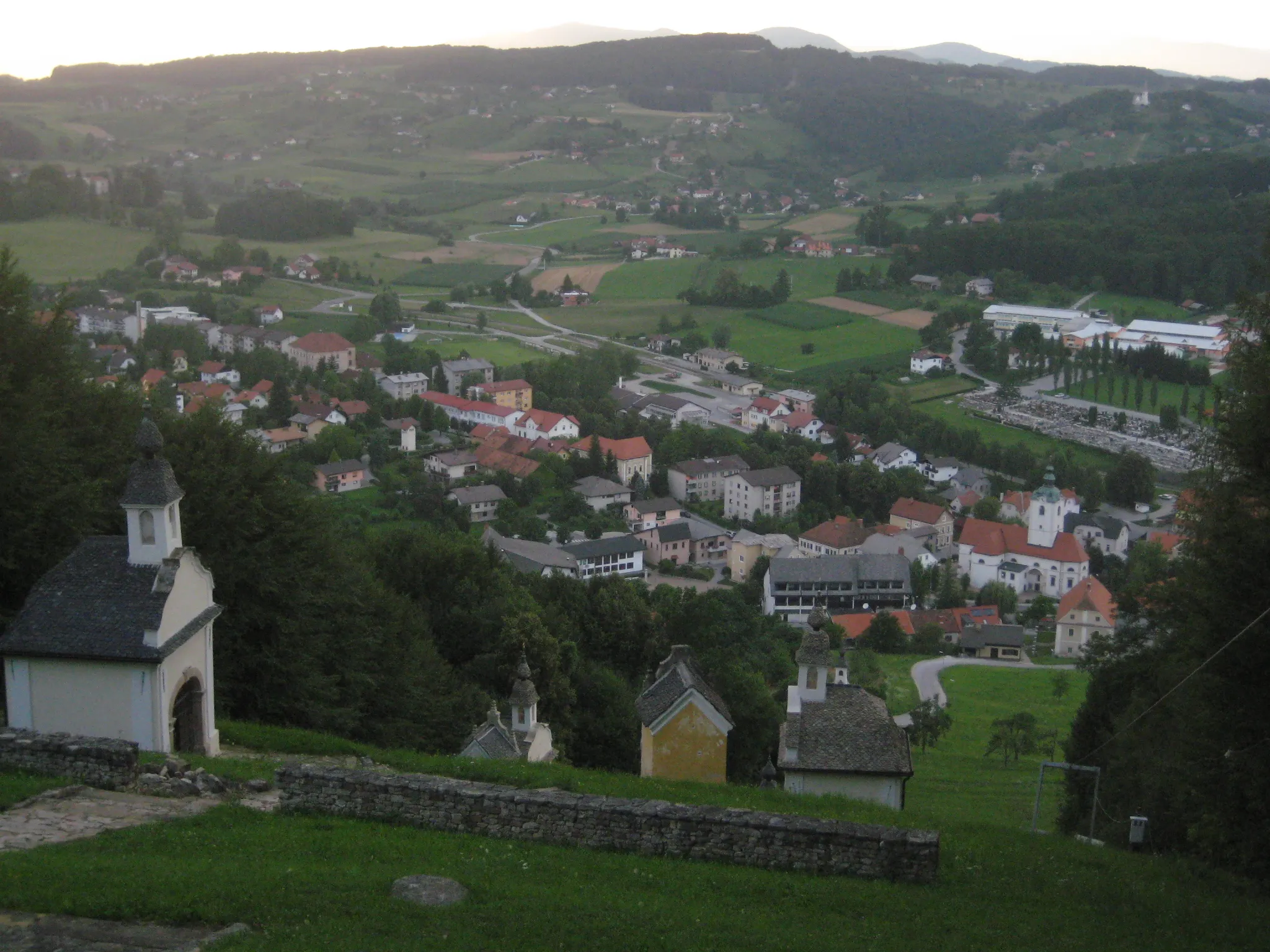
ŠoštanjTownVisit the charming town of Šoštanj and learn about its rich history and cultural heritage.
60 km
60 km
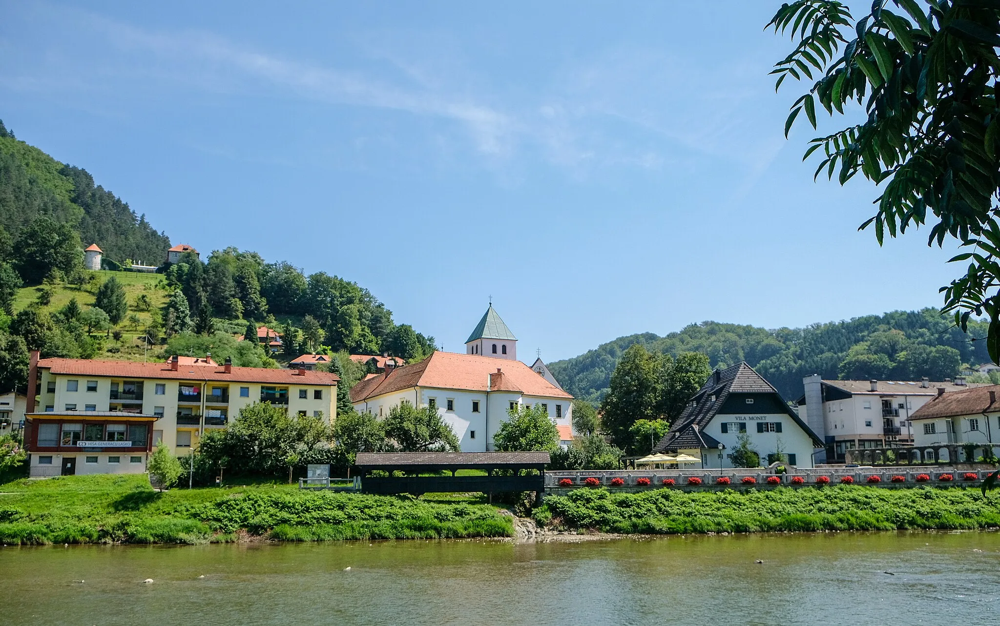
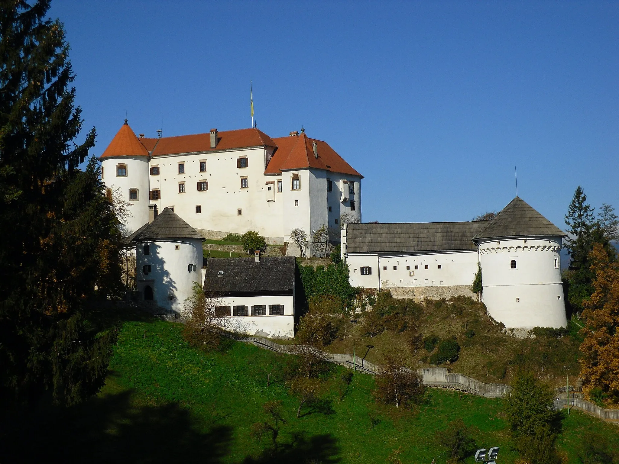
GradViewpointDiscover the Grad castle, a well-preserved medieval fortress with stunning architecture.
76 km
76 km
Vranjek434 mPeakTake a break at Vranjek, a popular village with beautiful countryside views and cozy local cafes.
90 km
90 km
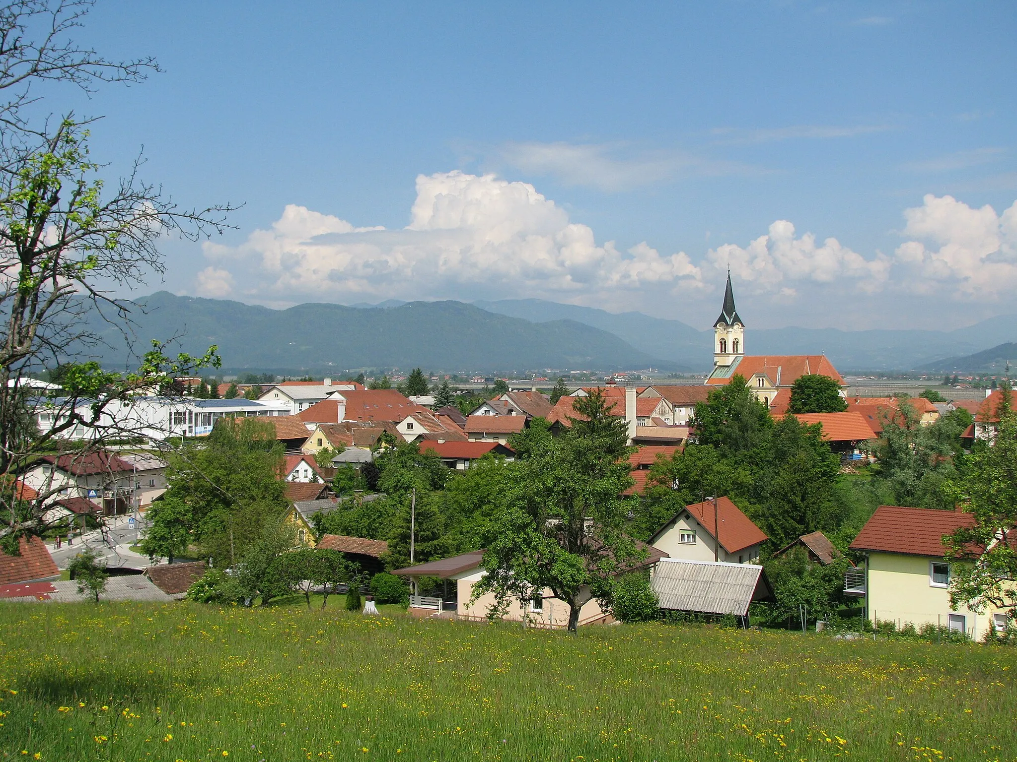
TeharjeVillageEnd your journey in Teharje and explore its historic sights, including the Teharje Memorial Park.
91 km
91 km
Finish: Štore Village centerŠtore: Explore the beautiful cycling terrain of Štore in Slovenia's Vzhodna Slovenija region.
Cycling routes nearby: