Gorica Loop Scenic Ride
A road cycling route starting from Zalec
Enjoy a scenic loop ride through the charming landscapes of Gorica in eastern Slovenia
Map
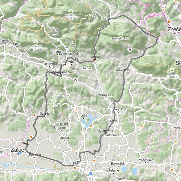
Take in the beauty of Gorica as you embark on a picturesque 60-kilometer road ride. With an ascent of 820 meters, this route will lead you through Gorica, Dobrna, Vitanje, Hrastje, Kamni vrh, Zadobrova, Puša, and Petrovče. Experience the tranquility of the Slovenian countryside and soak in the breathtaking views from the top of the hills.
road
60 km
820 m
Chill
Route profile
Highlights on the route
0 km
0 km
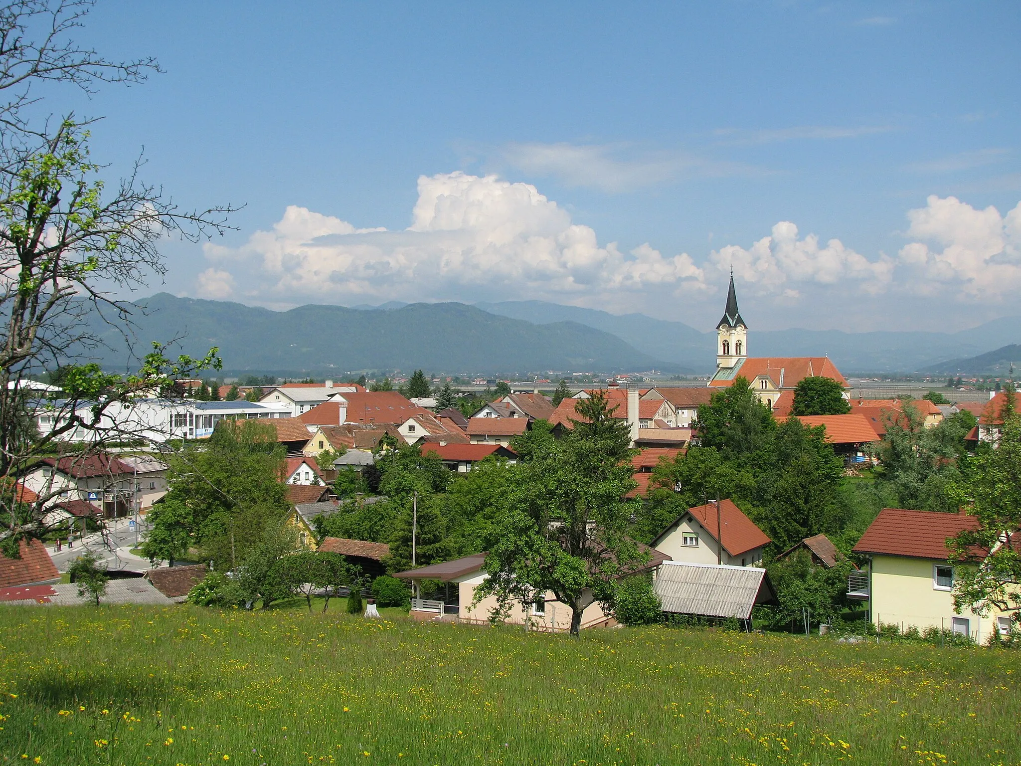
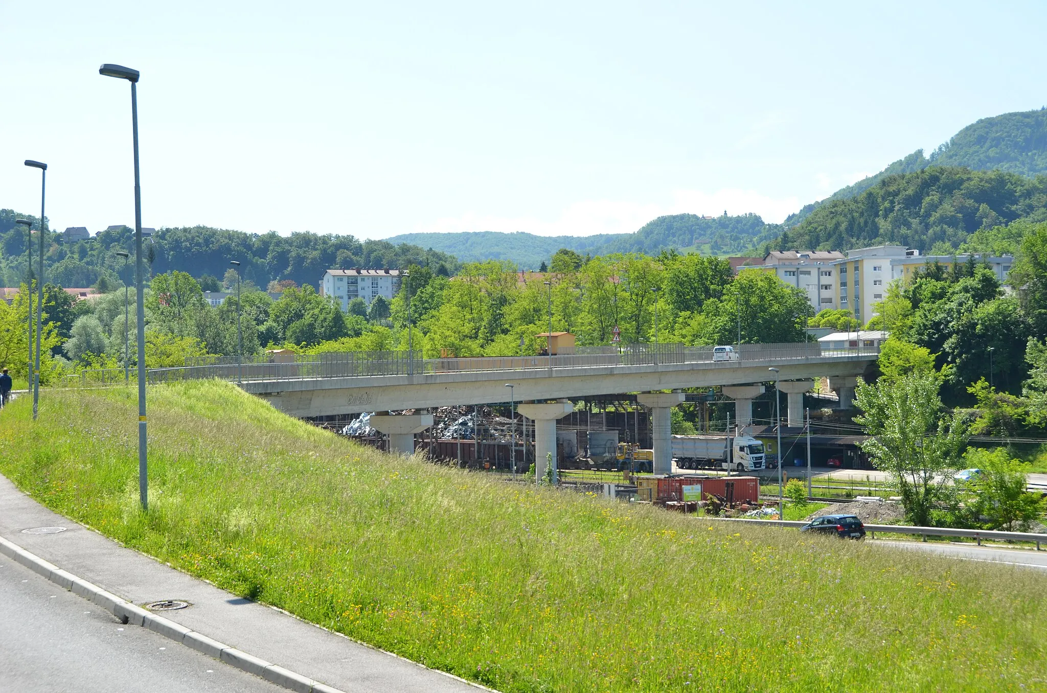
Start: Ložnica pri Žalcu Village centerŽalec: Cycling oasis with diverse routes in Žalec, Slovenia
Žalec, situated in Vzhodna Slovenija region of Slovenia, is a gem for cycling enthusiasts. This locality offers diverse cycling routes, ranging from challenging mountain ascents to leisurely rides through vineyards and countryside. The well-signposted cycling paths and low traffic make it an ideal destination for road and gravel cycling. Žalec is famous for its nearby Celjska Koča, a popular destination for mountain bikers featuring thrilling descents and technical single tracks. Cyclists visiting Žalec can also enjoy the stunning views of the Savinja River and explore the rich cultural heritage of the region.4 km
4 km
Gorica356 mPeakGorica offers stunning views of the surrounding countryside, with rolling hills and charming villages.
14 km
14 km
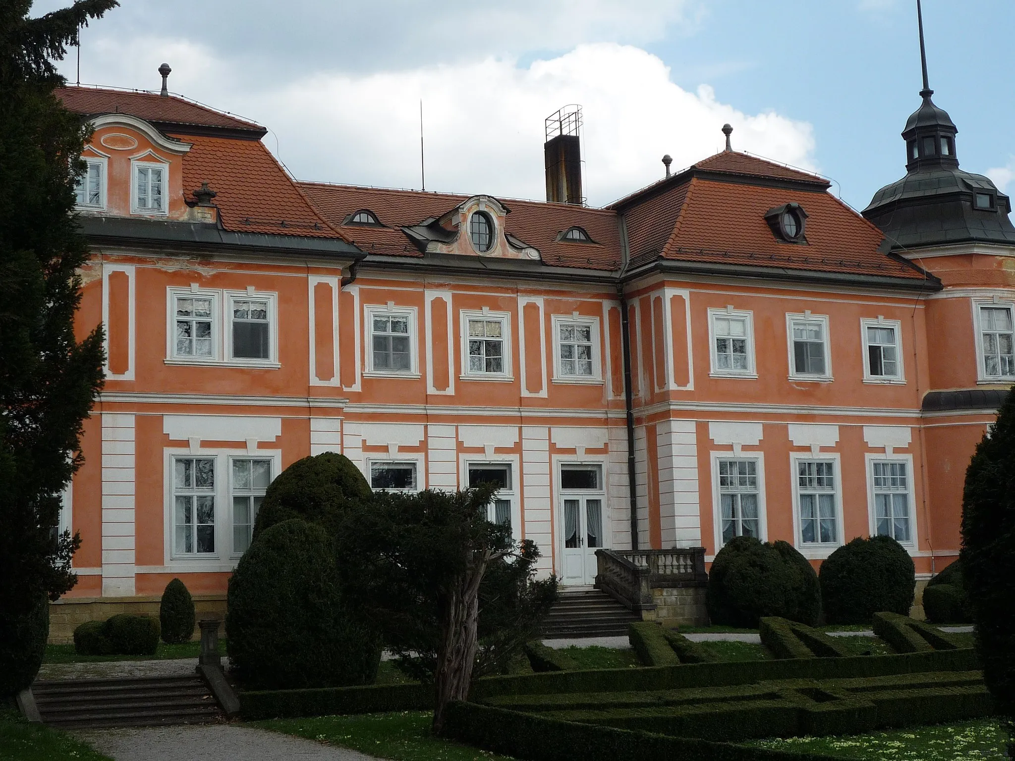
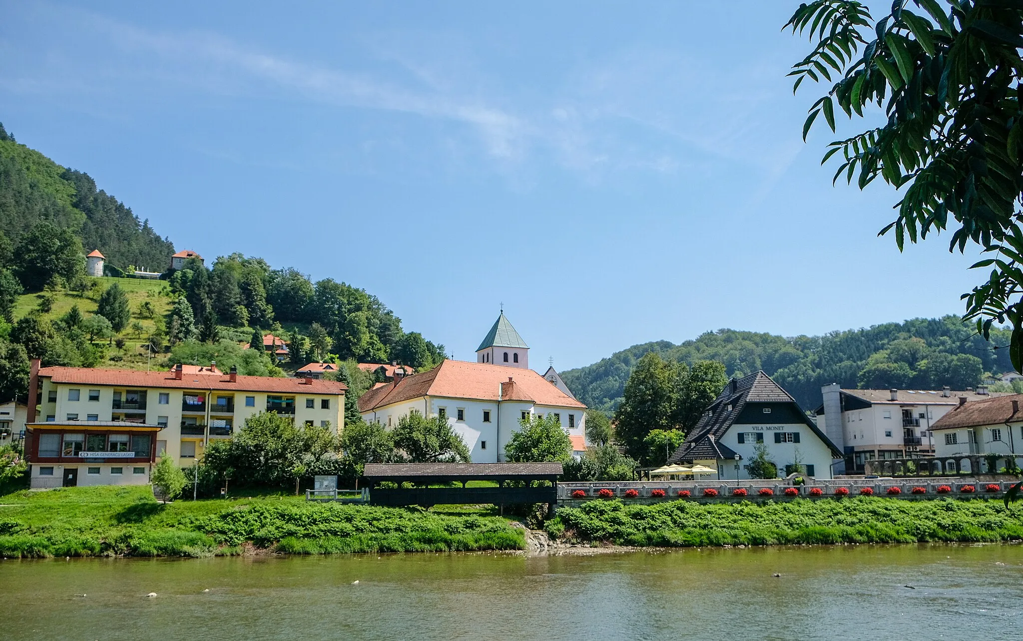
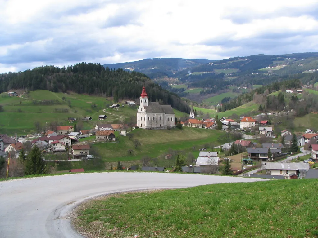
DobrnaVillageDobrna is a small town famous for its thermal spa and wellness facilities.
25 km
25 km
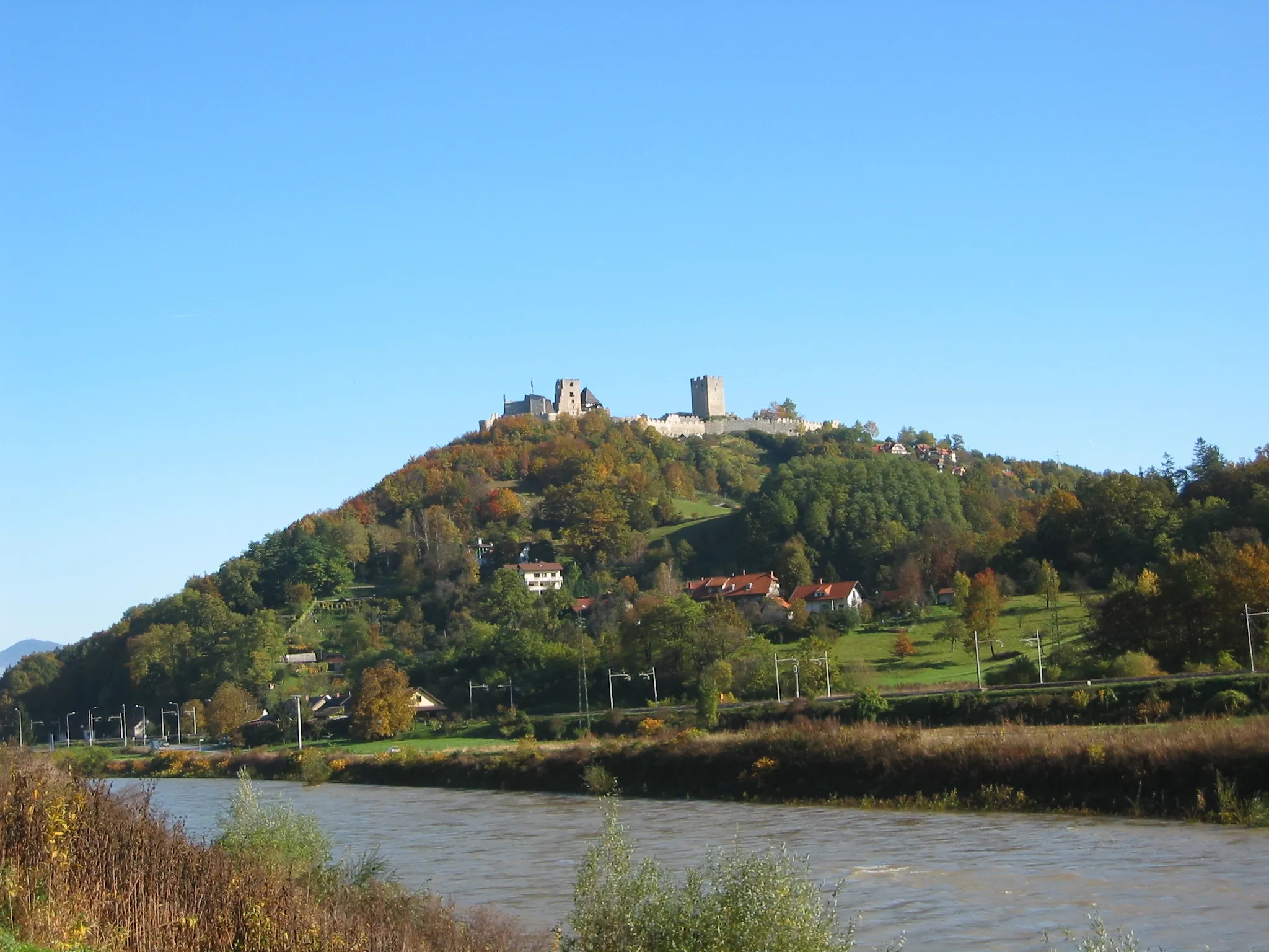
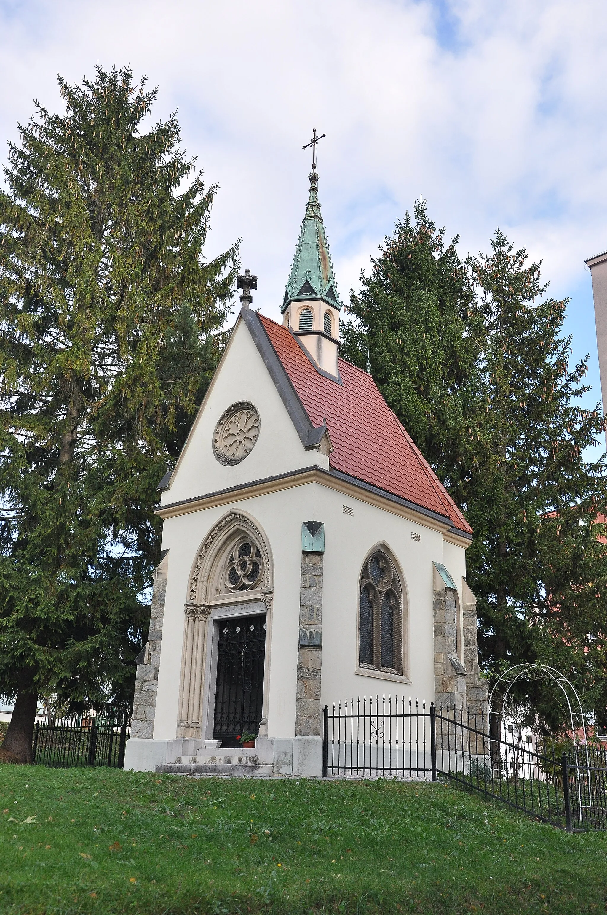
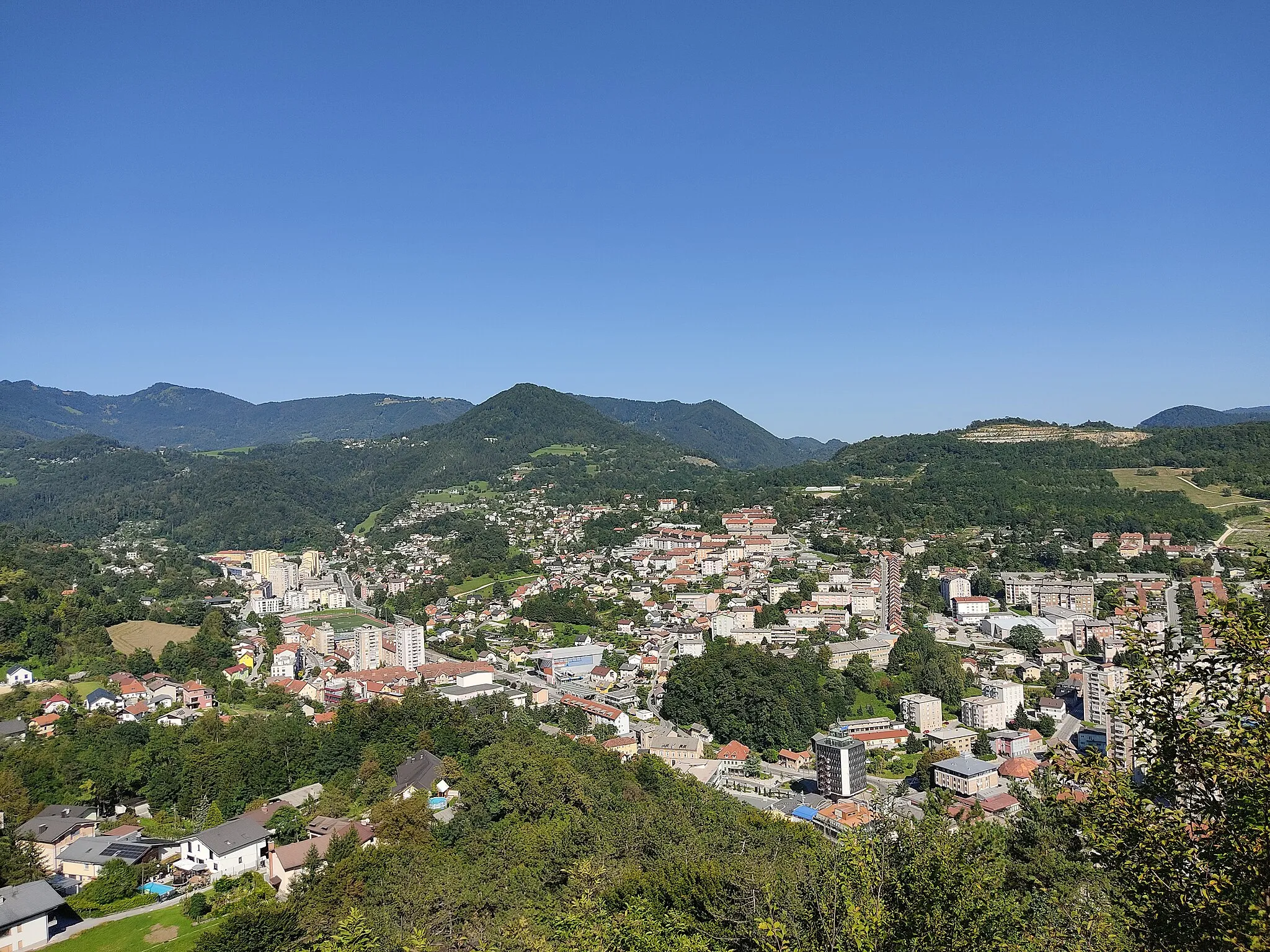
VitanjeVillageVitanje is home to a space center that houses the Slovenian Museum of Space Science and Technology.
32 km
32 km
Hrastje458 mPeakHrastje provides scenic viewpoints and hiking trails, offering a peaceful retreat in nature.
37 km
37 km
Kamni vrh420 mPeakKamni vrh features magical landscapes and offers panoramic views from its hilltop location.
45 km
45 km
ZadobrovaVillageZadobrova is surrounded by picturesque nature, including meadows and forests, perfect for outdoor activities.
54 km
54 km
Puša306 mPeakPuša features lush green landscapes and traditional Slovenian architecture.
57 km
57 km
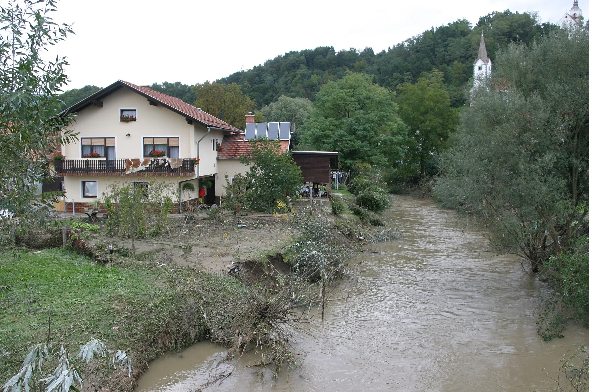
PetrovčeVillagePetrovče is a charming town with a cozy atmosphere and scenic views.
60 km
60 km
Finish: Ložnica pri Žalcu Village centerŽalec: Cycling oasis with diverse routes in Žalec, Slovenia
Cycling routes nearby: