Discovering the diverse cycling routes in Aguilar's stunning Andalucían landscapes.
Cycling routes from Aguilar
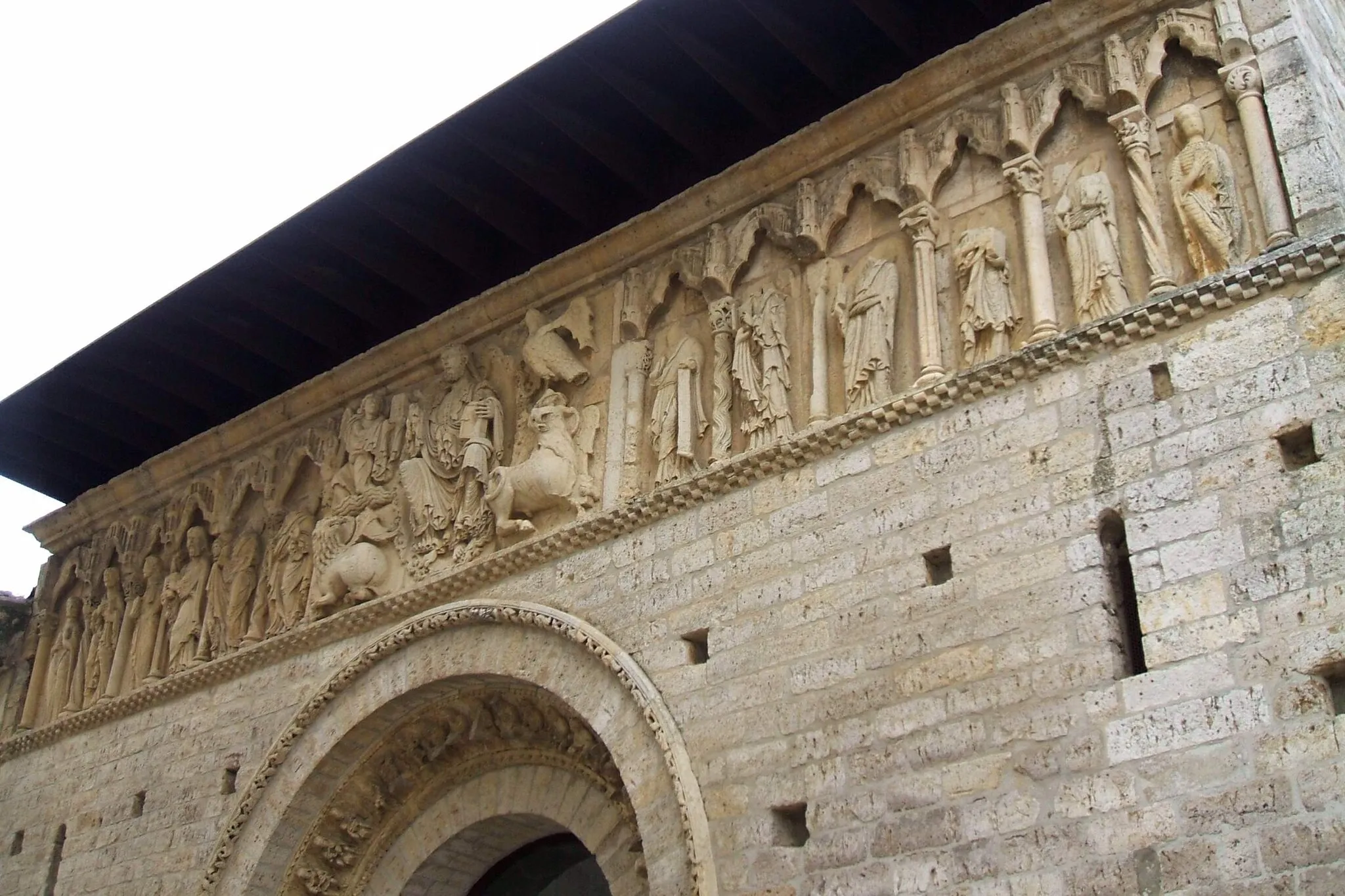
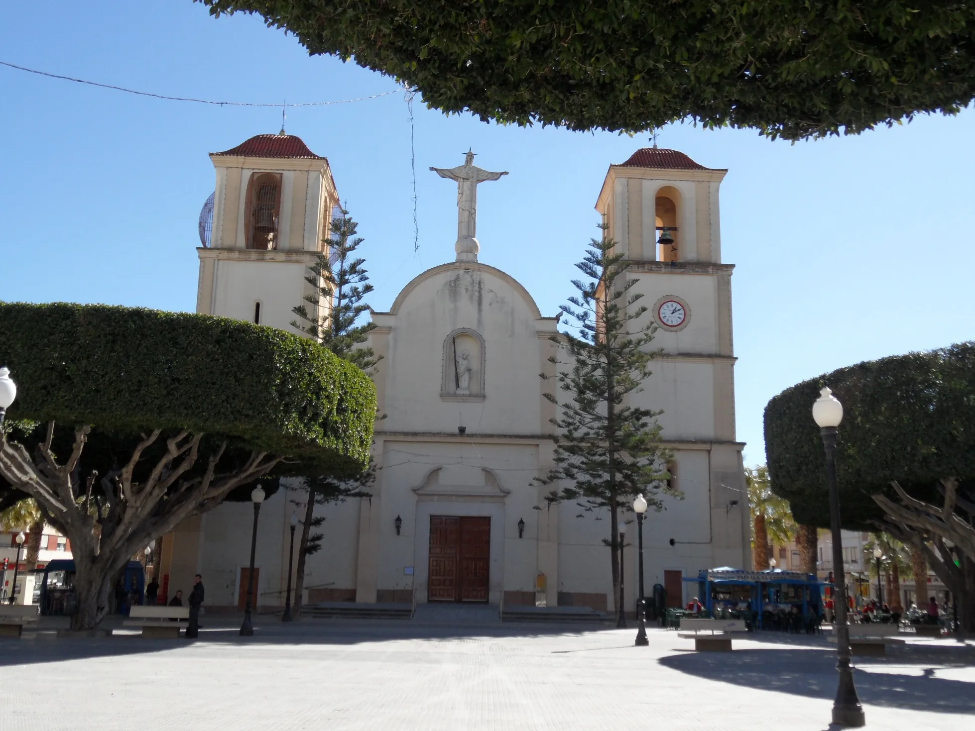
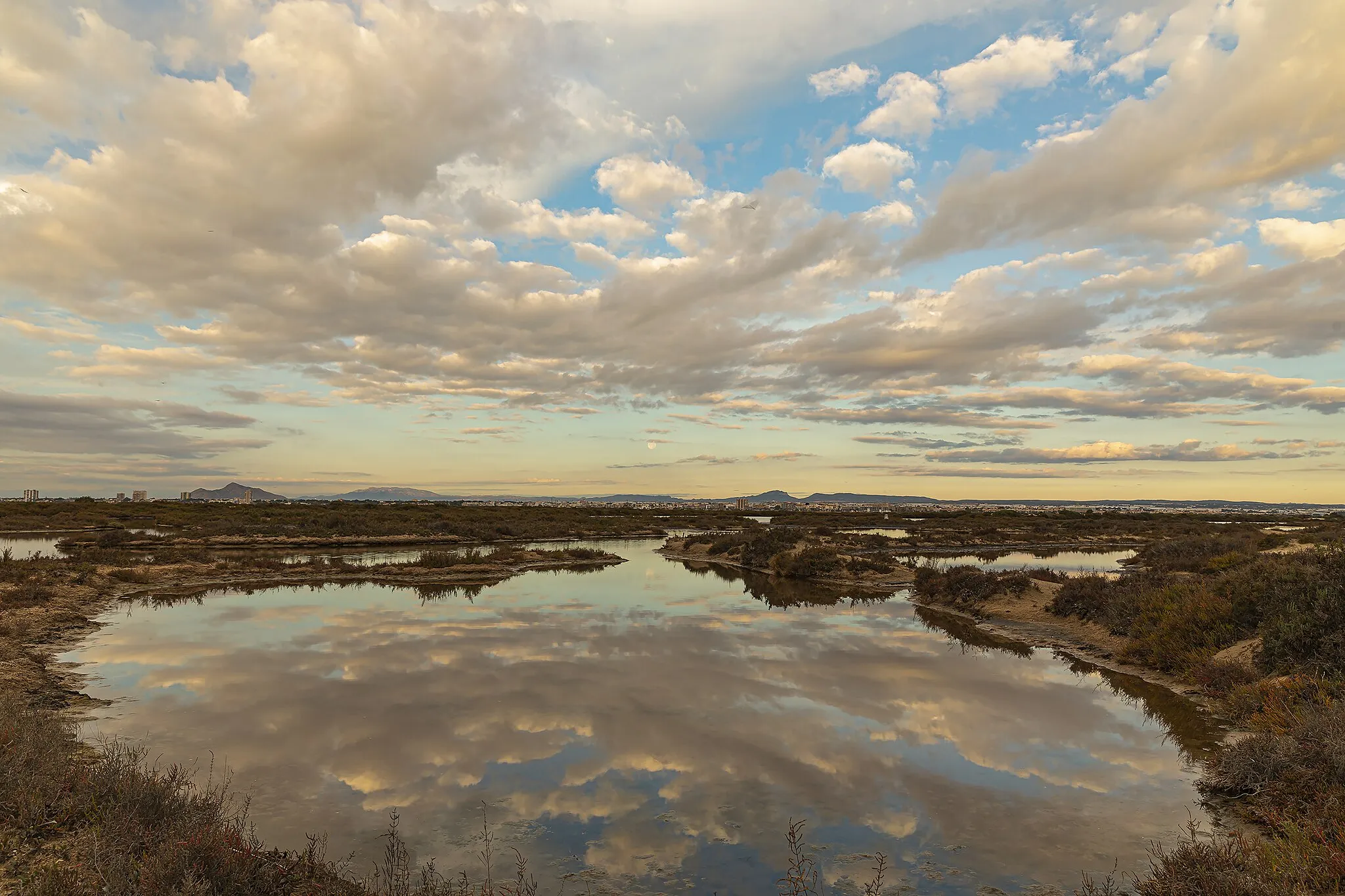
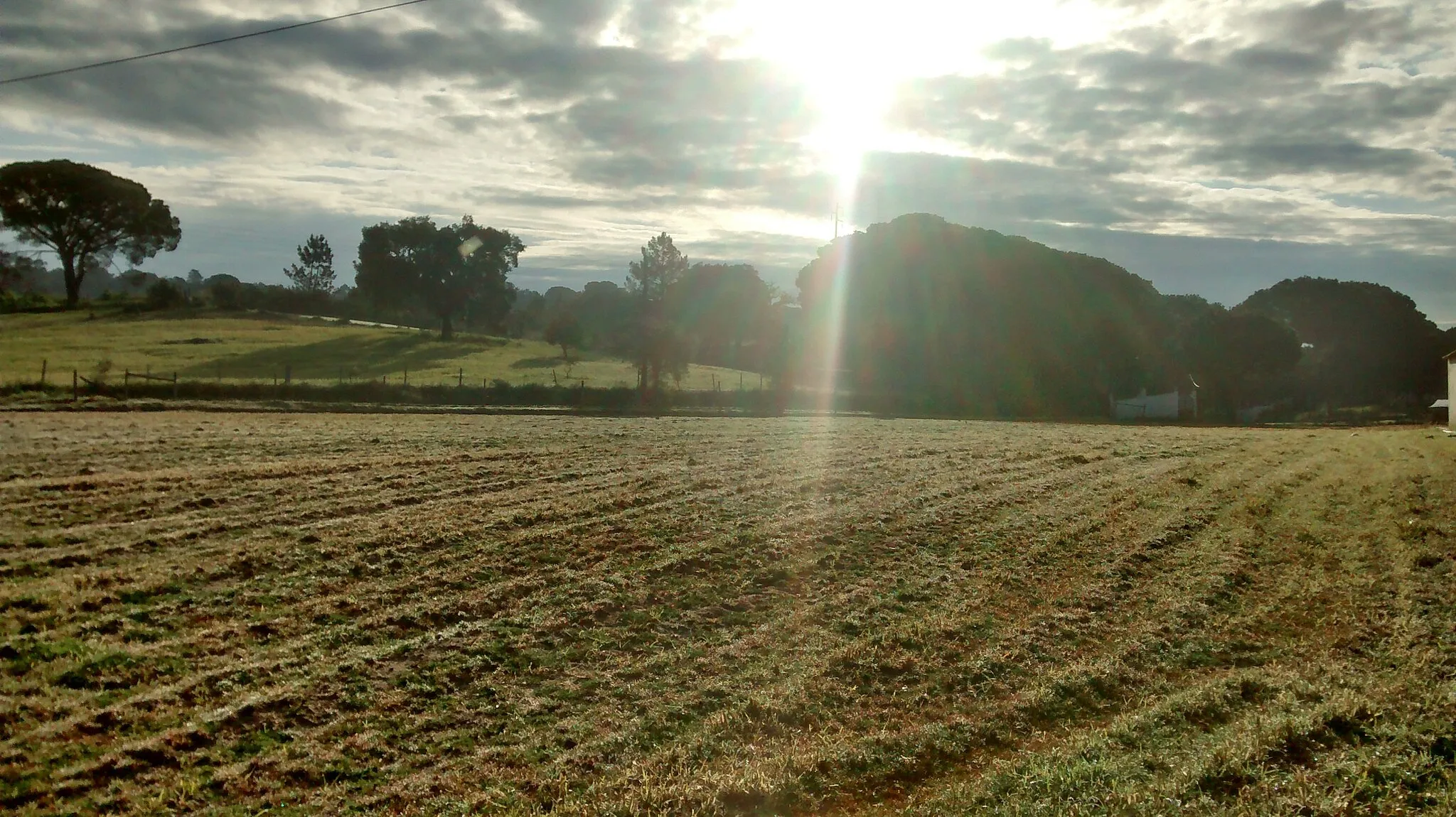
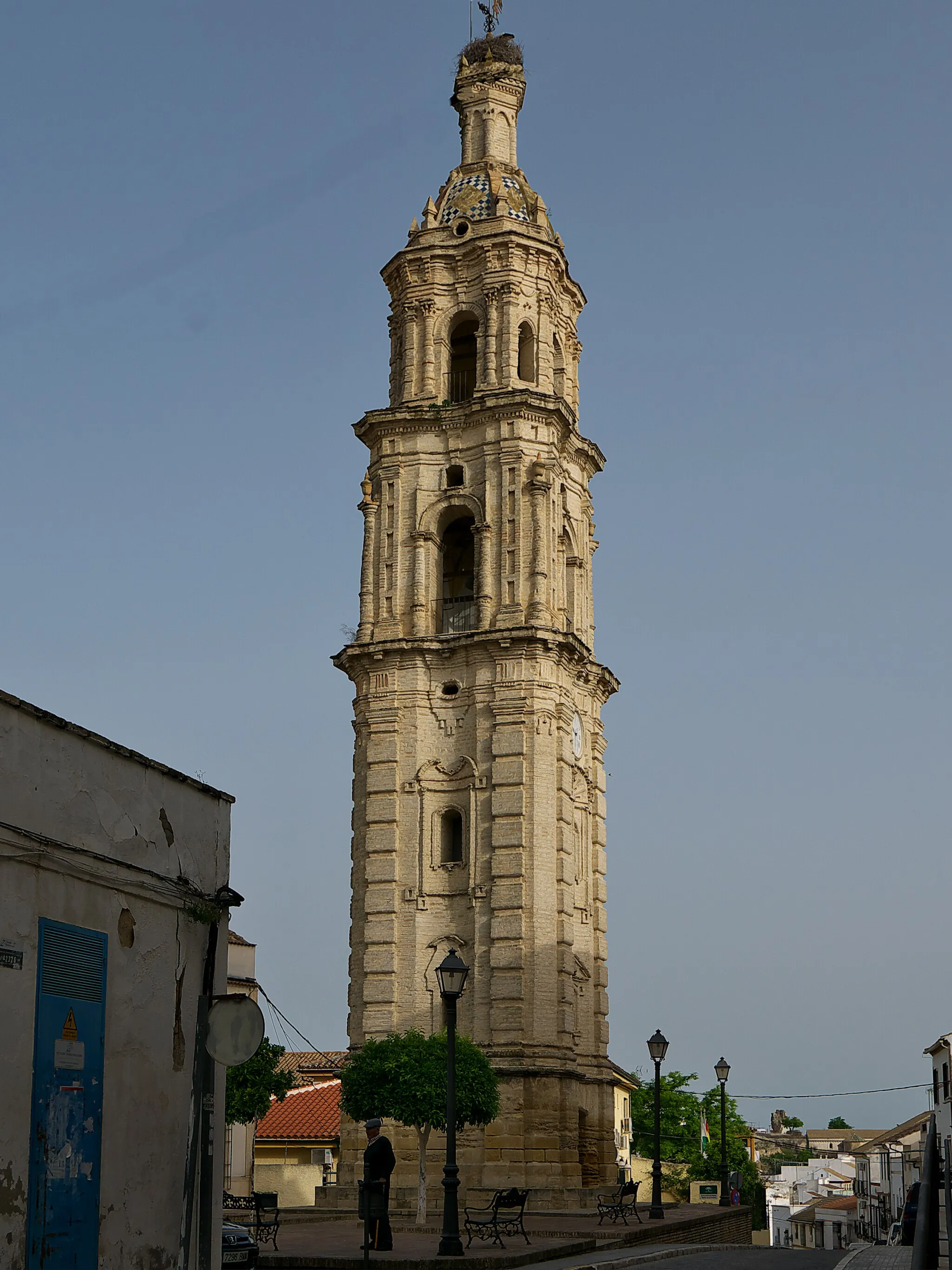
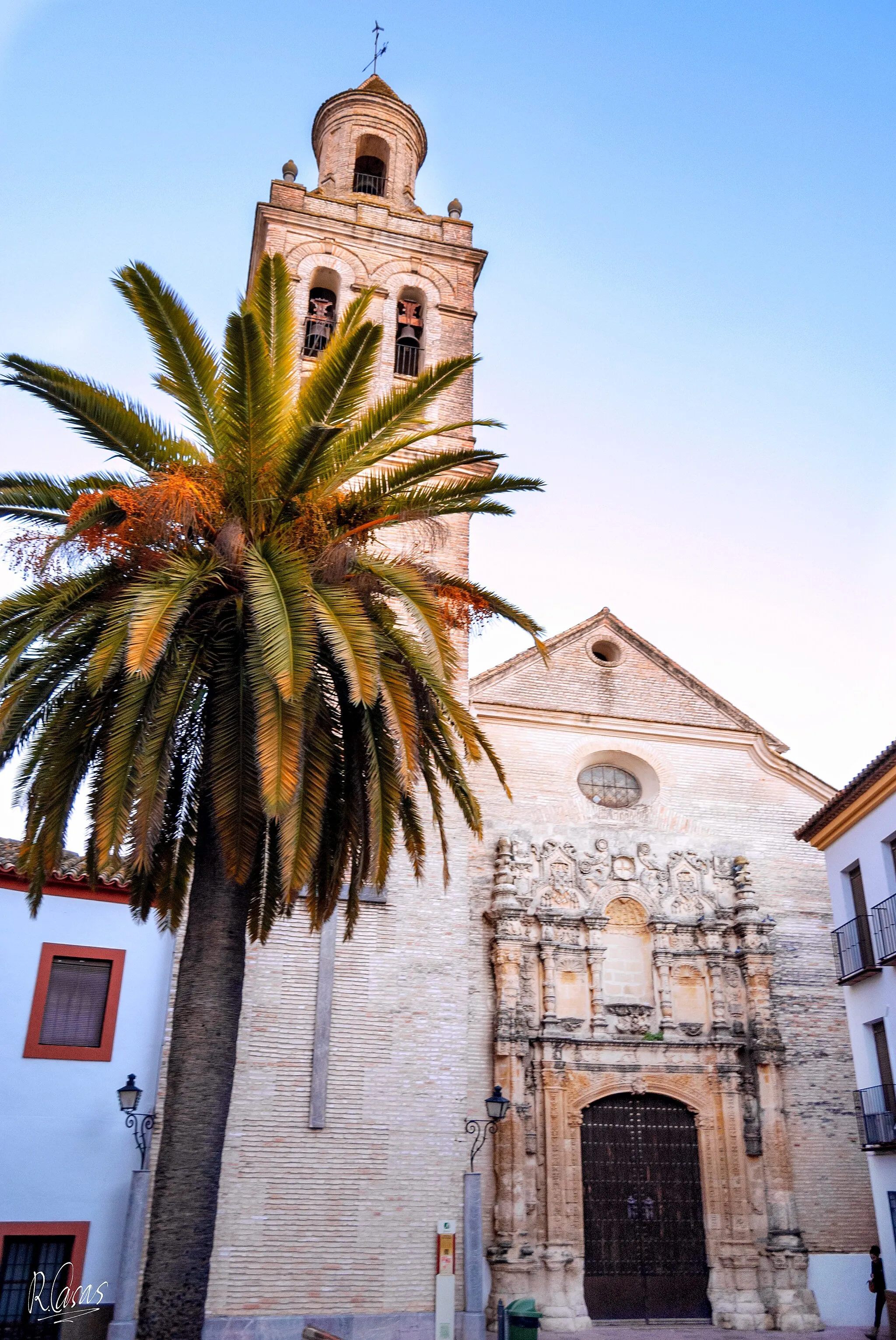
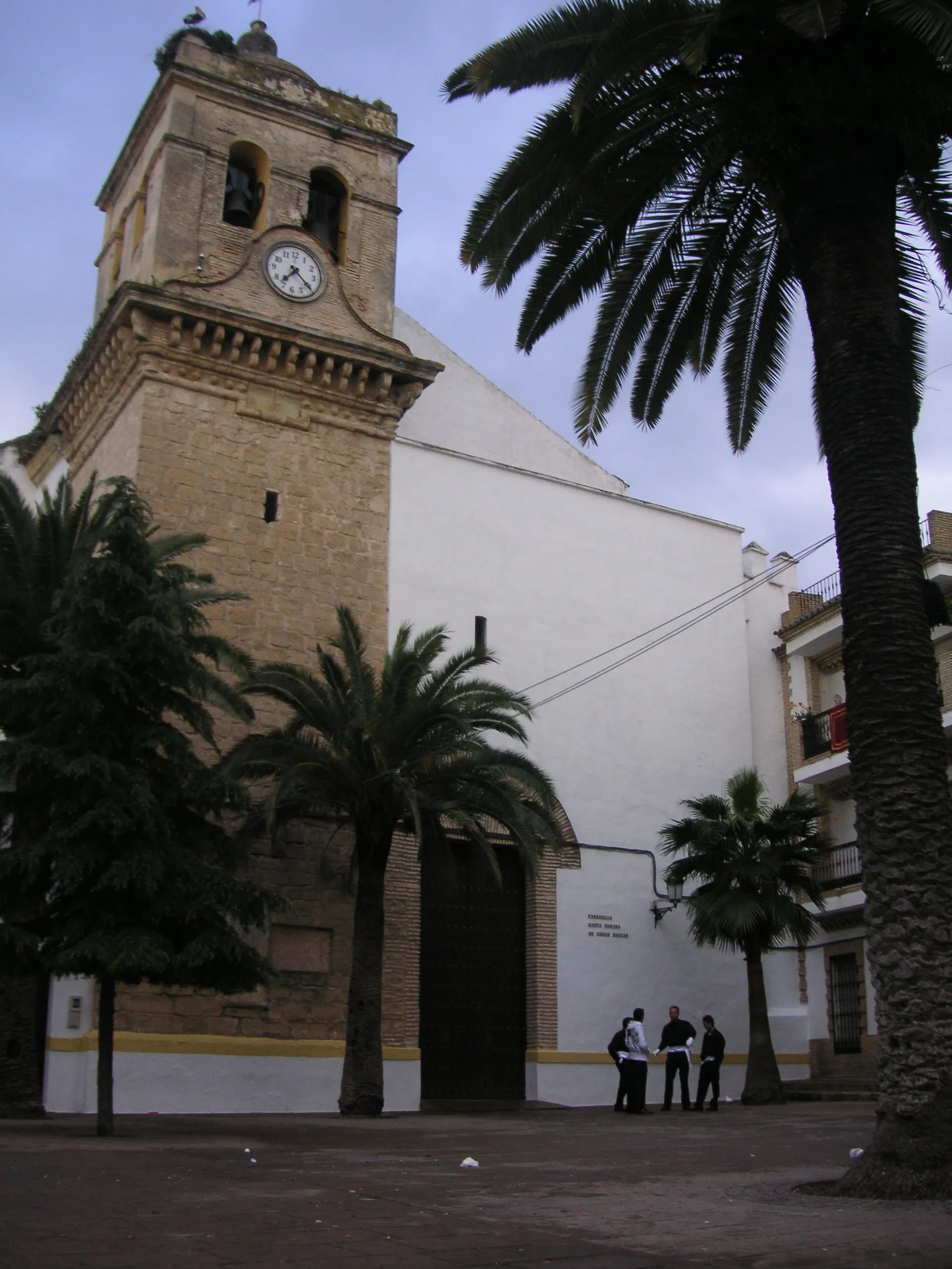
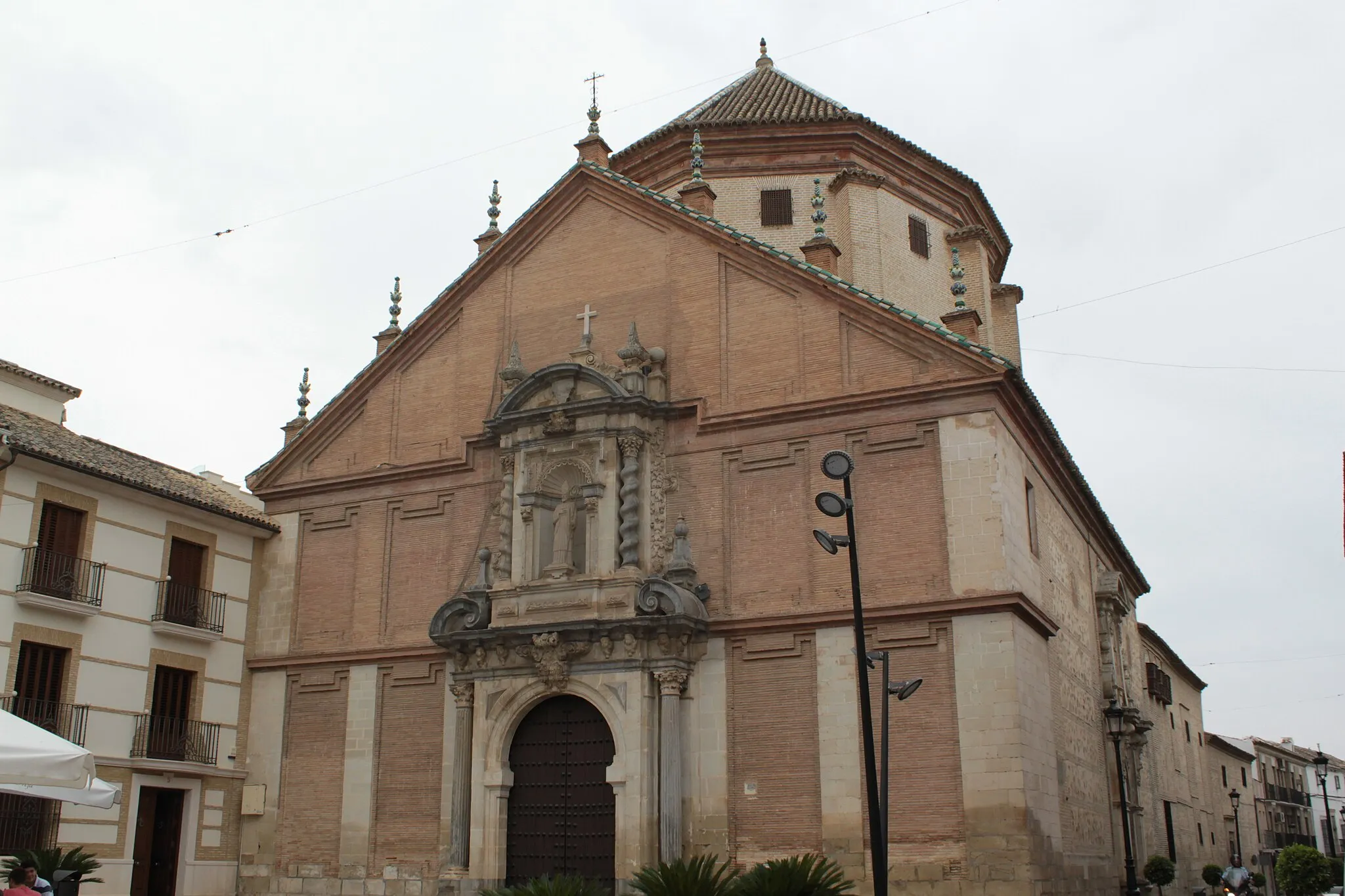
Aguilar is a town situated in the Andalucía region of Spain. For road and gravel cyclists, Aguilar offers diverse terrain options, from flat coastal routes to challenging mountainous climbs. The region boasts stunning natural landscapes, including coastal scenery, mountains, and quaint villages. Nearby, the Sierra Nevada mountain range attracts cyclists looking for high-altitude challenges. With its varied terrain and picturesque surroundings, Aguilar is a popular destination for cycling enthusiasts.
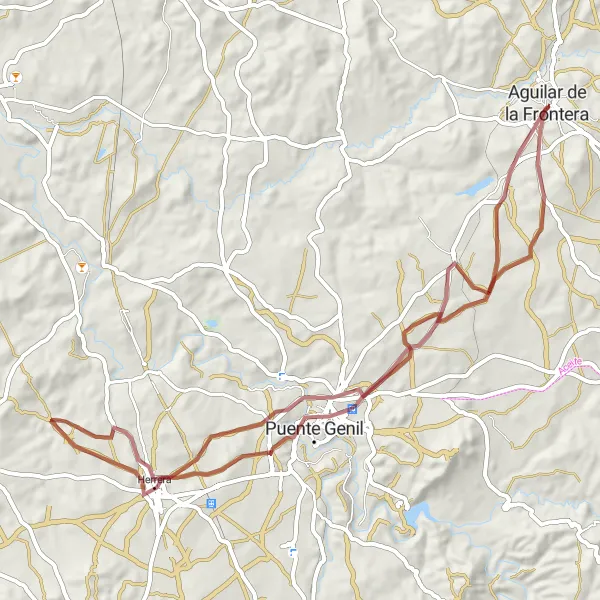
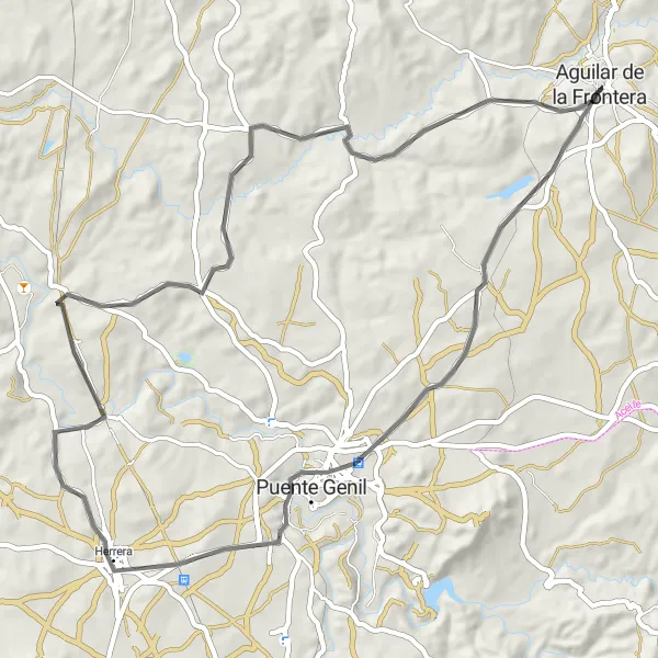
Discover the delights of Herrera and Puente Genil on this scenic gravel route to Aguilar
This scenic 71-kilometer gravel route takes you through the charming towns of Herrera and Puente Genil before reaching Aguilar. With an ascent of 680 meters, this route offers a moderately challenging ride suitable for cyclists of various skill levels. Explore the rich history and cultural heritage of these towns as you pedal through beautiful Andalusian landscapes.
Gravel Research Route
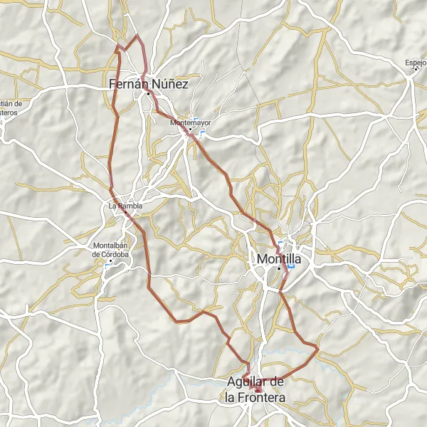
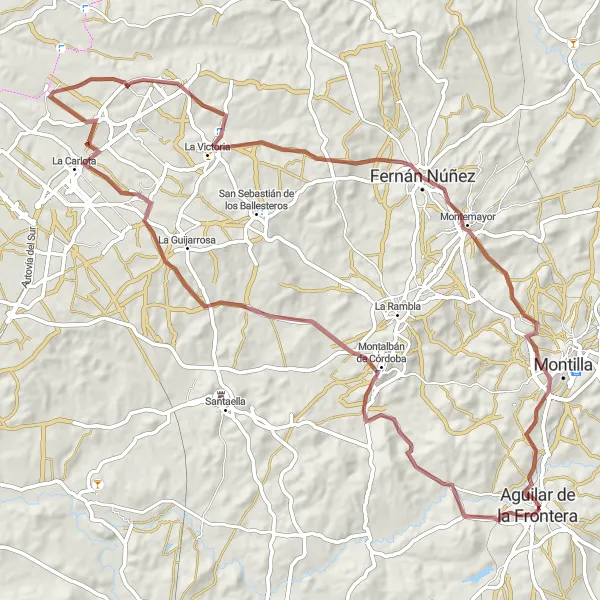
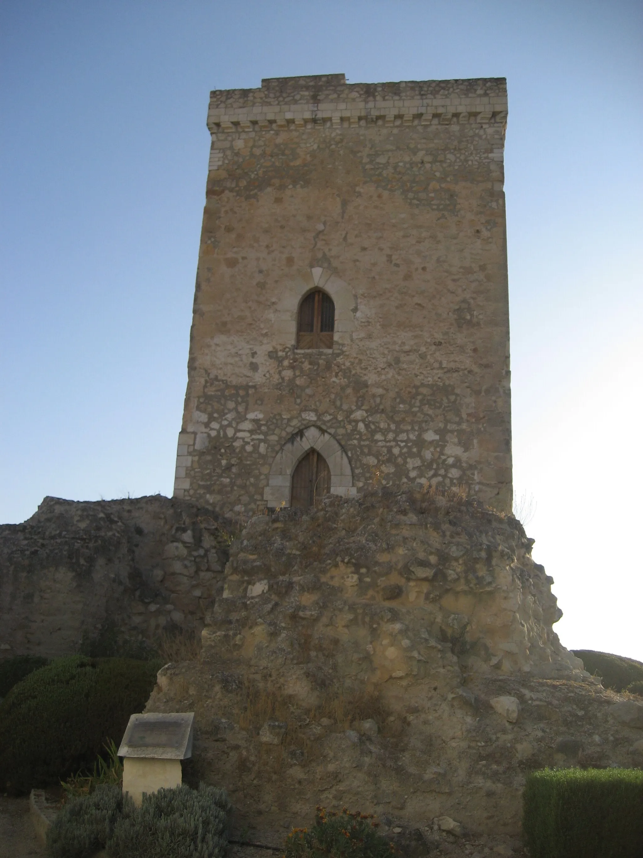
Discover the charm of Castillo de Aguilar de la Frontera
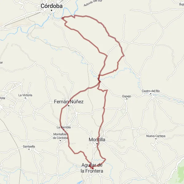
This route takes you through the scenic countryside near Aguilar, starting with the impressive Castillo de Aguilar de la Frontera. With a total distance of 57 km and an ascent of 961 m, this gravel route offers a moderate challenge for experienced cyclists. Along the way, you'll pass through La Rambla, Fernán Núñez, Mirador de la Escuchuela, Montilla, and finally return to Aguilar de la Frontera.
Conquer the challenging ascent to Mirador de la Escuchuela
Embark on a road cycling adventure with this 98 km route, featuring a significant ascent of 1285 m. Starting near Aguilar, the highlight of this route is reaching the Mirador de la Escuchuela, offering stunning panoramic views. Along the way, you'll pass through Montalbán de Córdoba, Palacio Ducal, Espejo, Montilla, and return to Aguilar de la Frontera.
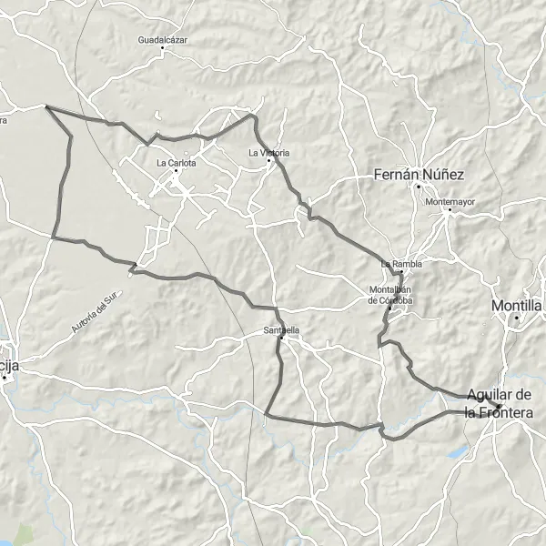
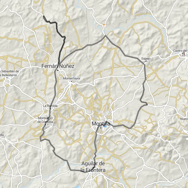
Embark on a scenic road journey through iconic towns and rolling hills near Aguilar
Delight in the scenic beauty of Andalucía as you embark on a 114-kilometer road journey to Aguilar. With an ascent of 1190 meters, this moderate difficulty route showcases the best of the region's charming towns and enchanting landscapes. Pedal through idyllic countryside and experience the timeless allure of southern Spain.
Gravel Adventure
Discover the hidden treasures of Aguilar de la Frontera
Embark on a gravel adventure on this 71 km route, featuring an ascent of 1175 m. Starting near Aguilar de la Frontera, you'll pass by the enchanting Castillo de Aguilar de la Frontera, Mirador de la Escuchuela, Espejo, and Castillo de Castro del Rio. Get off the beaten path and explore the beauty of the Andalusian countryside.
Historical Route

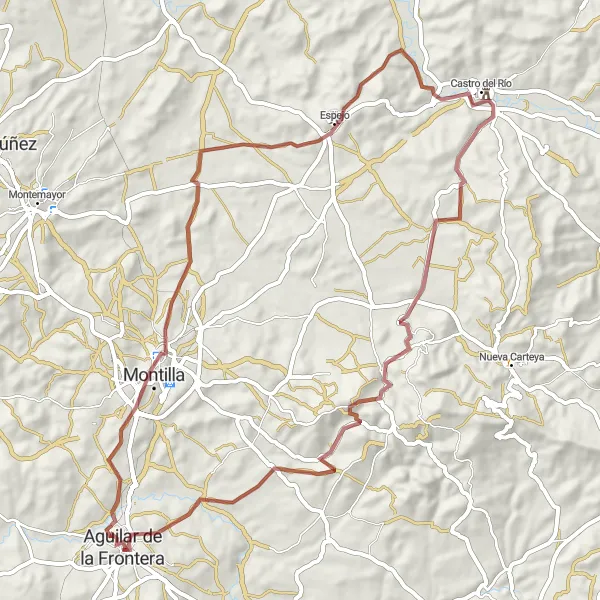
Explore the heritage of neighboring towns
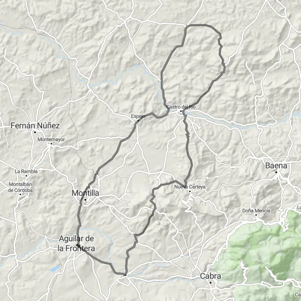
Travel through history with this 70 km road cycling route, featuring an ascent of 1018 m. Starting near Aguilar, you'll visit the Castillo de Montilla, Mirador de la Escuchuela, Espejo, and Castillo de Castro del Rio. The route ends in Aguilar de la Frontera, where you can immerse yourself in its rich historical atmosphere.
Embark on a magical gravel journey through charming towns and idyllic landscapes near Aguilar
This gravel route takes you on a 91-kilometer adventure through enchanting towns near Aguilar. With an ascent of 1113 meters, this journey offers a moderate challenge suitable for intermediate cyclists. Immerse yourself in the beauty of Andalucía as you pass through quaint villages and experience the region's rich cultural heritage.
Immerse yourself in the rural beauty of Andalucía
Experience the tranquility of the Andalusian countryside on this 67 km road cycling route. With an ascent of 706 m, this scenic loop takes you through Puente Genil, Herrera, Isla Redonda-La Aceñuela, and returns to Aguilar de la Frontera. Discover the charm of the small towns along the way and soak in the natural beauty of the surroundings.
Aguilar Gravel Adventure
Discover the picturesque countryside of Aguilar on a thrilling gravel ride
Embark on a challenging gravel ride through the enchanting landscapes near Aguilar. With 1709 meters of ascent spread across 125 kilometers, this route is perfect for gravel enthusiasts seeking a thrilling adventure. The scenic highlights along the way will leave you in awe of Andalucía's natural beauty.
Embark on an exhilarating road cycling adventure to Aguilar and witness the allure of Andalucía
Indulge in a thrilling road cycling adventure as you traverse 107 kilometers of diverse landscapes on your way to Aguilar. With an ascent of 1585 meters, this challenging route is tailored for experienced cyclists seeking an immersive journey. Along the way, you'll encounter captivating highlights and experience the true essence of Andalucía.
Cycling routes nearby:


Nearby regions: