Scenic Road Loop around Algarinejo
A road cycling route starting from Algarinejo
Experience the beauty of Algarinejo and its surroundings on this scenic road cycling route
Map
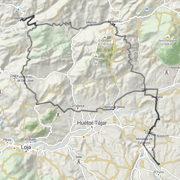
This road cycling route takes you on a scenic journey around Algarinejo, offering breathtaking views and charming villages. With a total ascent of 1905 meters and a distance of 105 kilometers, this route is suitable for intermediate to experienced road cyclists.
road
105 km
1905 m
Tough
Route profile
Highlights on the route
0 km
0 km
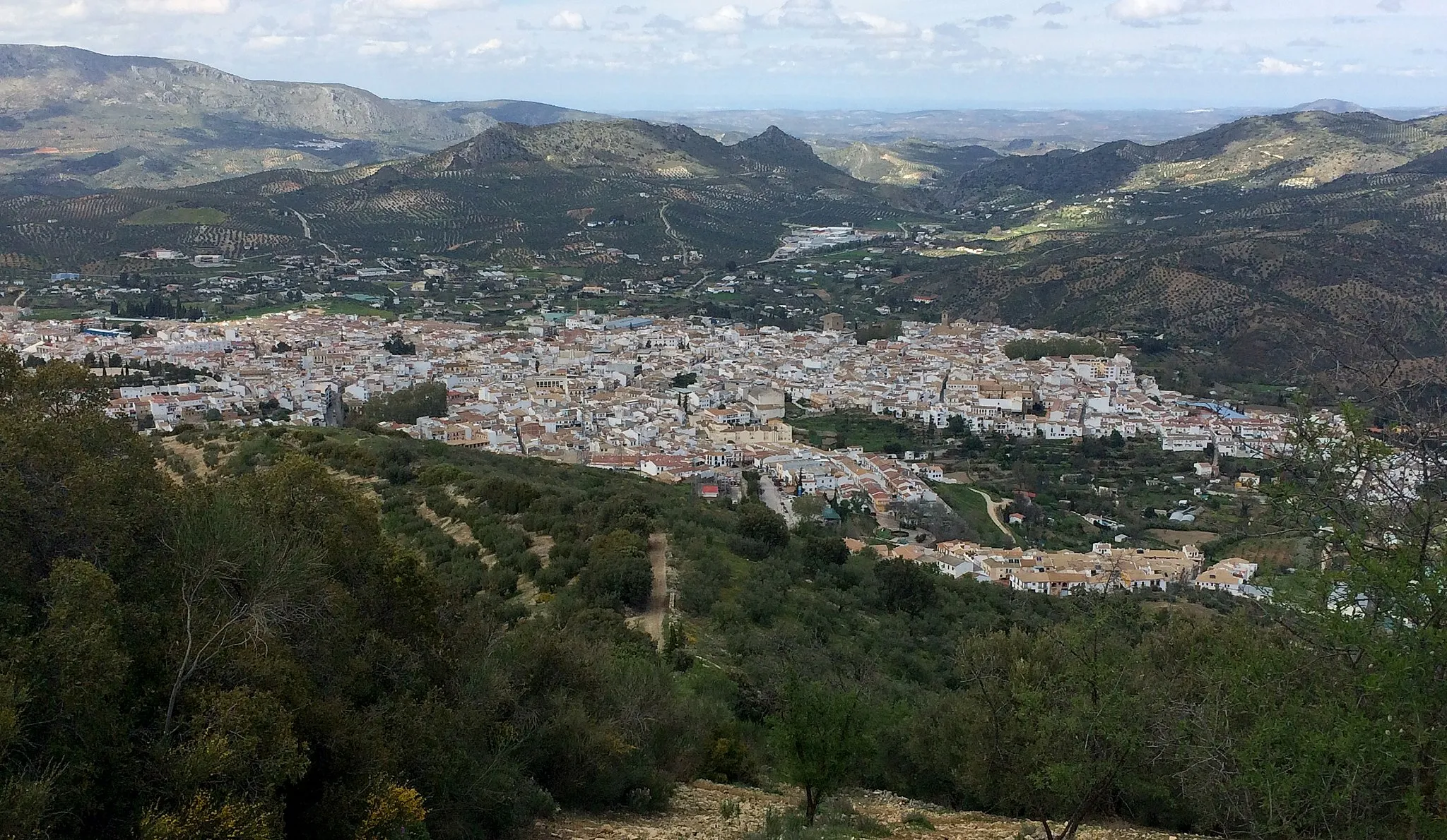
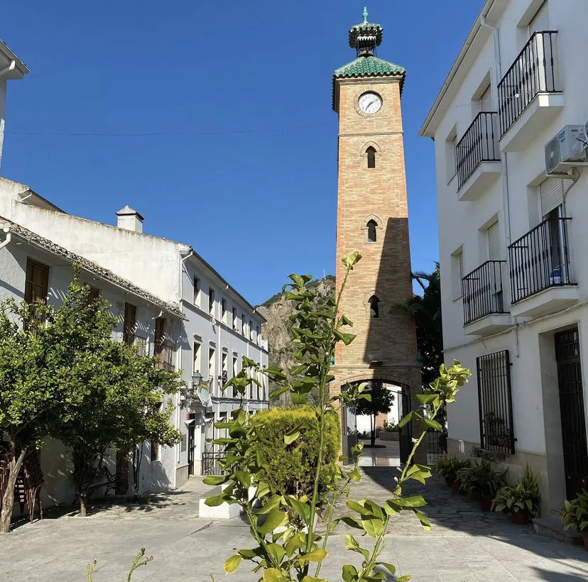
Start: Algarinejo Village centerAlgarinejo: Cycling paradise in Andalucía
Algarinejo is a beautiful locality located in Andalucía, Spain. As a road and gravel cyclist, you will find plenty of scenic routes to explore in this area. The roads are well-maintained and the surrounding landscape is breathtaking, with rolling hills and picturesque views. Algarinejo is also known for its olive groves and you can take a cycling tour to visit the local olive oil mills and taste the renowned Andalusian olive oil. Nearby, you will find the Subbética Natural Park, which offers great opportunities for mountain biking. Overall, Algarinejo is a wonderful destination for cyclists who want to immerse themselves in the stunning countryside of Andalucía.54 km
54 km
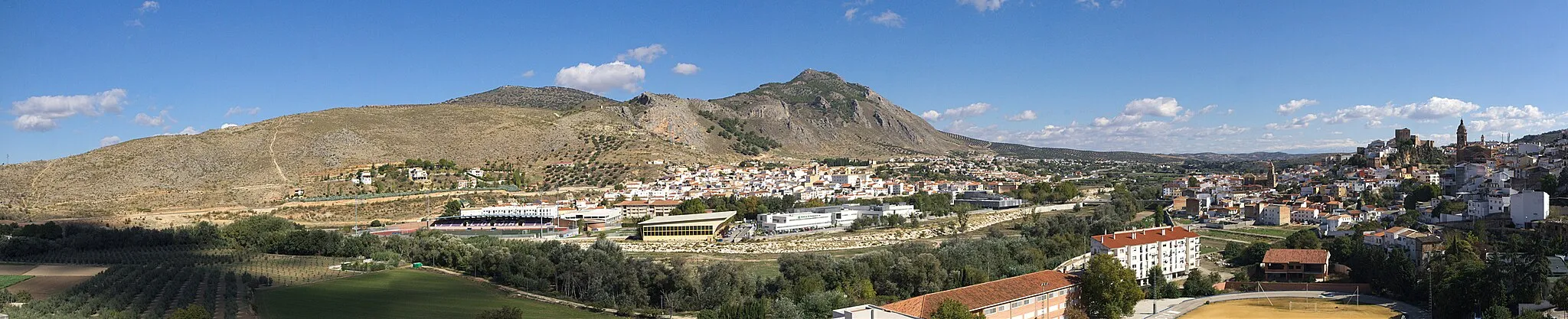
Moraleda de ZafayonaVillageMoraleda de Zafayona is a tranquil village tucked away in the mountains. Stop by and enjoy the serenity of this hidden gem.
65 km
65 km
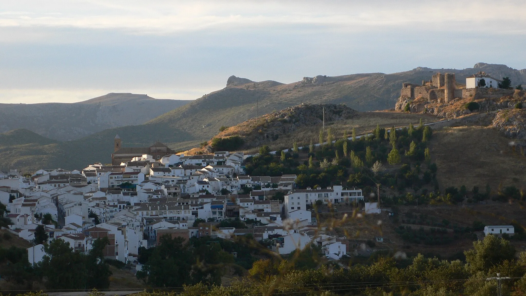
TocónVillageTocón is a charming village known for its traditional architecture and friendly locals. Take a break and immerse yourself in the local culture.
72 km
72 km
Cerro de la Autora557 mPeakCerro de la Autora is a challenging climb with stunning views of the surrounding landscapes. Challenge yourself and conquer this iconic climb.
89 km
89 km
Cerro Redondo835 mPeakCerro Redondo is a prominent hill that offers panoramic views of the countryside. Take a moment to appreciate the beauty of the natural surroundings.
105 km
105 km
Finish: Algarinejo Village centerAlgarinejo: Cycling paradise in Andalucía
Cycling routes from Algarinejo:
Andalucía's Mountainous Road Adventure Scenic Road Cycling Route near Algarinejo Priego de Córdoba Gravel Adventure Scenic Road Loop around Algarinejo Ultimate Road Cycling Adventure in Andalucía Algarinejo and Surroundings Gravel Route Andalucian Cycling Adventure Priego de Córdoba Gravel Loop Scenic Gravel Routes around Algarinejo The Gravel Route to Algarinejo
Cycling routes nearby: