Cycling Bliss in Andalucía: Discover Montefrío
Cycling routes from Montefrio
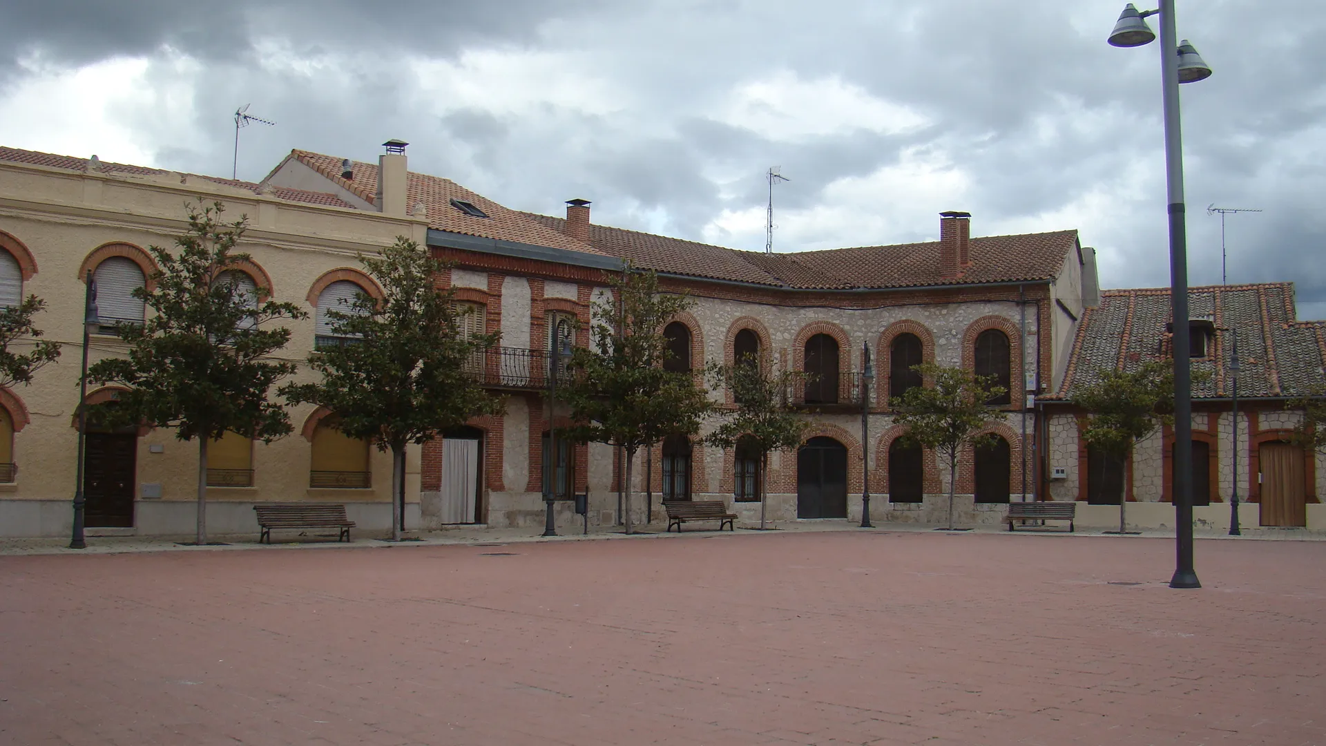
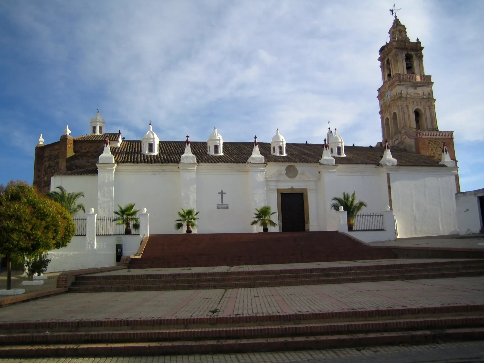
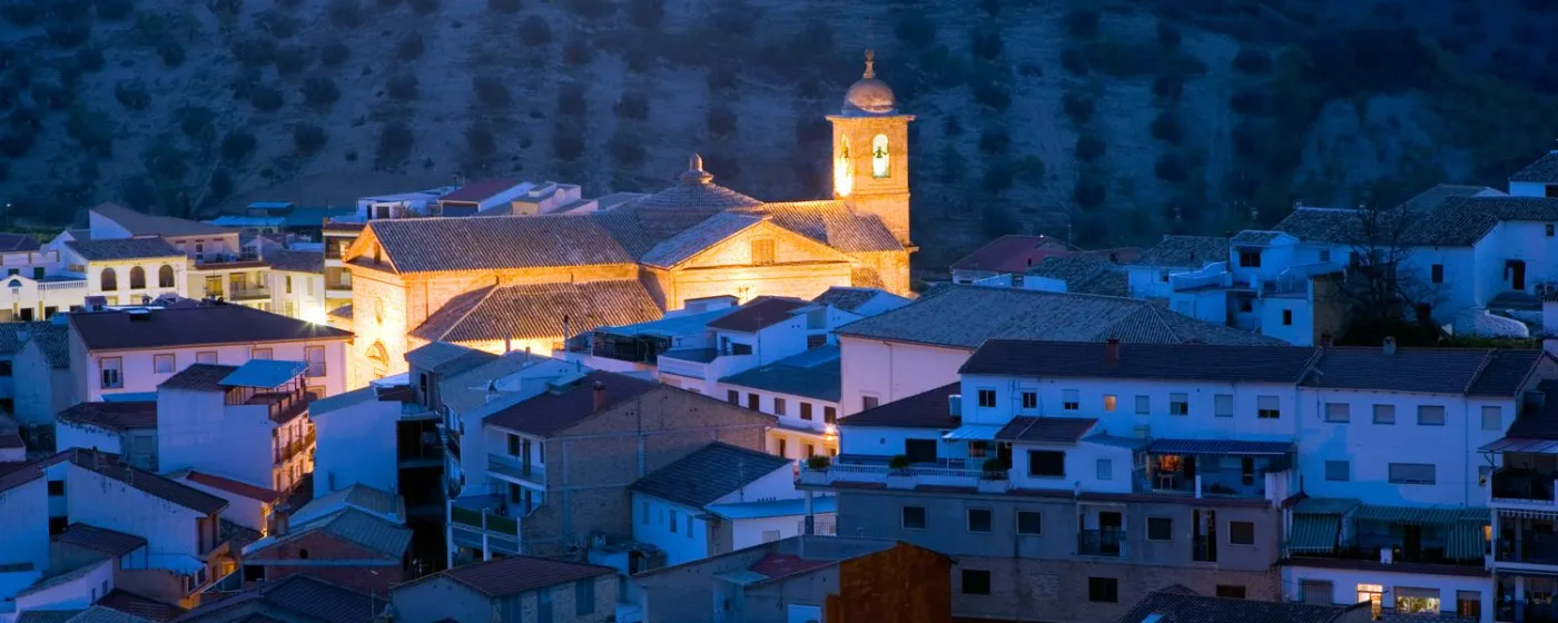
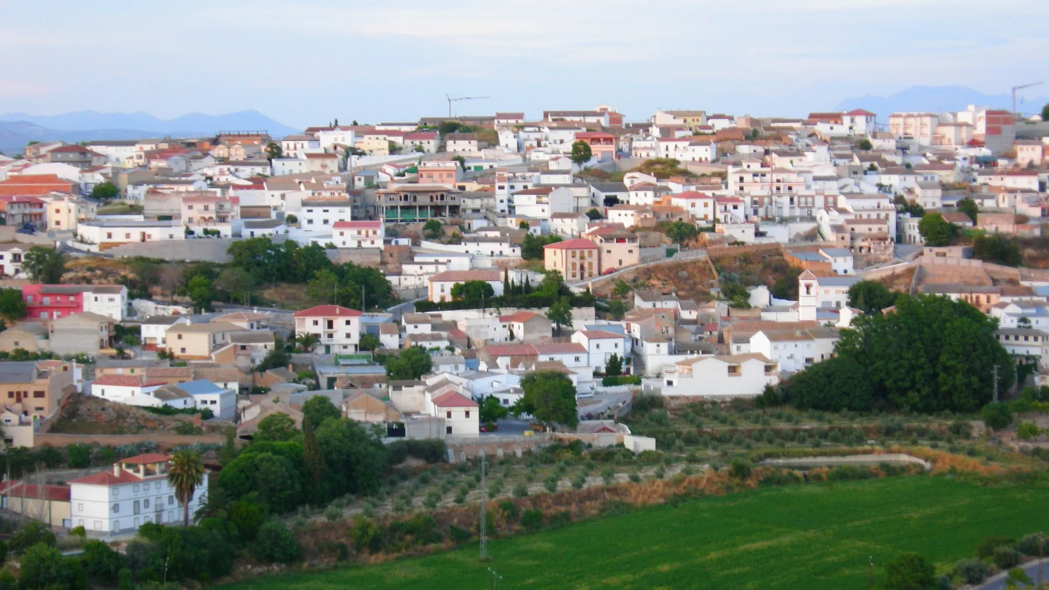
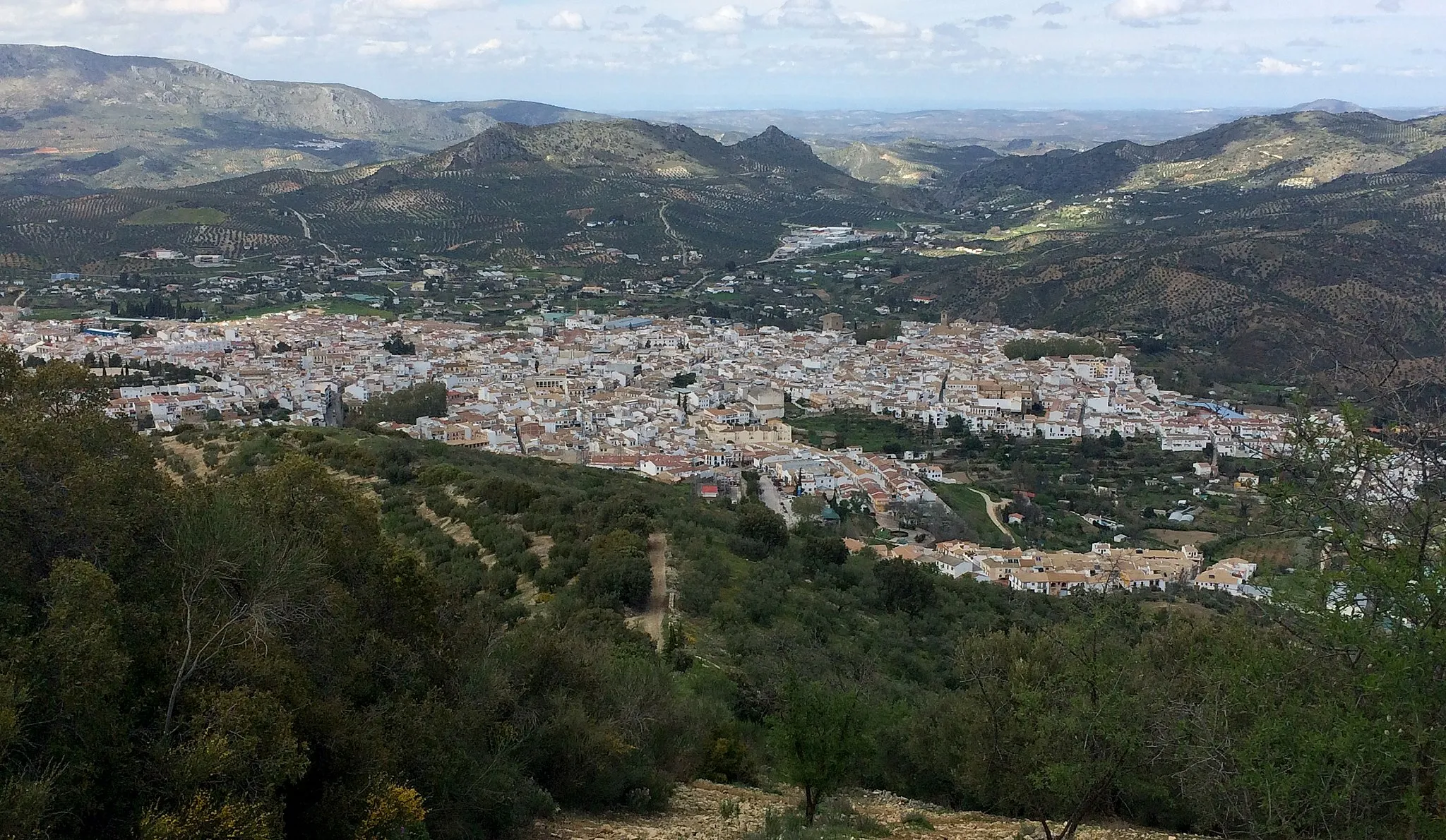
Montefrío in Andalucía, Spain is a cyclist's paradise with its breathtaking landscapes and cycling-friendly atmosphere. Surrounded by stunning mountains, olive groves, and picturesque villages, Montefrío offers diverse routes for road and gravel cyclists. The region is home to famous climbs like Puerto de Arrozino, attracting passionate cyclists from around the world. Cyclists can enjoy thrilling descents, challenging ascents, and immerse themselves in the rich culture and history of the area. With its remarkable cycling spots and natural beauty, Montefrío is a top destination for cyclists seeking unforgettable experiences.
Scenic Gravel Ride to Montefrío

Experience the beauty of Andalucía on this scenic gravel ride to Montefrío.
Meander through picturesque landscapes on this gravel route with a total ascent of 1213m. Highlights include the National Geographic viewpoint, Cerro de Mingoandrés, and the quaint town of Puerto Lope. Enjoy stunning views and challenging climbs on this adventure suitable for gravel bikes.
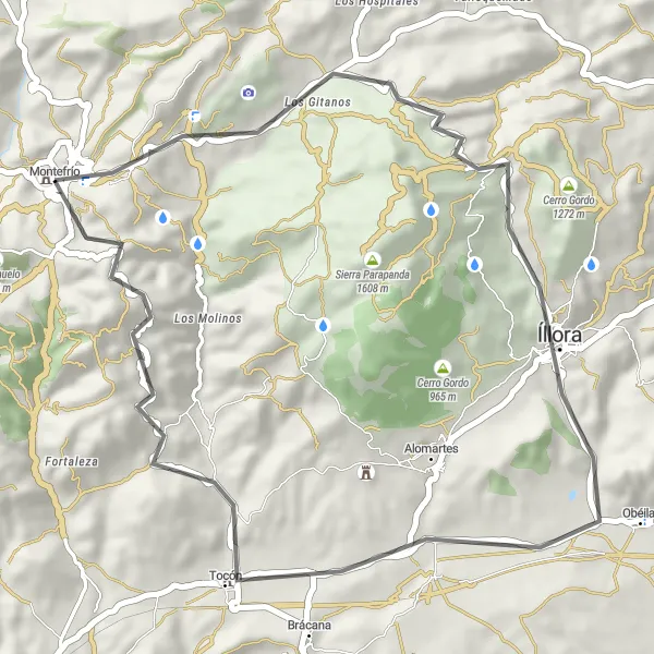
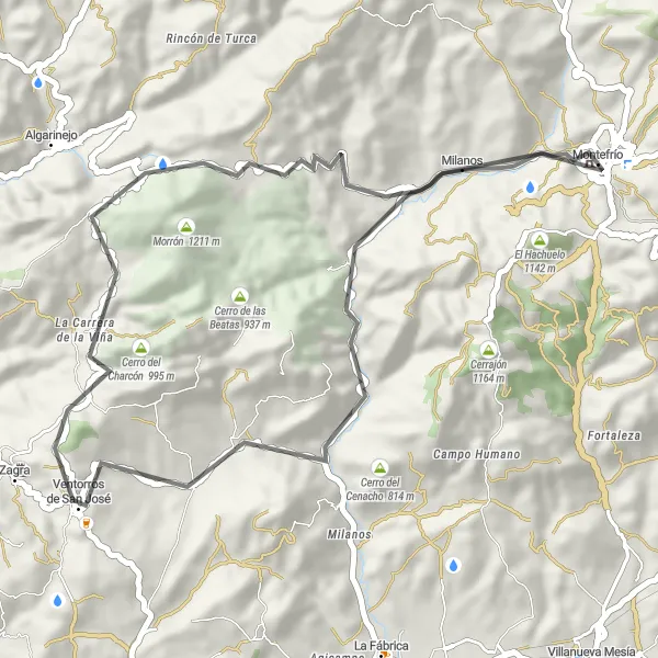
A scenic 46km road cycling route with highlights including Peña de los Gitanos and Tocón.
Immerse yourself in the authentic beauty of Andalucía with this stunning road cycling escape. Journey through 46km of picturesque landscapes, passing by hidden gems like Peña de los Gitanos and Tocón. Discover the unique charm of Íllora along the way and marvel at the spectacular views from the National Geographic Viewpoint in Montefrío.

Embark on a gravel adventure to Montefrío and discover hidden gems along the way.
This gravel route takes you through diverse terrain, with a total ascent of 1217m. Starting from Montefrío, highlights along the way include the National Geographic viewpoint, the ancient cave peña de los Gitanos, and the picturesque town of Íllora. This adventurous route is suitable for gravel bikes and offers a mix of challenging climbs and scenic landscapes.
Montefrío Adventure Loop

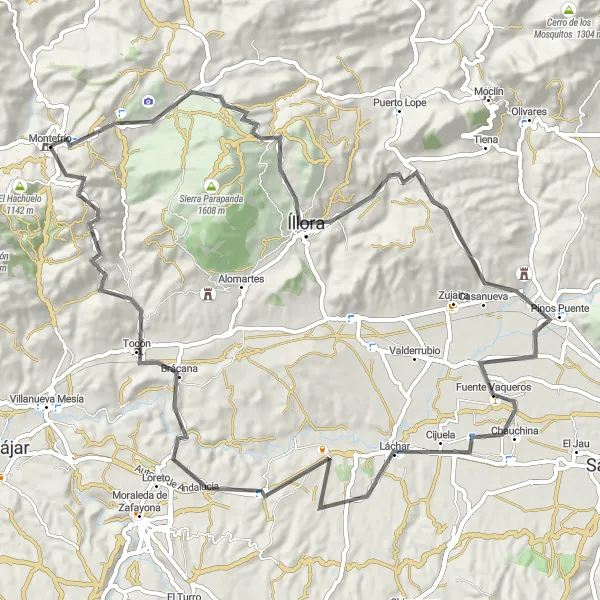
Embark on an adventurous loop starting from Montefrío and experience the diverse landscapes of Andalucía.
This road route offers an exciting adventure with a total ascent of 1514m. Highlights along the way include Montefrío, Íllora, Láchar, Moraleda de Zafayona, and Torre de Tocón. Enjoy challenging climbs, historic landmarks, and stunning views on this epic cycling journey.
Discover the stunning Montefrío and take in the breathtaking views from the famous National Geographic viewpoint.
Cycle this road route from Montefrío to enjoy a challenging ride with a total ascent of 890m. The highlight of this route is the National Geographic viewpoint that offers panoramic views of the surrounding area. This route is suitable for road bikes and is ideal for experienced cyclists looking for a demanding ride with rewarding views.
Montefrío Scenic Gravel Route
Embark on a scenic gravel cycling journey around Montefrío
This 46 km gravel cycling route starting near Montefrío takes you on an off-road adventure through the picturesque landscapes of Andalucía. Enjoy the stunning views of Montefrío, explore the Loma de las Granjas, and conquer the challenging Cerro Redondo. The difficulty level is rated as 3, suitable for experienced gravel cyclists. With an epicness score of 3, this route offers a combination of natural beauty and thrilling terrain.
Take on the challenge of road cycling in Montefrío and conquer exhilarating climbs along the way.
This road route provides a satisfying challenge with a total ascent of 1420m. Highlights include Peña de los Gitanos, Íllora, Pinos Puente, Chauchina, Fuensanta, Torre de Tocón, and the famous National Geographic viewpoint. Experience adrenaline-pumping climbs, scenic landscapes, and notable landmarks on this demanding ride.
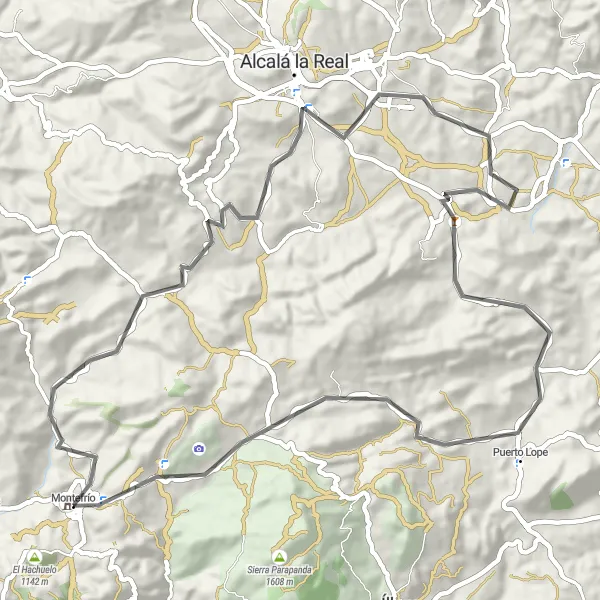
Experience the stunning Andalucian landscapes on this epic road cycling route starting near Montefrío
This 101 km road cycling route starting near Montefrío takes you through the picturesque Andalucian countryside, offering breathtaking views and challenging ascents. Enjoy the iconic Castillo de Montefrío, Balcón del Adarve, and Priego de Córdoba along the way. The difficulty level is rated as 4, suitable for very well-trained amateurs. With an epicness score of 4, this route is perfect for cyclists seeking a memorable experience.

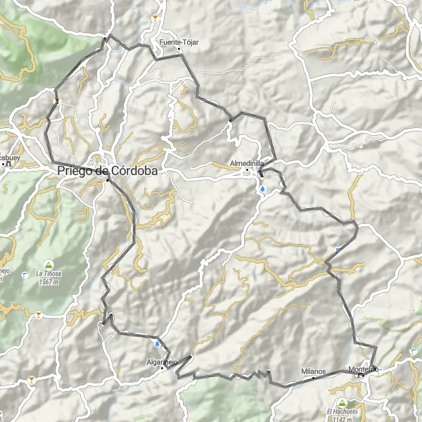
Embark on a 58km gravel cycling adventure with highlights including Almedinilla and Montefrío.
Escape the beaten path and discover the hidden treasures of Andalucía with this thrilling gravel adventure. Explore the historic town of Almedinilla, known for its stunning archaeological sites and rich Roman history. Immerse yourself in the rugged beauty of the landscape as you cycle through 58km of challenging terrain. Finally, soak in the enchanting atmosphere of Montefrío, with its medieval charm and panoramic views.
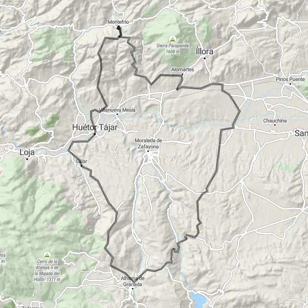
Embark on a 120km road cycling adventure through the challenging terrains of Láchar, Cacín, Alhama de Granada, Salar, and Limones.
Prepare yourself for an exciting and demanding road cycling experience through some of the most challenging terrains in Andalucía. With a total ascent of 2278m, this epic route takes you through picturesque villages like Láchar, Cacín, and Alhama de Granada. Soak in the stunning views from Mirador de Alhama and explore the beauty of Salar and Limones. It's an unforgettable journey for experienced cyclists who love a challenge.
Cycling routes nearby:


Nearby regions: