Cycling paradise in Andalucía
Cycling routes from Algarinejo
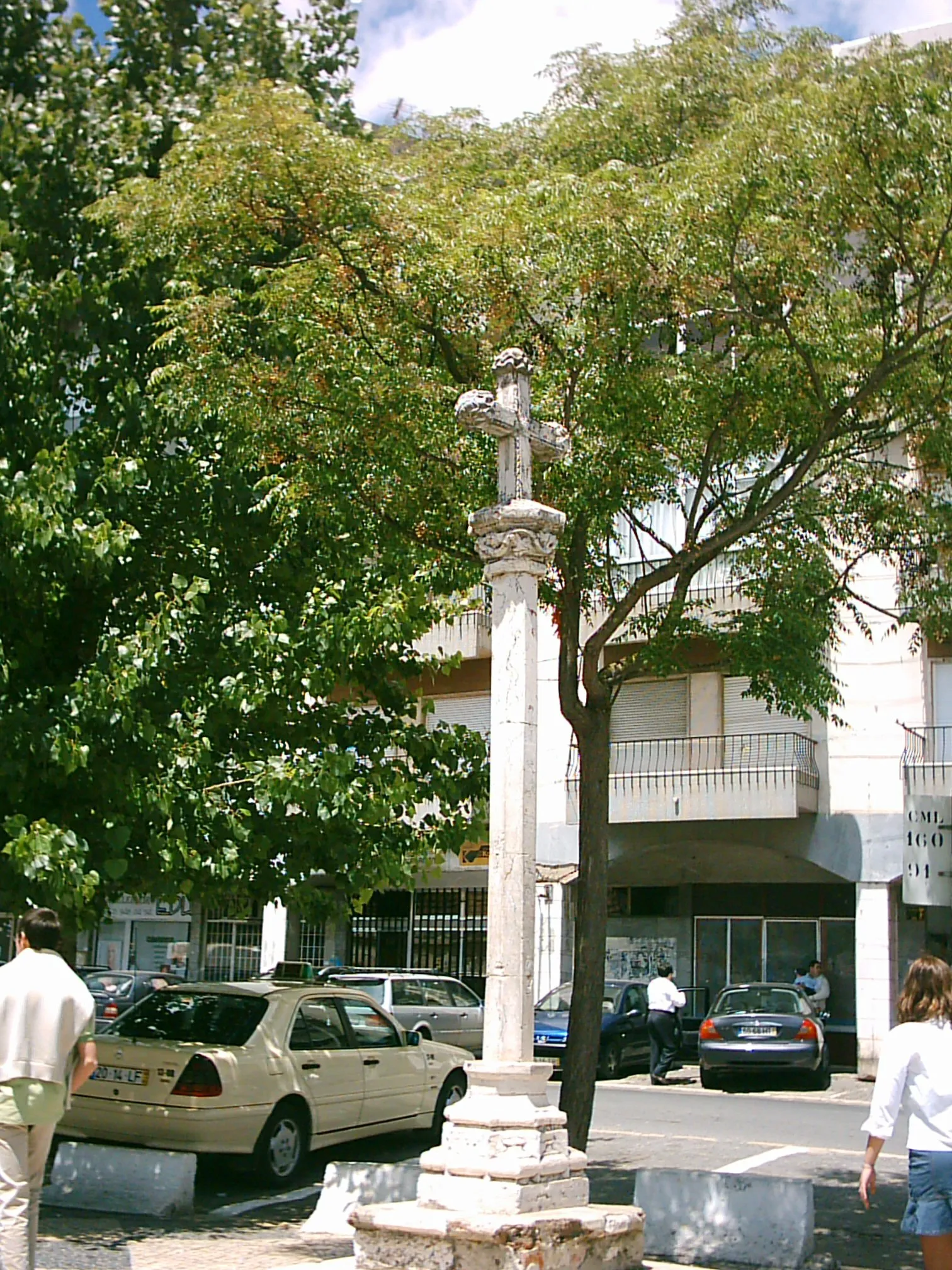
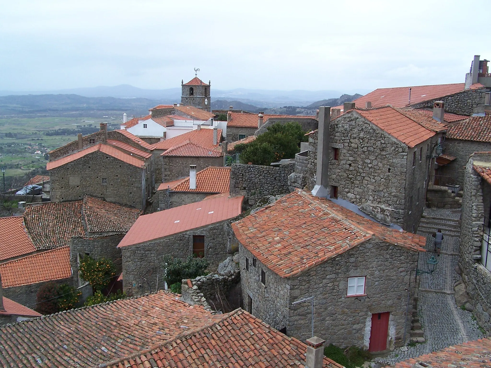
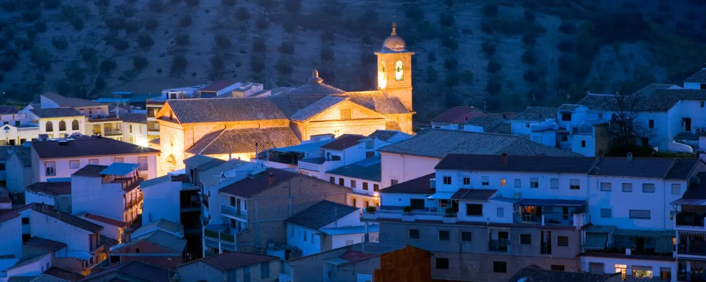
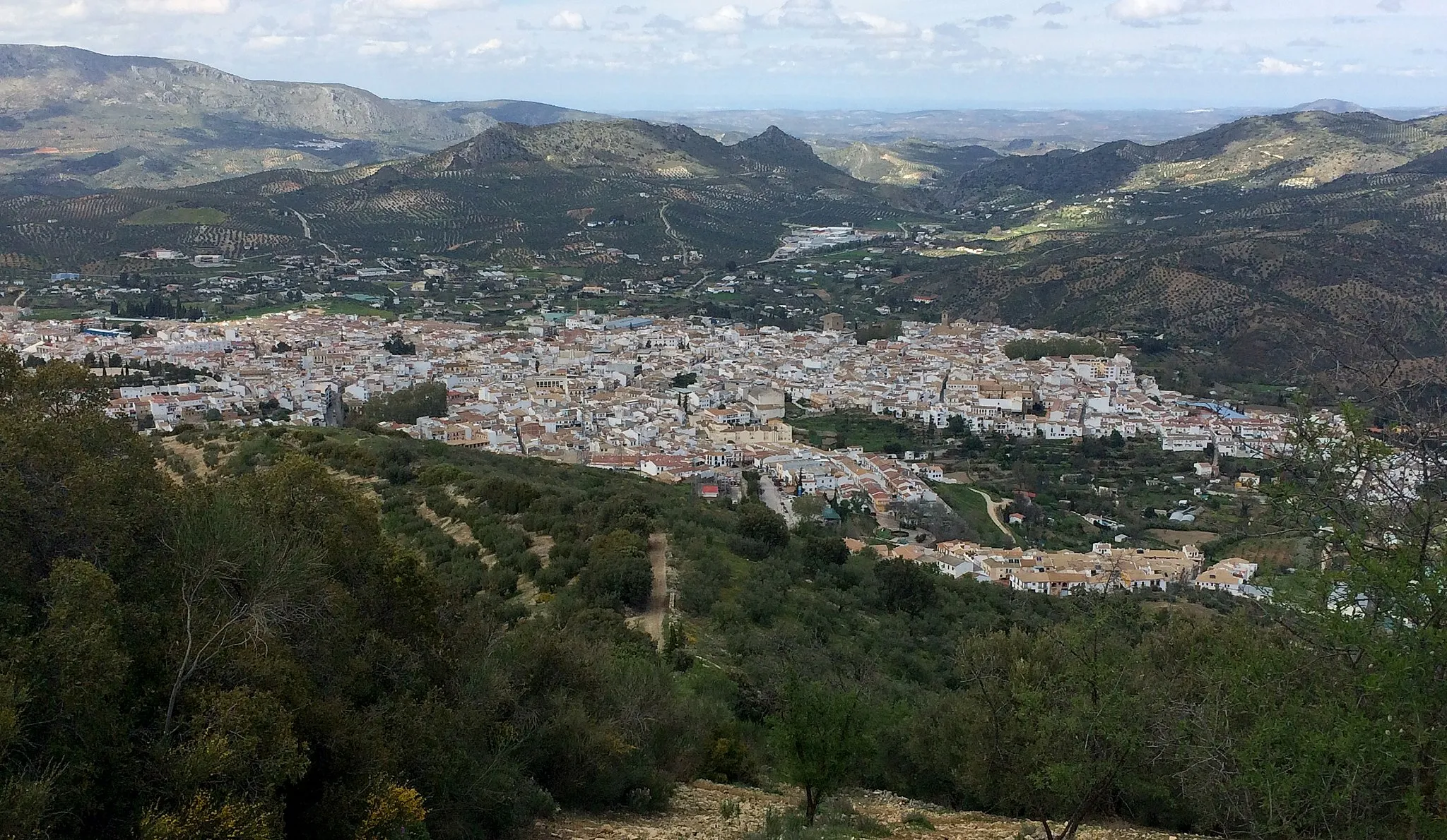
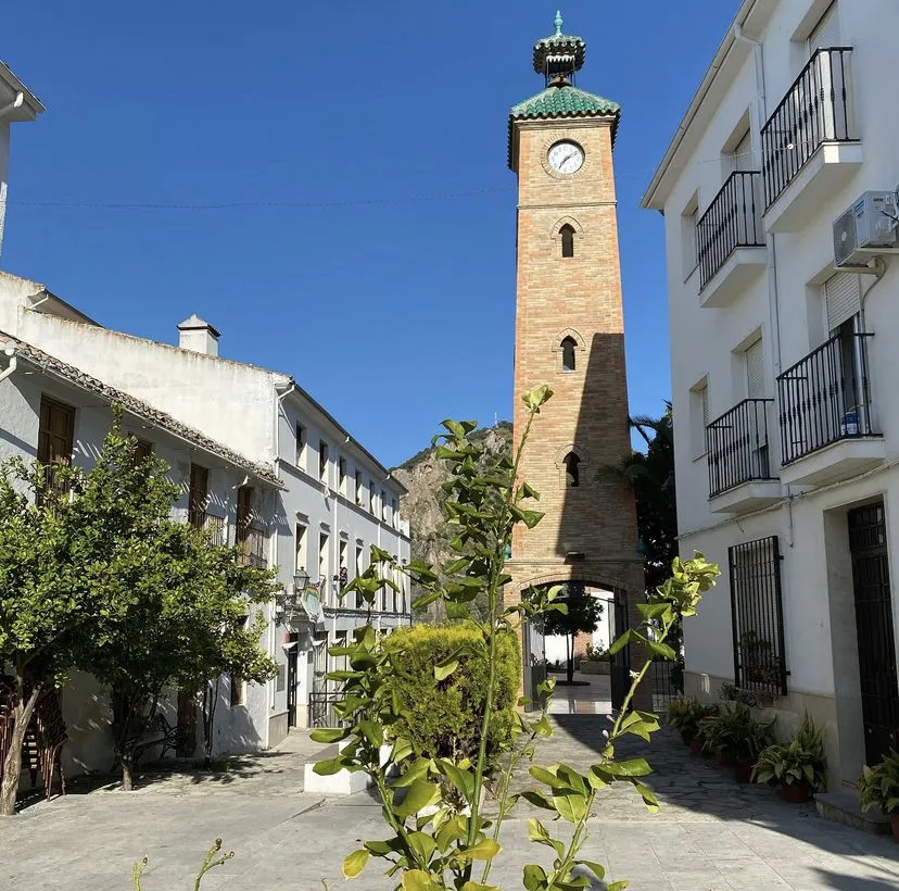
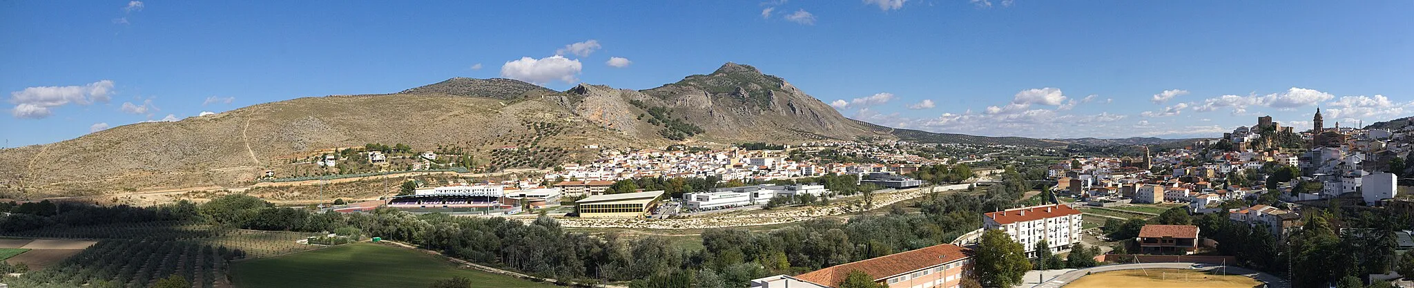
Algarinejo is a beautiful locality located in Andalucía, Spain. As a road and gravel cyclist, you will find plenty of scenic routes to explore in this area. The roads are well-maintained and the surrounding landscape is breathtaking, with rolling hills and picturesque views. Algarinejo is also known for its olive groves and you can take a cycling tour to visit the local olive oil mills and taste the renowned Andalusian olive oil. Nearby, you will find the Subbética Natural Park, which offers great opportunities for mountain biking. Overall, Algarinejo is a wonderful destination for cyclists who want to immerse themselves in the stunning countryside of Andalucía.
Embark on an epic road cycling adventure through the beautiful landscapes of Andalucía.
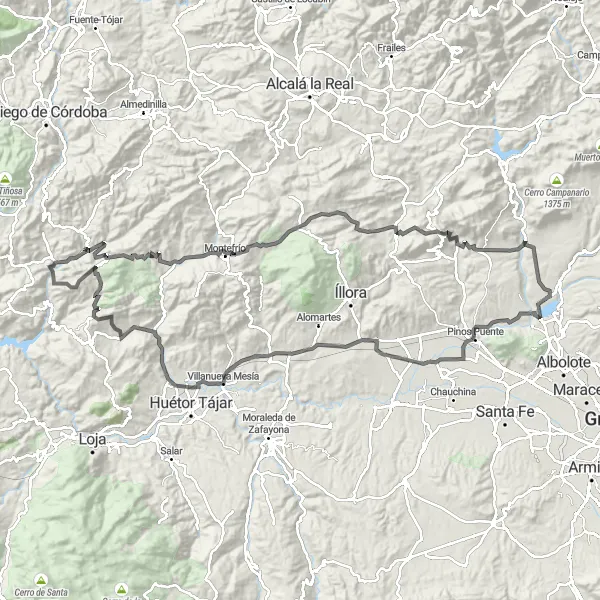
Prepare for an epic road cycling adventure with this 138-kilometer route starting near Algarinejo. With a total ascent of 2,295 meters, you'll experience a challenging yet rewarding ride through the picturesque surroundings. Make a stop at Morrón de Catena, approximately 43 kilometers into the route, and be rewarded with stunning panoramic views of the surrounding mountains and countryside. It's a perfect spot to soak in the beauty of the natural landscapes. Another highlight along the way is Moclín, located 44 kilometers into the route. This enchanting town offers a harmonious blend of history, culture, and natural beauty. Take some time to explore its charming streets and visit the ancient fortresses perched atop the hills.

Indulge in the scenic beauty of Andalucía on this road cycling route near Algarinejo.
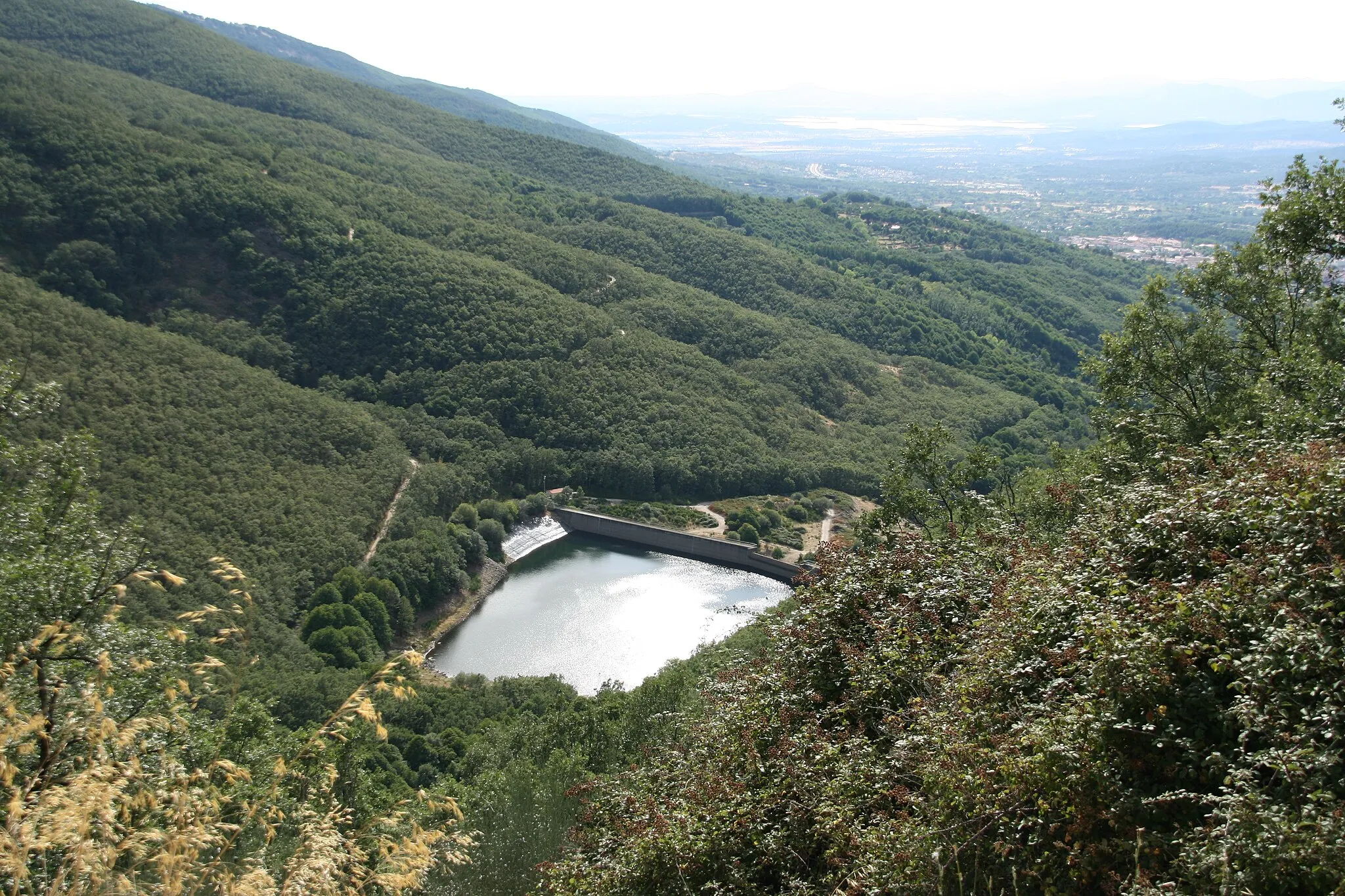
Immerse yourself in the natural beauty of Andalucía as you embark on this 65-kilometer road cycling adventure. With a total ascent of 1,295 meters, this route offers a satisfying challenge while exploring the picturesque surroundings. Start your journey at La Fuente Grande, approximately 15 kilometers into the route. Revel in the tranquility and serene atmosphere of this stunning natural spring. Discover Casa de los Oficios, a historical building situated 45 kilometers into the route. Take a moment to admire its architecture and gain insight into the region's cultural heritage. Make a stop at the National Geographic Viewpoint, located 46 kilometers into the route, and marvel at the breathtaking panoramic views of the surrounding landscapes.
Embark on a challenging road cycling journey through the scenic landscapes of Andalucía
This road cycling route offers a thrilling adventure through the diverse landscapes of Andalucía. With a total ascent of 2351 meters and a distance of 148 kilometers, this route is suitable for experienced road cyclists.
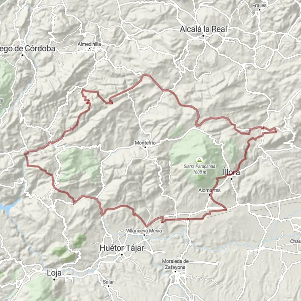
Experience the beauty of Algarinejo and its surroundings on this scenic gravel route.
Explore the scenic routes starting near Algarinejo with this 84-kilometer gravel adventure. With a total ascent of 2,223 meters, you'll have a challenging yet rewarding cycling experience. Begin your journey in Algarinejo and make your way to Cerro Redondo, a picturesque spot approximately 13 kilometers into the route. Take a moment to appreciate the stunning views of the surrounding countryside. Another highlight along the route is Mirador Sylvania, located 26 kilometers into the route. From this viewpoint, you can enjoy mesmerizing panoramic vistas of the region's natural beauty and distant mountains.
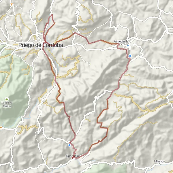
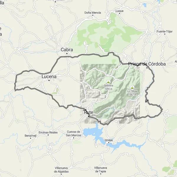
Embark on a gravel adventure through the historic town of Priego de Córdoba
This gravel cycling route takes you through the historic town of Priego de Córdoba, offering a mix of cultural and natural highlights. With a total ascent of 1383 meters and a distance of 56 kilometers, this route is suitable for intermediate gravel cyclists.
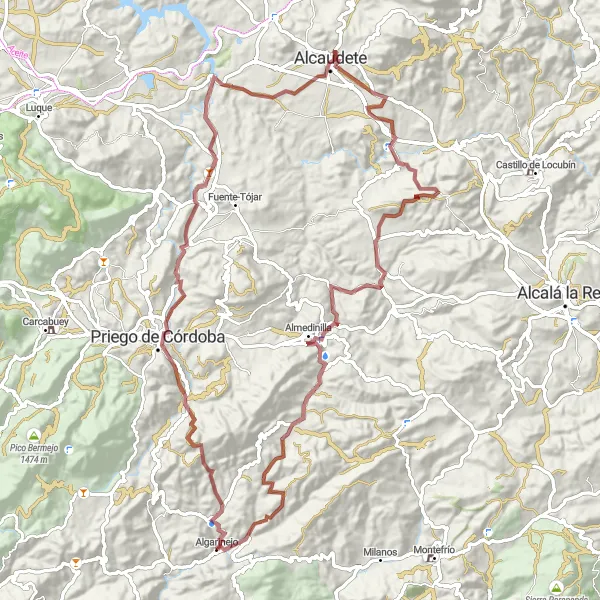
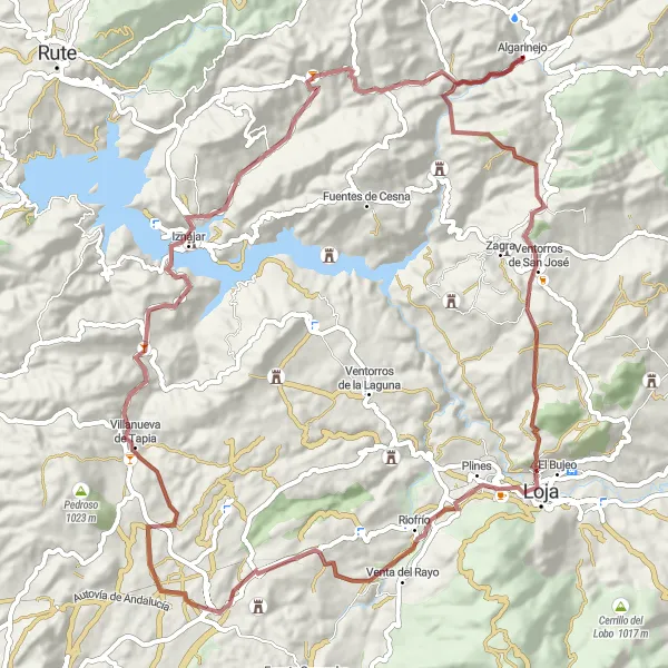
Embark on a gravel adventure and explore the historic town of Priego de Córdoba.
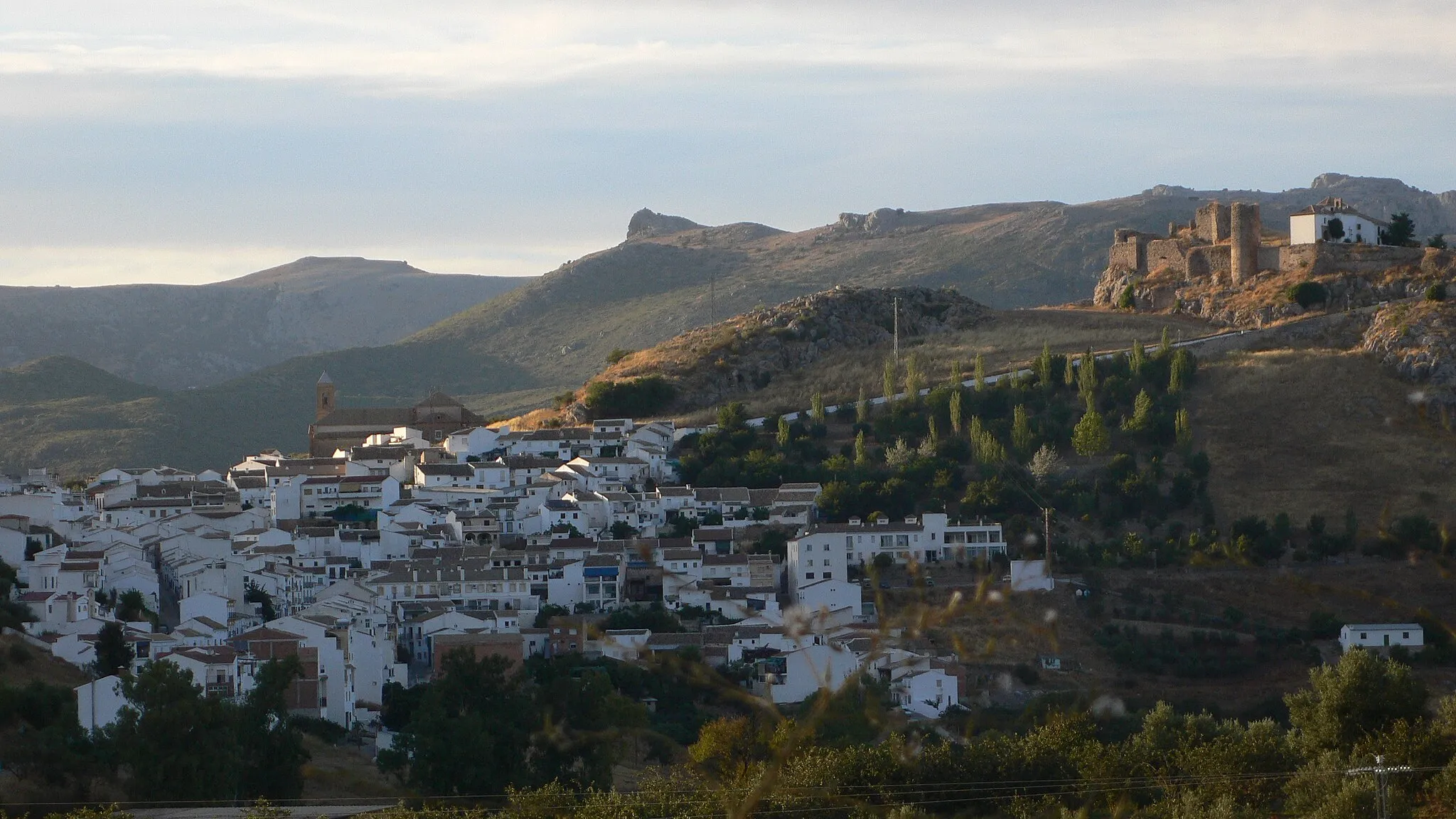
Get ready for an adventurous ride through the scenic routes near Algarinejo as you make your way to Priego de Córdoba. This gravel route covers a distance of 100 kilometers with a total ascent of 2,339 meters. Take a break and explore Castillo de Priego de Córdoba, a magnificent castle that offers a glimpse into the region's historical past. Enjoy the stunning panoramic views from the castle walls, making it the perfect spot for some memorable photos. Continue your journey to Mirador del Adarve, a viewpoint situated only 17 kilometers into the route. From here, you can soak in the breathtaking vistas of the surrounding countryside and distant mountains.
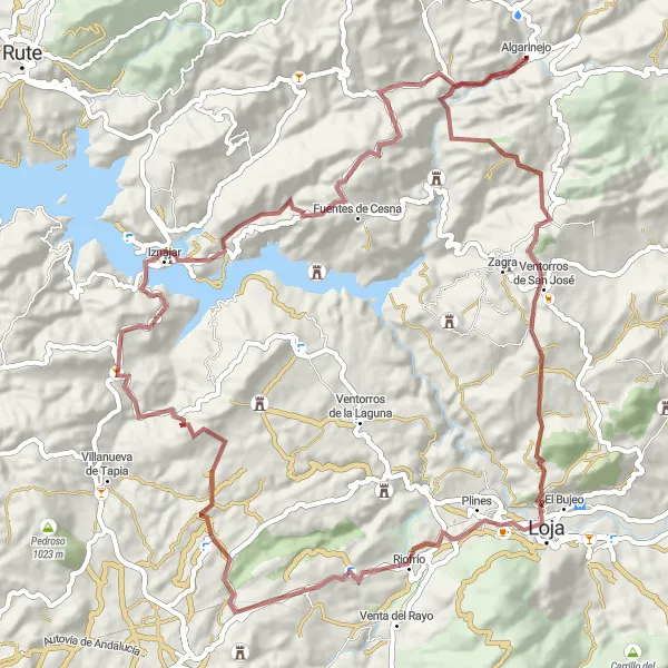
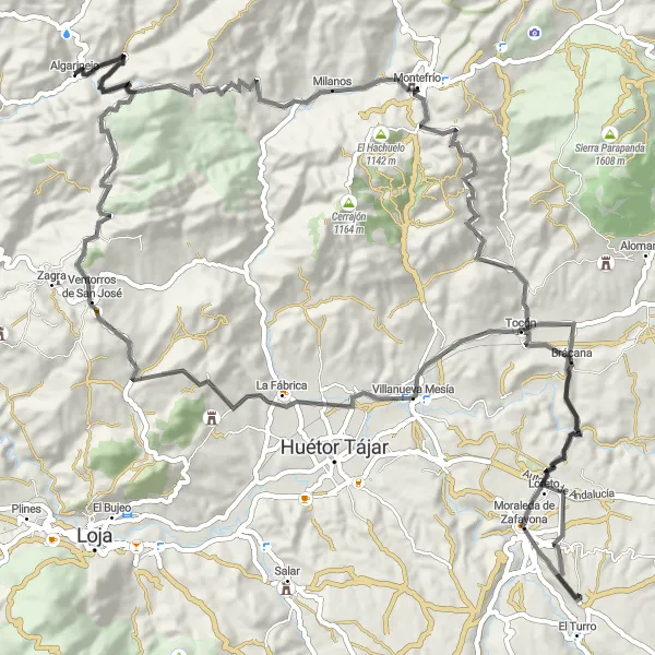
Discover the scenic beauty of Algarinejo and its surroundings on this challenging gravel route.
Experience the best of Andalucía as you tackle this challenging gravel route starting near Algarinejo. With a total ascent of 2,663 meters and covering a distance of 115 kilometers, this route offers breathtaking views and unique highlights along the way. Embark on a journey to Lojilla, a hidden gem located 23 kilometers into the route. Lojilla is known for its charming streets and traditional Andalusian architecture, providing a glimpse into the region's rich history. Continue your adventure and make a stop at Morrón de Catena, a scenic viewpoint positioned approximately 51 kilometers into the route. From here, you can marvel at the stunning panoramic views of the surrounding landscape.
The Gravel Route to Algarinejo
Explore the idyllic village of Algarinejo on this scenic gravel cycling route
This gravel cycling route offers a unique opportunity to explore the beautiful village of Algarinejo and its surroundings. With a total ascent of 1907 meters and a distance of 87 kilometers, this route is suitable for experienced gravel cyclists.
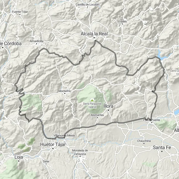
Experience the beauty of Algarinejo and its surroundings on this scenic road cycling route
This road cycling route takes you on a scenic journey around Algarinejo, offering breathtaking views and charming villages. With a total ascent of 1905 meters and a distance of 105 kilometers, this route is suitable for intermediate to experienced road cyclists.
Embark on an epic road cycling adventure through Andalucía's stunning mountainous landscapes
This road cycling route takes you on a breathtaking journey through the mountainous landscapes of Andalucía. With a total ascent of 2068 meters and a distance of 116 kilometers, this route is suitable for experienced road cyclists seeking a challenge.
Cycling routes nearby:


Nearby regions: