Embark on a cycling adventure through the scenic routes of Arroyo del Ojanco.
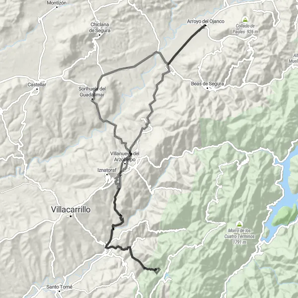
Cycling routes from Arroyo del Ojanco
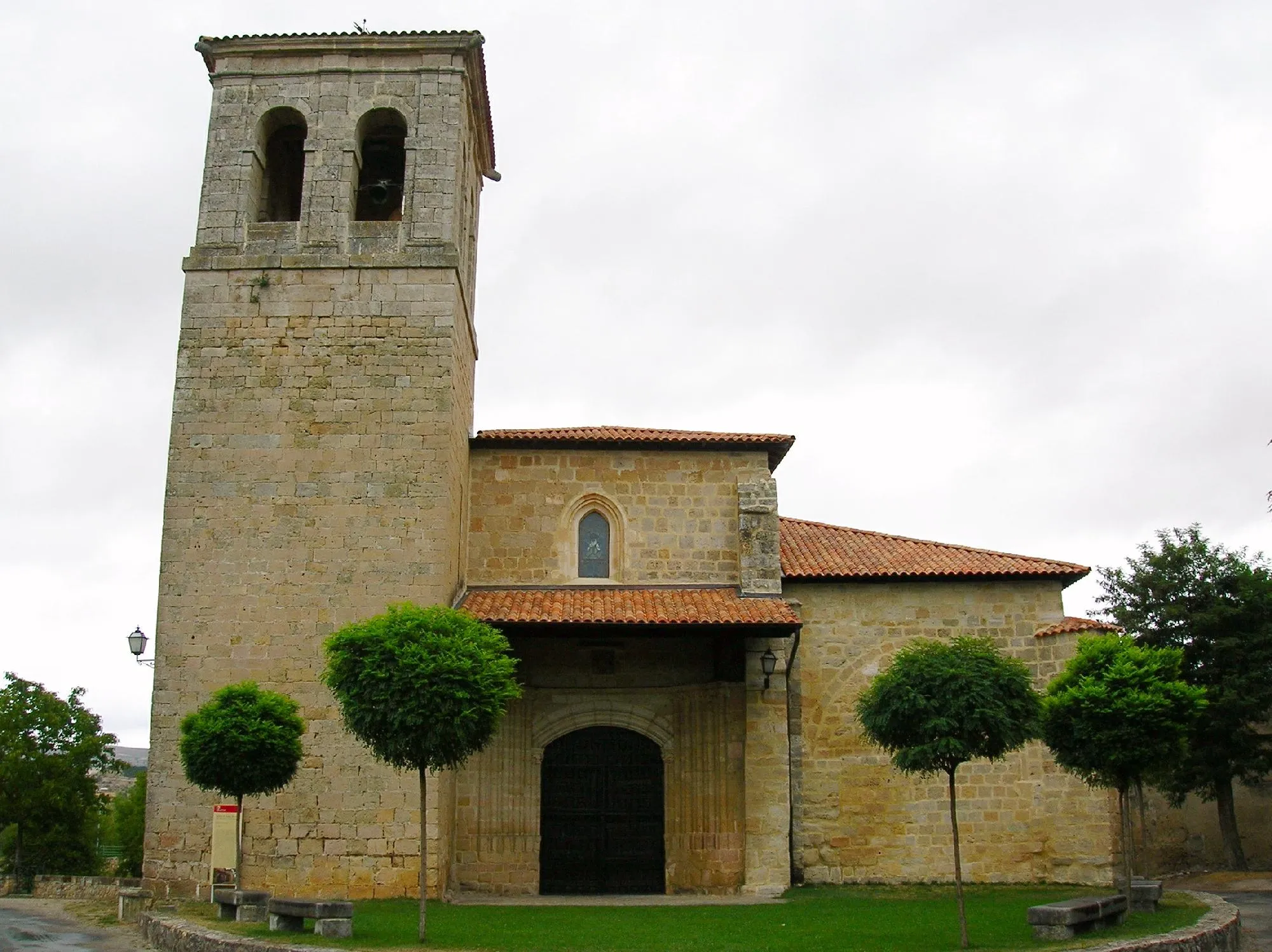
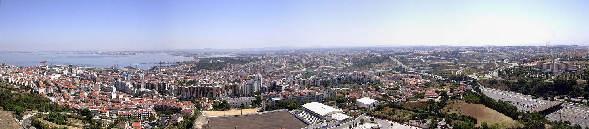
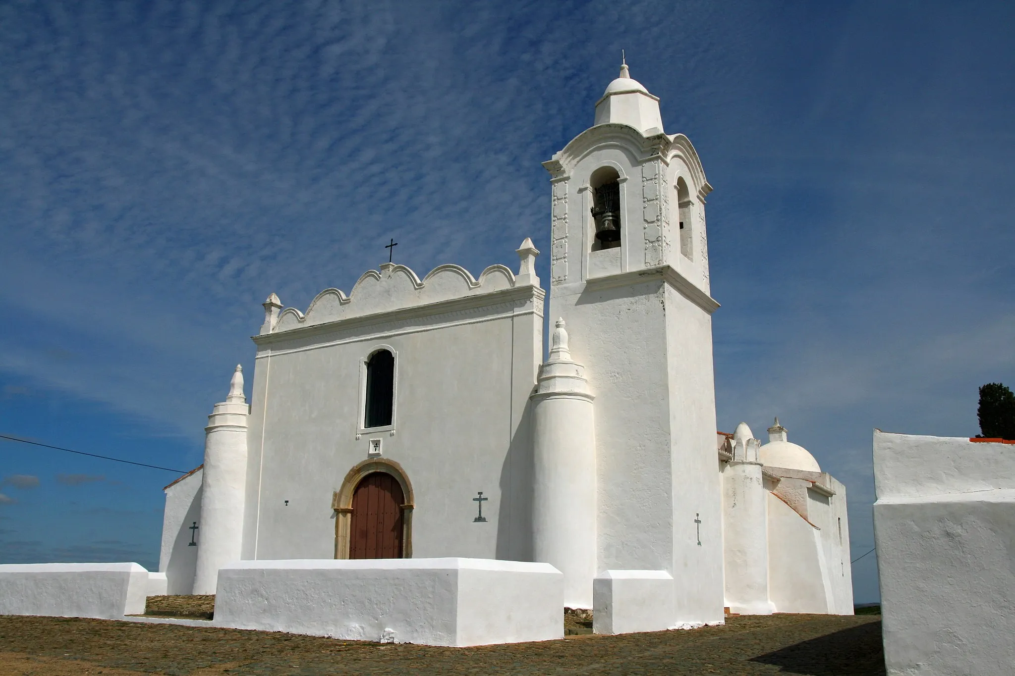
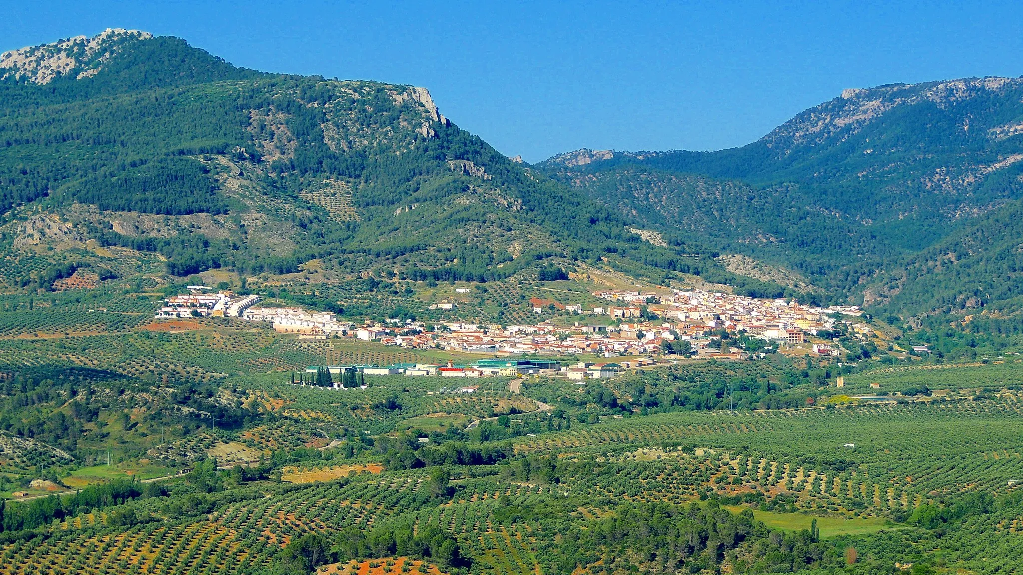
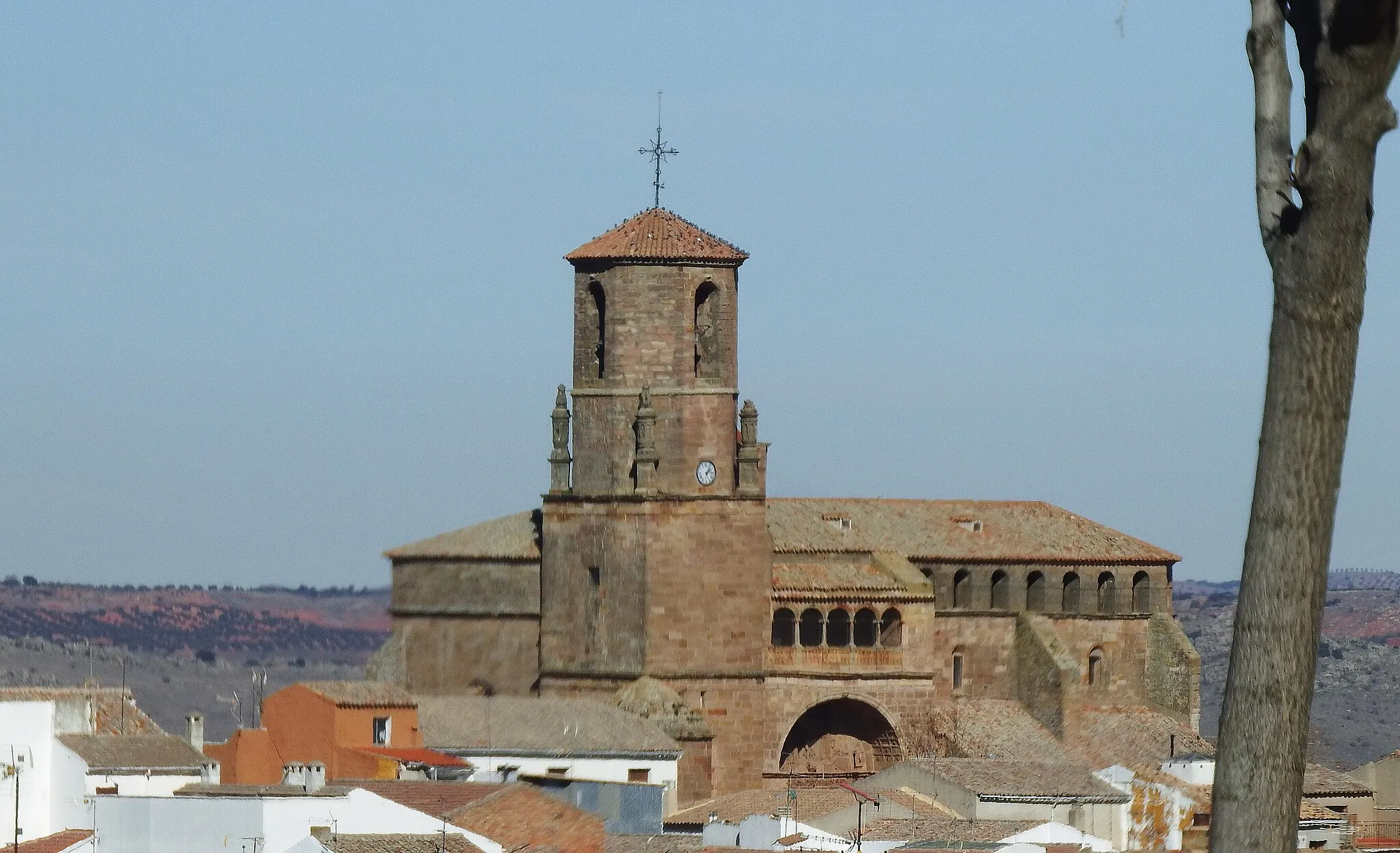
Arroyo del Ojanco is a locality within Andalucía, Spain. As a cyclist, the area offers picturesque routes for both road and gravel cycling. With its undulating landscapes and well-maintained roads, Arroyo del Ojanco provides a challenging but rewarding experience for cyclists. Nearby, the Sierra de Cazorla Natural Park is a popular destination for cyclists, boasting spectacular scenery and mountainous climbs. The locality also boasts historical attractions, such as the Church of Santa María and the Castle of La Iruela, adding to its tourist appeal. Overall, Arroyo del Ojanco is an attractive option for cyclists seeking a mix of natural beauty and cultural heritage.

Conquer towering peaks and breathtaking mountain passes on this epic road cycling route near Arroyo del Ojanco.
For the most fearless and experienced riders, this ultimate road cycling challenge awaits near Arroyo del Ojanco. A grueling total ascent of 3159 meters combined with a distance of 156 kilometers makes this route one for the true adventurers. Marvel at the stunning vistas along the way, including Cerro de la Hermanilla Baja, Bienservida, Collado Averazo, Villaverde de Guadalimar, and Segura de la Sierra. Rated 5 out of 5 in difficulty, this route should only be tackled by riders with advanced skills and exceptional fitness levels. With an epicness score of 4 out of 5, prepare yourself for a journey through some of the most breathtaking landscapes Andalucía has to offer.

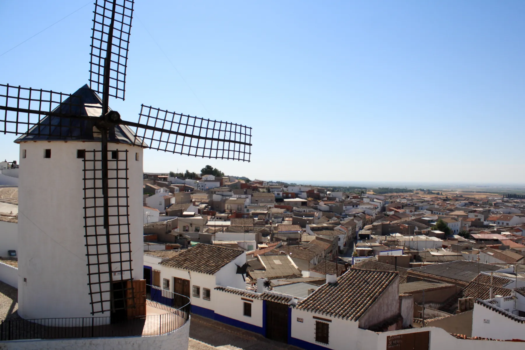
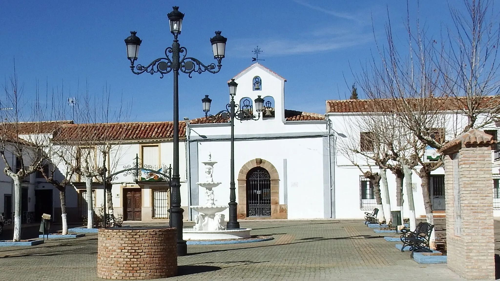
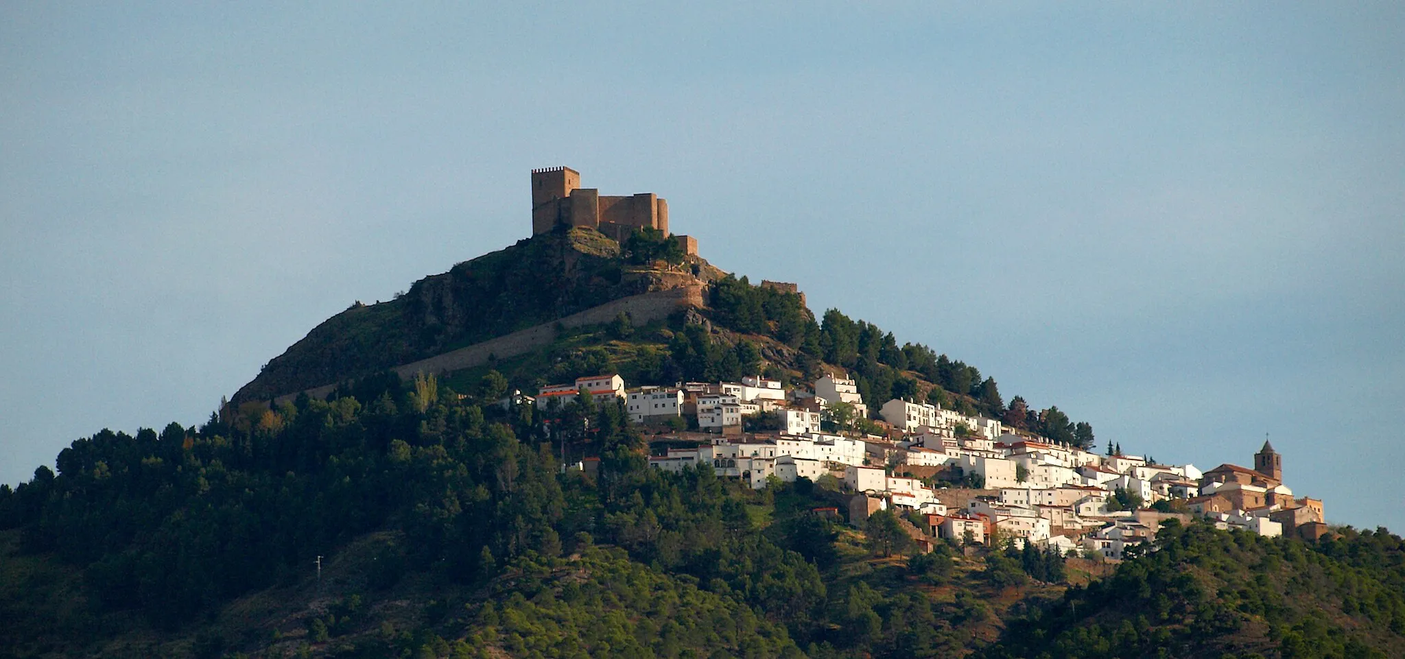
Explore the enchanting town of Montizón
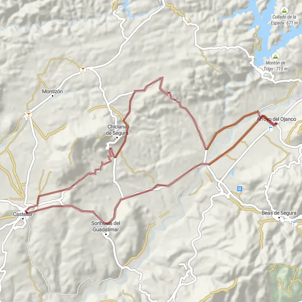
Embark on an unforgettable gravel cycling journey filled with scenic delights on The Santisteban Scenic Journey. Covering a distance of 84 km with an ascent of 1080 meters, this route takes you through the breathtaking landscapes surrounding Arroyo del Ojanco. Explore the historic town of Castellar, marvel at the charming Santisteban del Puerto, and immerse yourself in the enchanting surroundings of Montizón. With a difficulty rating of 3, this route is suitable for intermediate cyclists seeking a picturesque adventure in Andalucía.

Embark on an adventurous gravel cycling route through remote landscapes near Arroyo del Ojanco.
This gravel cycling route offers a thrilling adventure for those seeking a unique off-road experience. With a total ascent of 1116 meters and a distance of 75 kilometers, this challenging route takes you through remote landscapes and hidden gems. Highlights of the route include Puente de Génave, known for its impressive bridge, La Puerta de Segura, a charming town with fascinating architecture, Cerro del Tobazo, offering stunning panoramic views, Cañada Catena, with its picturesque landscape, and Beas de Segura, a town rich in cultural heritage. The route is rated 3 out of 5 in difficulty, making it suitable for experienced gravel cyclists. It receives an epicness score of 3 out of 5, ensuring a memorable adventure.
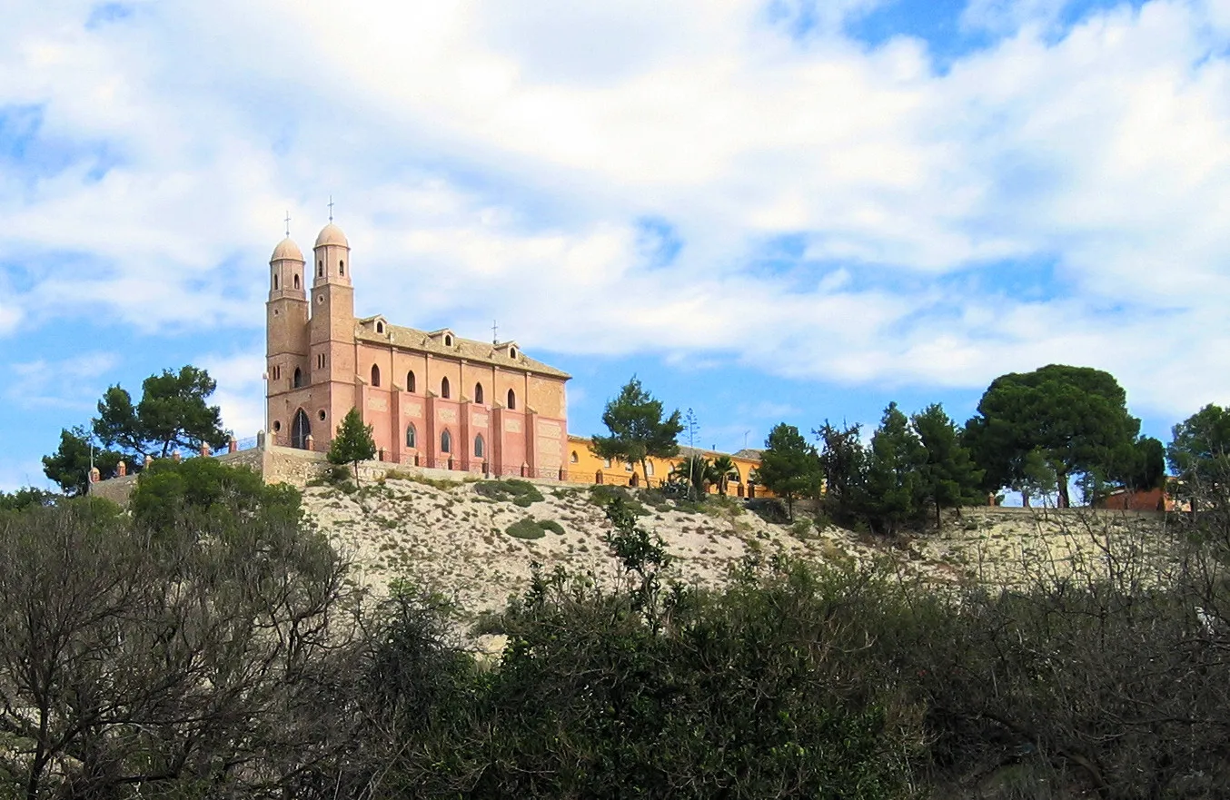
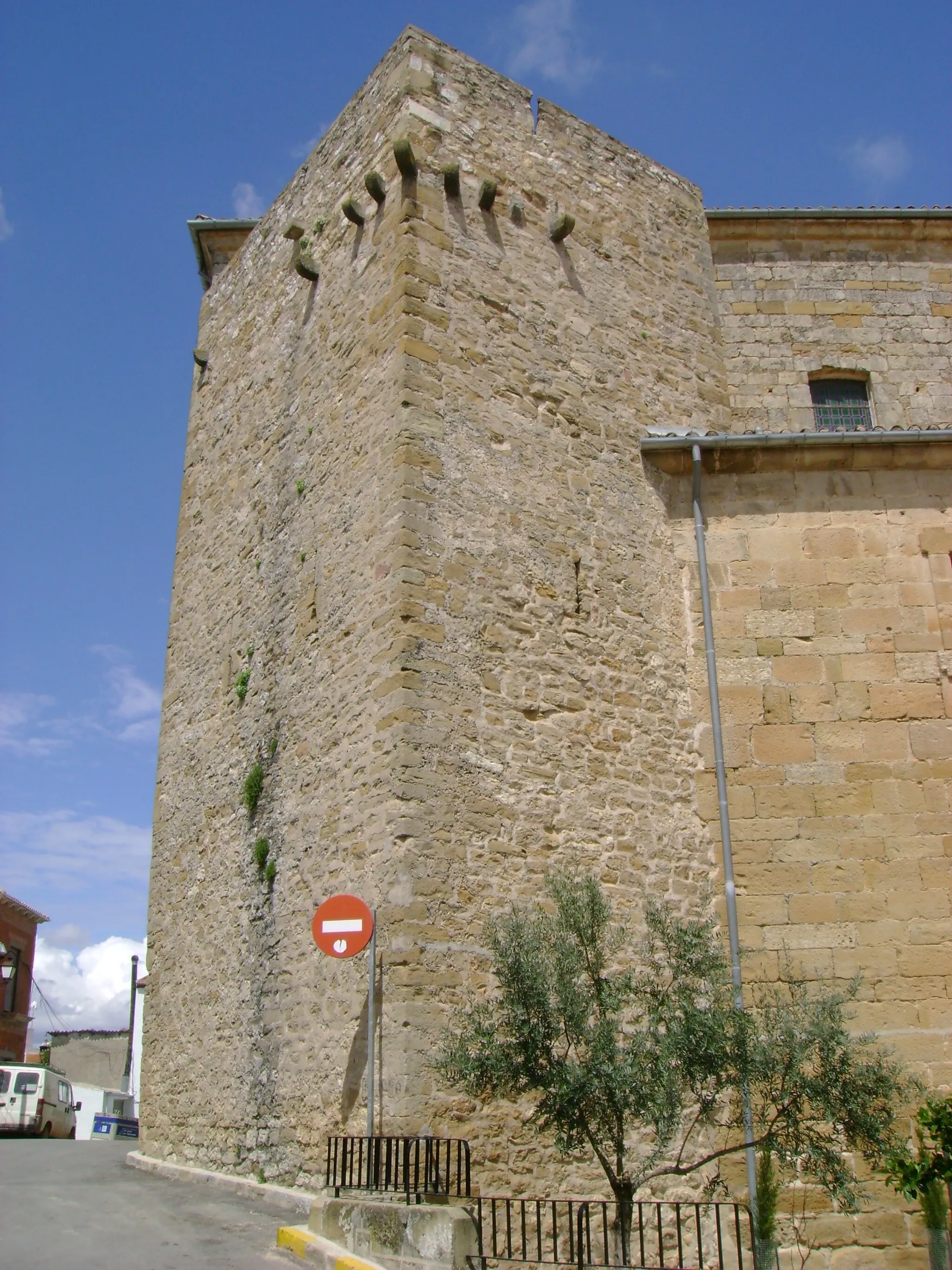
Explore the hidden village of Sorihuela del Guadalimar
Set off on an exciting gravel adventure as you ride through the rugged landscapes near Arroyo del Ojanco. The Sorihuela Adventure route takes you on a 63 km journey with 857 meters of ascent. Enjoy the thrill of off-road cycling as you discover the distinctive village of Sorihuela del Guadalimar and experience the stunning natural beauty of the surrounding area. With a difficulty rating of 3, this route is suitable for well-trained amateurs looking for a challenge. Get ready for an epic gravel cycling experience in Andalucía!
The Historic Villages Tour
Explore the historic villages and ancient ruins on this road cycling adventure near Arroyo del Ojanco.
Immerse yourself in the rich history and culture of Andalucía on this road cycling tour. With a total ascent of 1848 meters and a distance of 103 kilometers, this challenging route takes you through some of the region's most enchanting villages and historical sites. Highlights along the way include Gútar, known for its well-preserved ancient ruins, Mogón, famous for its stunning lake views, and Sorihuela del Guadalimar, a picturesque village perched on top of a hill. Rated 4 out of 5 in difficulty, this route is perfect for experienced amateurs looking for a cultural and physical adventure. With an epicness score of 3 out of 5, you'll have plenty of memorable moments to cherish.
Castles and Countryside Loop

Experience the allure of ancient castles and picturesque countryside on this road cycling adventure near Arroyo del Ojanco.
Step back in time as you embark on this road cycling route exploring the enchanting castles and scenic countryside near Arroyo del Ojanco. With a total ascent of 1309 meters and a distance of 105 kilometers, this challenging route offers a perfect blend of historical landmarks and natural beauty. Highlights along the way include Castellar, with its captivating castle ruins, Santisteban del Puerto, a quaint town with a rich cultural heritage, and Montizón, known for its imposing castle dominating the skyline. Rated 4 out of 5 in difficulty, it provides a suitable challenge for well-trained amateur cyclists. With an epicness score of 3 out of 5, you're sure to be captivated by the history and landscapes of this route.
The Génave Gateway

Pedal across Puente de Génave for a unique cycling experience
Experience the charm of gravel cycling on The Génave Gateway, a scenic 70 km route with 992 meters of ascent. Enjoy the thrill of off-road biking as you journey through Cerro del Oso and Collado del Gitano, both offering picturesque views of the surrounding landscapes. Don't miss out on the opportunity to cycle across Puente de Génave, a stunning bridge displaying impressive architectural design. With a difficulty rating of 2, this route is suitable for well-trained amateurs seeking a memorable cycling adventure in Andalucía.

Conquer the challenging Collado de la Retama climb
Embark on a road cycling adventure through the magnificent mountainous landscapes near Arroyo del Ojanco on The Mountainous Adventure route. Covering a distance of 132 km with a challenging ascent of 2332 meters, this route offers breathtaking views of the Sierra de Segura mountains. Take in the scenic beauty of Bienservida, Collado Averazo, and Siles as you push yourself to conquer the demanding Collado de la Retama climb. With a difficulty rating of 5, this route is recommended for experienced road cyclists seeking an epic challenge in Andalucía.

Embark on a challenging road cycling adventure through stunning peaks and picturesque valleys.
This round-trip cycling route near Arroyo del Ojanco offers a challenging but rewarding experience for well-trained amateur cyclists. With a total ascent of 2021 meters and a distance of 101 kilometers, this route takes you through the breathtaking landscapes of Andalucía, Spain. Expect steep climbs and exhilarating descents as you explore the highlights along the way, including the Cerro de la Hermanilla Baja, Puente de Génave, La Puerta de Segura, and Mirador de los Diestros. The difficulty level is rated 4 out of 5, making it suitable for experienced cyclists seeking a thrilling adventure. The epicness score is also high at 4 out of 5, ensuring an unforgettable journey.
The Sierra Trail

Conquer the challenging ascents of Cerro del Tobazo
Embark on an epic gravel adventure on The Sierra Trail, a 109 km route with 2810 meters of ascent. This challenging ride takes you through the stunning landscapes surrounding Arroyo del Ojanco, offering breathtaking views of the Sierra de Segura mountains. Journey through Beas de Segura and Cañada Catena, stopping at the Cerro del Tobazo to test your cycling prowess. With a difficulty rating of 4, this route is ideal for experienced cyclists looking for a thrilling challenge. Prepare for an unforgettable exploration of Andalucía's gravel cycling paradise!
Cycling routes nearby:


Nearby regions: