Tranquil cycling in Andalucía
Cycling routes from Villacarrillo
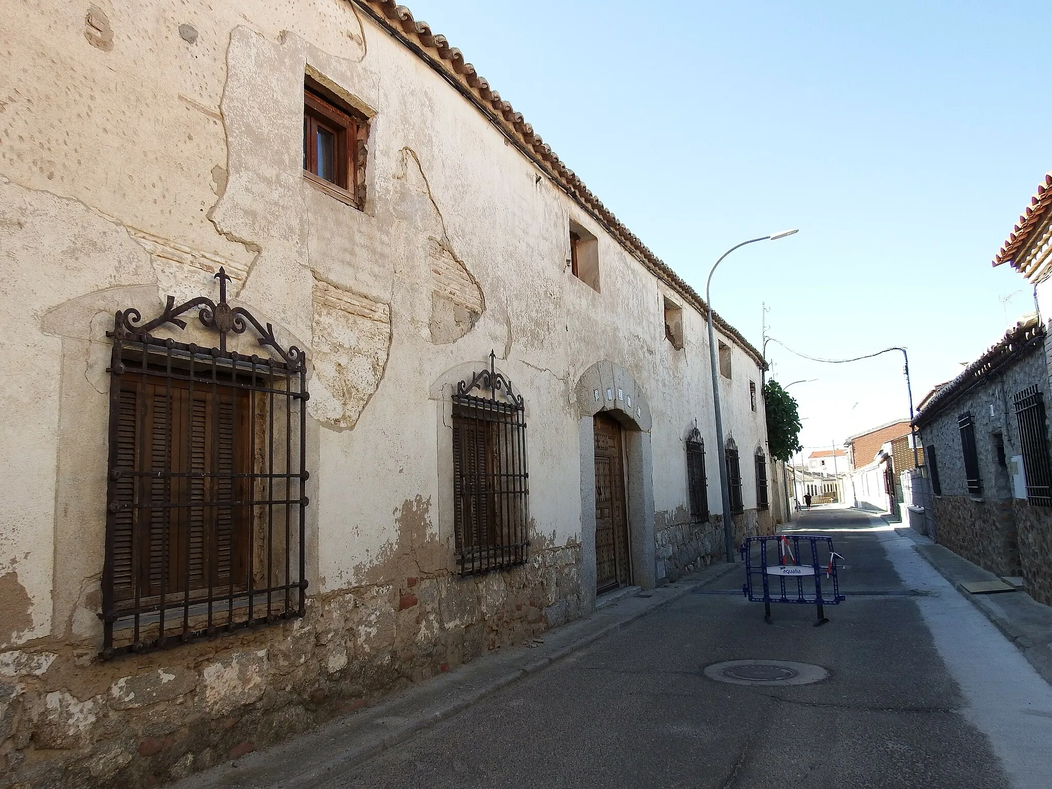
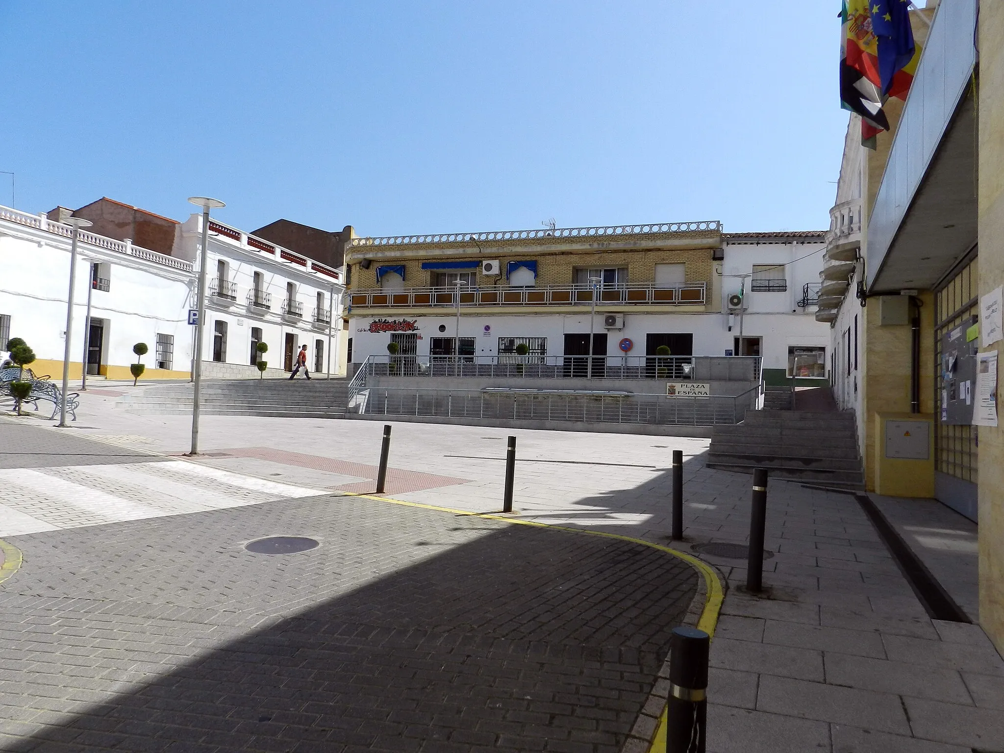
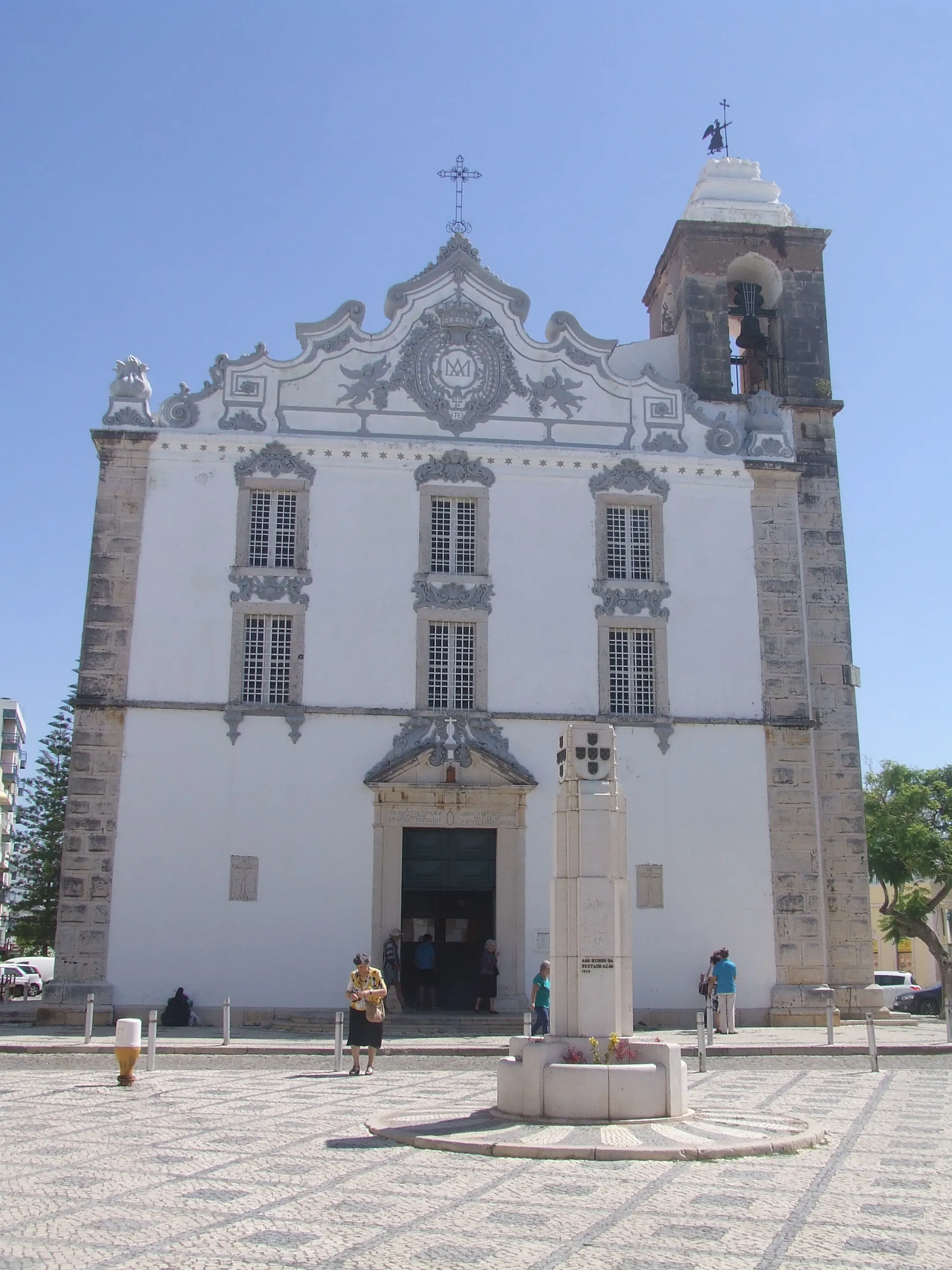
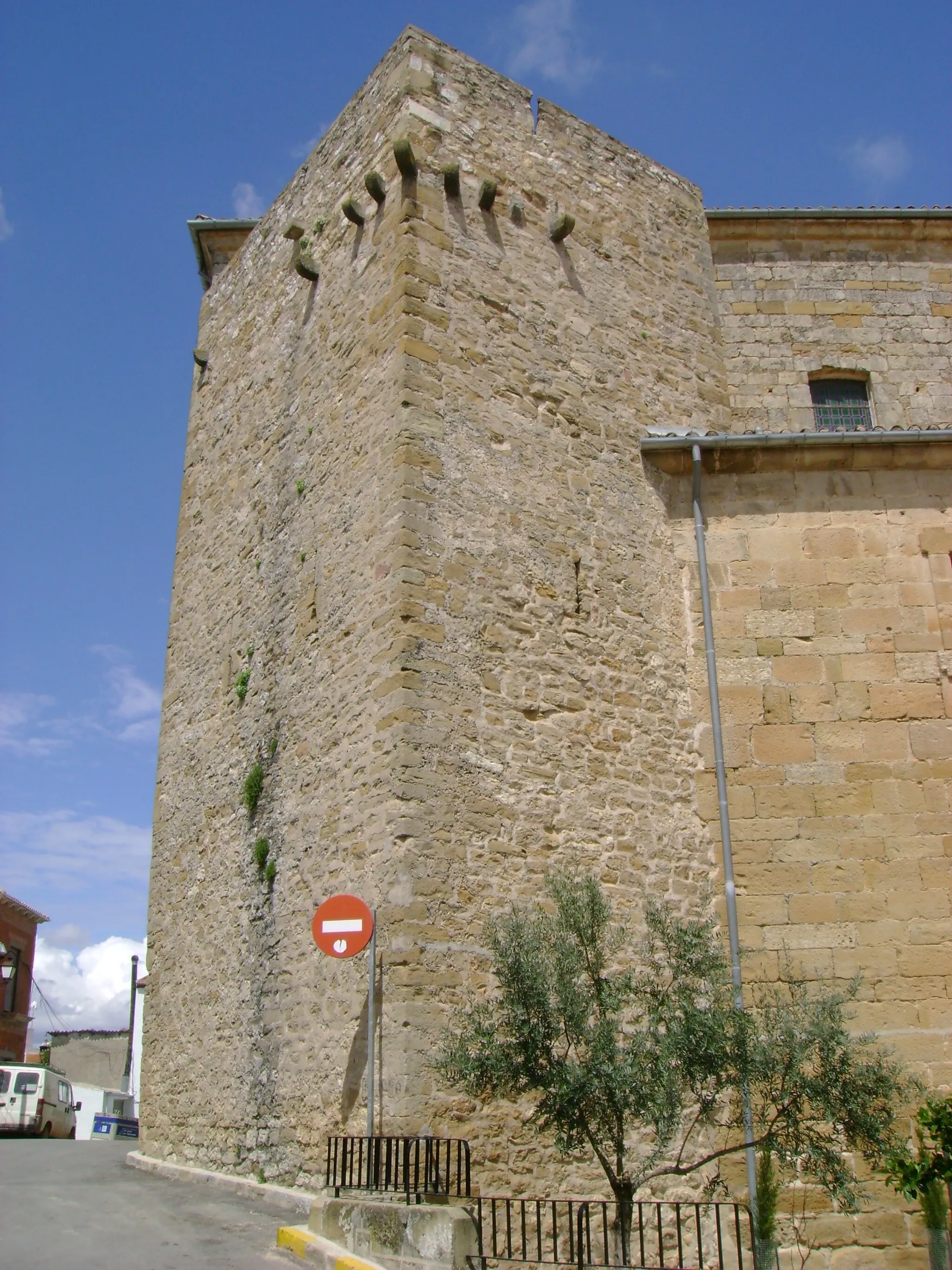
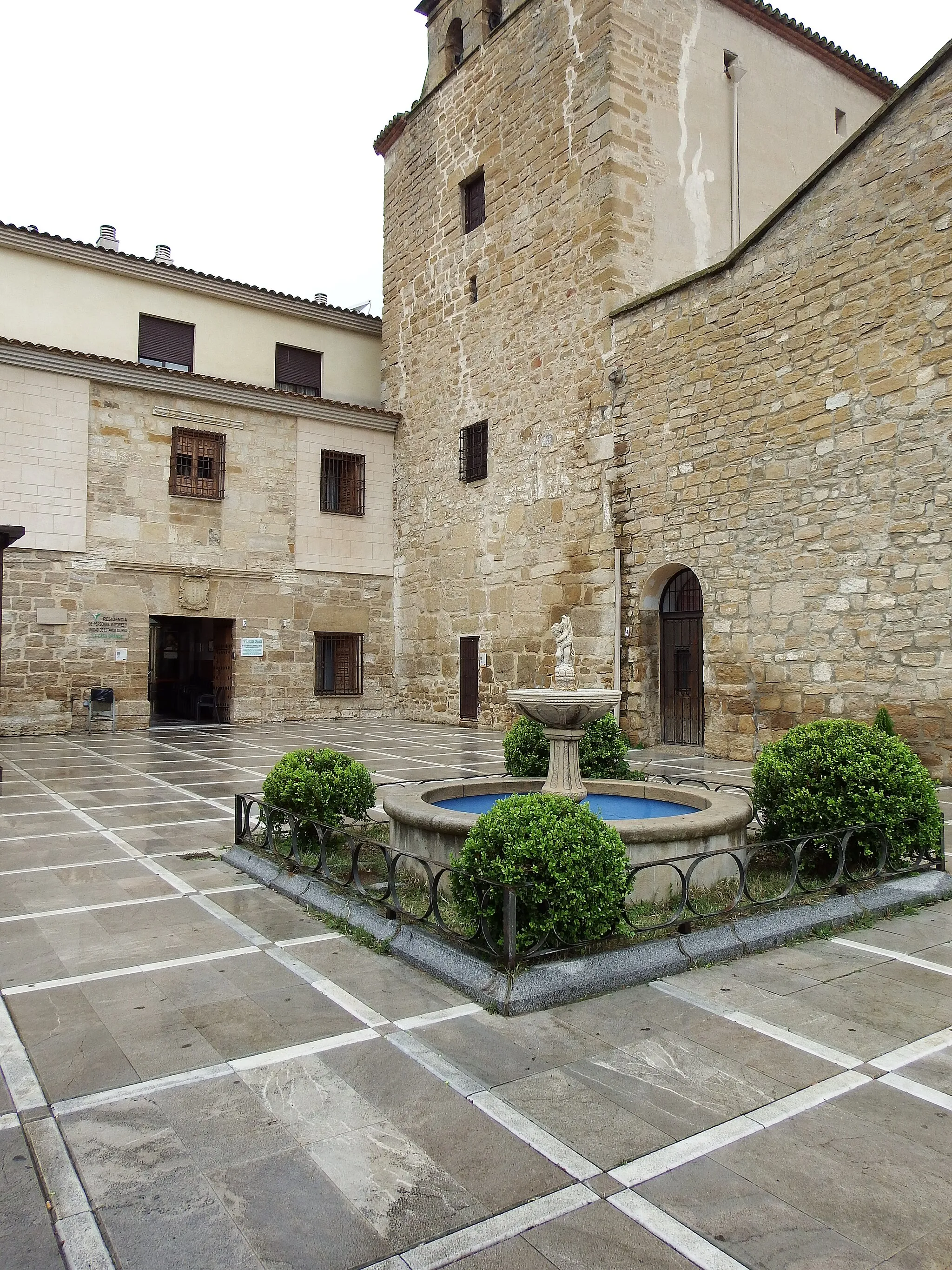
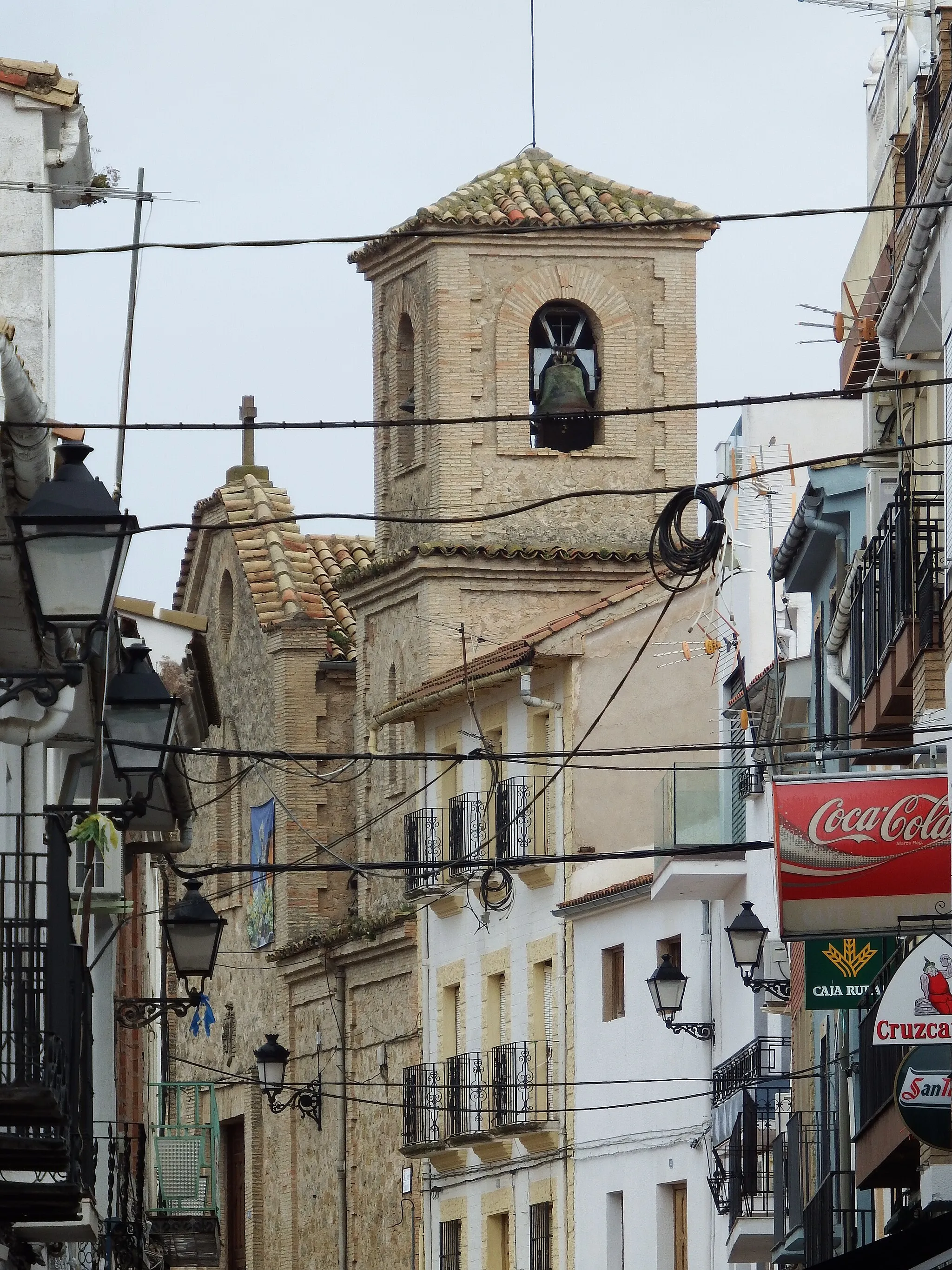
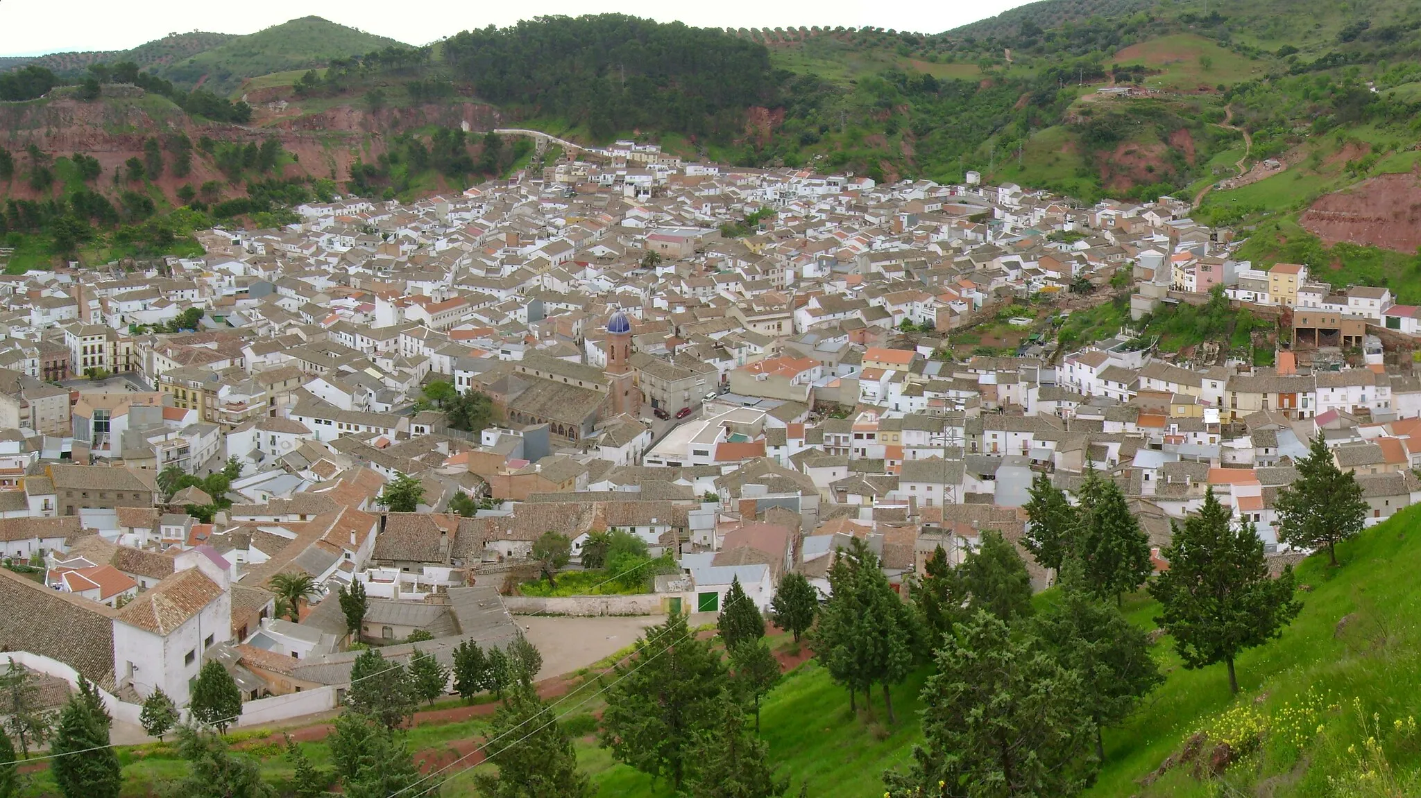
Villacarrillo, located in Andalucía, Spain, is a decent spot for road and gravel cycling. The locality offers various routes across its beautiful countryside, with a mix of gentle inclines and challenging climbs. One nearby well-known cycling spot is the ascent to Sierra de las Villas Nature Reserve, offering scenic landscapes and moderate gradients. Although Villacarrillo may not have the fame of some other cycling destinations, it still provides a tranquil and picturesque setting for cyclists to enjoy. This hidden gem is worth exploring for its peaceful roads and natural beauty.
The Gravel Path
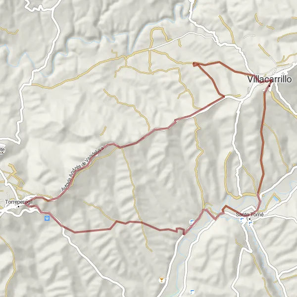
Embark on an adventurous gravel ride through the countryside
This gravel route takes you on an off-road journey through the scenic Andalusian countryside. As you ride through rugged terrain and gravel paths, you'll encounter breathtaking natural landscapes and charming rural villages. The route is suitable for experienced cyclists who enjoy a bit of challenge and excitement. Along the way, you'll have the opportunity to explore historic sites and soak in the tranquility of the surroundings.
Hidden Trails
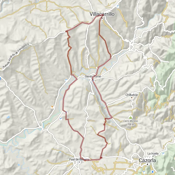
Discover hidden trails and picturesque landscapes near Villacarrillo
Get off the beaten path with this gravel route that takes you through lesser-known trails near Villacarrillo. Experience the serene beauty of untouched nature as you cycle through the peaceful countryside. The route offers a mix of scenic views, gentle ascents, and interesting sights to explore. Suitable for intermediate-level gravel riders looking for a tranquil and rewarding cycling experience.
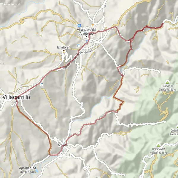
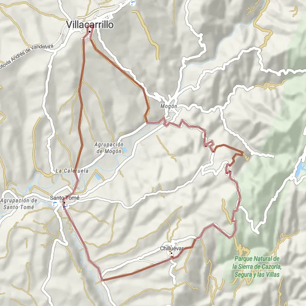
Cycle through beautiful landscapes to reach the scenic town of Mogón.
This gravel cycling route takes you from Villacarrillo to the picturesque town of Mogón. With a total ascent of 1223 meters and a distance of 51 kilometers, this route offers a moderately challenging ride. Along the way, you'll enjoy stunning views of the surrounding landscapes and explore the charming town of Mogón.
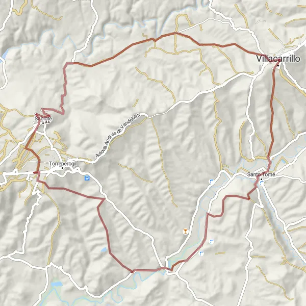
Embark on a thrilling gravel cycling adventure to Castillo de Sabiote.
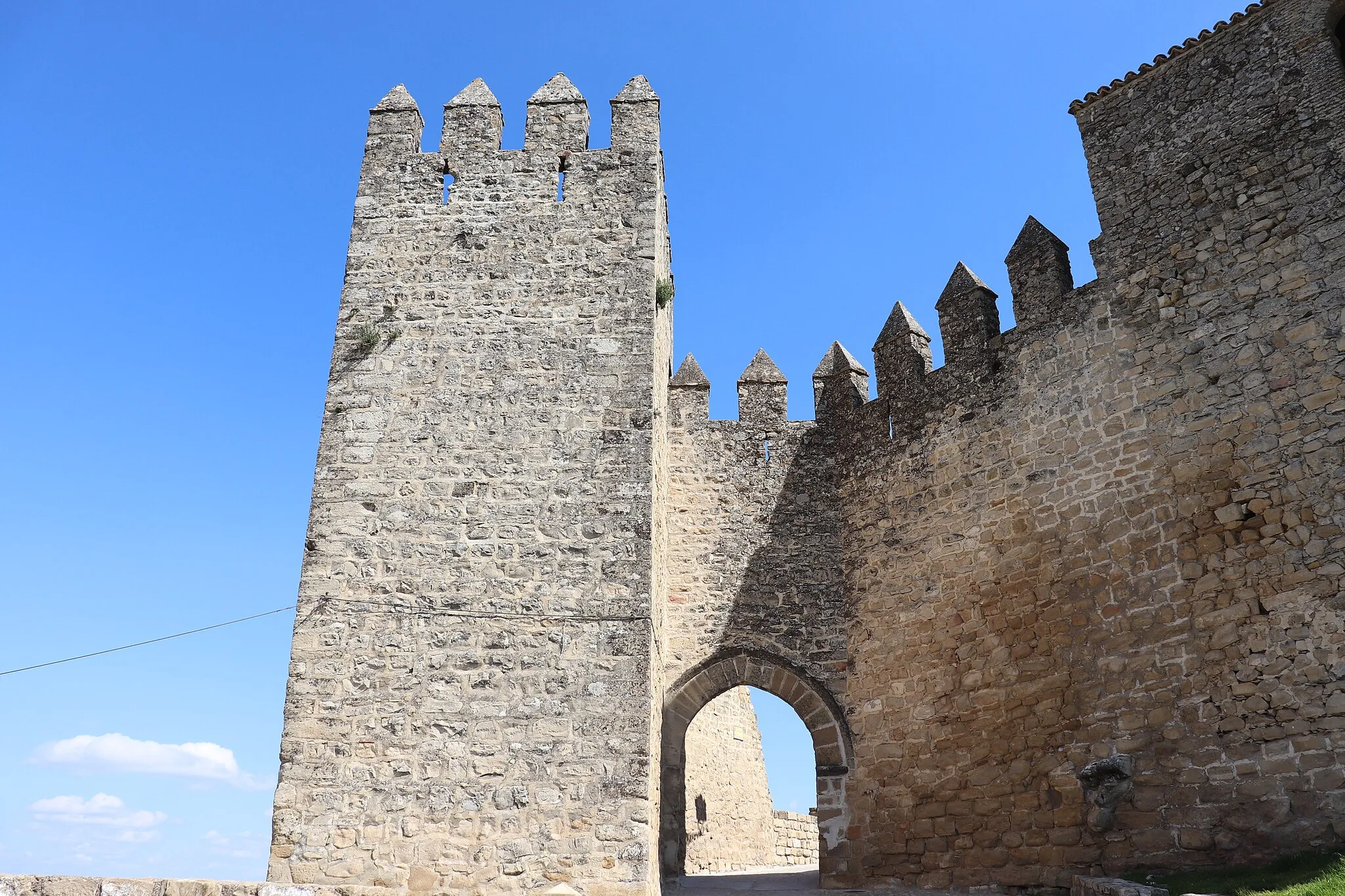
This gravel cycling route from Villacarrillo takes you to the historic Castillo de Sabiote. With a total ascent of 1473 meters and a distance of 78 kilometers, this route is suitable for adventurous cyclists. The Castillo de Sabiote is a medieval fortress with a rich history, offering a great opportunity to explore the region's heritage while enjoying your ride.
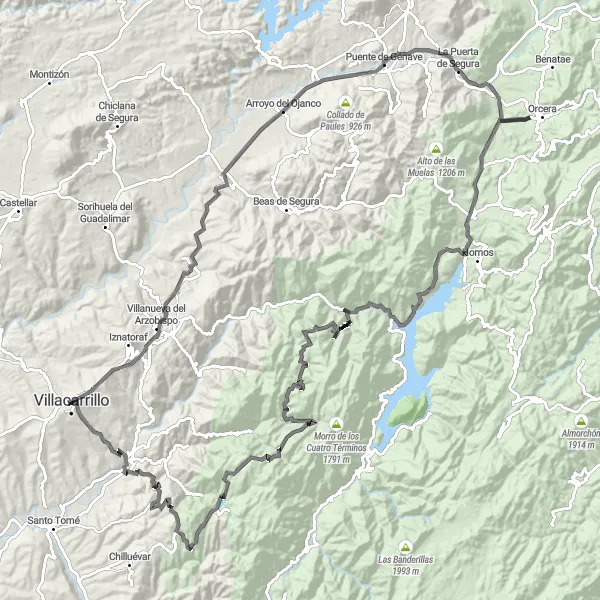
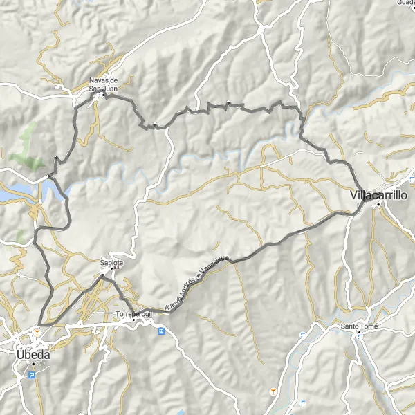
Conquer the challenging climb to Collado del Pocico on this epic road cycling route.
This road cycling route from Villacarrillo takes you on an epic journey to the summit of Collado del Pocico. With a total ascent of 3140 meters and a distance of 157 kilometers, this route is recommended for experienced cyclists. Along the way, you'll encounter challenging climbs, stunning landscapes, and several charming towns and villages.
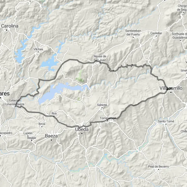
Enjoy the picturesque village of Gútar on this scenic road cycling route.
This road cycling route takes you from Villacarrillo to the charming village of Gútar. With a total ascent of 1348 meters and a distance of 83 kilometers, this route is moderately challenging and suitable for experienced amateur cyclists. Along the way, you'll pass through scenic landscapes and beautiful towns, with Gútar as the main highlight of the route.
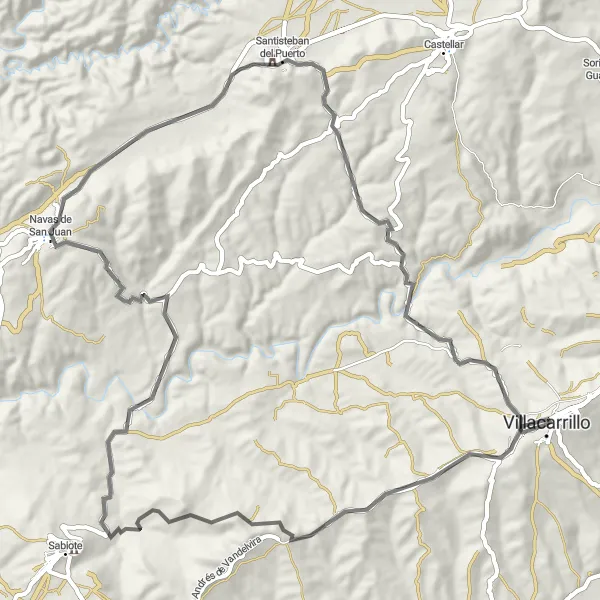
Explore the stunning views of Mirador de los Calerines on this challenging road cycling route.
This road cycling route near Villacarrillo offers a challenging and rewarding experience for riders. With a total ascent of 1506 meters and a distance of 90 kilometers, this route is suitable for well-trained amateur cyclists. The highlight of the route is the Mirador de los Calerines, where riders can enjoy breathtaking views of the surrounding landscape.
Villas to Hamlets
Explore the charming hamlets around Villacarrillo
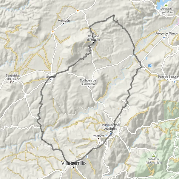
This route takes you through the beautiful countryside near Villacarrillo, introducing you to the small hamlets and their unique character. Experience the traditional Andalusian culture as you cycle through this peaceful region. The routes are suitable for intermediate-level cyclists with moderate ascents and varying lengths. The gravel routes offer a bit more adventure, while the road routes provide smooth cycling. Both routes offer scenic views and the chance to learn about the local history and customs.
Test your endurance on this challenging road cycling route
This demanding road cycling route near Villacarrillo is designed for experienced cyclists looking for a thrilling adventure. With a long distance and significant elevation gain, this route promises to push your limits and reward you with breathtaking views along the way. Explore the region's diverse landscapes and picturesque villages as you tackle steep climbs and fast descents. Only suitable for cyclists who are well-trained and ready for a physically demanding challenge.
Scenic Escape
Enjoy a scenic escape along this gravel cycling route
Cycle through the beautiful Andalusian countryside on this gravel route near Villacarrillo. With moderate ascents and picturesque landscapes, this route offers a peaceful escape from busy city life. Visit charming villages along the way and discover the region's rich history and cultural heritage. Suitable for amateur cyclists with some off-road experience who are looking for a relaxing and enjoyable ride.
Cycling routes nearby:


Nearby regions: