Conquer legendary climbs and soak in the Spanish charm of Santo Tomé.
Cycling routes from Santo Tome
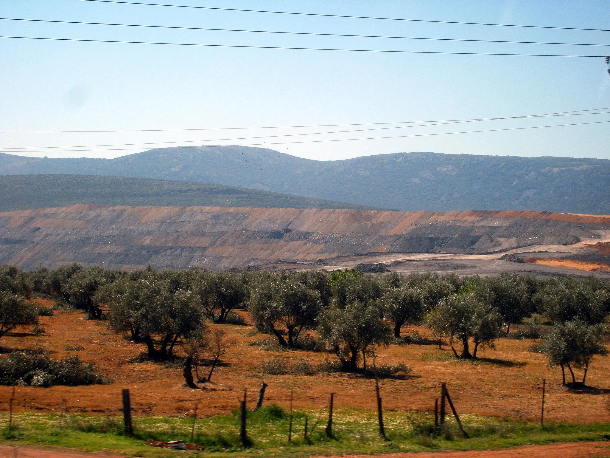
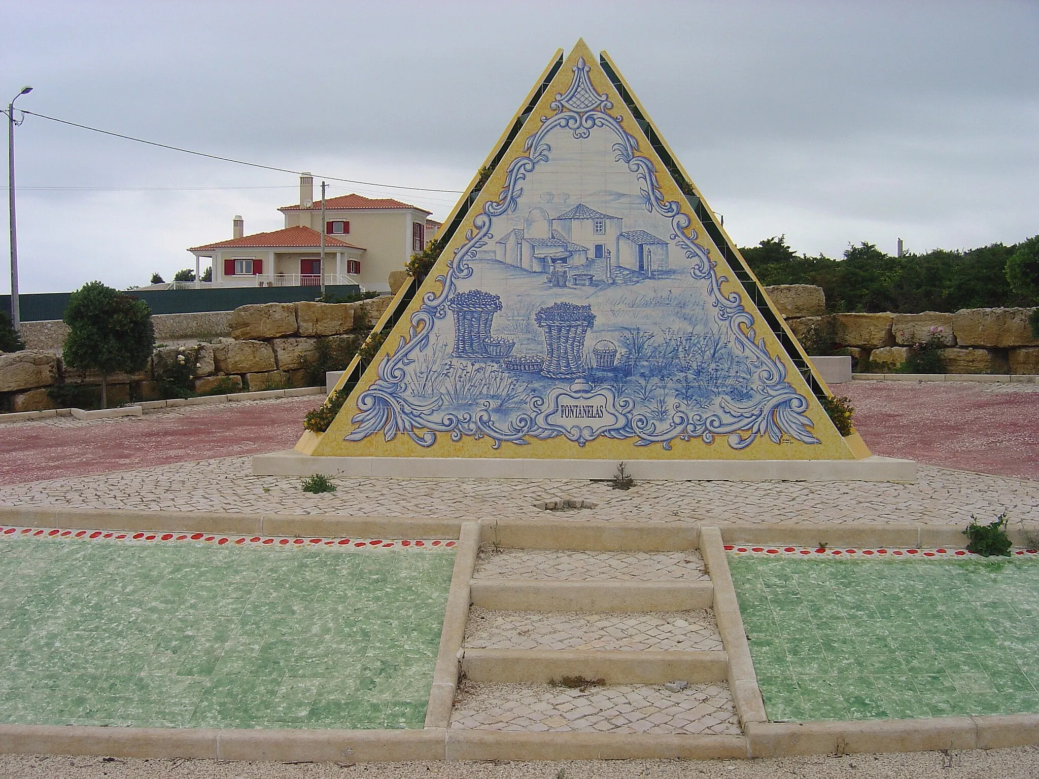
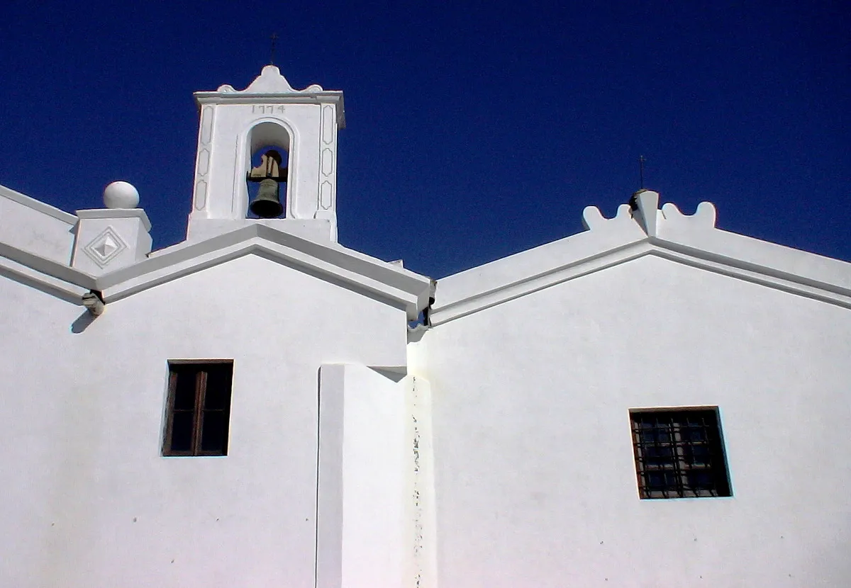
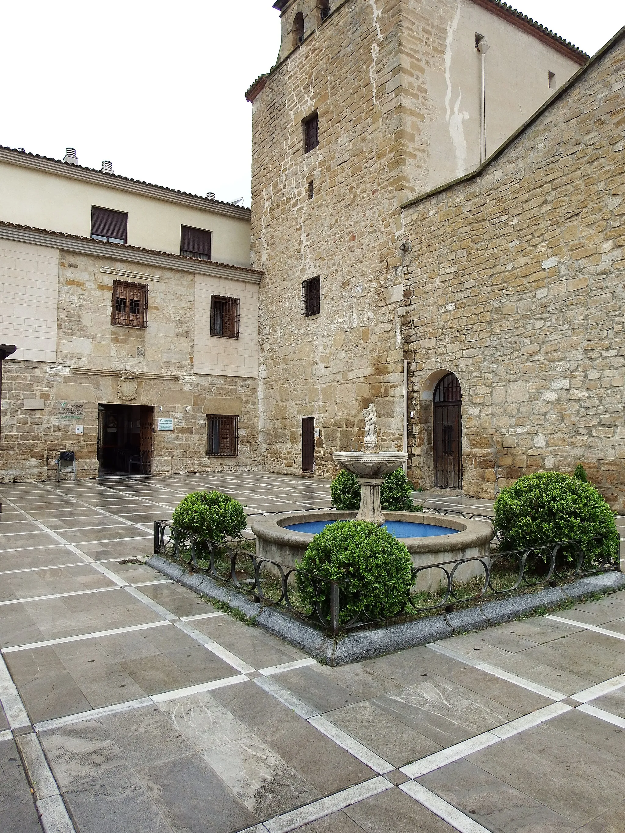
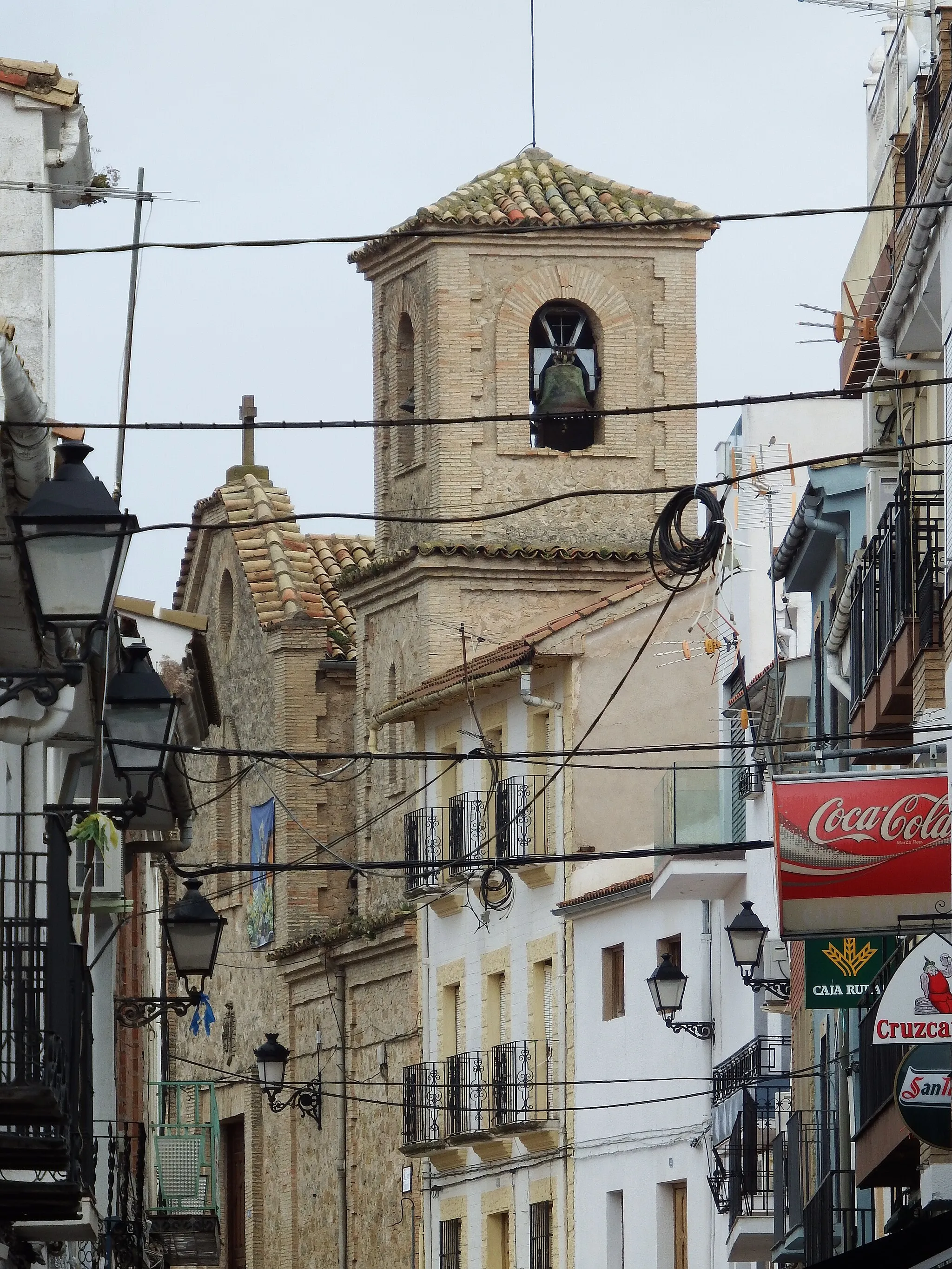
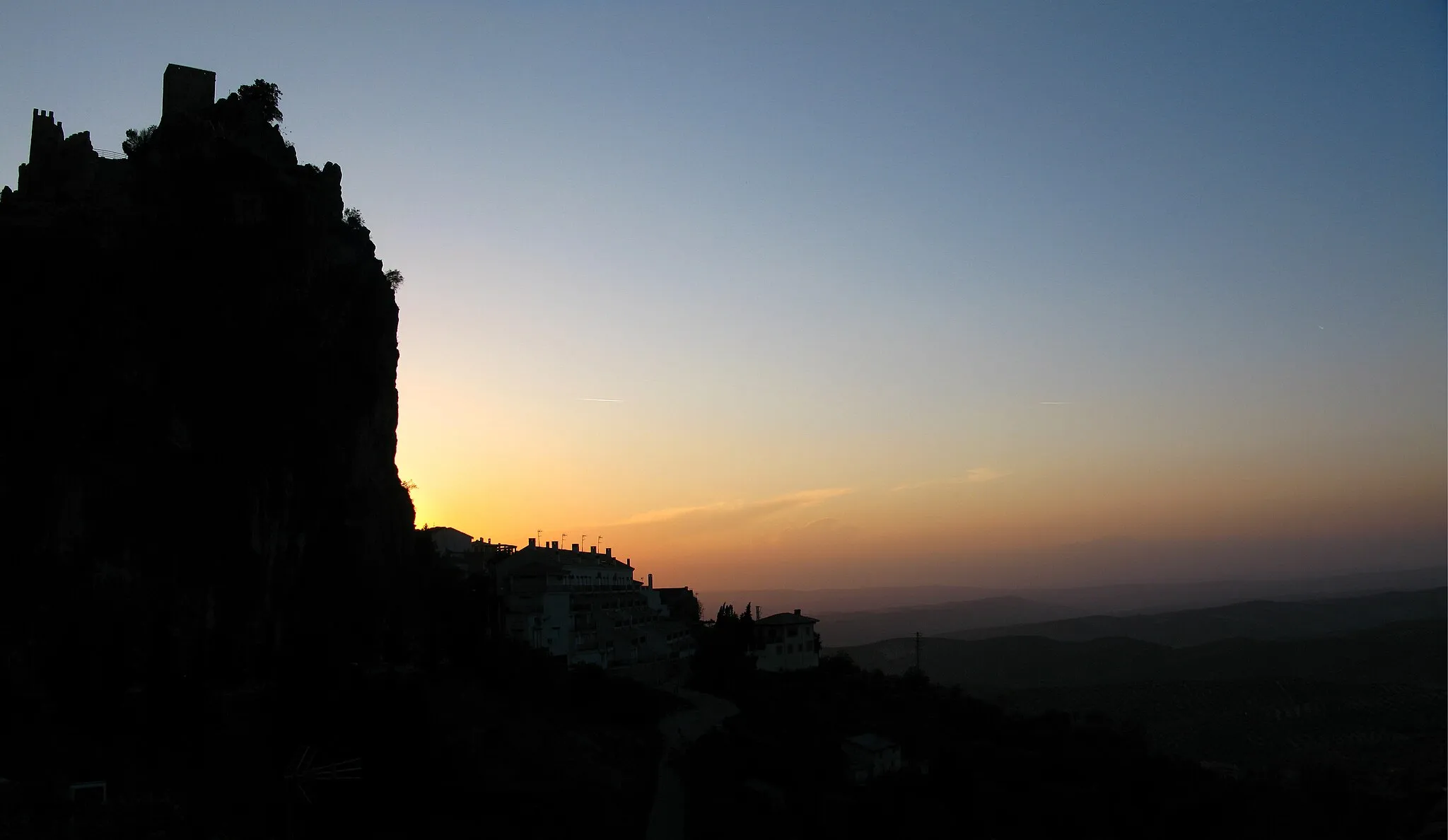
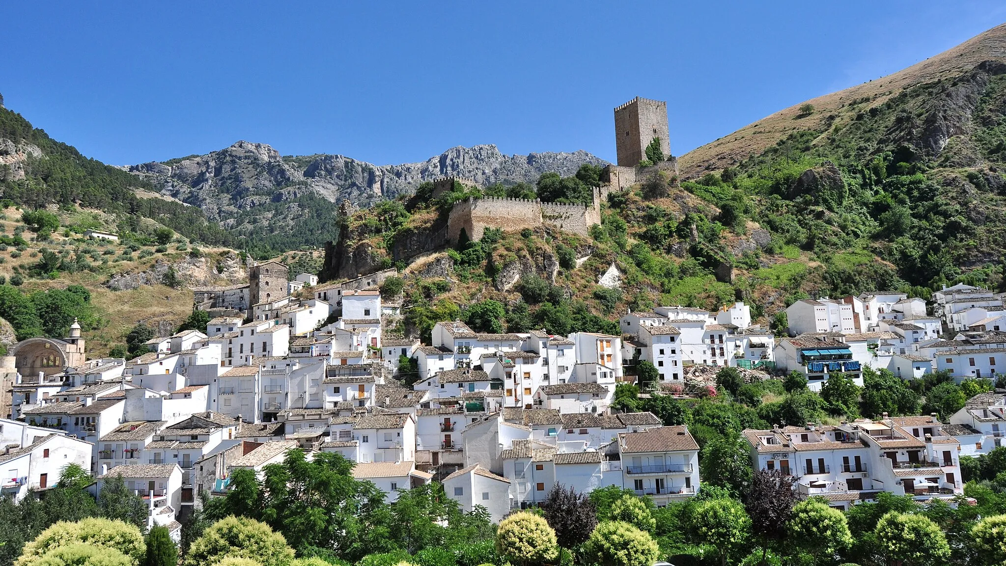
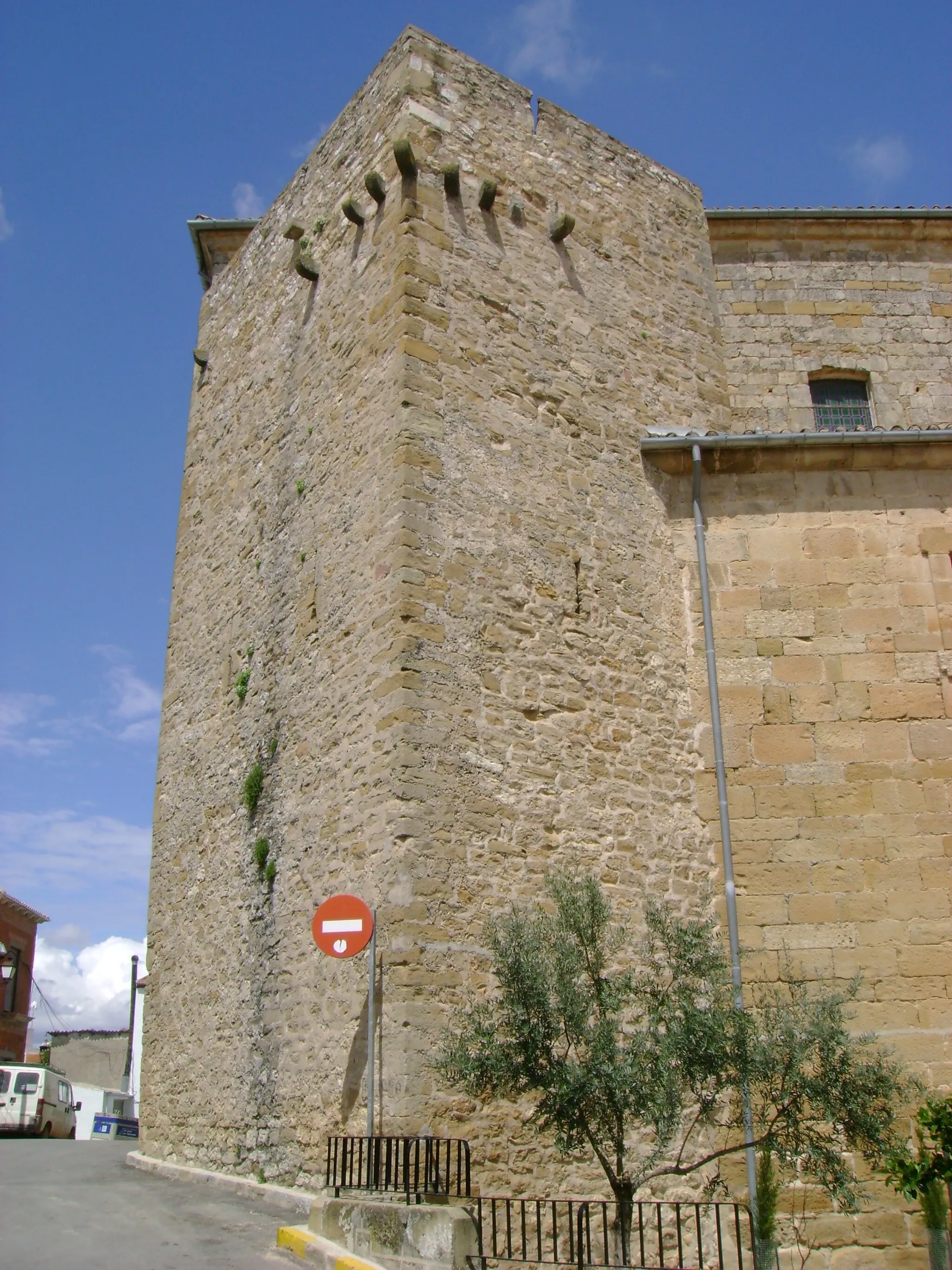
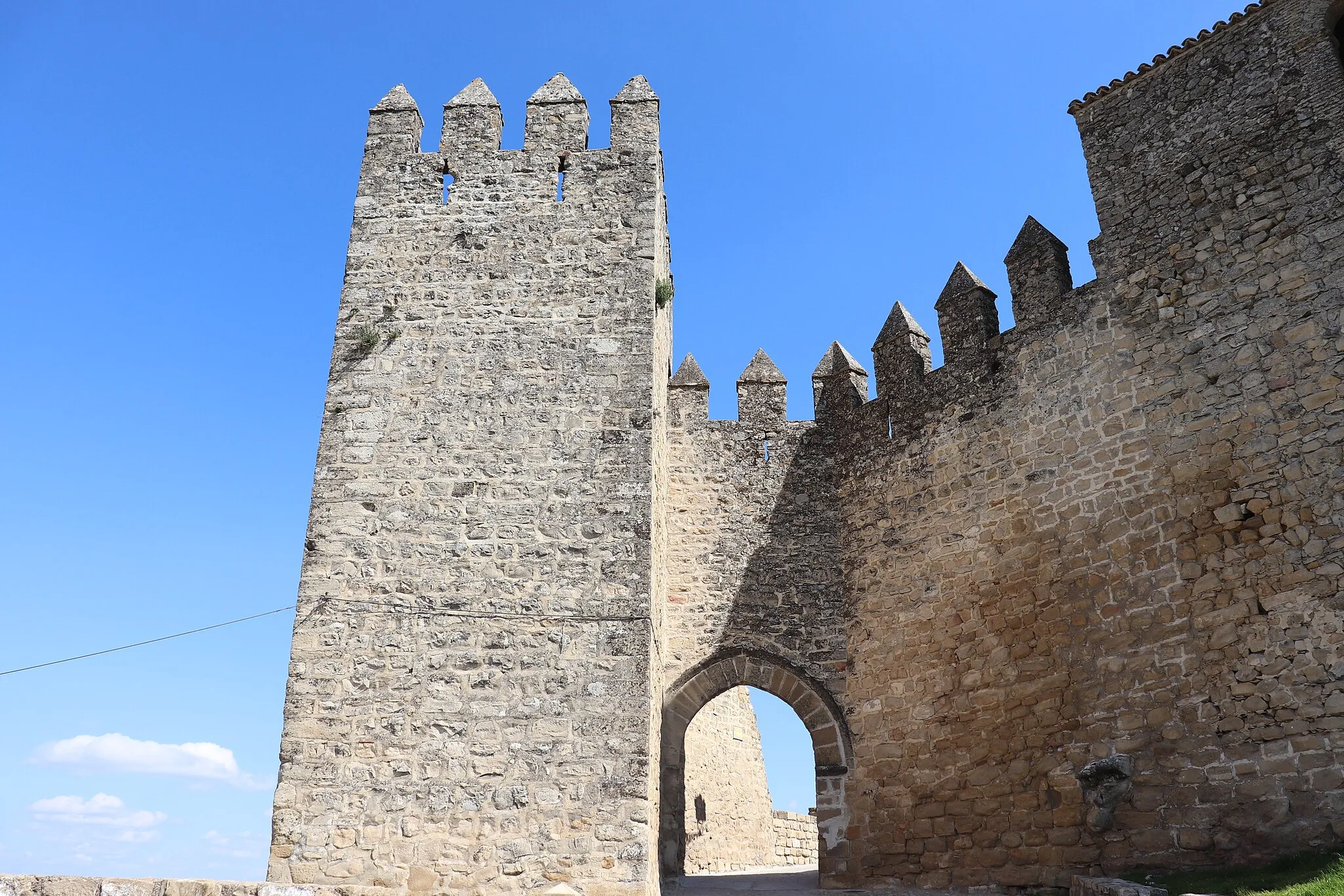
Santo Tomé is a locality within Andalucía, Spain. From a cyclist's perspective, Santo Tomé is a gateway to exploring some of Spain's most renowned climbs and cycling locations. Located near the Sierra de Cazorla Natural Park, the area offers challenging mountainous routes and breathtaking views. Cyclists can test their skills on the iconic Puerto de Tíscar climb or ride along the Ruta Puente de la Cerrada through stunning gorges. In addition to its cycling offerings, Santo Tomé provides tourists with a glimpse into Andalucían culture, architecture, and historical attractions like the Santo Tomé Church. For passionate cyclists seeking legendary climbs and authentic Spanish experiences, Santo Tomé is the ultimate destination.
Discover stunning views and rich history
Embark on a scenic cycling journey through Santo Tomé, Andalucía. This route offers breathtaking panoramic views and takes you through historic landmarks along the way. With a moderate difficulty level, it is suitable for well-trained amateurs seeking adventure. Experience the epicness of Andalusian landscapes and immerse yourself in the charm of this region.
Conquer challenging ascents and feel the adrenaline rush
Challenge yourself with this gravel cycling route that takes you through Santo Tomé's majestic climbs and breathtaking scenery. With a high difficulty level, it is recommended only for experienced cyclists looking for a thrilling adventure. Conquer epic climbs and experience the sheer beauty of the Andalusian landscape.
Scenic Gravel Delight
Immerse yourself in the natural beauty of Santo Tomé
Take a leisurely gravel ride through the captivating landscapes near Santo Tomé. This route offers a combination of picturesque views and cultural highlights. With a moderate difficulty level, it is suitable for cyclists of varying skill levels. Experience the beauty of nature and immerse yourself in the rural tranquility.
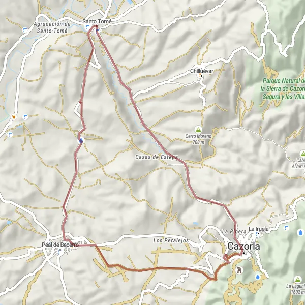
Lost in Cazorla
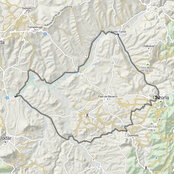
Uncover the hidden treasures of Cazorla
Ride through the captivating region of Cazorla near Santo Tomé. This road cycling route offers a mix of natural beauty and cultural heritage. With a moderate difficulty level, it is suitable for experienced cyclists. Prepare for an epic adventure through the picturesque landscape of Cazorla, filled with hidden gems and stunning viewpoints.
Santo Tomé - Sabiote - Navas de San Juan - Mirador de los Calerines - La Caleruela - Santo Tomé
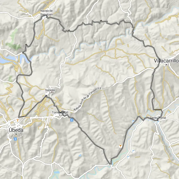
Witness the beauty of Sabiote, Navas de San Juan, Mirador de los Calerines, and La Caleruela on this road cycling route starting near Santo Tomé.
This road cycling route offers a total distance of 107 kilometers and an ascent of 1720 meters, taking cyclists through charming villages and offering breathtaking views. Highlights of the route include Sabiote, Navas de San Juan, Mirador de los Calerines, and La Caleruela, each providing their own distinct attractions that contribute to the overall appeal of the journey.
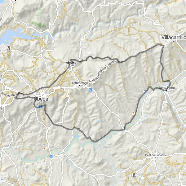
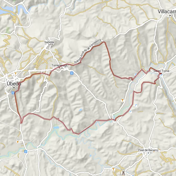
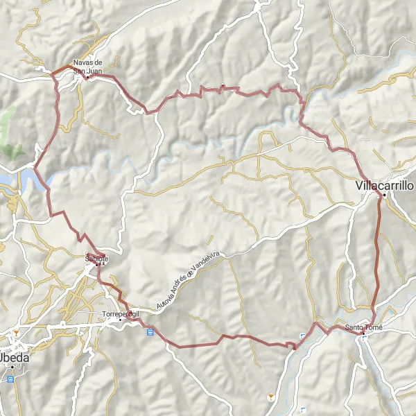
Santo Tomé - Agrupación de Santo Tomé - Torreperogil - Villacarrillo - La Caleruela - Santo Tomé
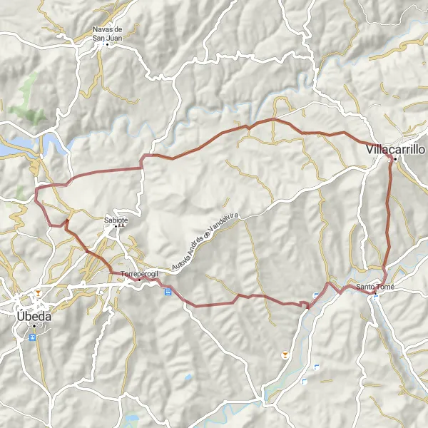
Discover the charming villages of Agrupación de Santo Tomé, Torreperogil, and Villacarrillo, and enjoy the breathtaking views from La Caleruela on this gravel cycling route.
This gravel route starting near Santo Tomé takes you through picturesque villages and offers stunning views from La Caleruela. With a total ascent of 1340 meters and a distance of 71 kilometers, it provides a challenging yet rewarding cycling experience. The route features highlights such as Agrupación de Santo Tomé, Torreperogil, Villacarrillo, and La Caleruela, each offering unique scenic and cultural attractions.

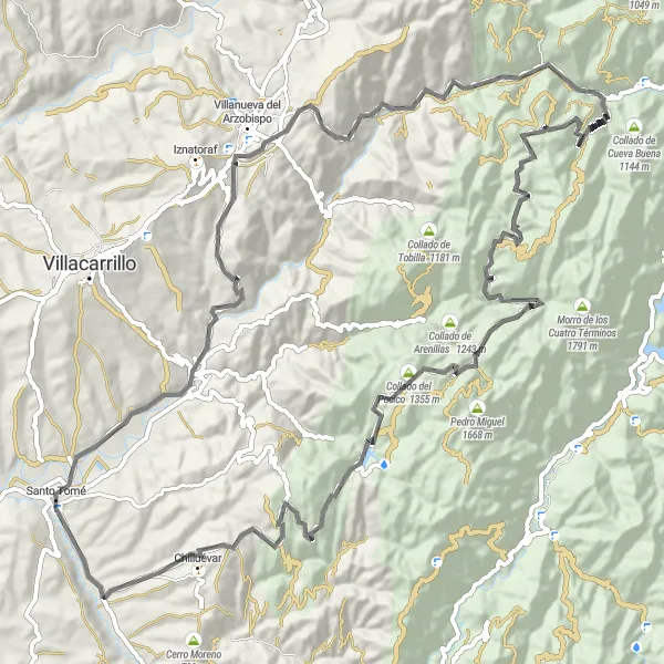
Embark on this challenging road cycling route that takes you through stunning natural landscapes and historical sites, including Área Recreativa Charco del Aceite and Chilluévar.
With a total ascent of 2331 meters and covering 105 kilometers, this road cycling route starting near Santo Tomé offers a challenging adventure for experienced cyclists. Highlights of the route include the picturesque La Caleruela, Área Recreativa Charco del Aceite, El Poyón de Argasa, Collado del Pocico, and Chilluévar, each contributing to the overall allure of the journey.
Embark on a thrilling off-road journey
Get off the beaten path and explore the rugged terrain of Andalucía with this gravel cycling route. With challenging ascents and diverse landscapes, it is recommended for experienced cyclists seeking a true adventure. Discover the epicness of Andalusian gravel paths and be rewarded with panoramic views and unique cultural highlights.
Experience the thrill of challenging climbs as you explore Mogón, Área Recreativa Charco del Aceite, El Poyón de Argasa, Collado del Pocico, and Chilluévar on this road cycling route near Santo Tomé.
With a total distance of 105 kilometers and an ascent of 2331 meters, this road cycling route guarantees an exciting challenge for experienced cyclists. Highlights include Mogón, Área Recreativa Charco del Aceite, El Poyón de Argasa, Collado del Pocico, and Chilluévar, each offering unique attractions that add to the overall allure of the route.
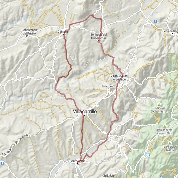
Immerse yourself in the beauty of rural Andalucía as you cycle through Villacarrillo, Castellar, Sorihuela del Guadalimar, Villanueva del Arzobispo, and Mogón on this gravel route.
Covering a total distance of 82 kilometers and featuring a challenging ascent of 1538 meters, this gravel cycling route starting near Santo Tomé offers stunning rural landscapes and the opportunity to explore picturesque villages. Highlights along the way include Villacarrillo, Castellar, Sorihuela del Guadalimar, Villanueva del Arzobispo, and Mogón, each adding to the allure of this scenic adventure.
Cycling routes nearby:


Nearby regions: