The Gravel Path
A gravel cycling route starting from Villacarrillo
Embark on an adventurous gravel ride through the countryside
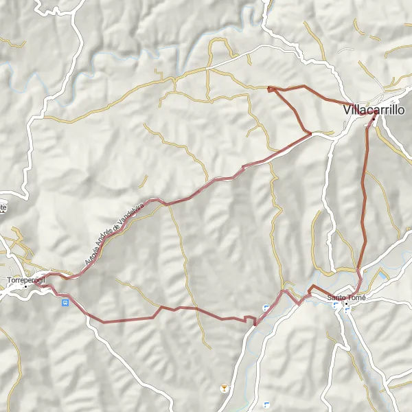
Map
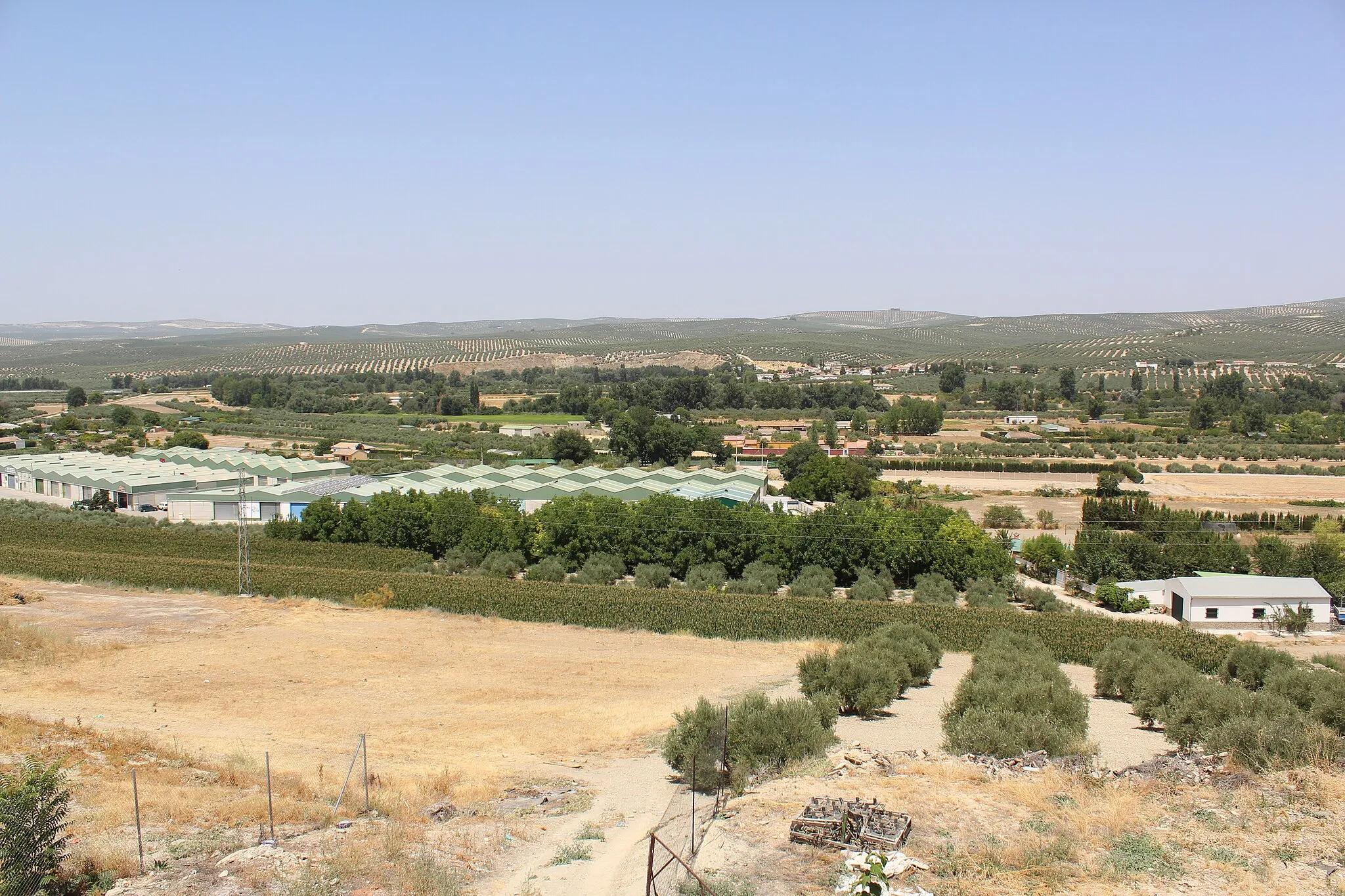
This gravel route takes you on an off-road journey through the scenic Andalusian countryside. As you ride through rugged terrain and gravel paths, you'll encounter breathtaking natural landscapes and charming rural villages. The route is suitable for experienced cyclists who enjoy a bit of challenge and excitement. Along the way, you'll have the opportunity to explore historic sites and soak in the tranquility of the surroundings.
gravel
59 km
1179 m
Tough
Route profile
Highlights on the route
0 km
0 km
Start: Villacarrillo City centerVillacarrillo: Tranquil cycling in Andalucía
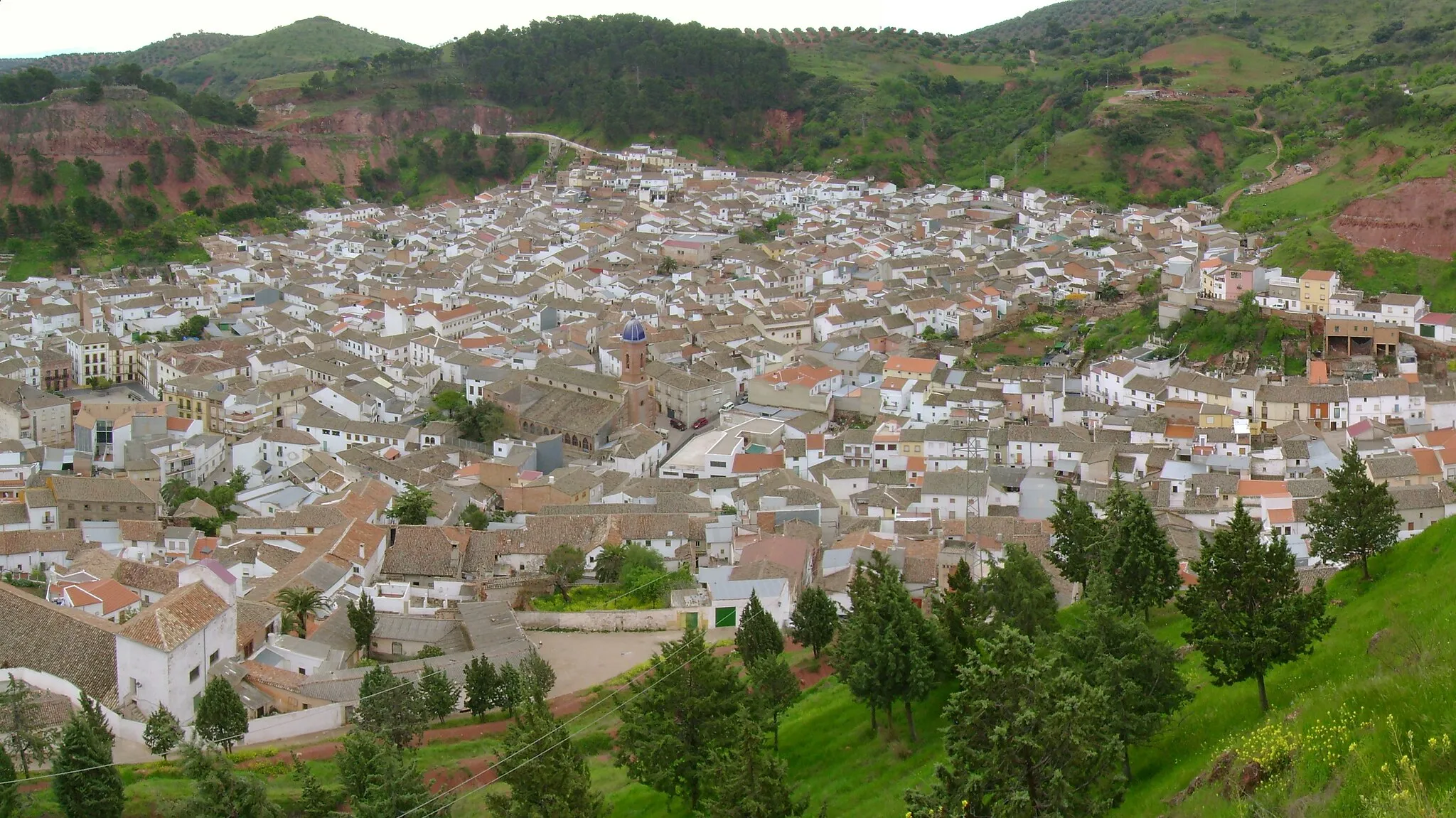
Villacarrillo, located in Andalucía, Spain, is a decent spot for road and gravel cycling. The locality offers various routes across its beautiful countryside, with a mix of gentle inclines and challenging climbs. One nearby well-known cycling spot is the ascent to Sierra de las Villas Nature Reserve, offering scenic landscapes and moderate gradients. Although Villacarrillo may not have the fame of some other cycling destinations, it still provides a tranquil and picturesque setting for cyclists to enjoy. This hidden gem is worth exploring for its peaceful roads and natural beauty.0 km
0 km
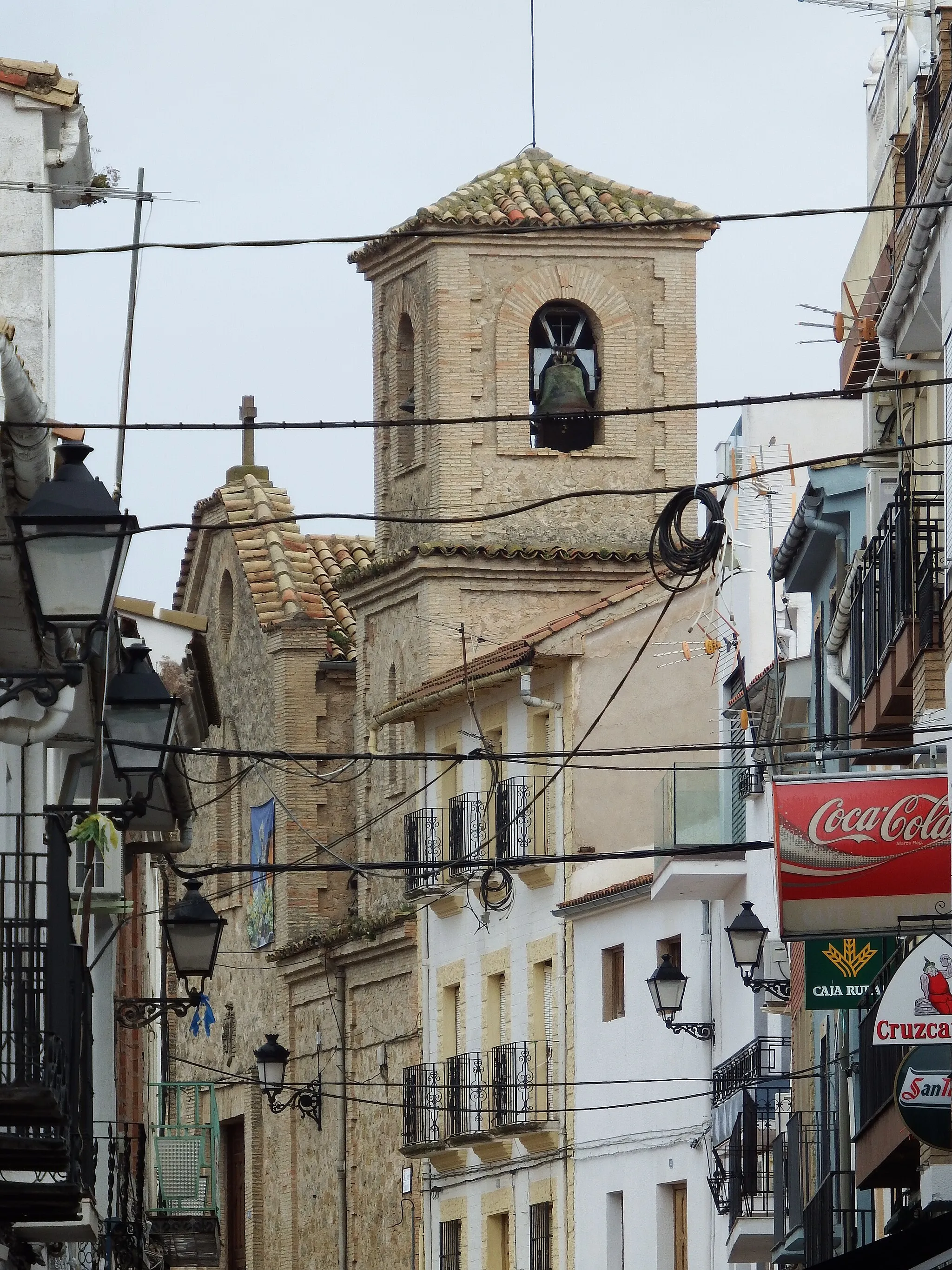
VillacarrilloTownBegin your journey in Villacarrillo, a town with a laid-back ambiance and interesting architectural heritage.
8 km
8 km
La CaleruelaHamletPass through La Caleruela, a hidden gem known for its traditional whitewashed houses and beautiful views.
14 km
14 km
Agrupación de Santo ToméHamletStop by Agrupación de Santo Tomé and learn about its historical importance as a meeting place for local communities.
31 km
31 km
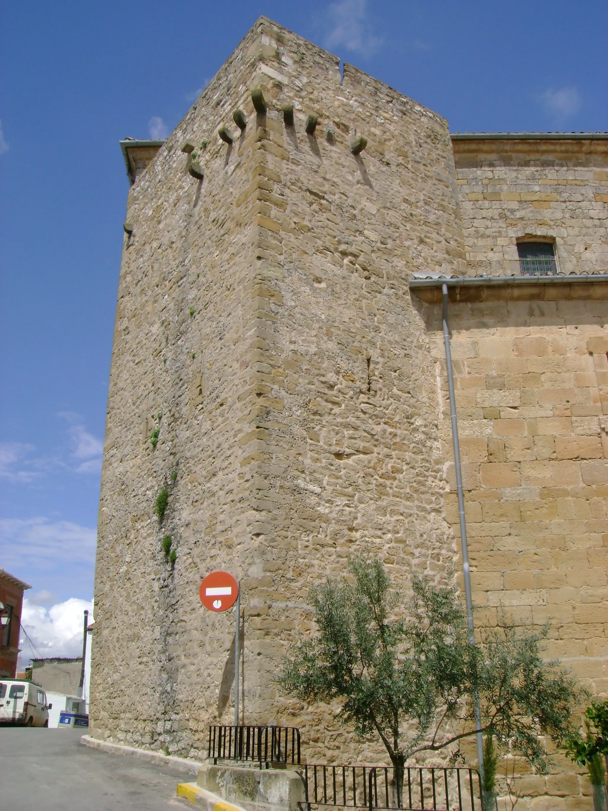
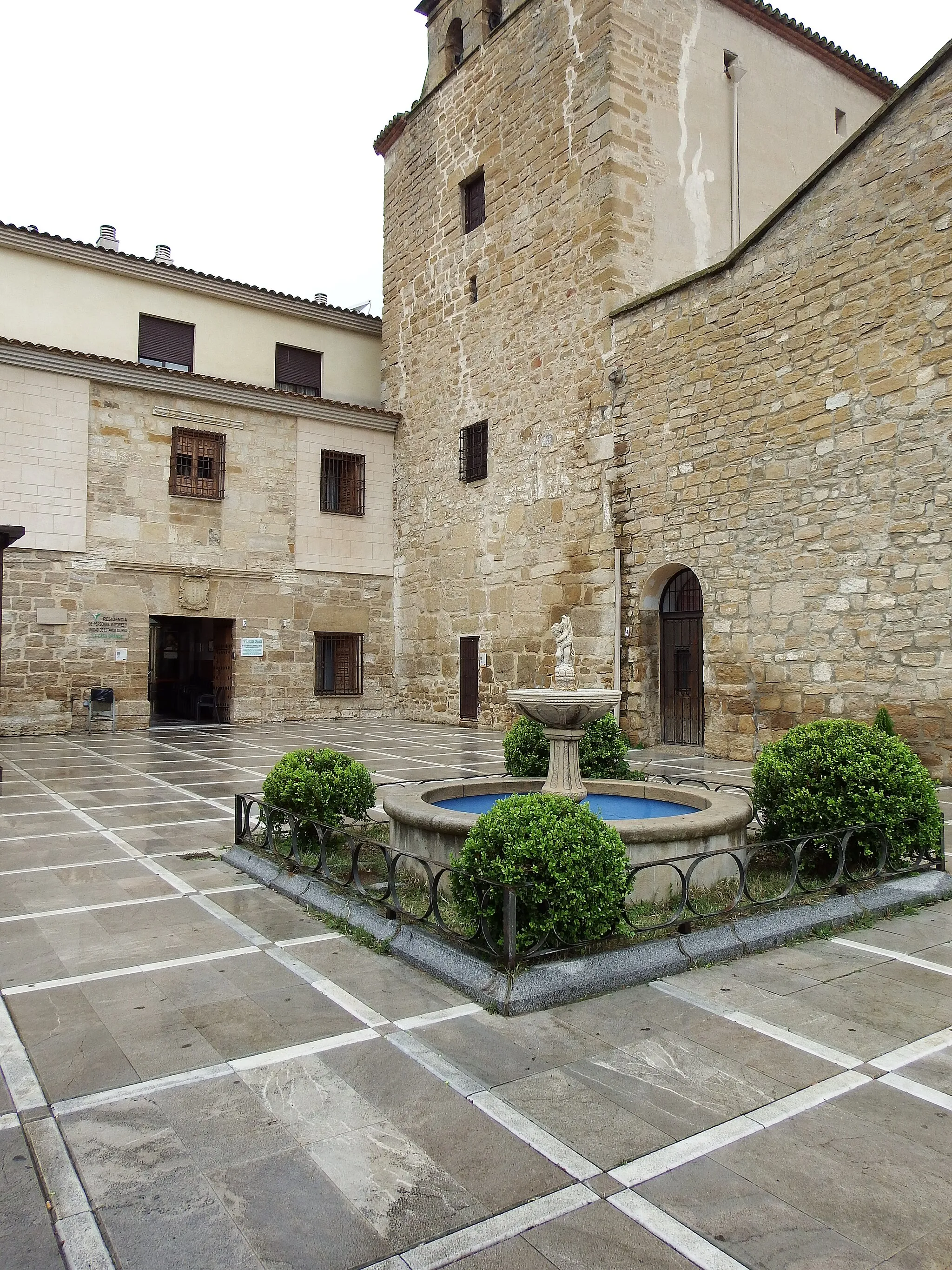
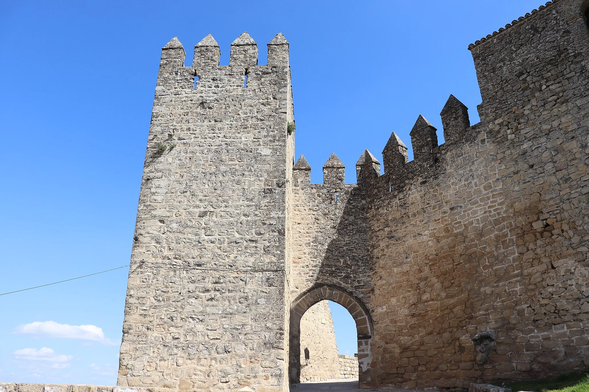
TorreperogilVillageExplore Torreperogil's charming center and marvel at its well-preserved medieval tower.
59 km
59 km
Finish: Villacarrillo City centerVillacarrillo: Tranquil cycling in Andalucía
Cycling routes from Villacarrillo:
Villacarrillo to Mogón Gravel Cycling Route Scenic Escape Villas to Hamlets Villacarrillo to Mirador de los Calerines Road Cycling Route Villacarrillo to Collado del Pocico Road Cycling Route Villacarrillo to Castillo de Sabiote Gravel Cycling Route The Gravel Path Ultimate Adventure Villacarrillo to Gútar Road Cycling Route Hidden Trails
Cycling routes nearby: