Ultimate Gravel Challenge near Churriana de la Vega
A gravel cycling route starting from Churriana de la Vega
Conquer the steep climbs and breathtaking viewpoints on this ultimate gravel challenge near Churriana de la Vega
Map
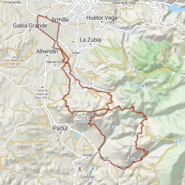
This gravel challenge is designed to push and thrill experienced cyclists. With an ascent of 2512 meters and a distance of 85 kilometers, this route offers a demanding and rewarding experience. The difficulty level of this route is 5, and the epicness score is 5, due to the inclusion of several famous climbs and scenic viewpoints.
gravel
85 km
2512 m
Savage
Route profile
Highlights on the route
0 km
0 km
Start: Churriana de la Vega City centerChurriana de la Vega: Convenient cycling base near Granada.
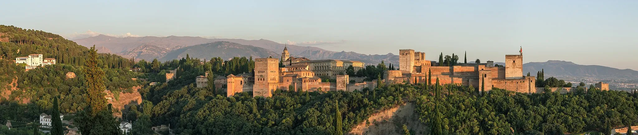
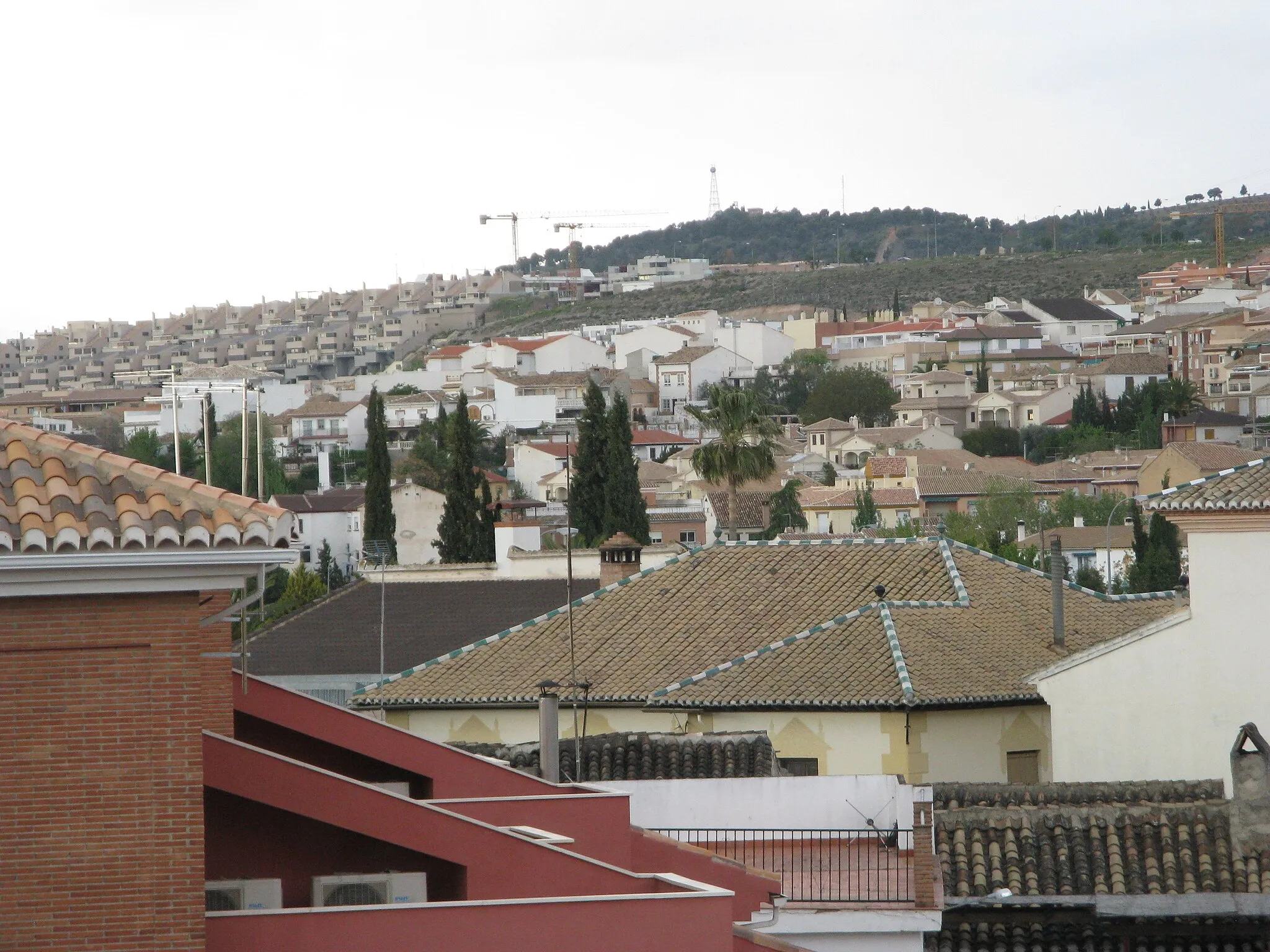
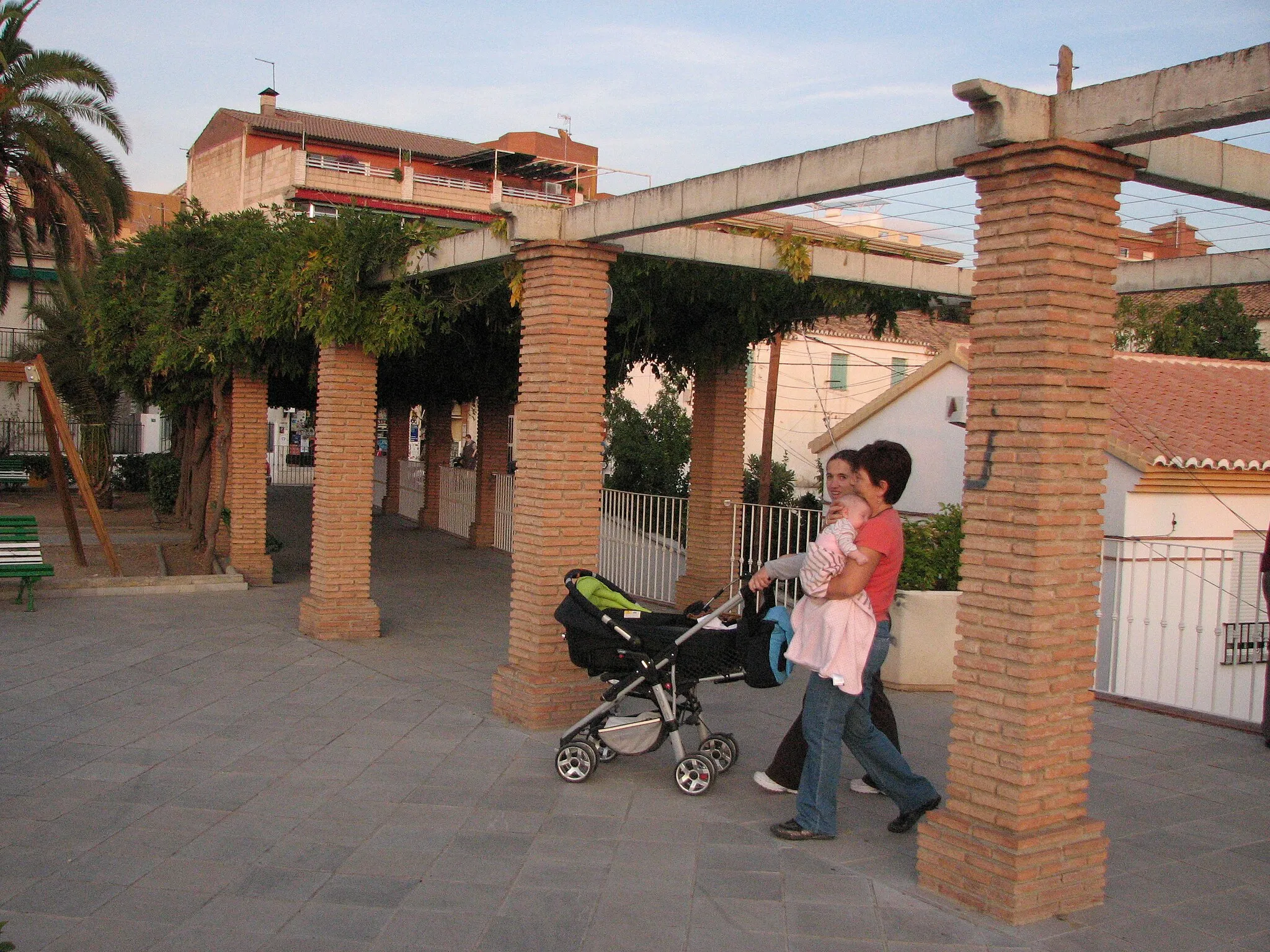
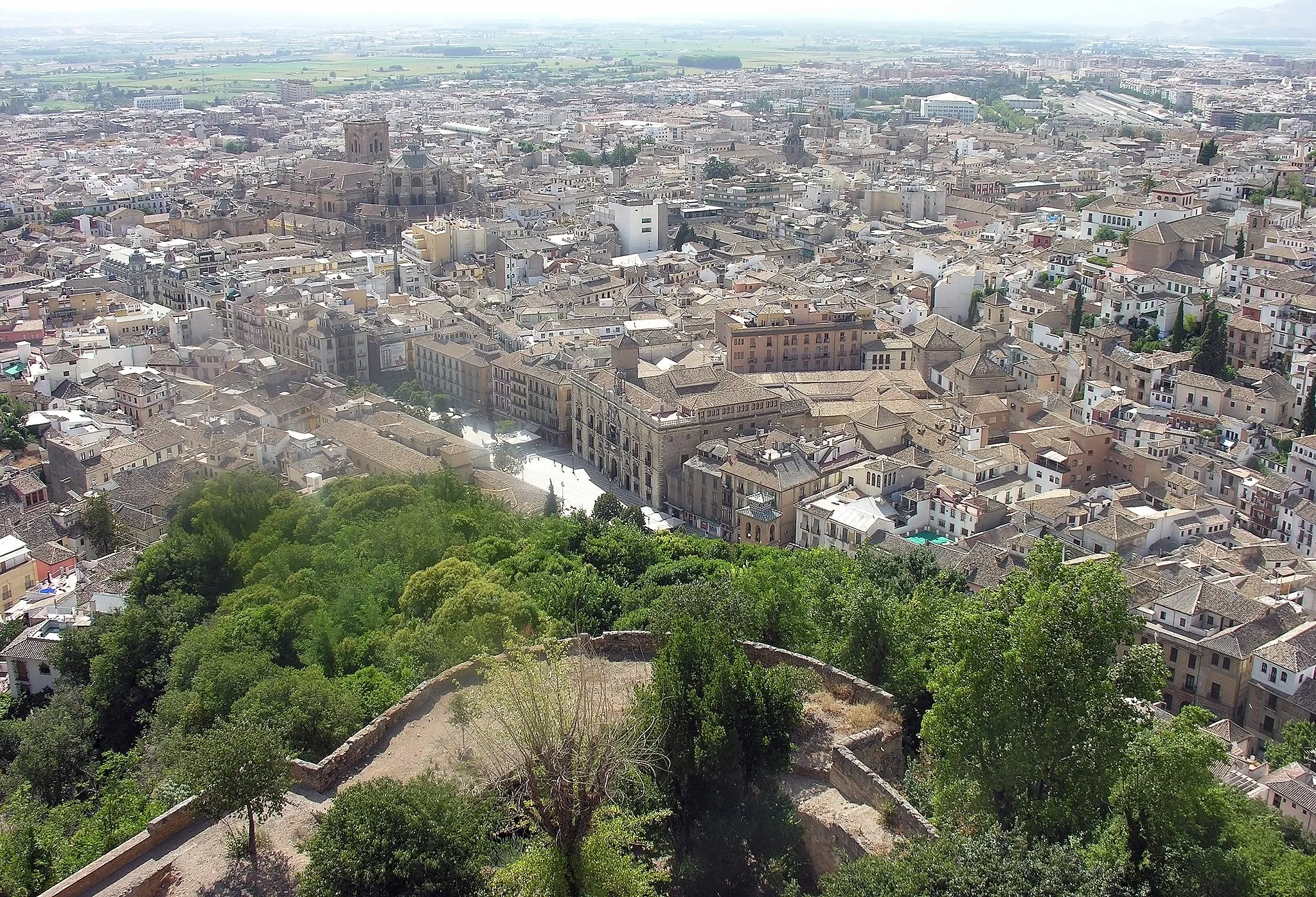
Churriana de la Vega is a locality in Andalucía, Spain. From a cyclist's perspective, the town offers mainly urban and rural roads for cycling. While it may not have any famous cycling-related spots or well-known climbs nearby, its convenient location near Granada provides easy access to more popular cycling destinations in the region. Churriana de la Vega offers amenities for cyclists, including bike shops and rental services. Additionally, the town is surrounded by beautiful countryside, offering opportunities for leisurely rides. Overall, Churriana de la Vega is a suitable location for road cycling, particularly for those looking to explore the wider Granada area.0 km
0 km
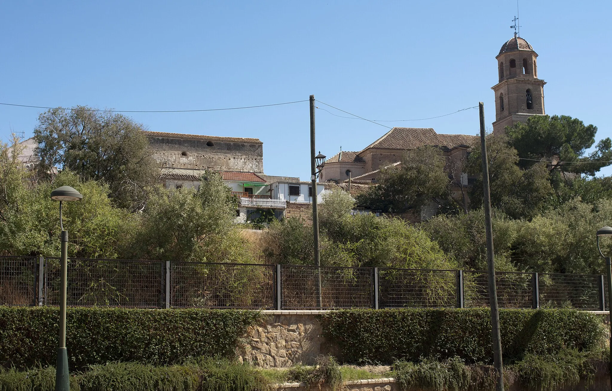
Churriana de la VegaTownChurriana de la Vega is a picturesque town with a rich cultural heritage.
15 km
15 km
Puerto de las Calaveras1124 mMountain PassPuerto de las Calaveras is a challenging climb with a stunning mountain backdrop.
35 km
35 km
Collado de los Volaores1554 mMountain PassCollado de los Volaores offers panoramic views of the surrounding valleys and mountains.
46 km
46 km
Mirador de la RazuelaViewpointMirador de la Razuela is a viewpoint that provides breathtaking views of the surrounding landscapes.
49 km
49 km
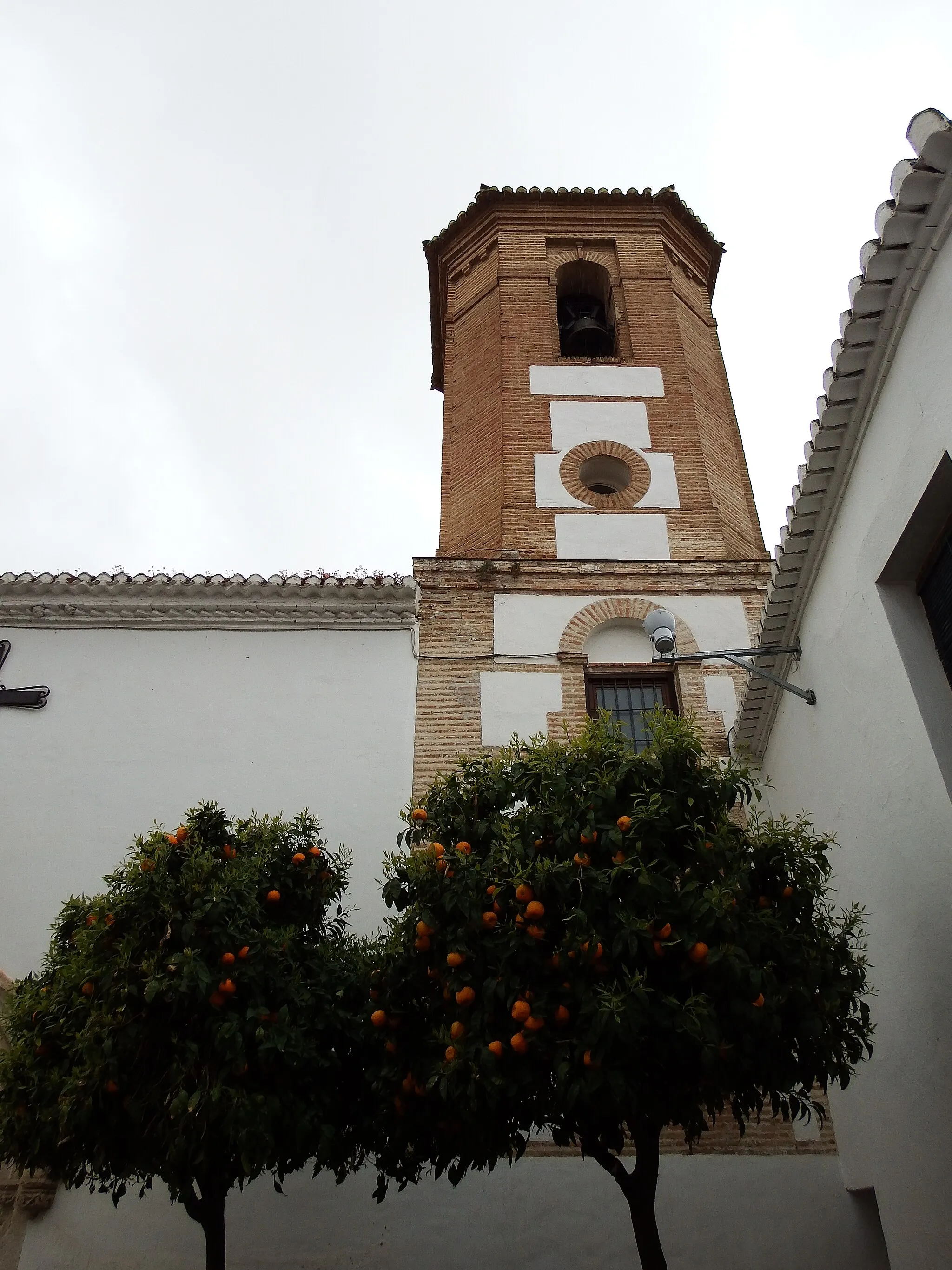
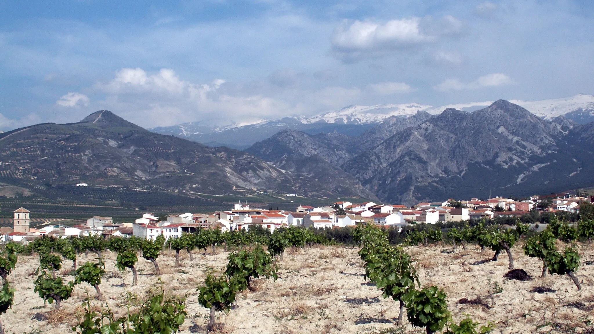
DúrcalVillageDúrcal is a charming village with traditional Andalusian architecture.
71 km
71 km
DílarVillageDílar is a quaint village known for its historic buildings and tranquil atmosphere.
85 km
85 km
Finish: Churriana de la Vega City centerChurriana de la Vega: Convenient cycling base near Granada.
Cycling routes from Churriana de la Vega:
Cycling routes nearby: